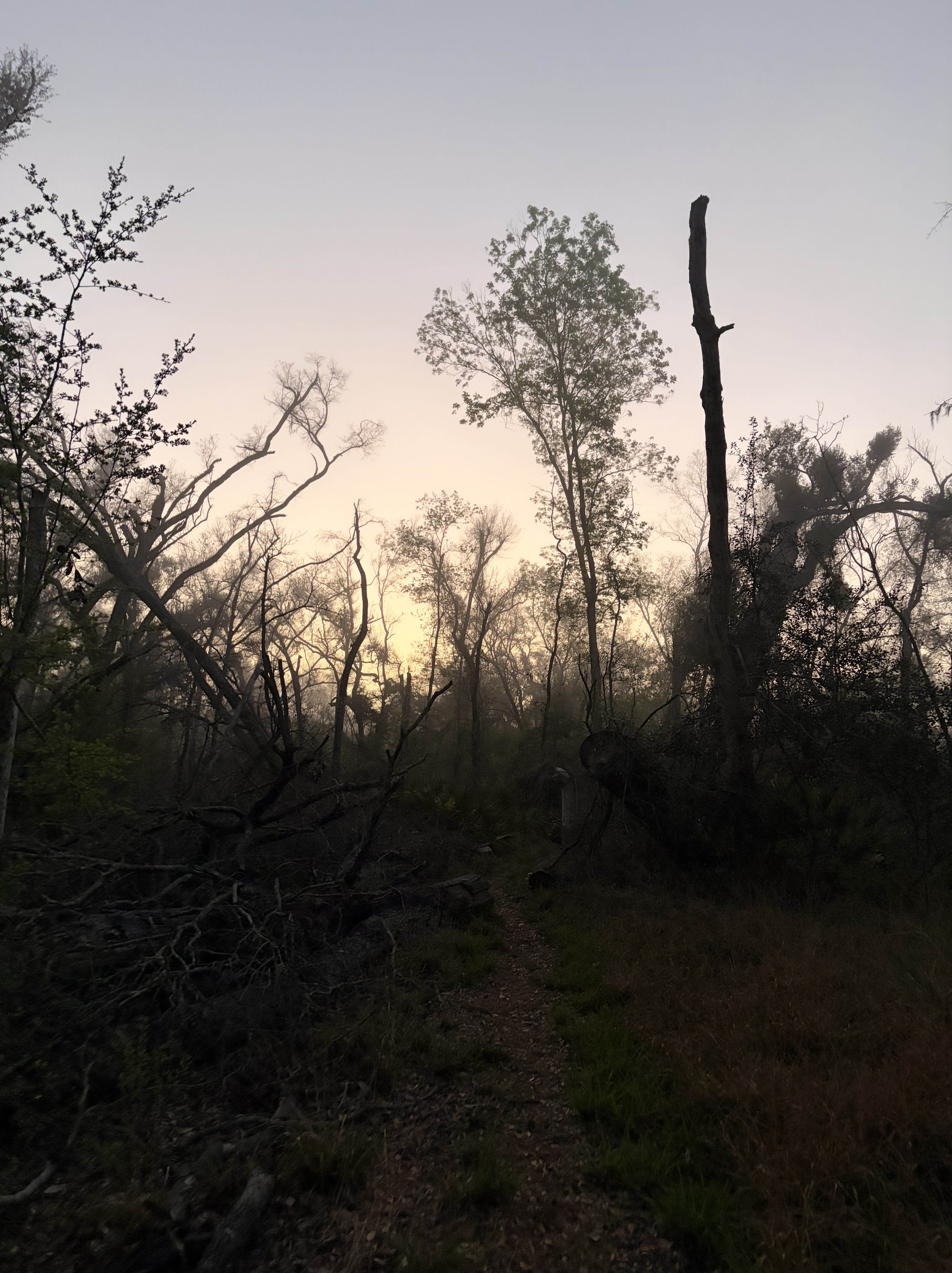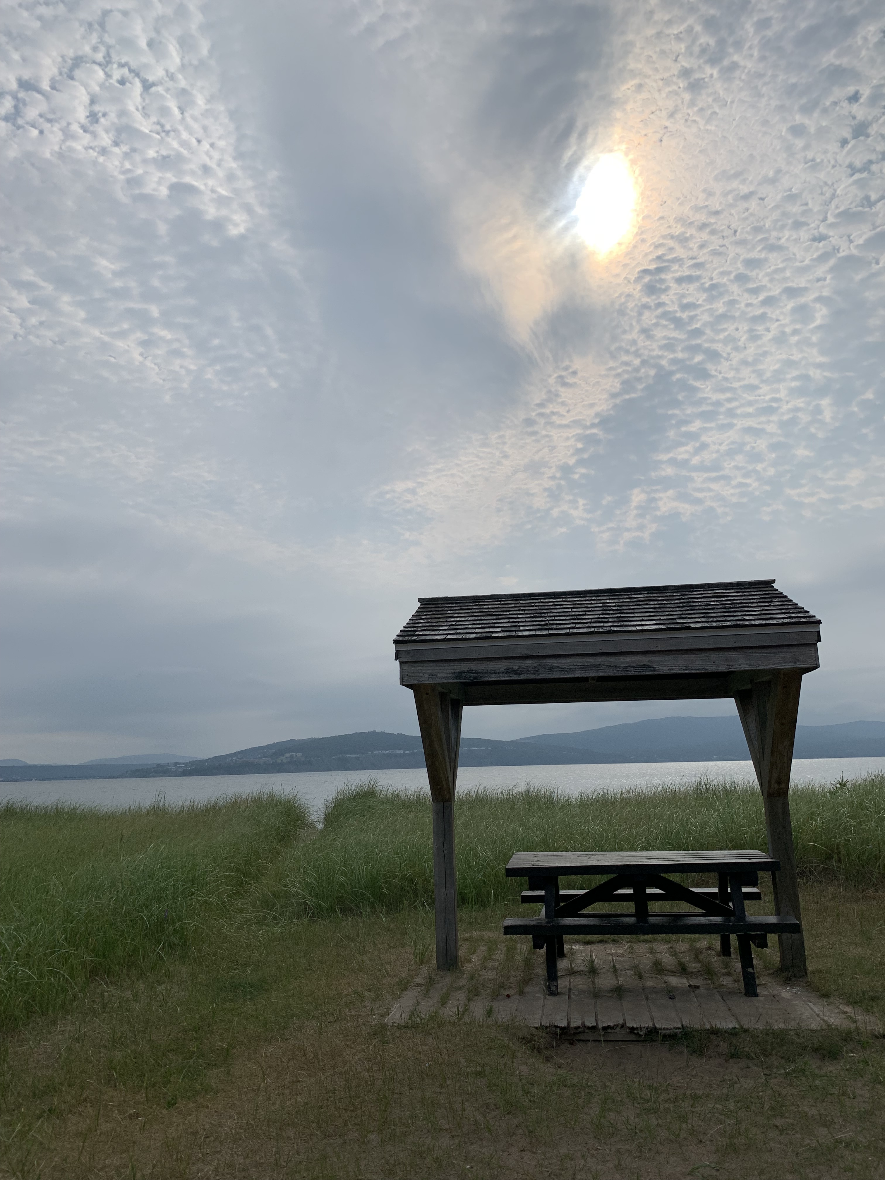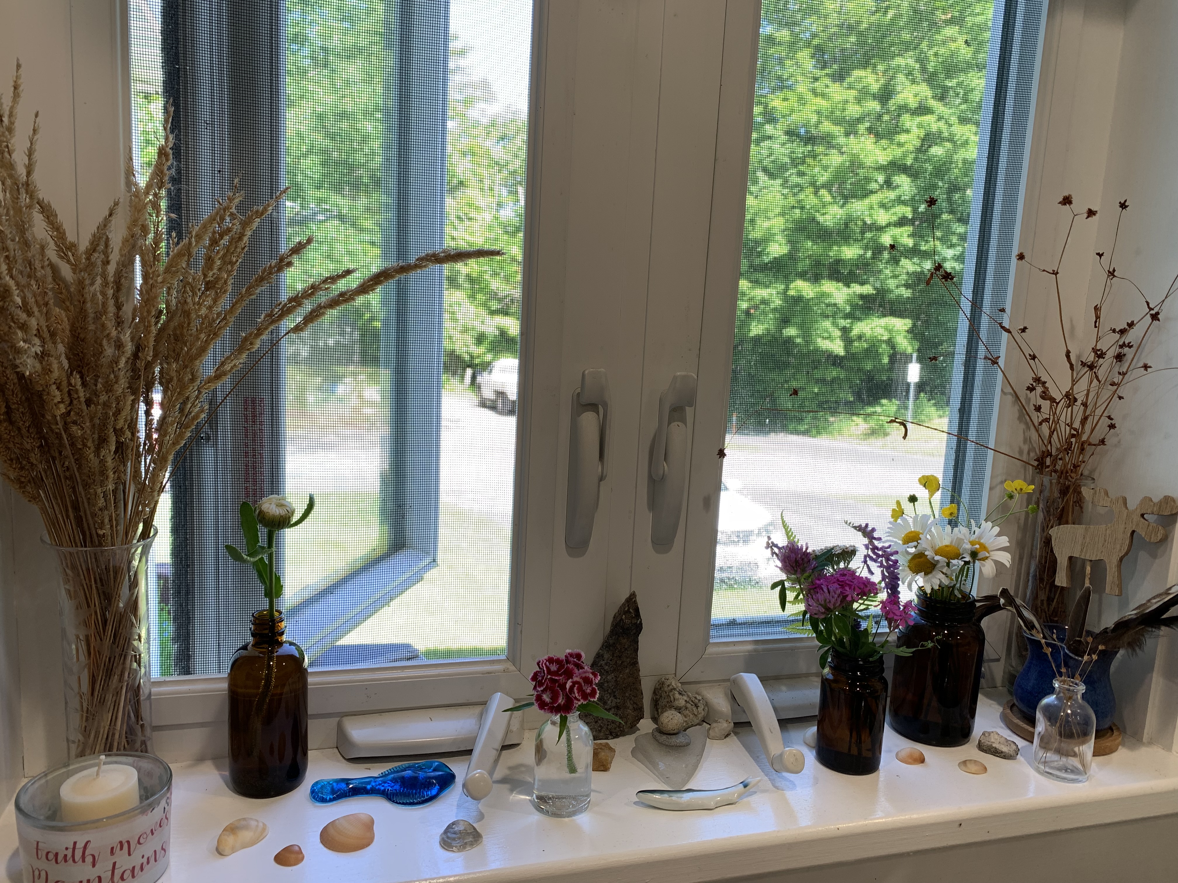
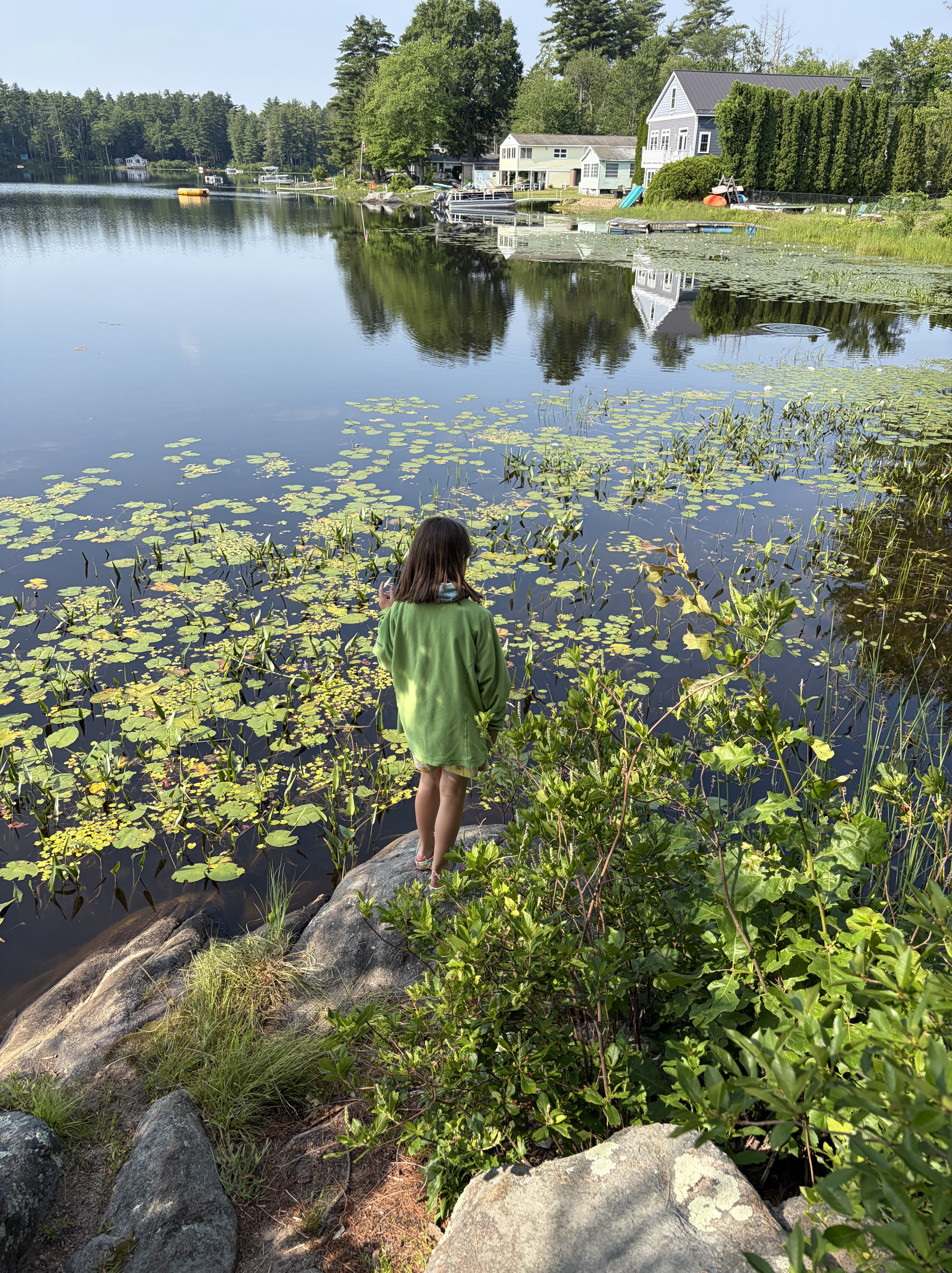
I wake one morning this week to cool air, windows open wide.
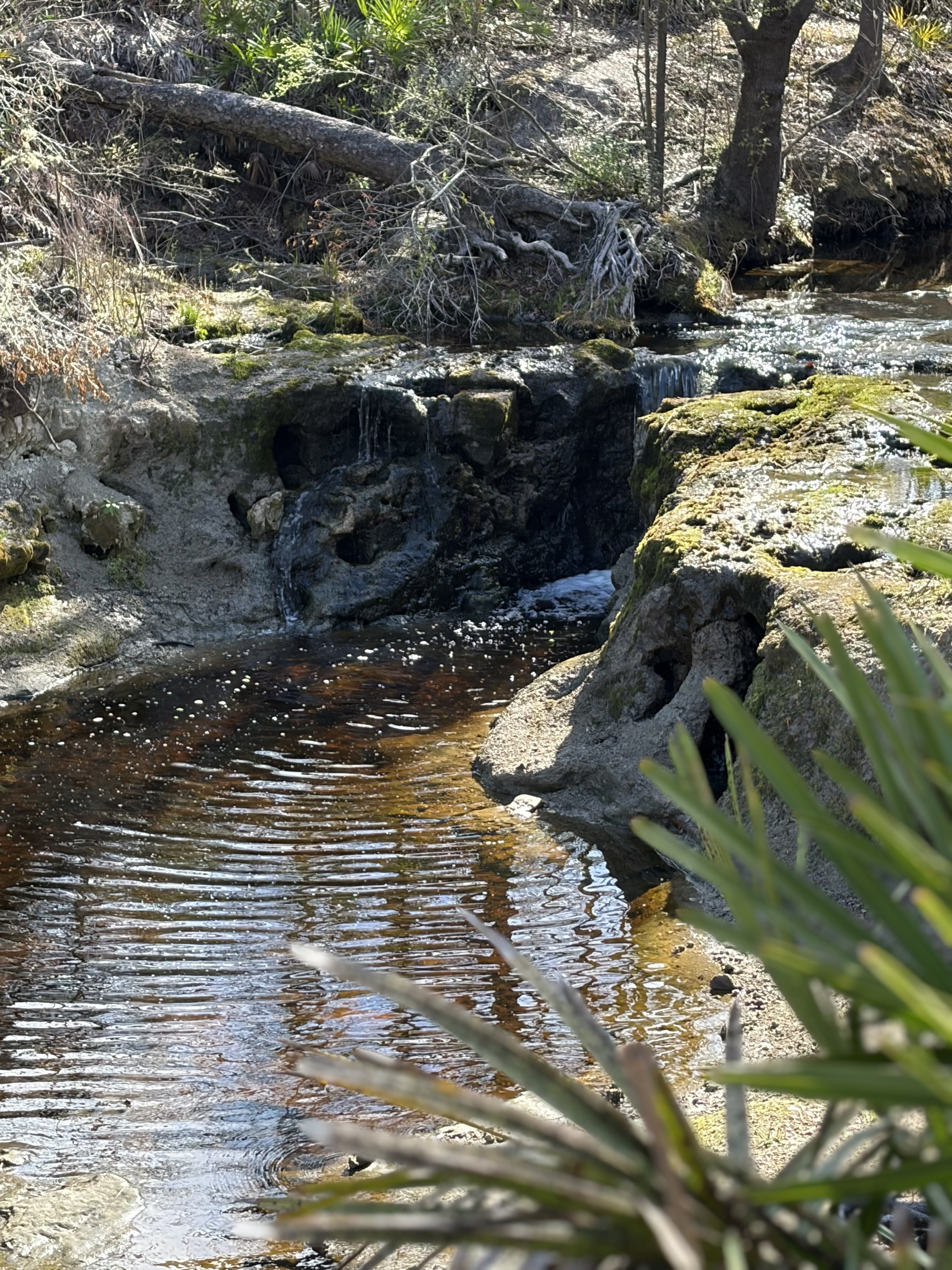
In my tiny house, I can practically touch fingertips to opposite walls, and all around me birds are hailing in the morning. For a moment, it feels expansive, like my tent somewhere deep in the woods, and I tunnel under quilt, reluctant to let the moment pass.
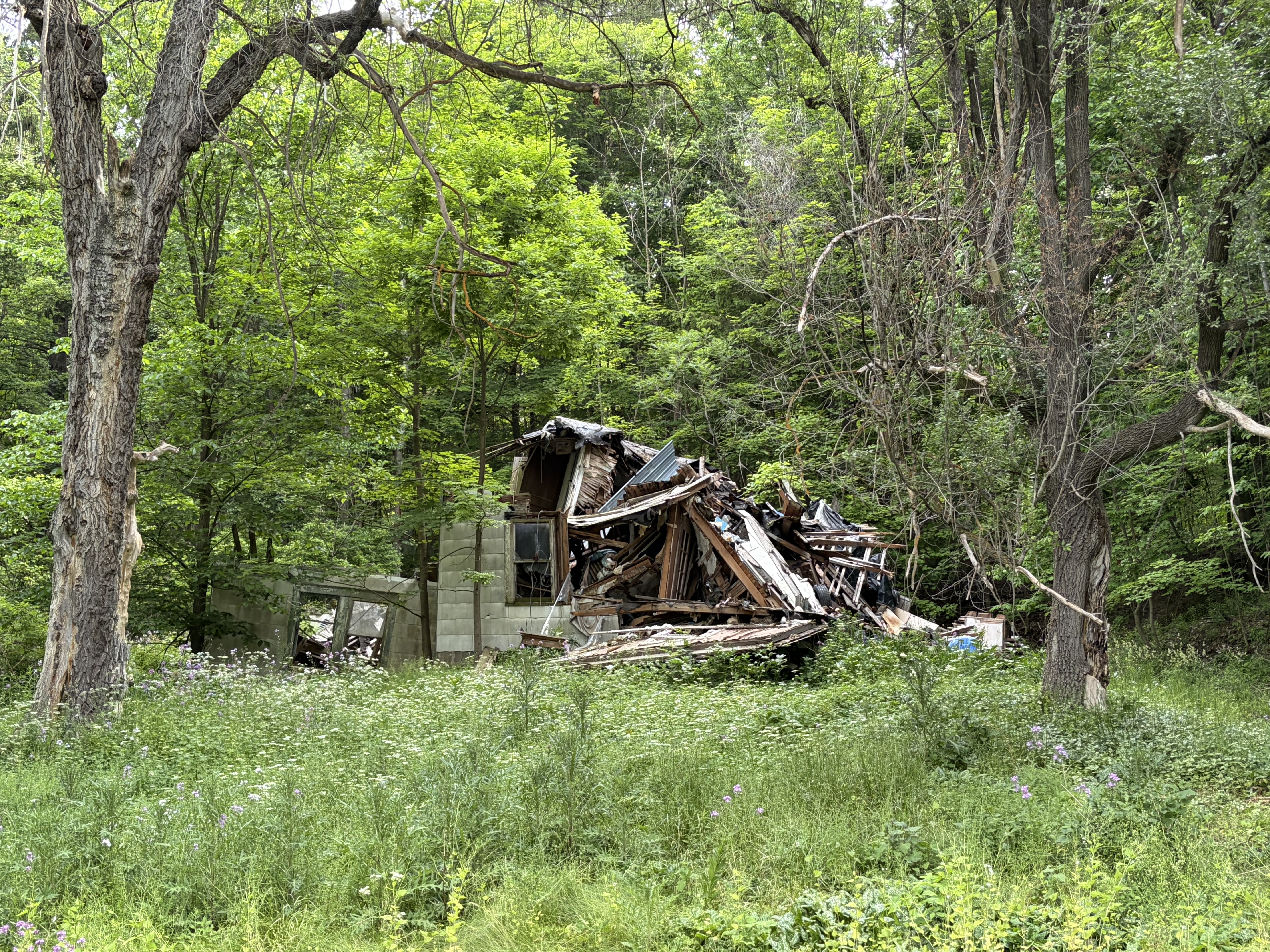
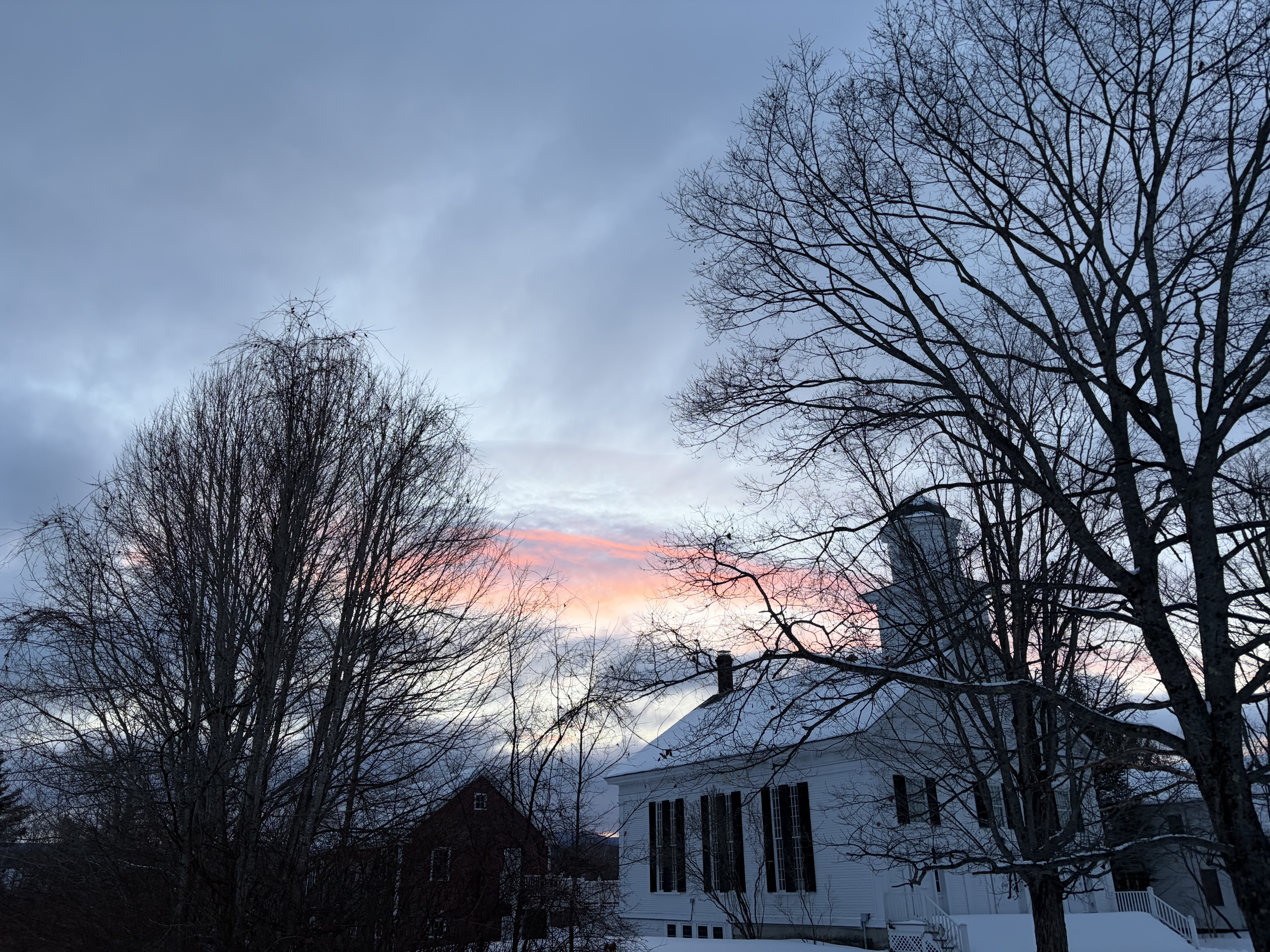
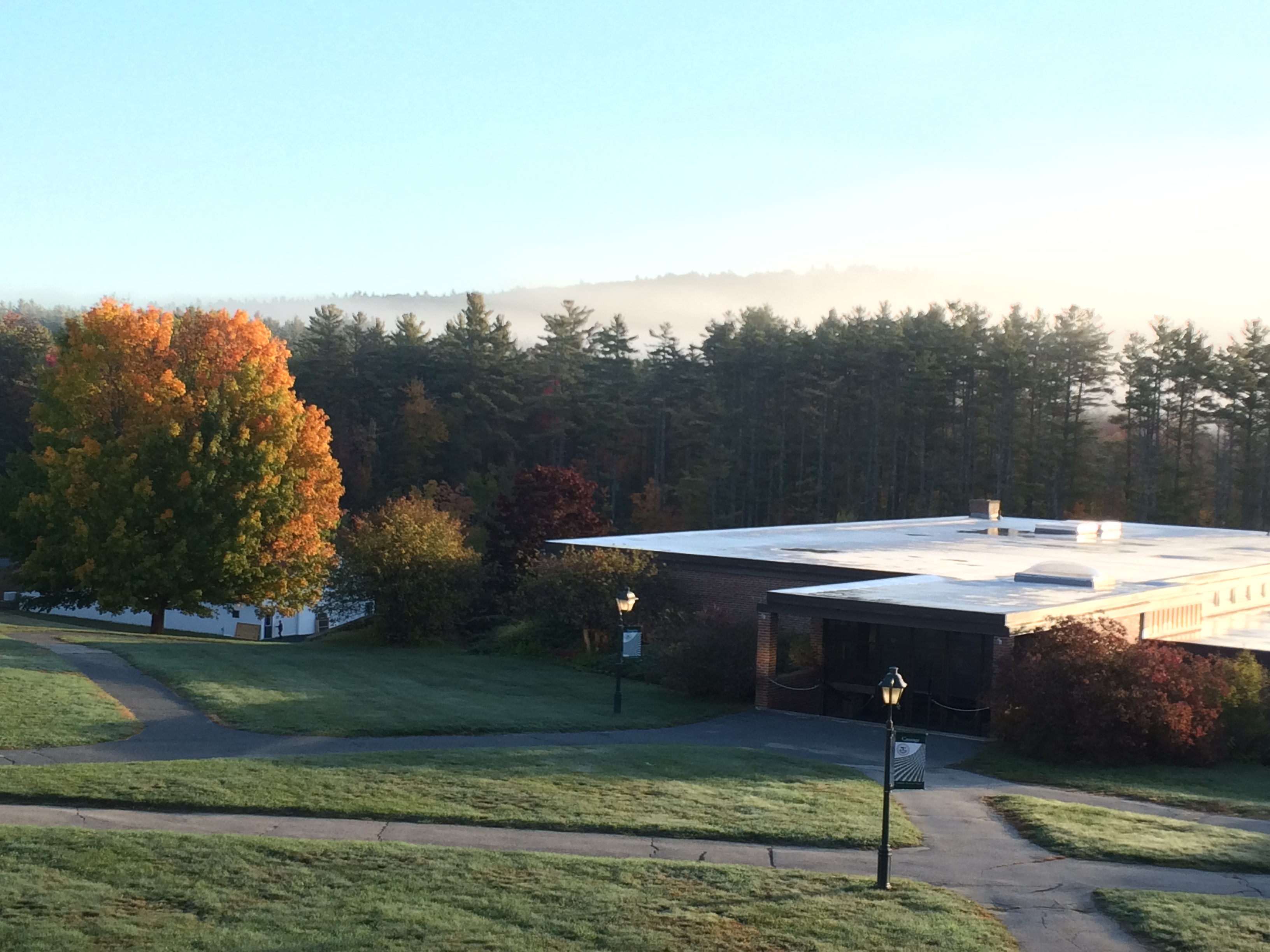
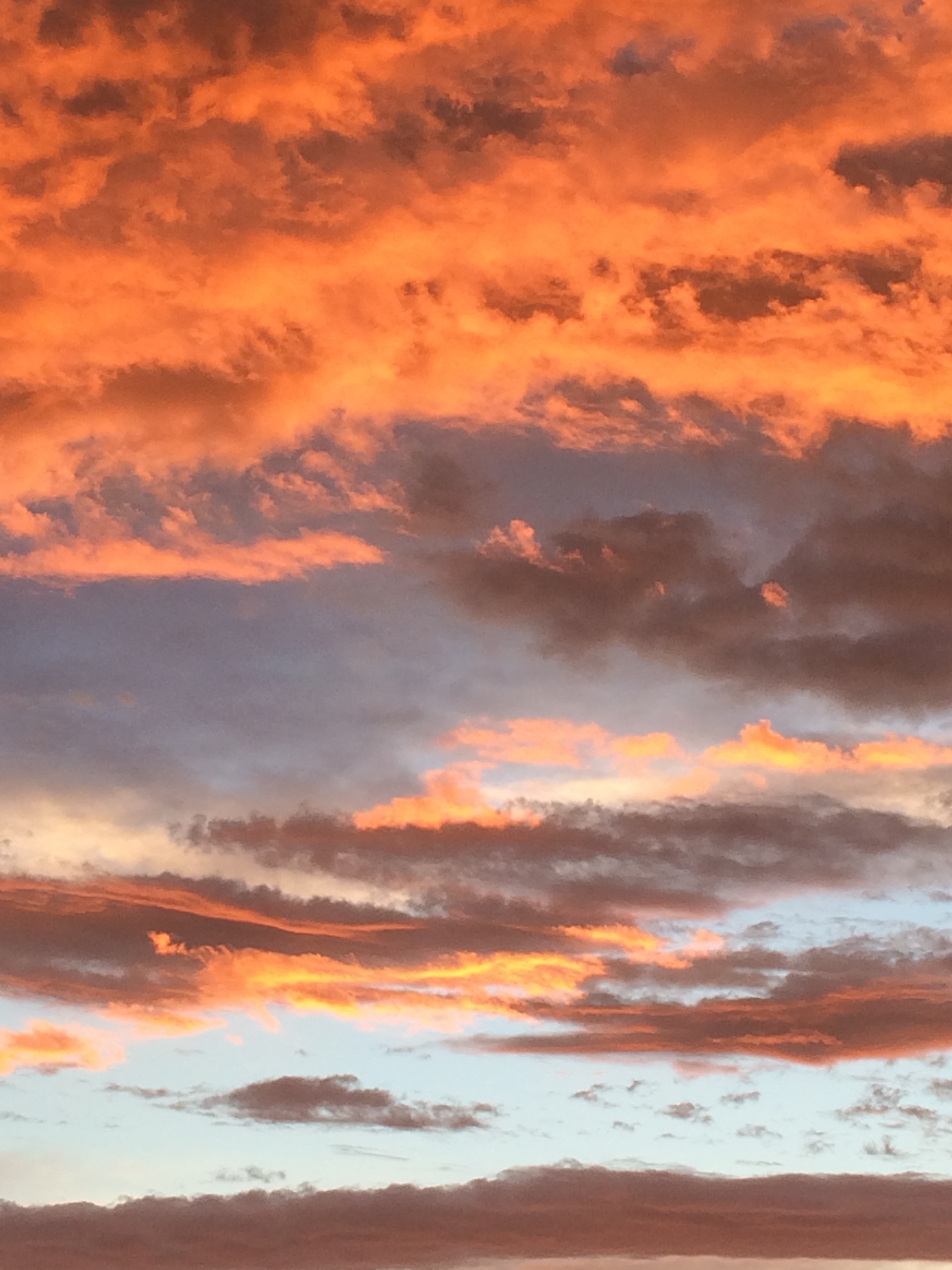
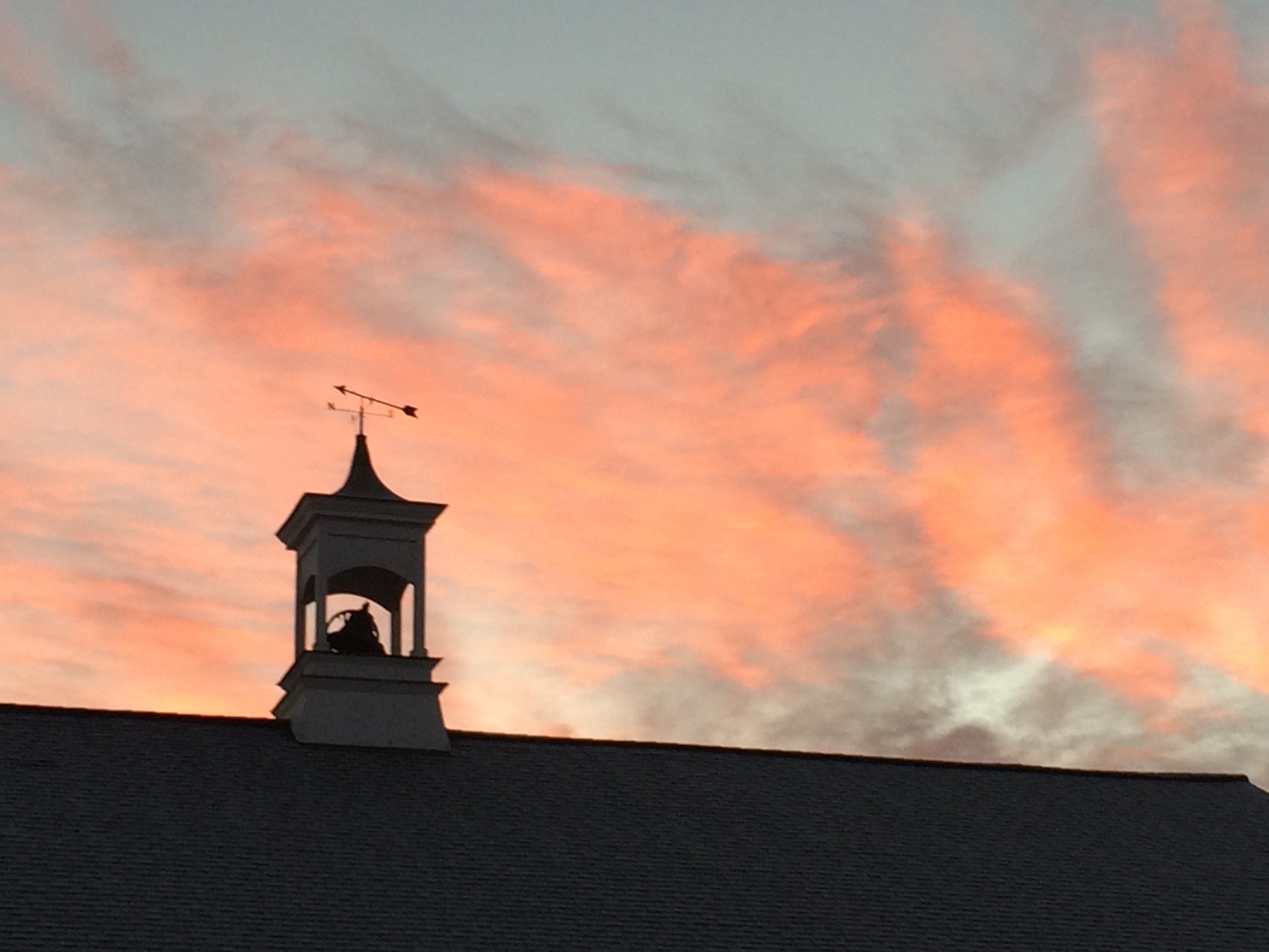
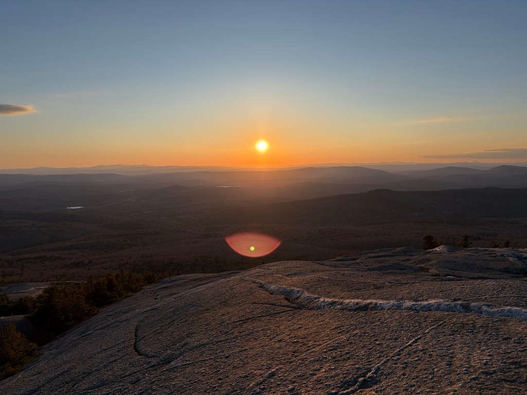
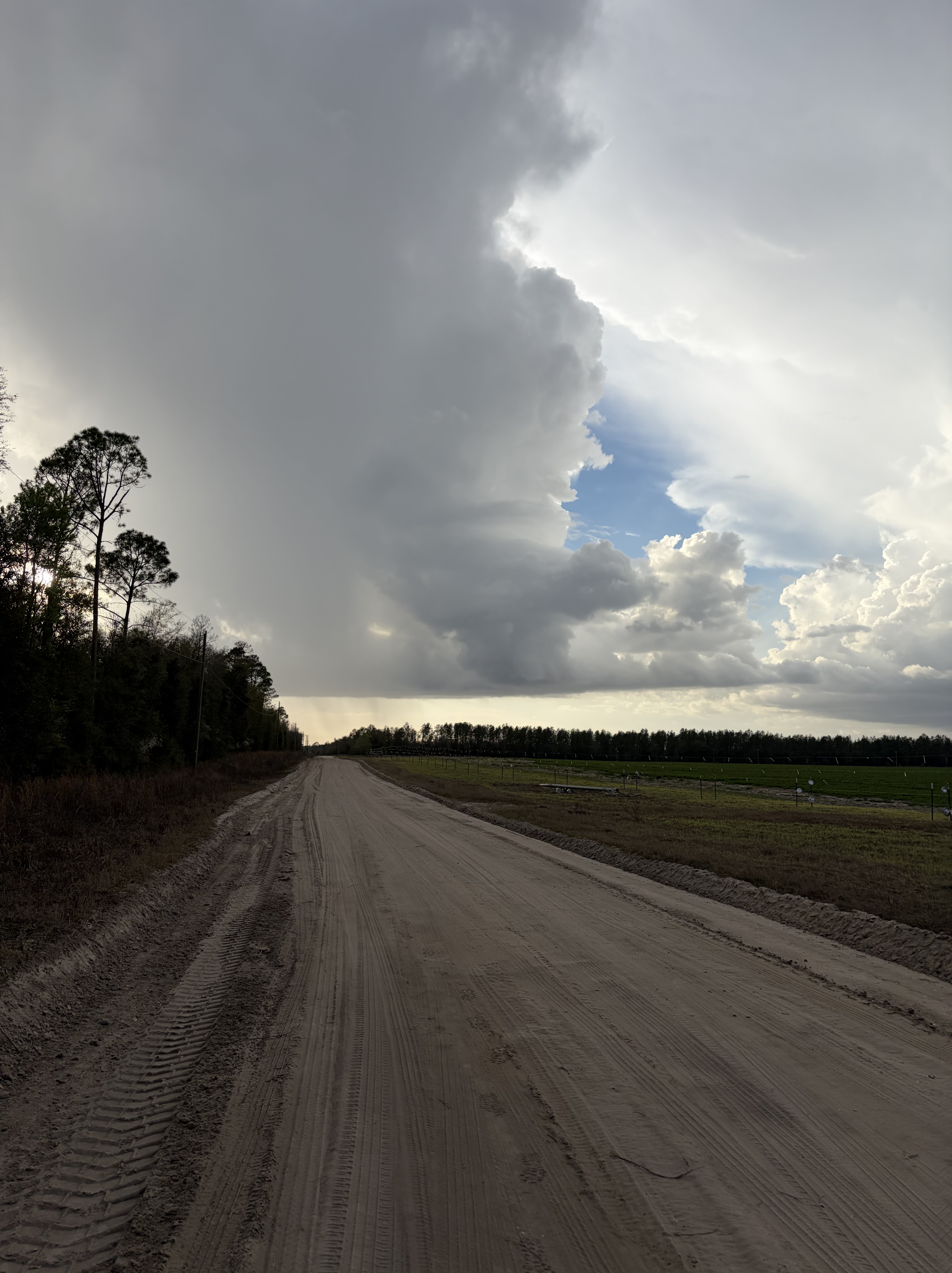
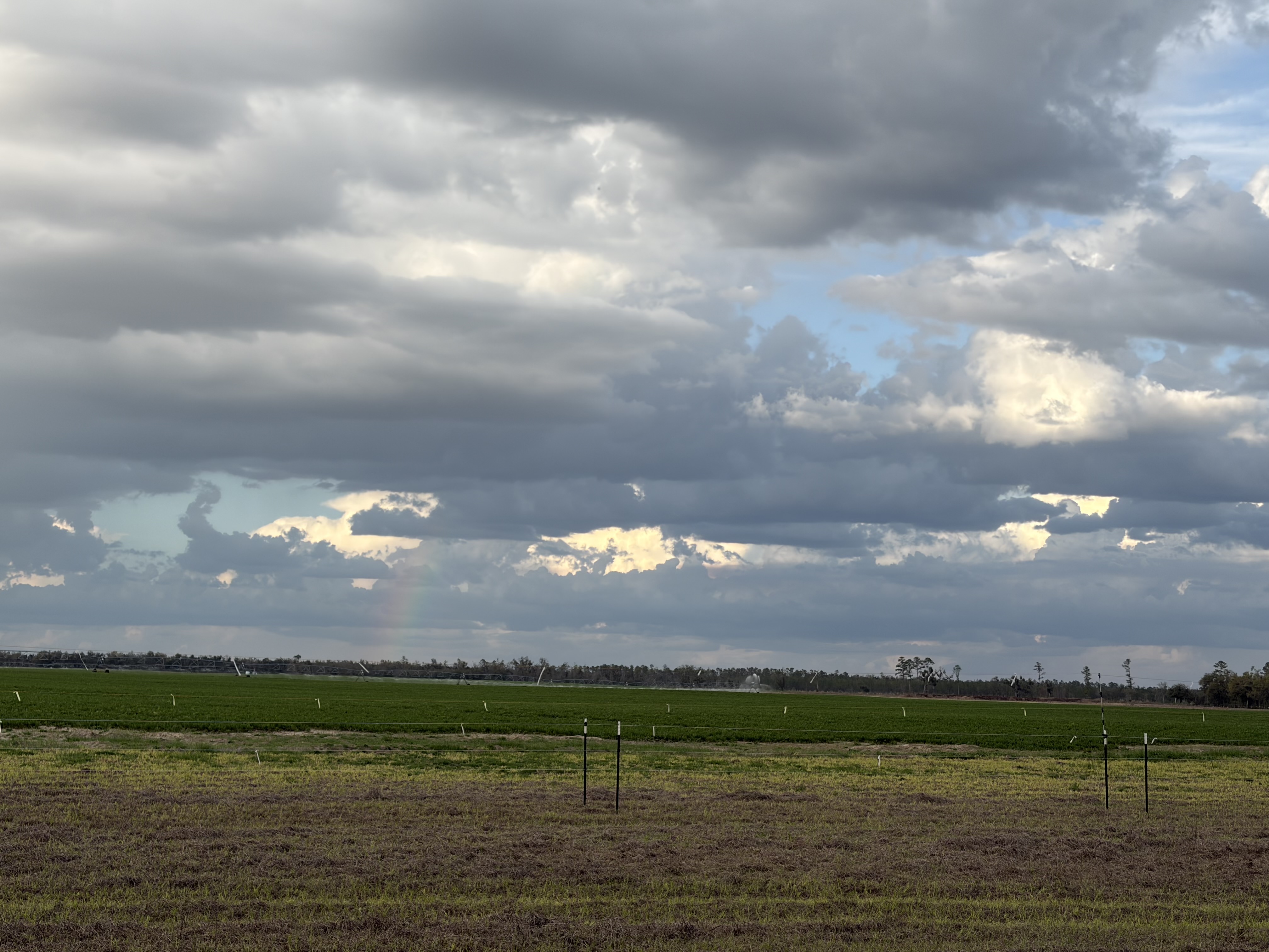
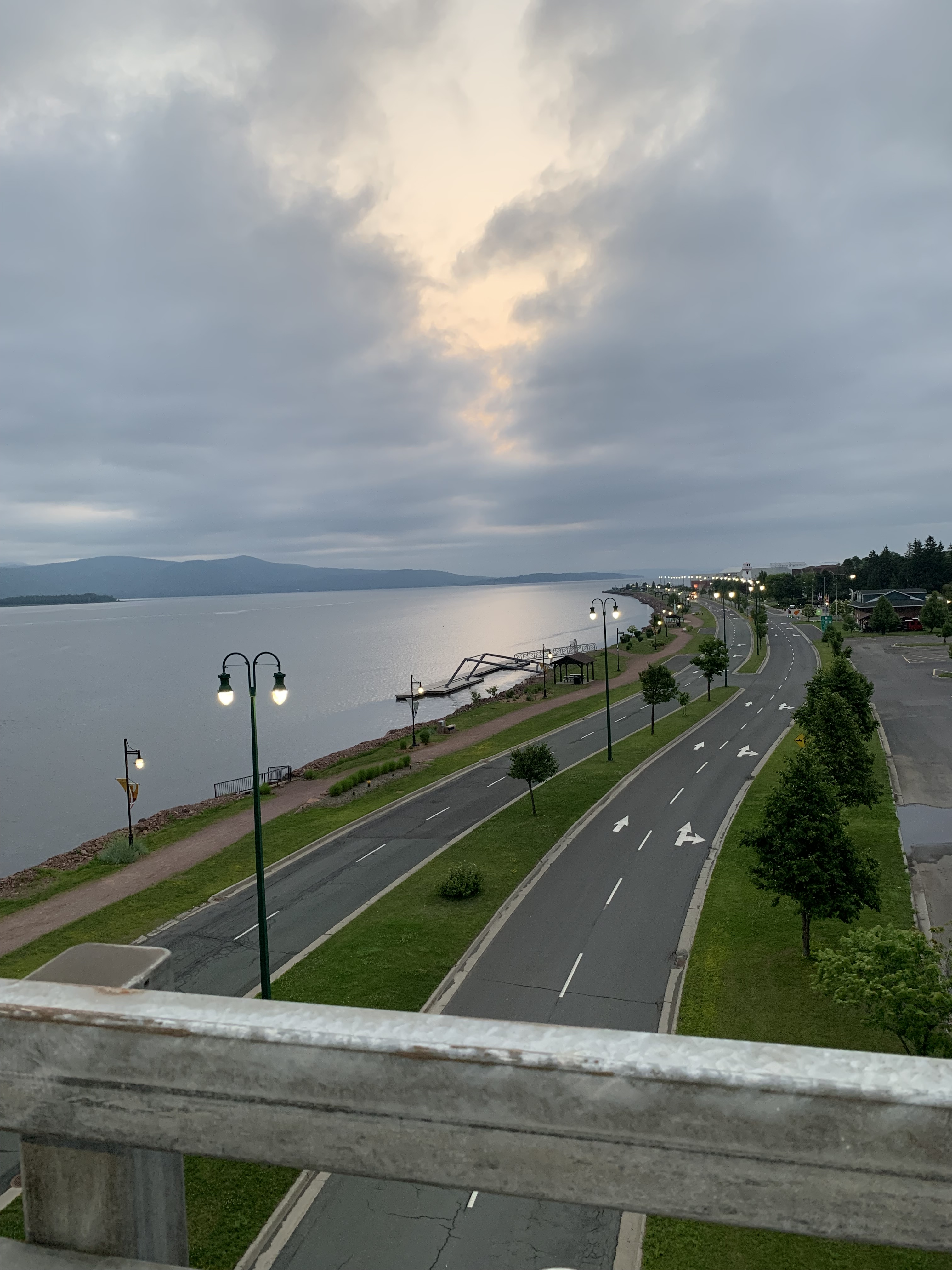
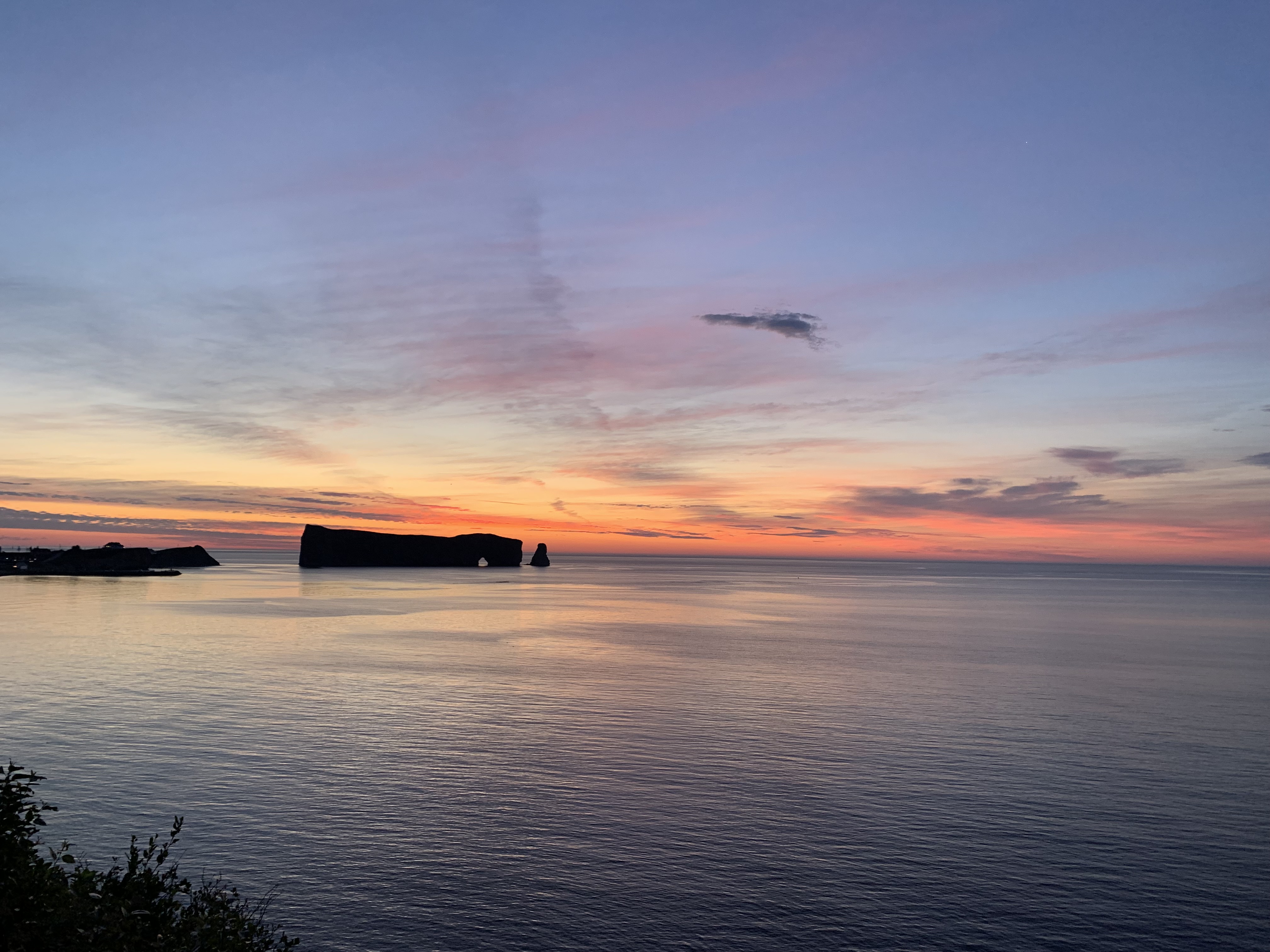
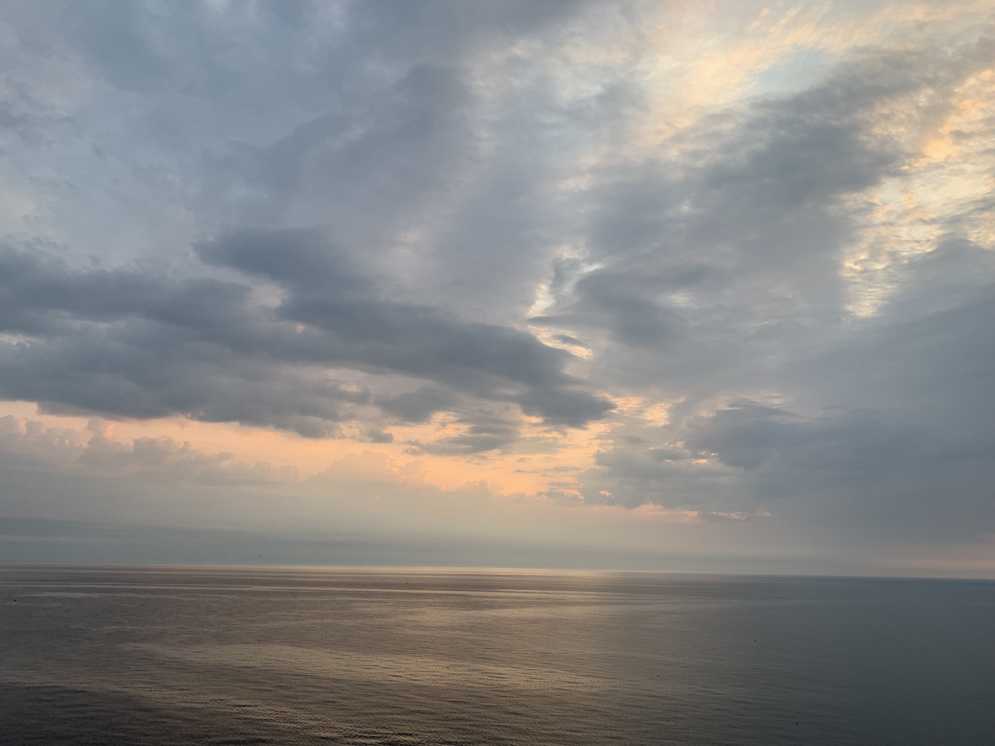
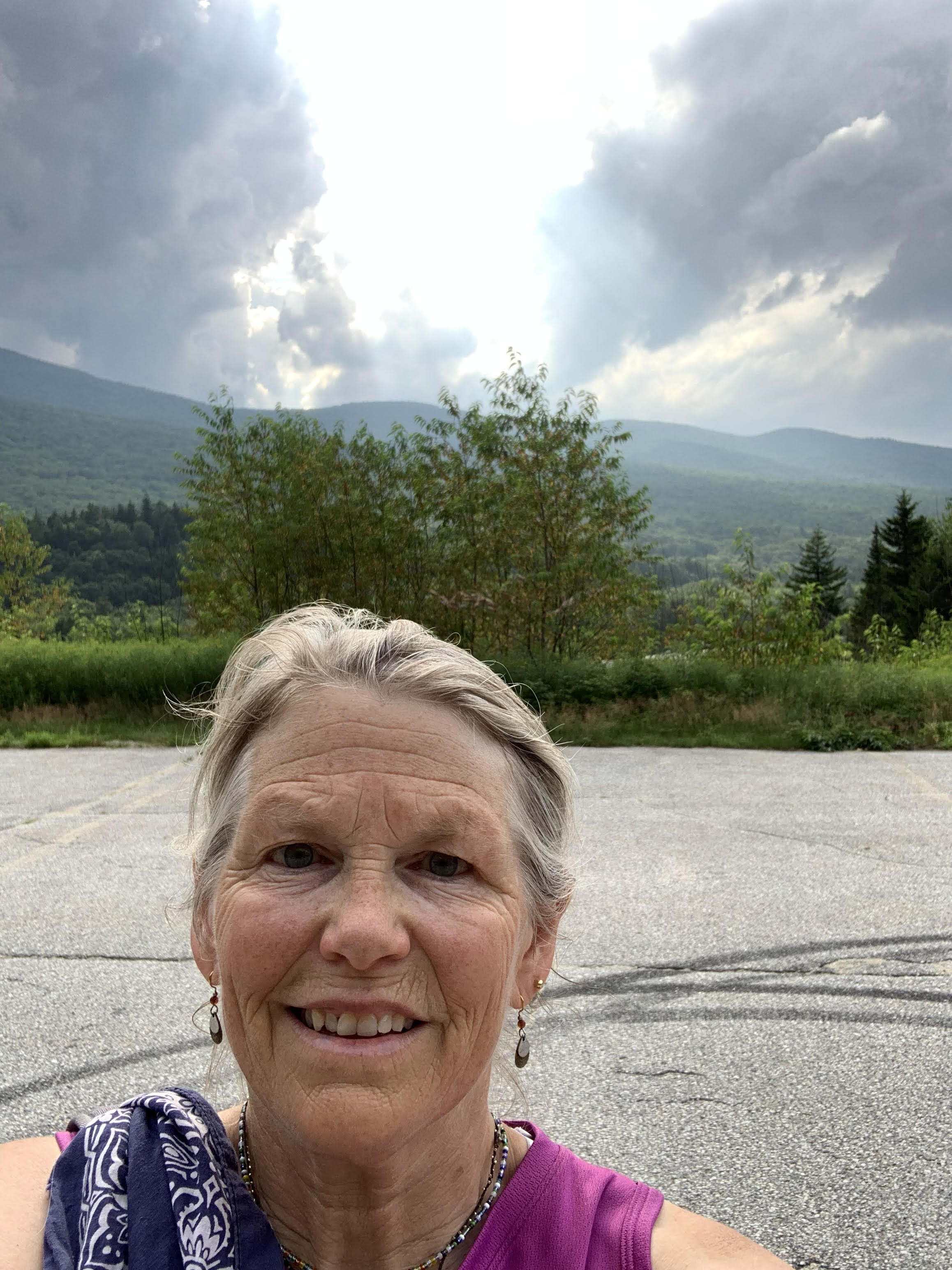
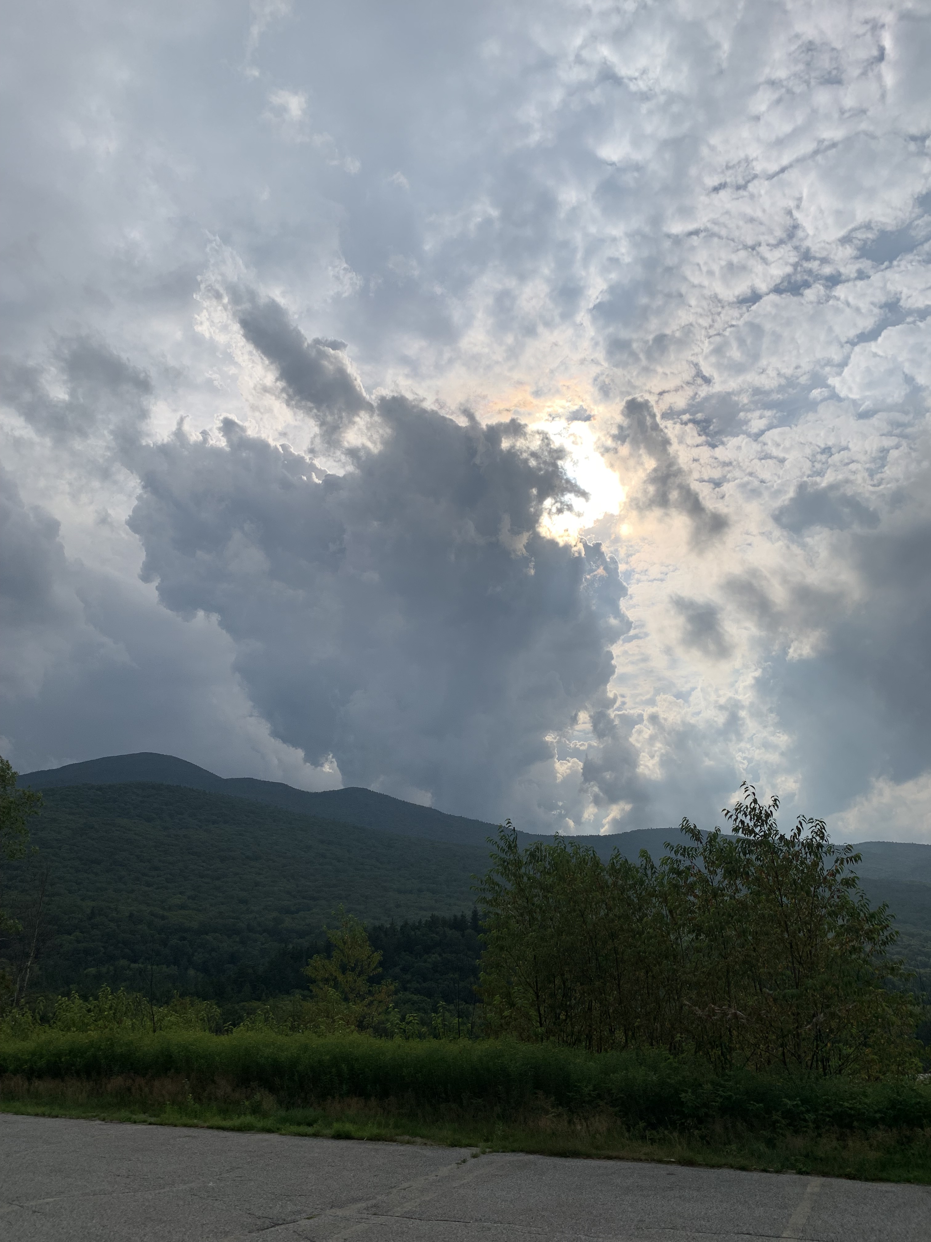
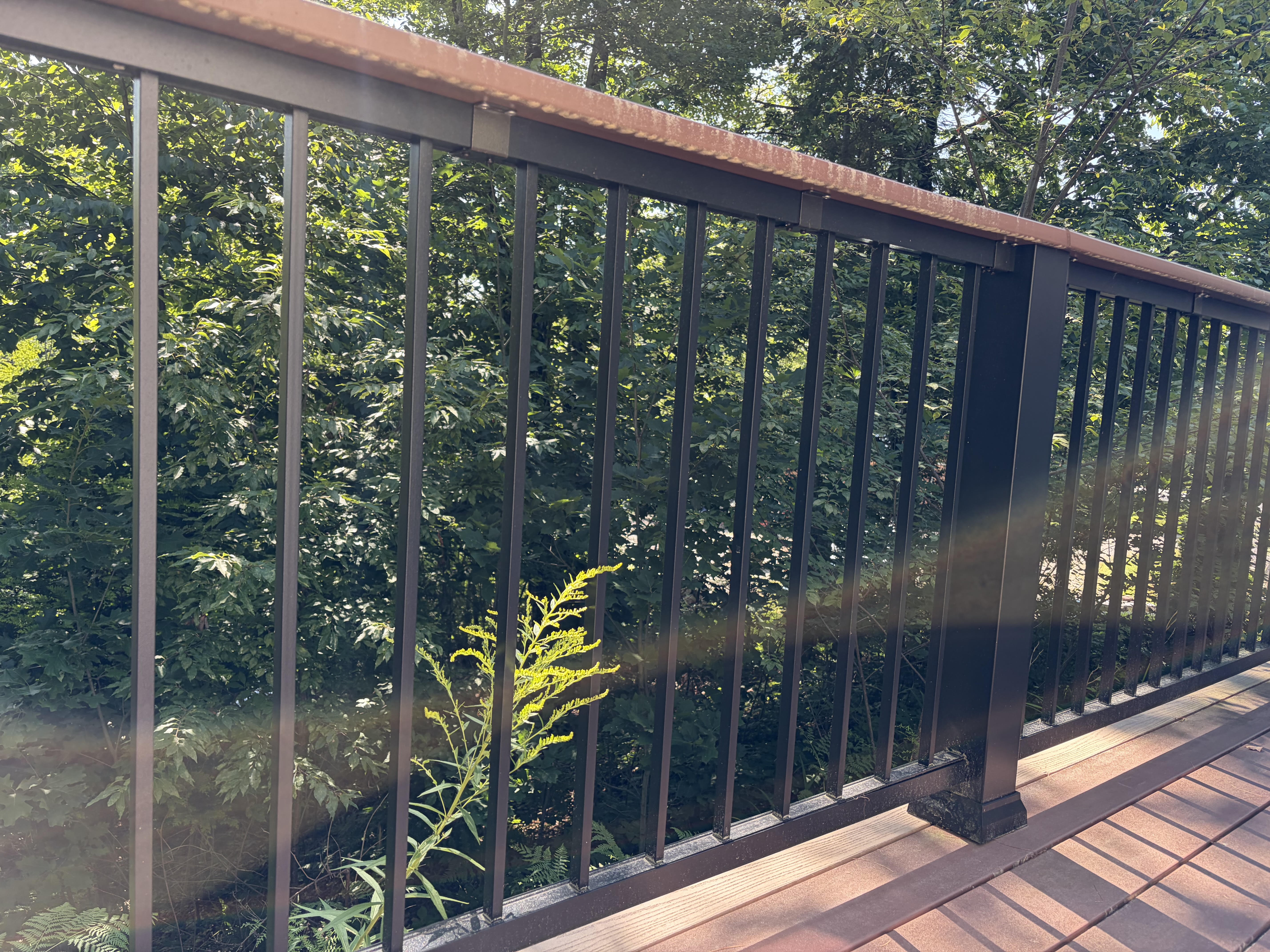
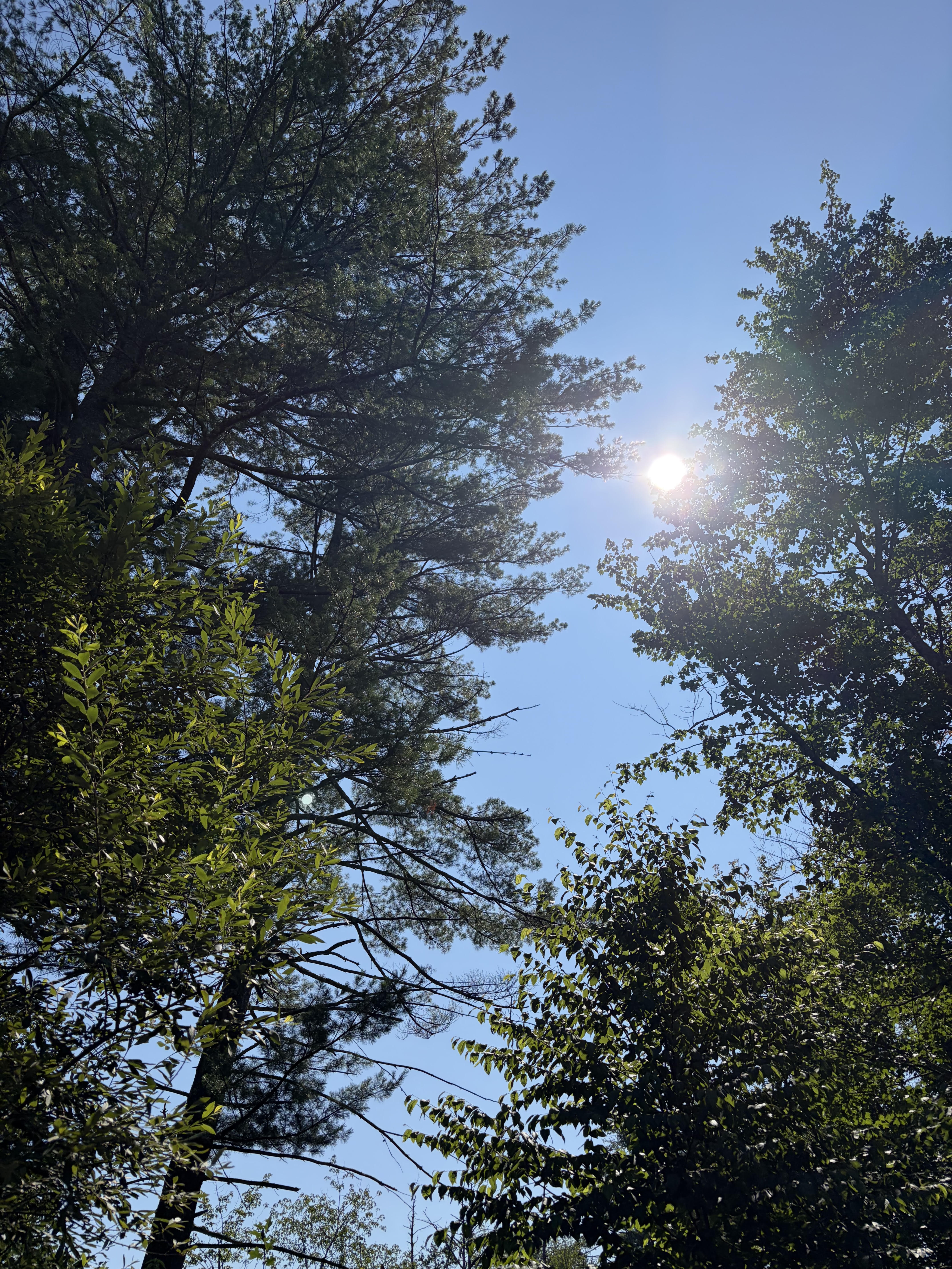
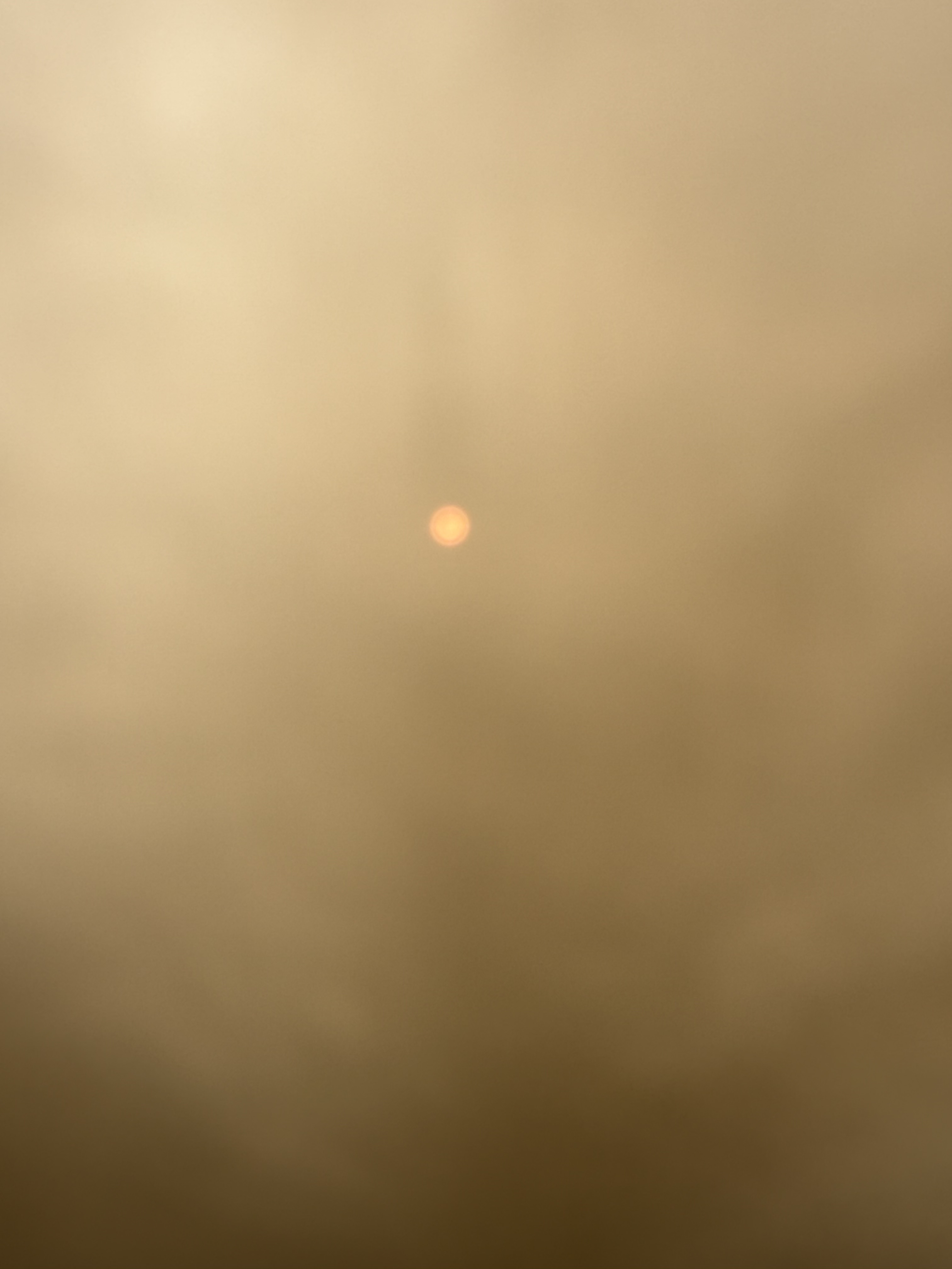
When I finally drift outside, stand by porch rail, the wildfire sky is pink, pulsing as if alive. It’s a wonder, despite the source.
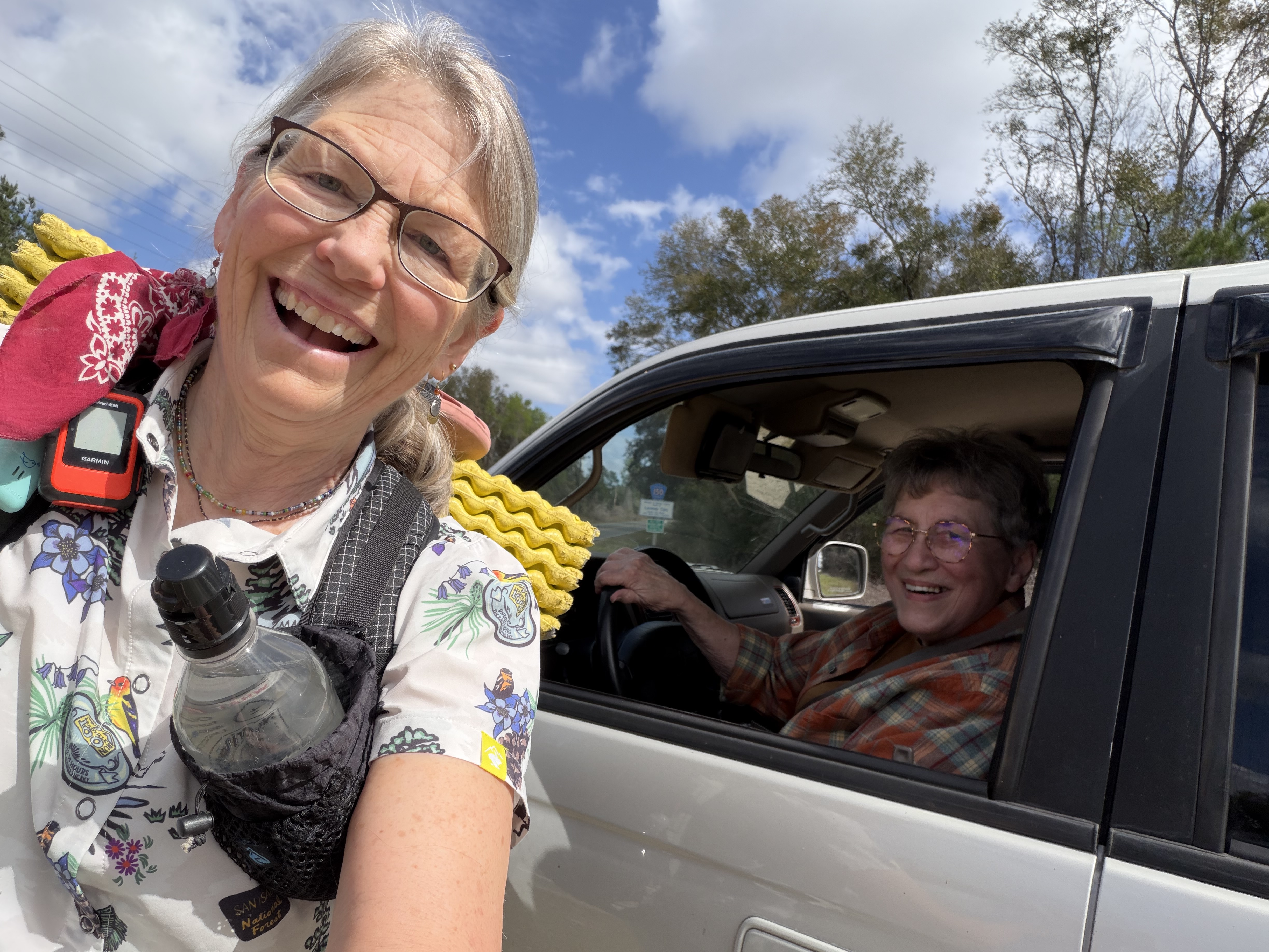
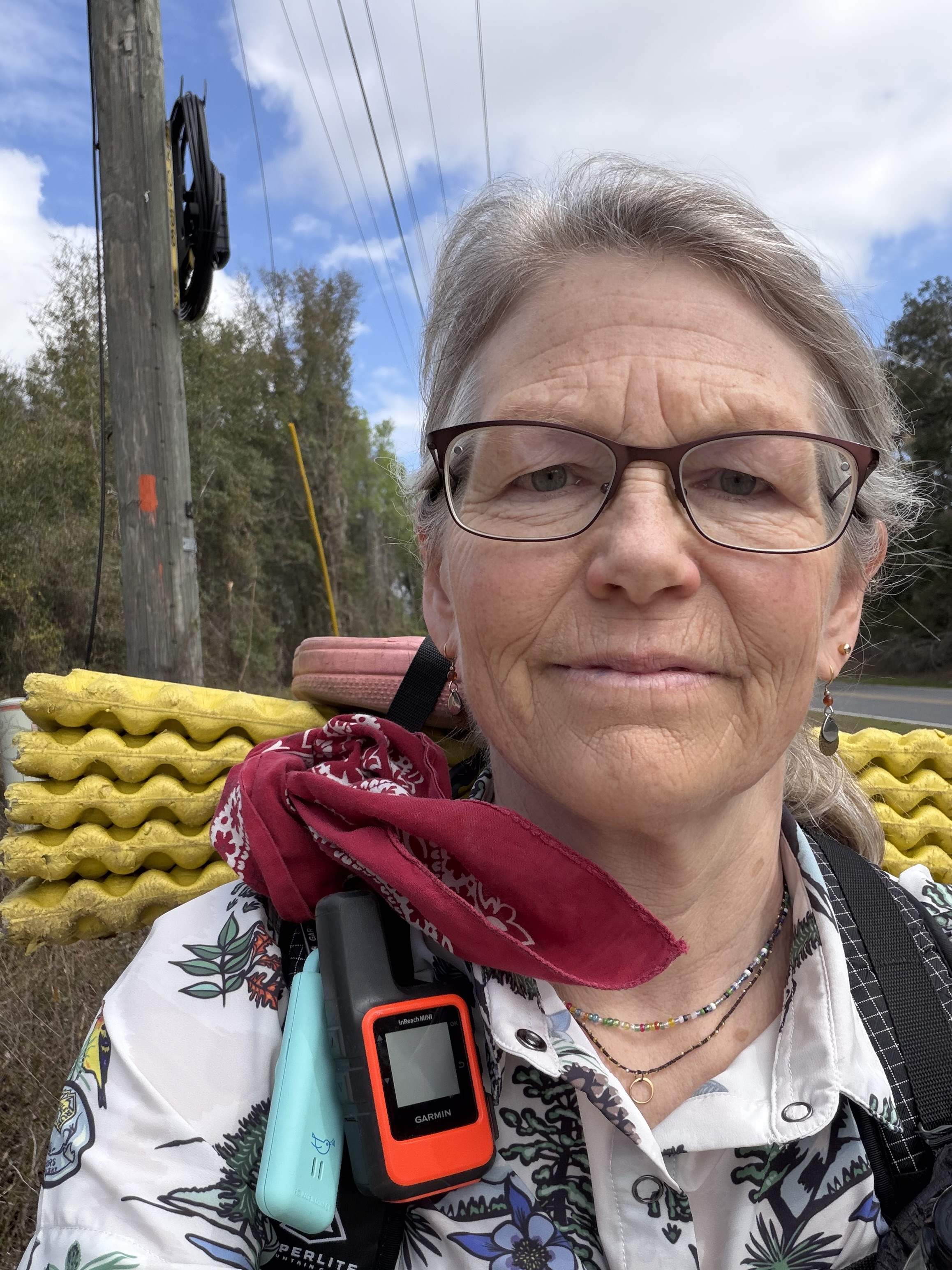
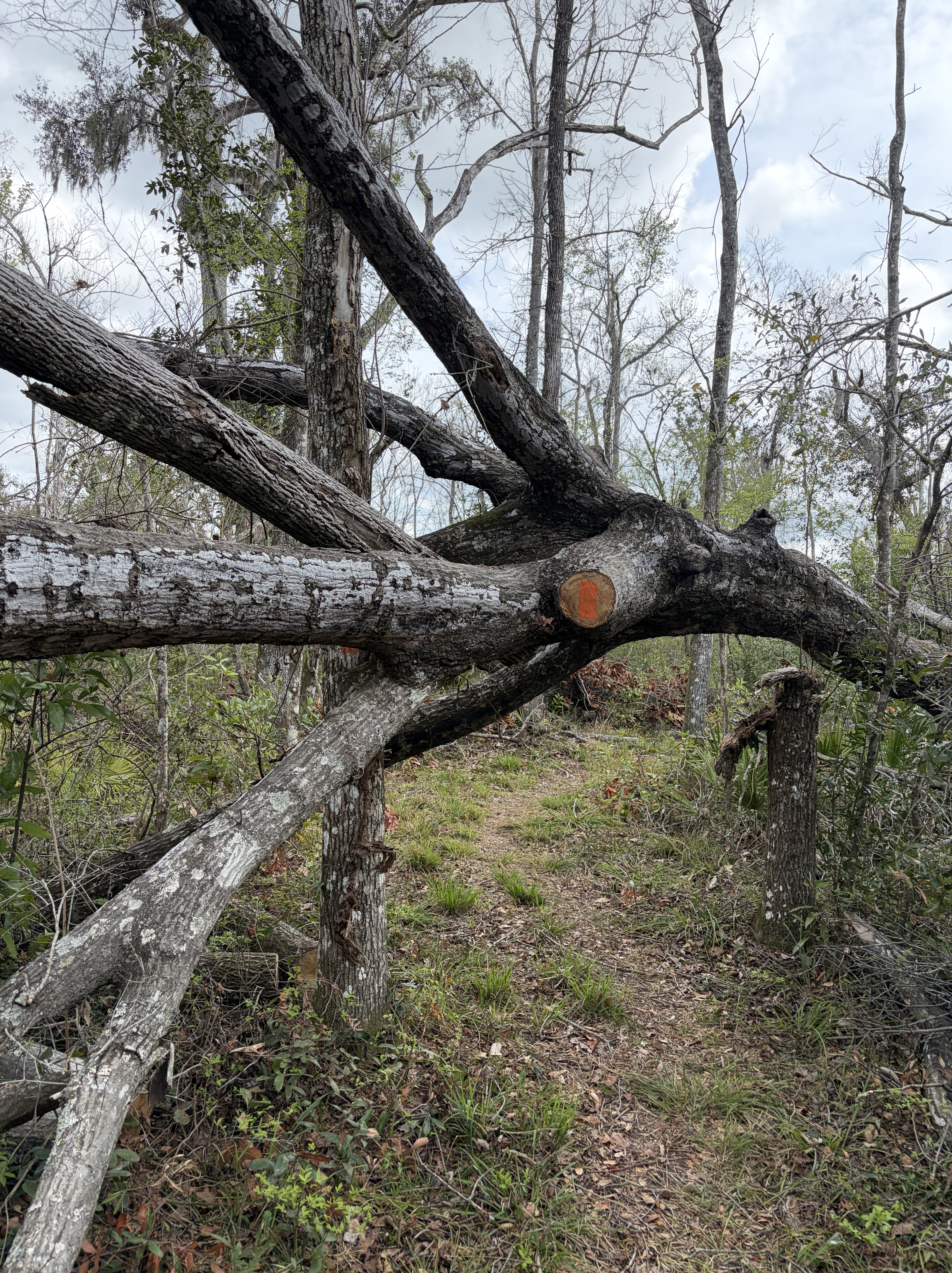
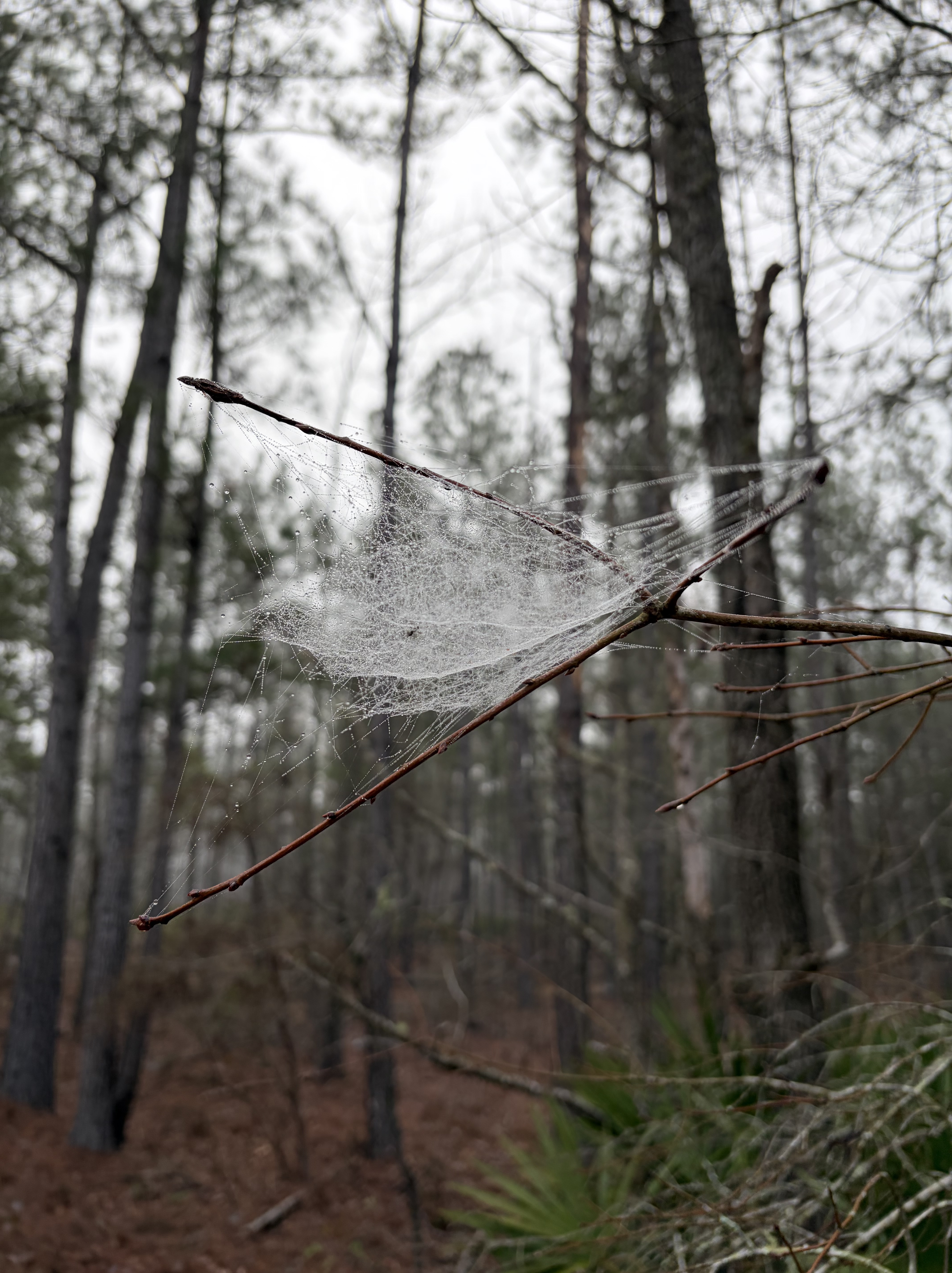
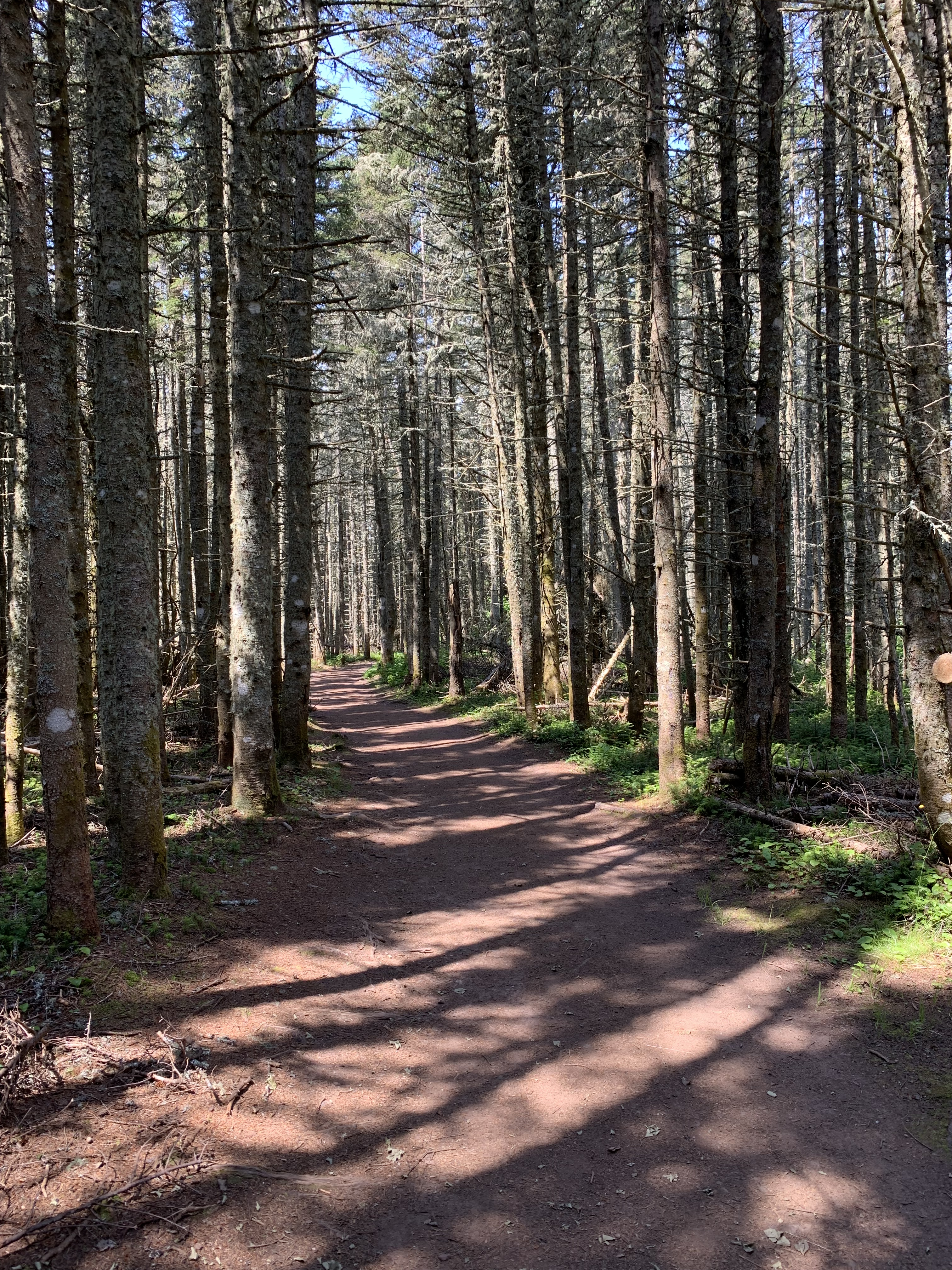
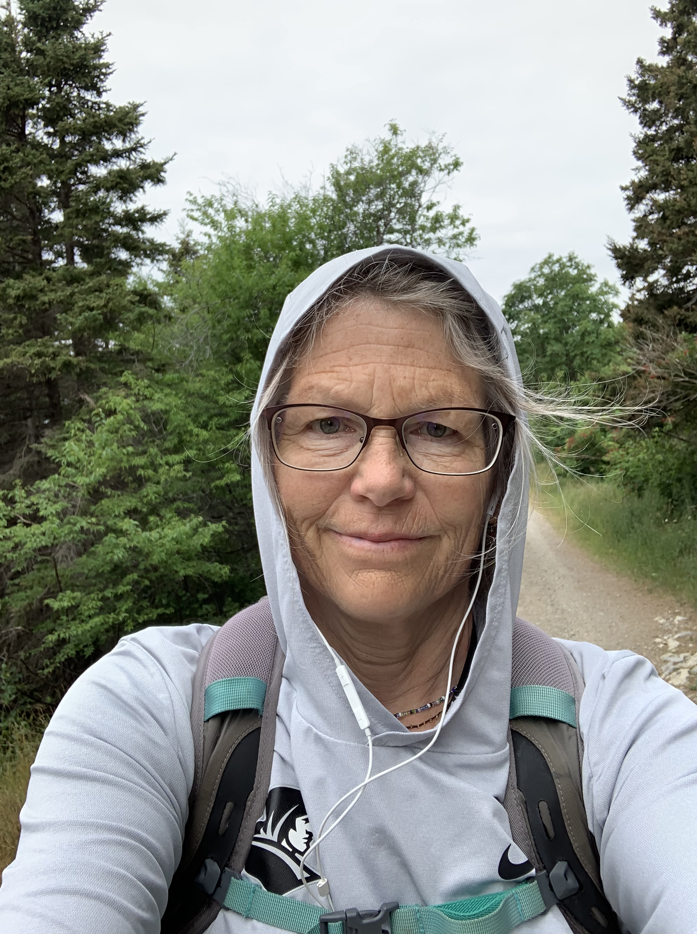
I’ve had lots of time to think, recently; not the moving-over-rock-and-root kind of thinking, the kind I love and miss; but anchored, centered introspection about where I am and why and how.
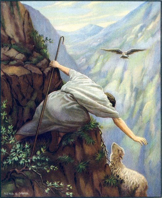
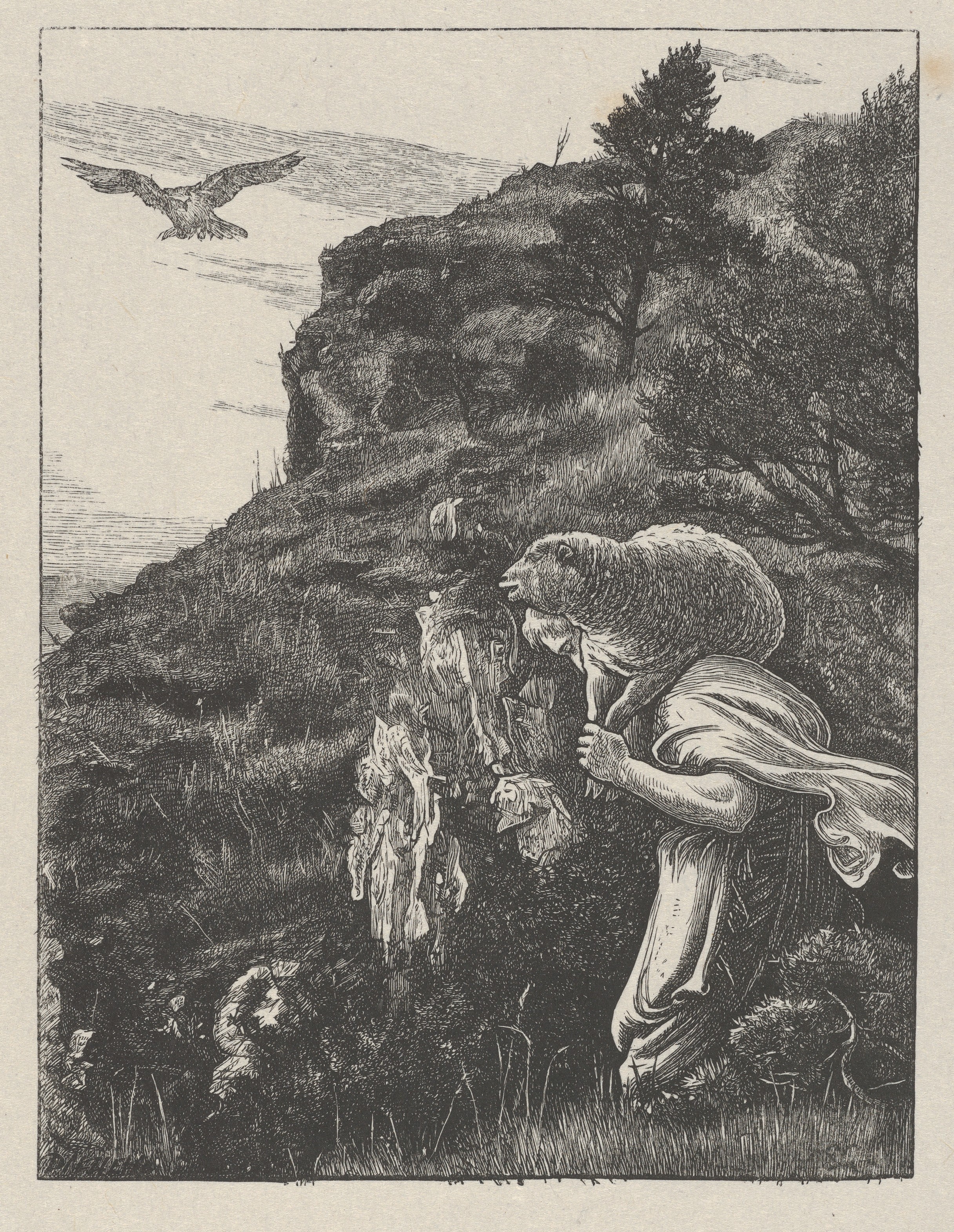
There’s a story in the Bible about a woman who has been bleeding for twelve years. Mark writes, she had suffered a great deal under the care of many doctors and had spent all she had, yet instead of getting better, she grew worse.
She’s been ostracized, forced away from neighbor and temple, considered unclean, untouchable. I long to talk to her, to draw close, to ask how she’s managed it for so long.
What’s your secret?
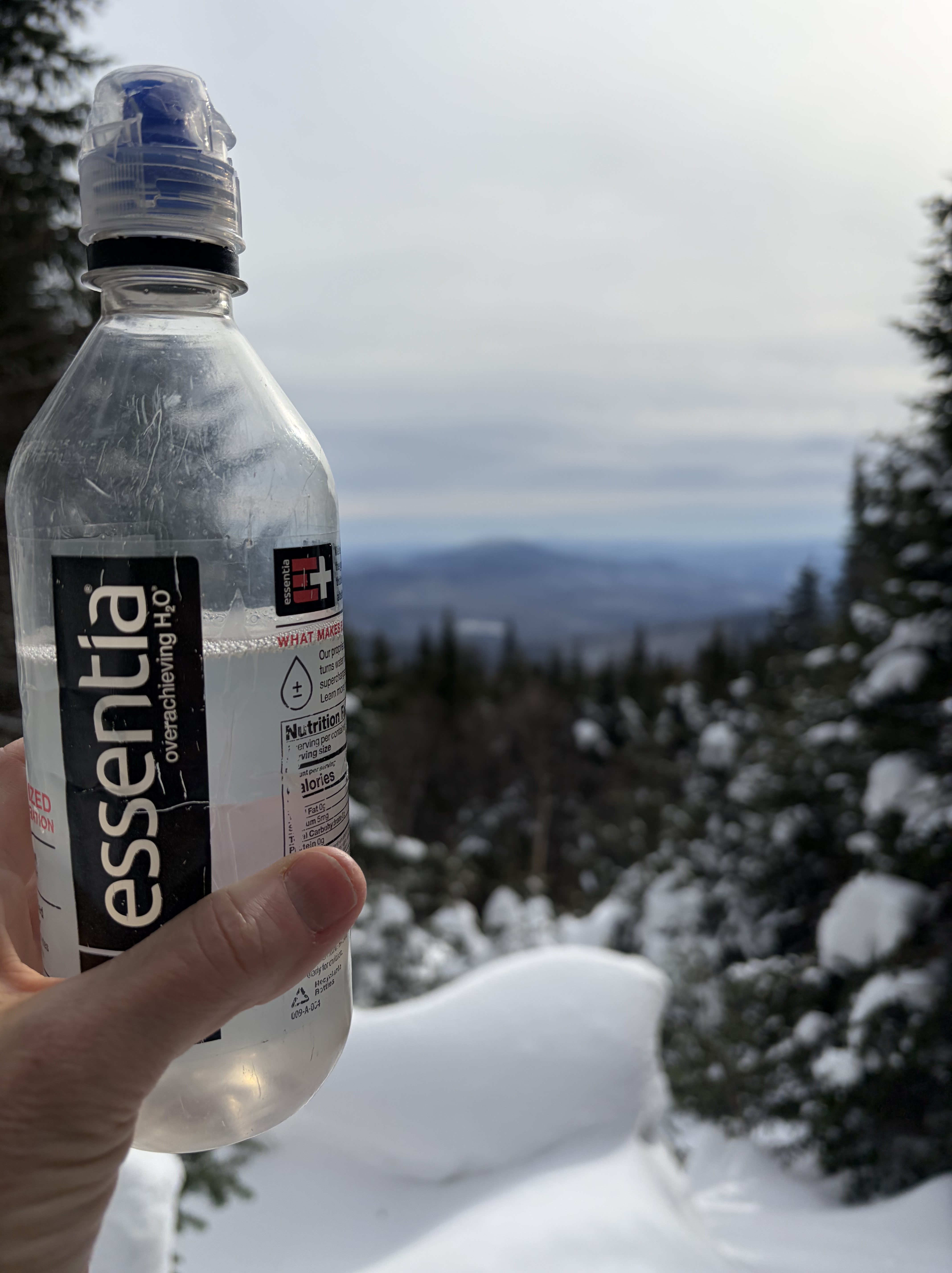
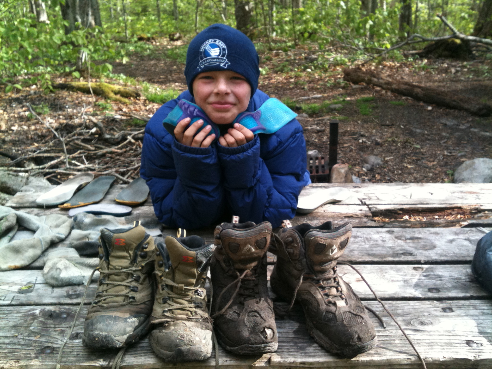
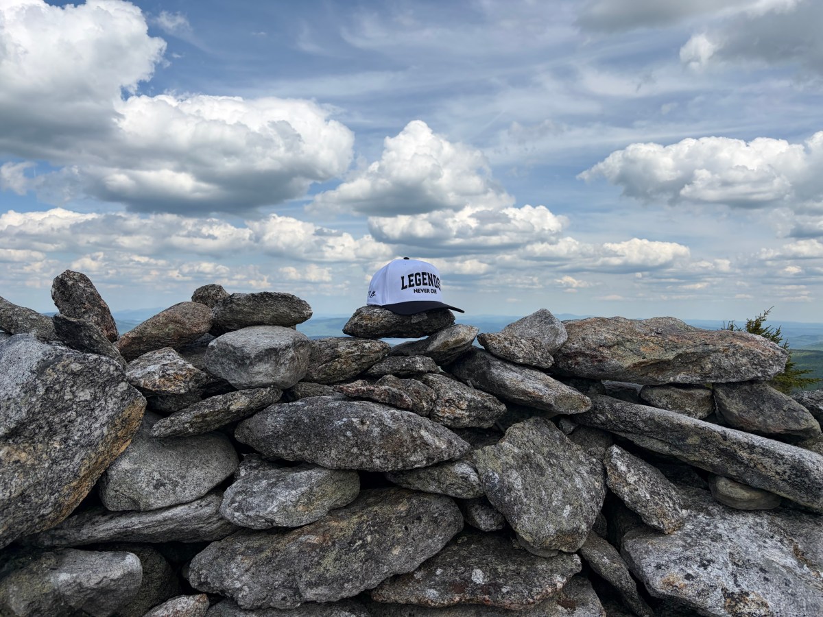
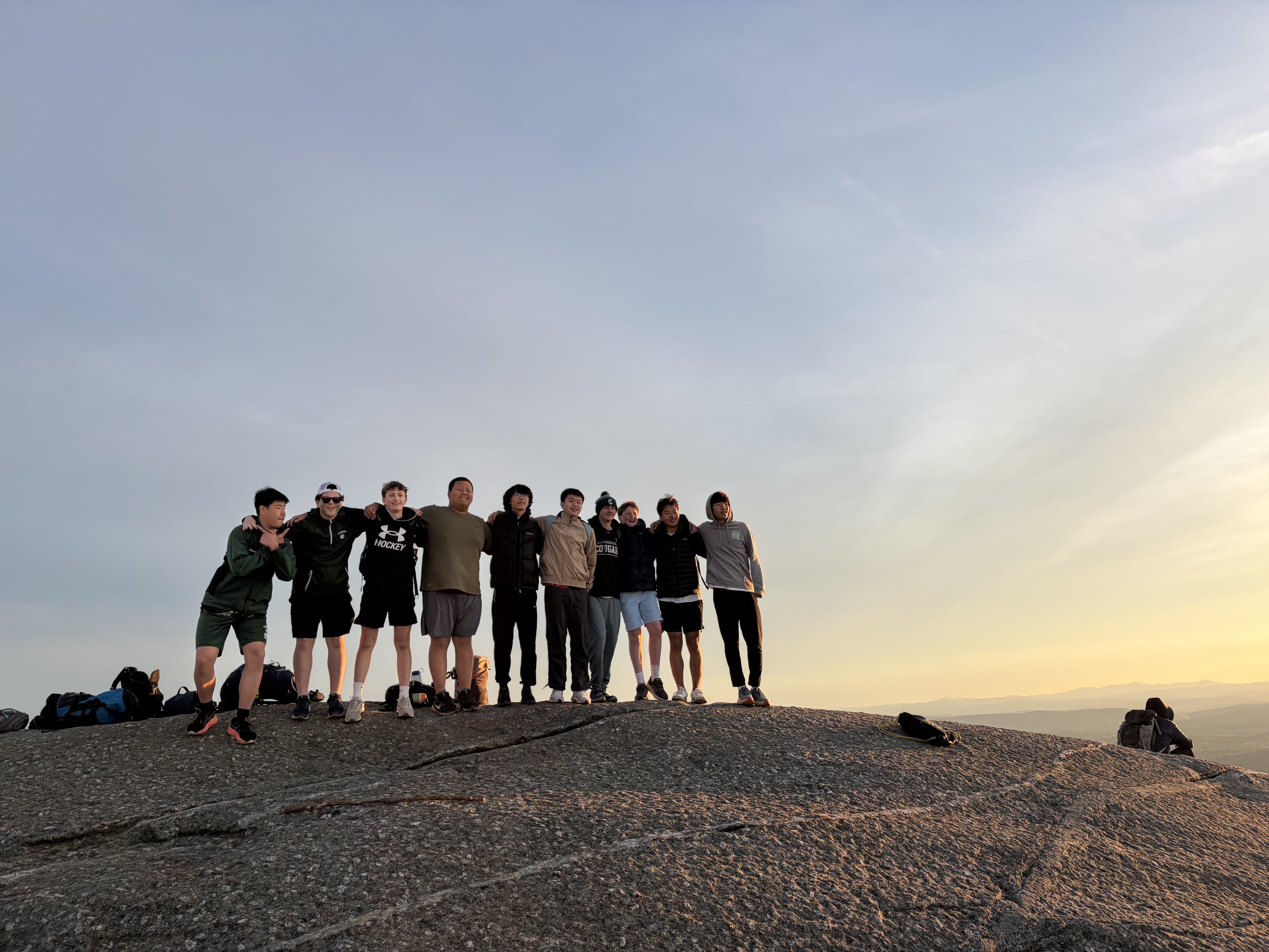
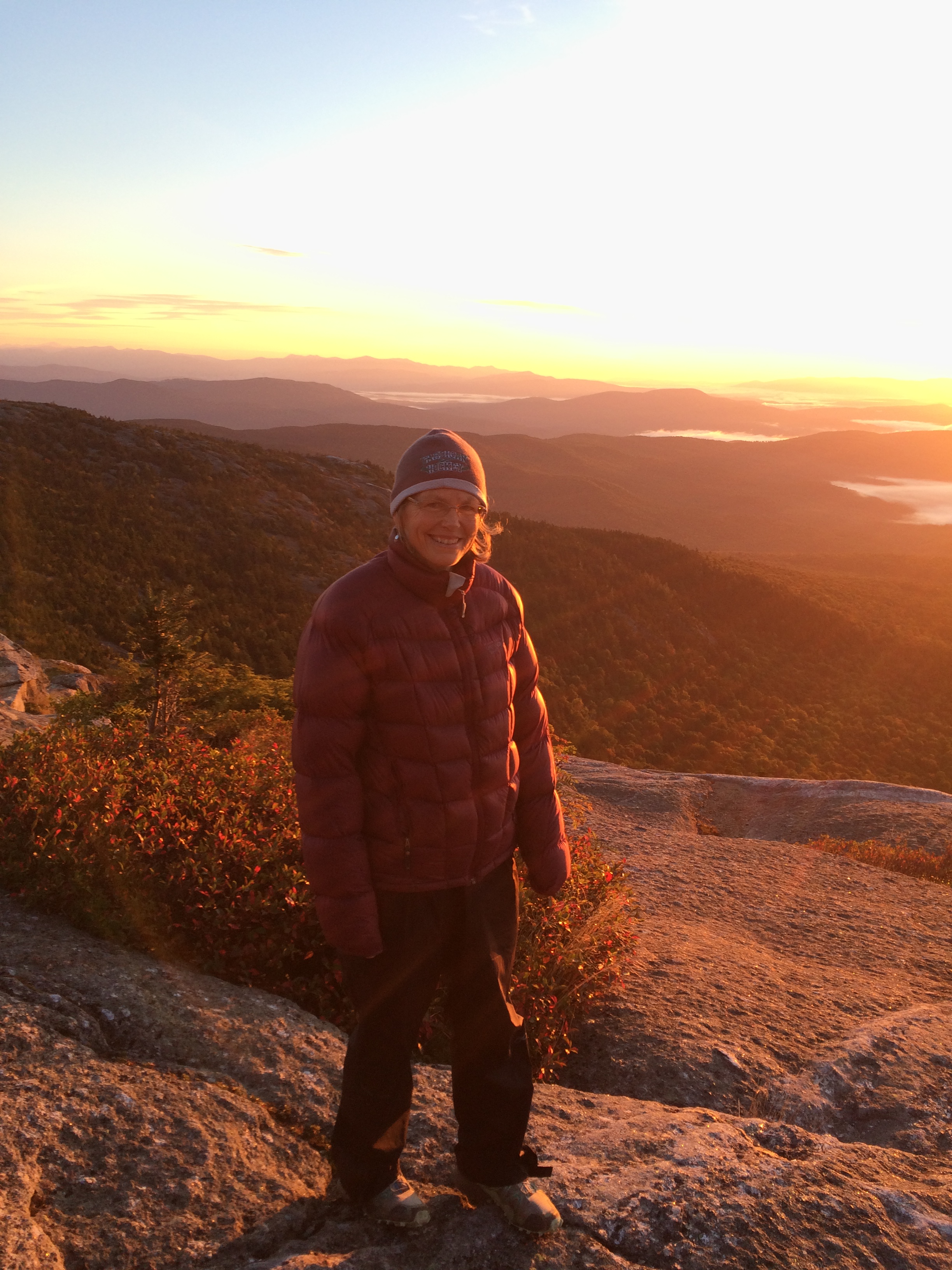
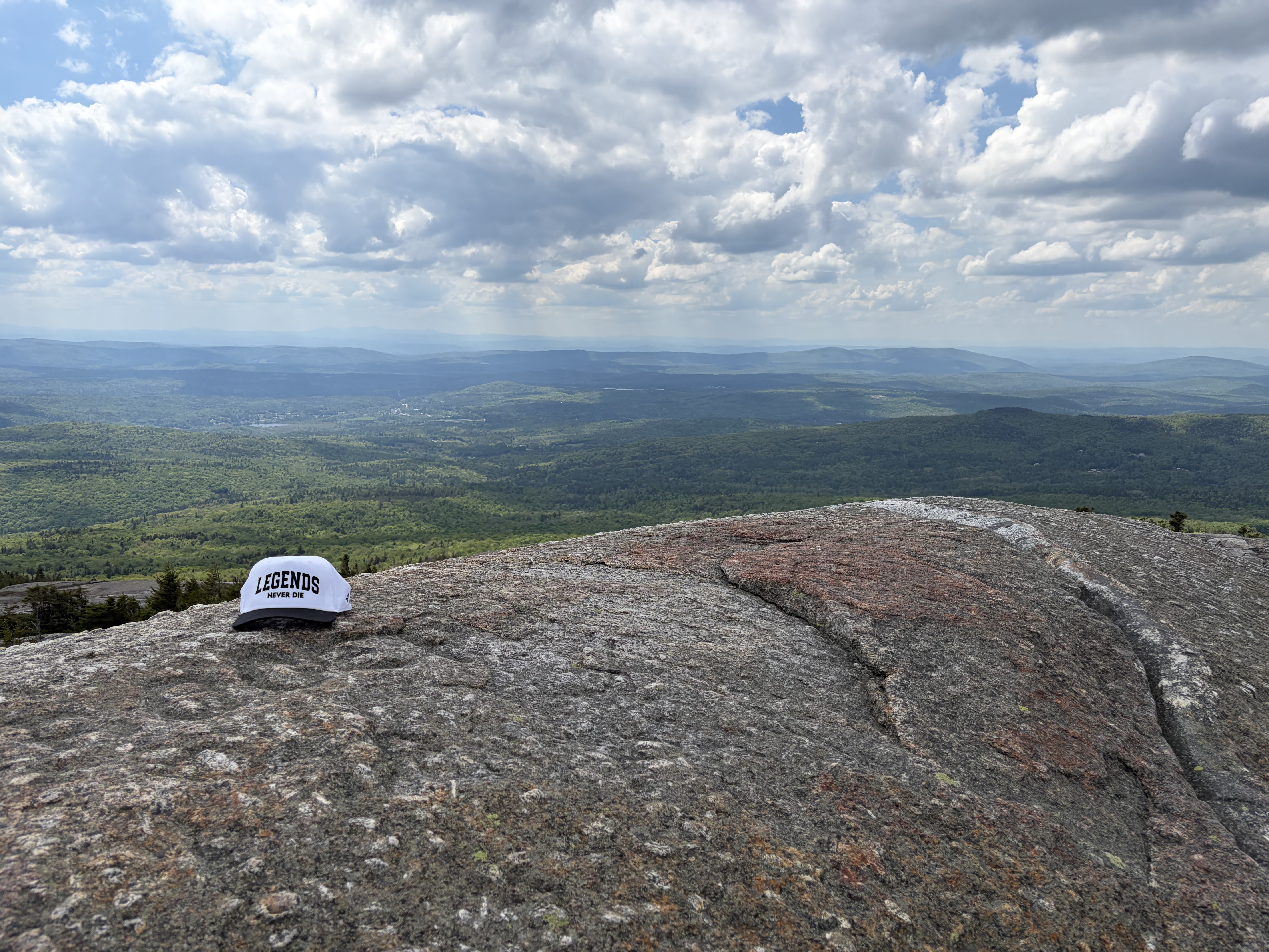
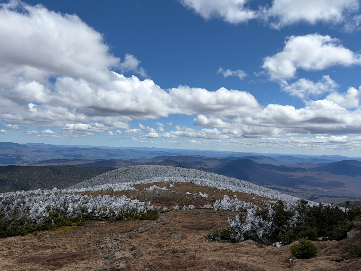
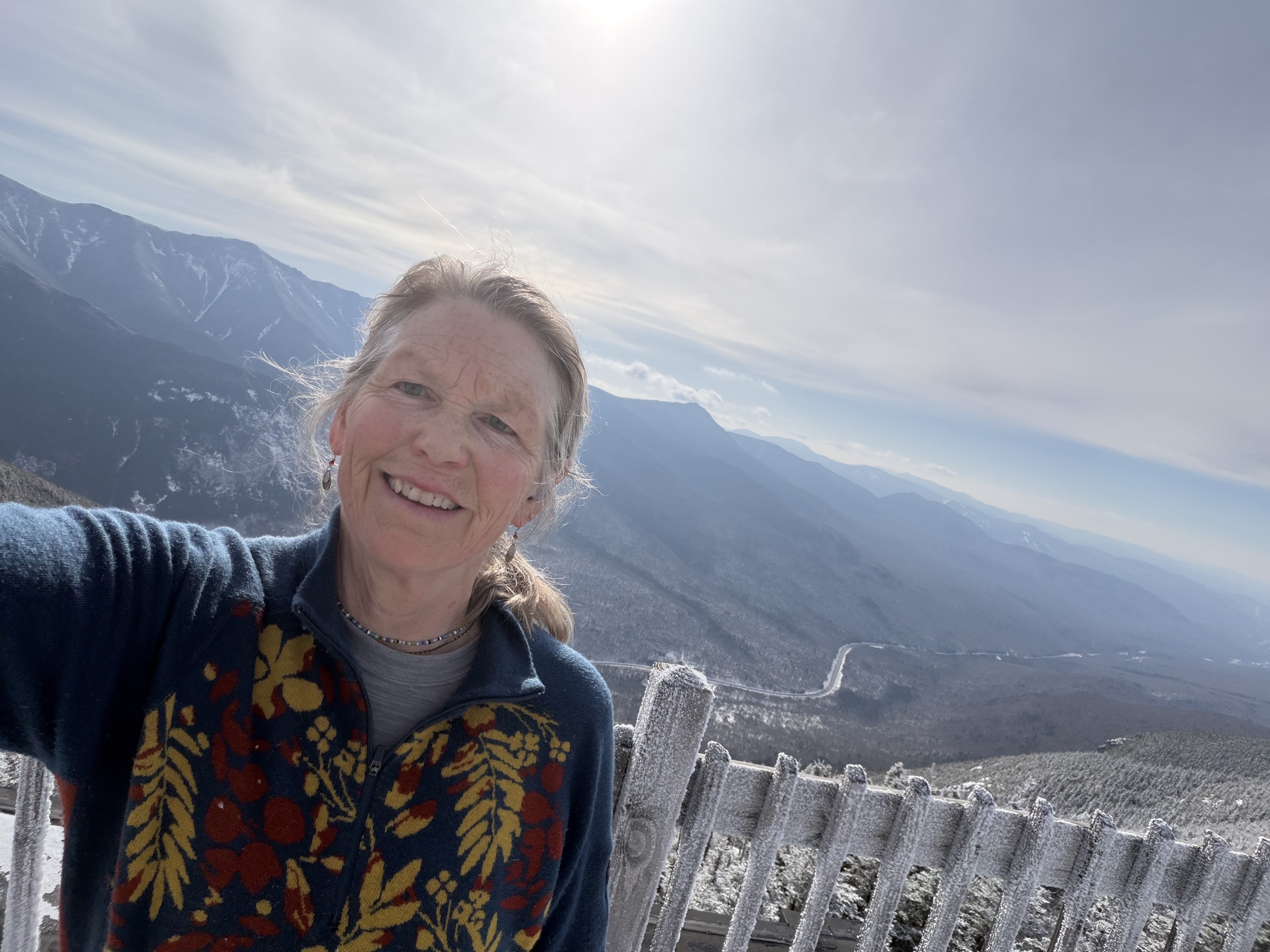
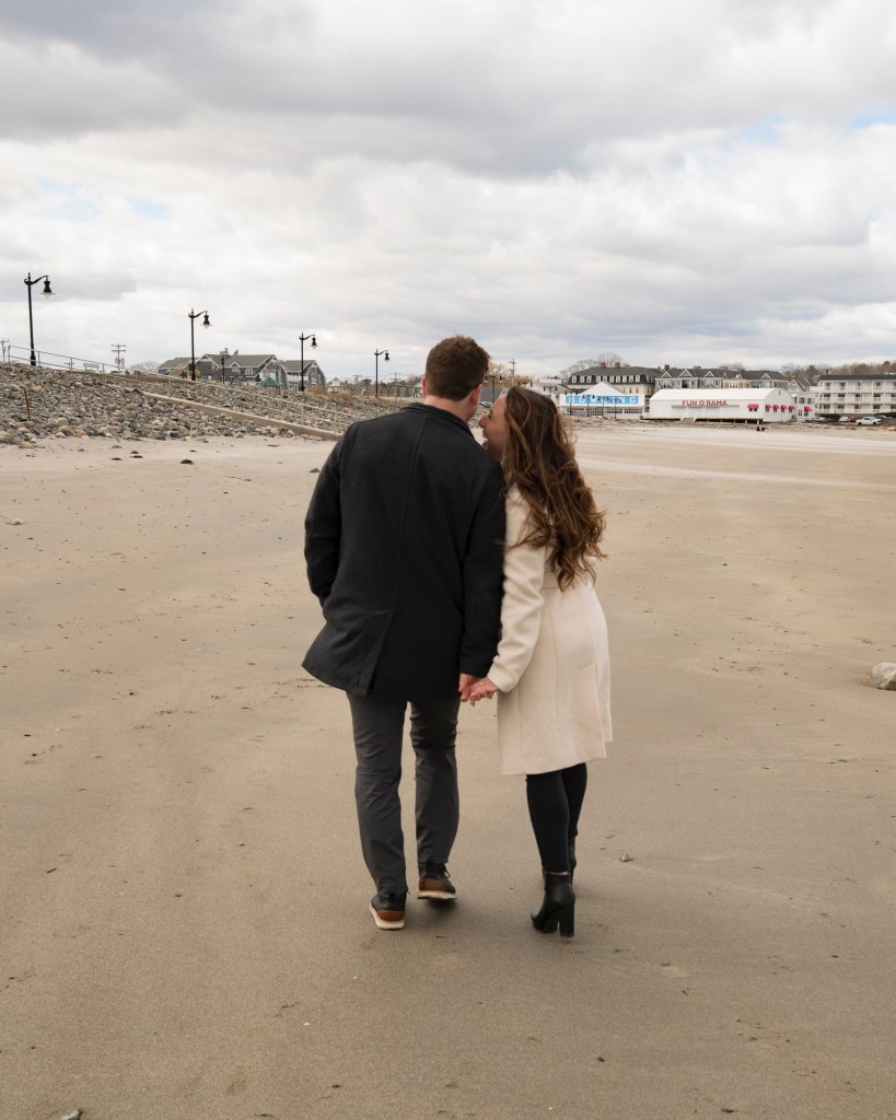
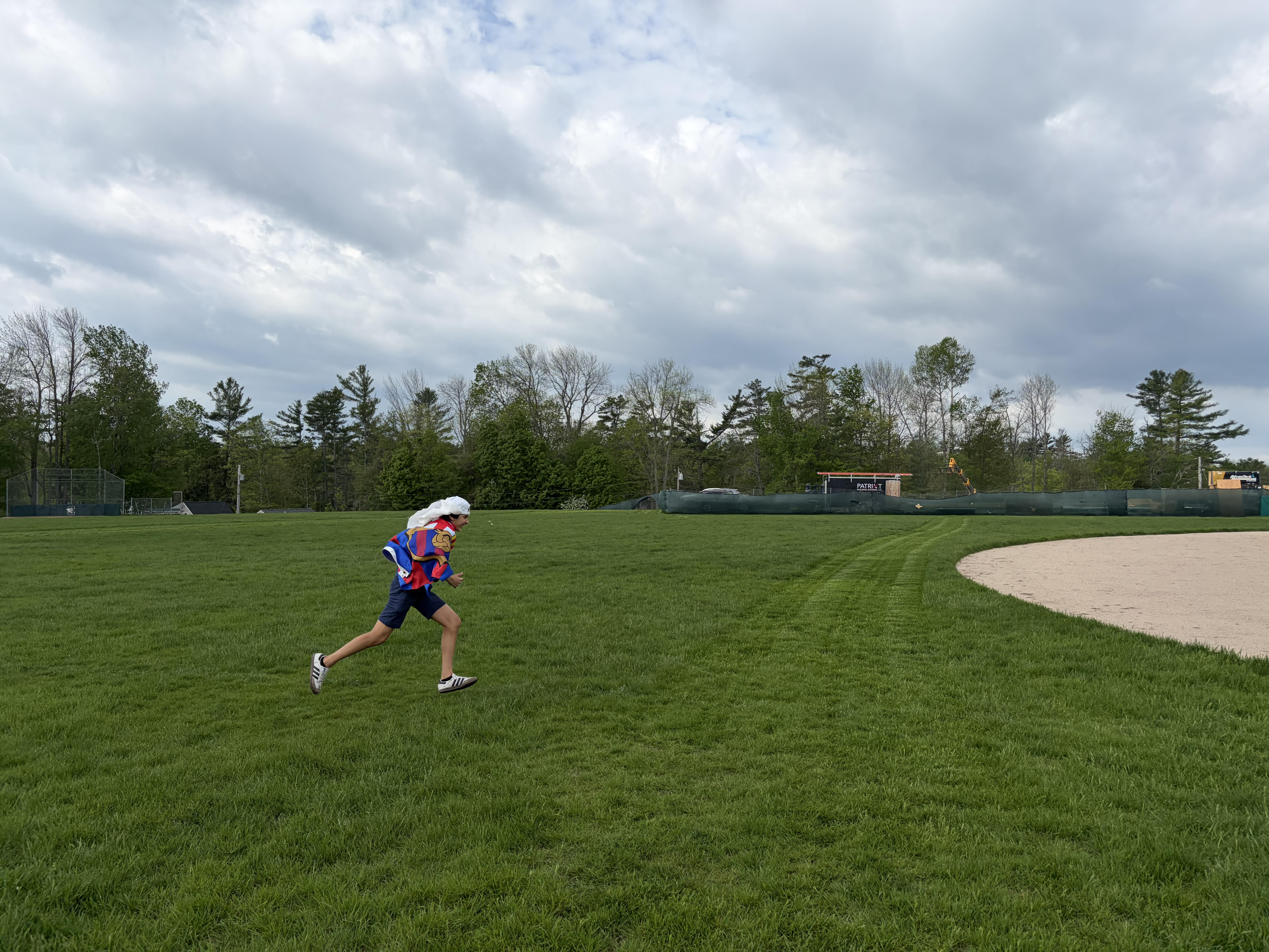
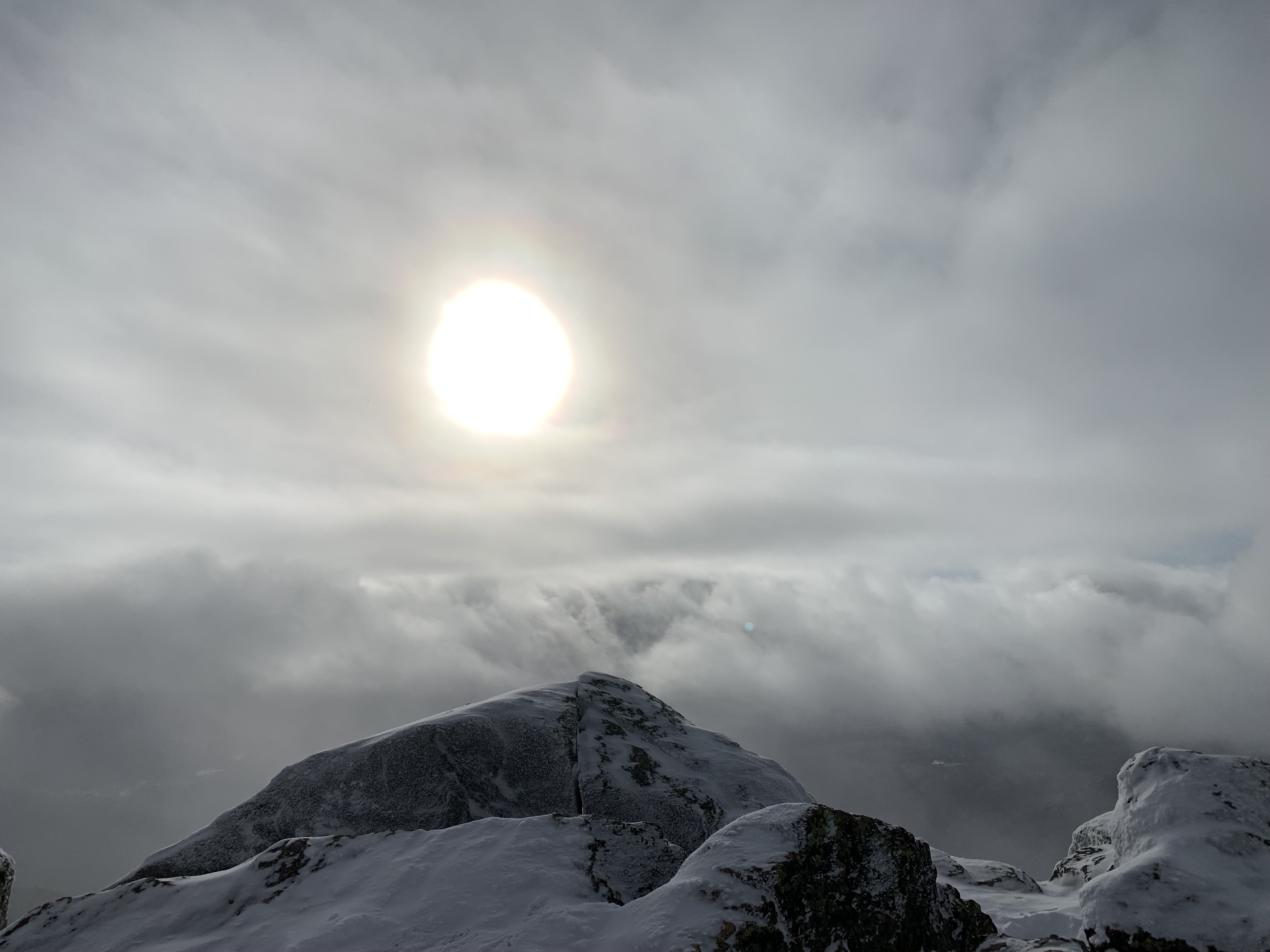
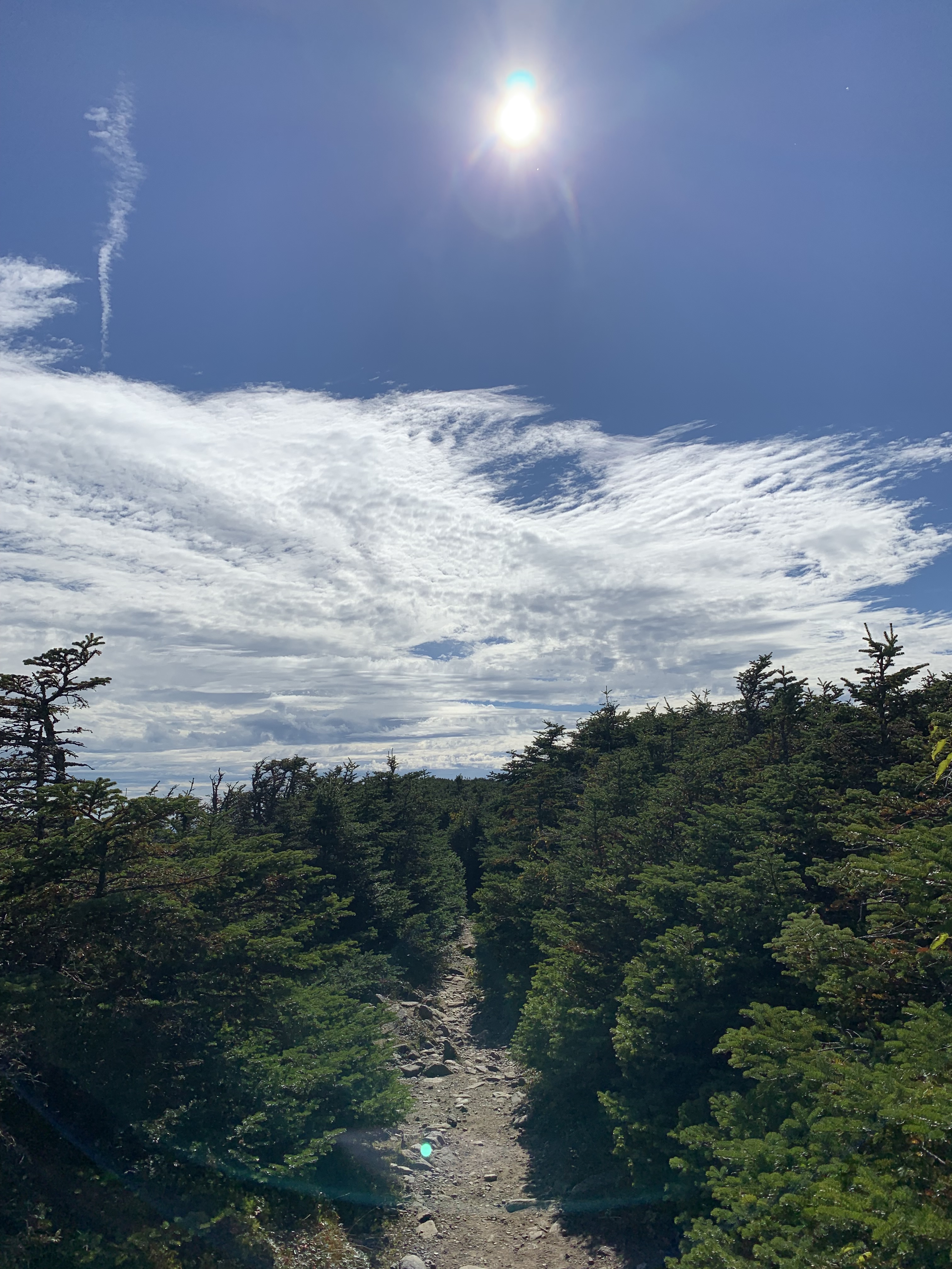
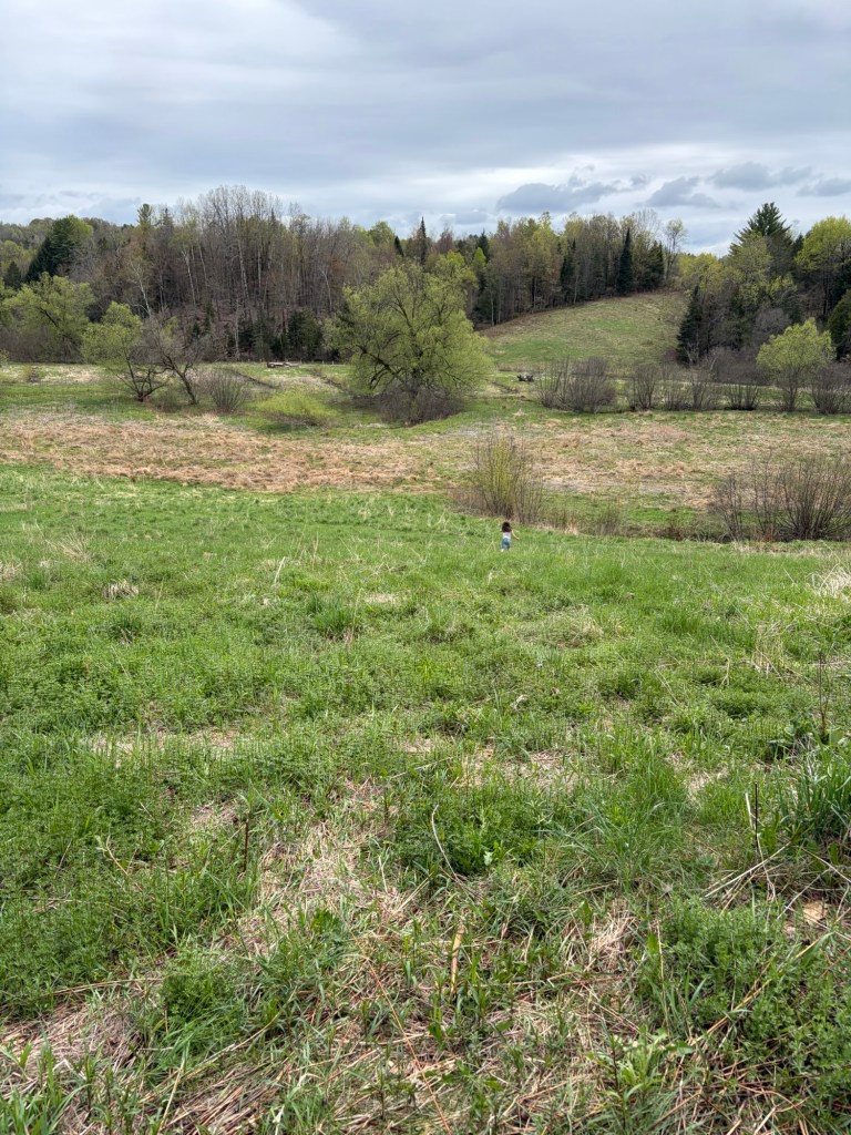
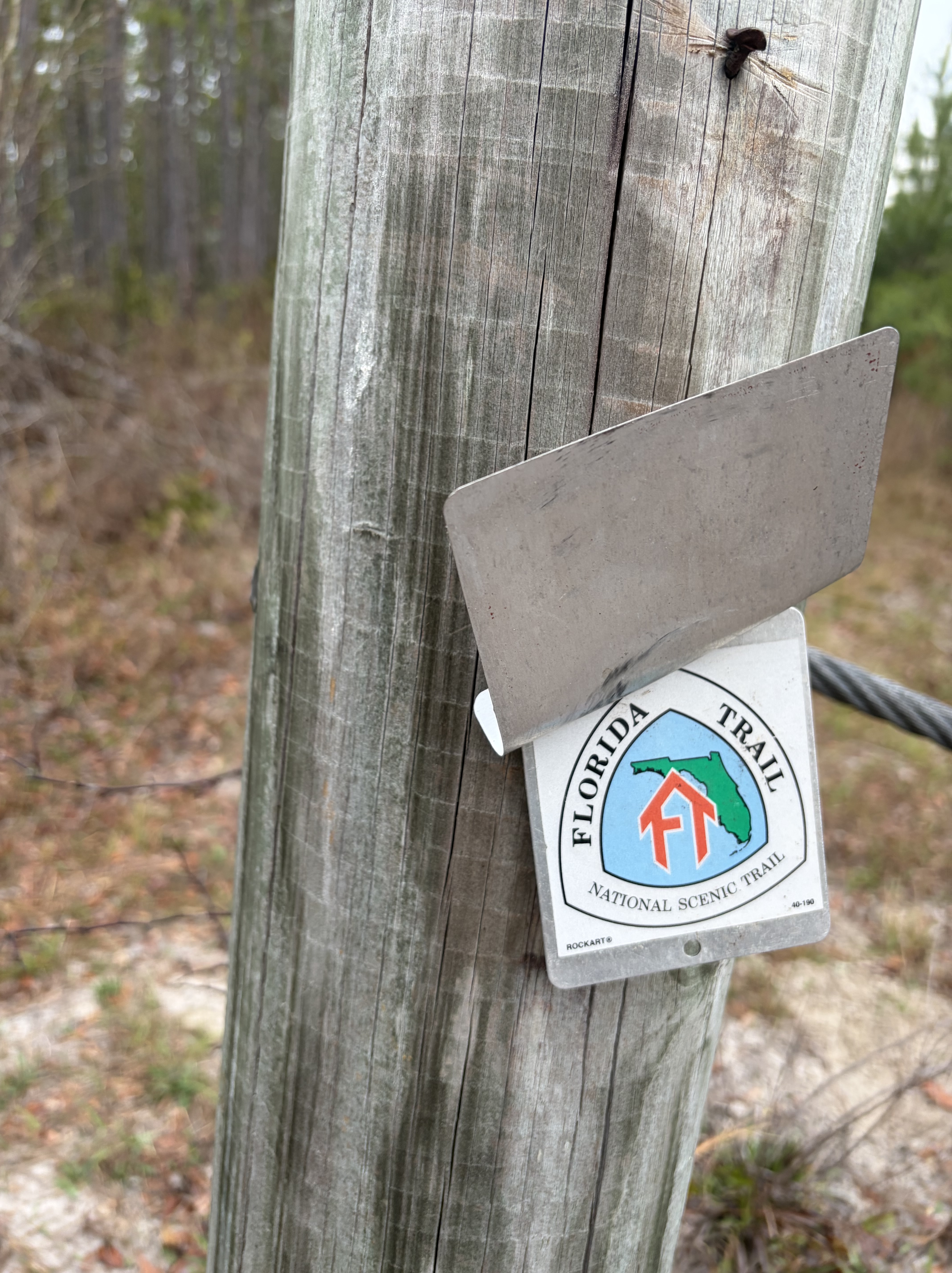
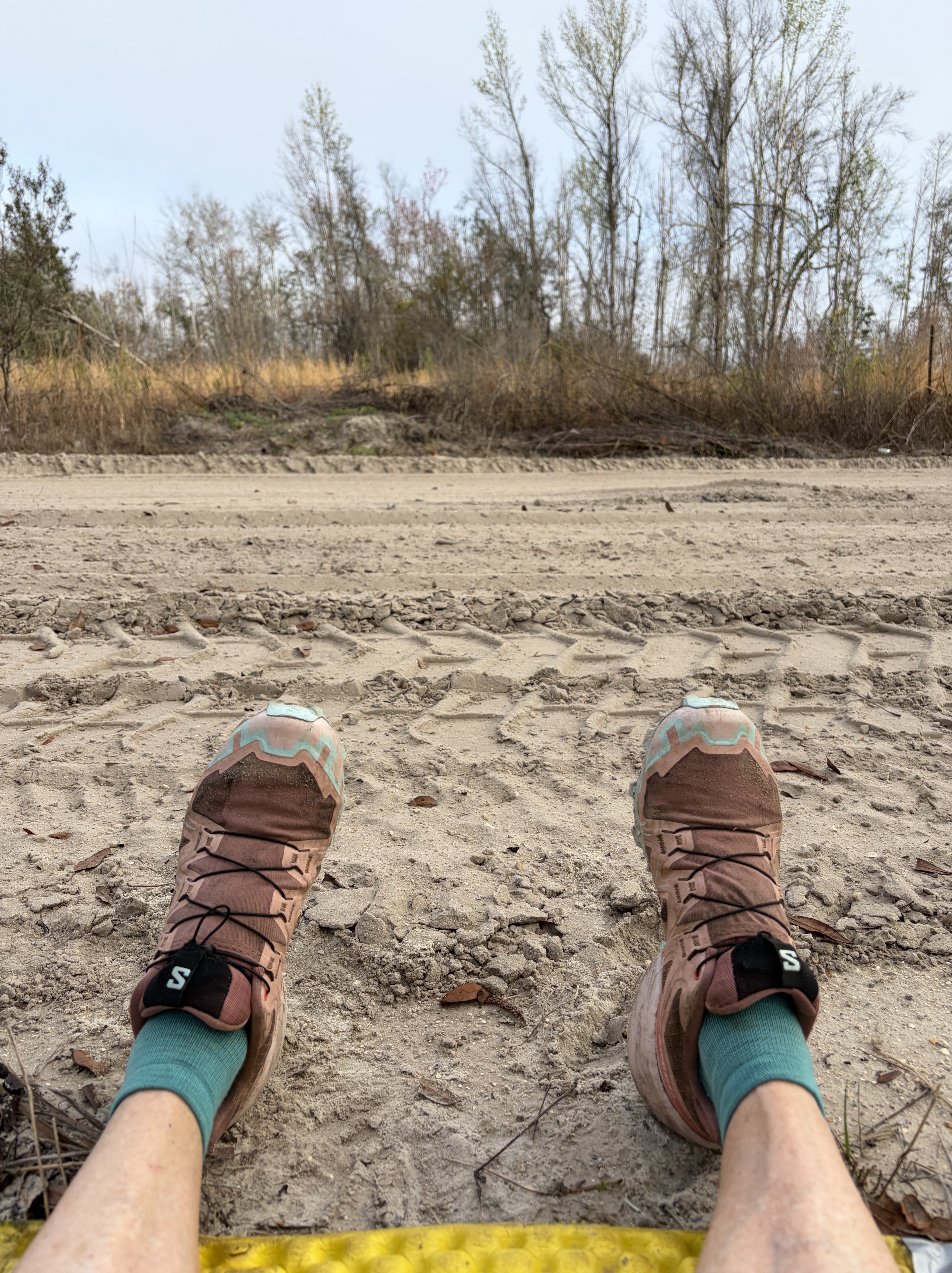
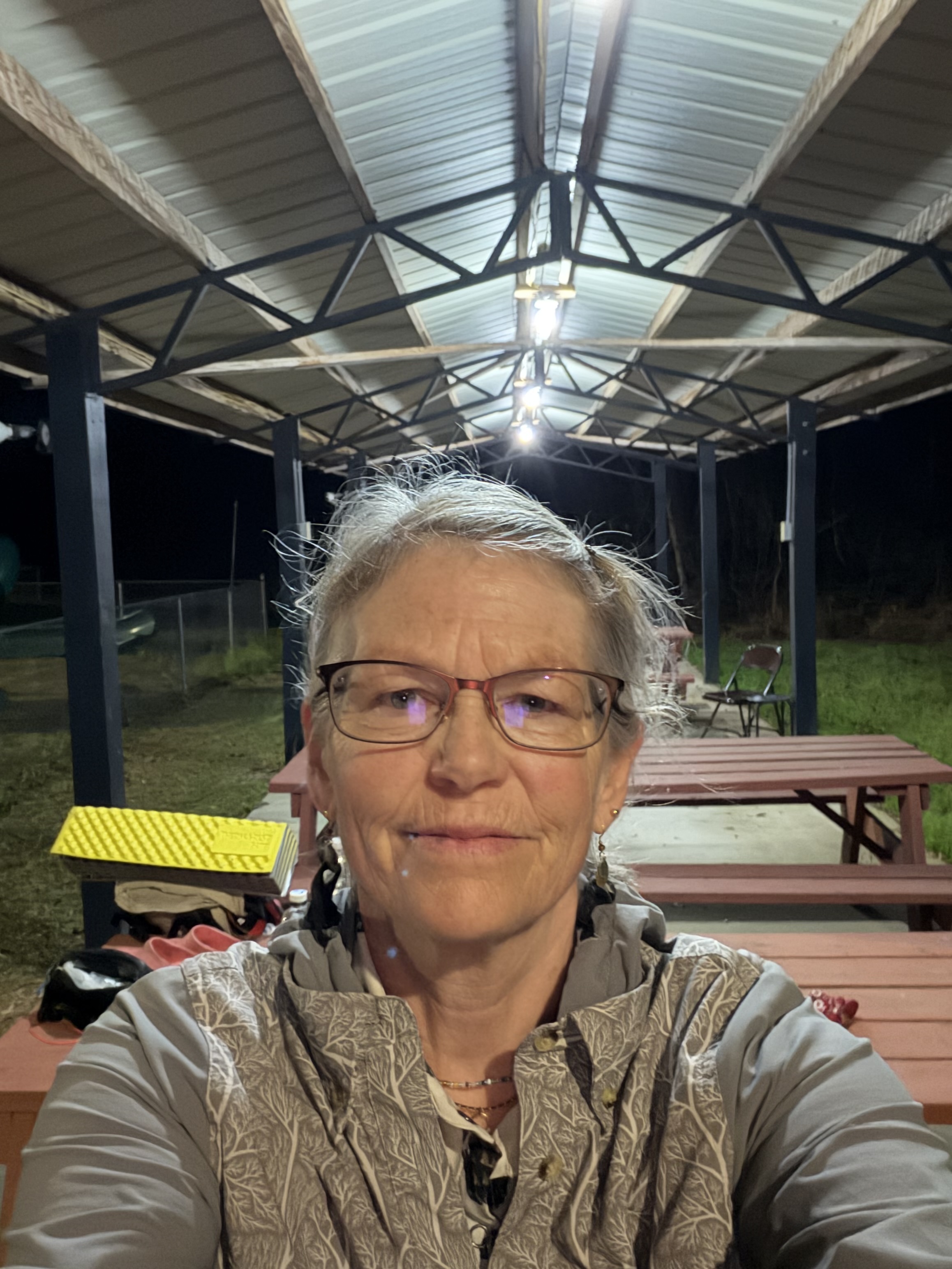
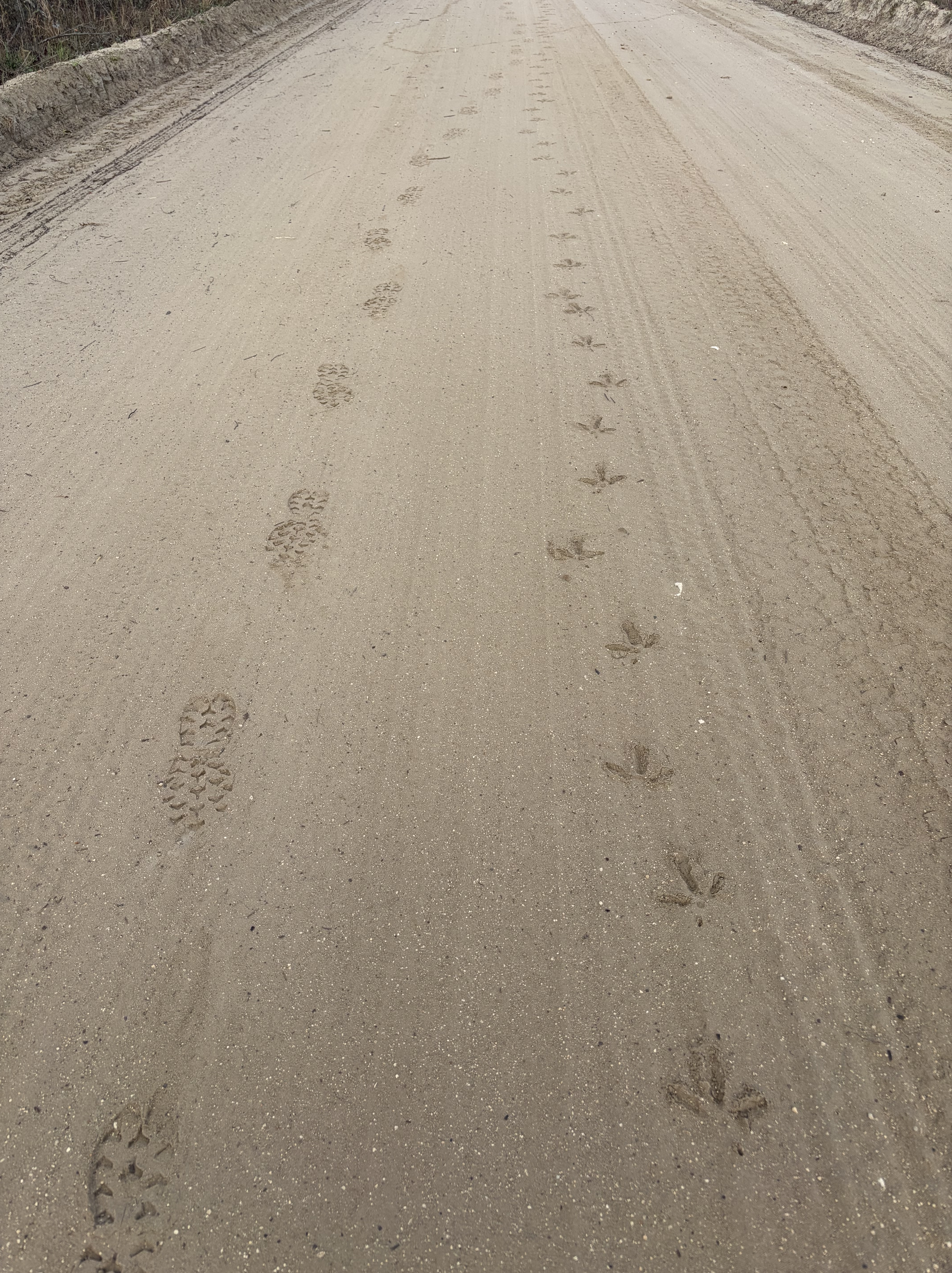
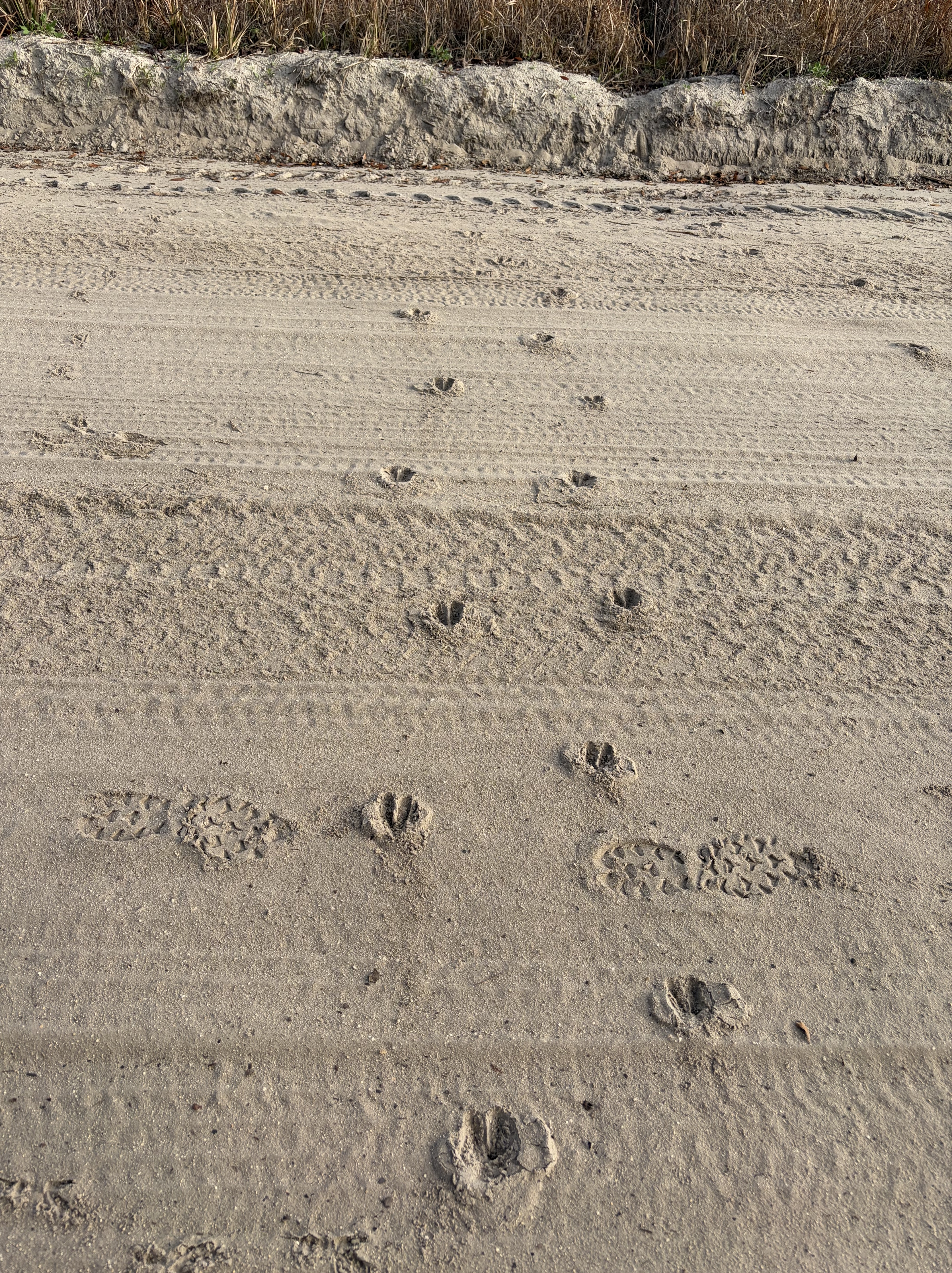
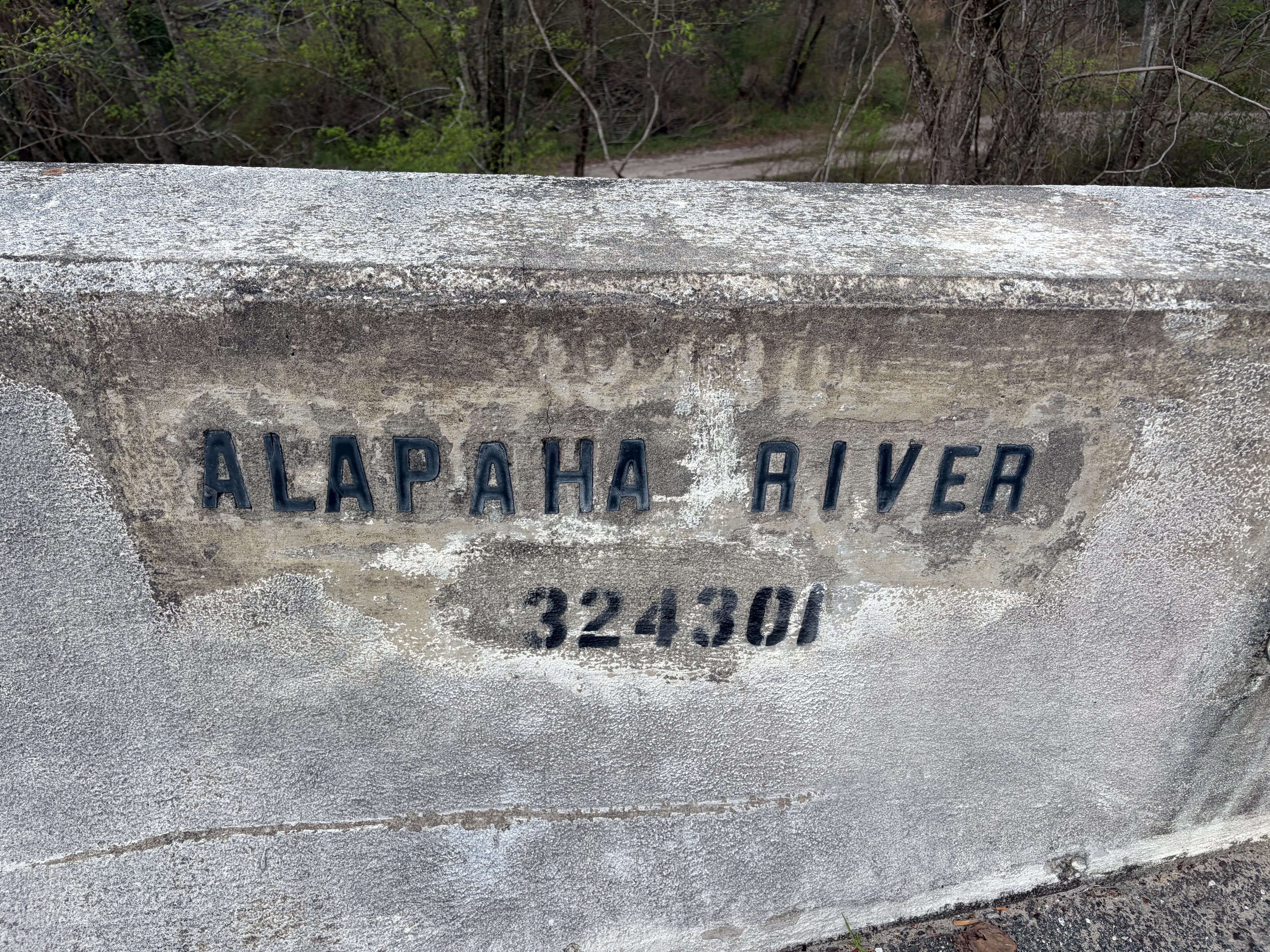
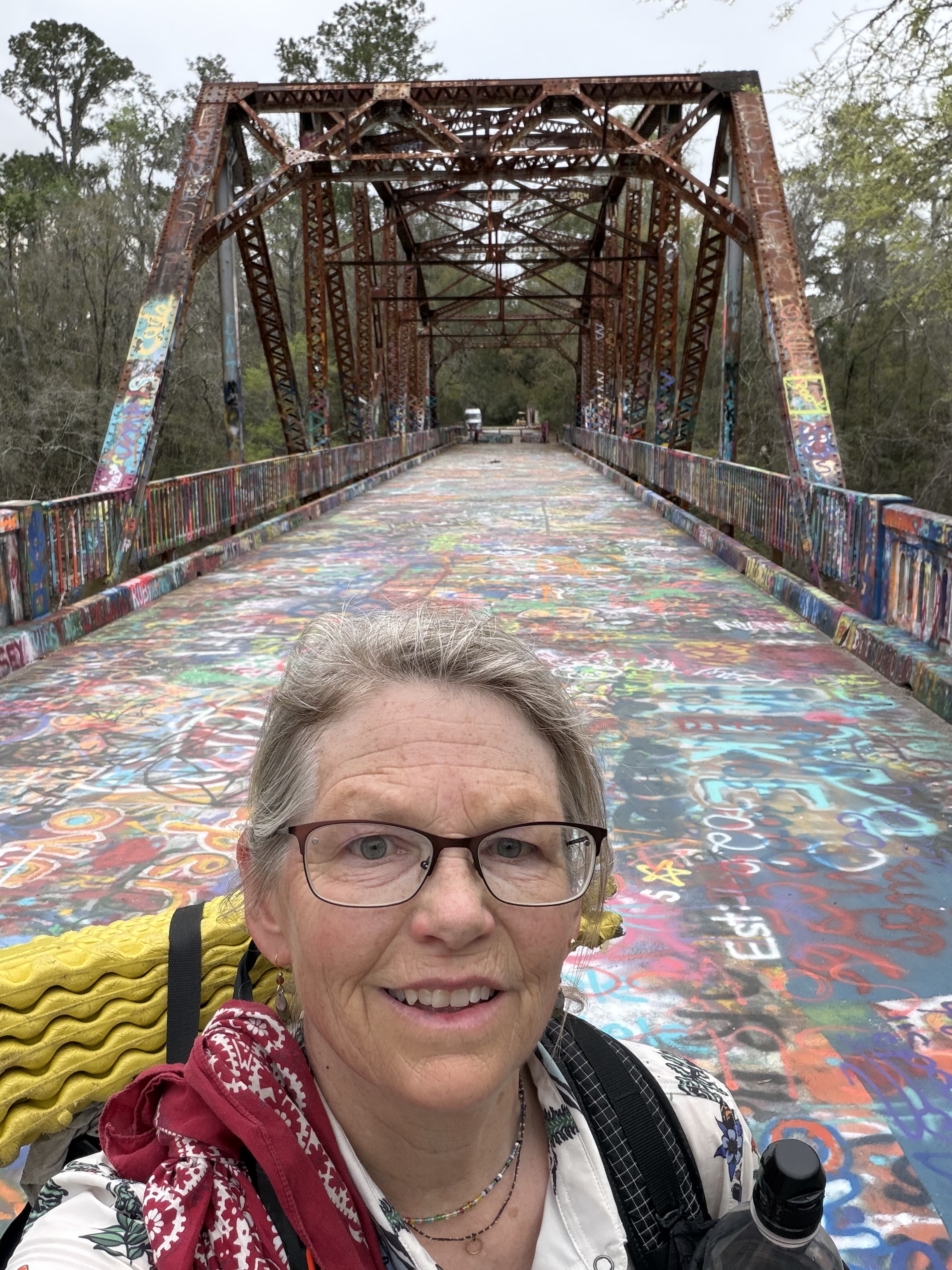
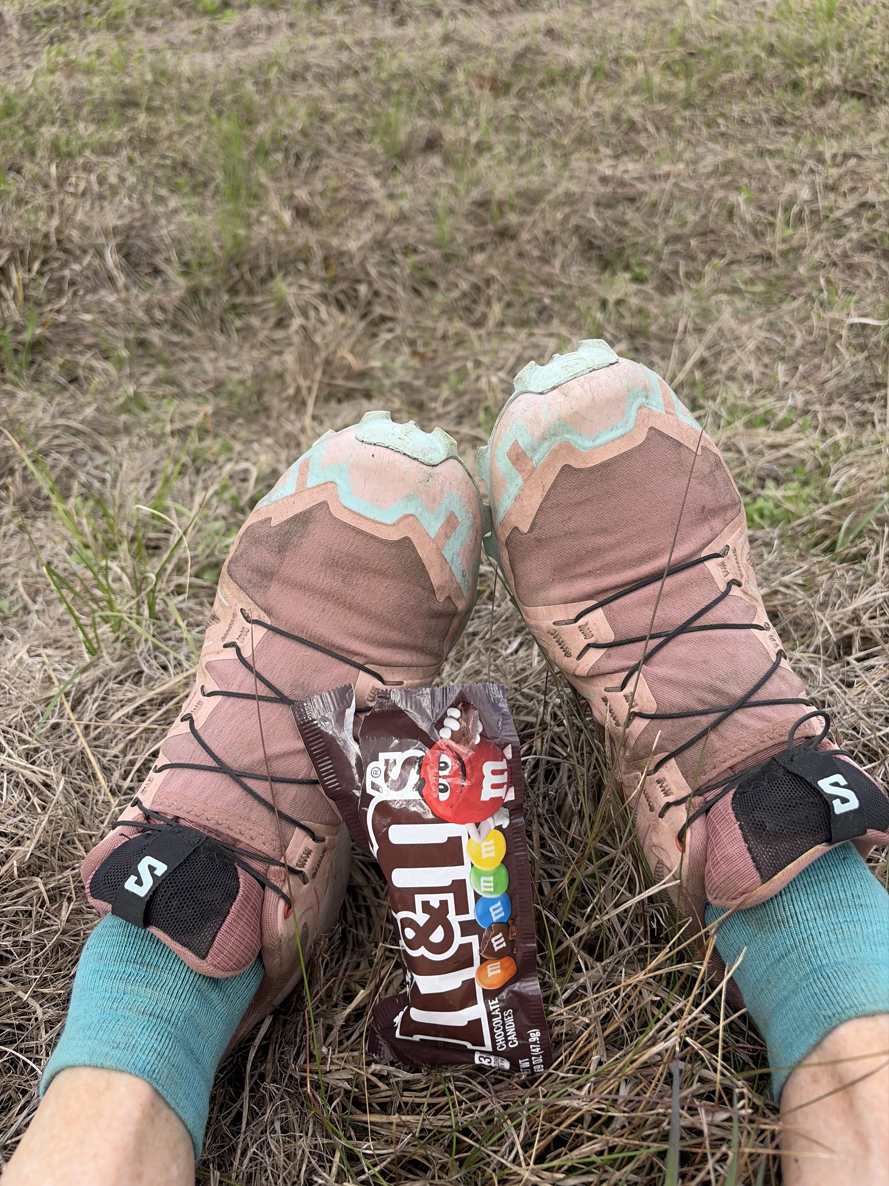
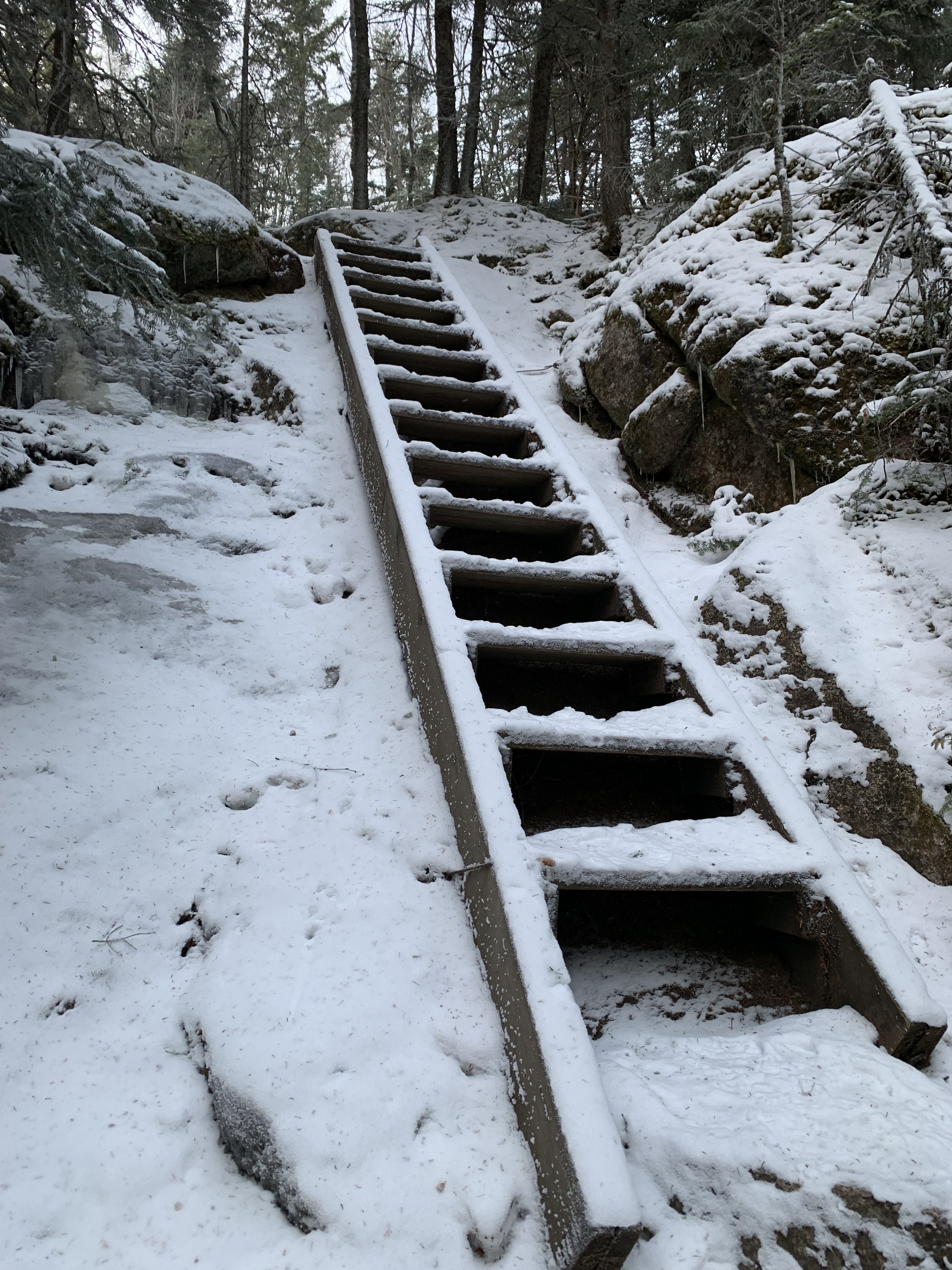
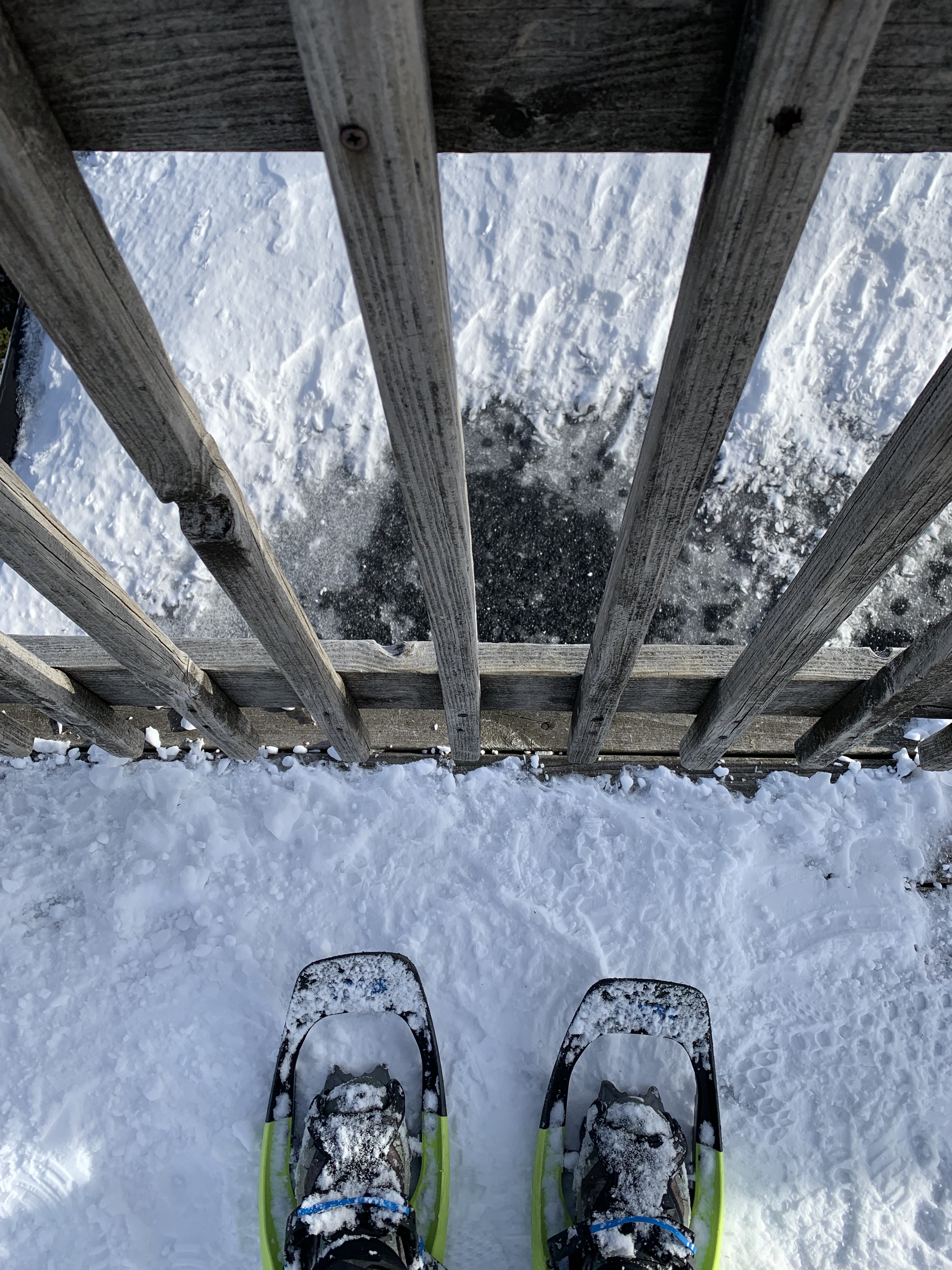
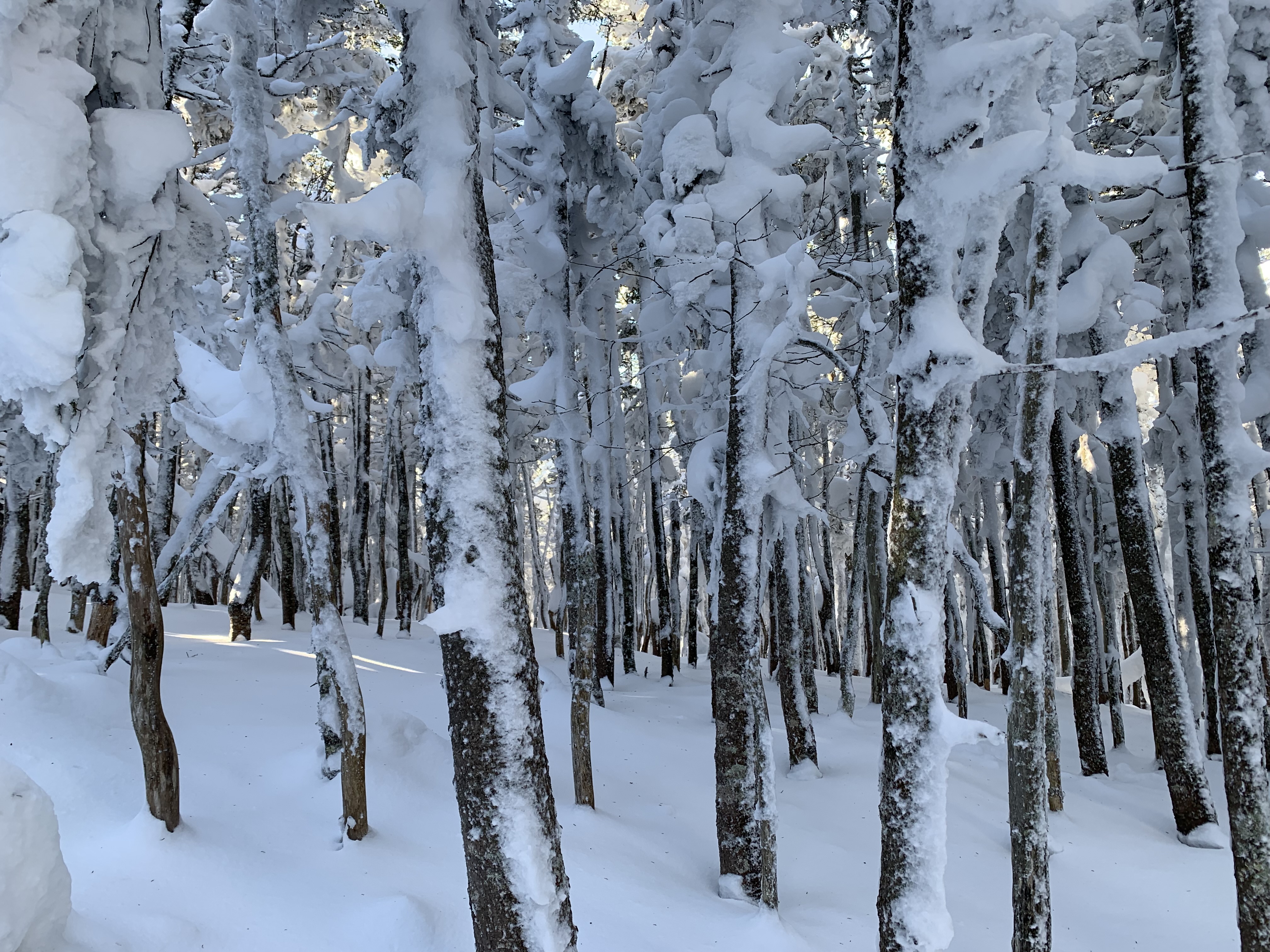
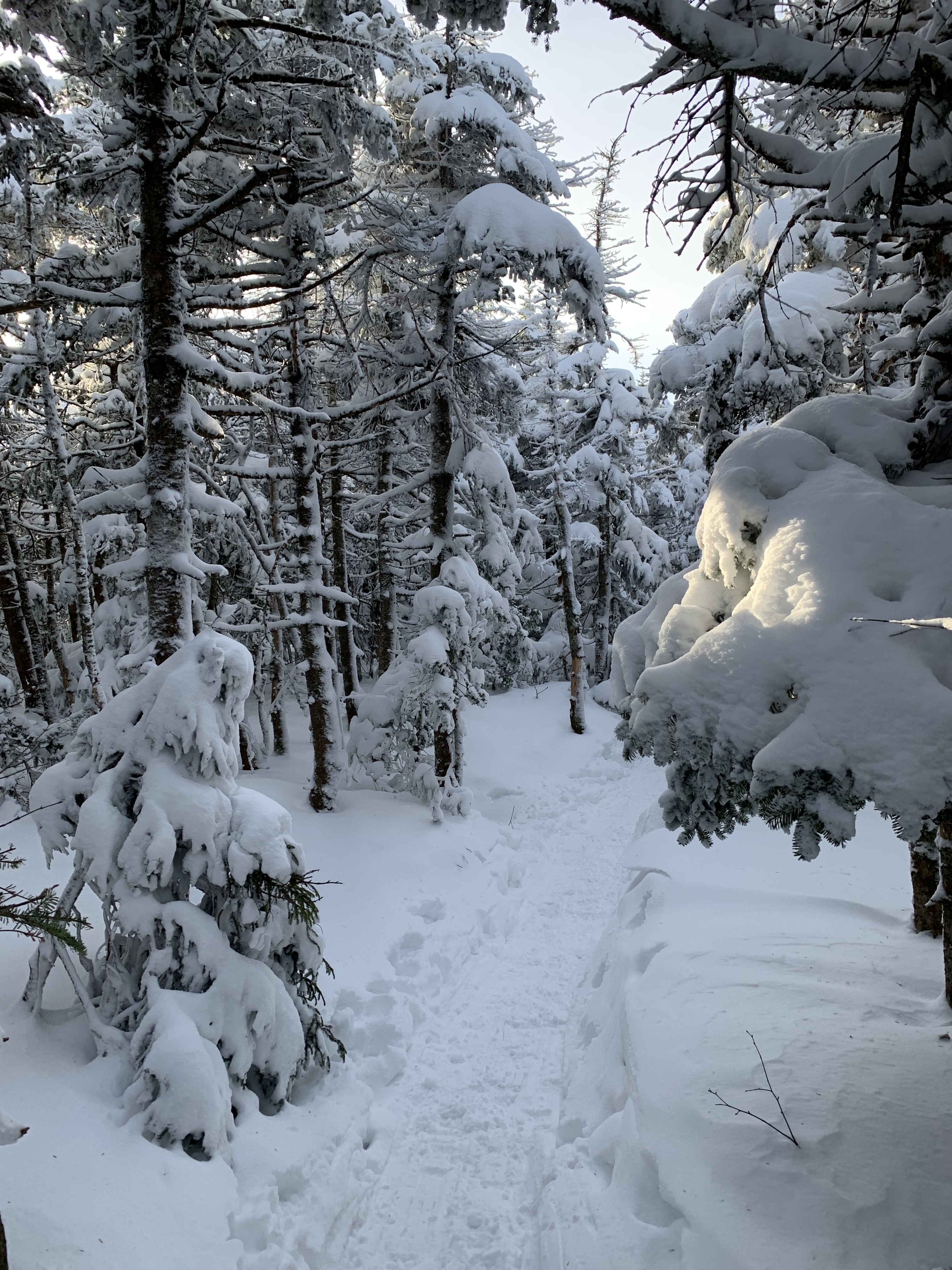
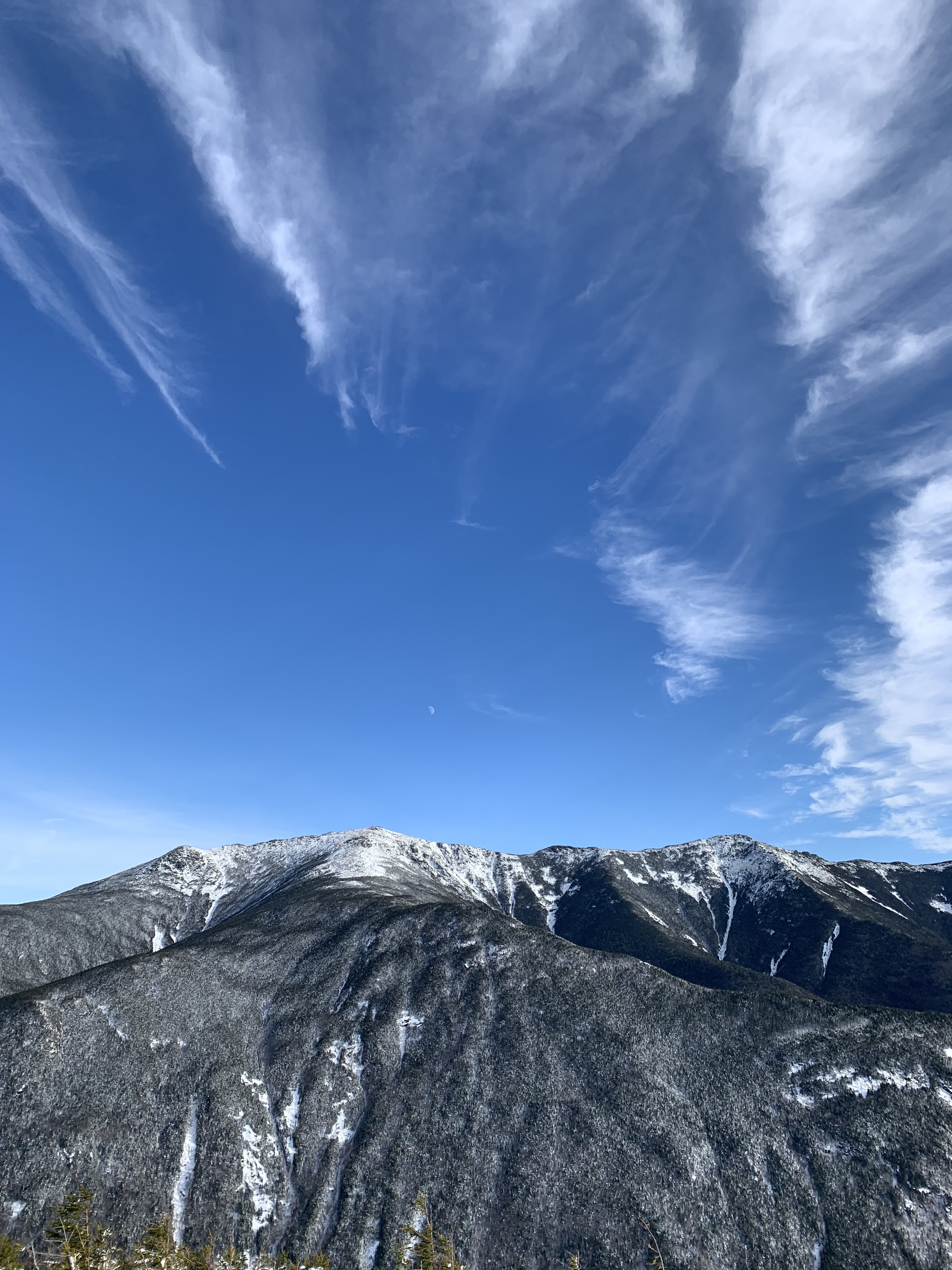
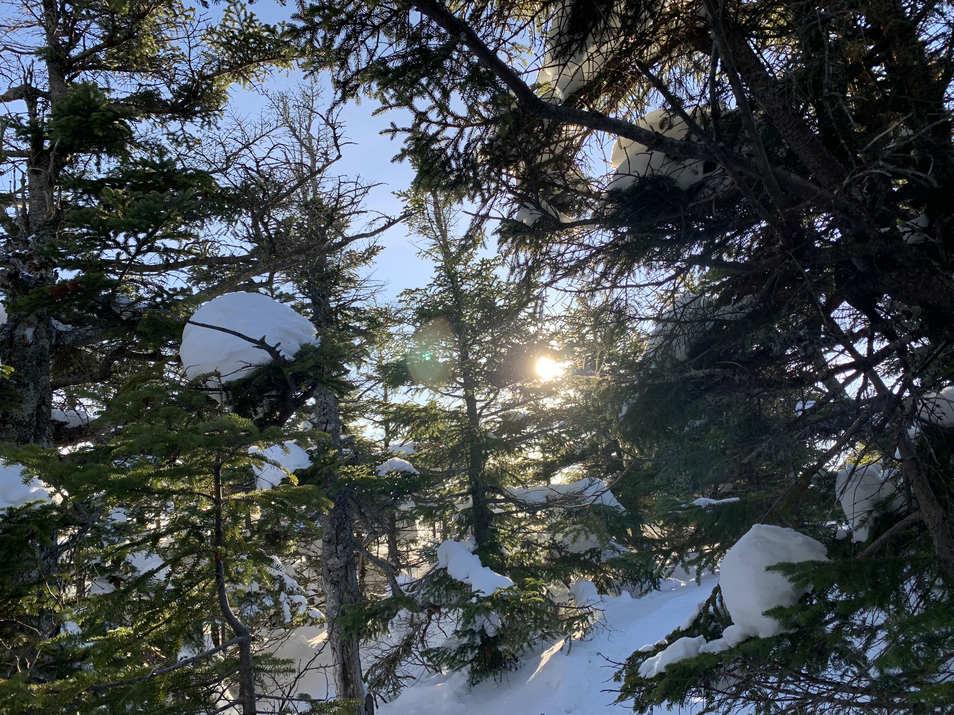
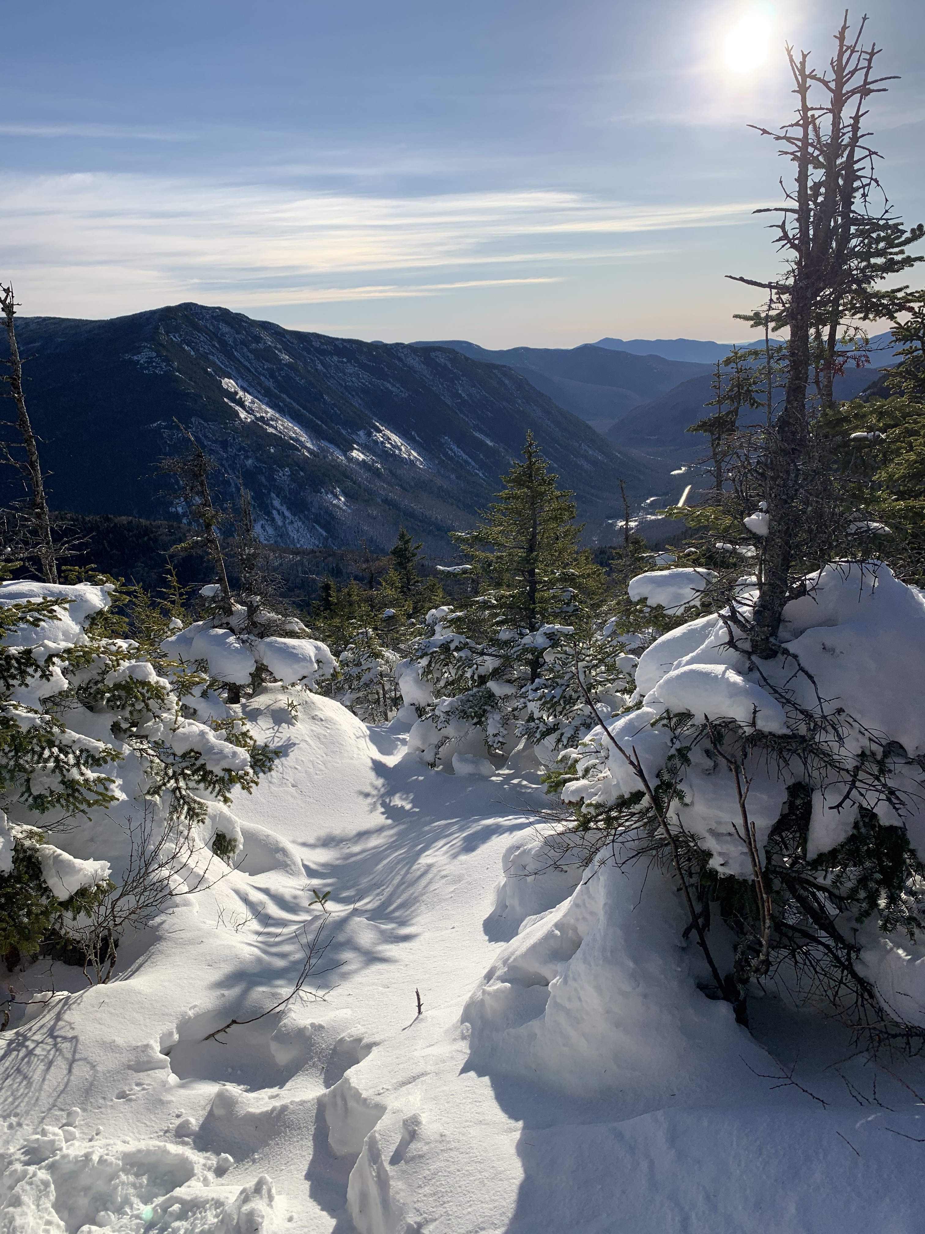
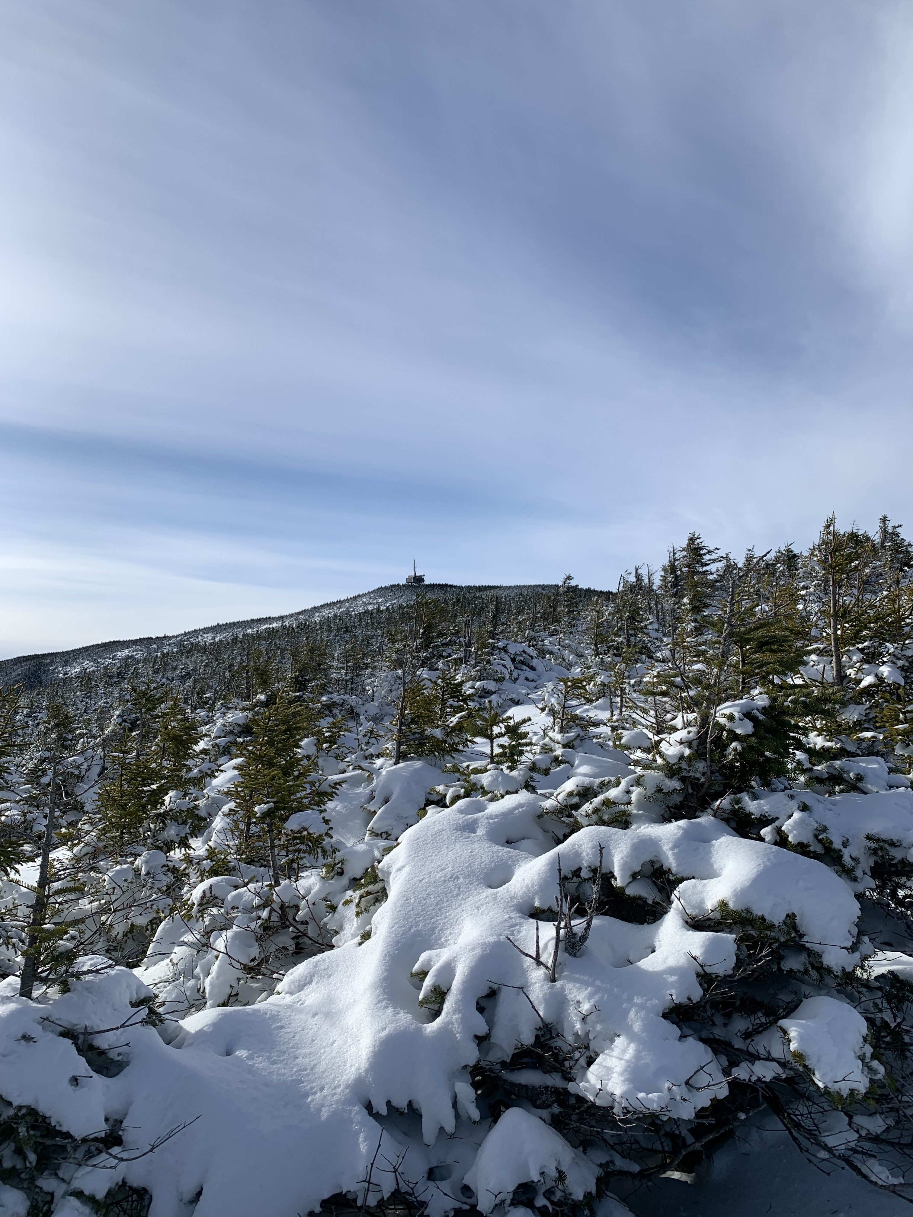
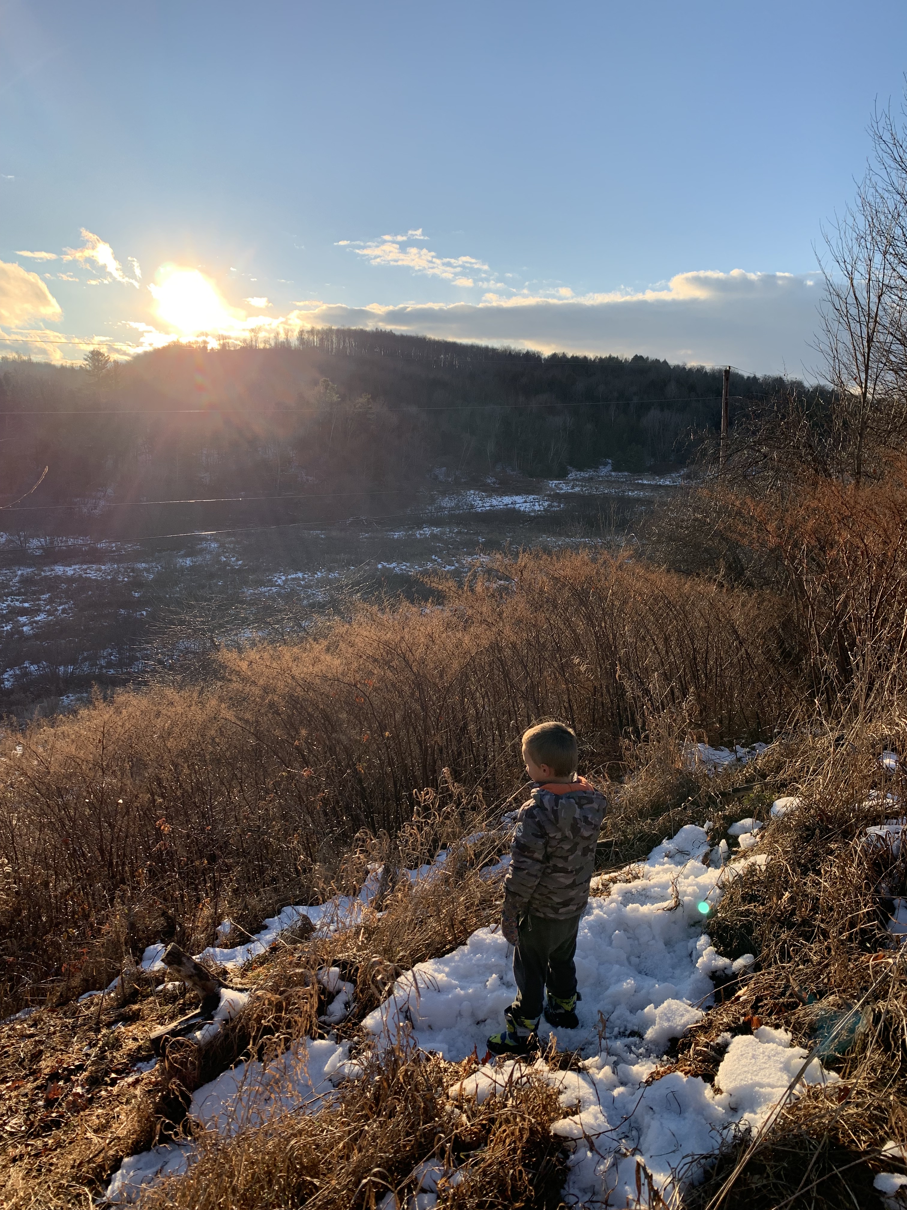
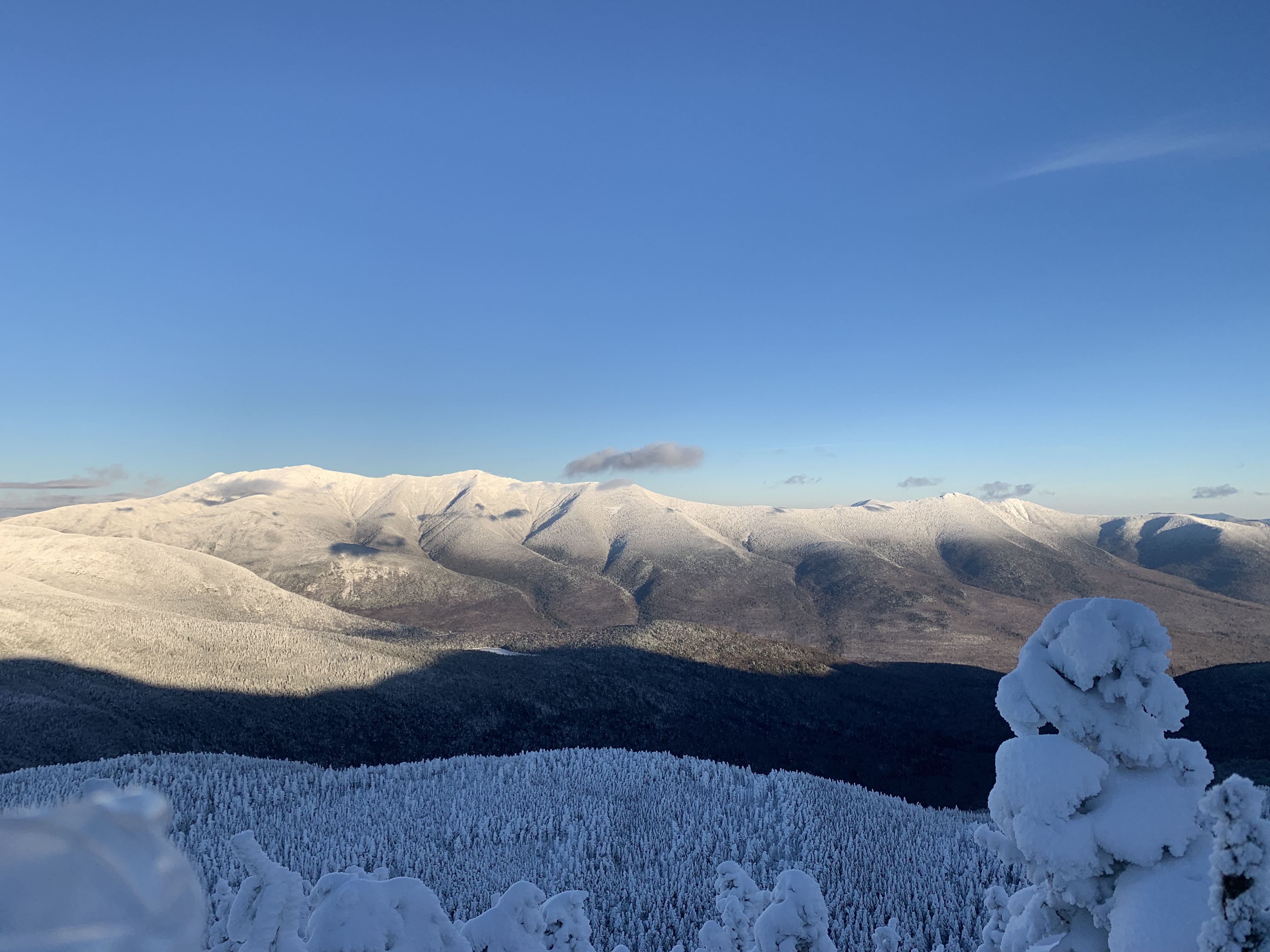
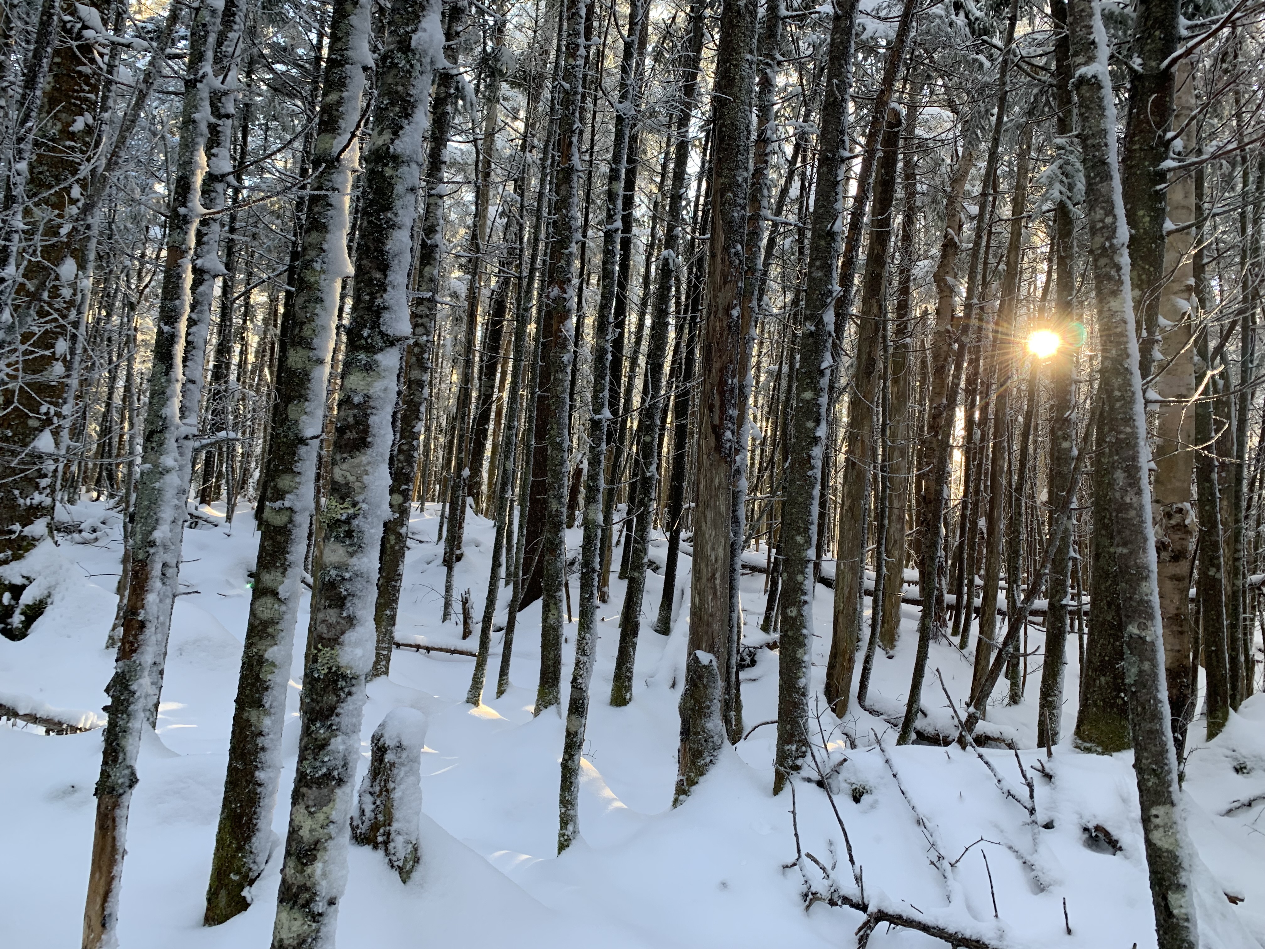
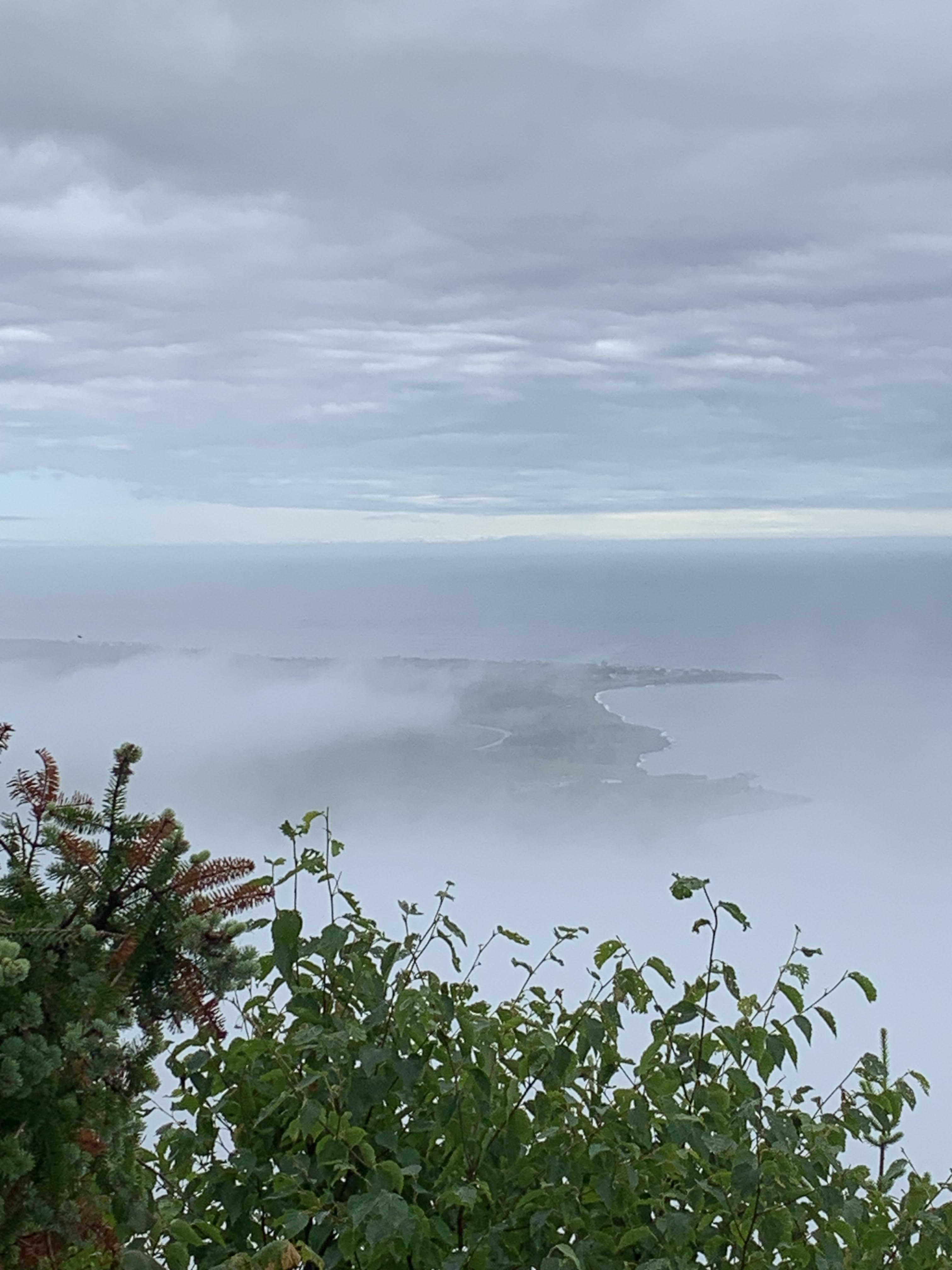
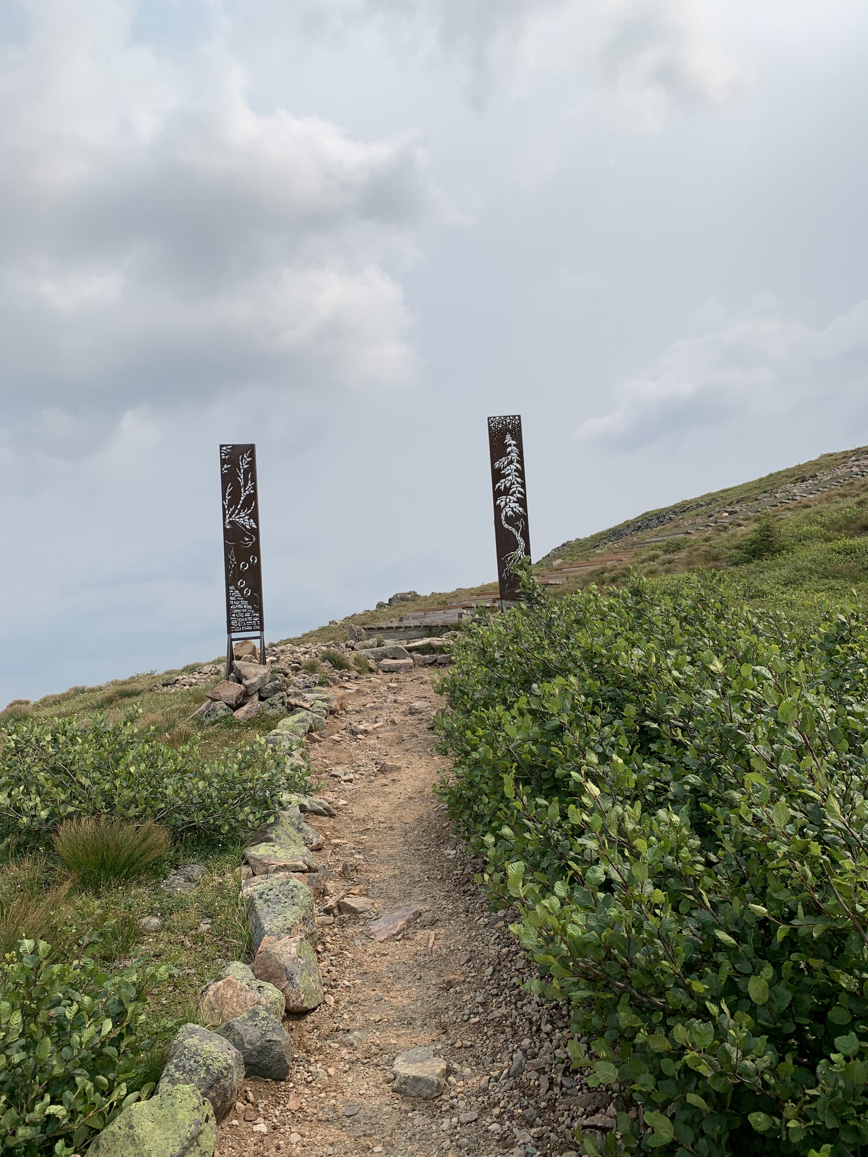
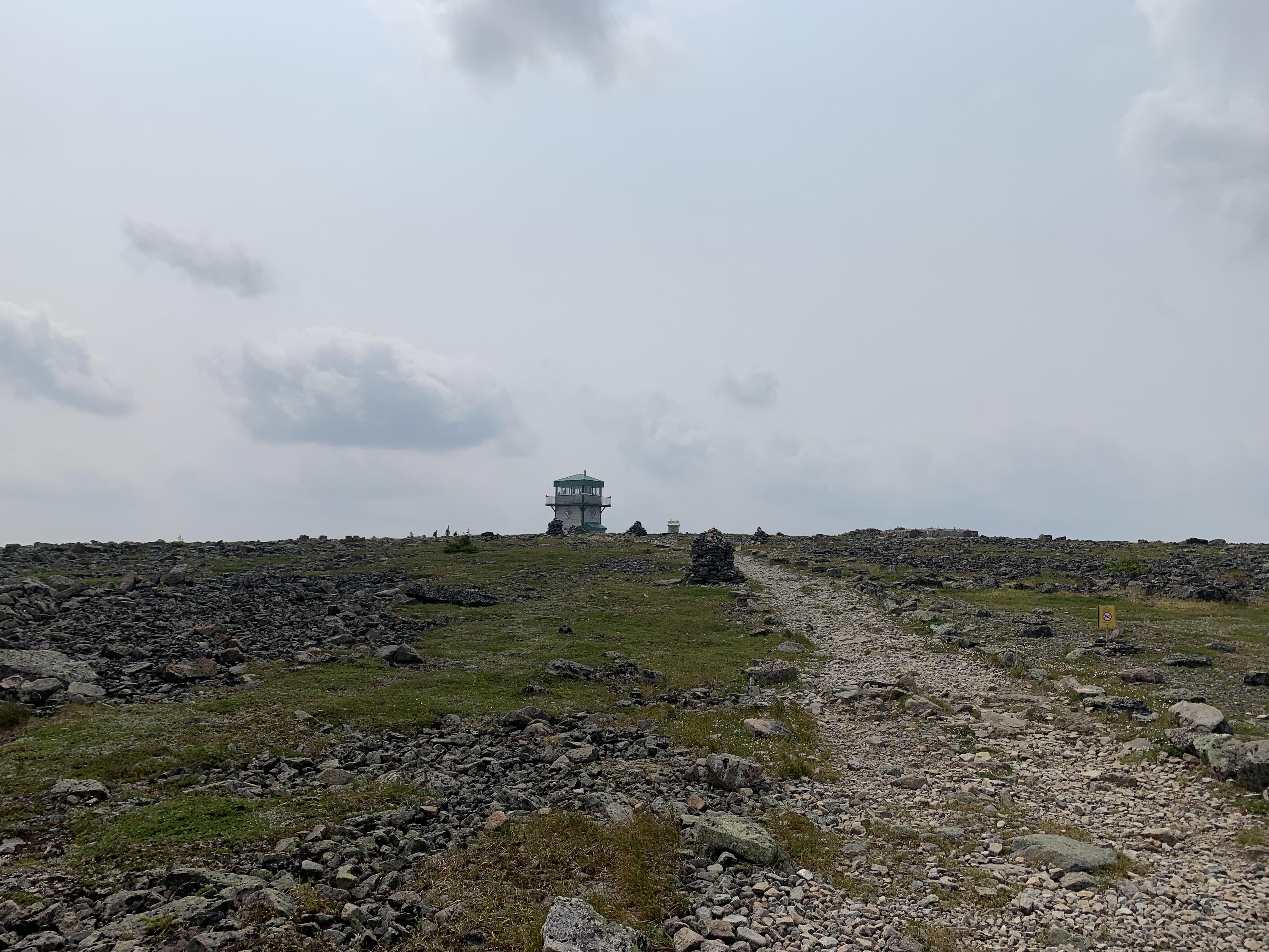
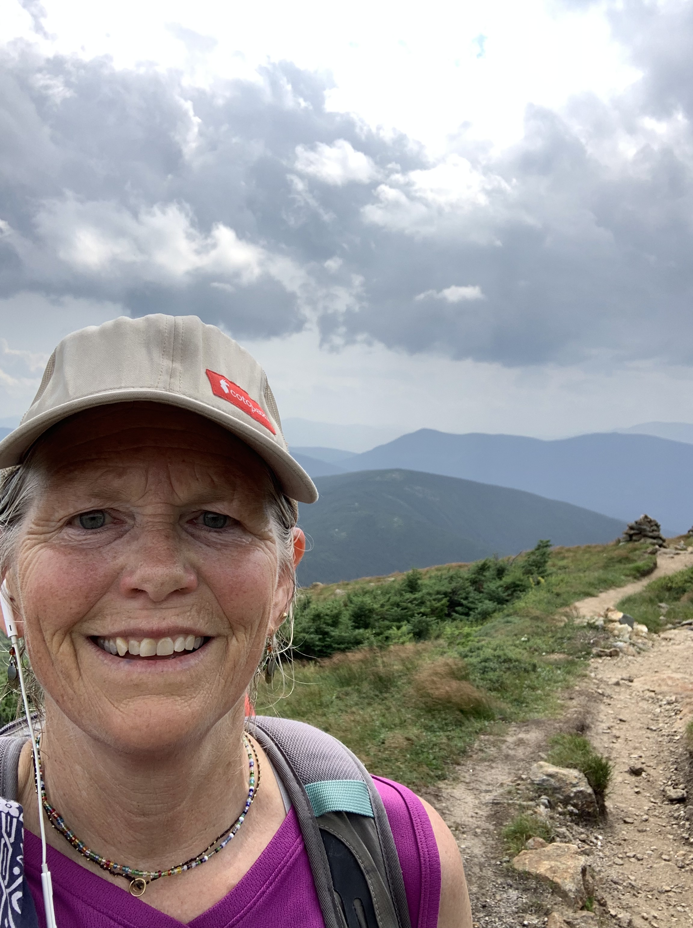
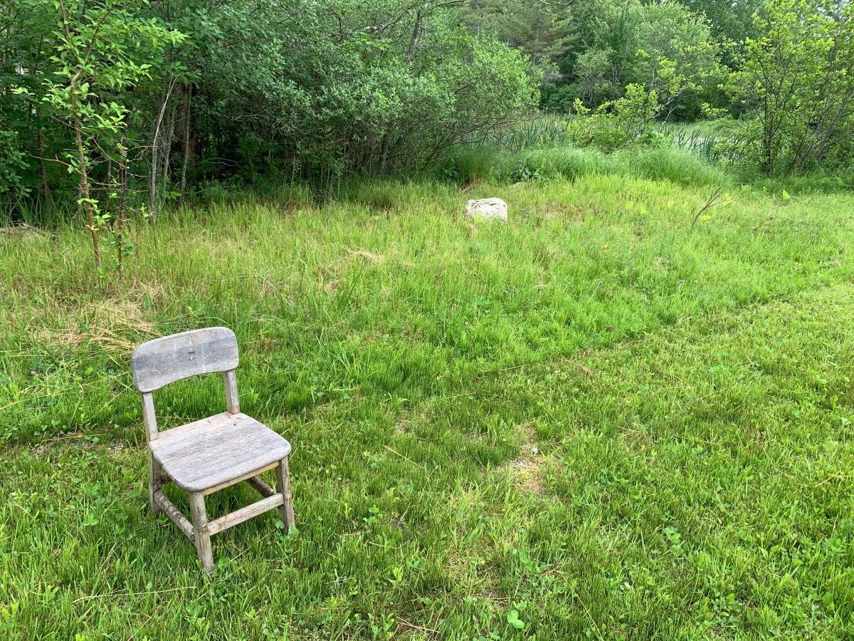
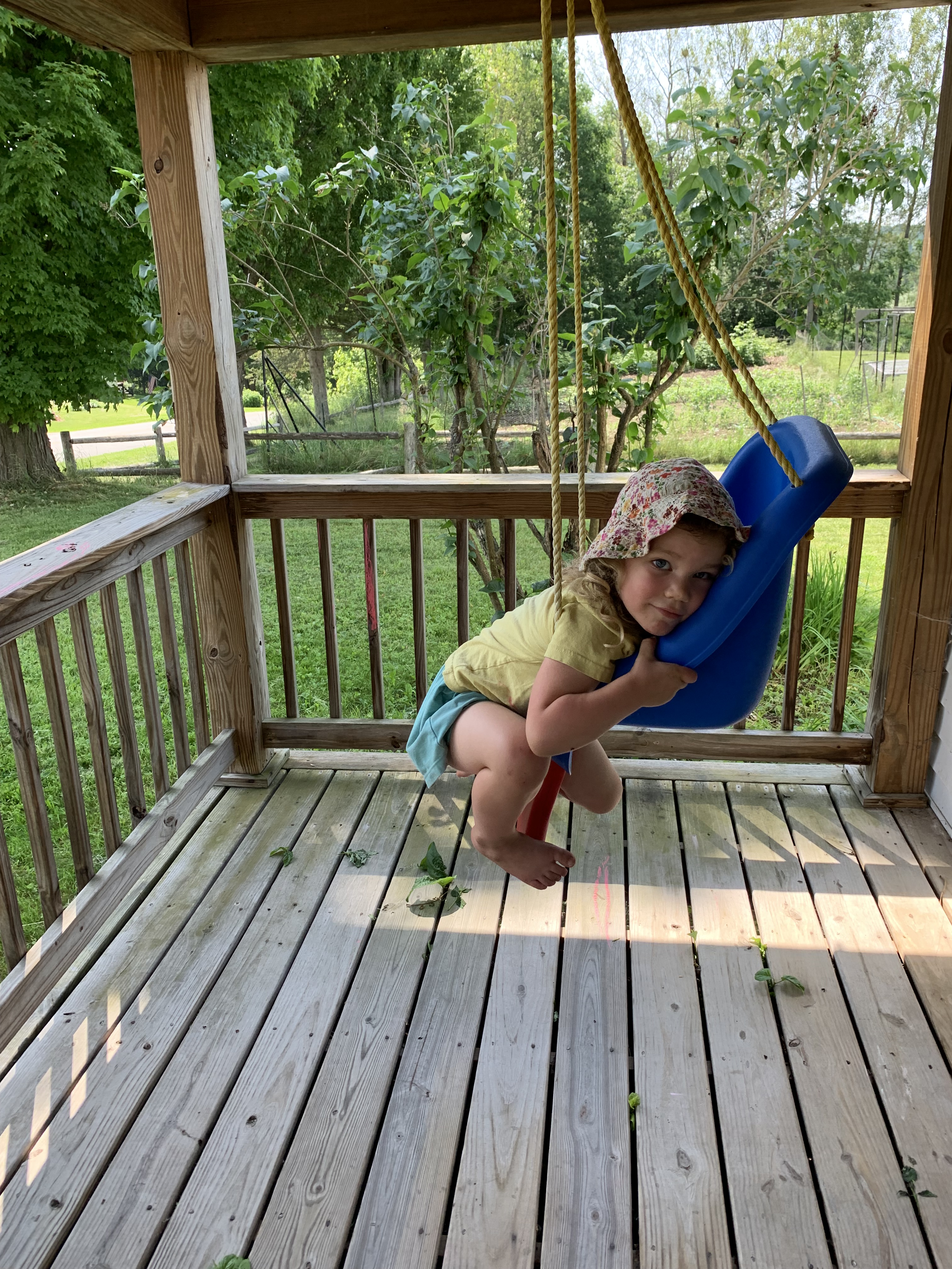
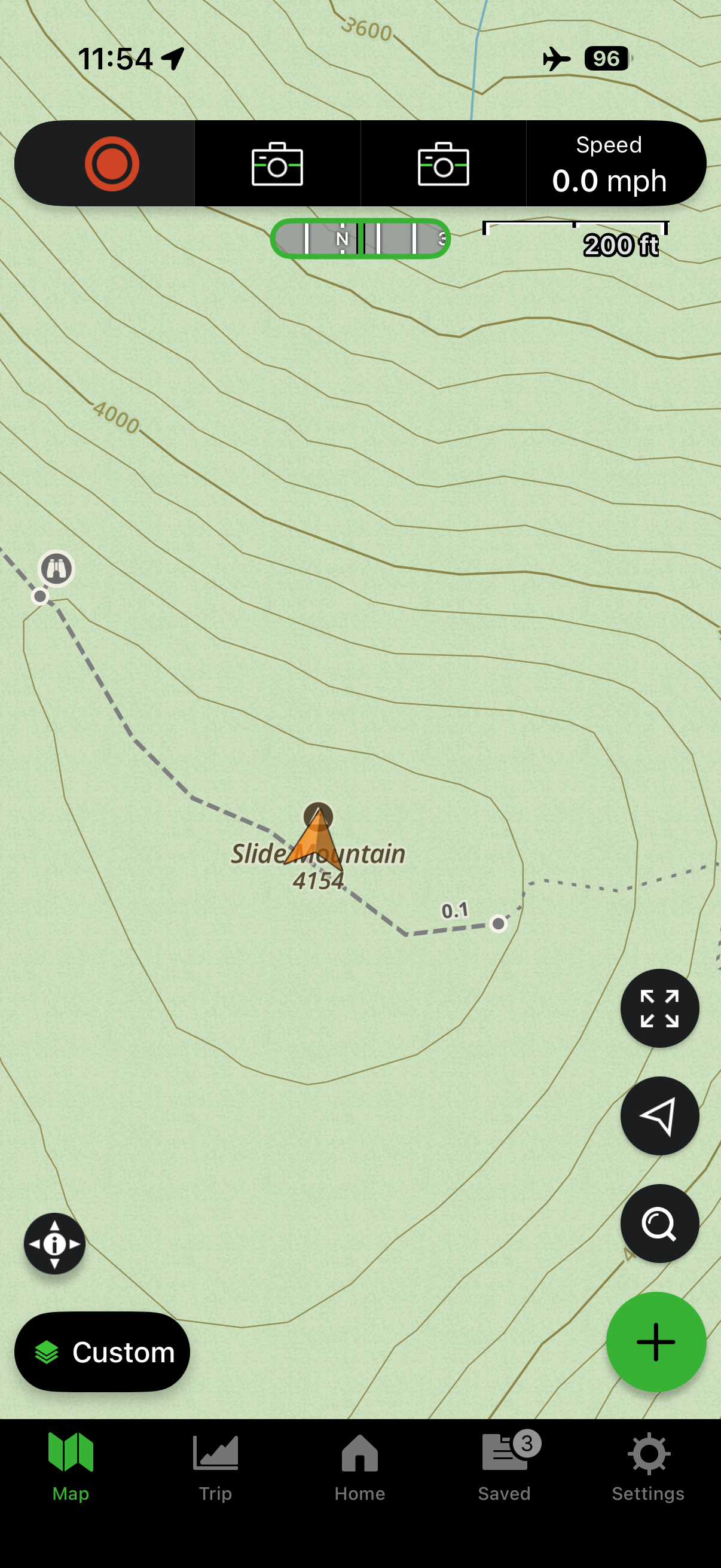
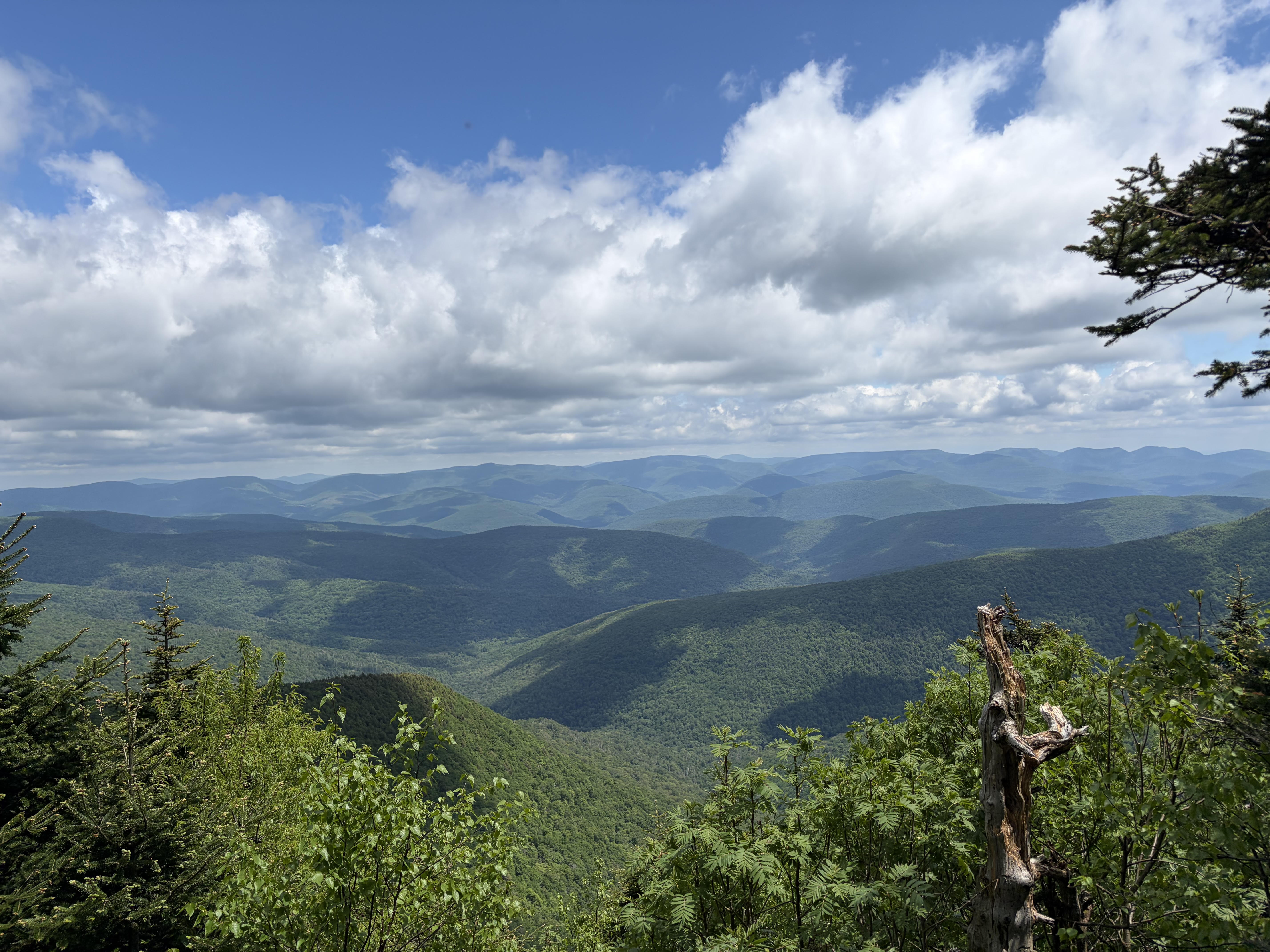
Under the weight of this injury, my muscles soften and my body grows thicker by the day. I want to walk, run, climb, stand on summit, cross rivers, burn my skin red. I’m stuck – like my friend, I’ve bled money and time searching for the cure that ever eludes.
But what if-?
Mark describes what happens next. Desperate, the woman with the issue of blood gambles through the throng, trailing behind the One whom she has heard can heal. If I could just touch his hem, she reasons, maybejustmaybe, all that they say about Him will prove true, for me.
And it does. Immediately her bleeding stopped and she felt in her body that she was healed of her affliction.
And after a somewhat comical exchange between Jesus and disciples – Who touched me? – Are you kidding, Lord, don’t you see this crowd? – Jesus stops everything and focuses on this one lone lady.
Daughter, your faith has healed you, he tells her. Go in peace and be freed from your suffering.
What if-?
What if all those years cowering on the outskirts, being shushed and shooed, ignored, beaten down, drained of hope? What if all of it pointed to one singular encounter with a Savior who was willing to break open her suffering heart and set her free?
I want to ask her, though I’m sure I know the answer: was it worth it? To go through all of that for that one momentous moment, and all the hereafter that followed?
I want to think it that it was. That it is, for me.
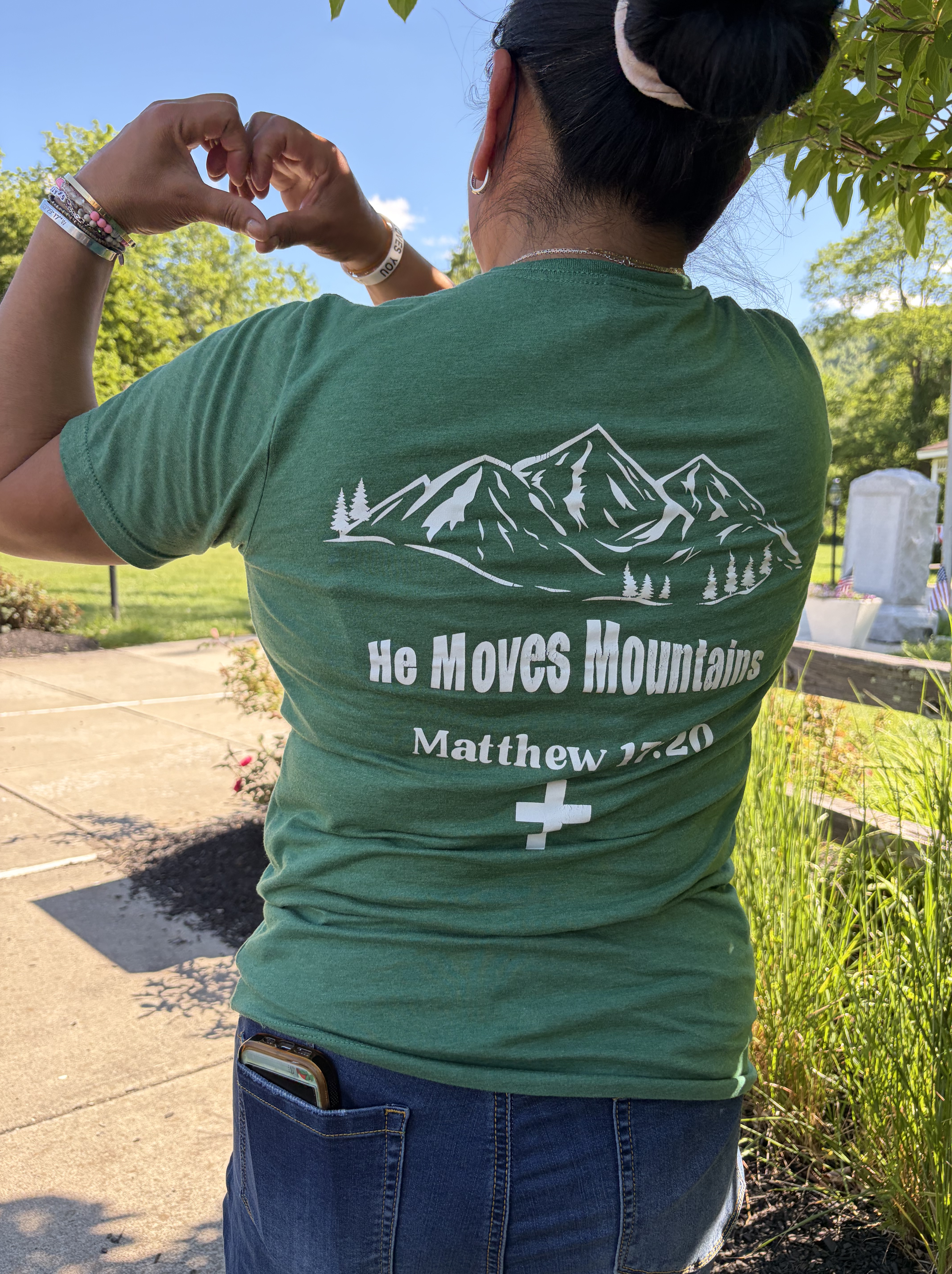
What if the moonscape of the last 12 years has simply been leading me into a covenant of greater trust in Him who holds back the crowd for just His beloved one?
Have I been moving so long and so fast that He’s had to sit me down for this season? To pull those pieces of my reluctant, petulant heart that kick and scream like an angry toddler who thinks she knows what’s best?
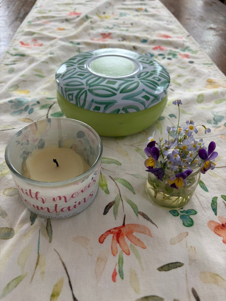
Summer has always been a time of growth, but I sit here, again, shrinking, day after day, pleading my cause (Jesus, Son of David, have mercy on me), tiptoeing around His promises, asking skeptical questions, doubting but wanting to believe.
Like Abraham did. He, too, endured years of waiting on the God who promised.
Paul puts it this way: Abraham dared to trust God to do what only God could do: raise the dead to life, with a word make something out of nothing. When everything was hopeless, Abraham believed anyway, deciding to live not on the basis of what he saw he couldn’t do but on what God said he would do.
I long to meet Him at the hem.
To pray through. For it not to matter if I am ever healed, to say that it was worth it, even if.
To declare, as Habakkuk did, not through gritted teeth but with open, surrendered, triumphant hands:
Though the fig tree does not bud
and there are no grapes on the vines,
though the olive crop fails
and the fields produce no food,
though there are no sheep in the pen
and no cattle in the stalls,
yet I will rejoice in the Lord,
I will be joyful in God my Savior.
Like a wink, I read the last lines.
The Sovereign Lord is my strength;
he makes my feet like the feet of a deer,
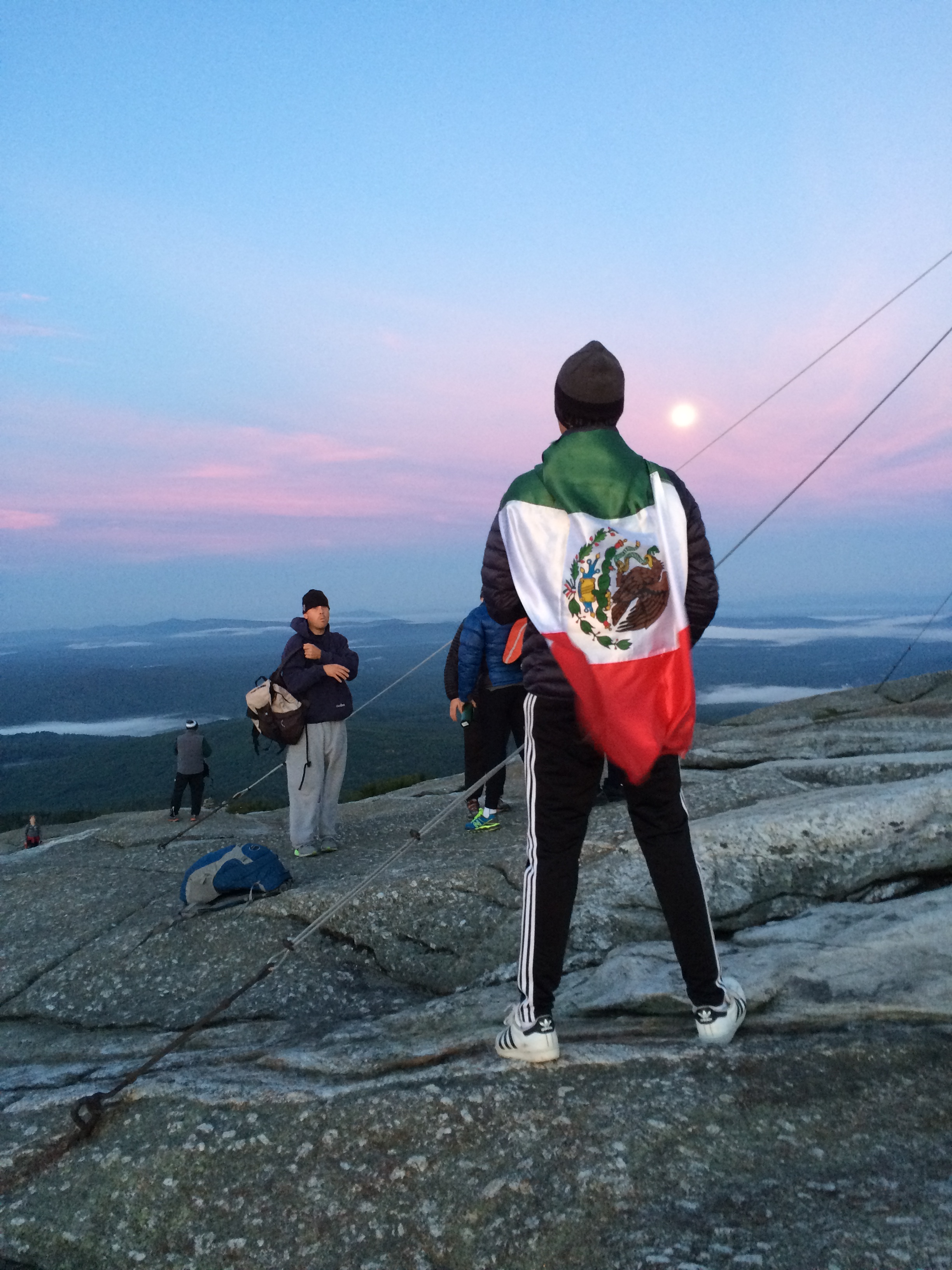
he enables me to tread on the heights.
What if-?