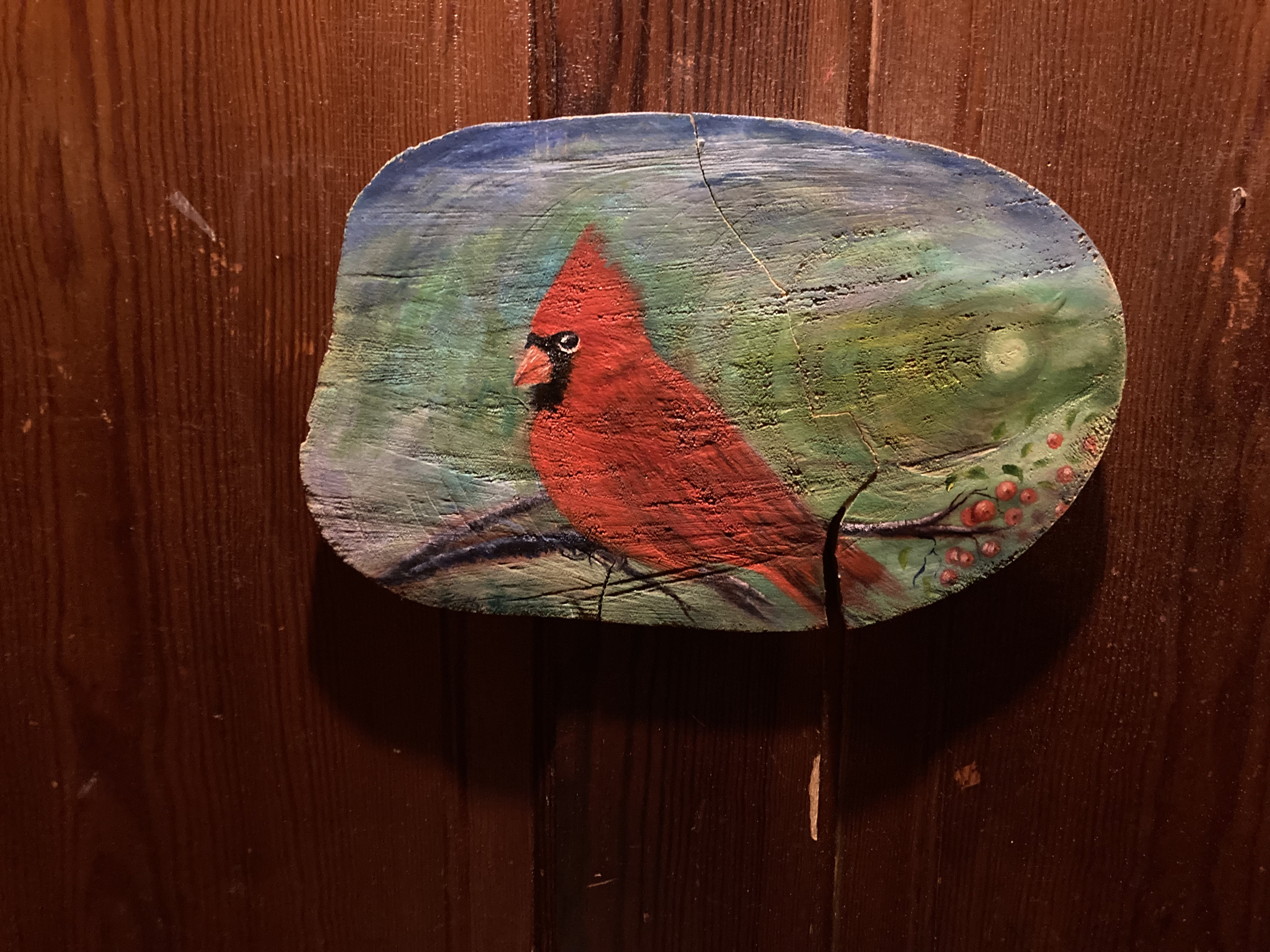
The Other Bear
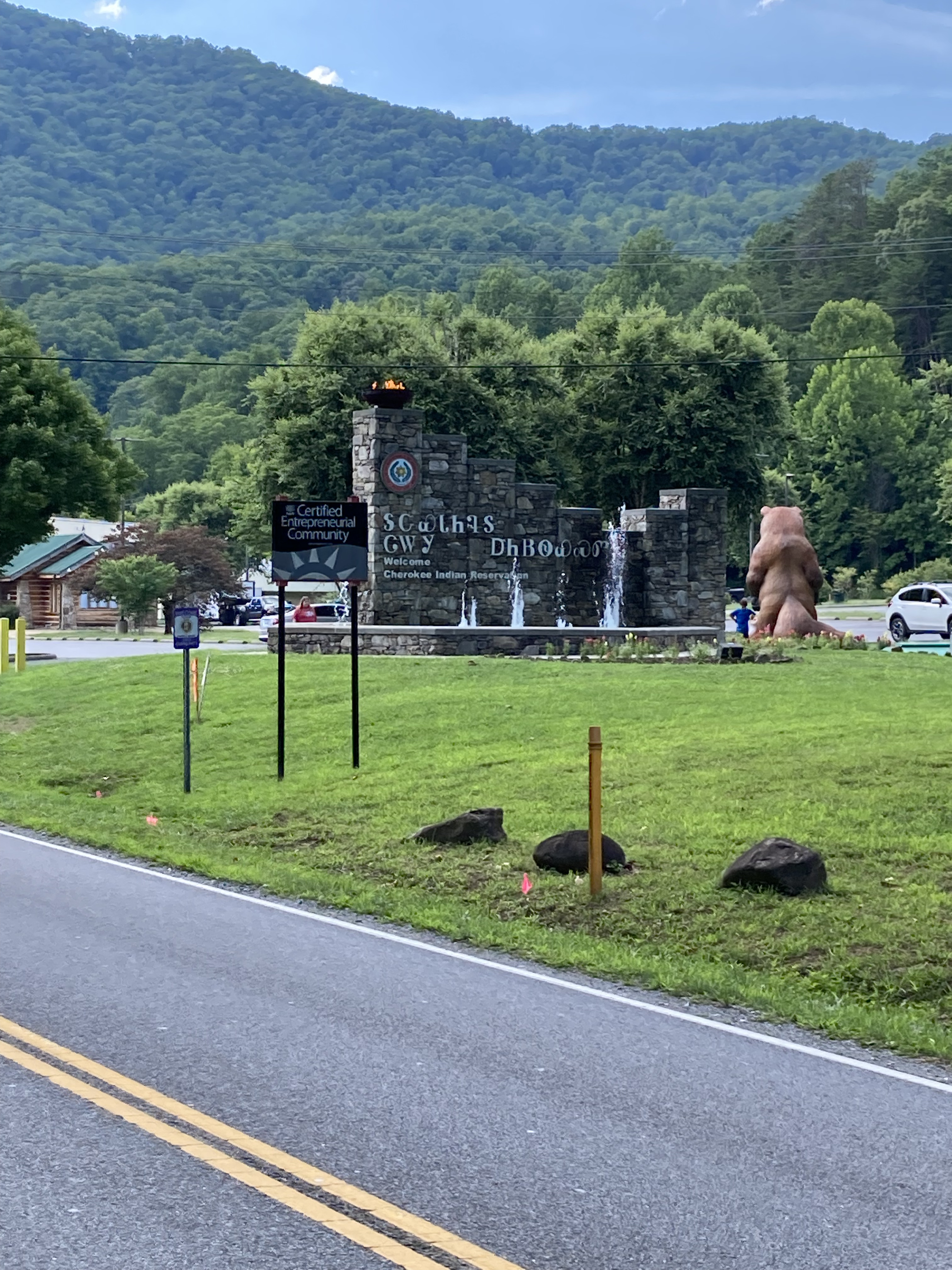
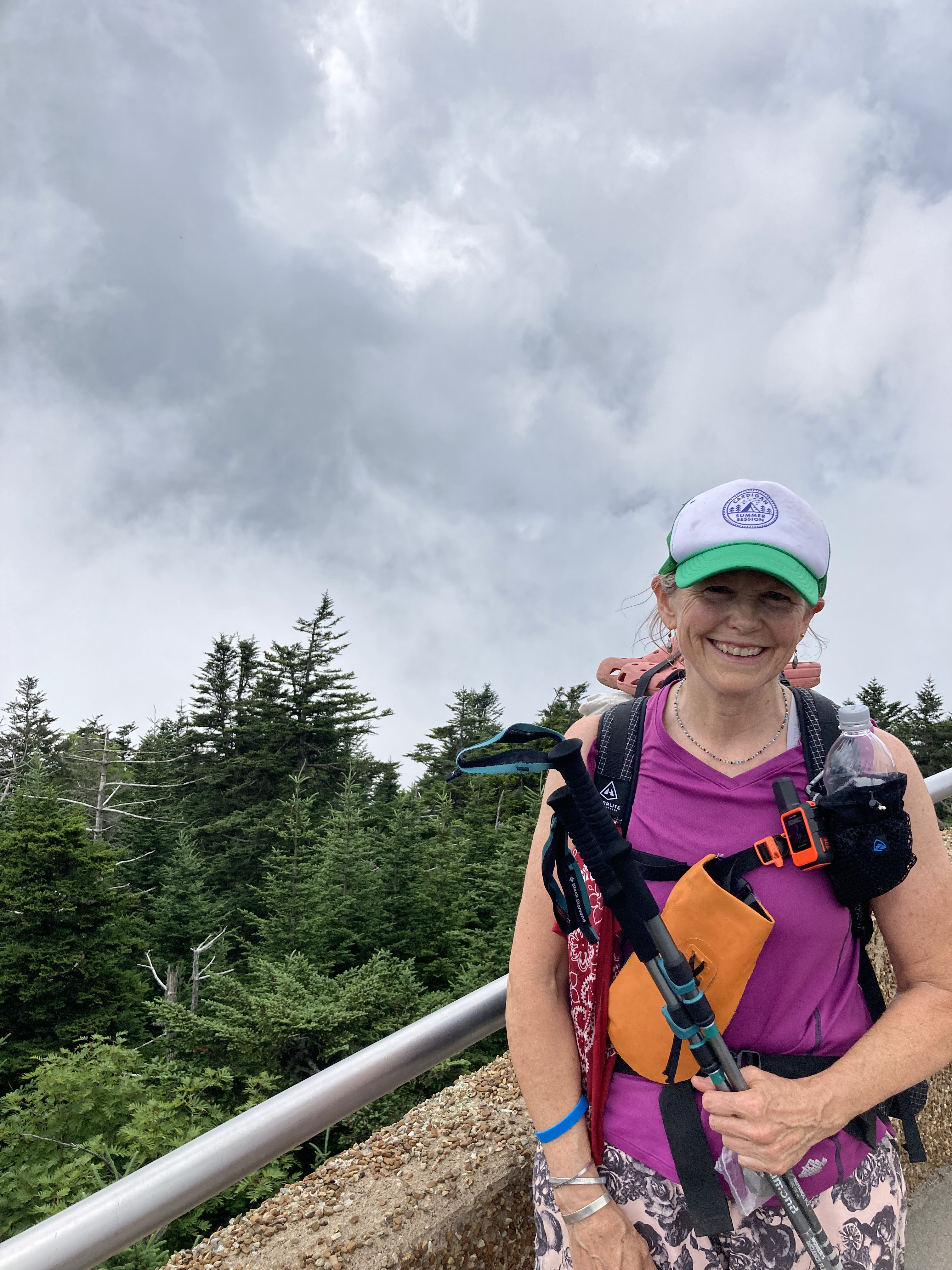
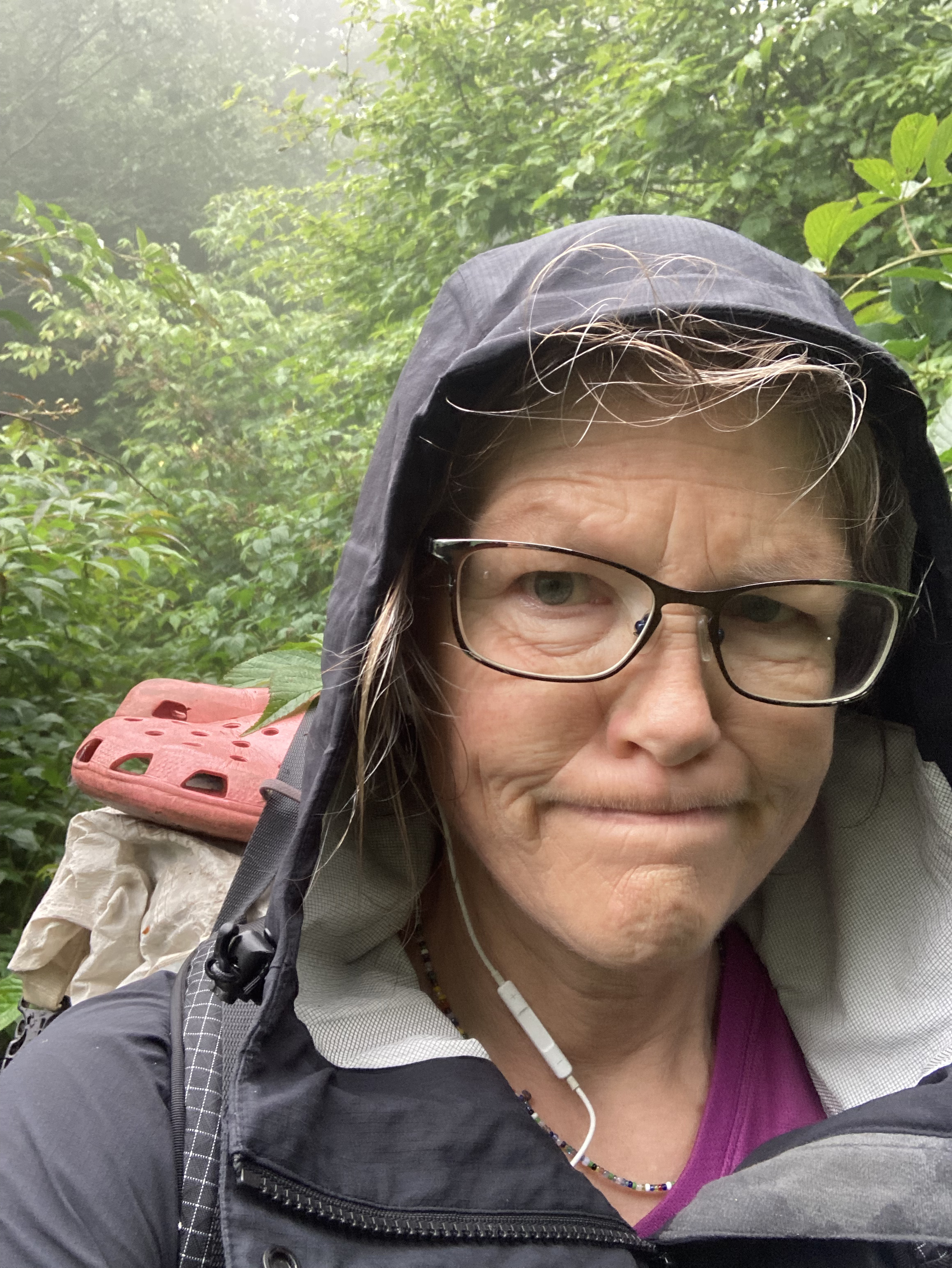
Hot! Temps are high on the steep slog out of Hot Springs, but all during my time at Laughing Heart Lodge, I had been mentally preparing myself for this particular pain cave.
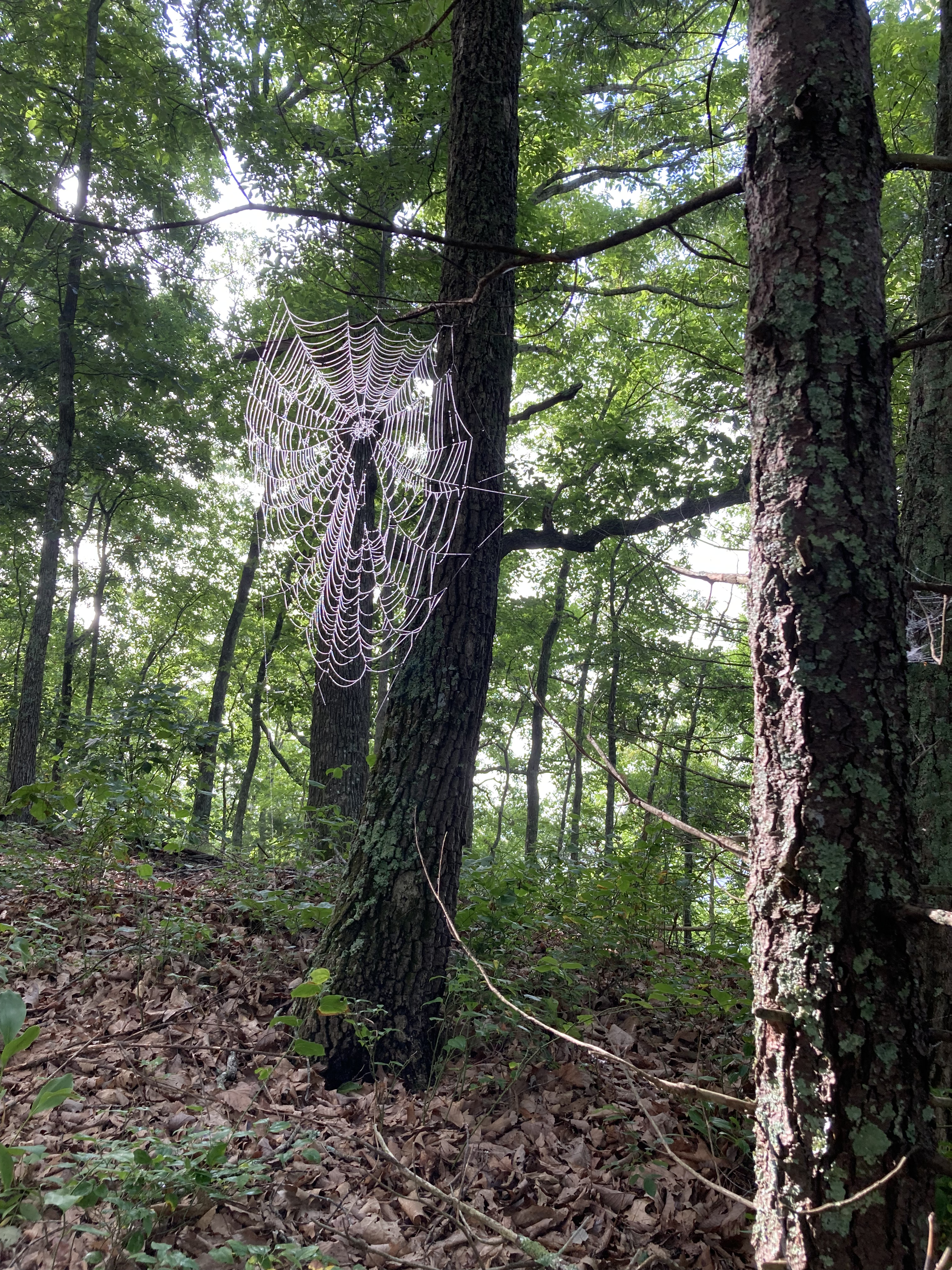
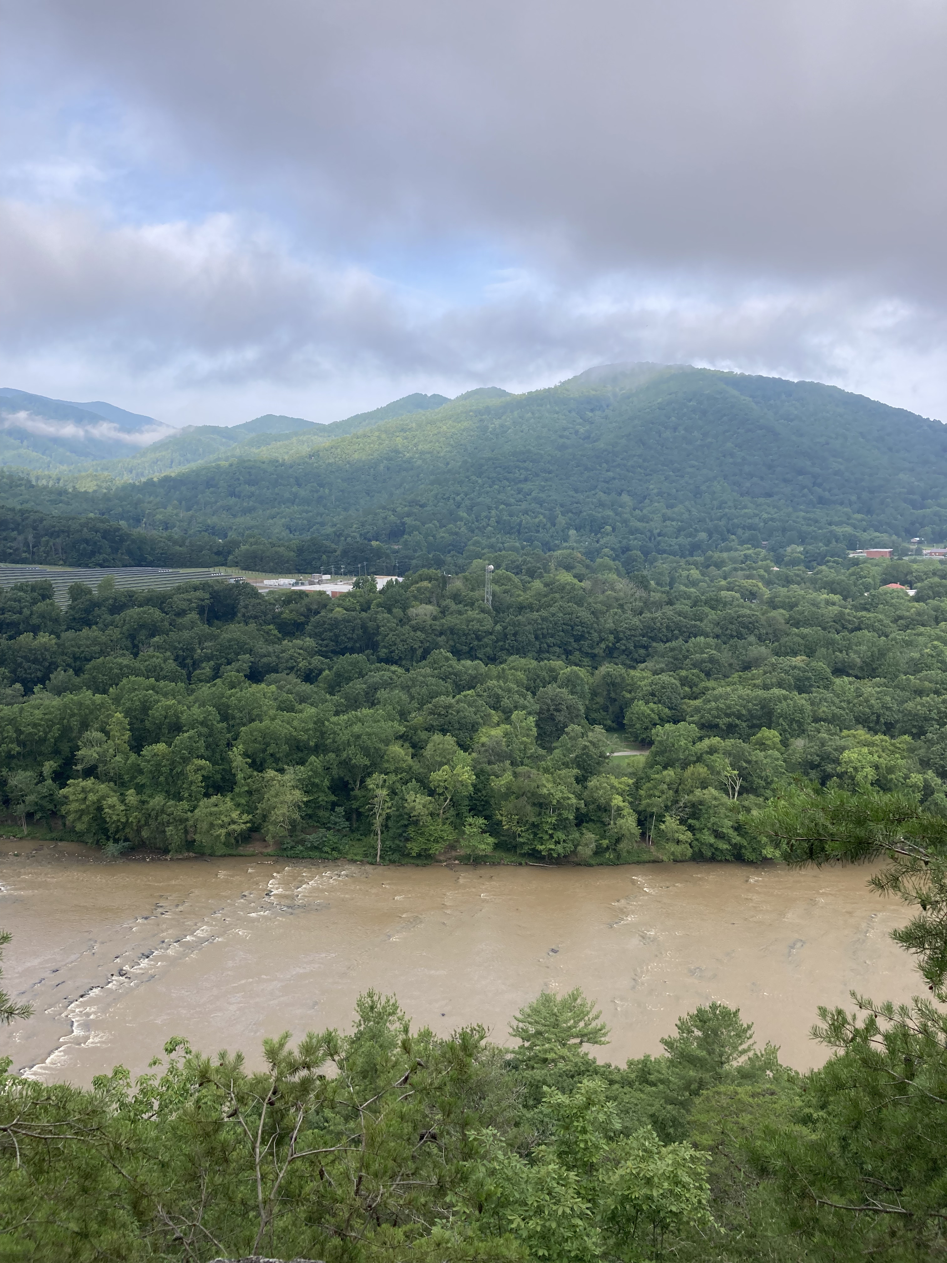
I love hiking. Truly, I do. Sometimes, however, like with a pack heavy with town, it can be rough, so I try to appreciate the dewy webs and the French Broad look-back at the crest of the climb.
The day before, I had been startled at how tired and worn down Hot Springs seemed since my son and I had walked through 12 years prior, though this vibe is tempered by the friendly optimism of everyone I meet.
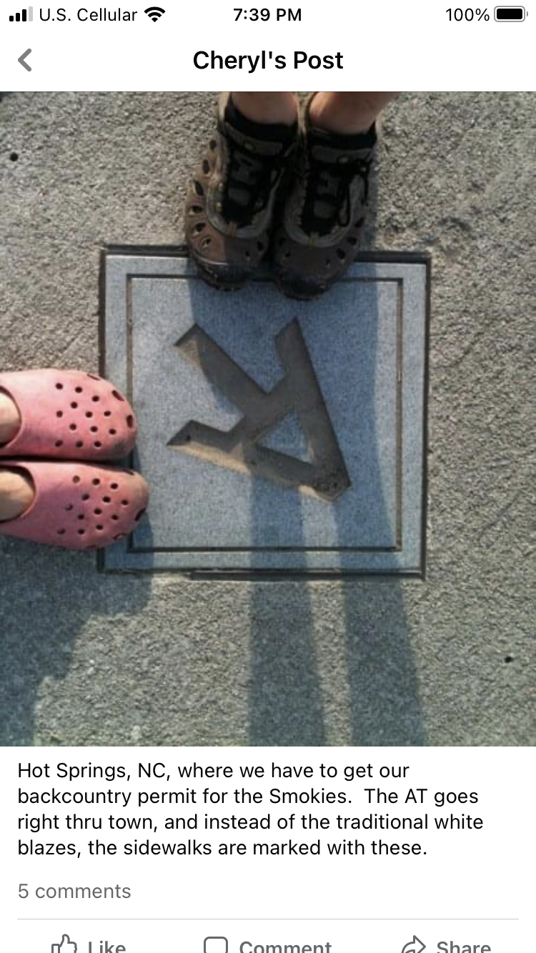
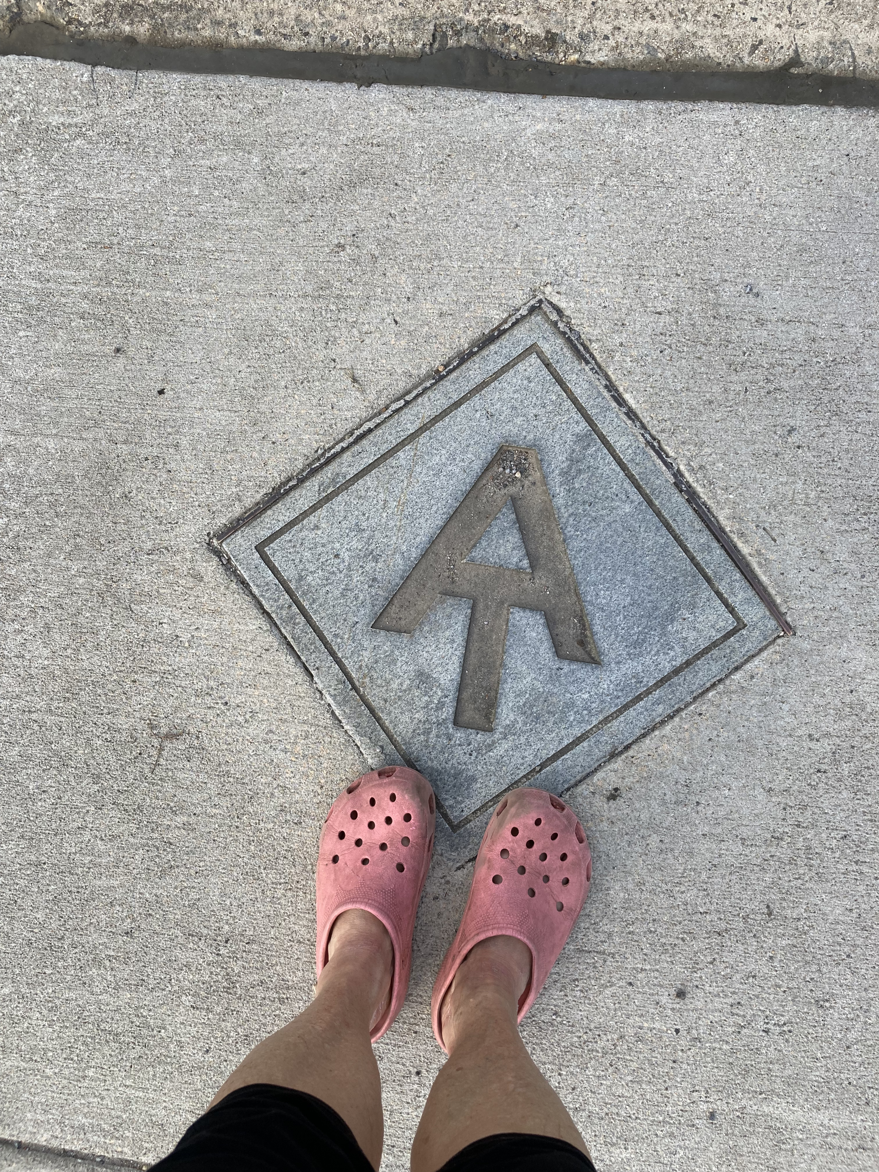
I recreate a pic of the AT sidewalk logo wearing the same crocs as before and try not to miss the kid.
I’m starting to long for home, though I want to enjoy the journey left; it’s roughly 80 miles back to Burnsville, and I’m aiming to be there in 4 days.
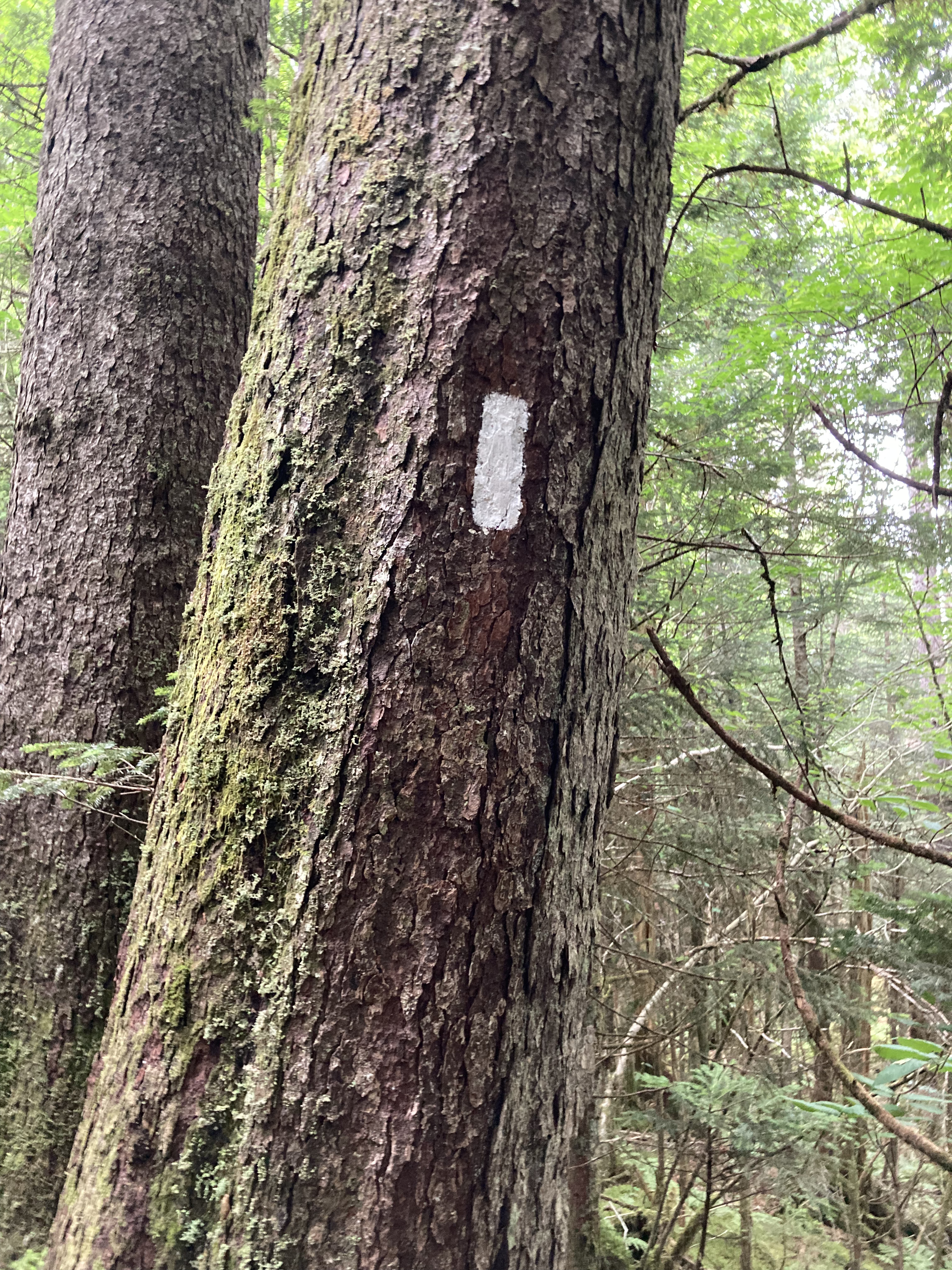
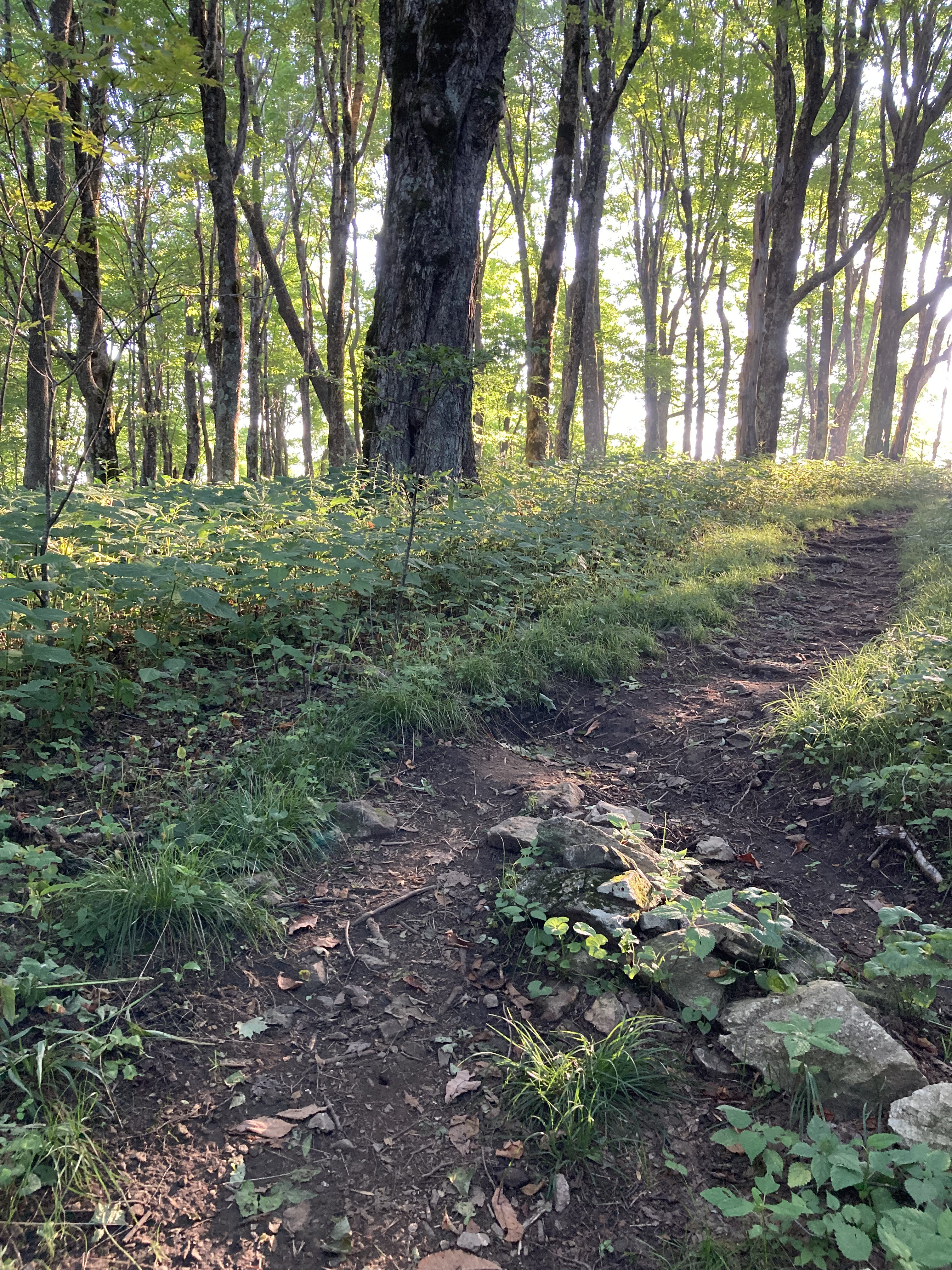
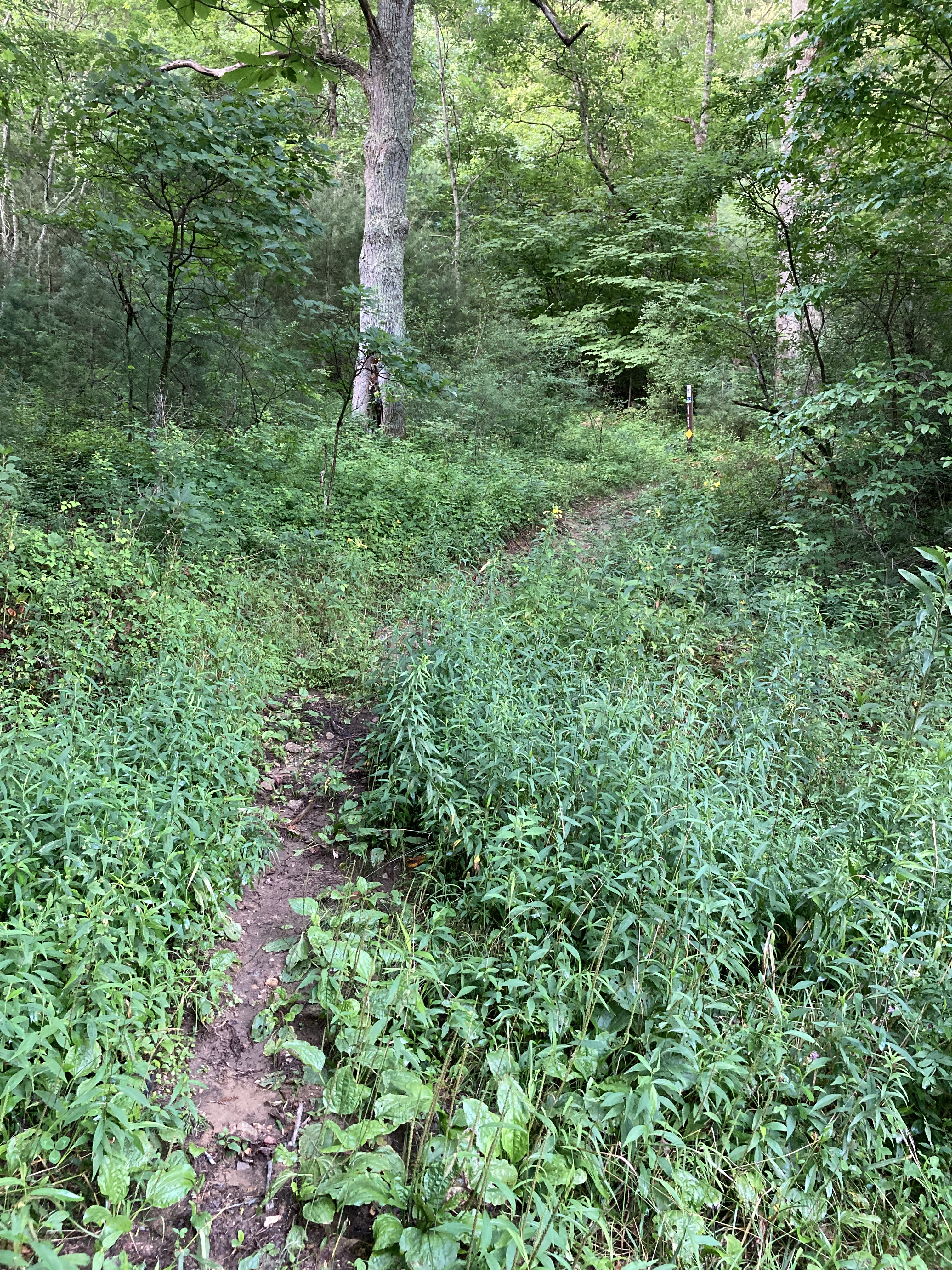
A little less than four miles south of Little Laurel Shelter, I cross Log Cabin Drive and start to ascend. I’ve got one earbud in, half-listening to some podcast and dreaming of dinner, when I hear the unmistakable snuff-snarl of a bear.
I instantly freeze, tear out the earbud, and begin tentative negotiations.
Hey, bear. Just passing through, bear. Nothing to see here, bear.
To each calm pronouncement, the bear’s snorting grows more agitated, and I back up a few steps to think what to do.
The trail where I stood was cut into a steep slope; above and ahead of me, switchbacks were carved into the dirt, and below were the tops of trees, thick brush, and the bear. I couldn’t see him clearly – just a darkness through the leaves – but I estimated he was about 20 yards from where I stood.
Too. Close.
Perhaps desperation and fatigue are not good metrics for decision making; looking back, I’m not sure I would do what I did again, but I was almost out of water, it was the end of the day, and I just wanted to get to the shelter.
Moving forward, I stop talking to the bear and began talking to God, loud, averting my eyes from the black blob and purposefully marching by where it sat snorting below.
Maybe Bruno was also tired, thirsty, and just longing for his cave, because as I pass above, I hear his rustling retreat. I keep walking and do not look back.
Me – 2. Bears – 0.
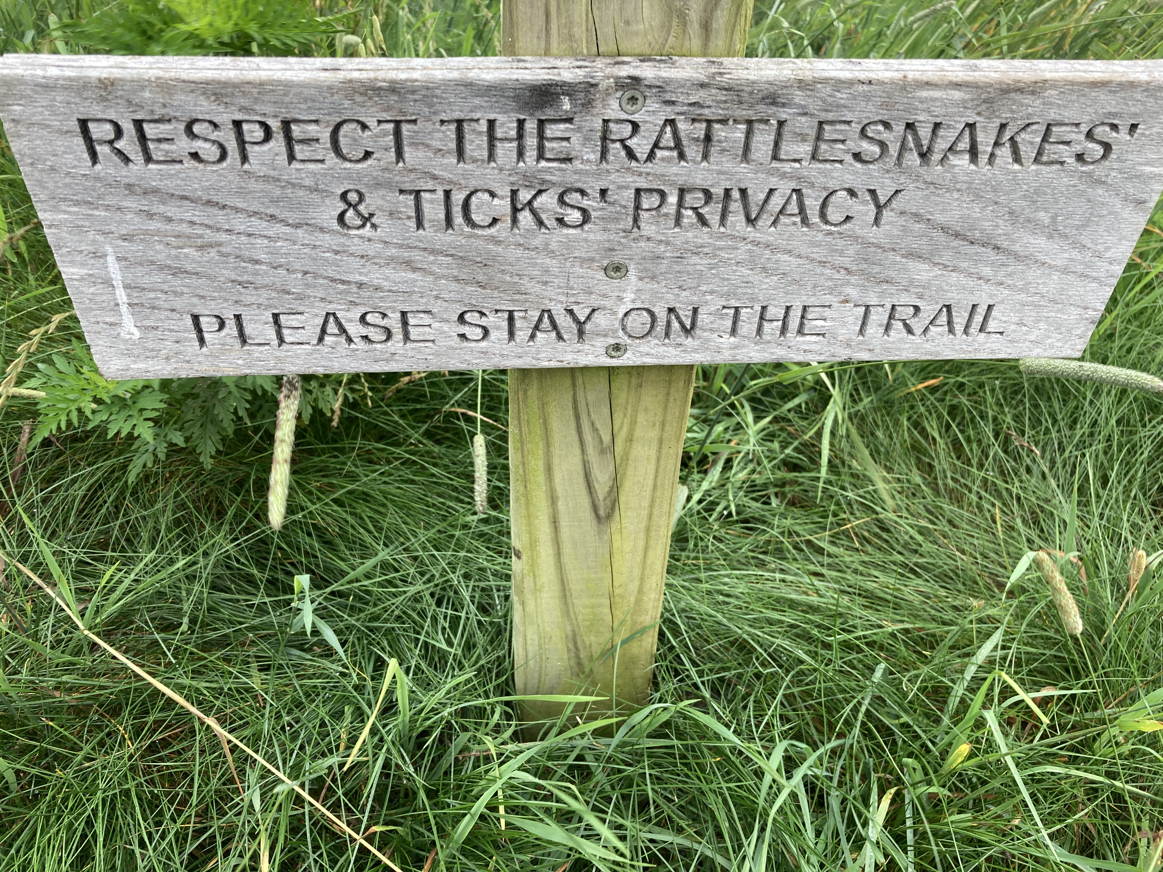
Something strange was up with the wildlife that day, as a huge black snake refuses to move off the trail a mile or so ahead and I am attacked by yellow jackets.
This is their home, I try to remember, even as we build ours among them and chip away at the margins of their habitat.
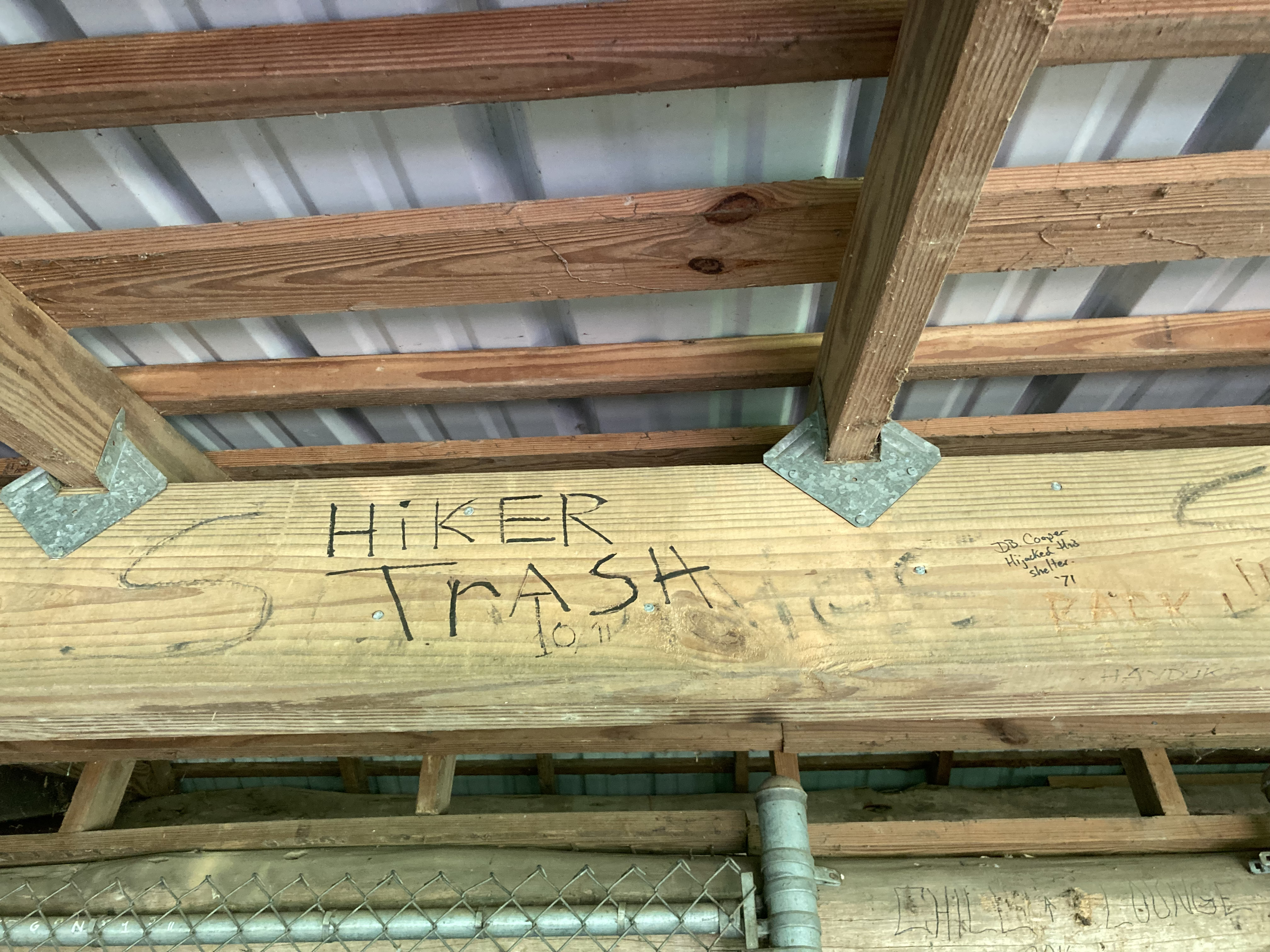
Still, shelter never looked so good.
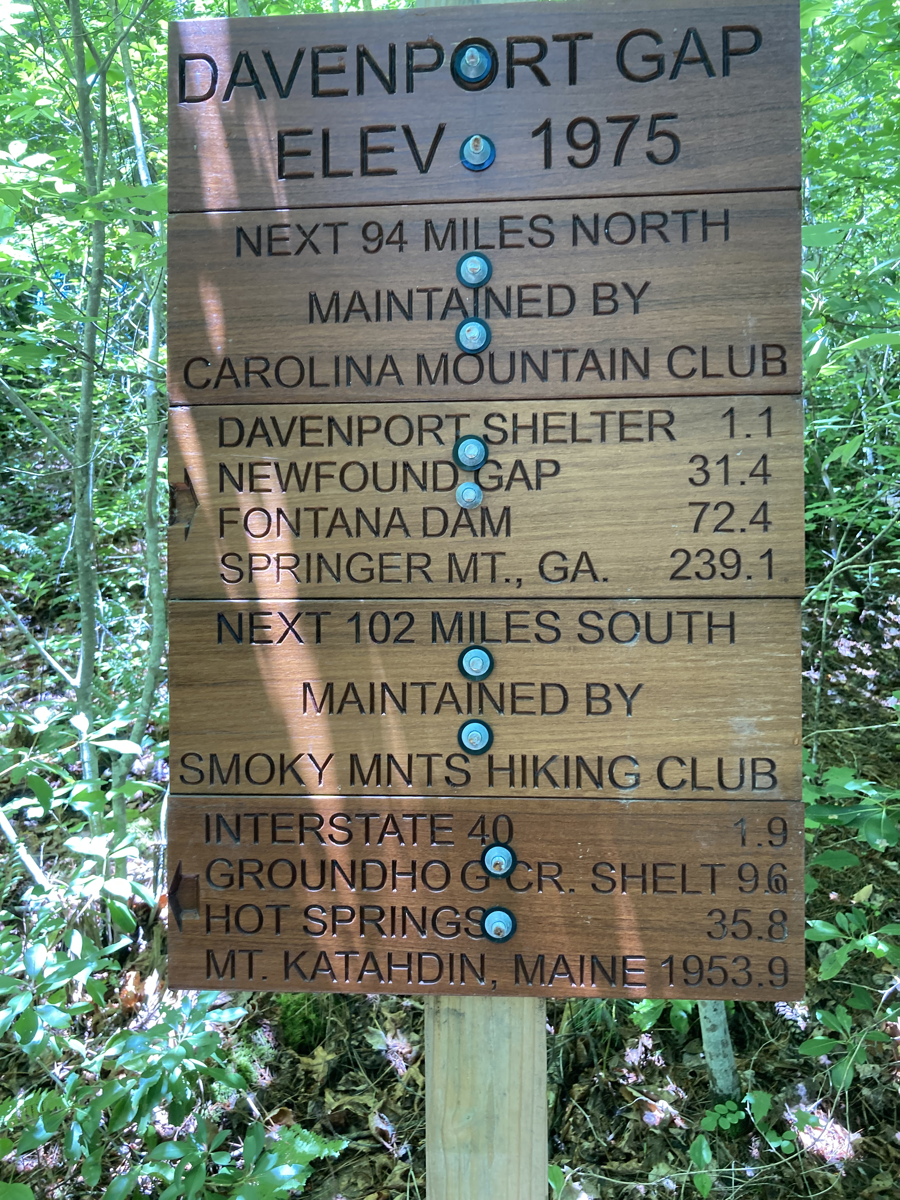
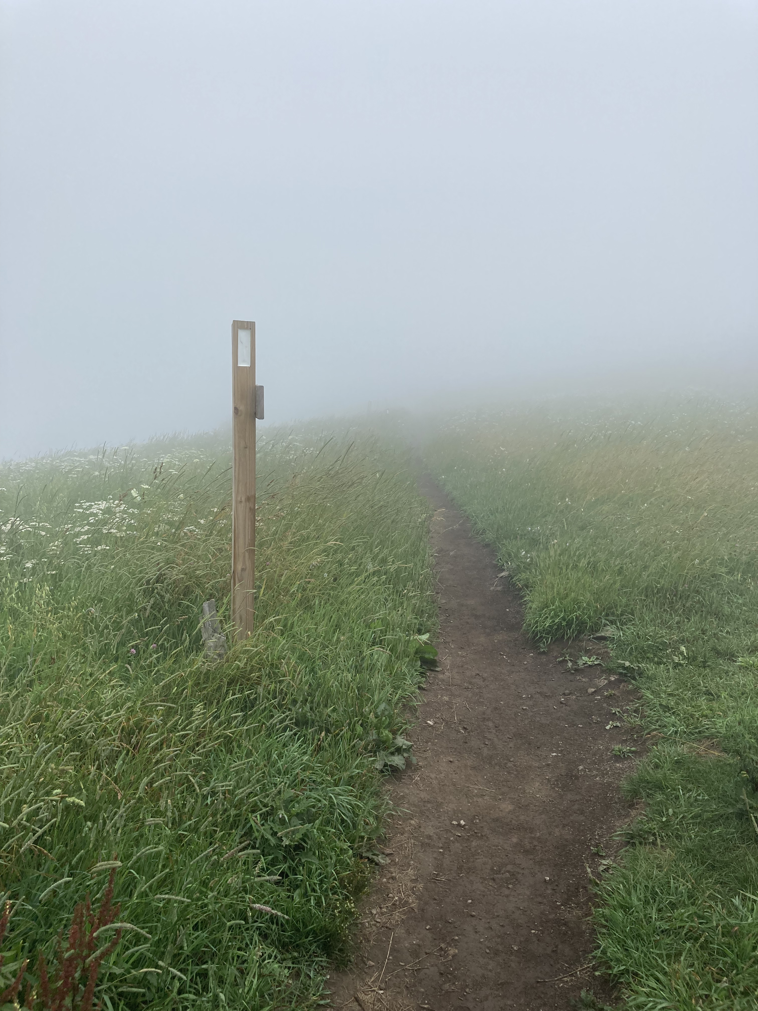
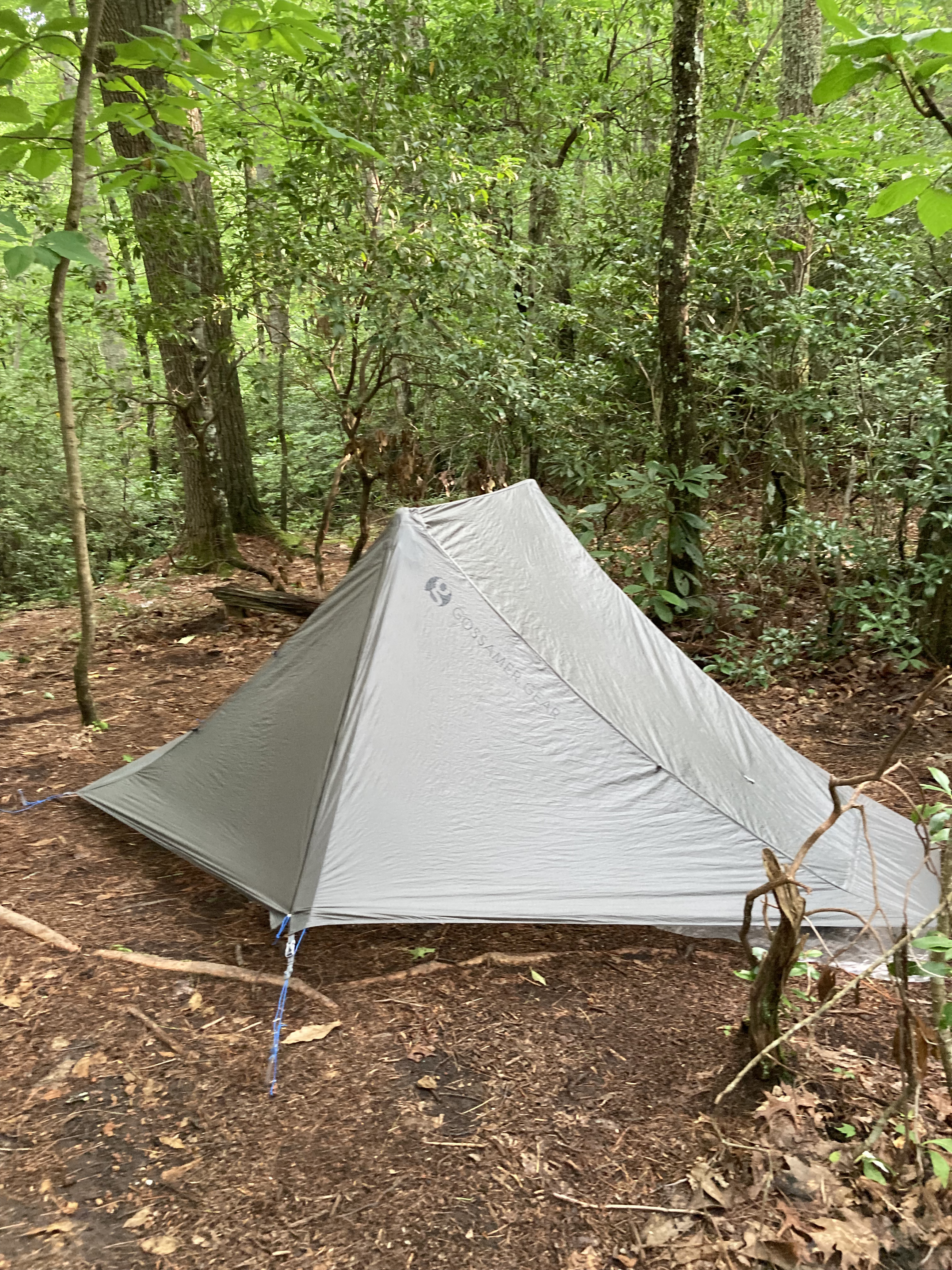
Day 15: Hot Springs to Little Laurel Shelter – 19.9 miles
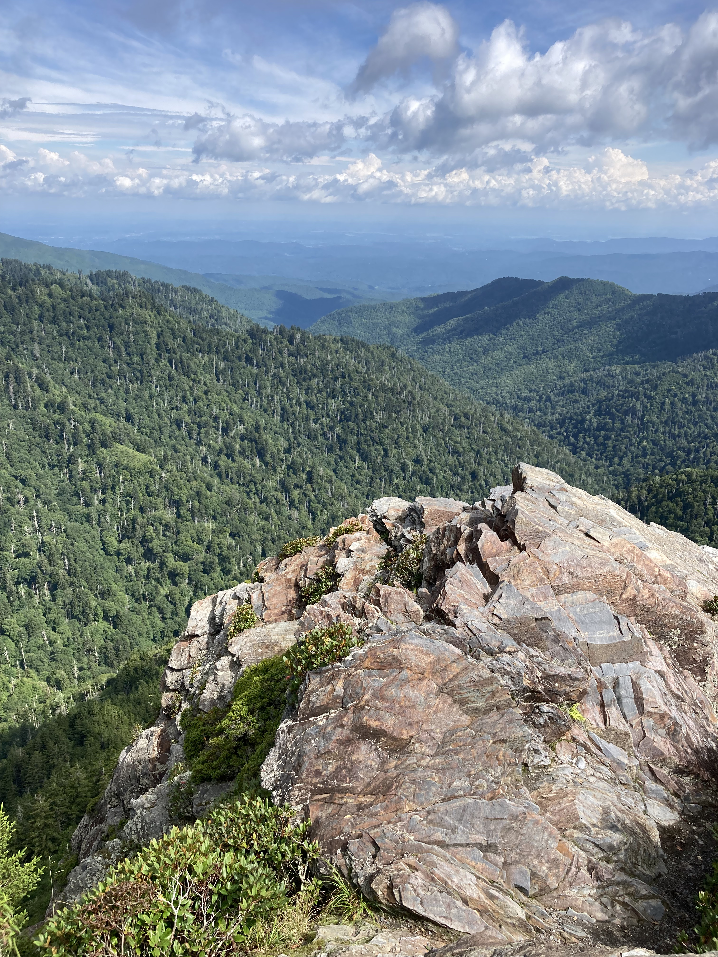
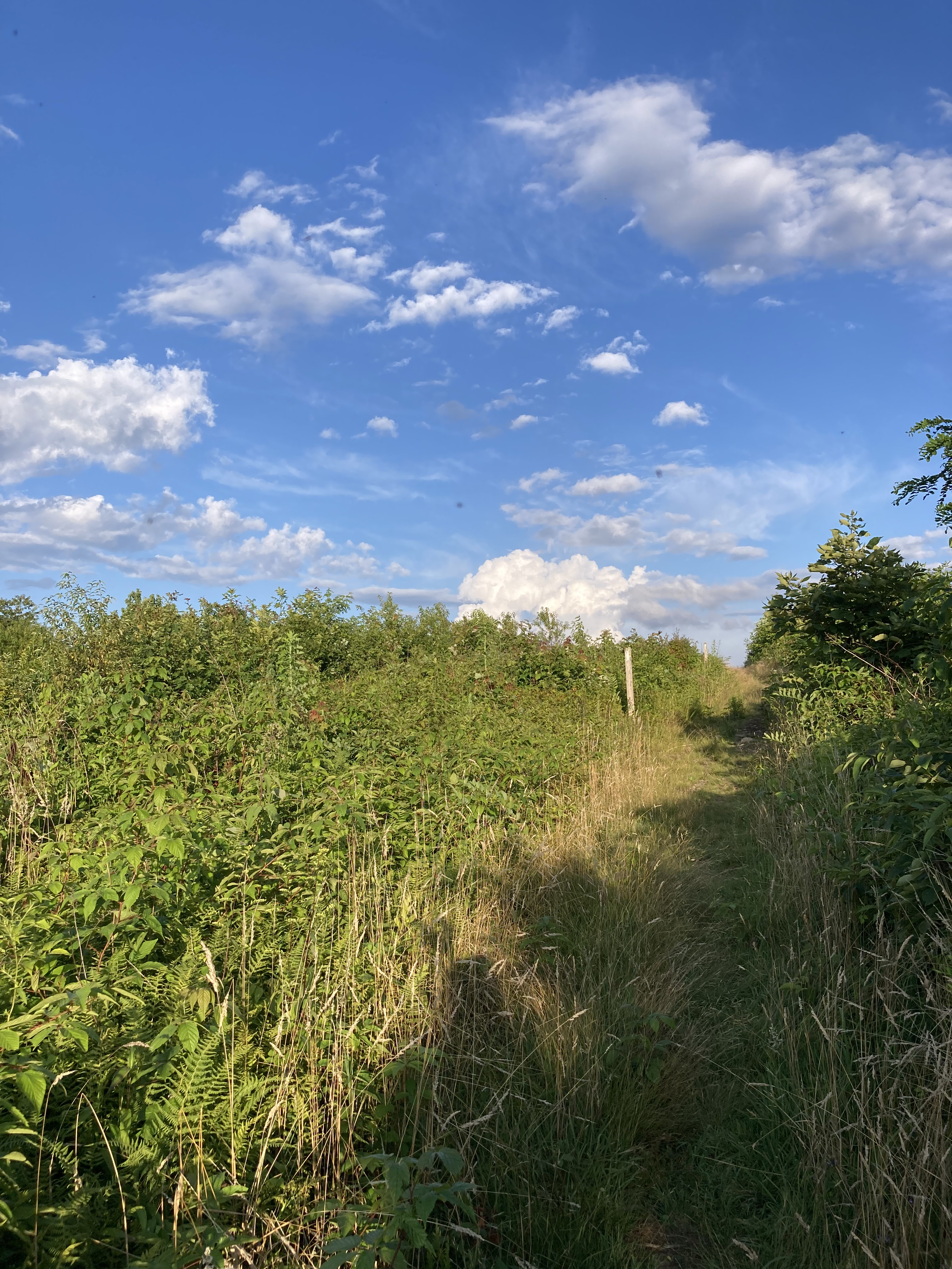
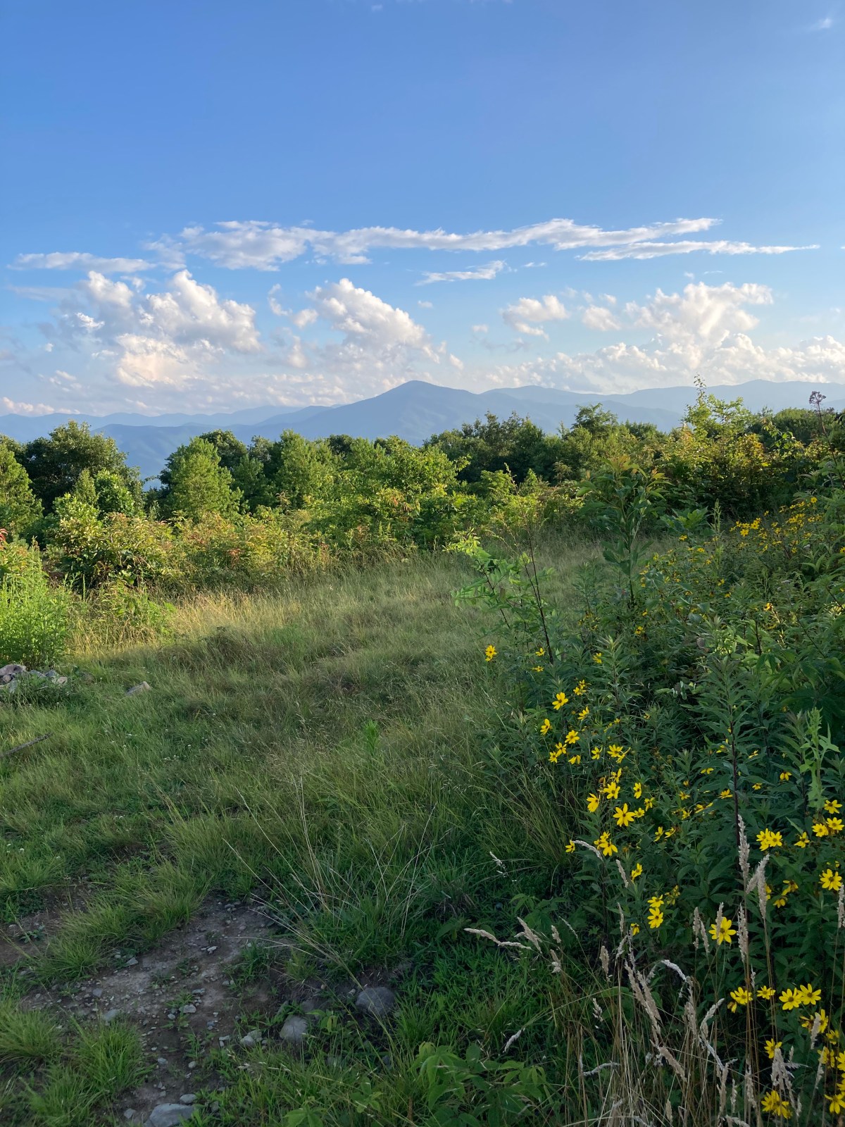
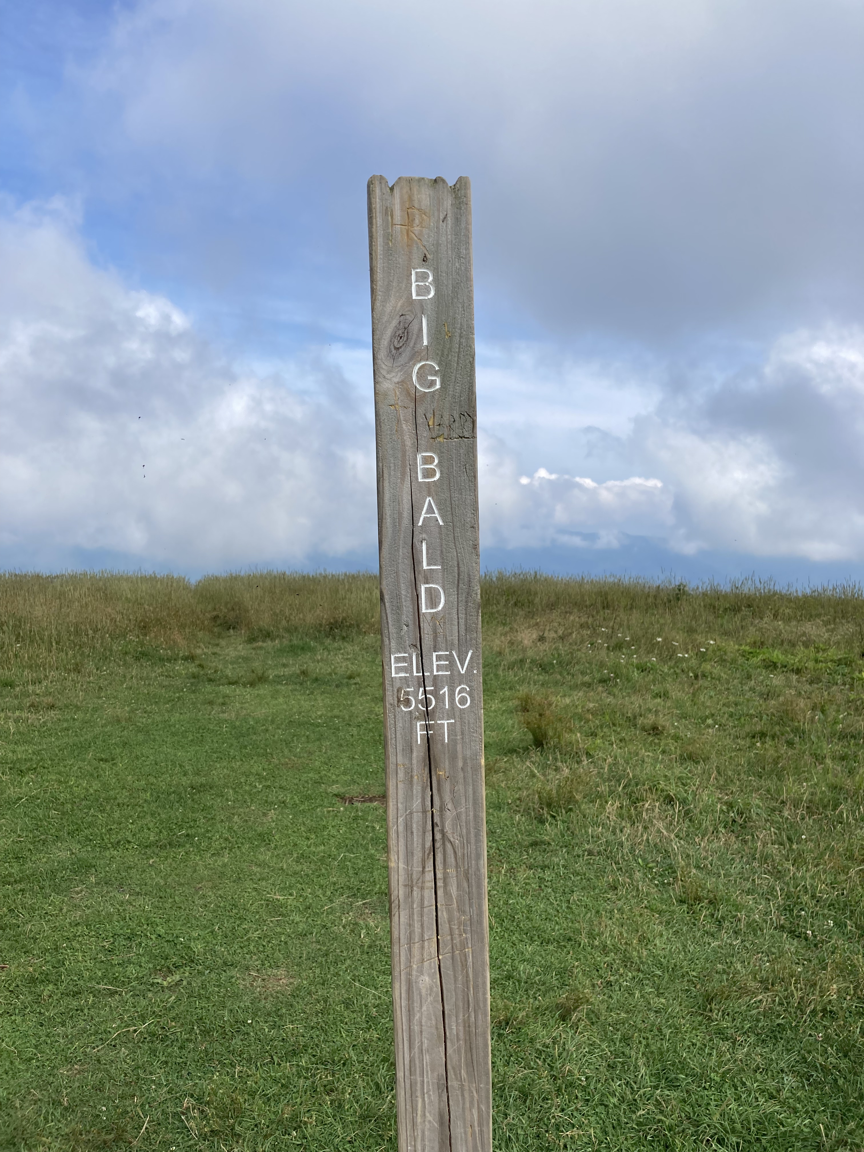
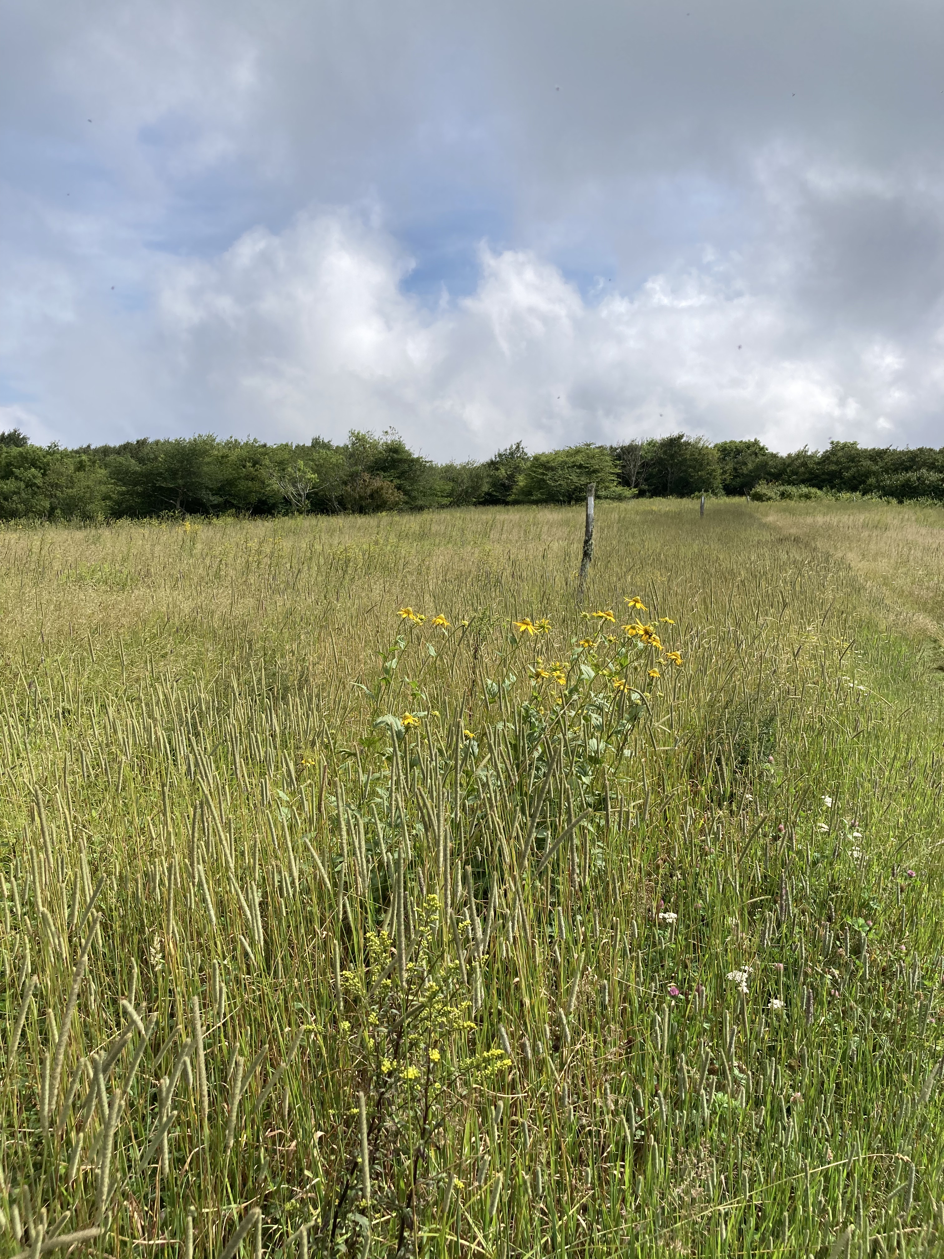
Balds
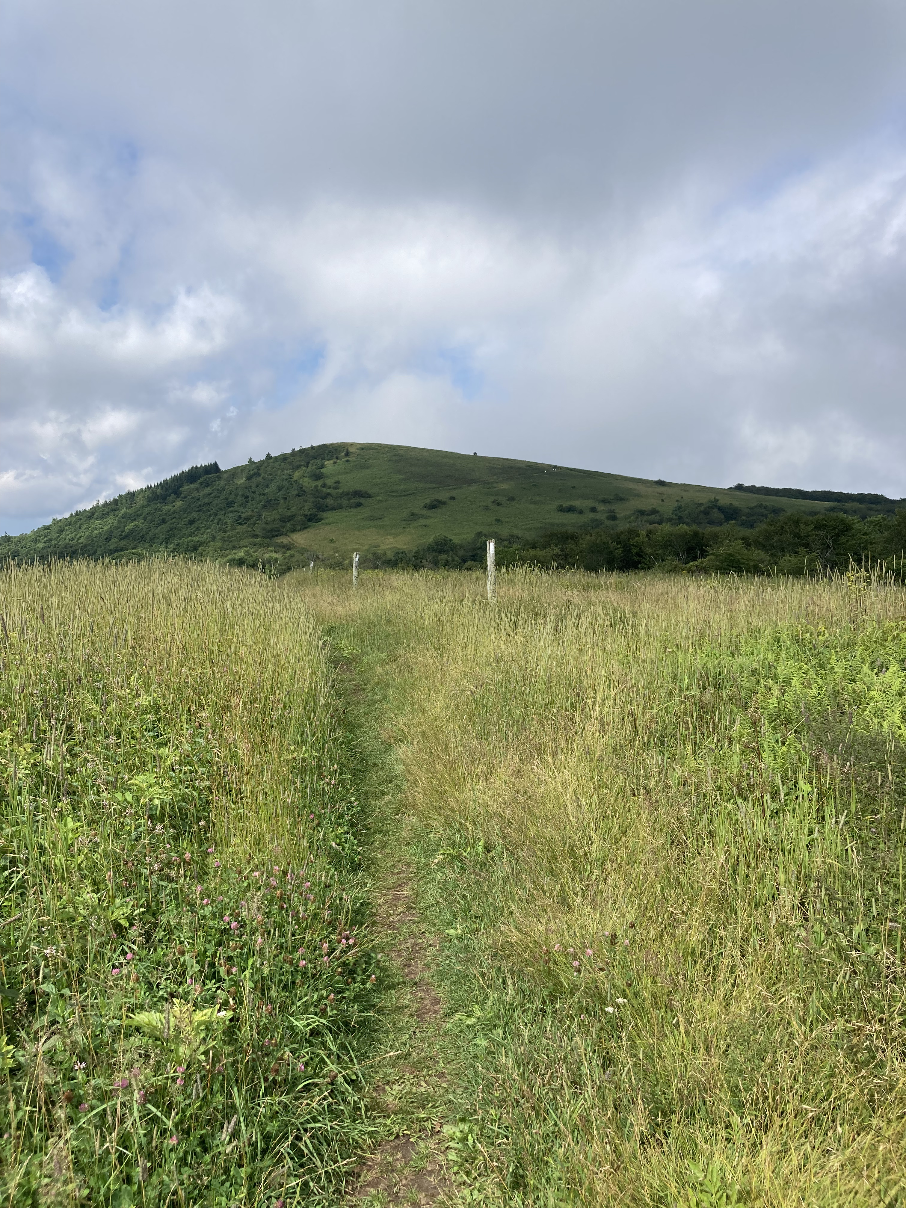
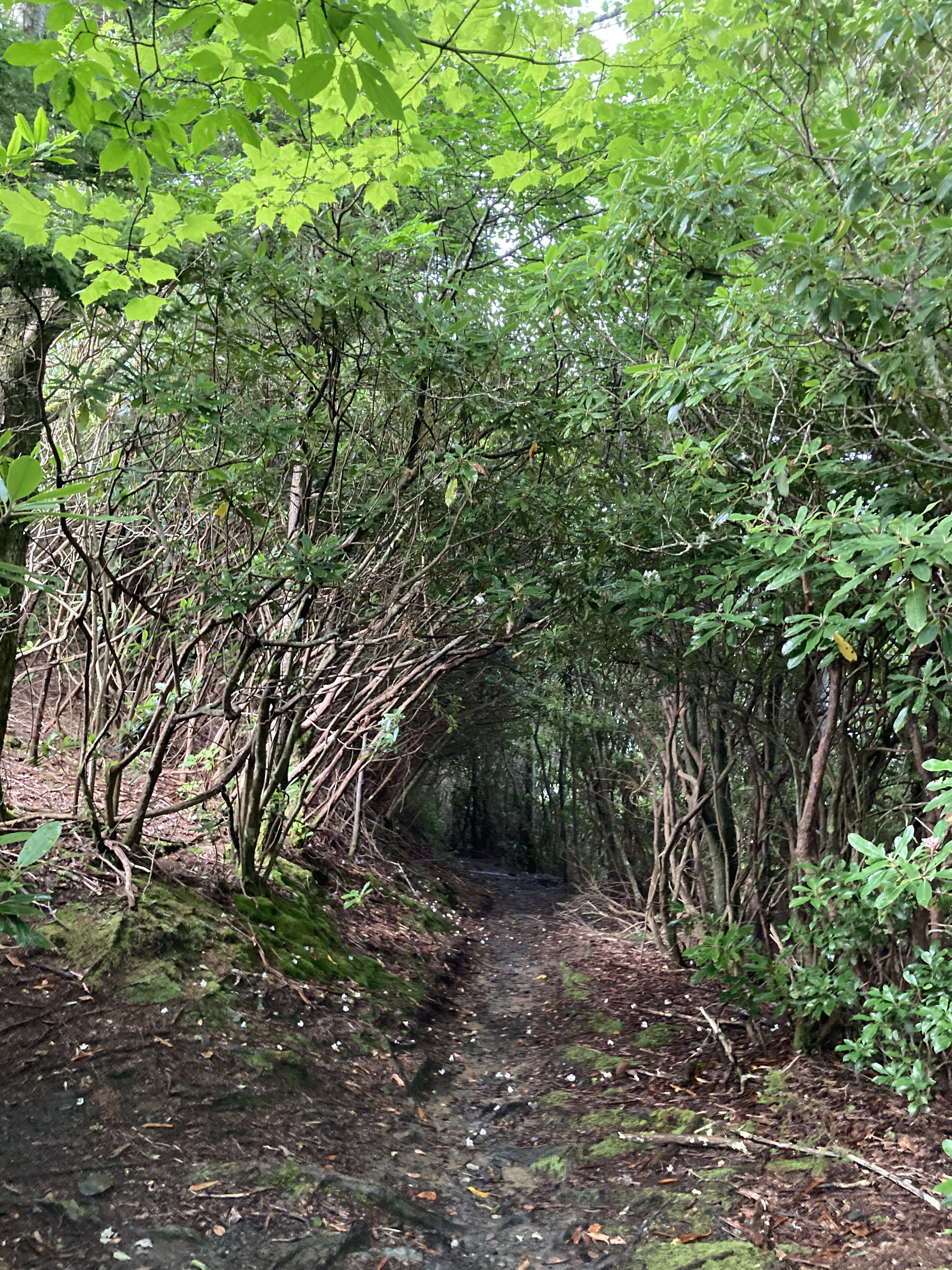
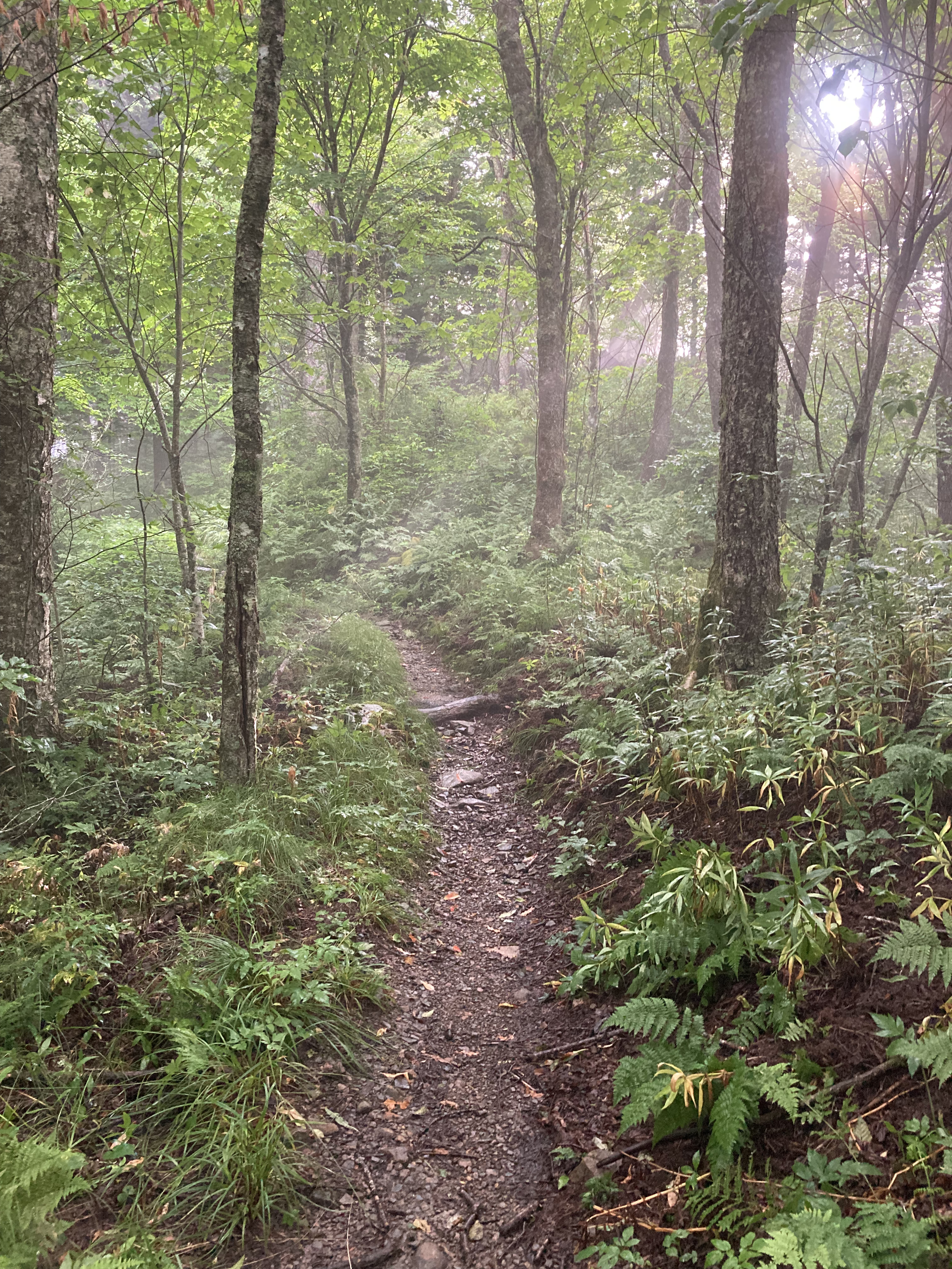
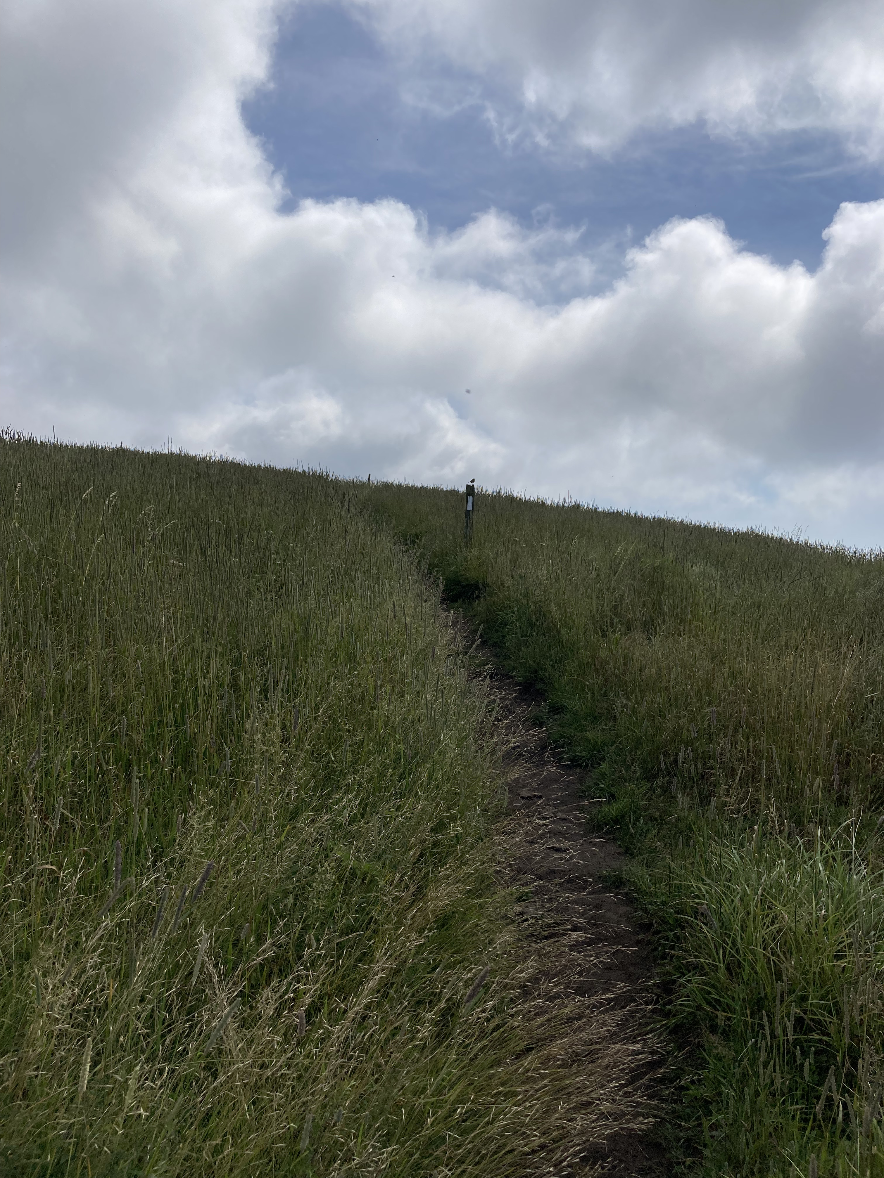
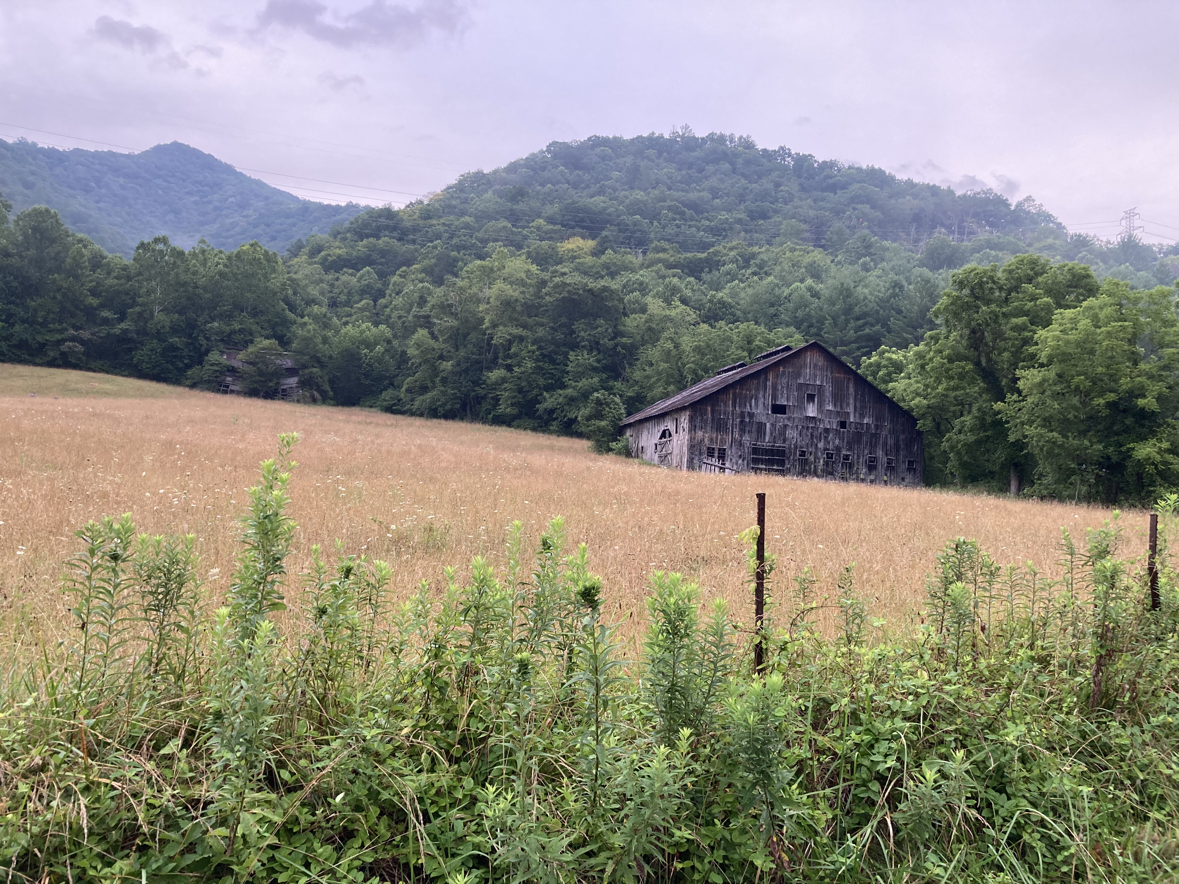
Closing in on 300 miles, the trail leads me gently in and out of the woods and up and over more beautiful balds.
Big Butt, Big Bald, Big Stamp: such pedestrian names for so beguiling a landscape.
Mountains over 4,000 feet in my native New Hampshire are spiny, severe; in contrast, the southern balds are subtle and soft, beckoning like lovers leaning in for a kiss.
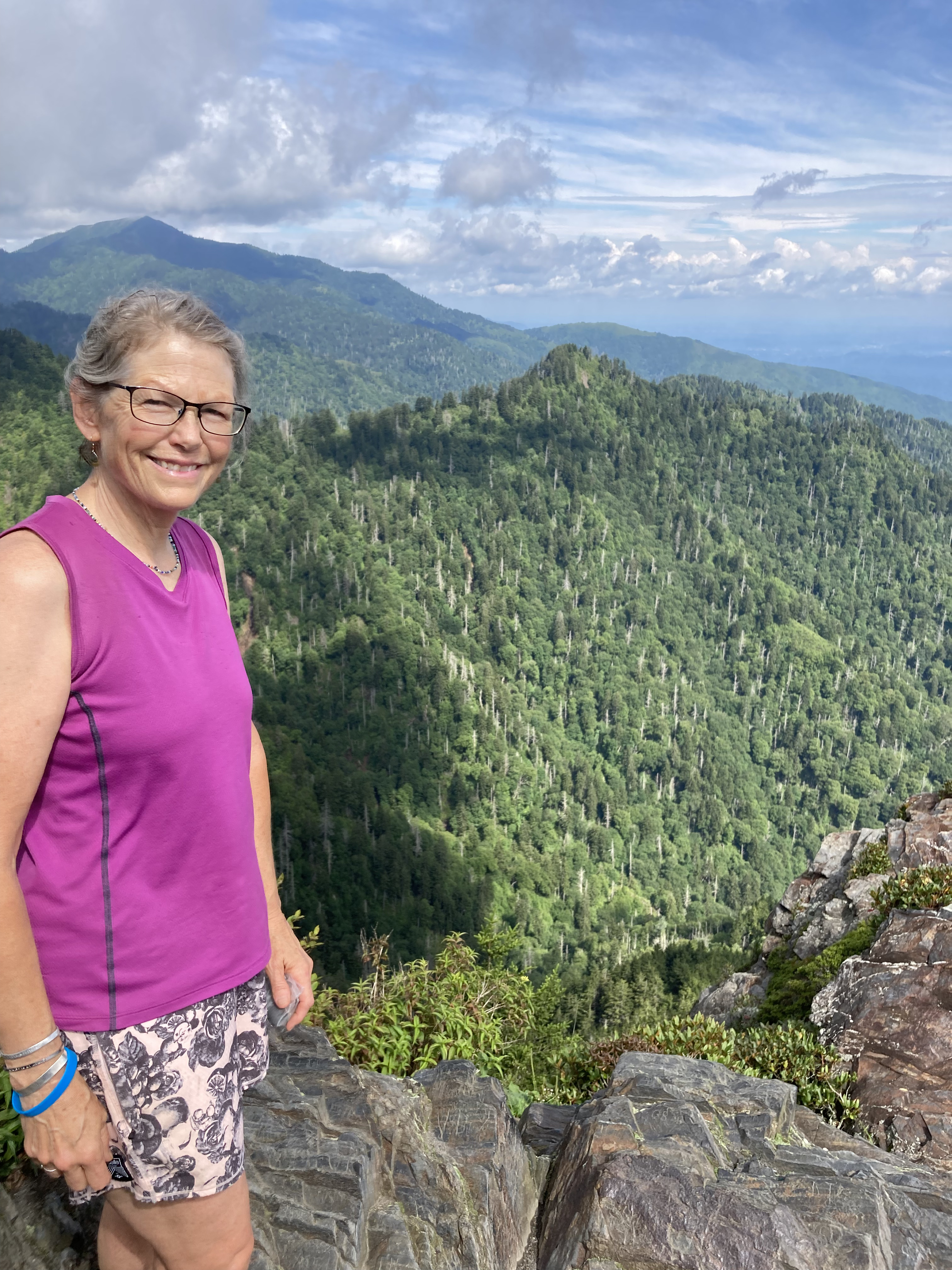
So, I lean in.
Linger.
Let wind and sky have their way.

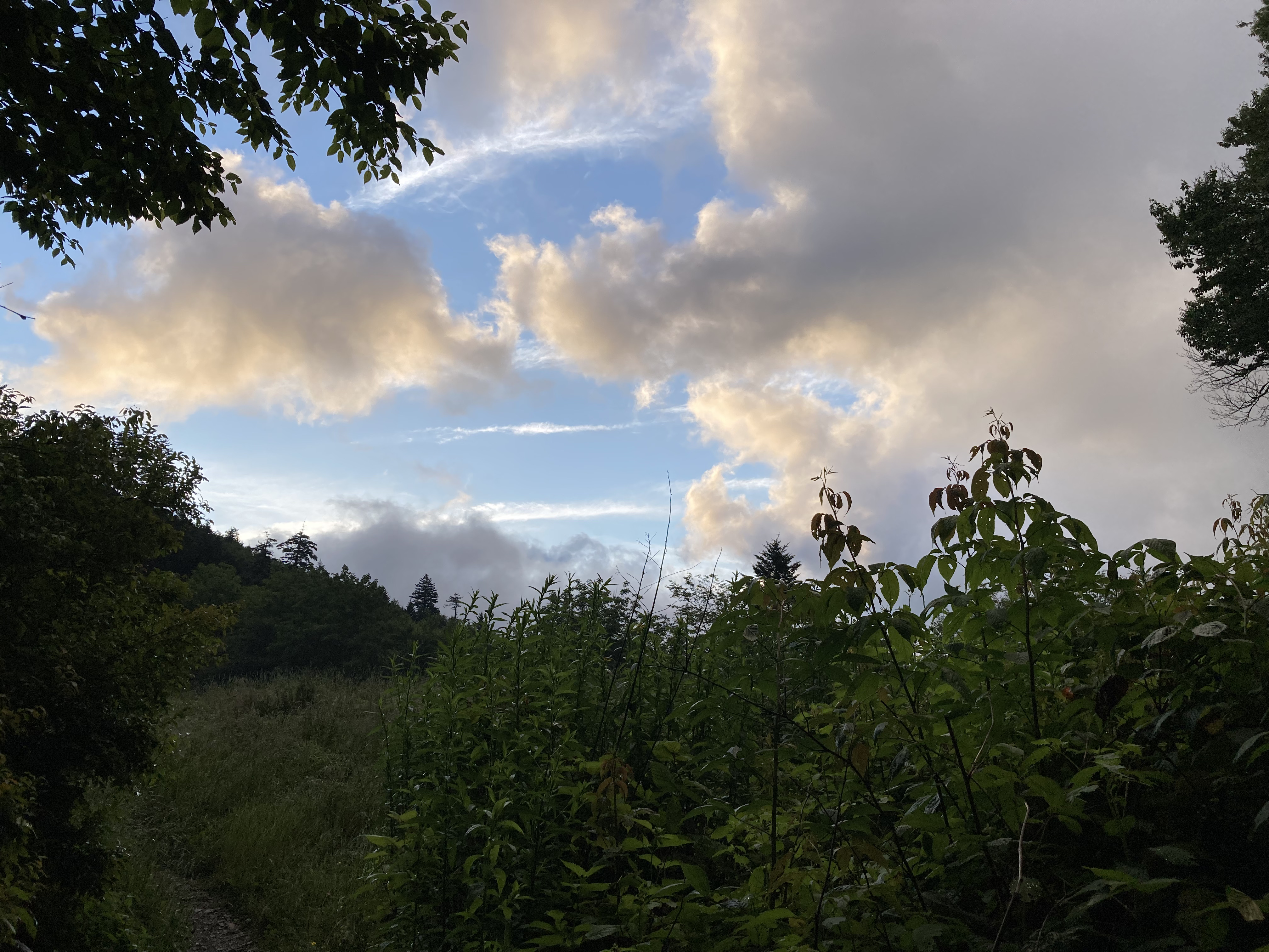
And just like that, the longing to leave evaporates into cloudy mist.
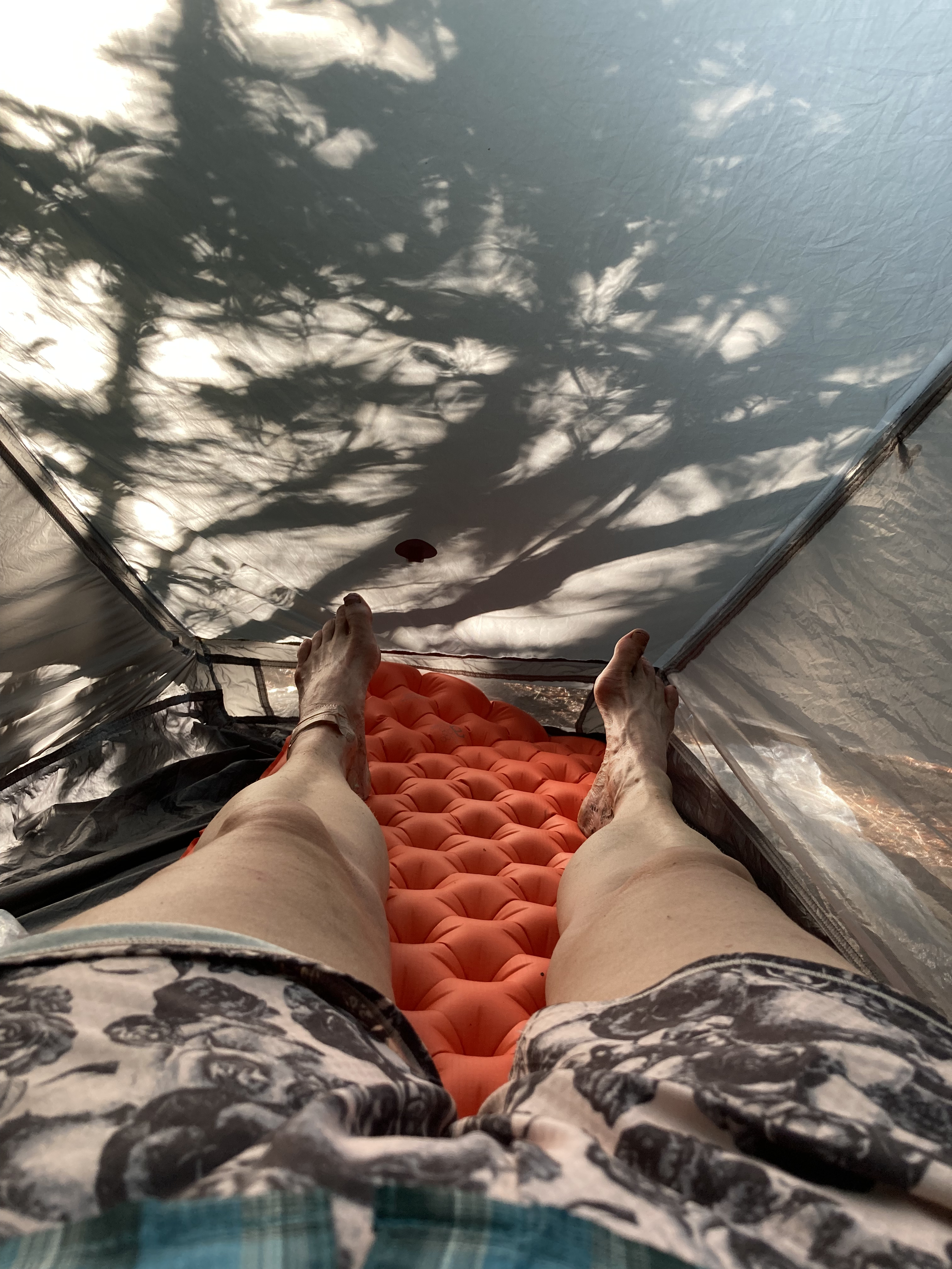
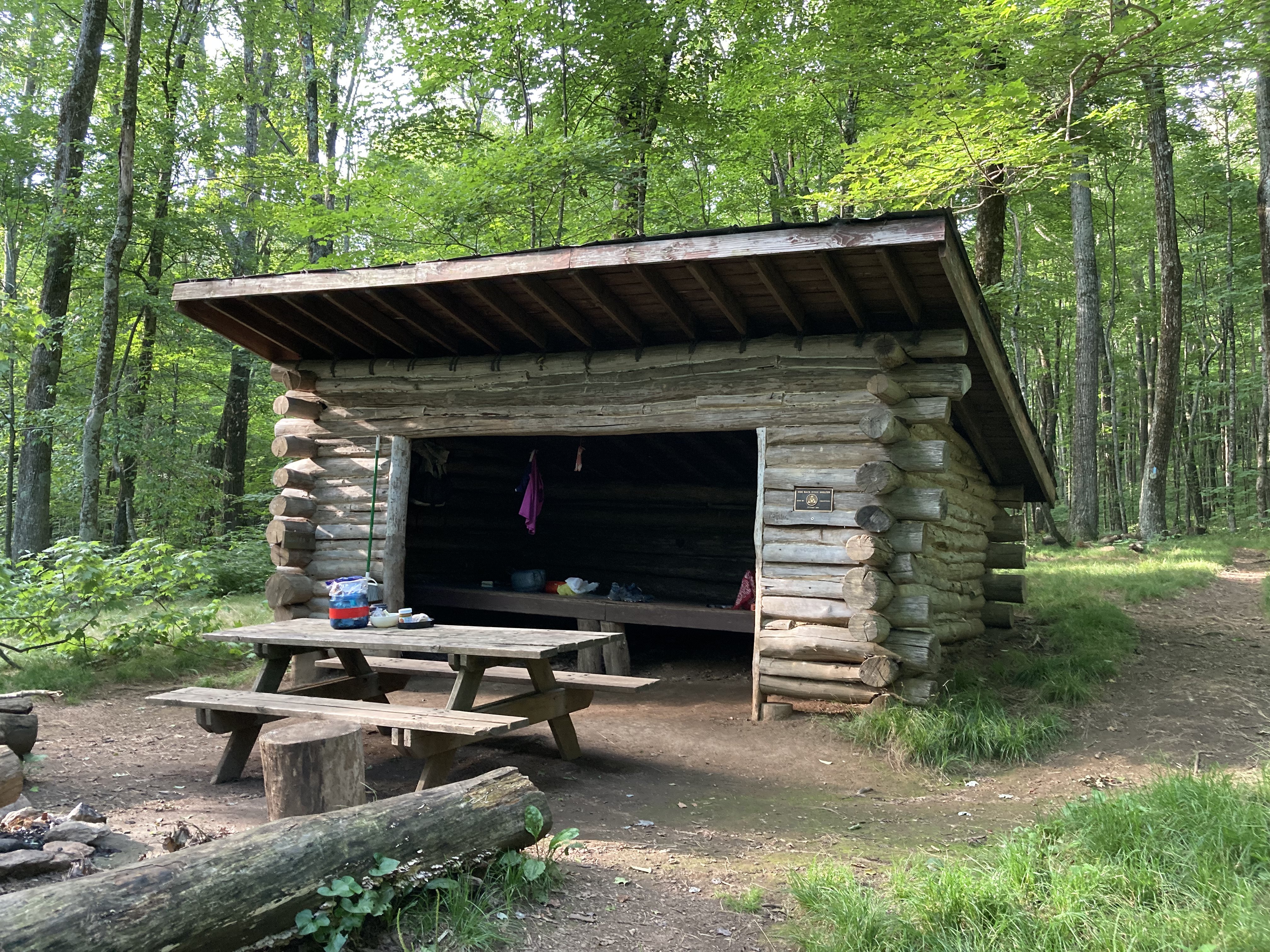
Day 16: Little Laurel Shelter to Hogback Ridge Shelter – 23.3 miles
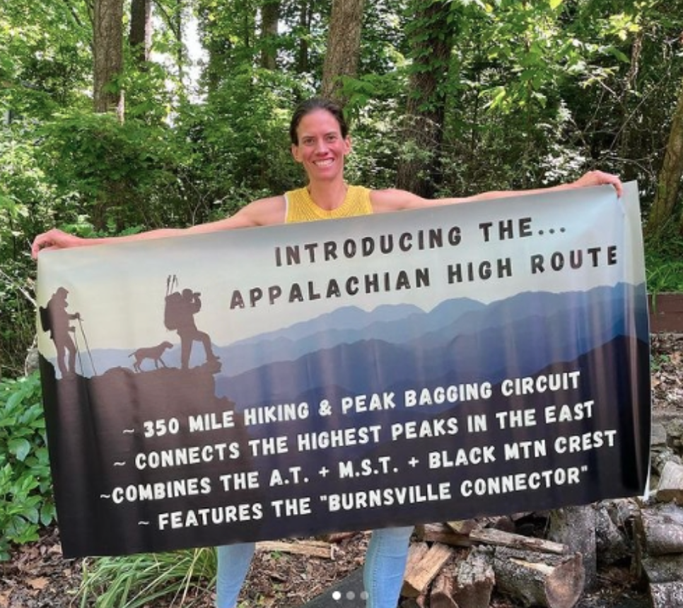
The Burnsville Connector and How It Nearly Broke My Heart
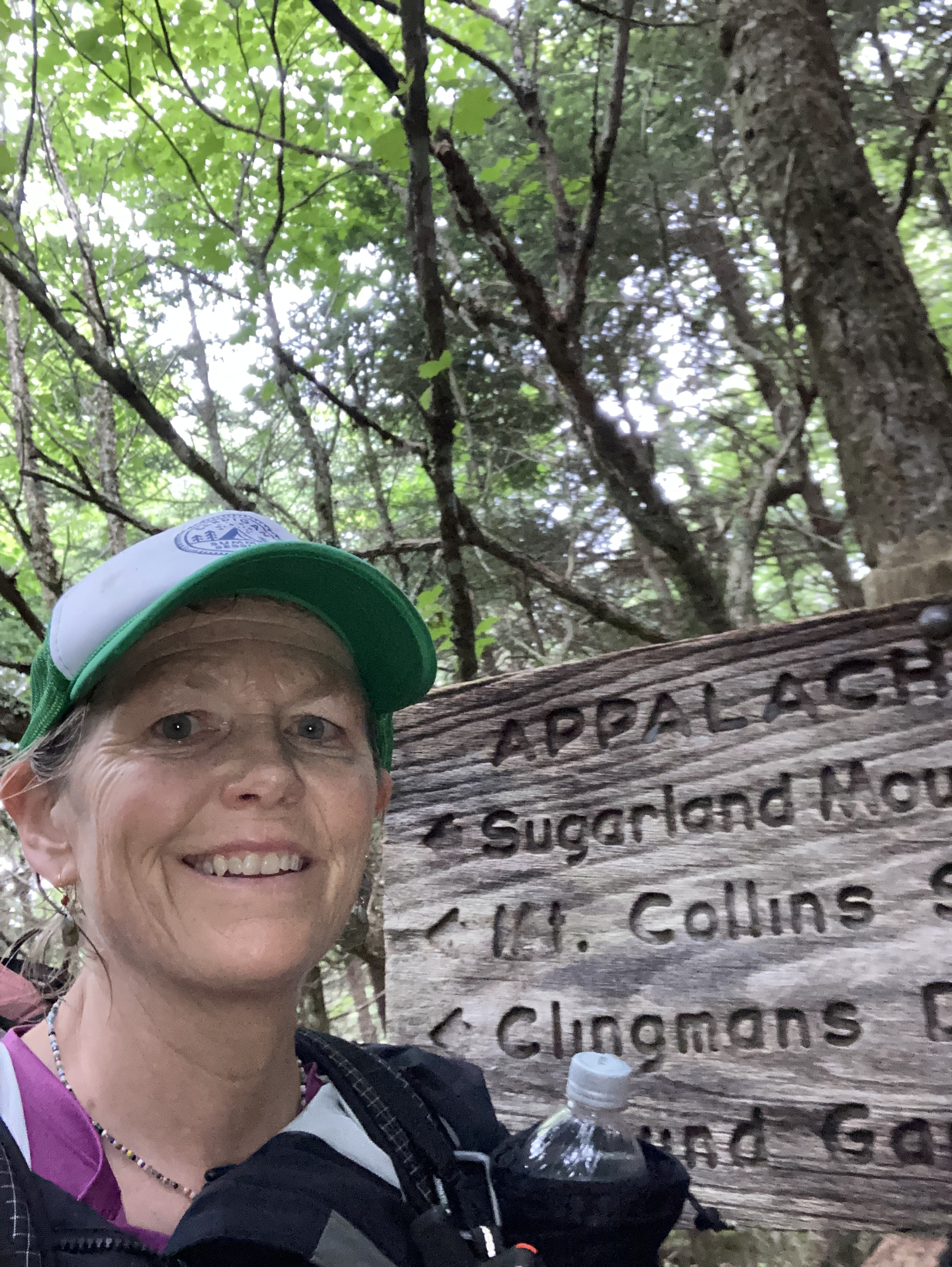
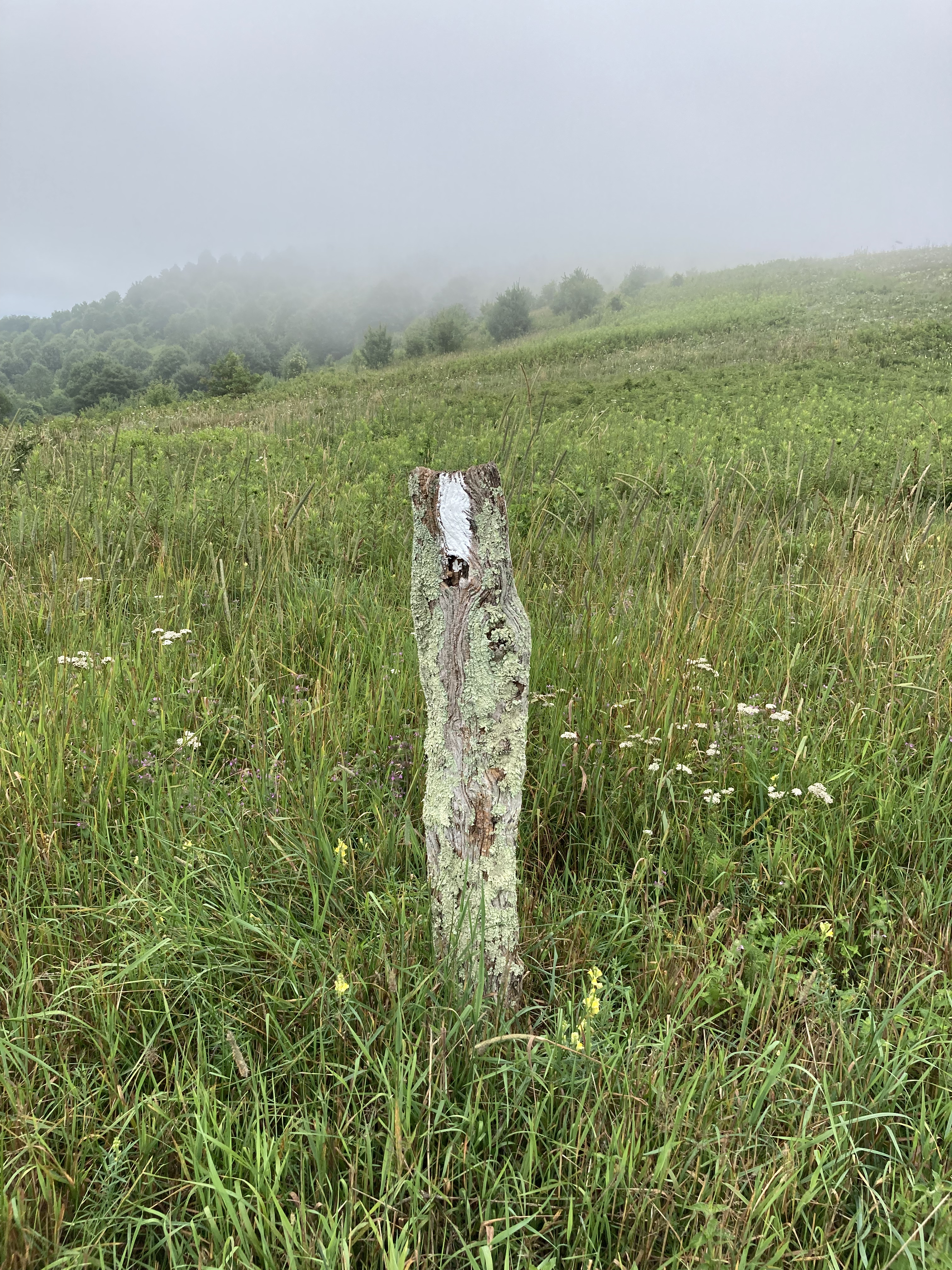
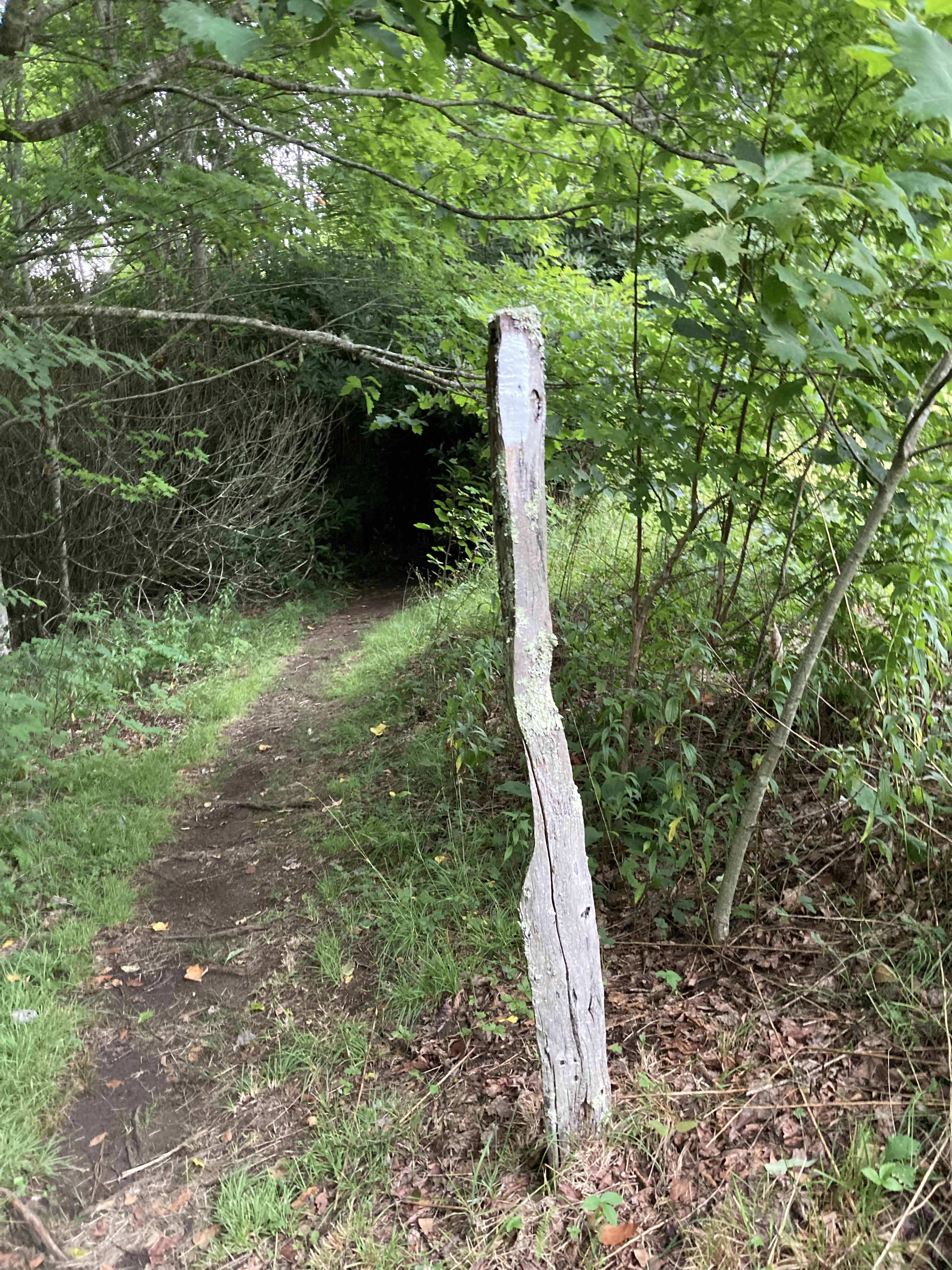
I chose to walk the Appalachian High Route in a clockwise direction, starting in Burnsville, North Carolina, which means my hike will end on the last 22 miles of the newly mapped Burnsville Connector.
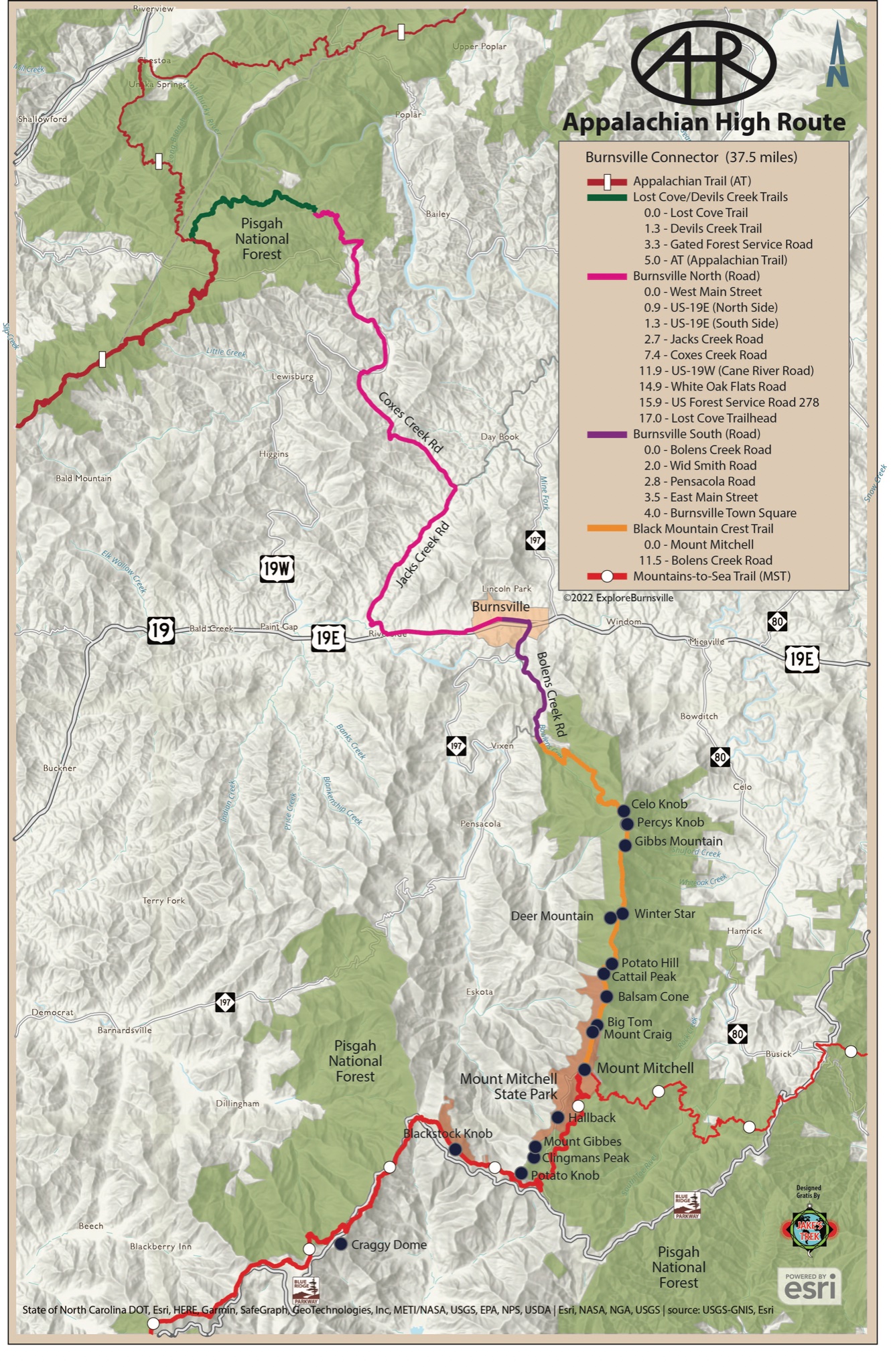
If all goes to plan, some 17 or so miles ahead, the AT will pop out onto Flat Top Road and I will string together some forest service roads, some trail, and finally some pavement to return to town.
Back in Balsam, where I picked up a resupply package the week before, a fortuitous meeting with a kind gentleman has made finding these turns exponentially easier.
Having initially planned to use the fringes of the FarOut app, Runkeeper, and Google maps, I rejoice as this angel introduces me to CalTopo, a more precise mapping app. I’ve taken pictures of the sections I am about to encounter, but doesn’t everything always look so much simpler on a screen?
Let me emphasize that the AHR is new and Davis, Jake Blood, and others who were instrumental in creating it are volunteers, working out of sheer love for these cherished mountains.
It appears I was the first to thru-hike the route, so if there happened to be any kinks that might need to be worked out, I was probably going to be the one to find them. That being said, I also have a propensity to get lost, so the mistakes I made on the Burnsville Connector were also my own.
For days I had been anxious about finding the turns on the Connector, but I am expectant waking up on Day 17 that the research I have done will translate into finding my way.
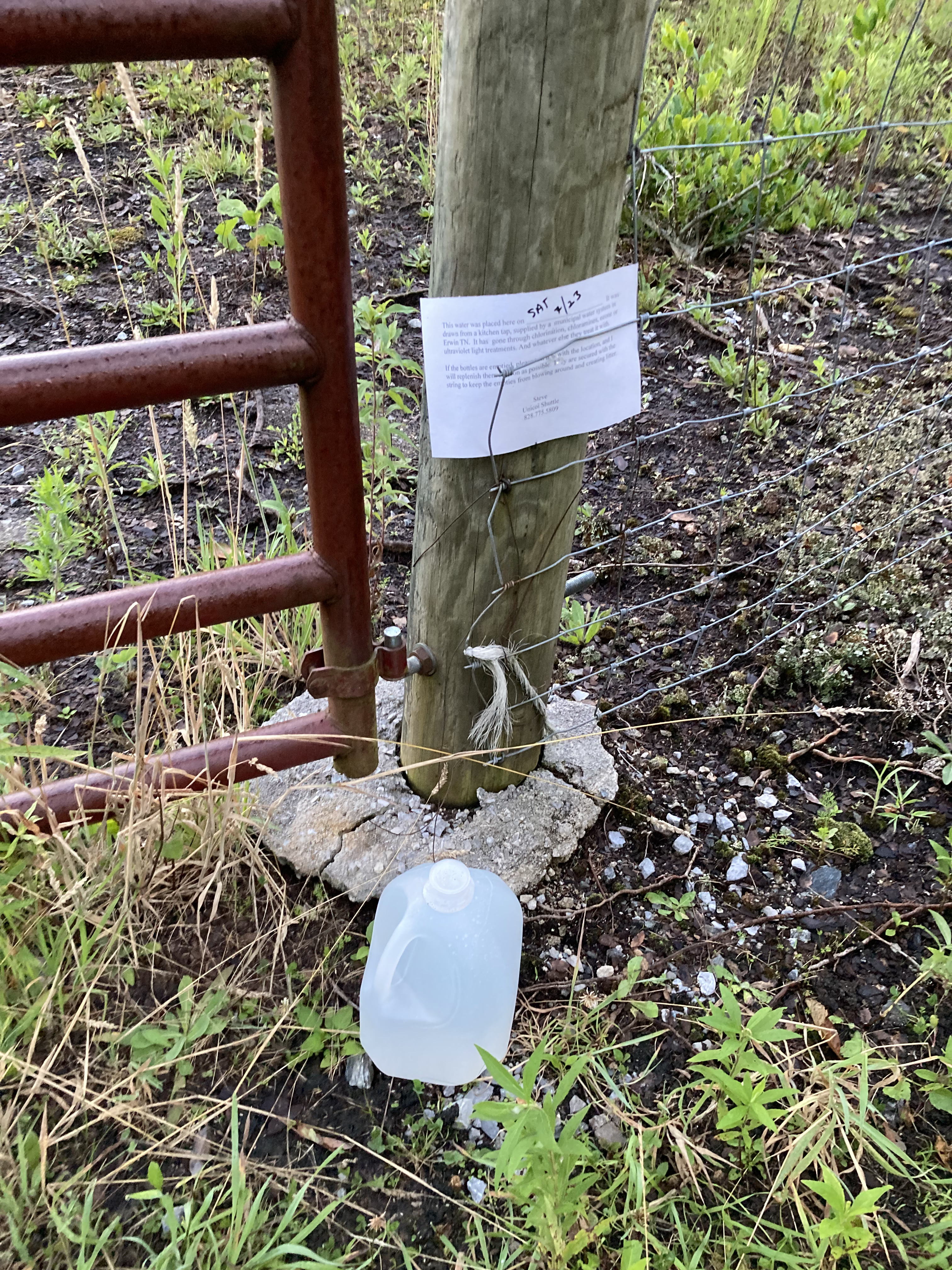
Sunrise finds me at Sam’s Gap, where kind Steve from Unicoi has left water. Many of the road crossings boast Steve’s signature water, and it’s trail angels like him that make some of the onerous chores on a thru-hike – finding, gathering, and filtering water being one – less onerous.
Thanks, Steve.
It’s Sunday and the trail runners are out. It feels good to talk to someone, anyone, even if it’s just the exchange of quick hellos.
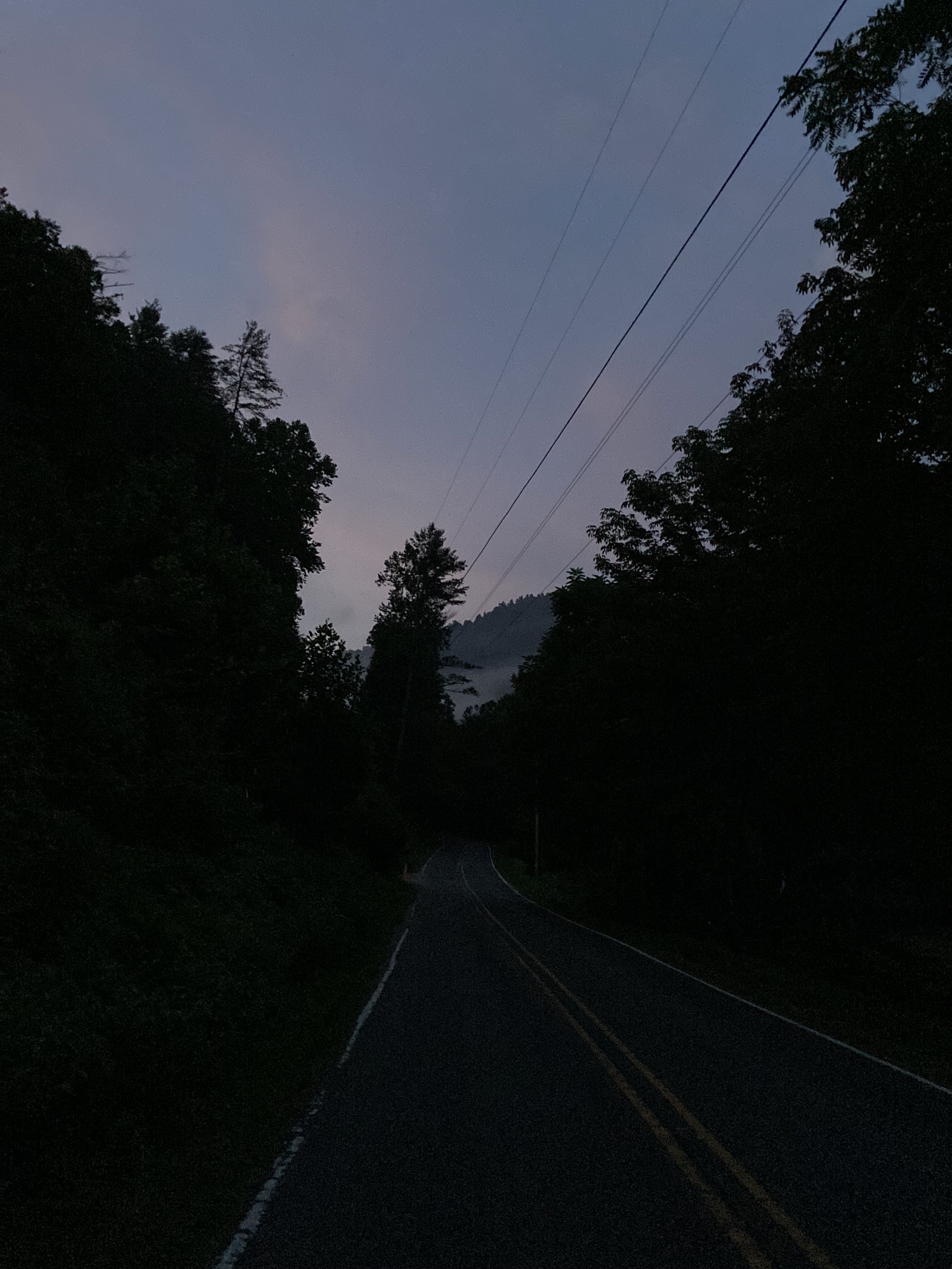
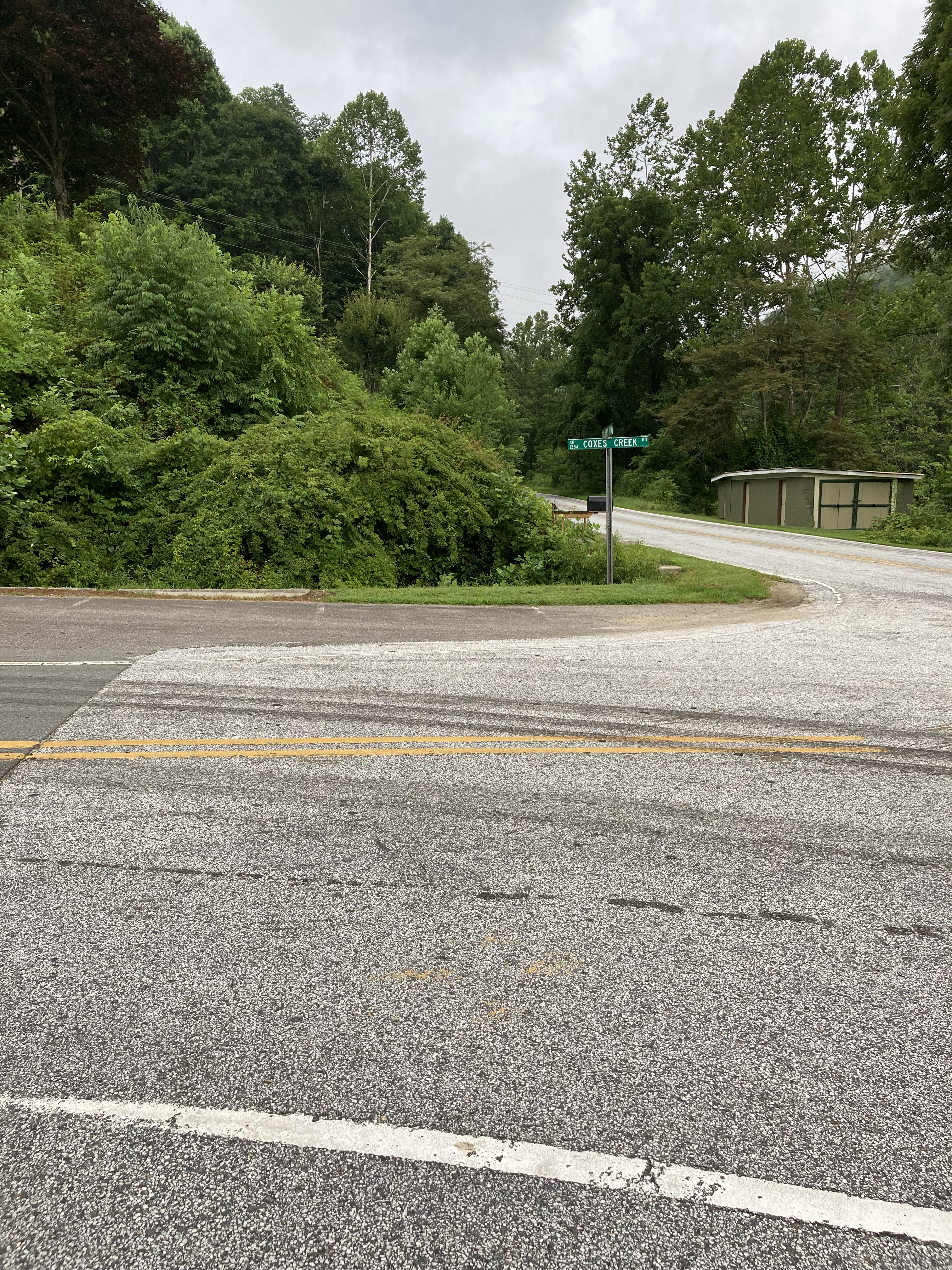
Of course, another storm rolls in late in the afternoon. I’m soaked in the short time it takes me to pull out my rain jacket, and worry gnaws again as I wonder if I can keep my phone and the paper directions I’ve printed from Davis’s website dry when I get to the first intersection, Devils Creek Gap.
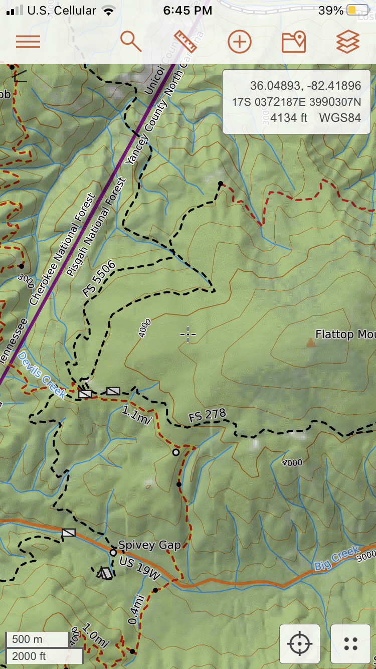
I’m looking for “a gated/unmarked Forest Service Road from the intersection of the AT and Flat Top Road.” Hmm. There are two gated FS roads when I reach Flat Top Road, thankfully drying out after the storm has passed. One is marked “FS 5506.” That sounds marked to me.
So I take the other, as just as fair, noting how after a hairpin turn, it will join FS 5506 and take me (pleaseohplease) to the Devils Creek Trailhead.
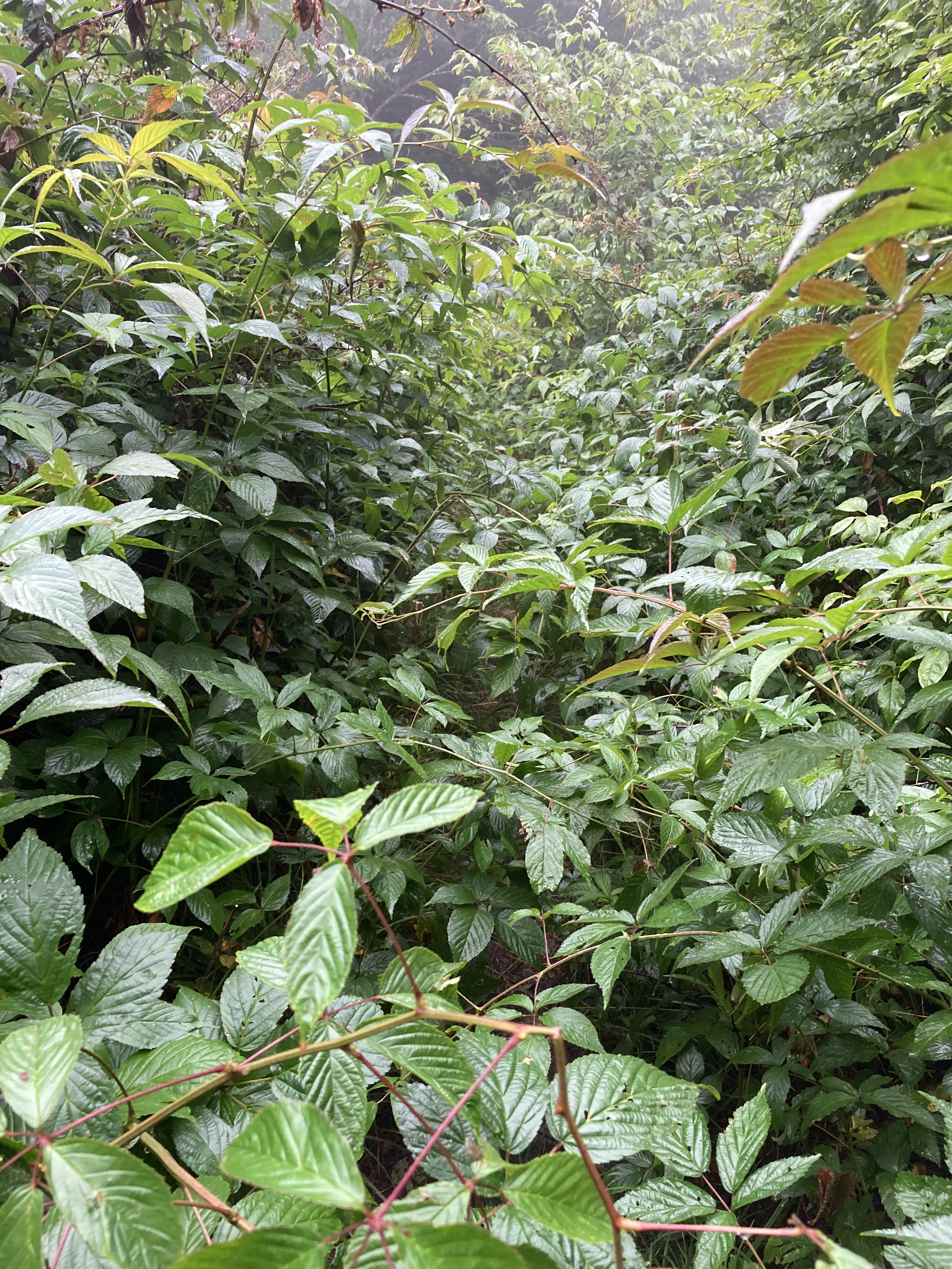
Right from the start, this feels wrong.
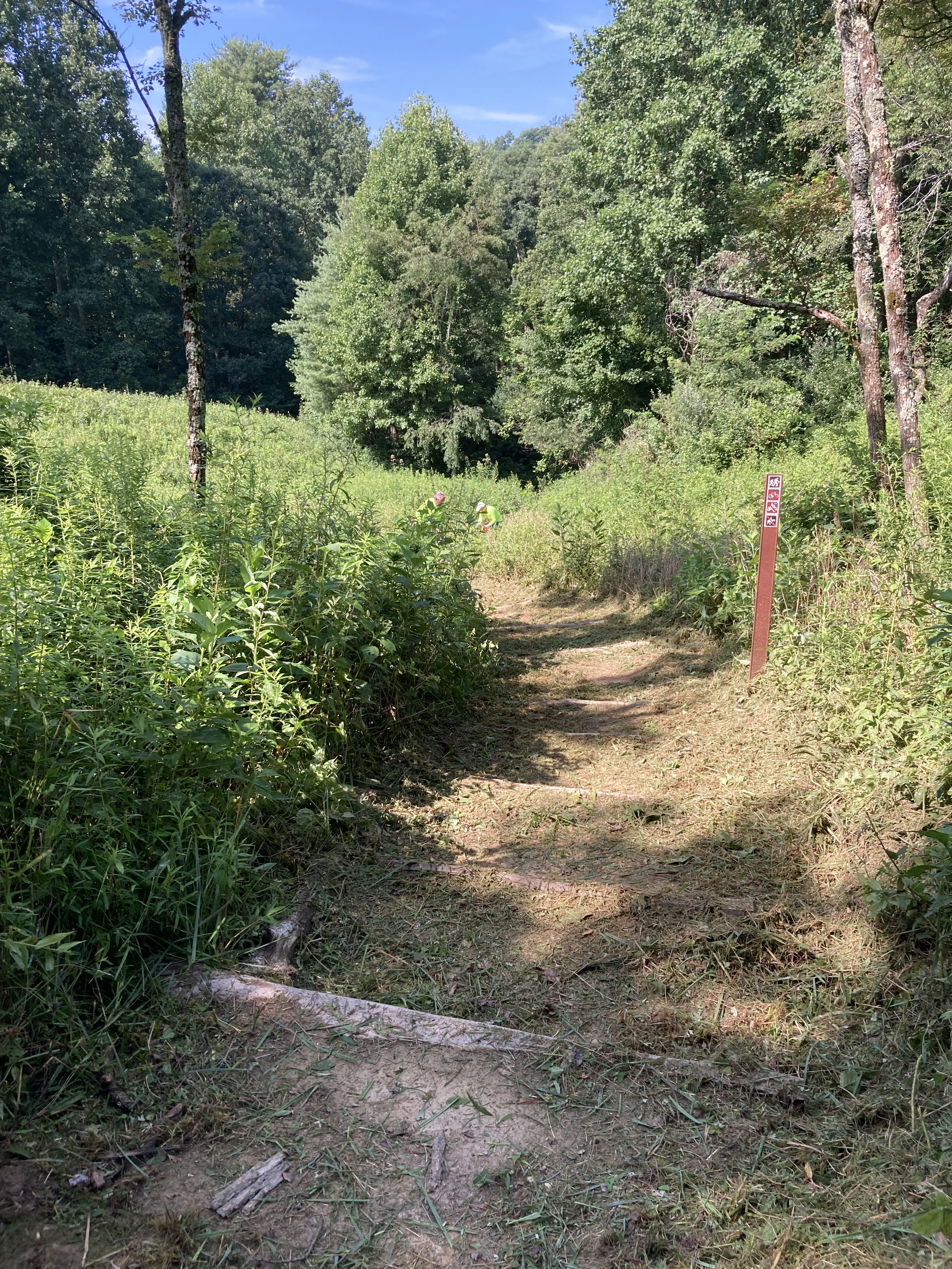
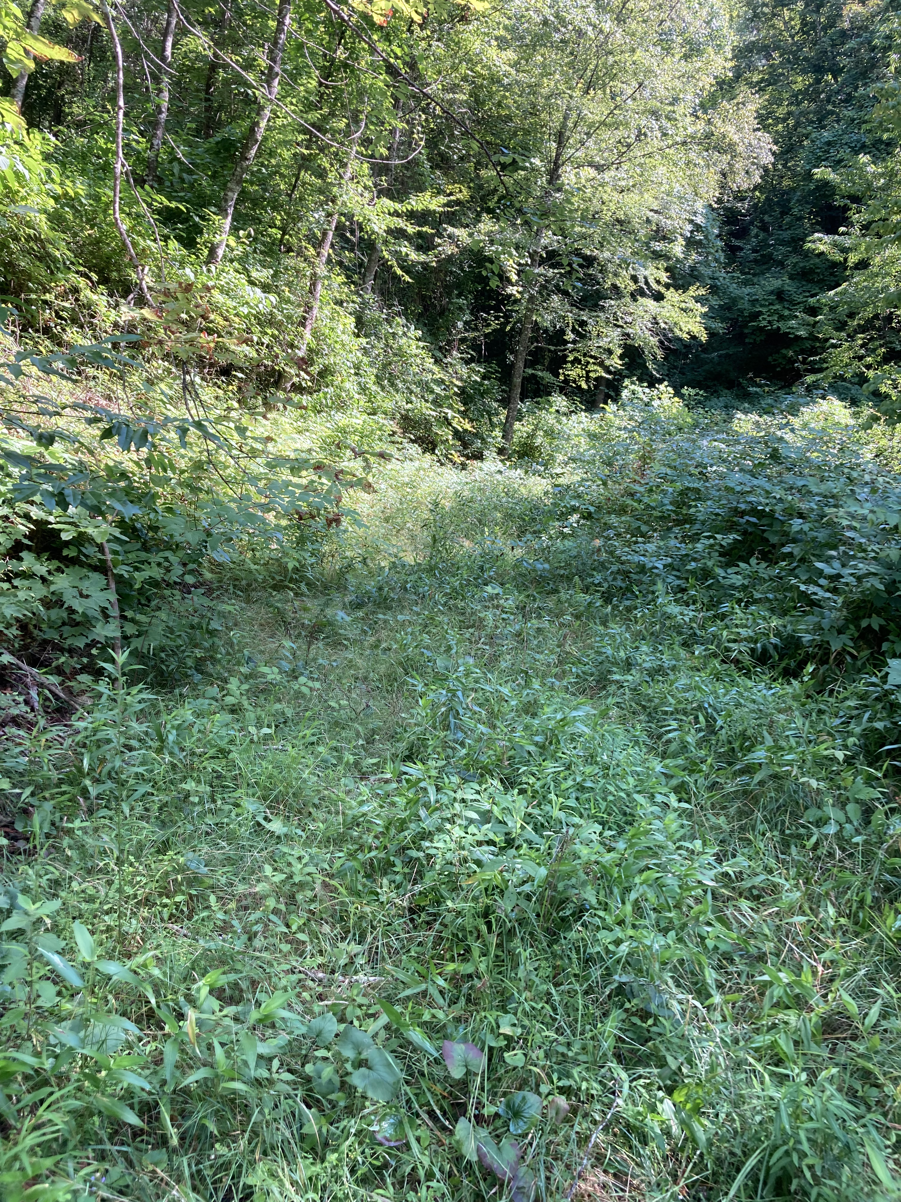
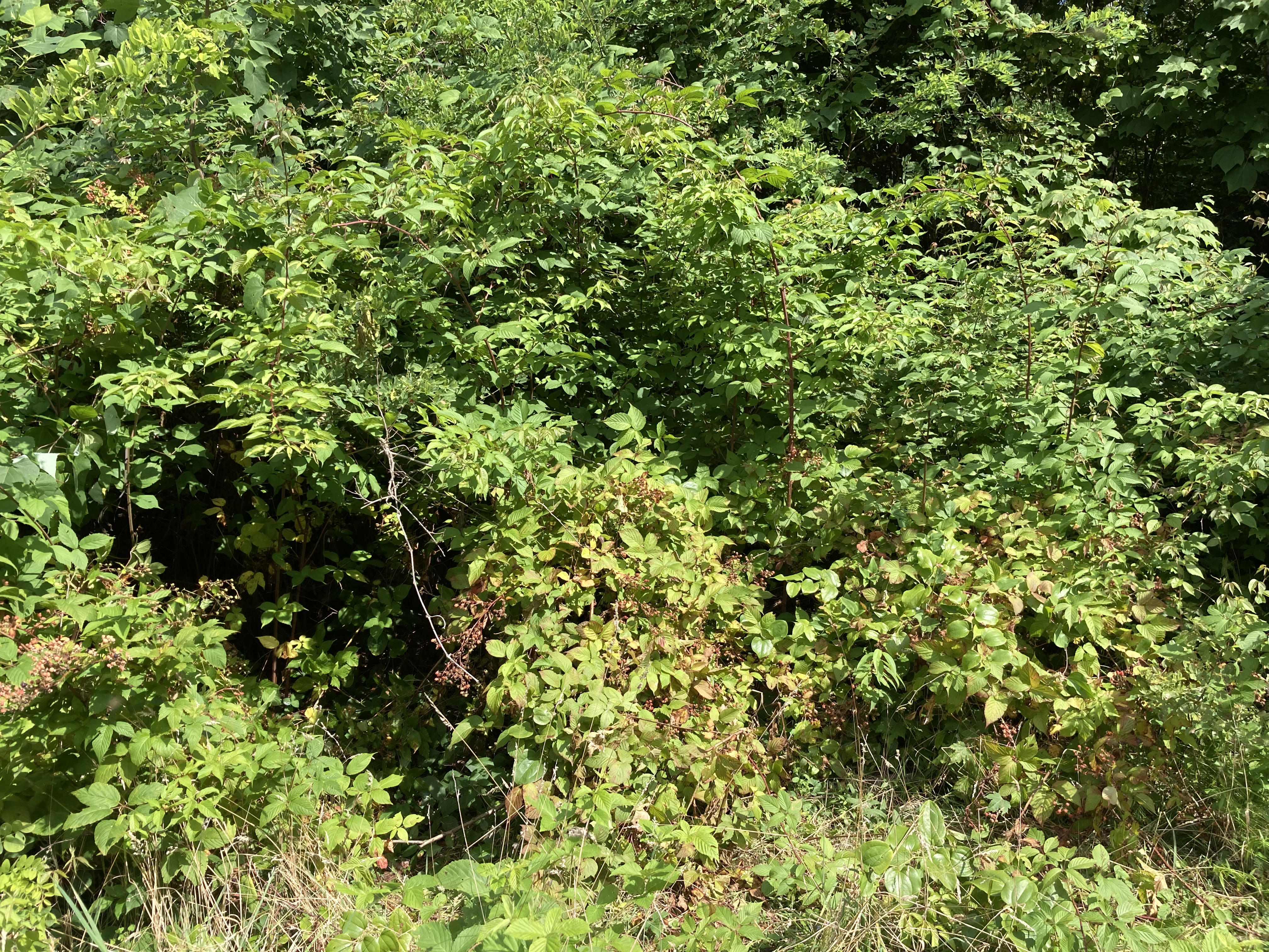
Unmarked Gated is an overgrown, marsh-suckingly awful mess, although still fleetingly navigable.
At the hairpin turn, however, the route dead-ends into a massive, impenetrable blowdown. What to do?
CalTopo shows that the “road” parallels a river until meeting FS 5506. I see no river, only a dry bed of boulders littered with years of broken branches and fallen trees, but I follow it hack-and-slashing for a half mile until, gratefully, it plops me unceremoniously out onto 5506.
Good ol’ 5506 – so much better than Unmarked Gated.
Chest high thorn bushes, bear scat, snakes.
Just get to the Devils Creek Trailhead, I preach to my audience of one. Everything will be better at the Devils Creek Trailhead.
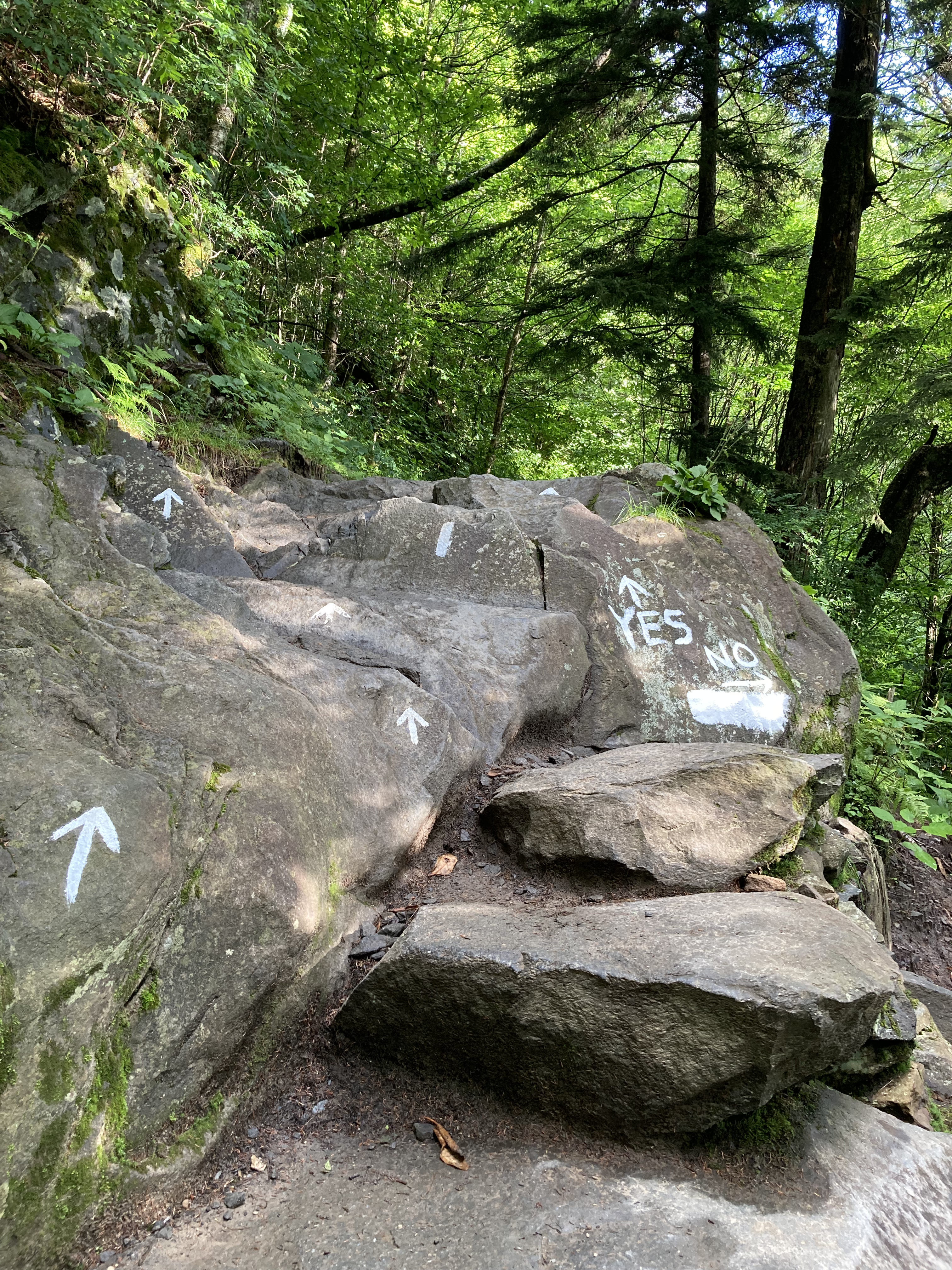
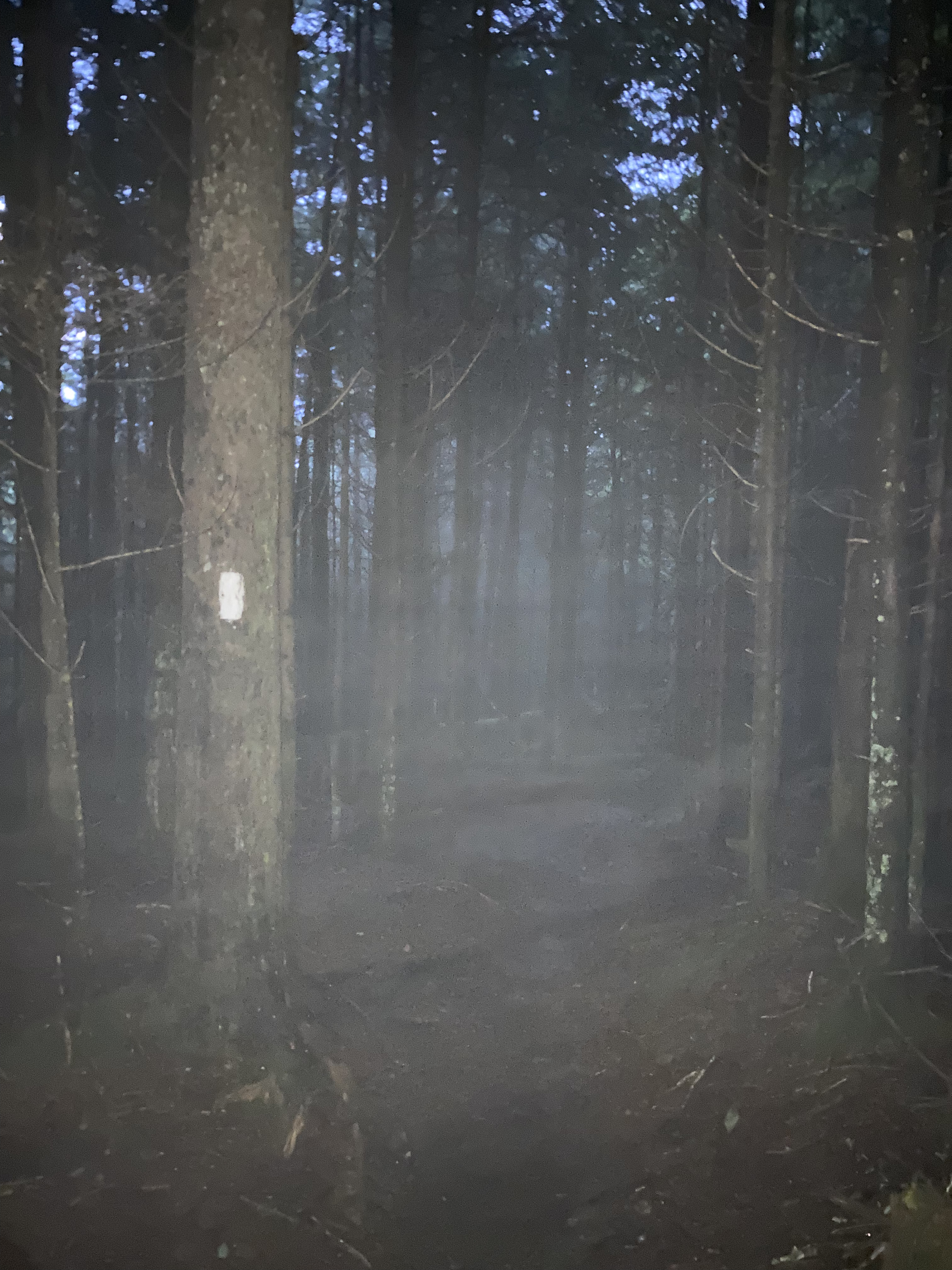
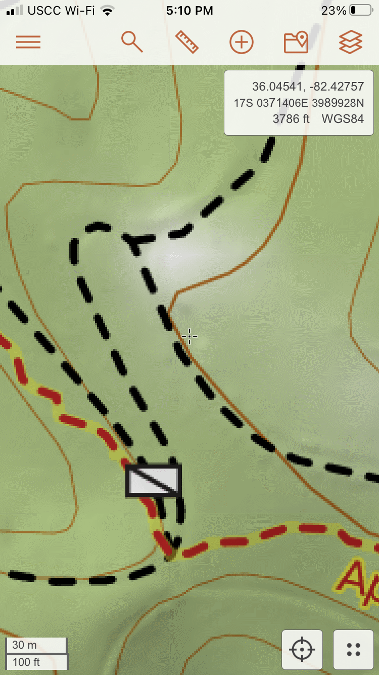
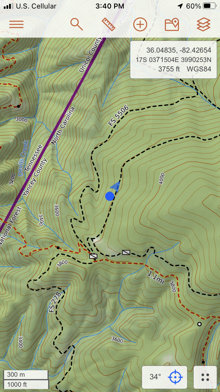
I watch my progress on CalTop, that peppy little blue arrow optimistically pointing to where I am, until I reach the “trailhead.” Below, you can see a black dot where 5506 takes a sharp right onto the red Devils Creek Trail.
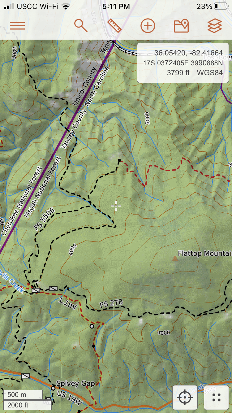
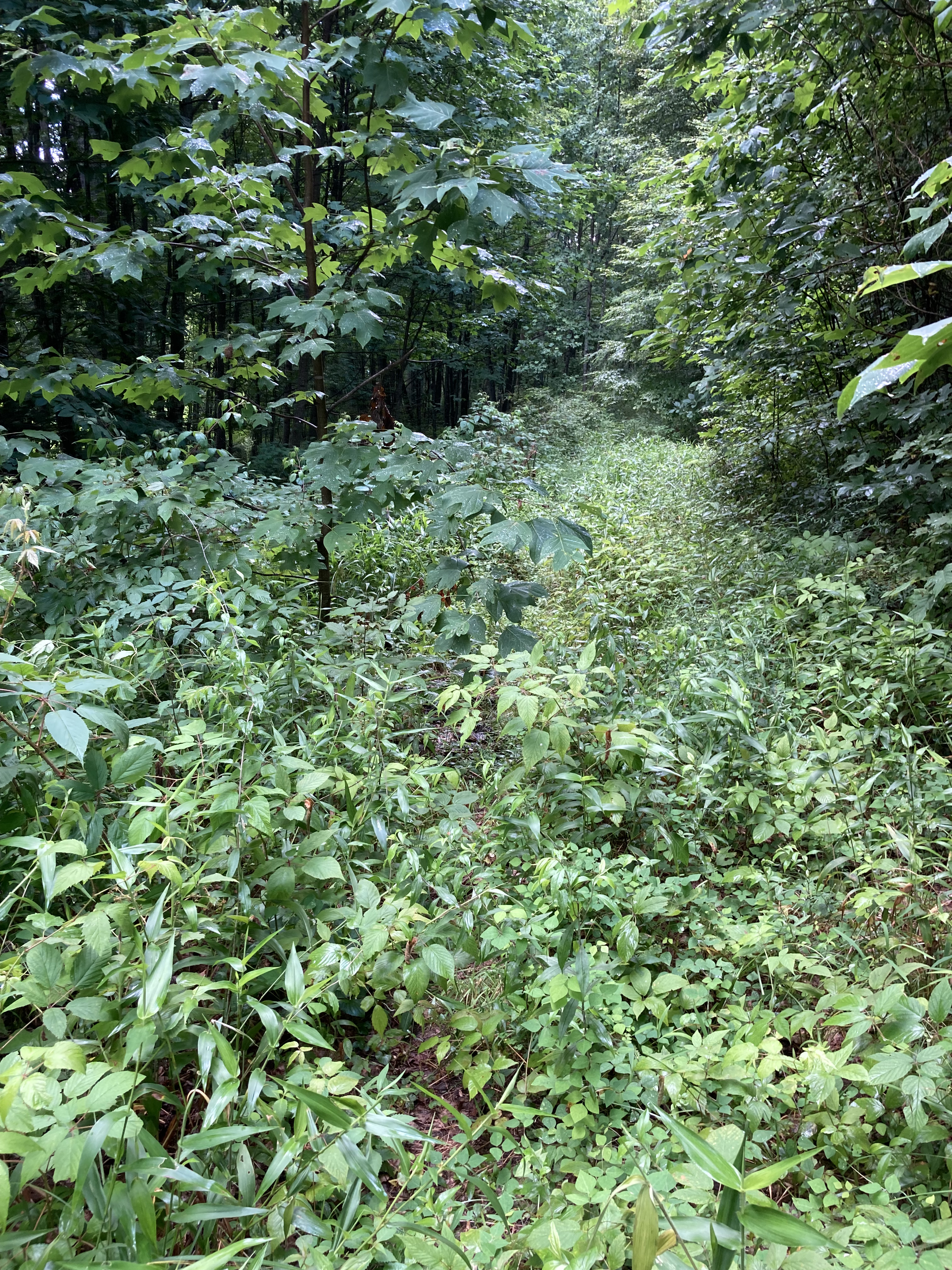
I stand at that dot, pointing my phone toward the red-dashed line, but this is all I see:
Yikes.
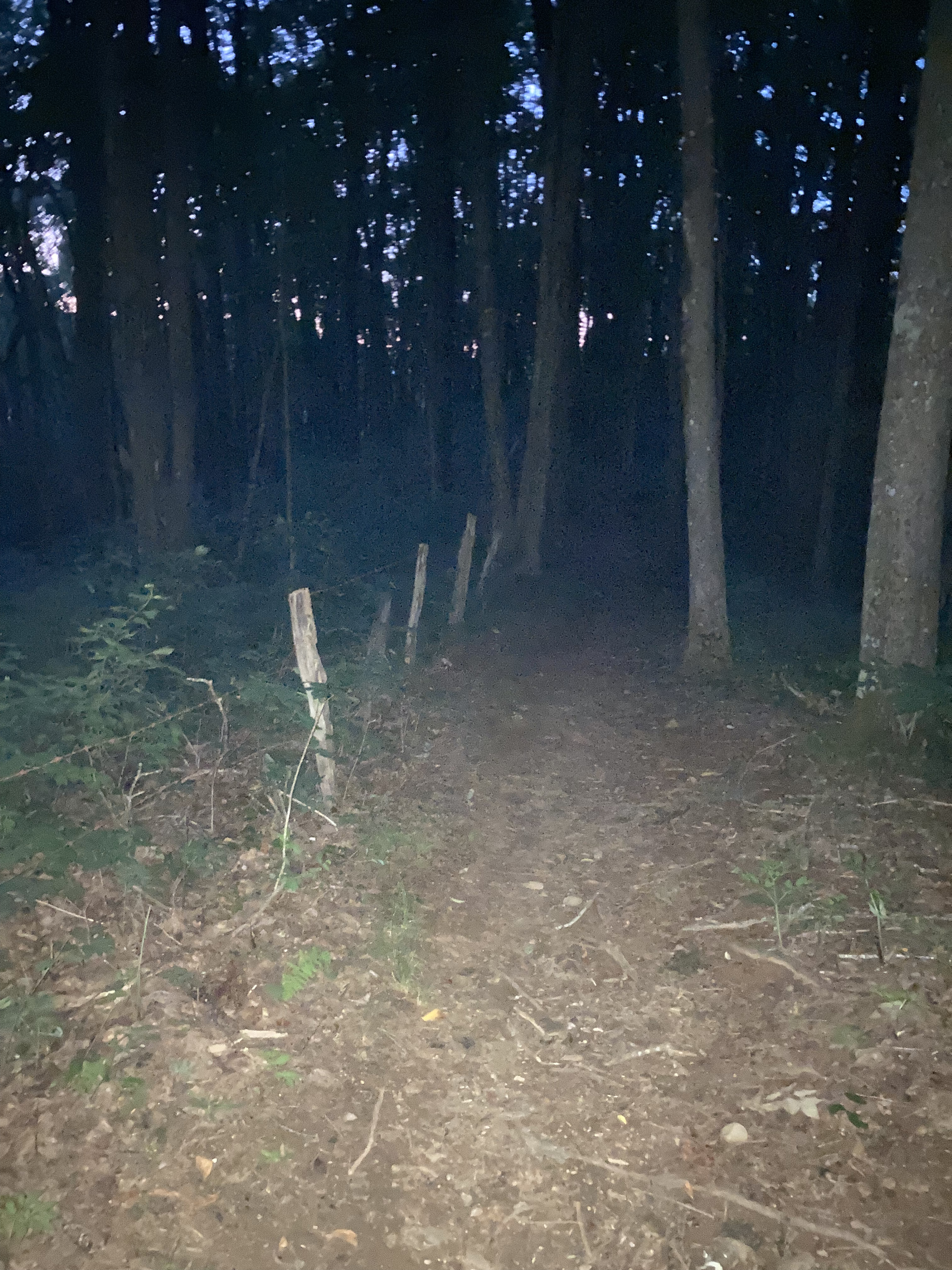
No sign, no opening in the trees, no cairns, no nothing.
Just a solid wall of bracken that I try to part with my poles; if there is a trail in there, I cannot find it. I spend another half hour or so wandering along the perimeter on a game trail, pointing CalTopo hither and yon, but it’s fruitless. I’ll need to find another way.
You can do this, the inner voice chirrs. Remember that we glory in our sufferings, because we know that suffering produces perseverance; perseverance, character; and character, hope. (Romans 5:3-4)
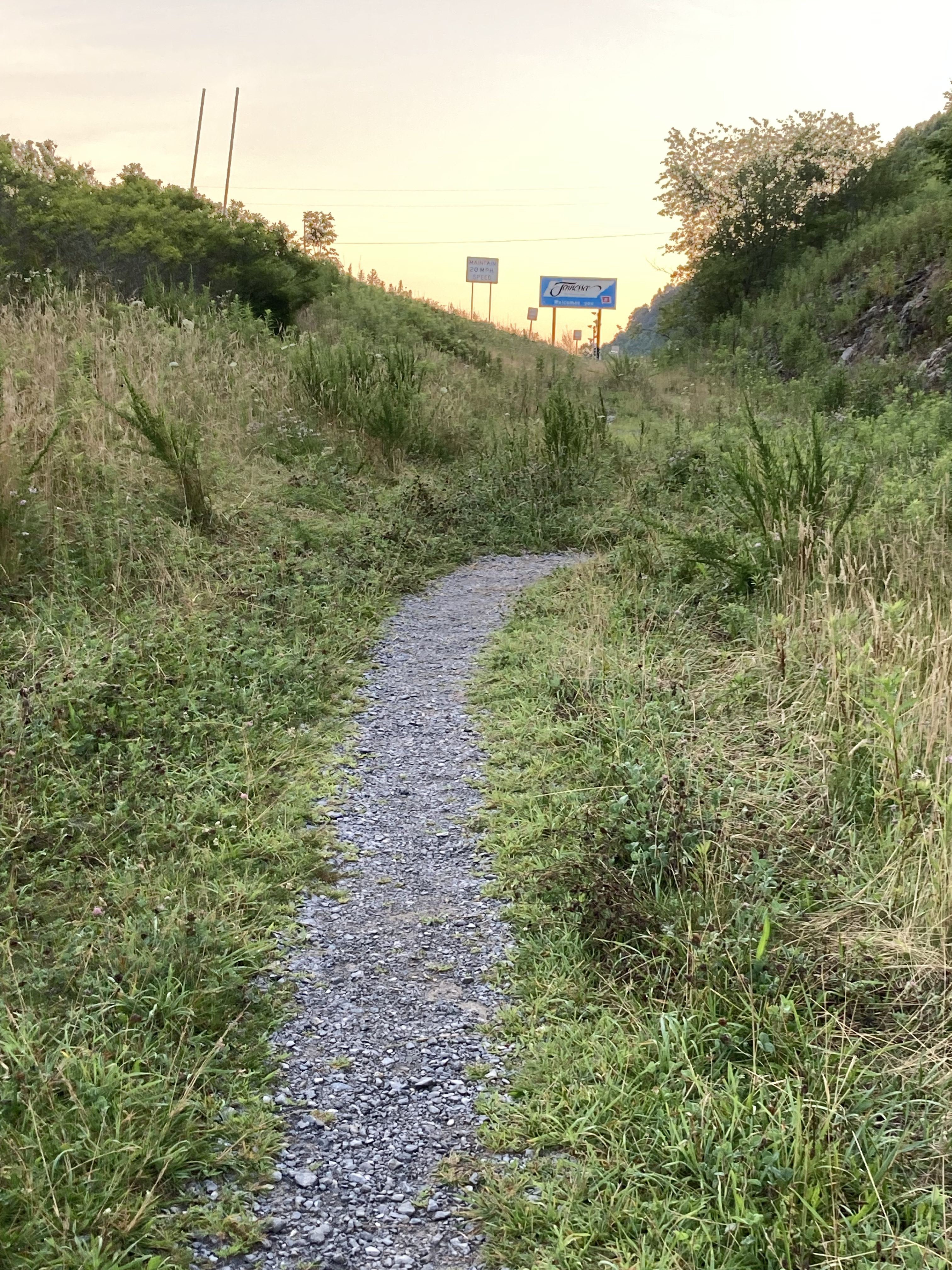
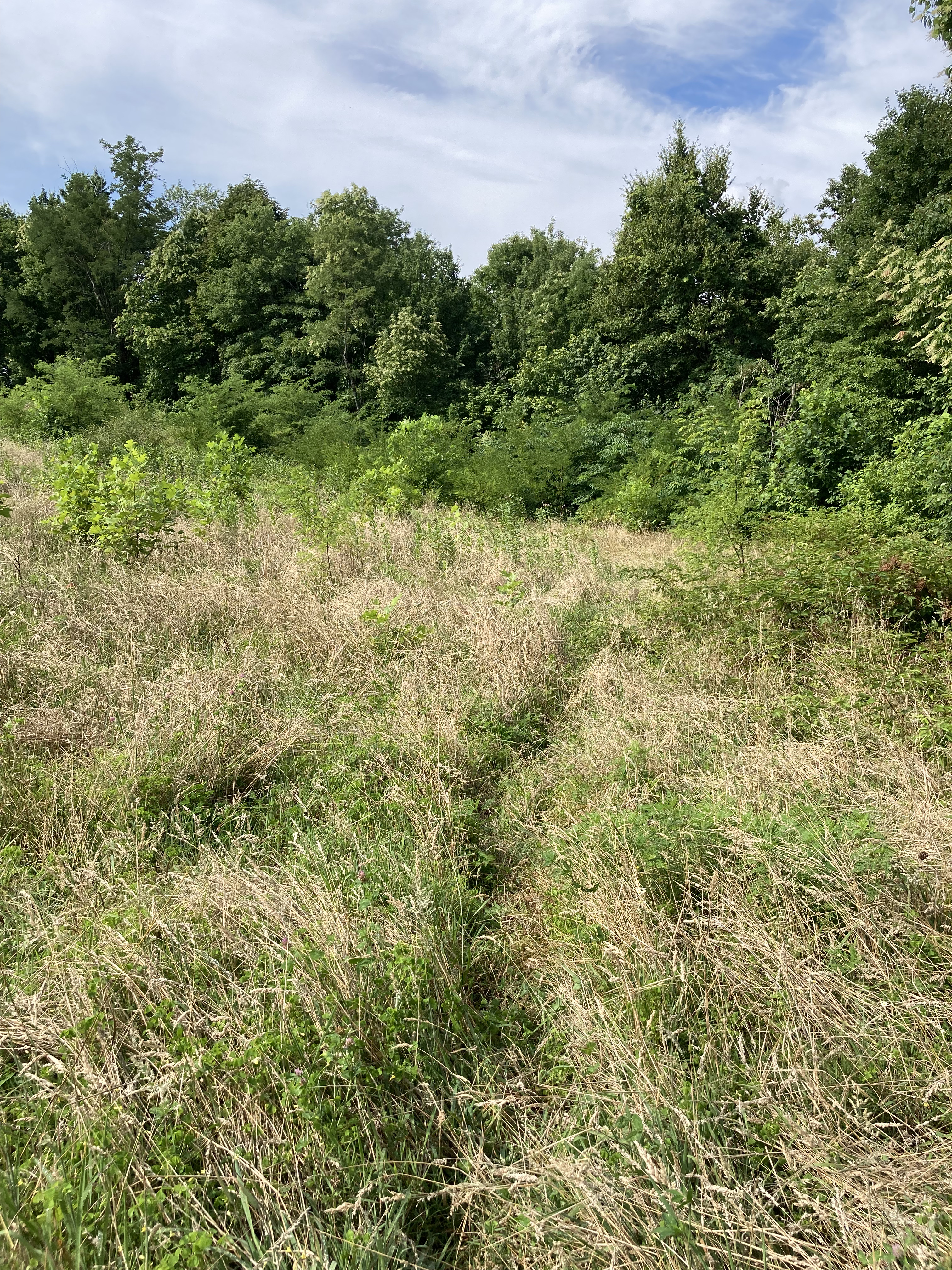
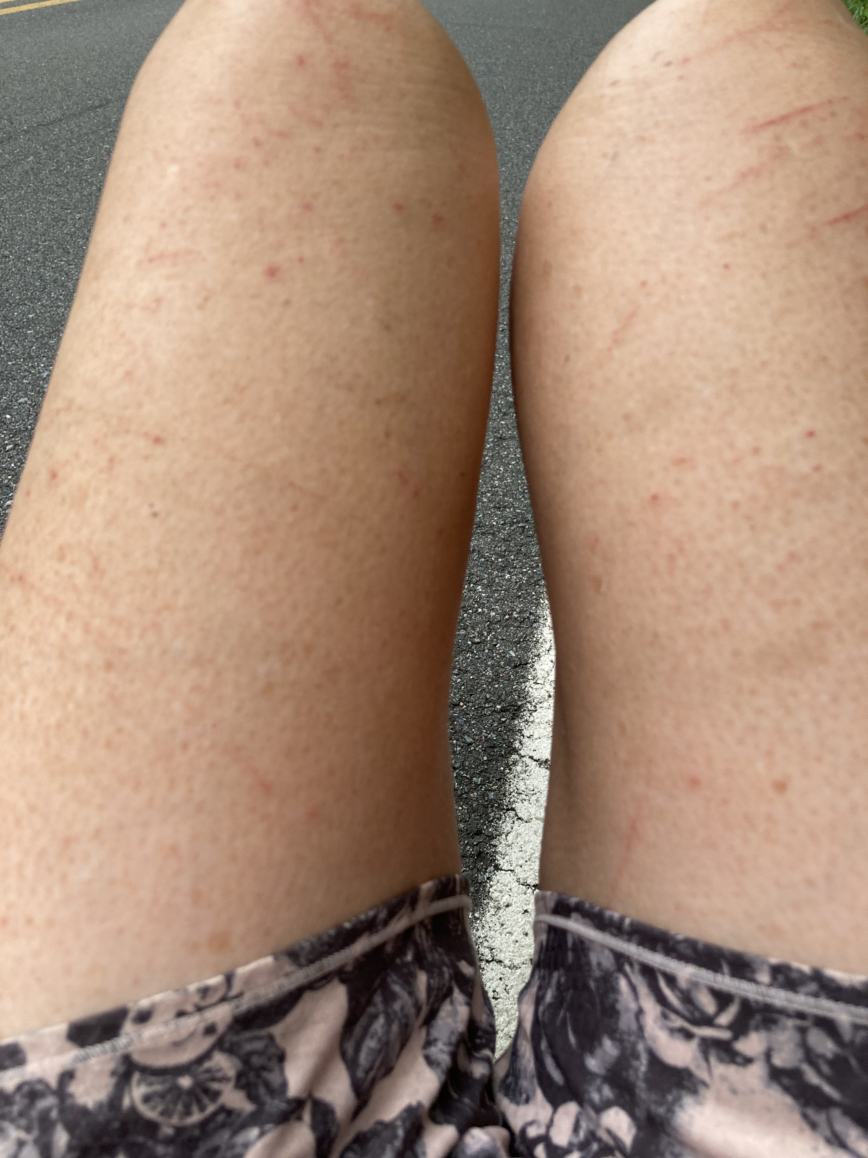
Calling an audible, I backtrack, taking 5506 the whole way. Legs and arms bloodied, I re-emerge onto Flat Top Road – really, just another overgrown FS road, #278 – and take it around Devils Creek Tail and contiguous Lost Cove Trail. It will have to do, but I leave part of myself, literally, figuratively, back in that overgrown meadow.
Just north of where the pavement will begin, I am surprised to find a piped spring right next to the sliver of flat where I balance my tent for the last night on trail.
Hope.
Note: The AHR is a spectacular route. Many hours of love and commitment went into its founding, and I highly – HIGHLY – recommend it to anyone looking for a slightly shorter thru-hike with some kicker peaks and inspirational terrain. As more people complete this trail – and volunteer to maintain this section – the turn-off to the Devils Creek Trail will become more pronounced, particularly at this time of year, when vegetation is high. I was disappointed in myself for not being able to complete the 3.7 miles of DCT and LCT, but not in any way with the AHR itself. Hike on, friends.
Other note: When I reached the clearly marked eastern terminus of the LCT, I thought about hiking back to that overgrown meadow, turning around, and hiking back, thus completing every single step of the official AHR.
But I’m not a lunatic.
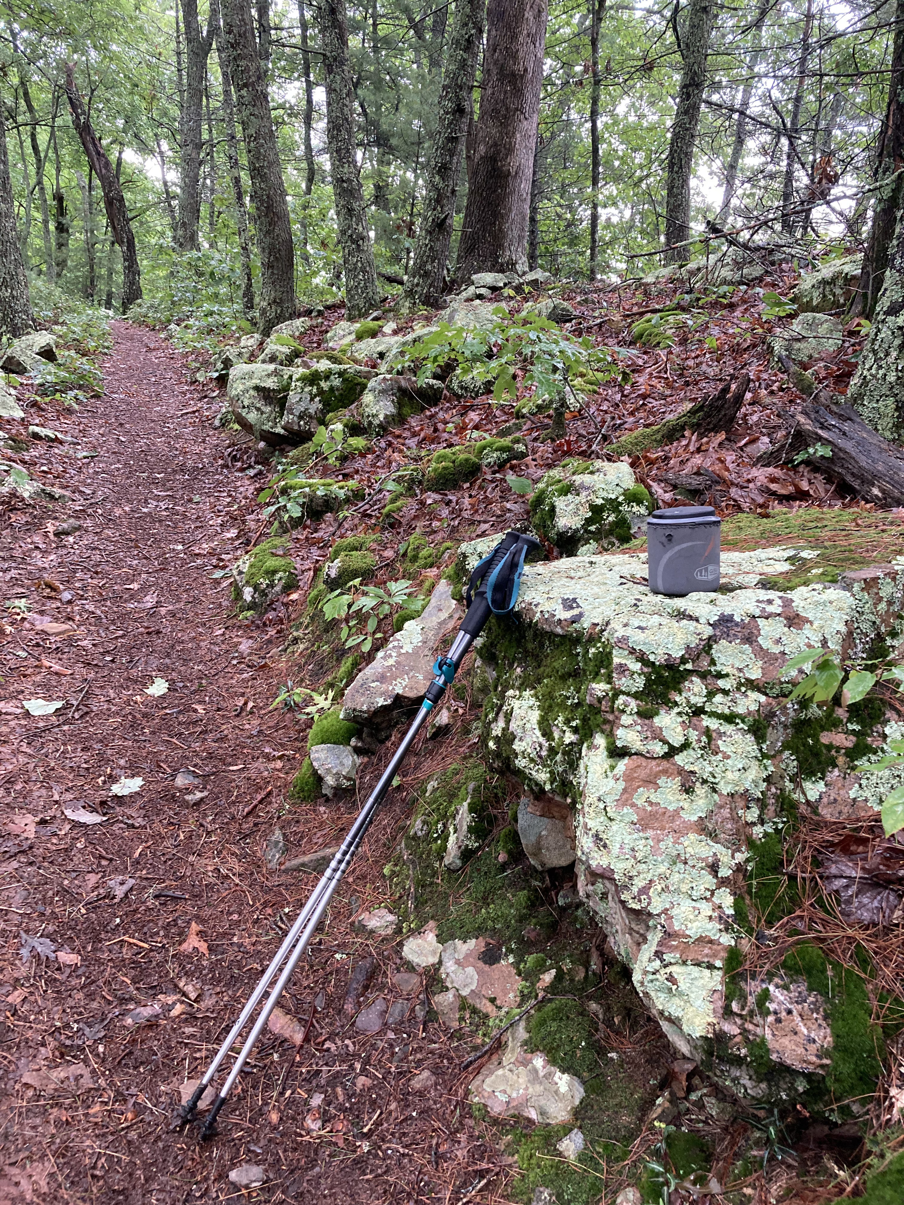
Day 17: Hogback Ridge Shelter to west of White Oaks Flat Road – 25.9 miles (including the 1.7 backtrack)
Pennies
I’m up early for my last day on the AHR, stirring my last remaining packet of coffee and looking forward to the road walk. No way was I getting lost on pavement.
I’m used to long road walks from section hiking the Florida Trail the past four spring breaks. Staying attuned to one’s feet is critical, given the grind of asphalt on tender toes, so I walk the first half in crocs. It’s a muggy morning but there’s lots to see, a diversity not often found in forest.
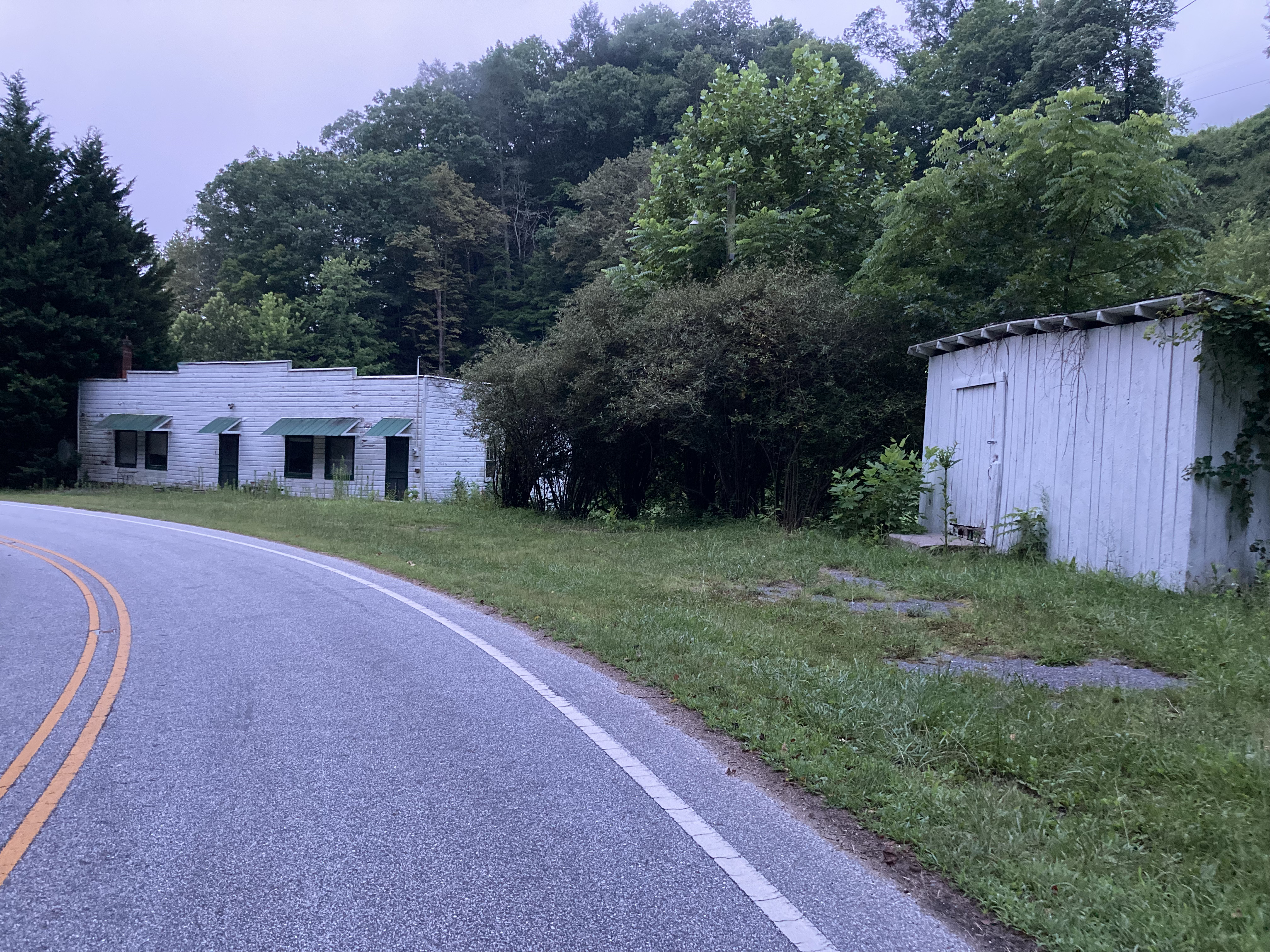
Stopping to snack at an abandoned gas station, I look down and see a penny.

I think of how God always knows when I need a reminder that He’s thinking of me.
I find another just before crossing the street.
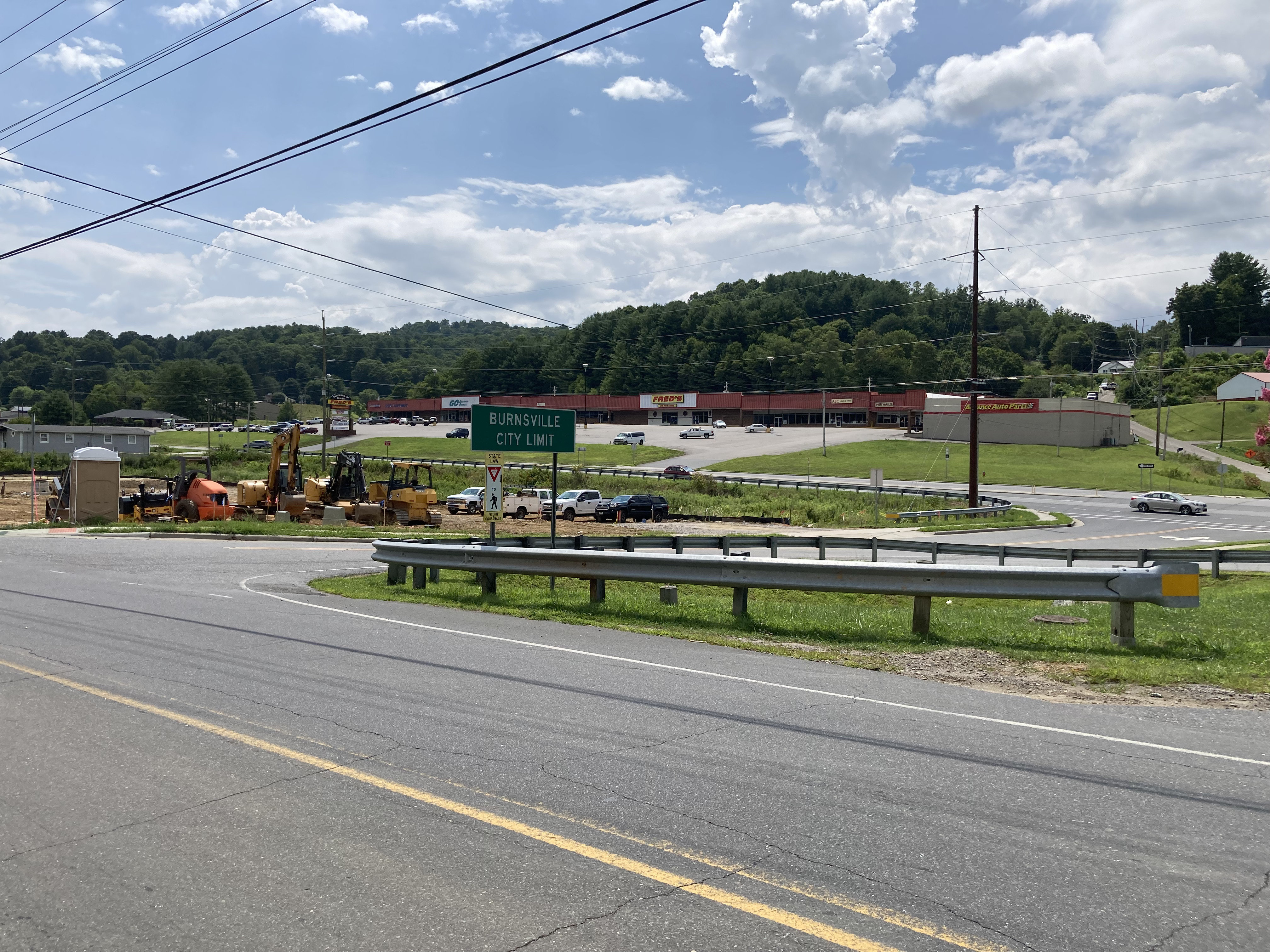
As the shade disappears, my pace slows. Finally, the turn into Burnsville and a quick stop for a smoothie before retrieving my car from the Carolina Country Inn.
As he hands me my keys, the owner and I chat amiably, when suddenly he asks Were you carrying?
Carrying? Like a gun?
Haha. I was carrying lots of things, but a gun wasn’t one of them.
Way too heavy.
I think about his parting words driving north: You’re braver than I am.
But I don’t think it’s bravery, necessarily. If we allow our fears to dictate what we will and will not do, I believe we would miss out on some of life’s sweetest moments, its most winsome triumphs. Suffering, perseverance, character, hope. All worth it, in the end.
The next day, I reach the Big Apple, where my older son needs help moving apartments. Honestly, I feel safer in the woods.
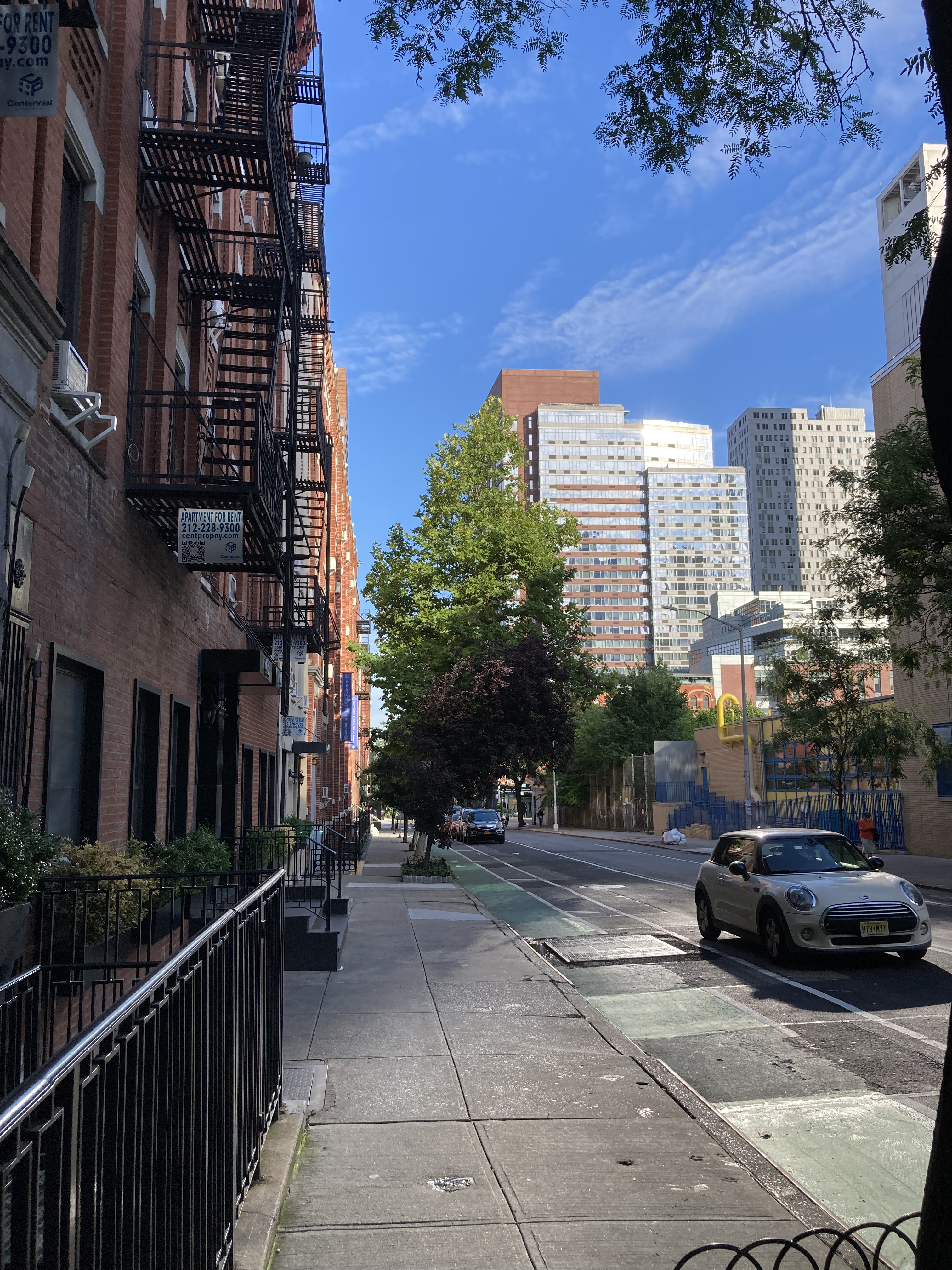
Waiting for him, I look down.
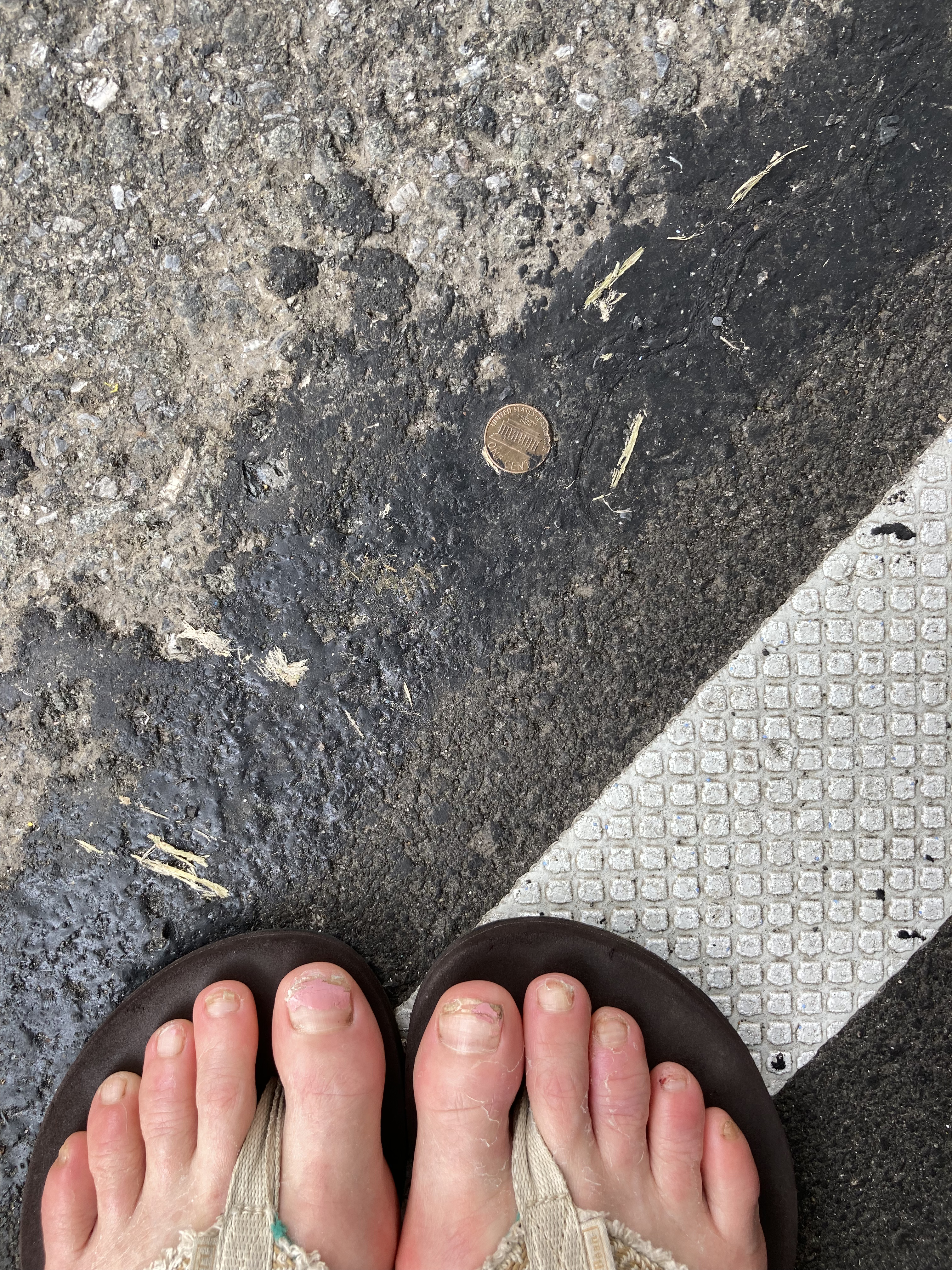
This one, sunk deep, cannot be gathered.
But like the Appalachian High Route, I’ll always know it’s there.
Day 18: West of White Oaks Flat Road to Hot Springs – 14.9 miles