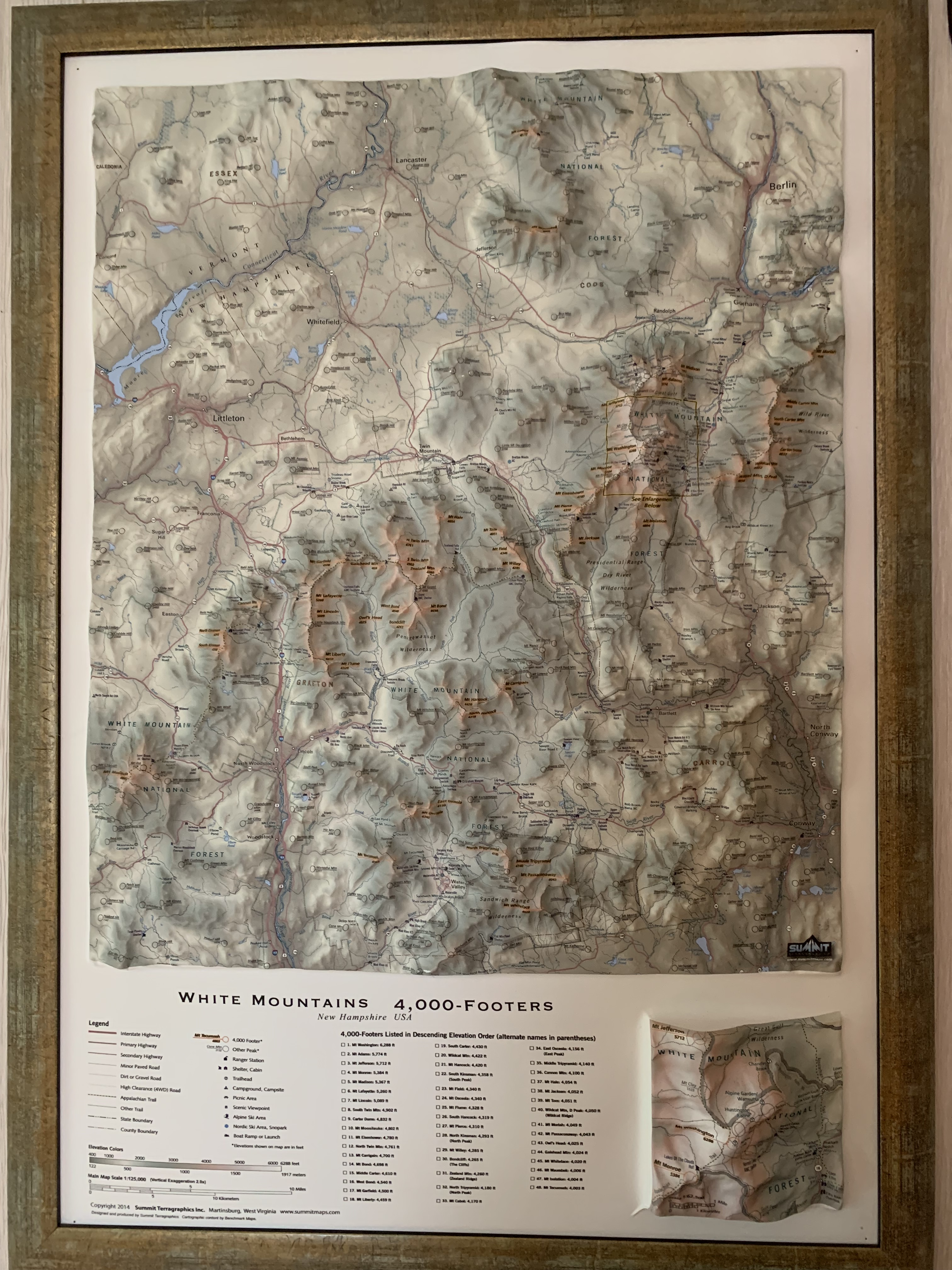
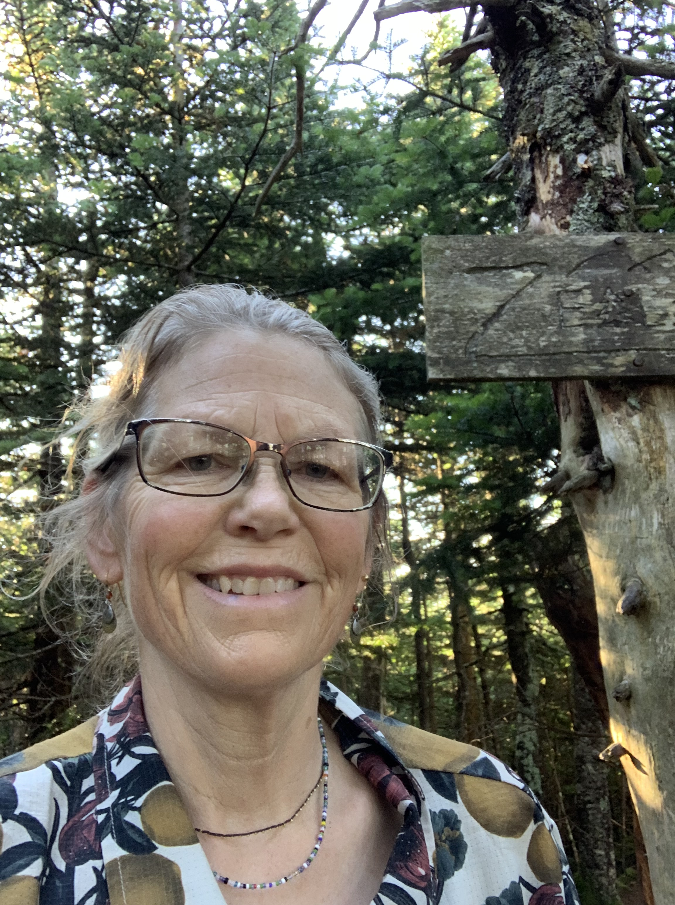
Independence Day
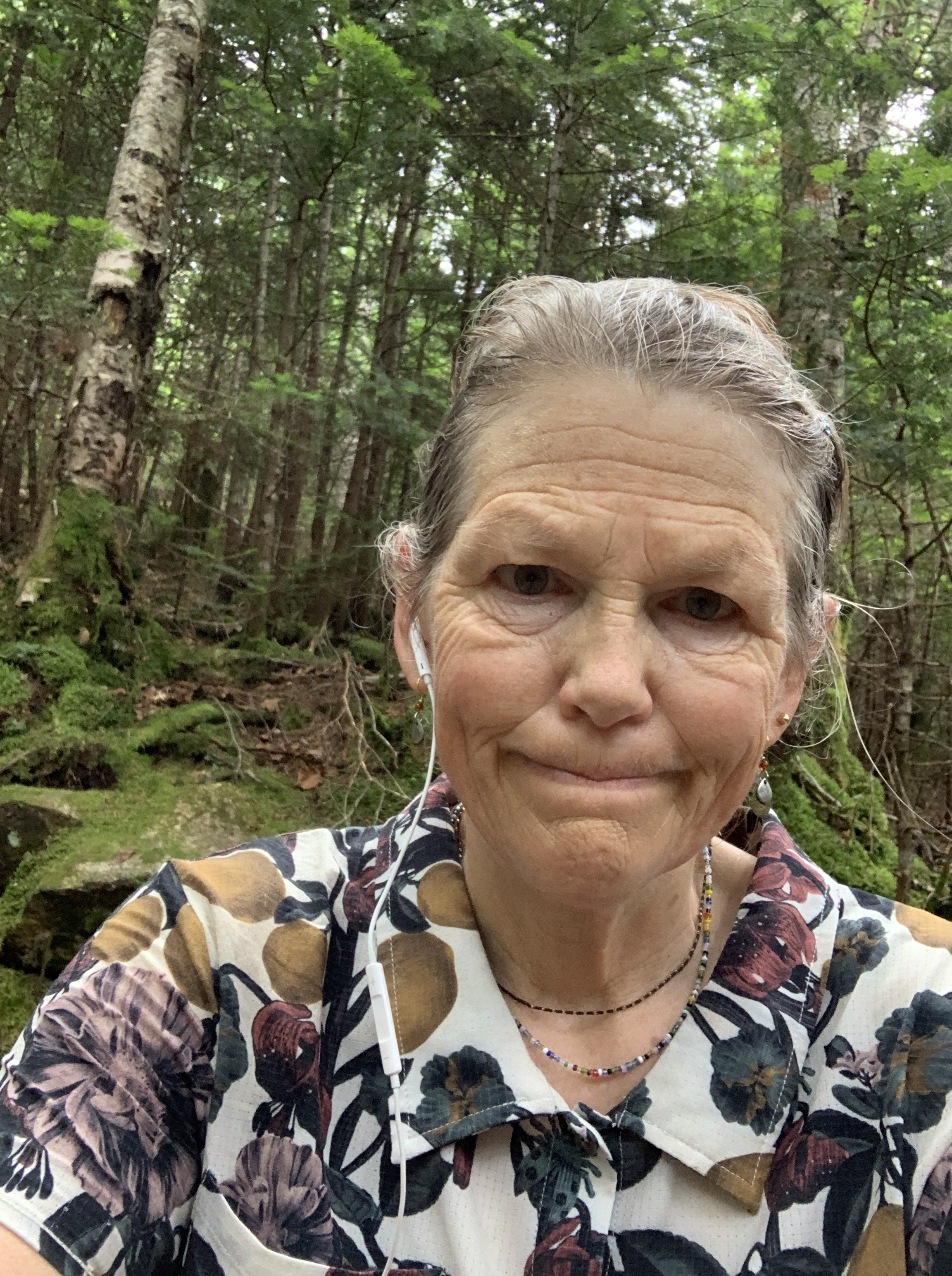
I woke up on the Fourth of July 20 miles from the small community of Waterville Valley. It had taken me five and a half days (see previous post) to travel 130 miles over 22 of the 48 4,000 footers, and I was hoping to finish the remaining 26 in about the same timeframe.
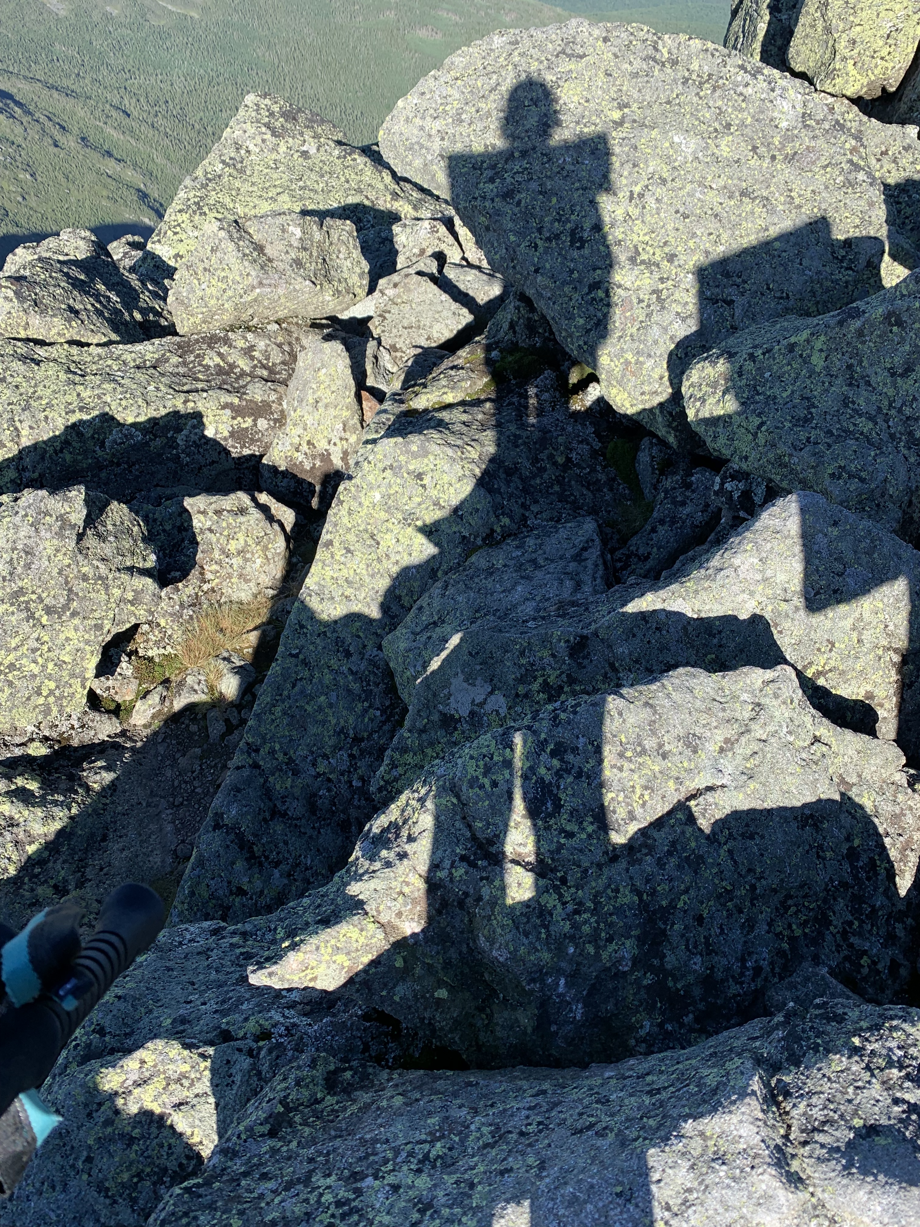
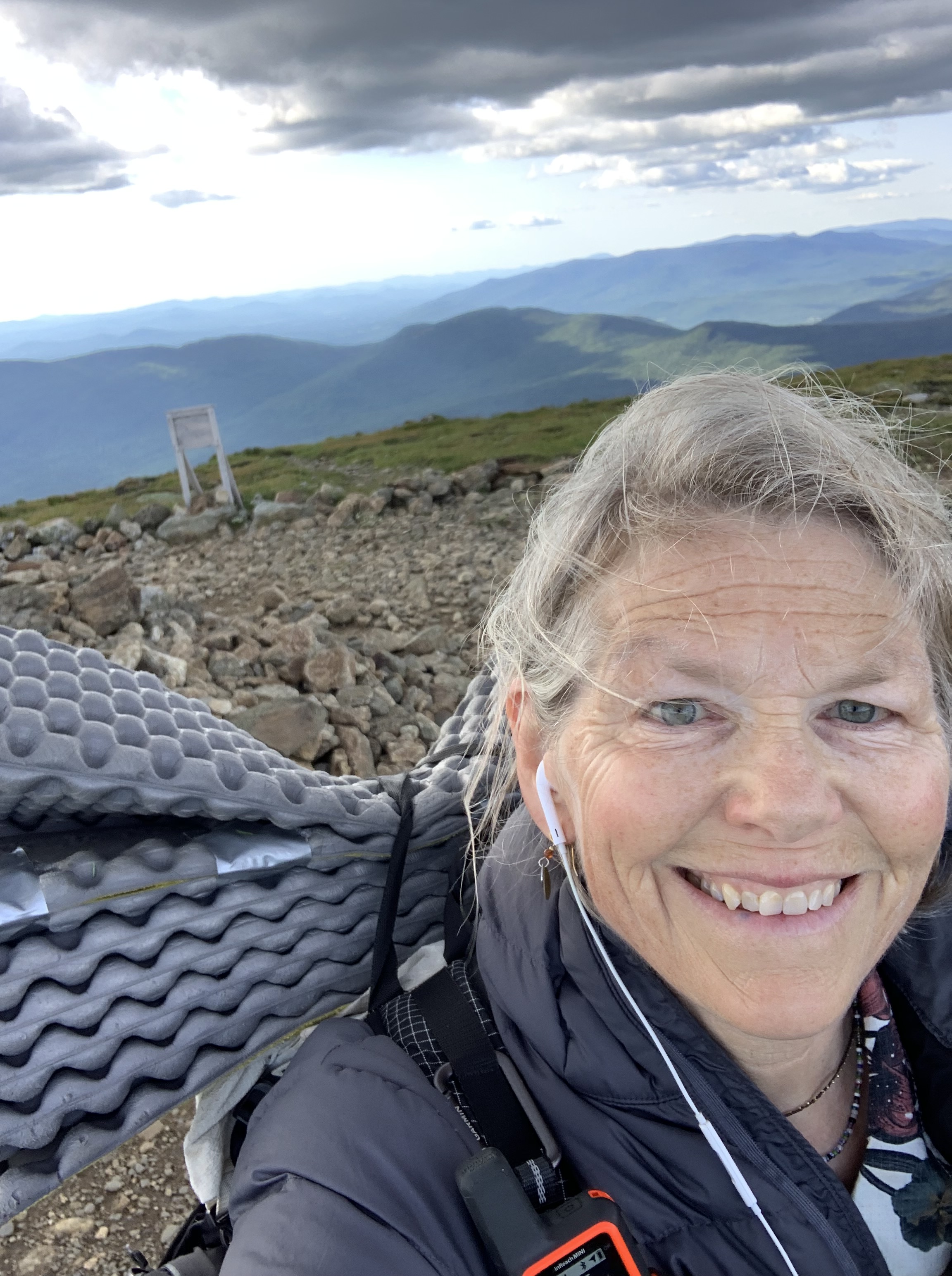
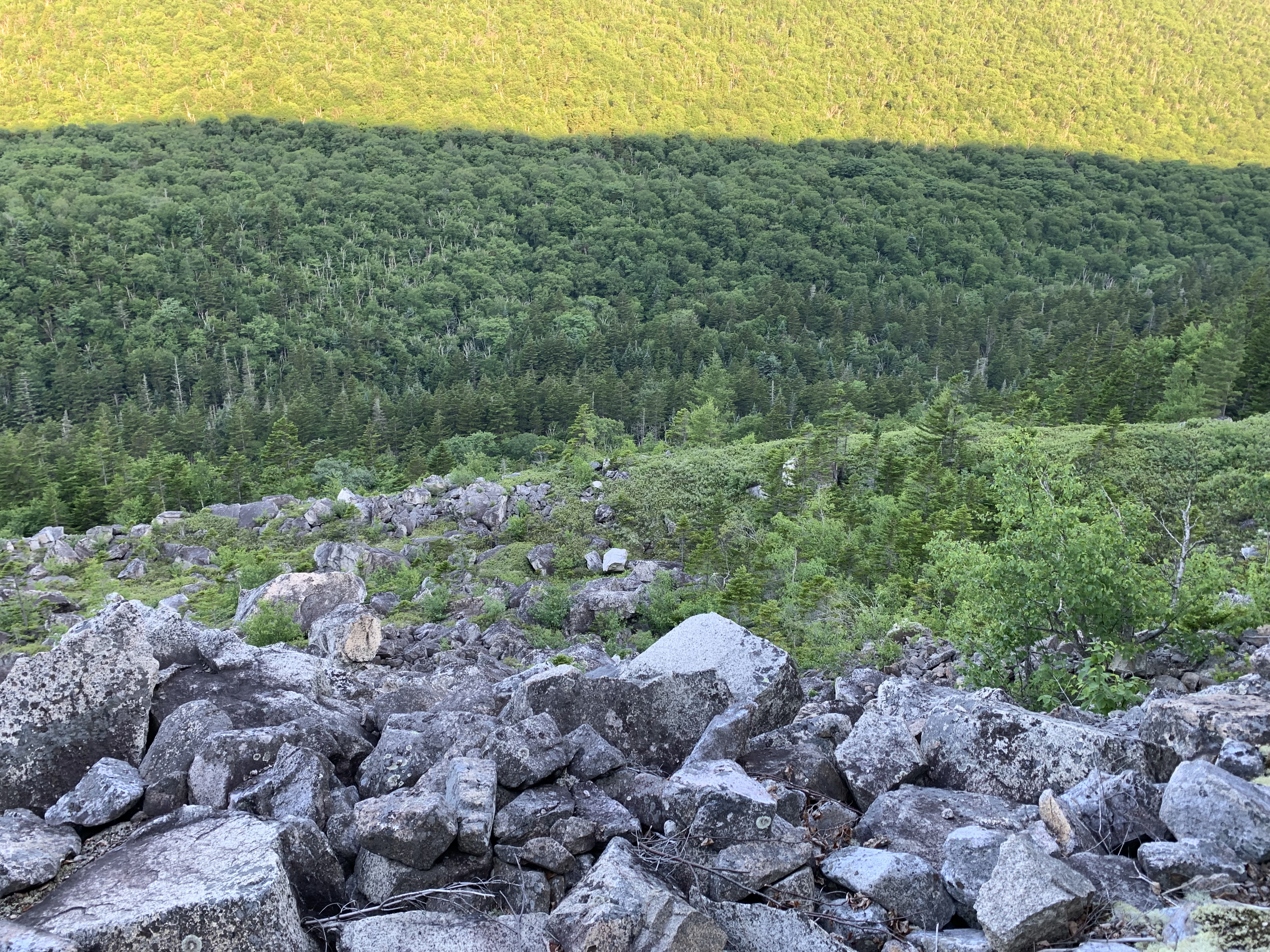
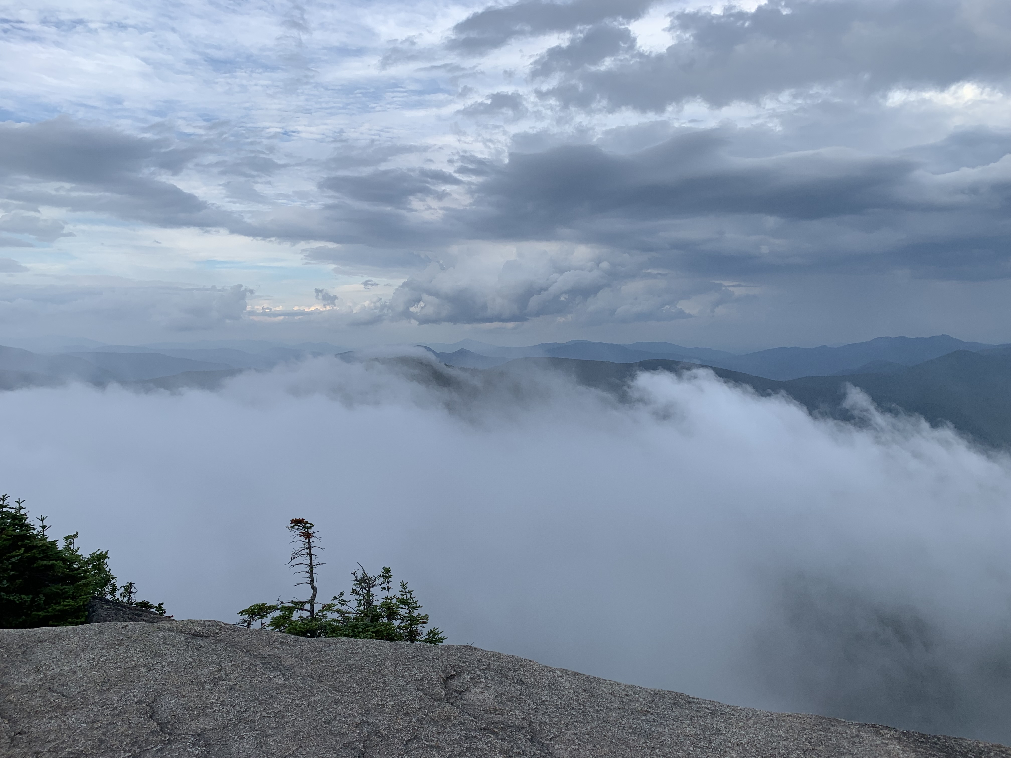
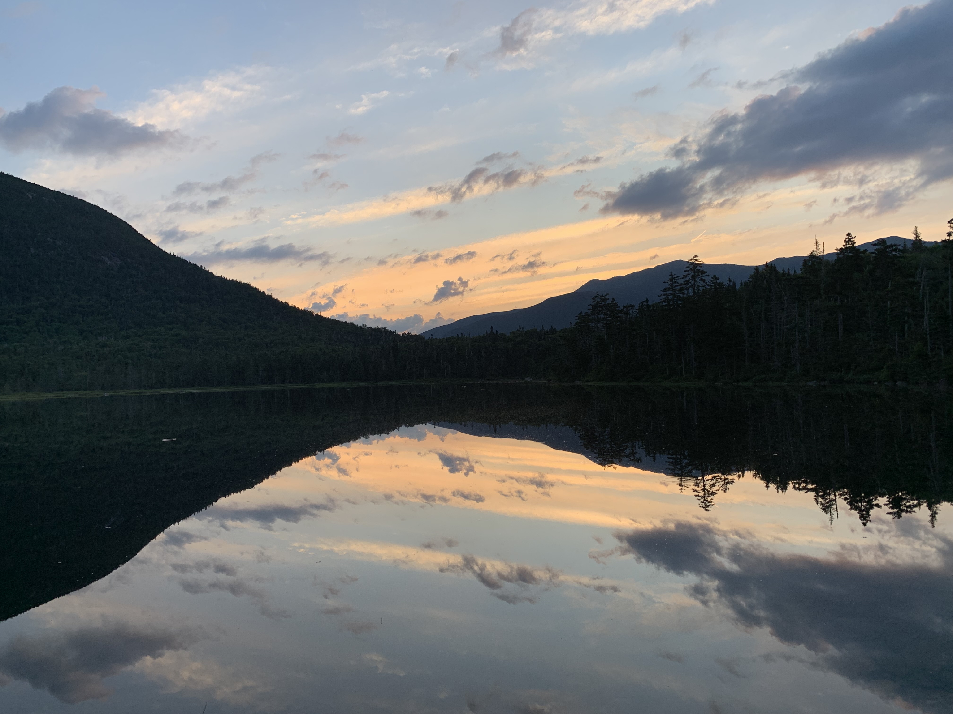
Though the morning was cool, it soon morphed into typical New England Fourth weather – hazy, humid, and hot hot hot. Luckily, the peaks ahead – Passaconaway, Whiteface, and the Tripyramids – were in the trees, their shady summits nothing but cairns in the woods.
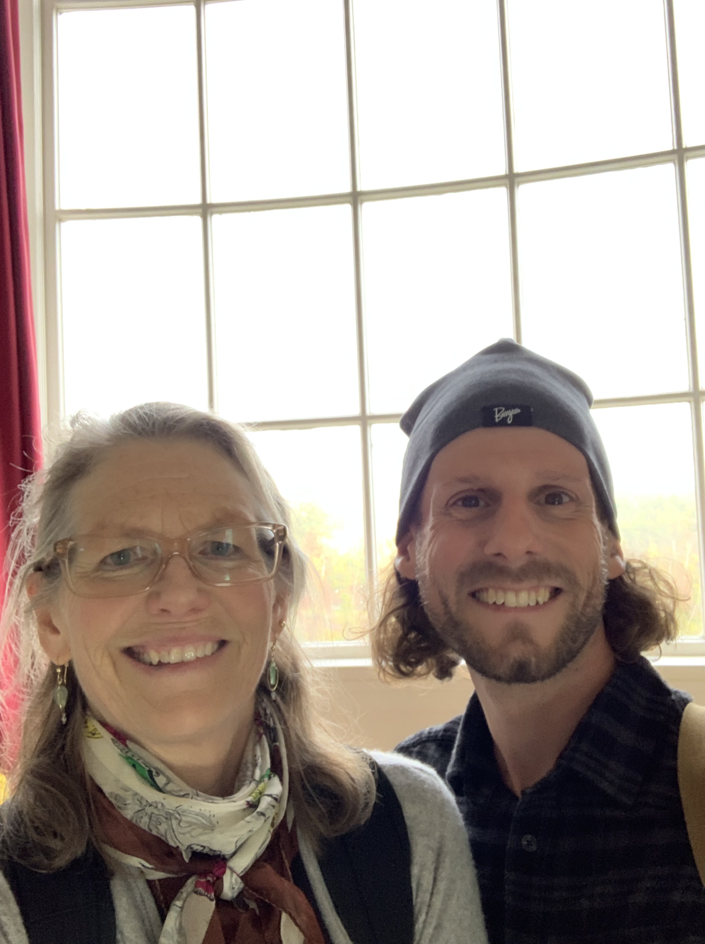
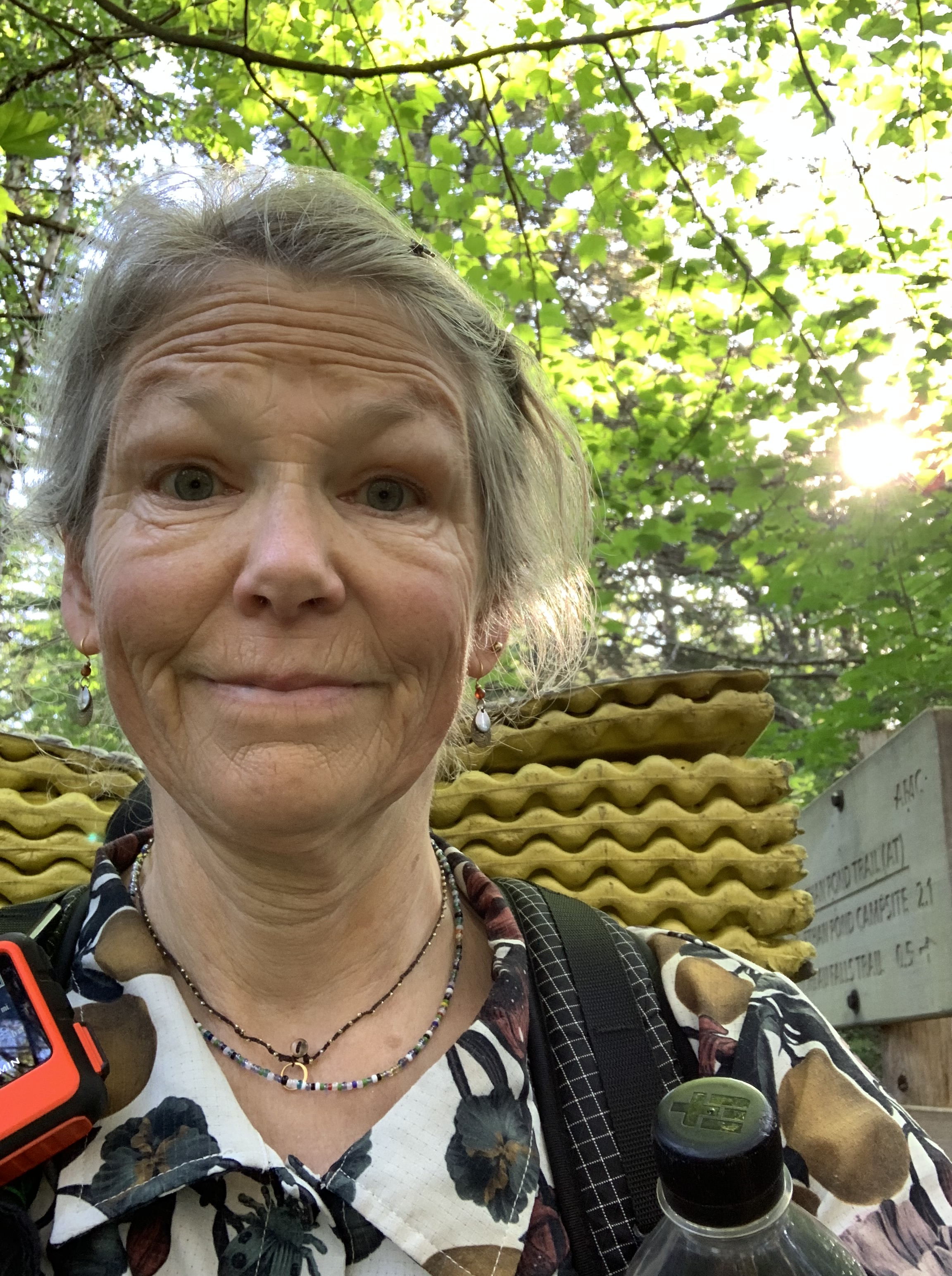
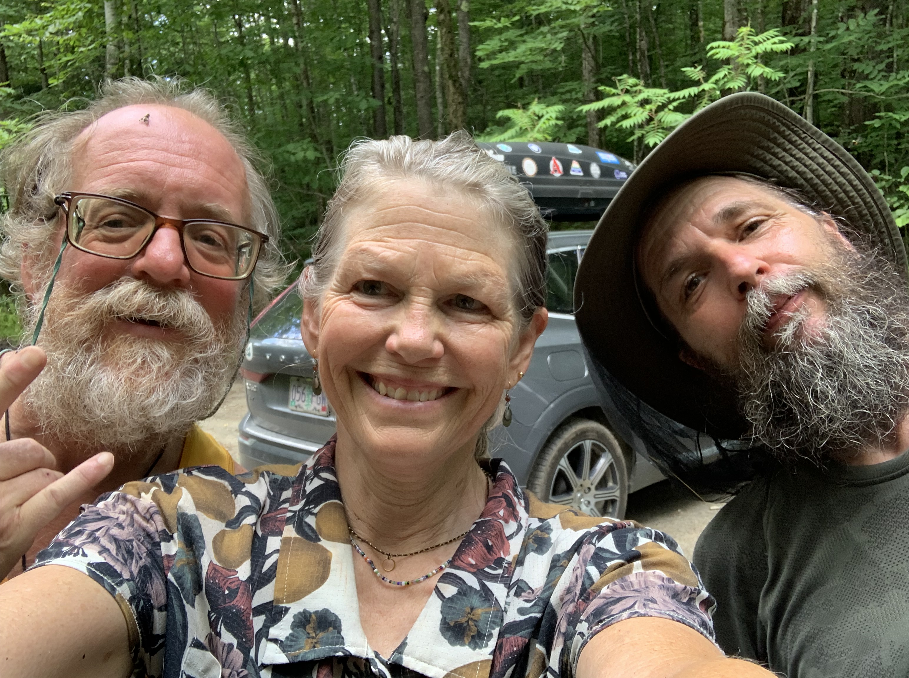
As I hustled along, passing scores of hikers out enjoying the day off, I texted updates to a friend who lived in the valley. When I knew I would be stopping in Waterville Valley to resupply for the second half of the Direttissima, I had hoped to grab a coffee or beer with fellow outdoor enthusiast Jen and her husband Rick.
For years, we had been crazy hockey parents together and had bonded over tournaments and cookouts and long drives to cold rinks, cars filled with smelly gear and happy kids. When their nest had emptied, as mine had, they wisely relocated to Waterville Valley which sported, not surprisingly, a rink of its own.
I practically run the final stretch of the day, a rutted forest road ending in a gravel lot a few miles from their condo. Jen didn’t mind a sweaty hiker hug, nor my muddy pack in her car. What I thought would be a quick visit turned into an overnight complete with the only opportunity on the trip to do laundry and fireworks from the town square. Well, I wasn’t actually able to stay awake for the show, but I did catch the initial bursts as I begged off early and walked home.
It seemed like every time I approached discouragement, something good and novel would occur to help keep me going. Jen and Rick were those beautiful somethings, and I couldn’t have been more grateful for their kind care.
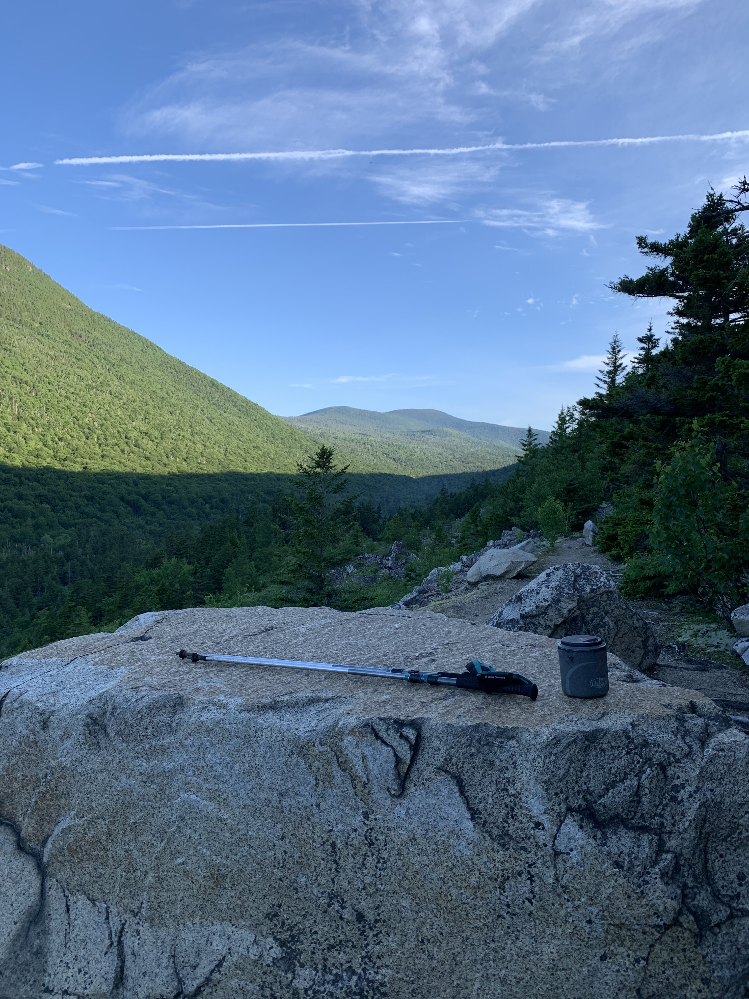
It took all the willpower I had to walk the hot streets out of town the next day, up the access road to the WV ski resort and the trailhead to Tecumseh.
Though shortest in elevation of the 48, Tecumseh makes up for its deficiency with hundreds of stone steps leading precipitously to its summit loop.
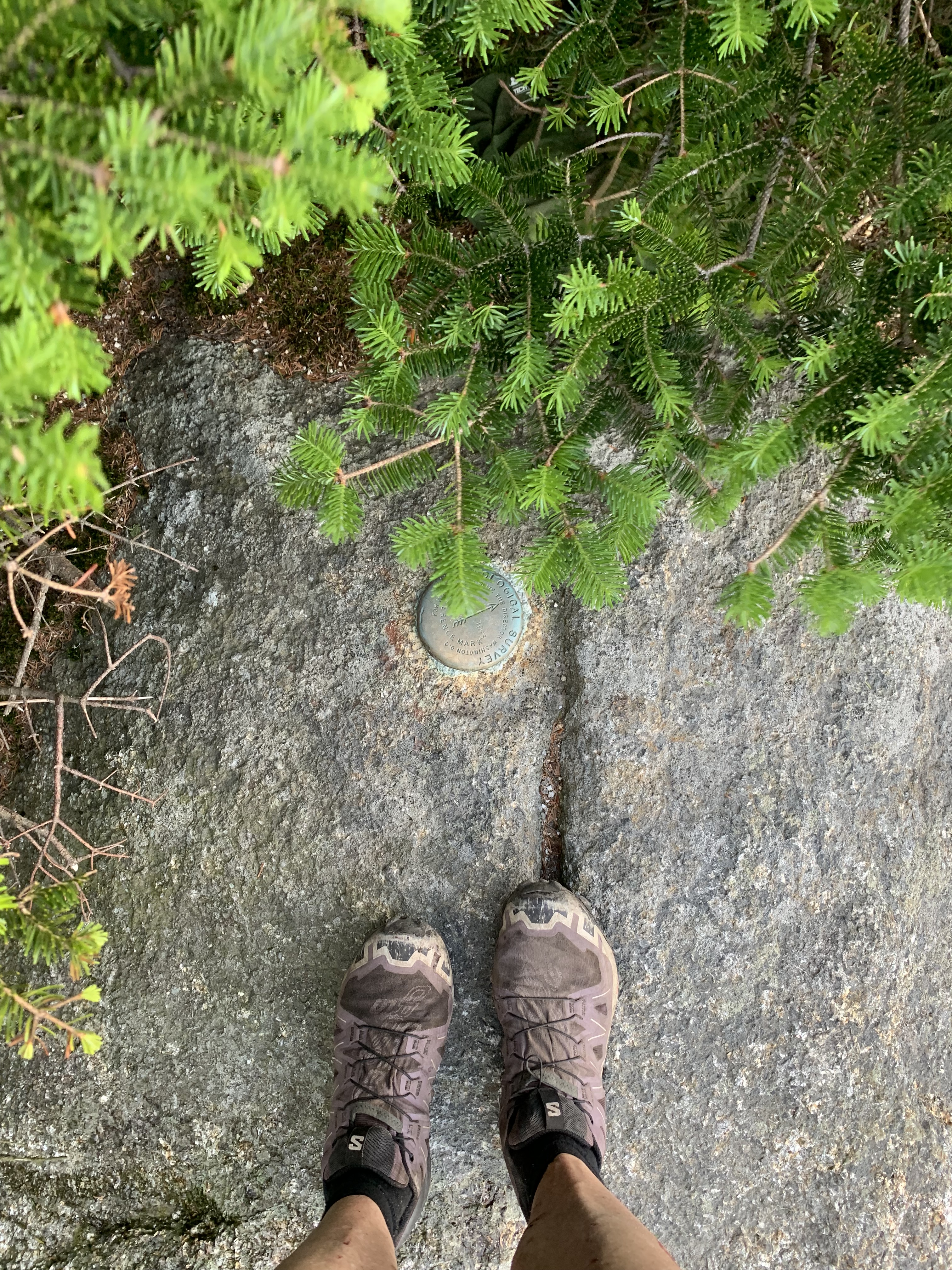
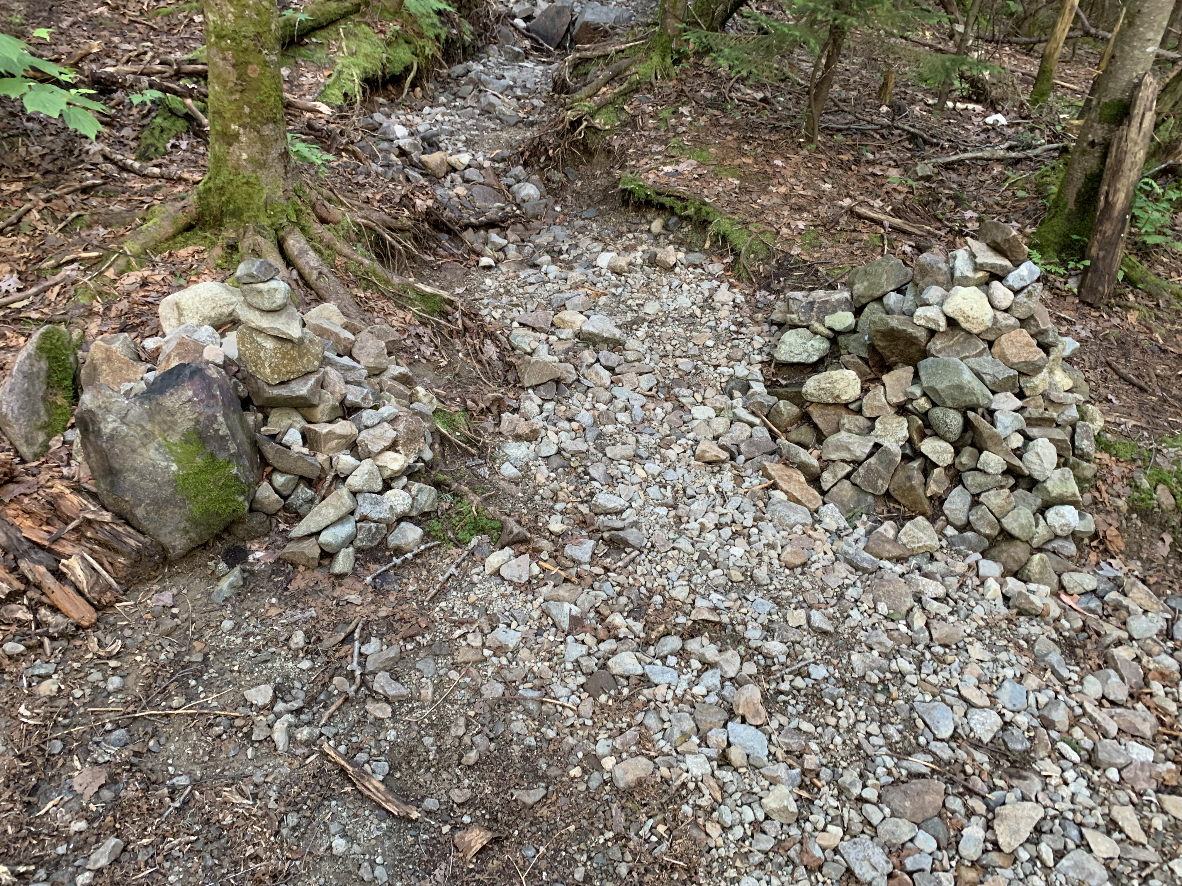
I hadn’t visited Tecumseh in years, as it had been the first peak I had Gridded out, but I marveled afresh at all the intricate trail work and the piney softness of the footpath off the back side.
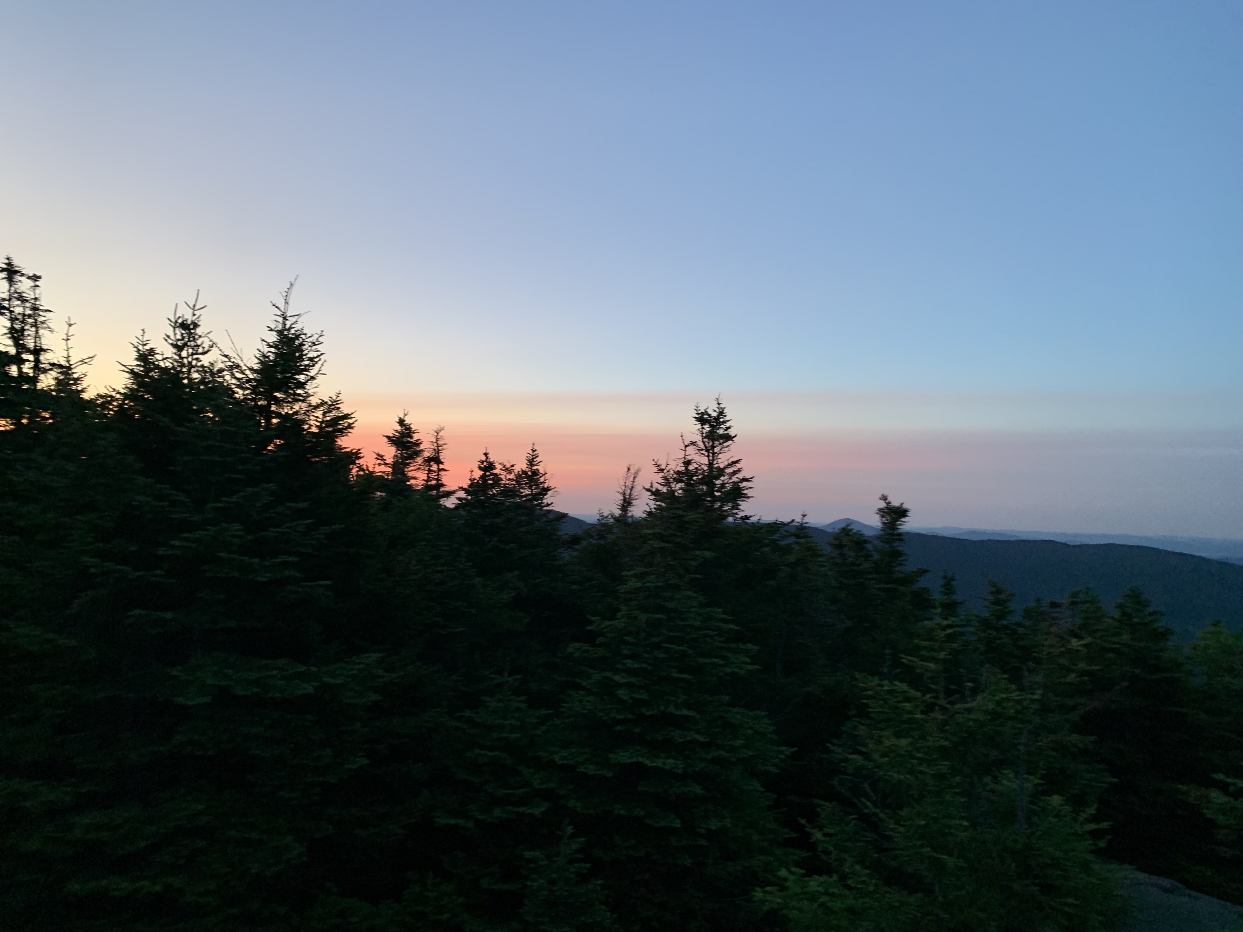
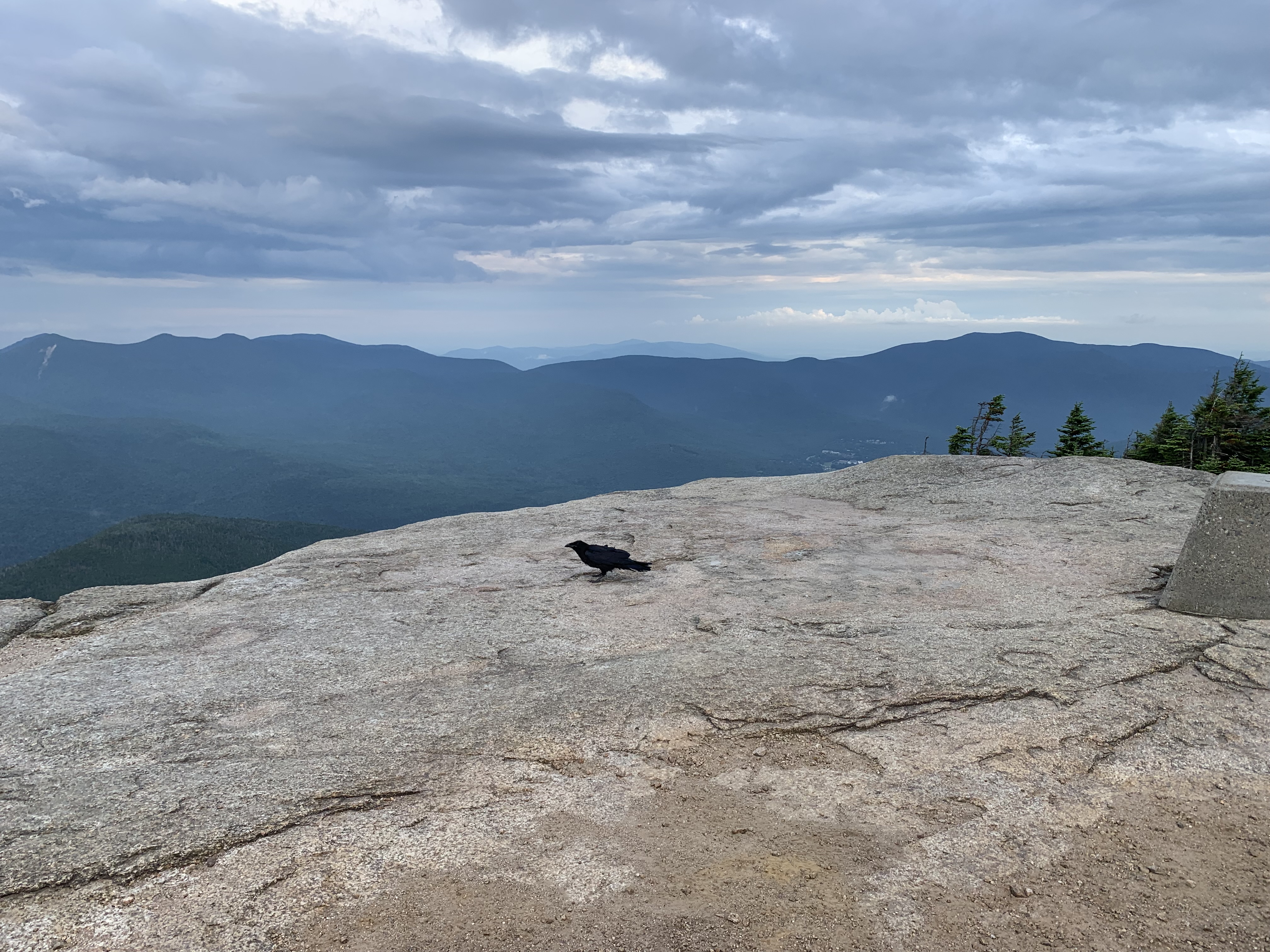
A short road walk up Tripoli Road led me to last peaks of the day, the Osceolas. Brilliant clouds scuttled in on a salty wind atop Osceola, plunging temps as a lone crow and I shivered through a quick snack.
Then it was long descent back down to the Kanc and a tiny tent site as night reclaimed the forest.
Day 8 – .2 south of Oliverian Brook trailhead to Waterville Valley: 20.1 miles
Peaks: Passaconaway, Whiteface, Middle Tripyramid, North Tripyramid
Day 9 – Waterville Valley to .9 south of Greeley Ponds trailhead: 15.3 miles
Peaks: Tecumseh, Osceola, East Osceola
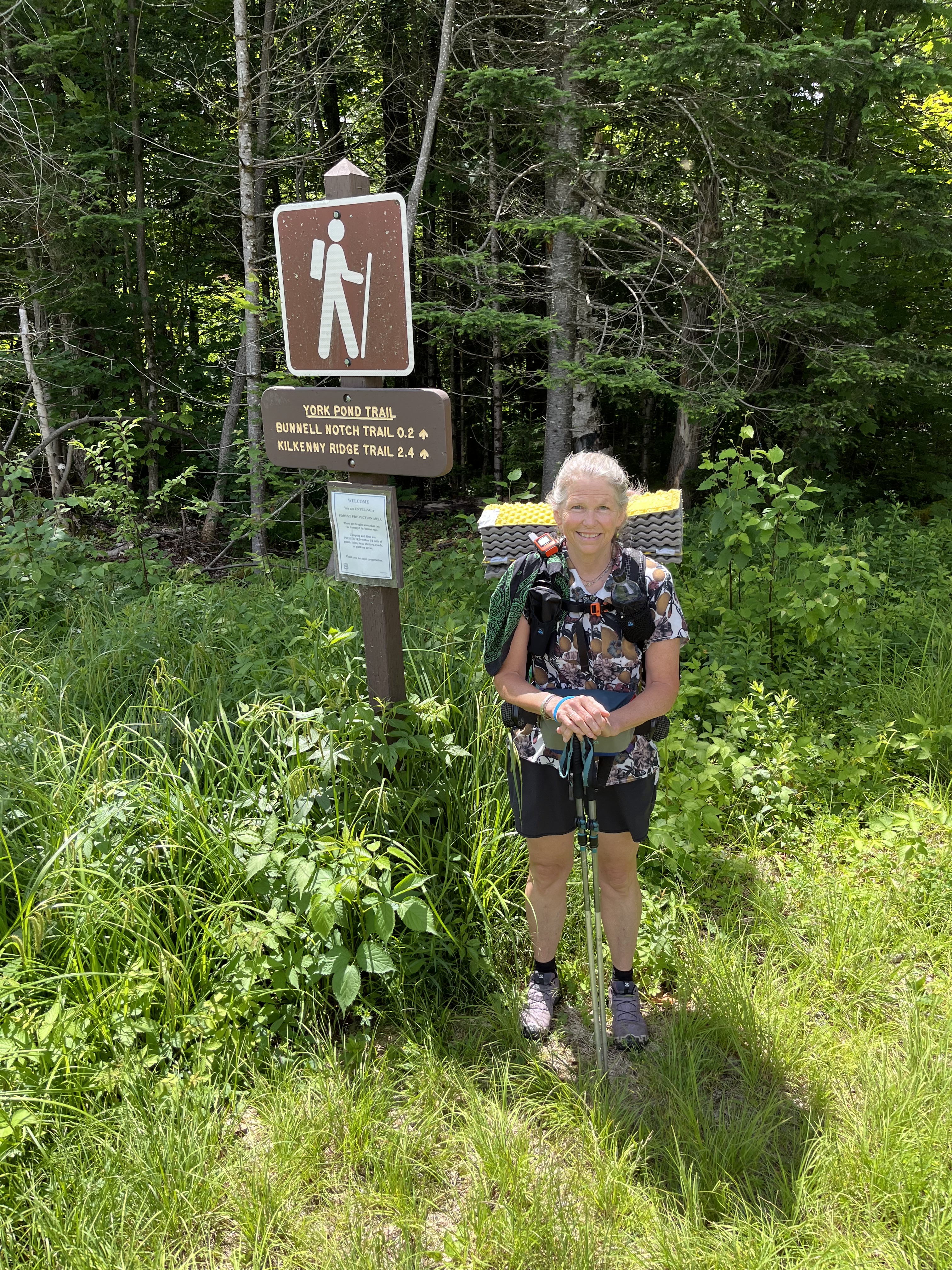
Storms
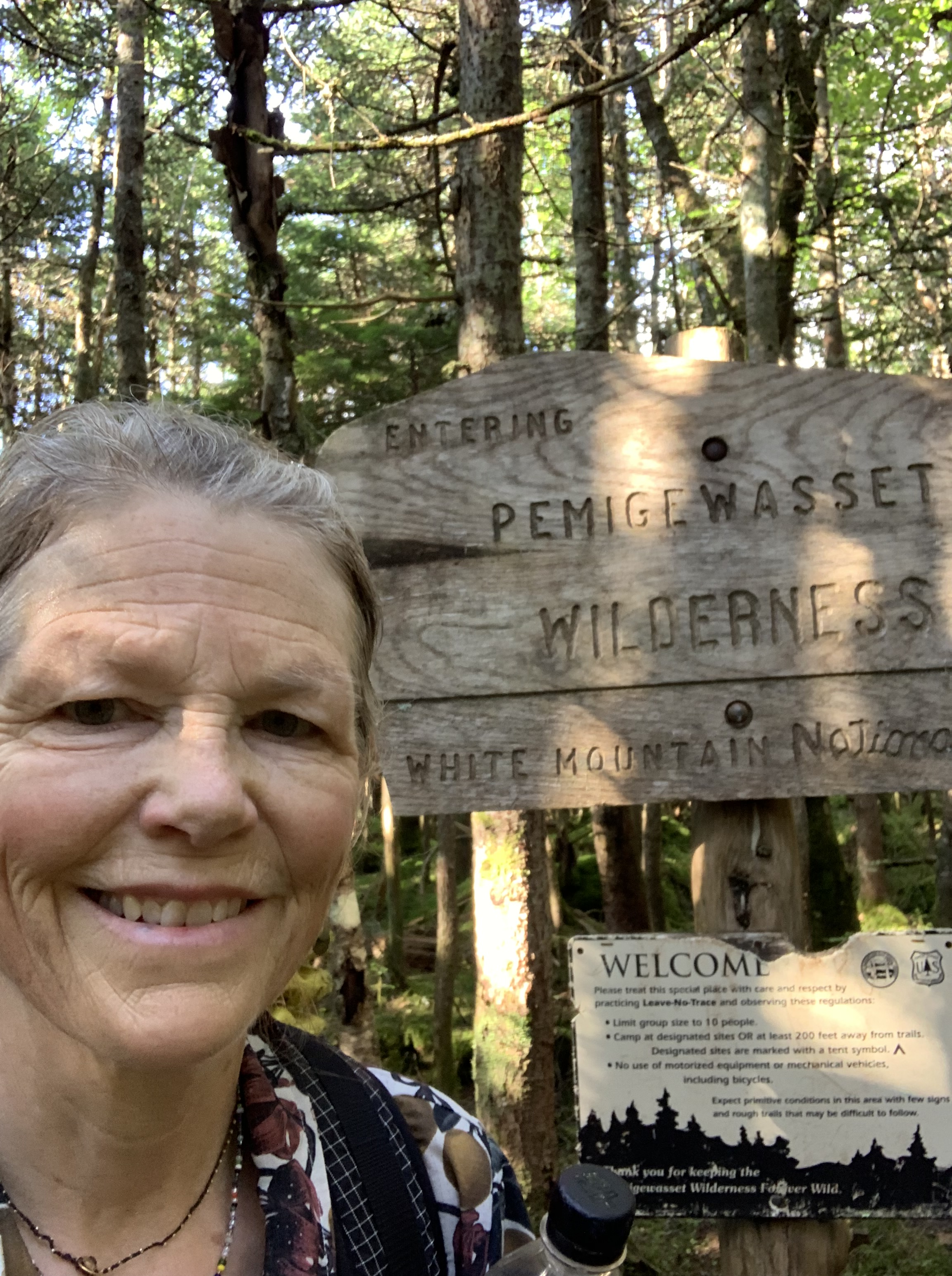
Because cell service would be scant the next few days as I circumnavigated the Pemigewasset Wilderness, I had taken screenshots of the weather predictions.
It didn’t look good for being above treeline – thunderstorms and heavy rain, with few places to bail out should things get dicey.
Nothing I could do about it, so it was another short road walk to the Hancock trailhead as rain started to fall.
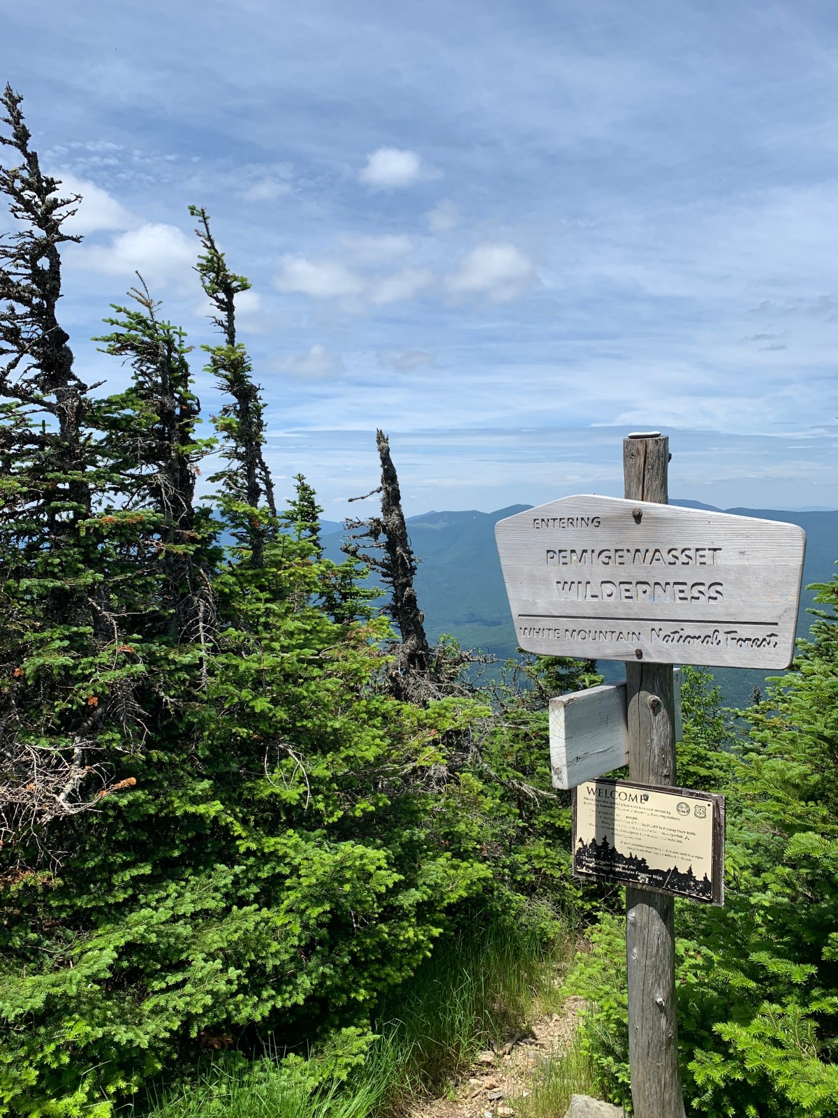
I didn’t even bother with my rain jacket for the quick out-back around the Hancocks loop, skittering over wet rocks and back down to the Cedar Brook Trail, a remote marshy connector leading to my biggest ford of the trip, the East Branch of the Pemi River.
Fortunately, the rain let up as I bushwhacked down to its bank, took off my shoes, and waded in.
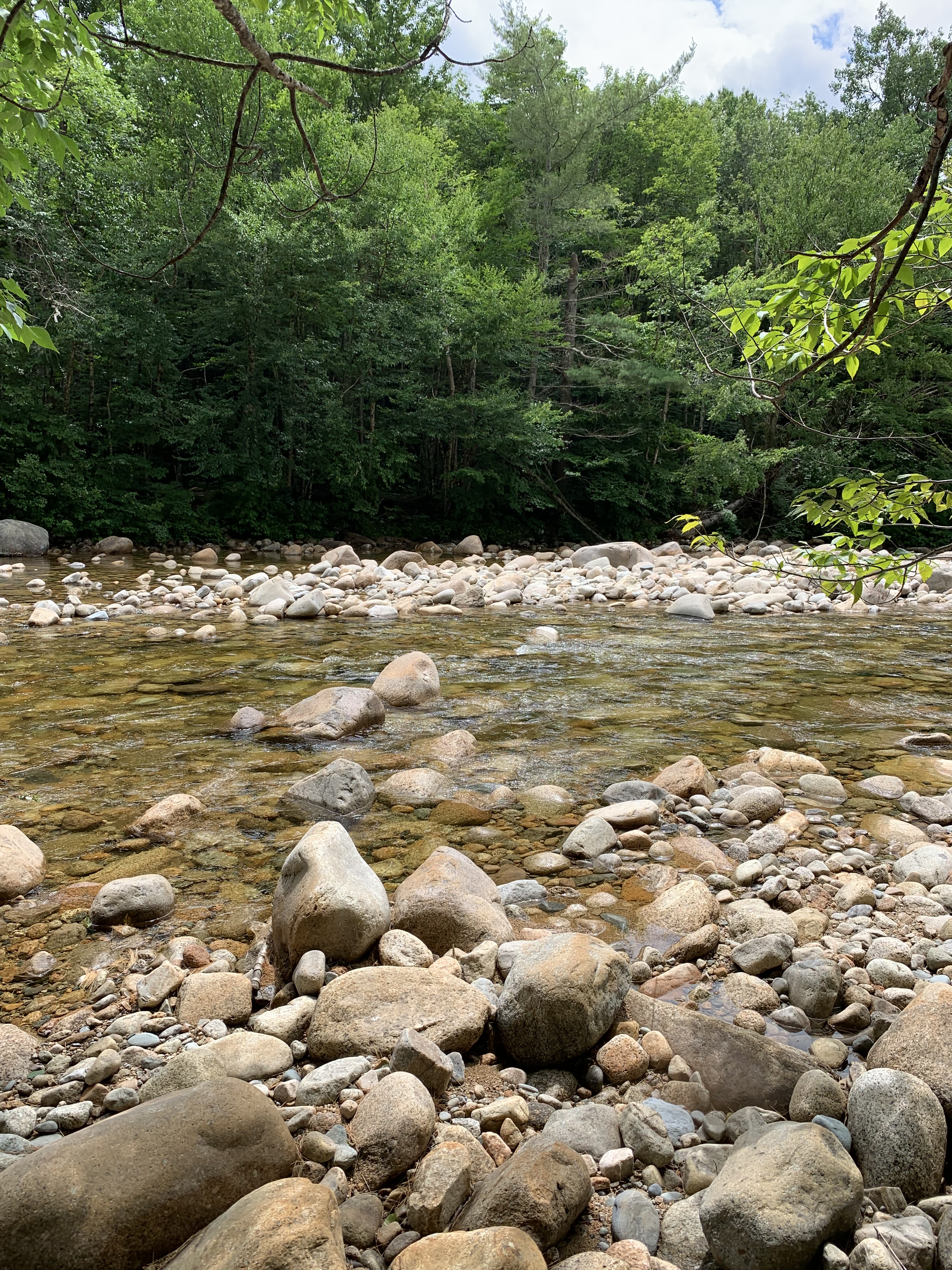
Thankfully, it wasn’t nearly as deep as I thought it might be; after a quick lunch on a smooth stone, a short bushy whack up the opposite bank led to the Bondcliff Trail.
I really, really, really didn’t want to get stuck on top of the Bonds in an afternoon thunderstorm, so I was pretty discouraged when it began to pour just south of Bondcliff.
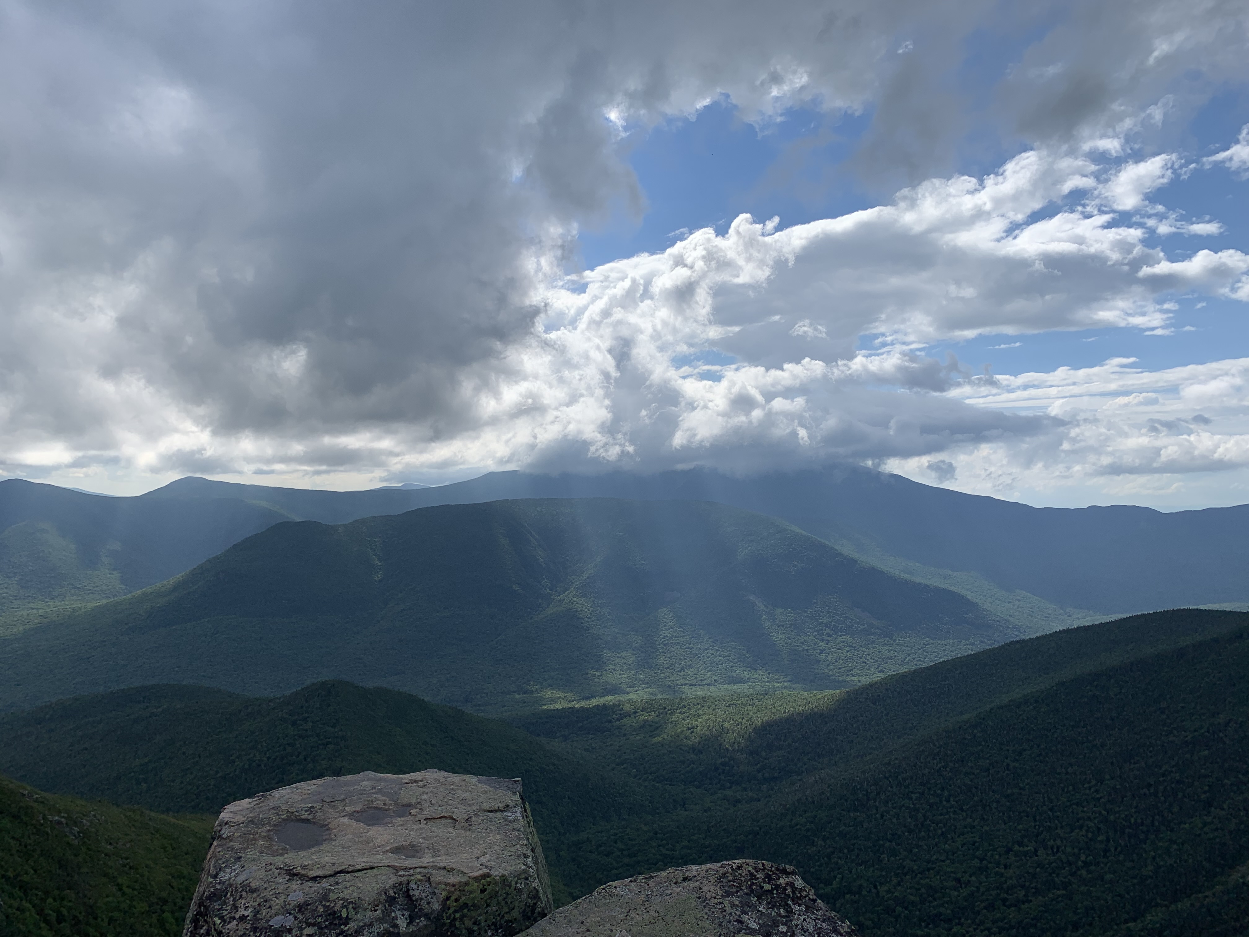
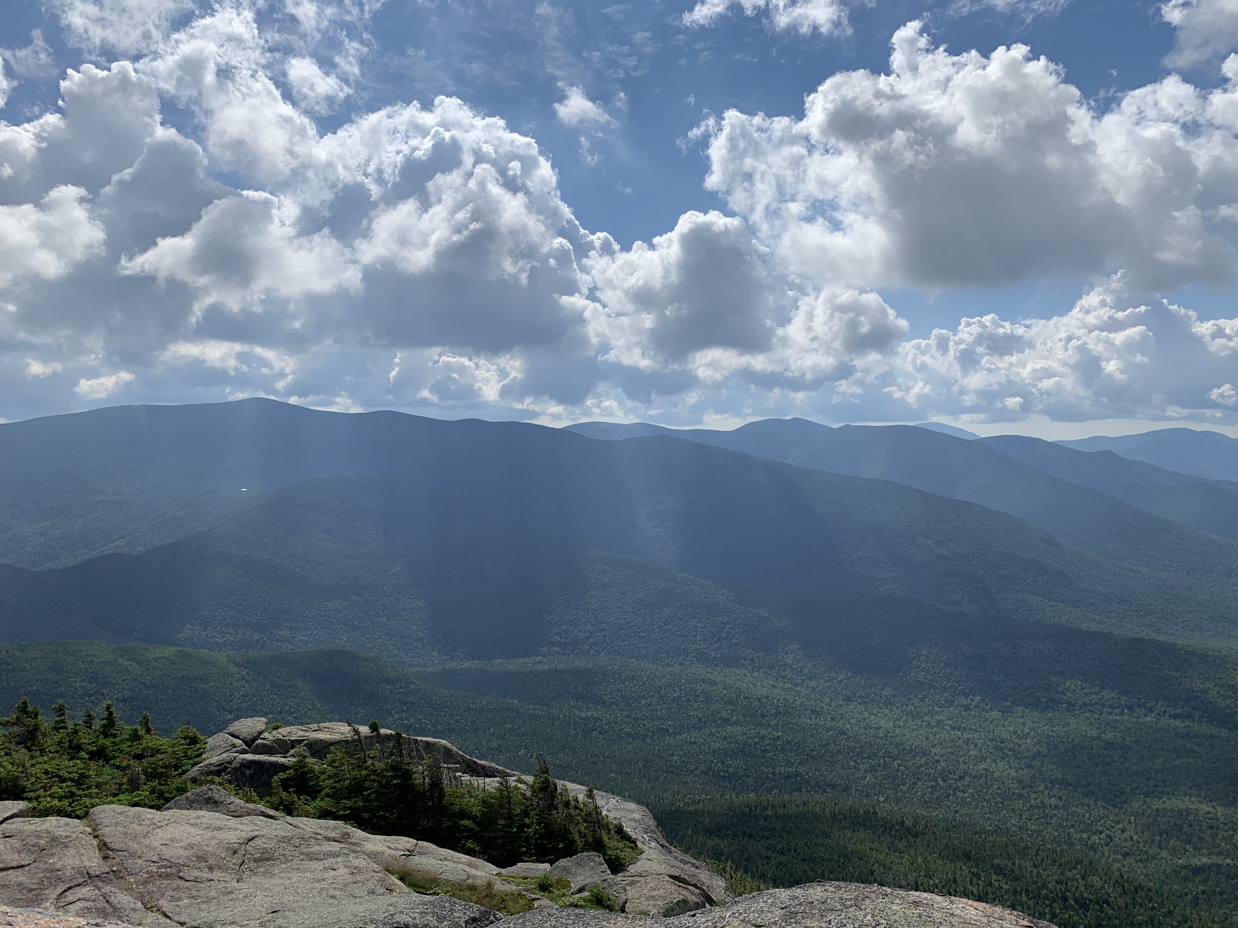
However, when I finally reached the Hillary Step, a steep face just below treeline, the skies cleared and I was rewarded with a dramatic view of tomorrow’s goal, Owl’s Head, sitting pretty in the middle of all that wild.
The rain held off over Bond and West Bond. I had planned on staying at the Guyot Campsite, but a stealth site appeared just before the spur trail, so I dropped my gear to stake a claim. Unfortunately, I was out of water and had to climb 500 stairs (yes, I counted them) down to the water source, then 500 back up to my spot. Needless to say, after walking some 21 miles over the last 14 hours, I was not in the head space to admire the intricate trail work.
That night, another storm hit, soaking everything not floating on my sleeping pad island.
Day 10 – .9 south of Greeley Ponds trailhead to .1 south of Guyot Campsite: 21.3 miles
Peaks: Hancock, South Hancock, Bondcliff, Bond, West Bond
They Say Suffering Produces Perseverance
Every long distance trail or route has its own unique challenges. For me, the Appalachian Trail was an exercise in shere willpower, the constant mileage and privation doing battle with the desire to finish. On the Northville Placid Trail, the insect assaults were relentless. Swamps and slime are everyday obstacles on the Florida Trail, and the language barrier coupled with jockeying for a spot every night in the albergues were tricky on the Camino de Santiago.
I was finding that my biggest stress on the Direttissima was figuring out where to tent every night. So much of the route traversed ridgelines where it was illegal or unwise to camp. This resulted in much longer daily mileage or compromising on comfort or safety.
I had 5 peaks to cover the day after the Bonds and was looking forward to finally tenting at an established campground, 13 Falls, deep in the heart of the Pemigewasset Wilderness.
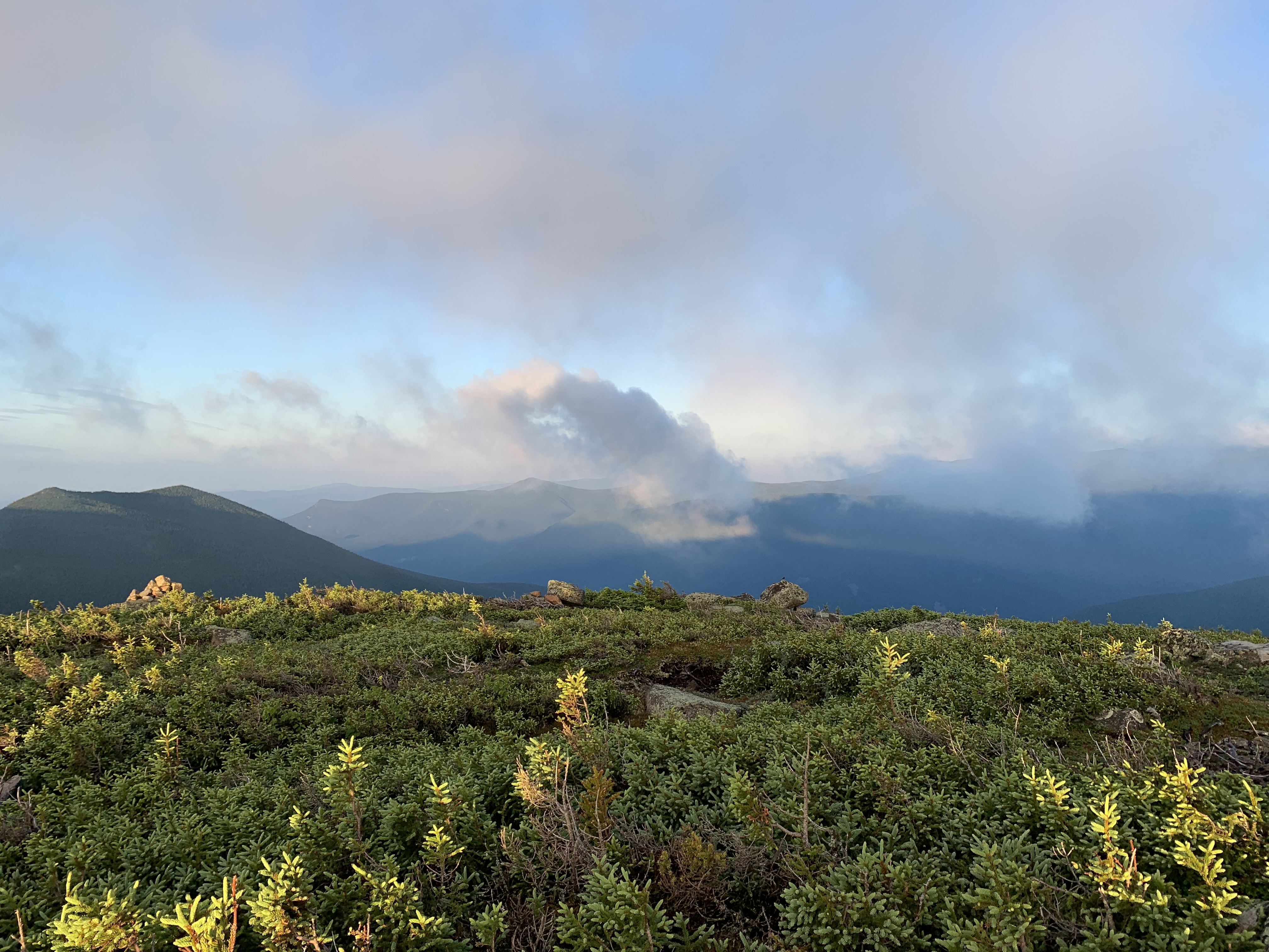
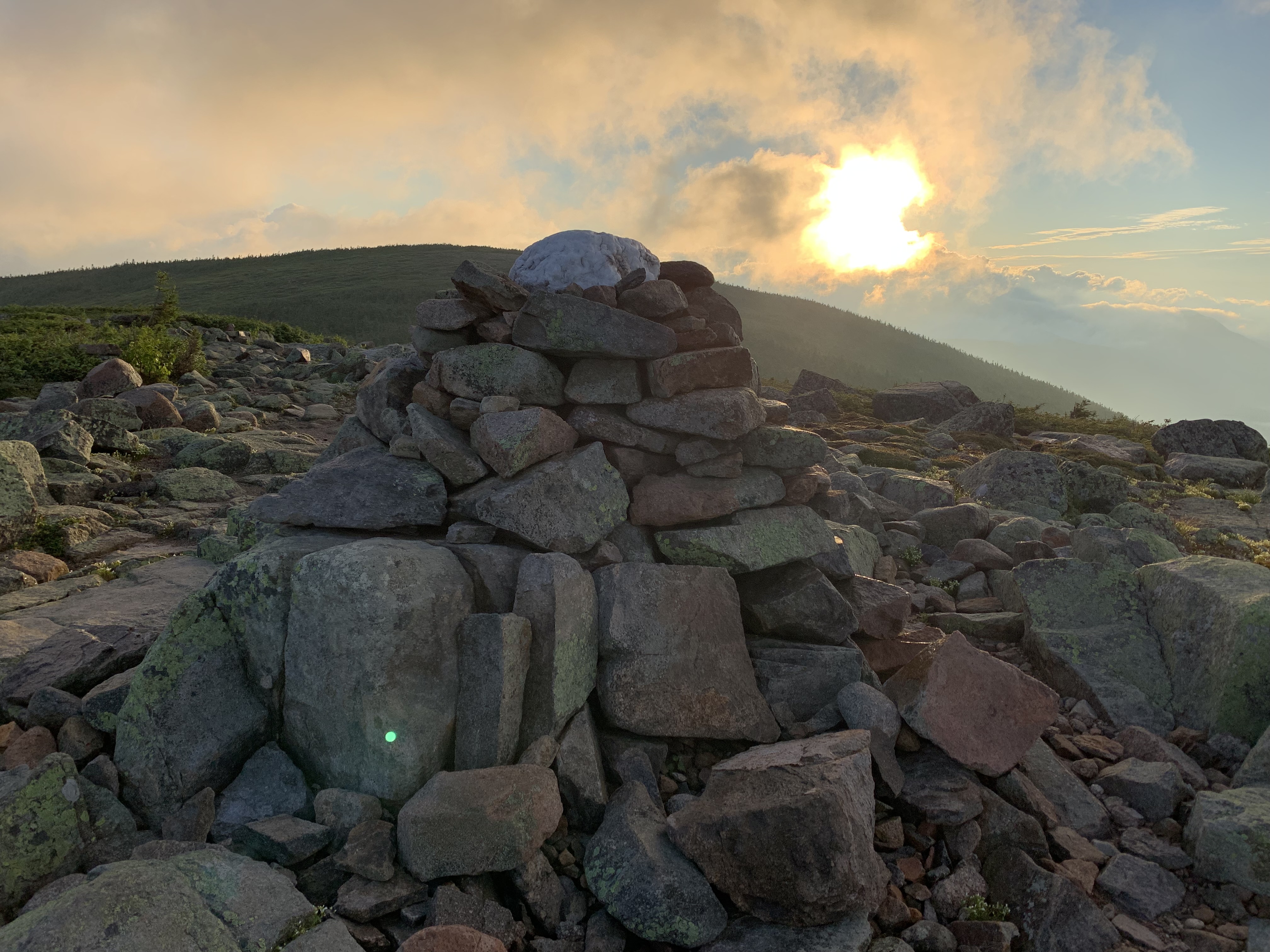
Rock and cloud were ablaze on the way over to Zealand, my first out-back of the day.
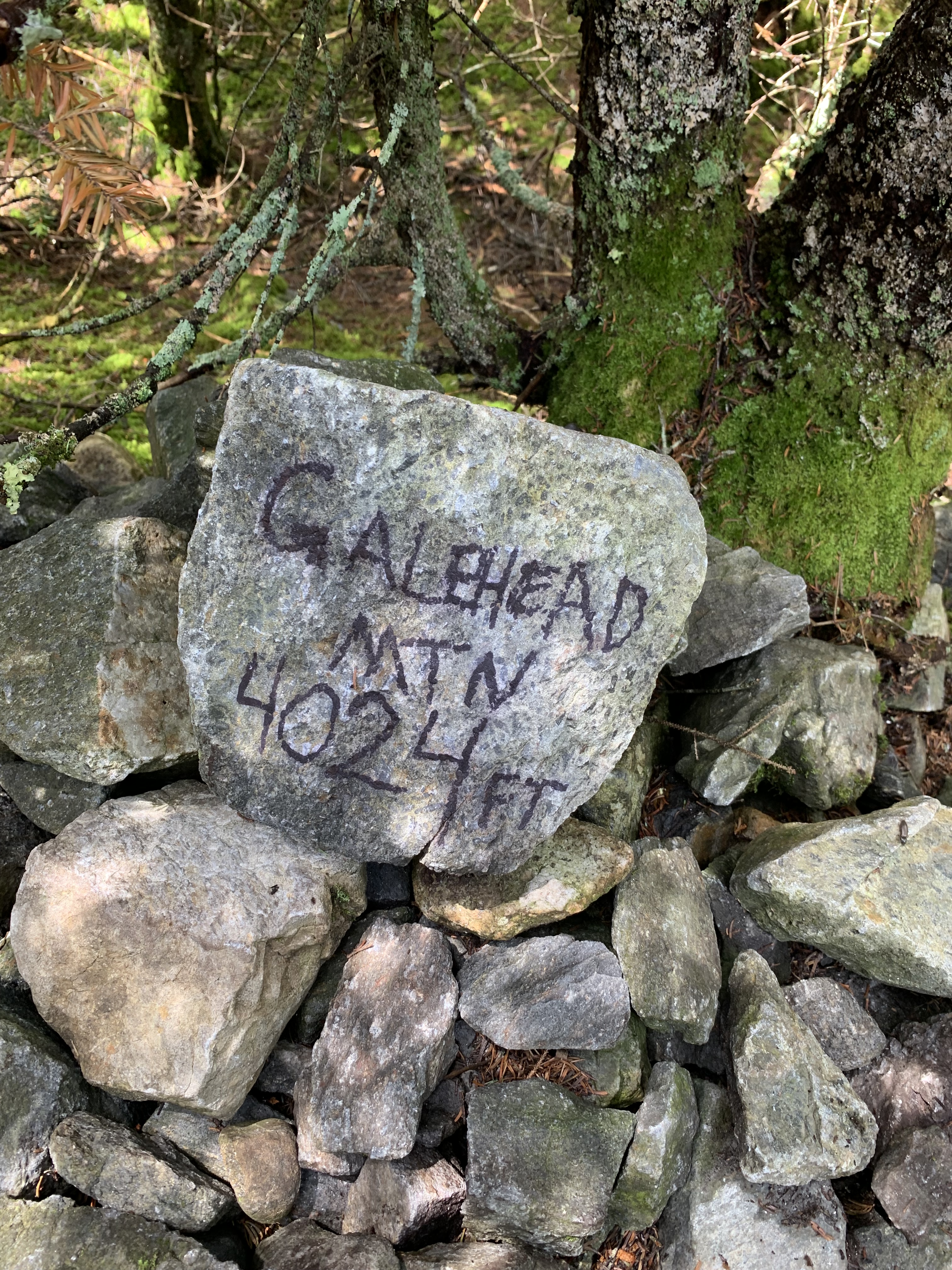
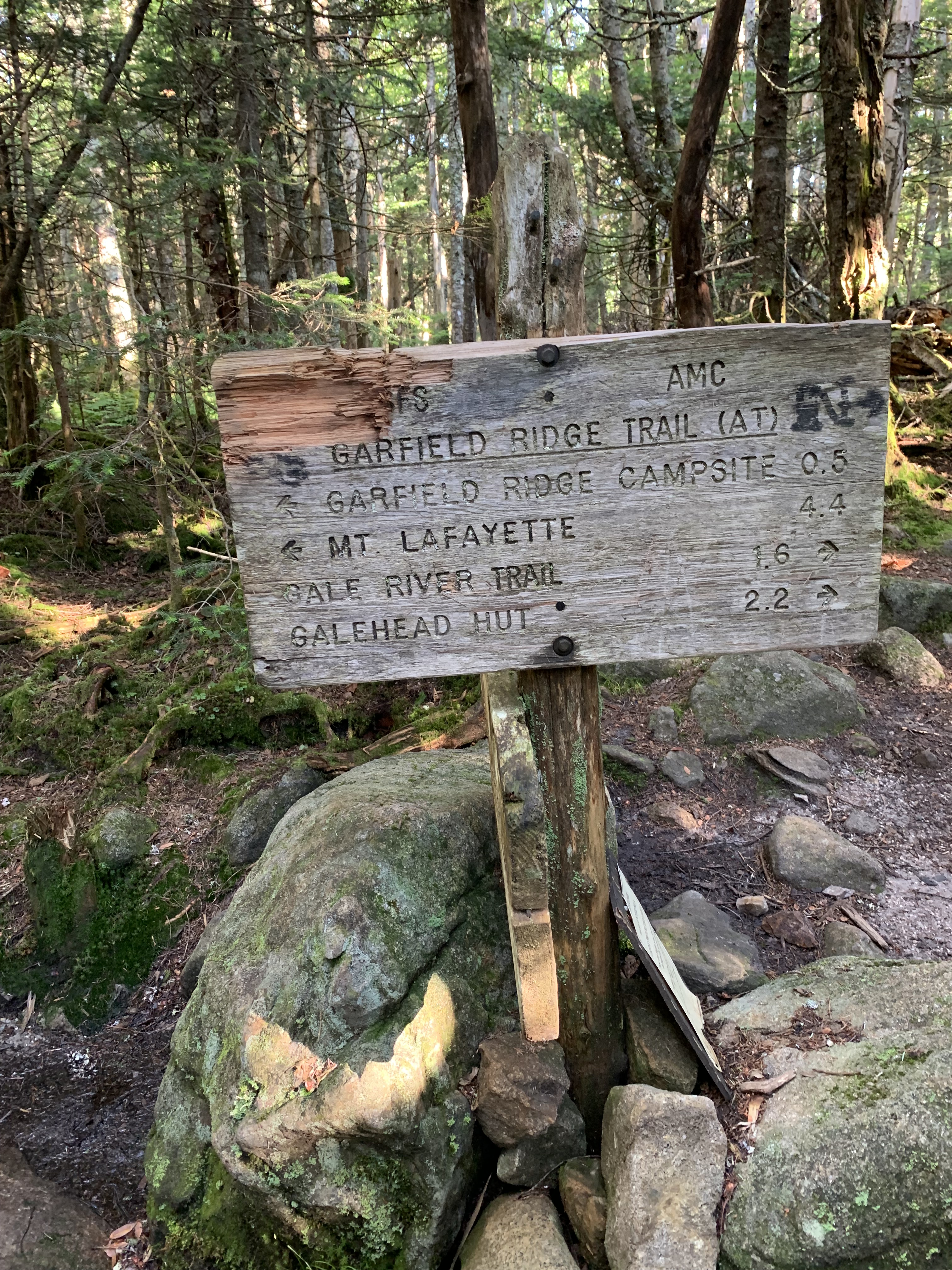
Next it was South Twin, a North Twin out-back, and lunch and a gear-drying session at Galehead Hut.
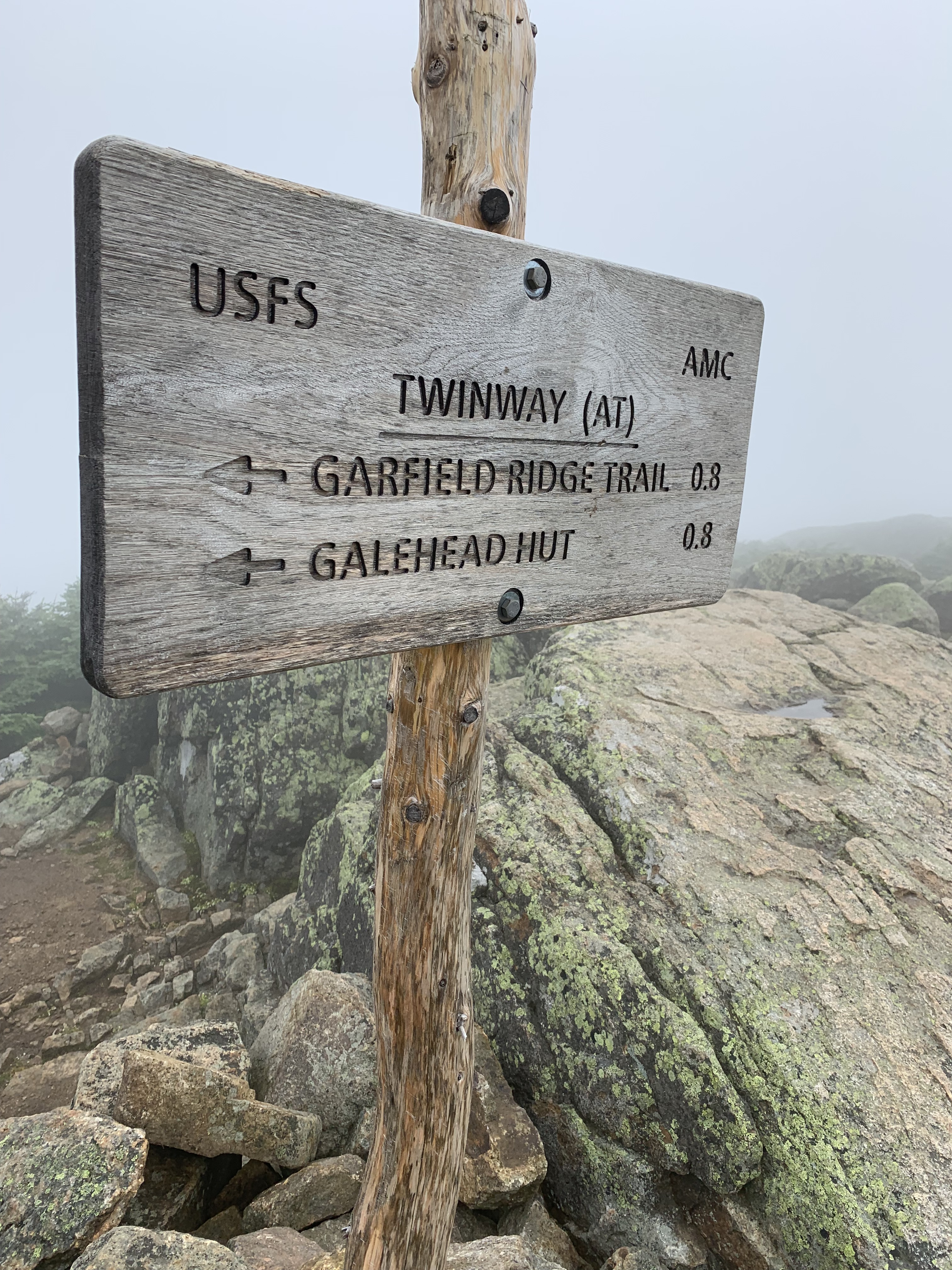
Galehead was another short out-back, then it was down into the bowl to drop my stuff at 13 Falls for a nine mile out-back to Owl’s Head.
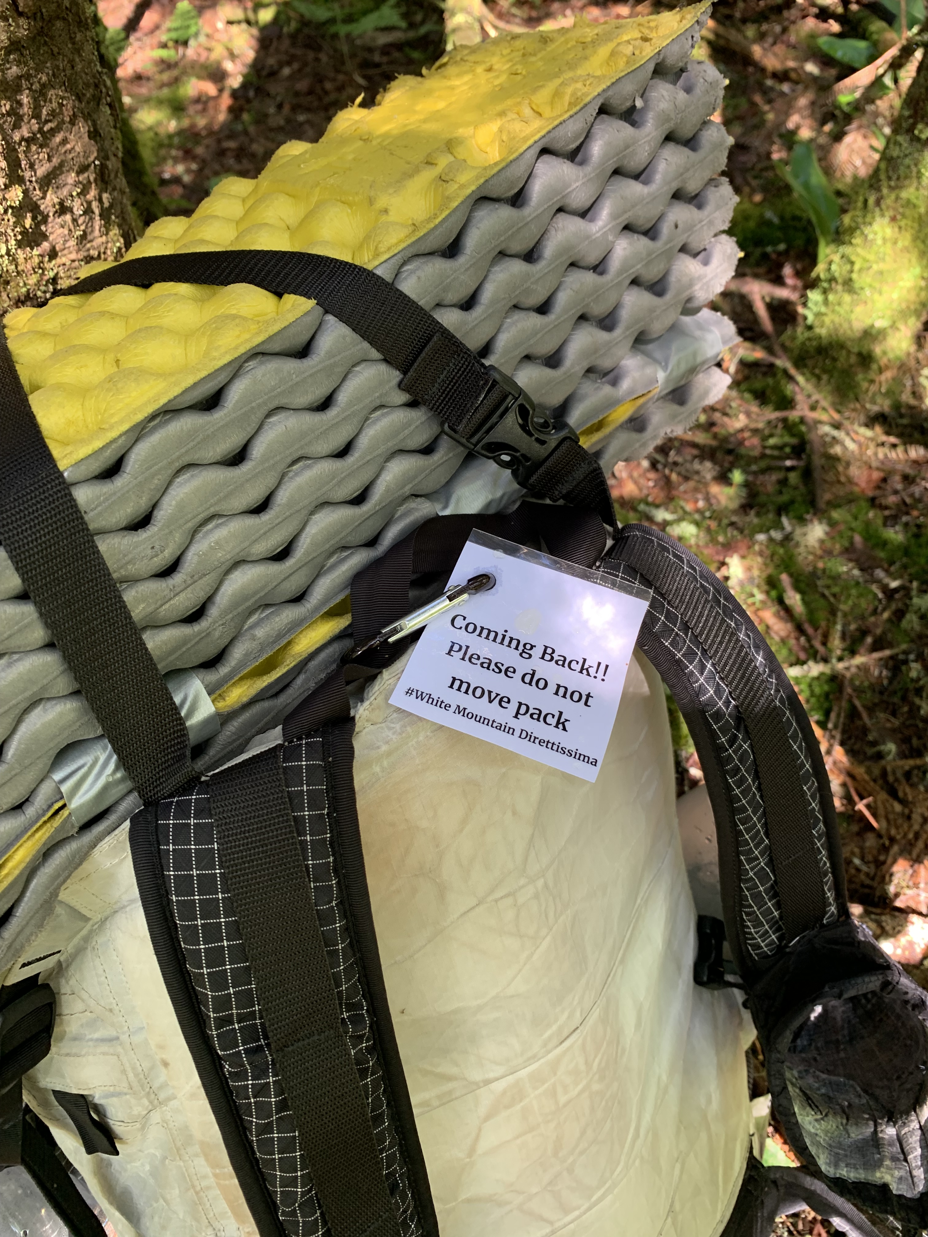
I would have preferred to set up my tent before heading out but couldn’t because my Gossamer Gear “The One” used trekking poles as supports. Instead, I staked down the corners and stuffed everything inside but snacks, water, and my Garmin inReach, the gray lump looking like a stuffed python. I’ll be back.
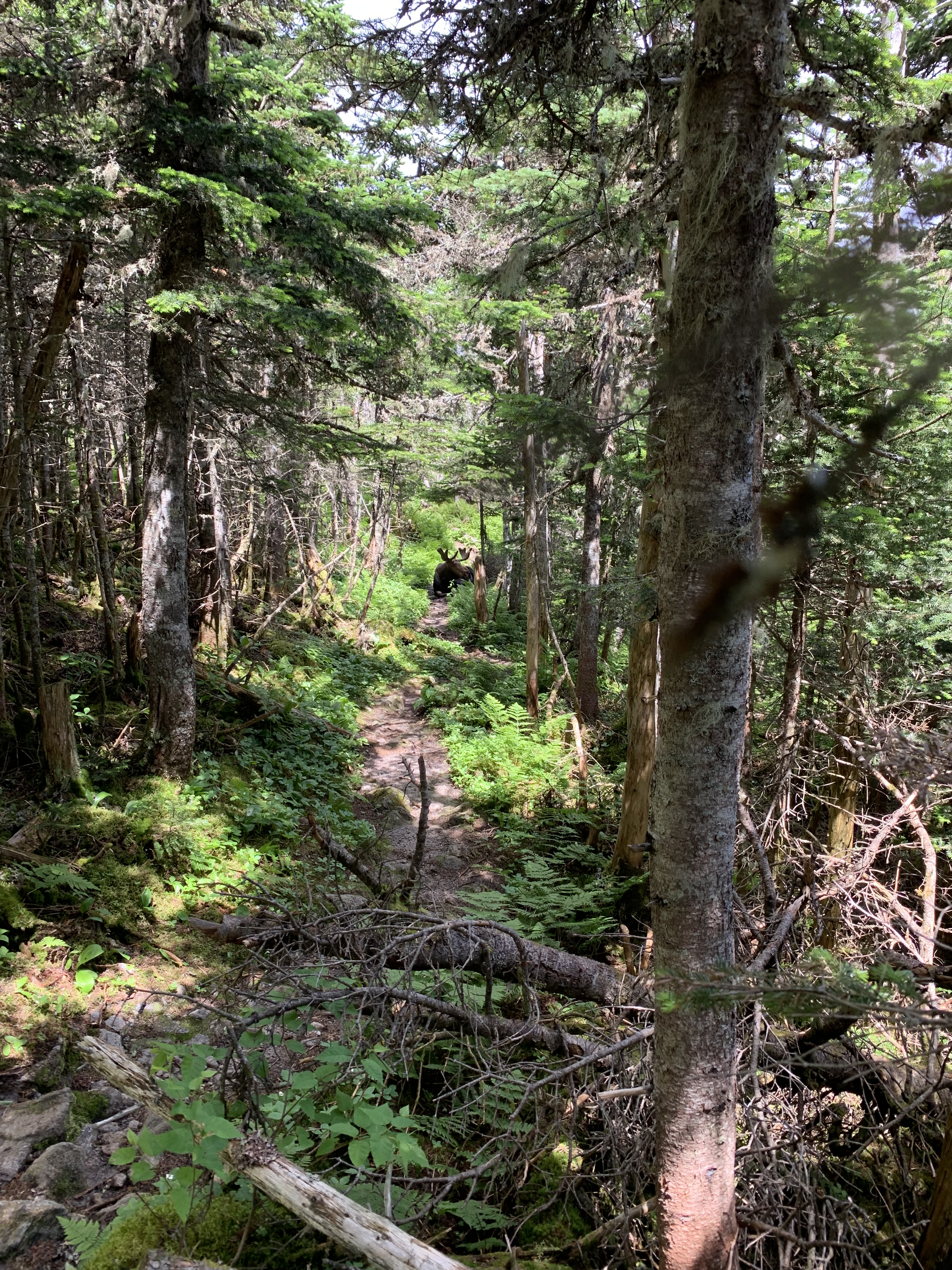
It came as no surprise that the trail out to Owl’s Head was wet and overgrown, oftentimes traveling right up a flowing stream. It was quiet; I imagined myself so late on a Sunday the only one in the whole expanse.
IYKYK
The Owl’s Head slide was dry from the blazing sun, scree and slab hot to the touch. Sun sifted through branch on the flat to the finish. Tag, turn around.
I couldn’t have been more surprised when, on the way back to 13 Falls, a voice called out from up ahead, “What!? Another person!?”
Ha. My thoughts exactly as a trail runner came into view. We compared notes on the craziness of an Owl’s Head pursuit, whether a summit or a circle around. Another unexpected phenomenon to distract my tired body and brain as I raced the dark back to my python.
If suffering did indeed produce perseverance, I was all in.
Day 11: .1 south of Guyot Campsite to 13 Falls Tentsite: 21.6 miles
Peaks: Zealand, South Twin, North Twin, Galehead, Owl’s Head
Spa Day
Although I was happy to be tenting at an established site, it meant I had to walk extra steps back to the cooking area/bear box from my tent platform once I arrived.
I forced myself to eat a hot supper, though well after 9:00. While sipping steamy noodles, I decided to make the next day an easy one. Let up on the miles, tent early, linger on familiar peaks. Call it a Spa Day.
Spa Day began the following morning when my alarm did not go off at 4:04 AM like it usually did. I woke up naturally, sometime around 5, packed up at a leisurely pace and ate a slow breakfast while tending to my sore muscles and feet. Arnica and Leukotape liberally applied, I brewed a second cup of joe for the road, stopping to check the weather posted at the caretaker’s station.
Barnacles.
The next 40 miles or so were largely above treeline, and more storms were on their way; timing over the next 48 hours would be critical.
So much for Spa Day.
At least most of the remaining mileage would be on my old friend the Appalachian Trail, memories fair and foul around every turn.
Like the murderous tree I had tried to use back on my 2010 thru-hike to lower myself down a steep watery section below Garfield; instead, fingers slipped and I tumbled backwards. Thanks a lot, tree.
Garfield always reminded me of my first overnight hike with my two youngest boys, a much happier happenstance.

Out of cell range, I hadn’t been able to open a book on Libby or download any recent podcasts. Music served instead, but a song shuffles in like a plank to the gut.
Like memories that won’t let go, I’m out here trying to get all untangled…
I’ve always felt close in these mountains to the son we lost, but, ambushed, his song leaves me choked. I try to sing along, let the face leak, let the feet find their own way.
He always hated hiking anyway, that one.
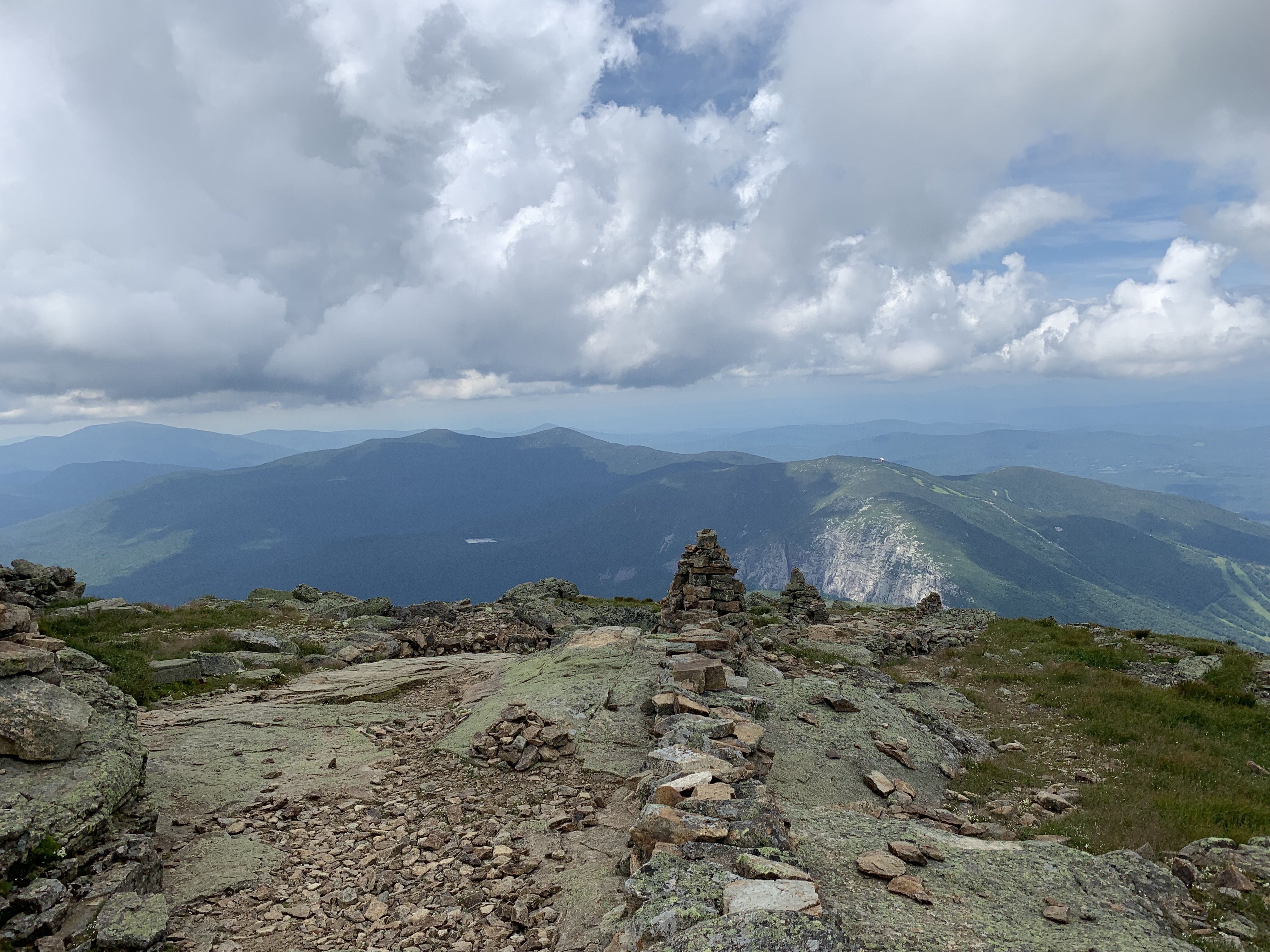
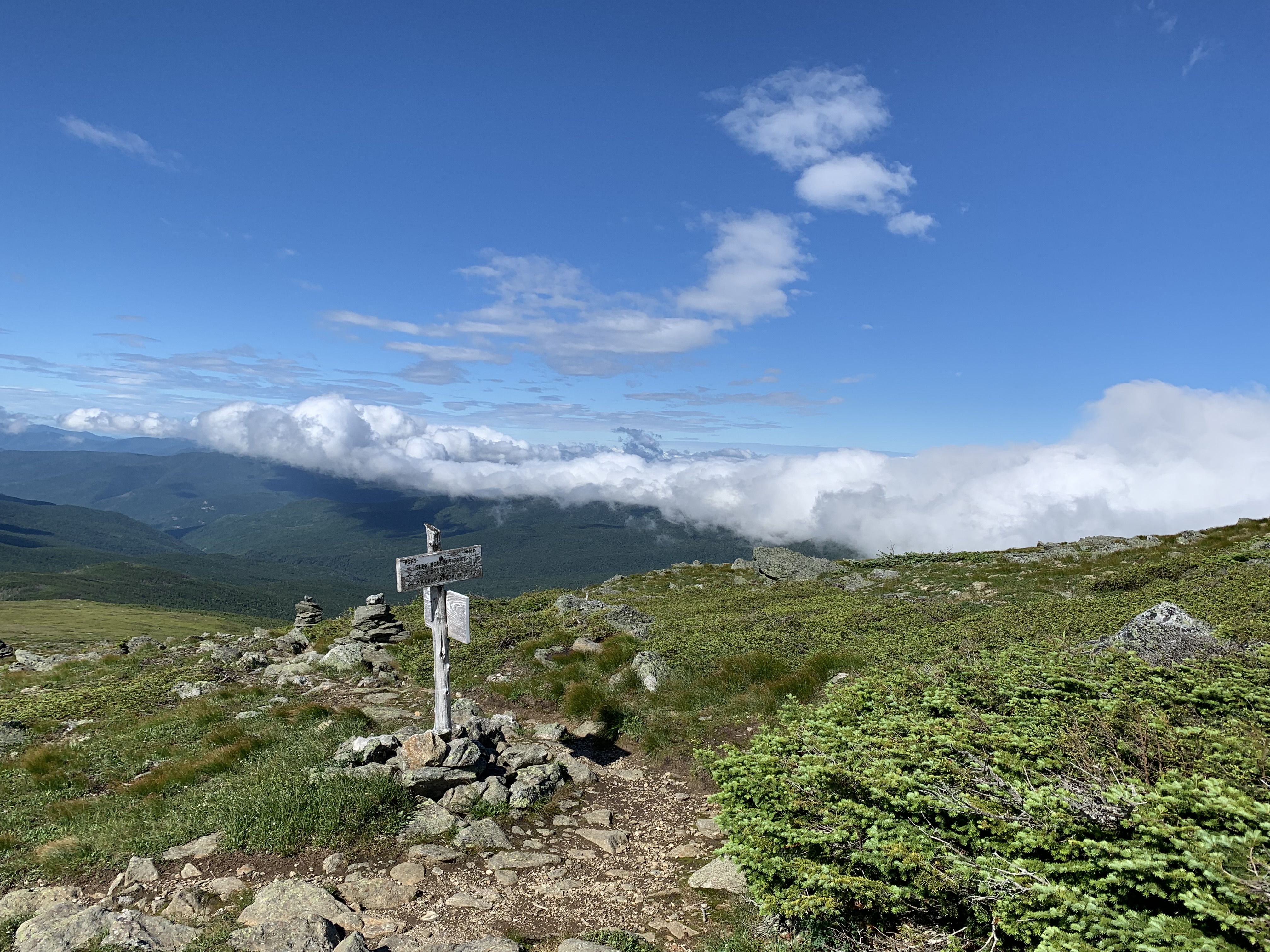
After a long climb, I gain the ridge. Lafayette is packed on this – what day is it again? I find a spot away from the crowds, not trusting myself to speak, and take stock of the predicted weather.
I’d need to cross the ridge, do a Flume out-back, and get close to Cannon if I hoped to avoid the notoriously steep and slippery Beaver Brook Trail the following day in the rain. Game on.
At last, I touch Liberty, the final summit of the day, and book it down to the highway below.
No trail magic under the 93 bridge, another AT memory, so it’s a race to reach a woody spot for the night, the closest thing to a spa all day.
Day 12 – 13 Falls Tentsite to .6 south of Lonesome Lake Hut: 18 miles
Peaks: Garfield, Lafayette, Lincoln, Liberty, Flume
Finish
I’m up early the next day to breakfast outside the Lonesome Lake Hut before the last out-back of the trip, Cannon.
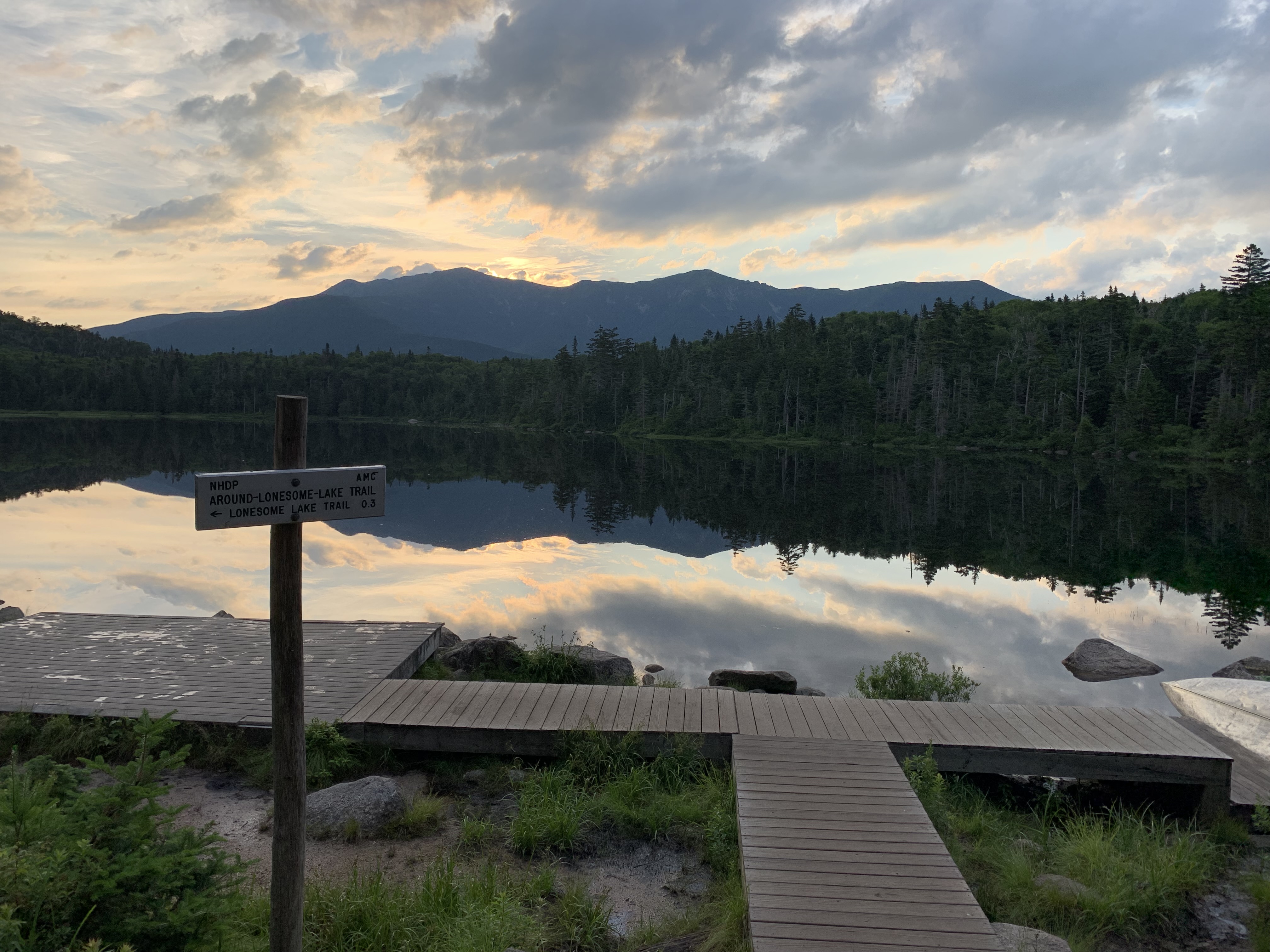
Punchy, I have the viewing platform all to myself. It almost feels like I’m done.
I make the questionable decision to head to the Kinsmans across “The Cannonballs.” Those series of sinister humps come by their name honestly.
White-knuckling it down the boulder pile on the other side of South Kinsman, I’m thankful the storms have held off. It takes the rest of the day to get down to the Kanc, where I gobble down a tuna packet and ditch my trash in the Beaver Brook parking lot, mentally preparing for the next vertical 1.5. I’m nearly out of food, battery life, and patience.
Beaver Brook will be my only shelter stay of the trip, and I’m looking forward to keeping stuff dry should the rain make an appearance. I’m crushed when a woman coming down tells me the place is crawling with boy scouts.
“Good luck!” her son shout ominously as he slides by.
Sure enough, the shelter is filled to capacity, and we’re woken several times during the night by a scout throwing up.
4:04 wakeup it is.
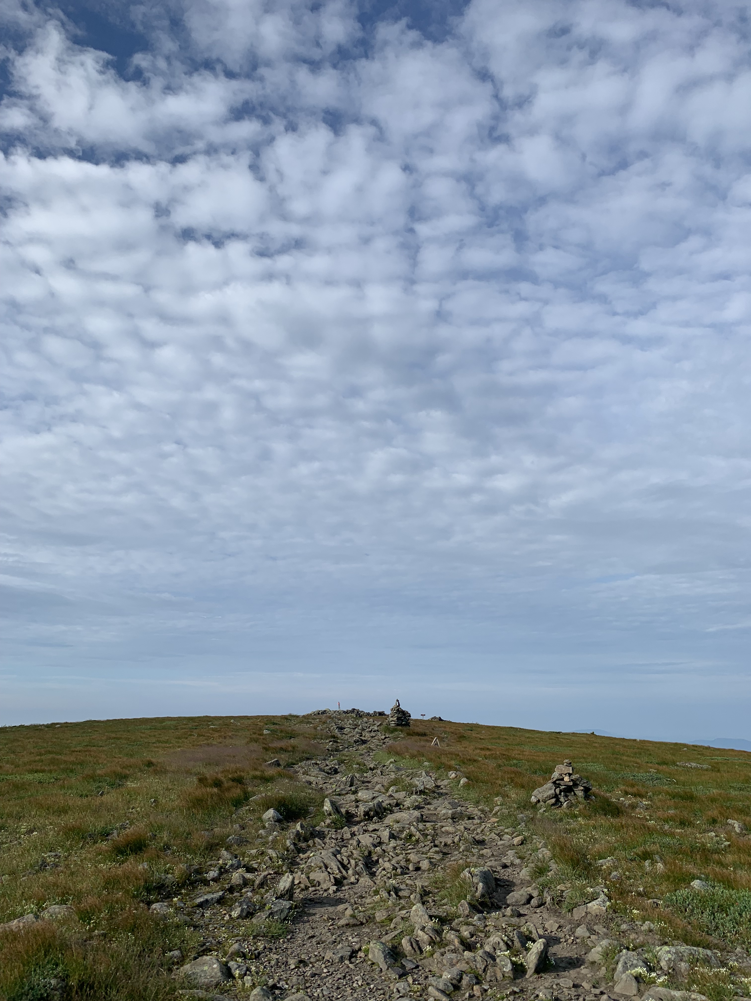
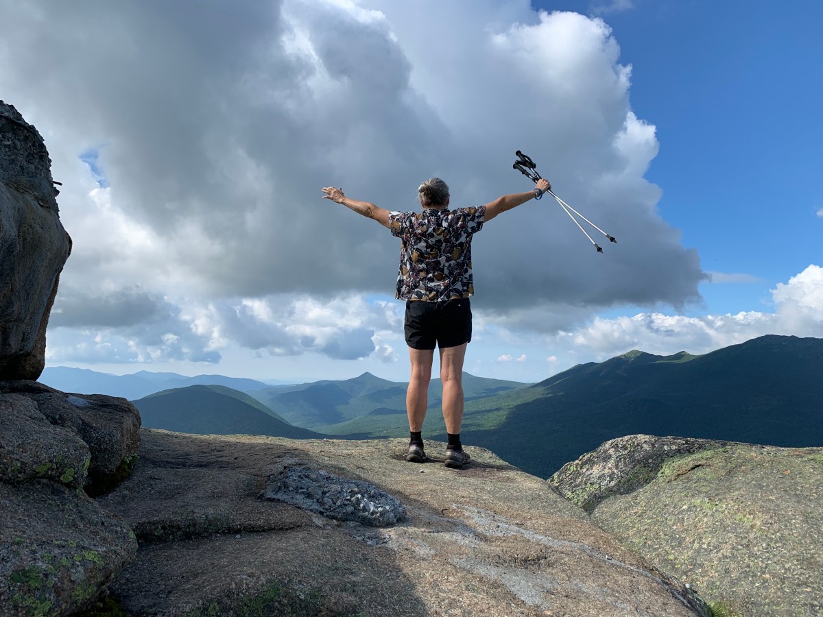
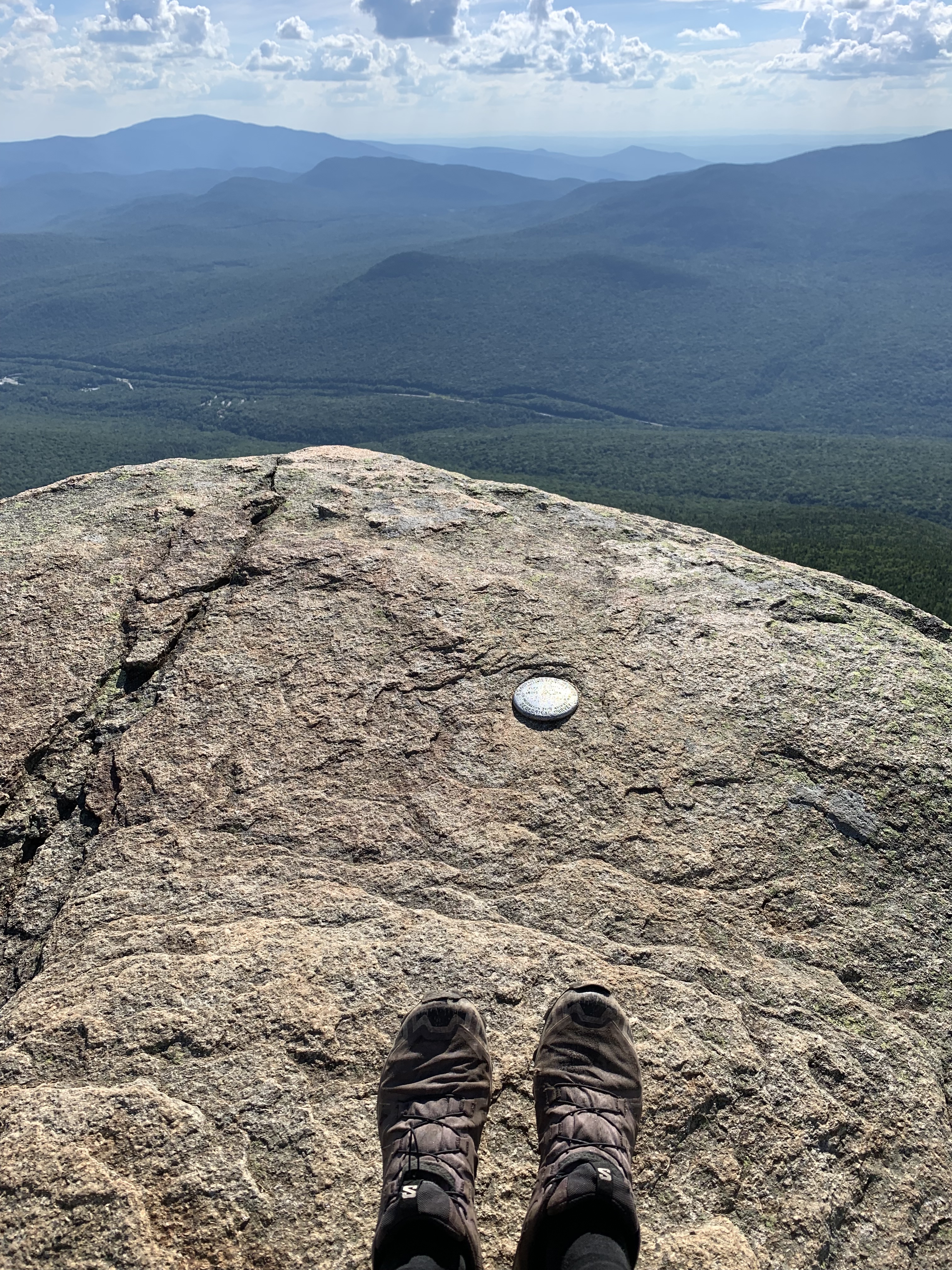
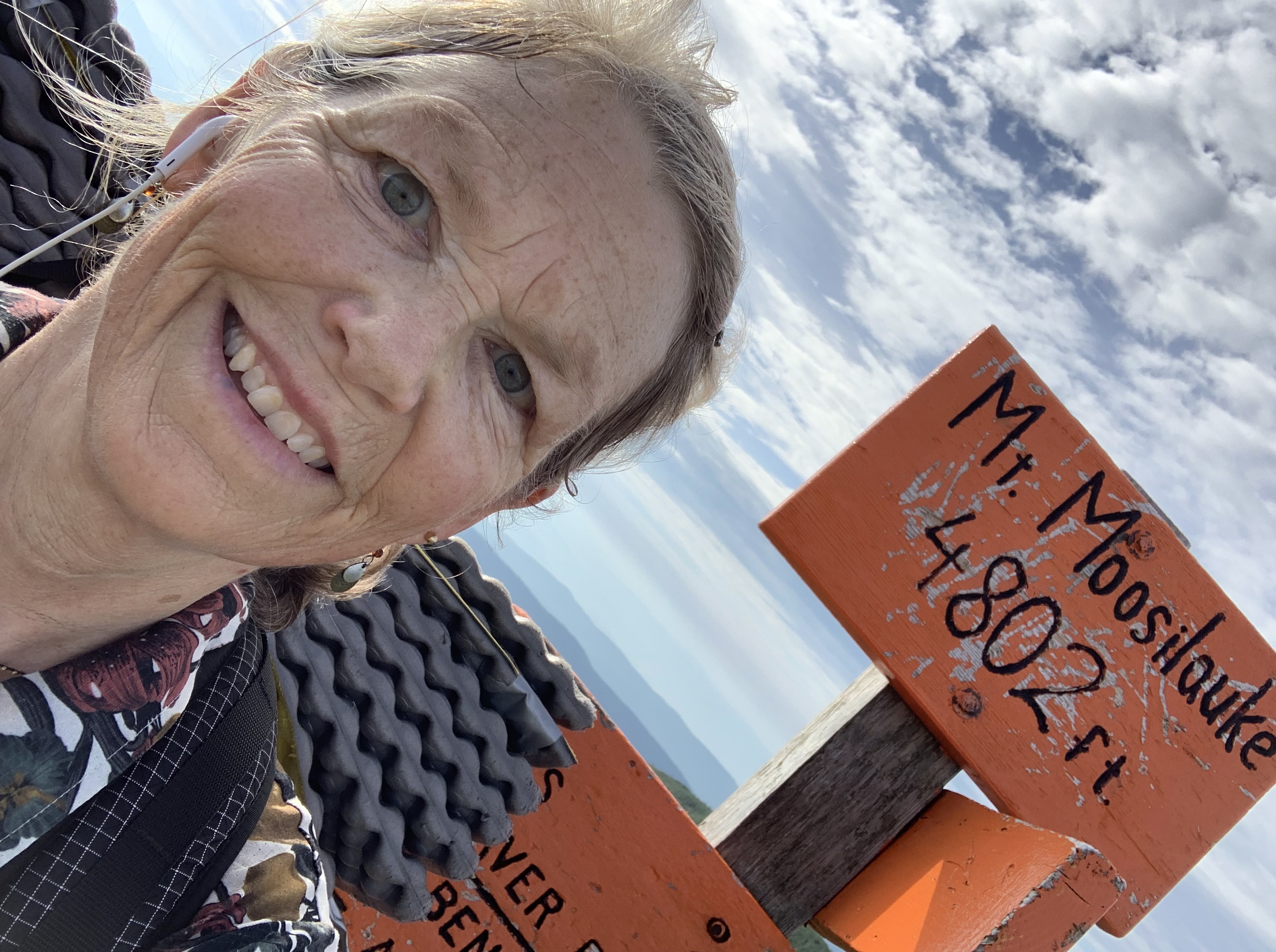
The weather holds for the Moosilauke summit, my fave. First to arrive, I have time to process this long crazy escapade.
The Direttissima has humbled me in ways I never anticipated.
By far, it ranks as the hardest hike I have ever done. The punishing elevation, rocky footbeds, and stress of the storms beat me up body and soul. Every precious moment had to be earned, but I suppose that is what made it so dear.
And I wasn’t yet done. To finish, I had to make it down to the trailhead which, for once, was a pleasant (mostly) dirt downhill.

Day 13 – .6 south of Lonesome Lake Hut to Beaver Brook Shelter: 18.8 miles
Peaks: Cannon, North Kinsman, South Kinsman
Day 14 – Beaver Brook Shelter to Glencliff Trailhead (finished 10:16 AM; 12 days, 22 hours, 16 minutes; 249.2 total miles; lost 7 pounds): 6.2 miles
Peak: Moosilauke
Walking Home
I say goodbye to the White Mountain maps of the FarOut app and hustle on to the Hikers Welcome Hostel as the skies finally explode.
I grab the package I’ve mailed myself, food for the final miles home, eat a whole pizza, and drink two Dr. Peppers while waiting out the lightning.
Unfortunately, the food I packed isn’t enough, and I’m down to 2 Liquid IV’s and a snack bag of chips when I pop out the following afternoon at the Smarts Mountain trailhead. It’s been a dicey trip down, slick slabs forcing me at times to scootch on my bottom.
I’m starving.
In the lot, a trail angel has left a case of water. Good start.
Next, two thru-hikers arrive who have been slackpacking the whole AT. The trail does indeed provide. Boomer and Quirk ply me with snacks galore from the back of their Jeep, and I’m ready for the 11 mile road walk to my front door.
The last miracle of the trip is walking by the Dartmouth Skiway base lodge and discover I’m on their WiFi.
Finally able to open Brianna Madia’s Nowhere for Very Long, it’s an apt listen as I change into crocs and walk the afternoon home.
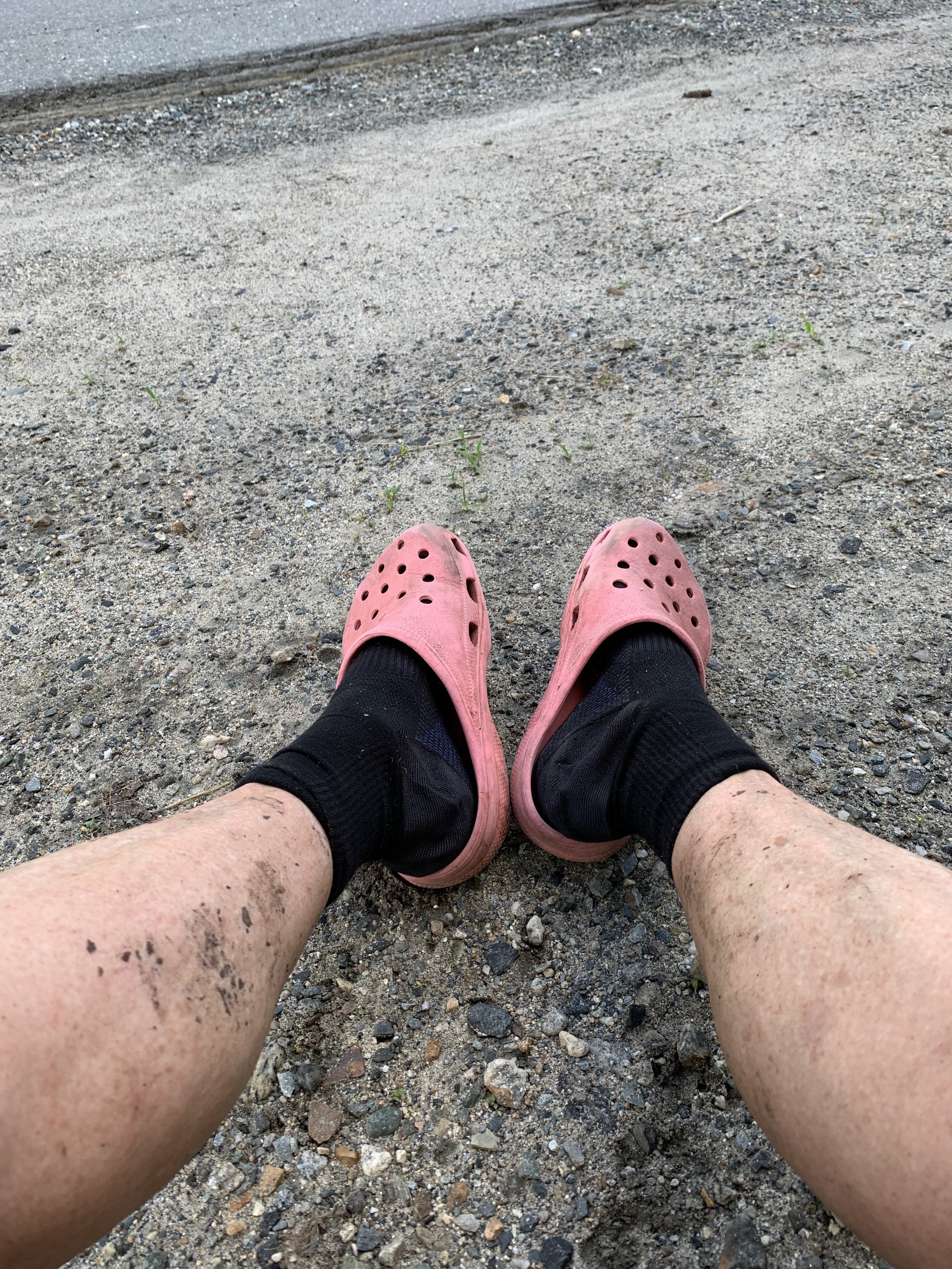
Air conditioning, water on demand, chairs.
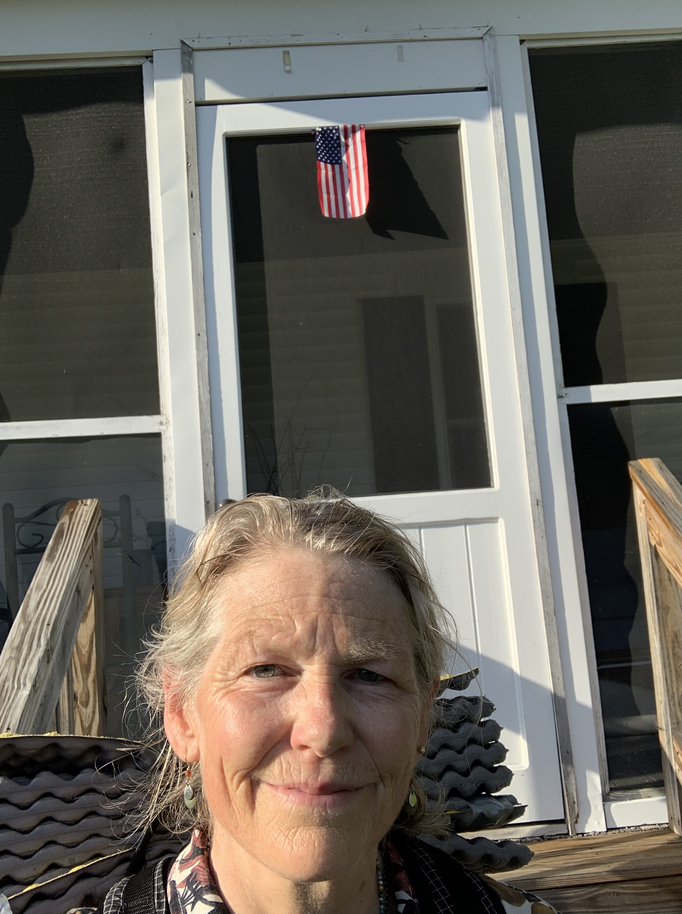
Home.
All the sweeter for having been gone.
Bonus miles: Glencliff Trailhead to 1 mile north of Cube: 13.5 miles
Day 15 – 1 mile north of Cube to home: 22 miles