
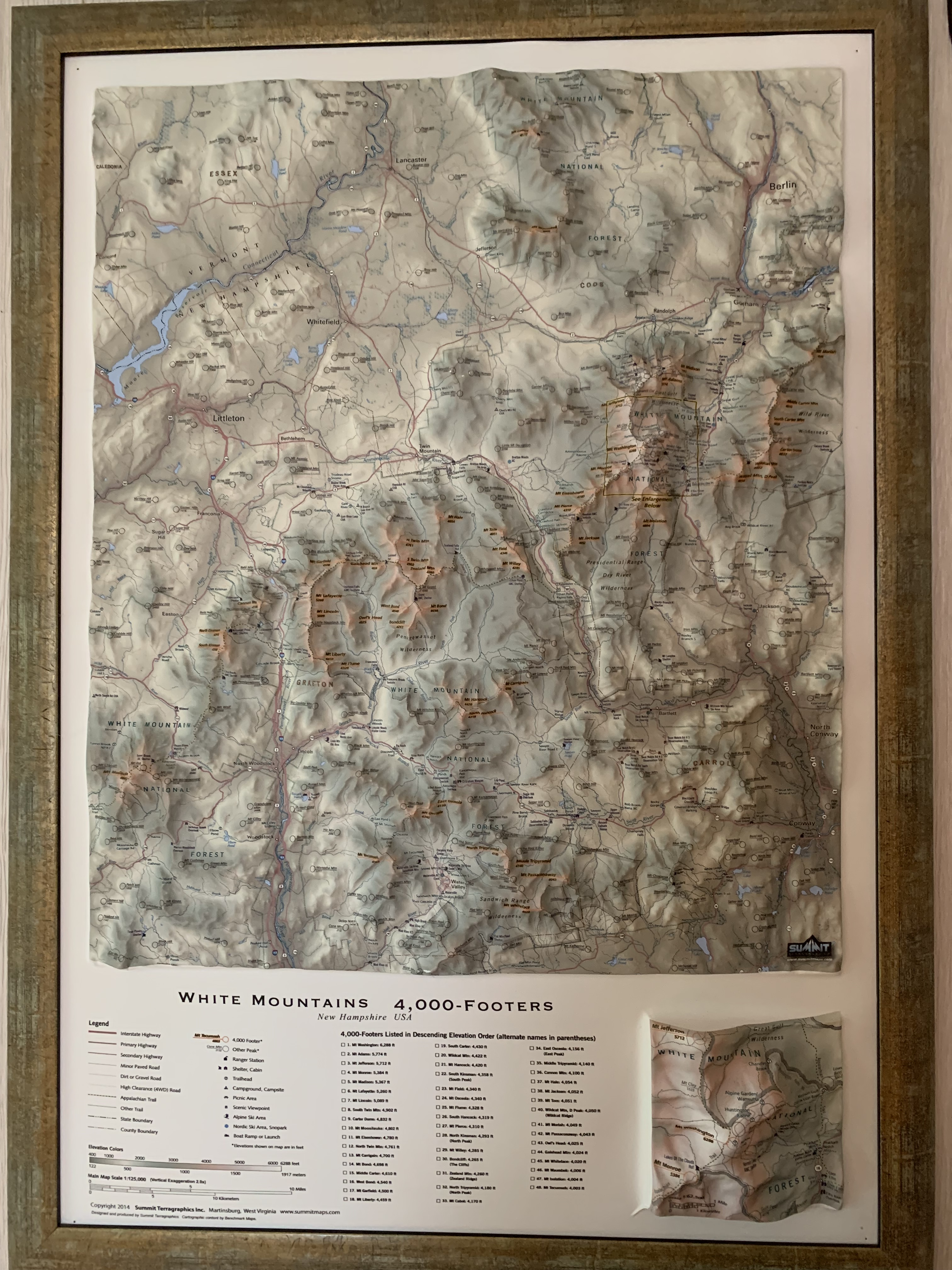
The Route
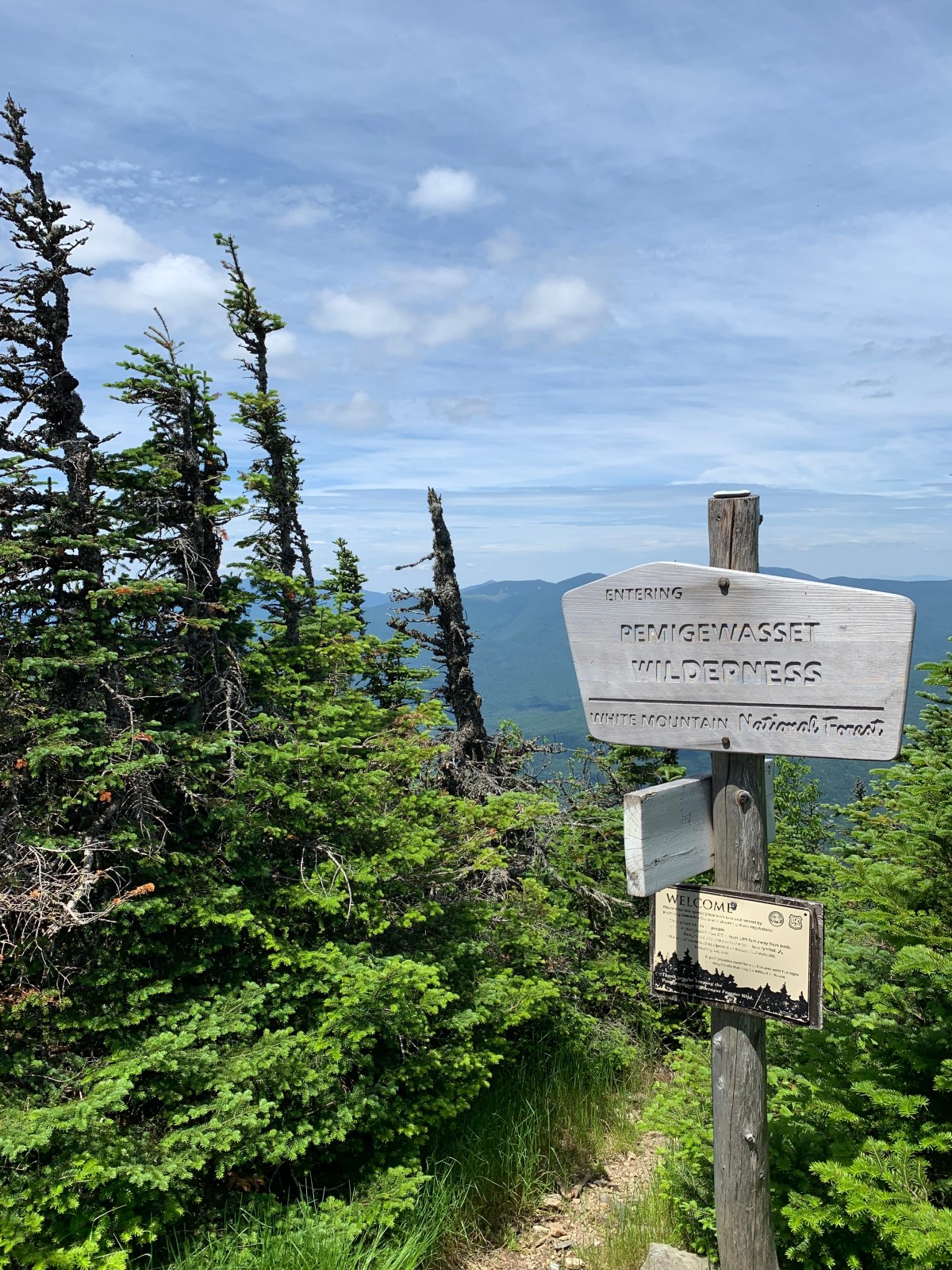
The White Mountain Direttissima is an ambitious route that seeks to connect the 48 New Hampshire 4,000′ peaks in one continuous thru-hike. Although the exact number of hikers who have completed this route is unknown, it is estimated to be few, particularly for women.
I had been toying with the idea of attempting a Direttissima for a while, and decided that this summer would be a good time to stick close to home and replace some of the older peaks I have listed on my Grid with some more recent ones for June and July.
The length of the Direttissima varies depending on how one decides to connect trailheads, ridges, and peaks; bushwhacks might shave off mileage but add difficulty, and other shortcuts – like walking under power lines, for example – could be overgrown and tangled mid-summer.
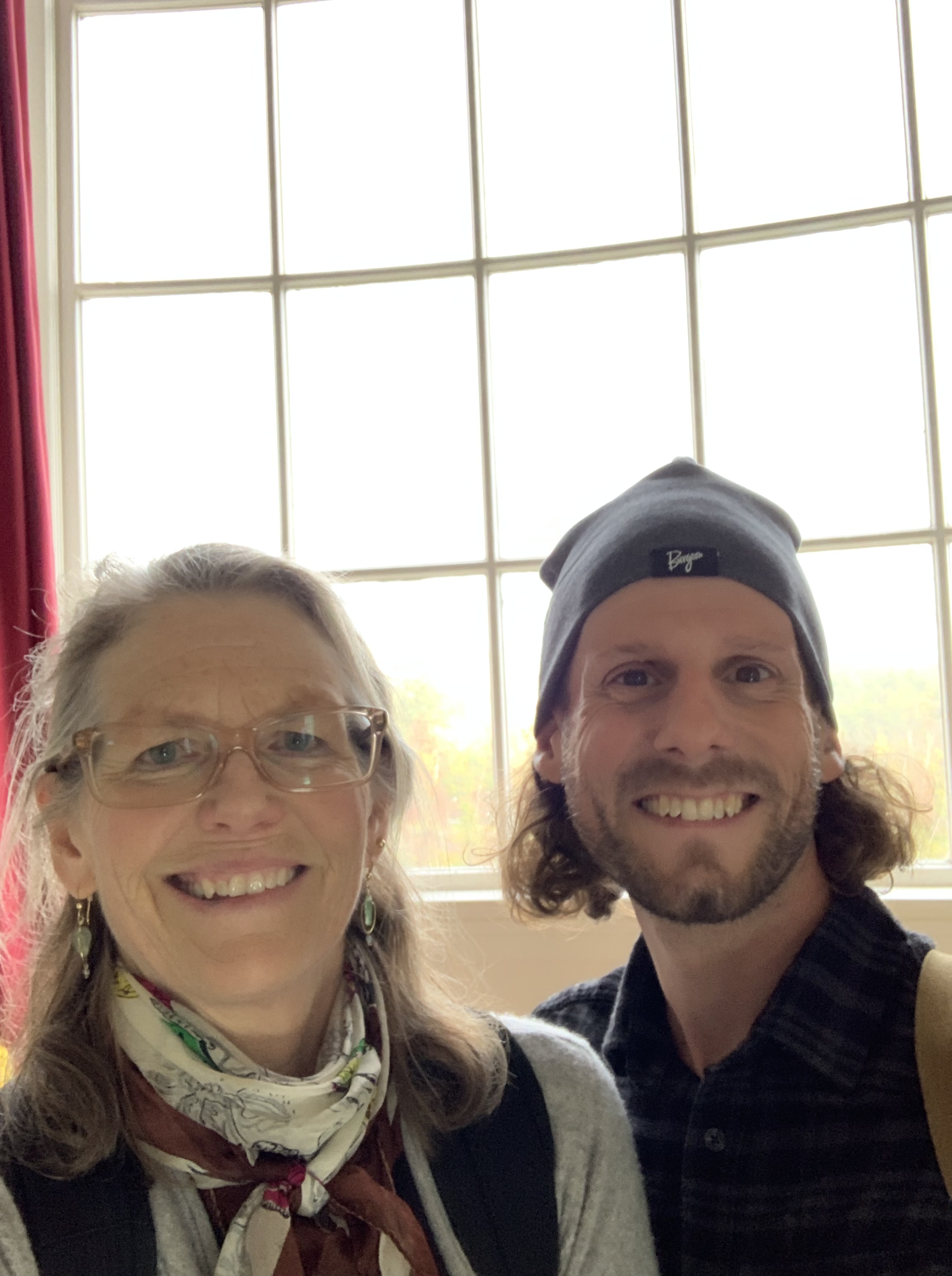
I decide to stick to established trails and roads using a route shared with me by Philip Carcia, who has completed the Direttissima five times. Philip is an all-around kind and generous human who continues to set records and establish precedents in the Whites, inspiring many to test their own limits.
As an added challenge, I decide to do the route north-to-south, finishing at the Mt. Moosilauke trailhead, then walk an additional 30 miles or so, on trail and back roads, to my front door. Over the course of the next two weeks, I would gain 80,000 feet of elevation over 285 miles. Let the fun begin.
The Meaning of Dire
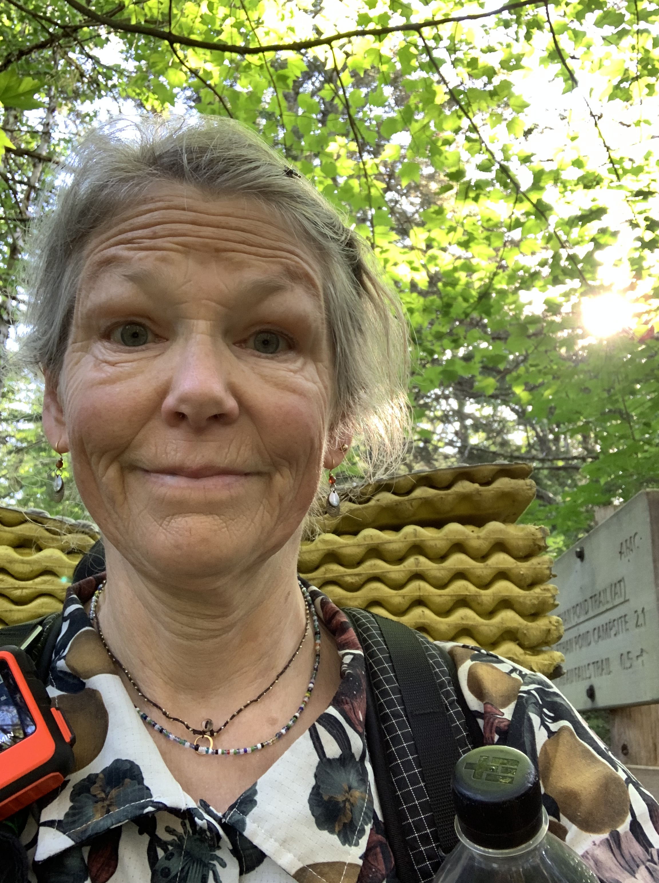
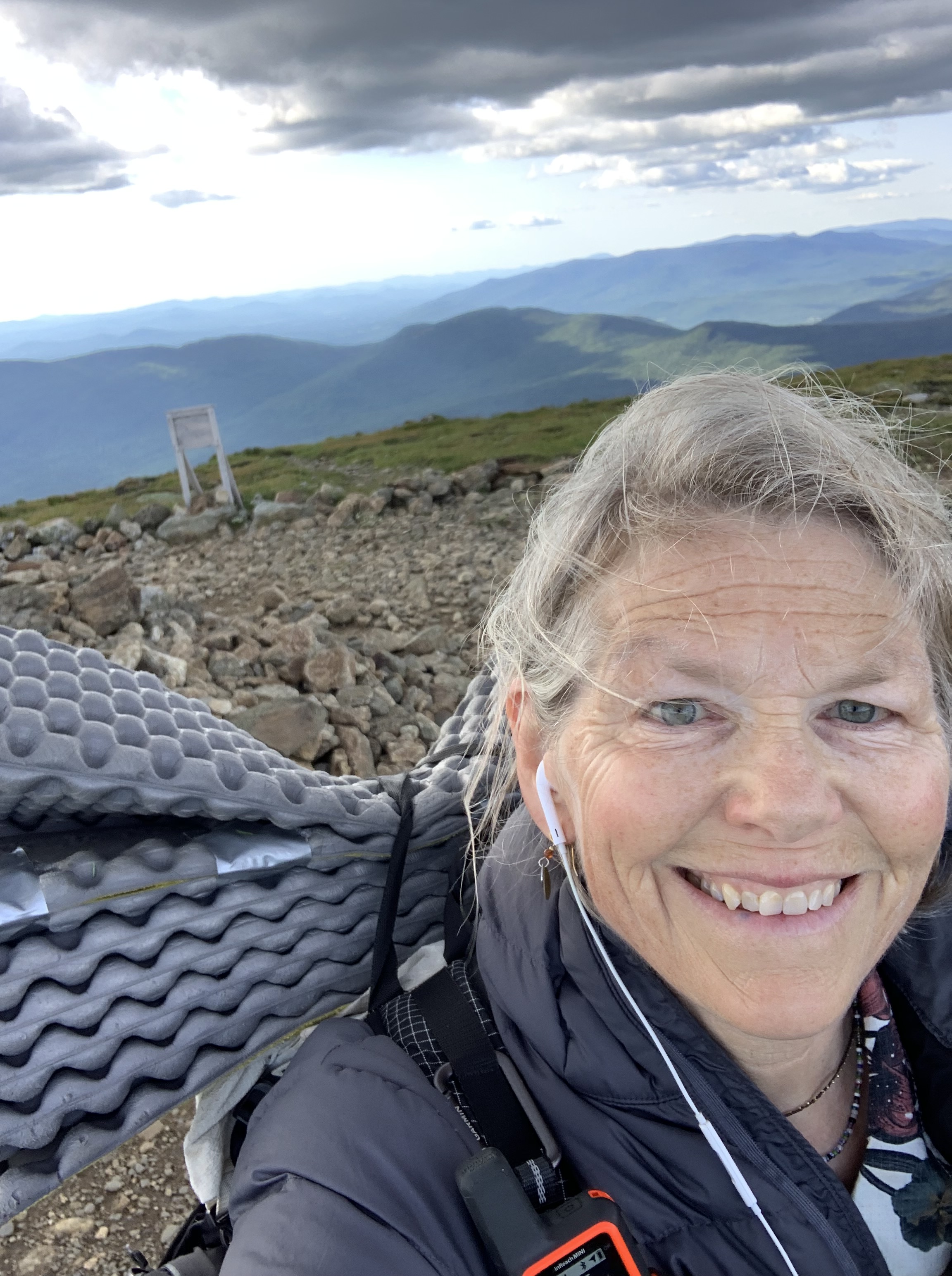
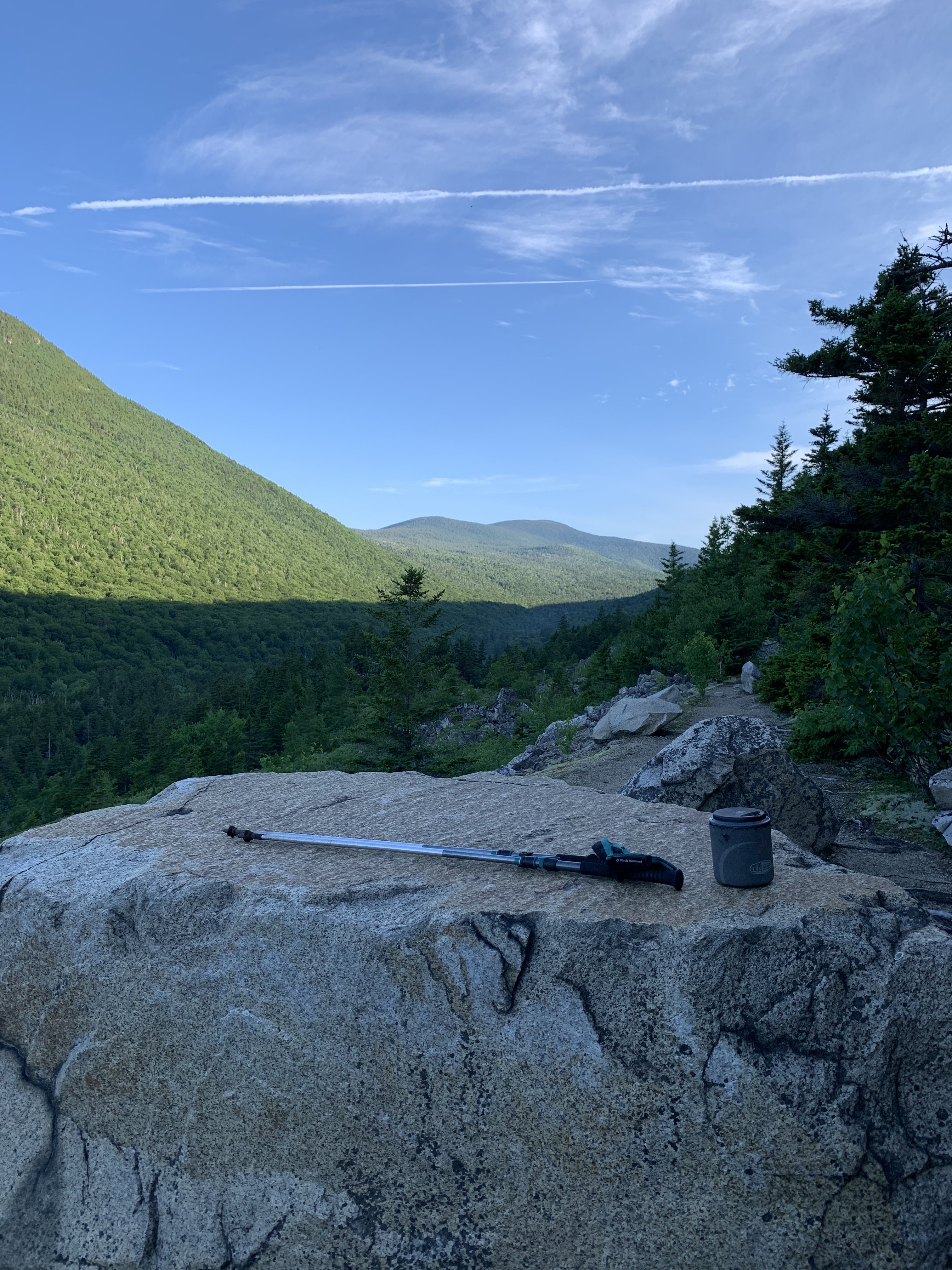
On Thursday, June 27, the youngest and I drive north to Milan, New Hampshire, where he drops me off at the York Pond Trail parking lot. It’s a few minutes before noon, already steamy, but optimism carries me away from the air-conditioned comfort of his truck and up the familiar path toward my first 4,000 footer, Mt. Cabot.
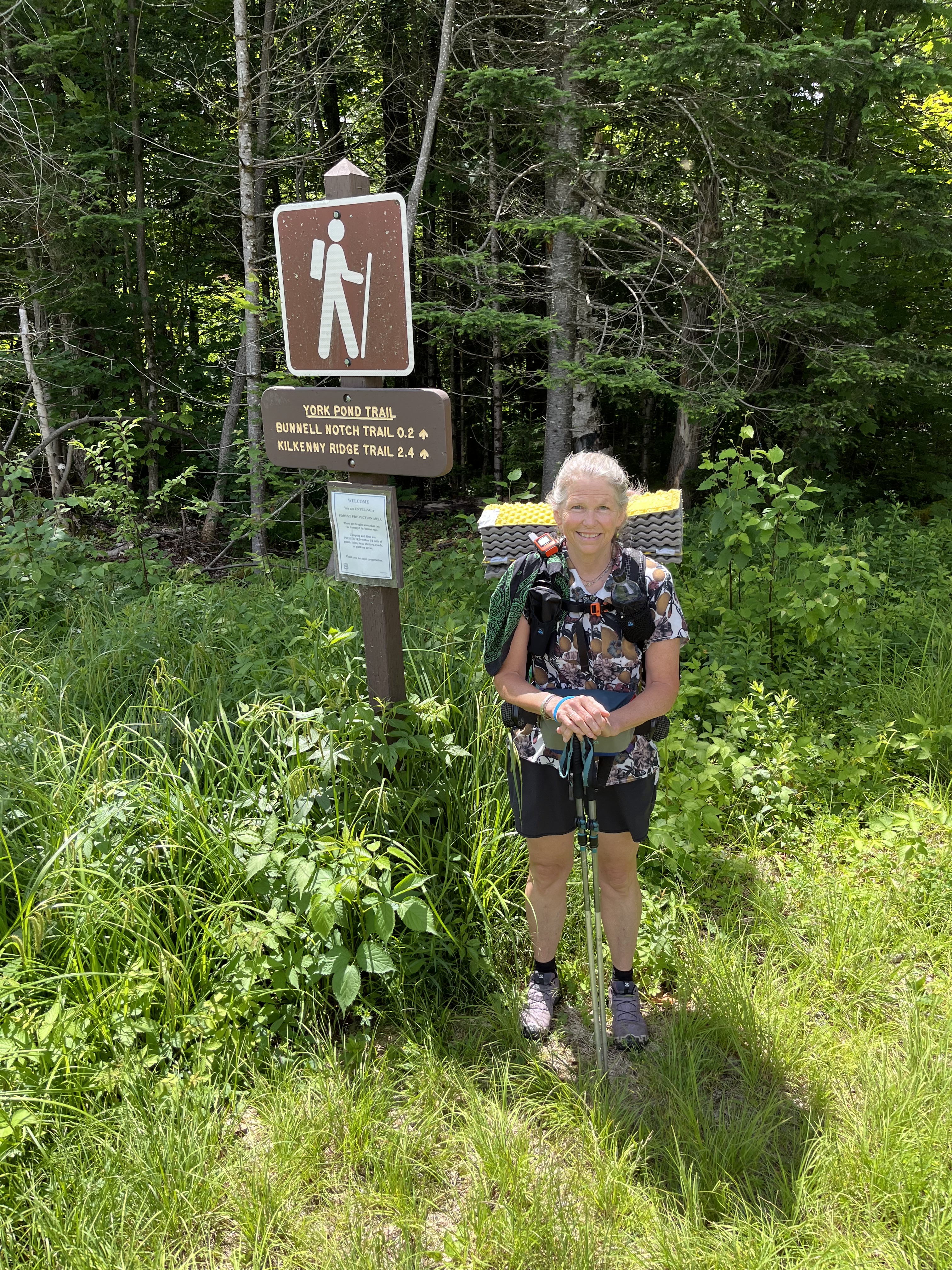
Cabot will be an out-back; that is, at the junction of Bunnell Notch and Kilkenny Ridge Trails, I need to climb 1.7 miles to the summit of Cabot, then retrace my steps back to the junction. This will be the first of many of these out-backs, and I’m grateful for Philip’s advice to drop my full pack and carry only water and a few essentials to the top.
I had a little too much time on my hands in the days leading up to this endeavor and have crafted a small tag to display on my pack when I must leave it behind. The last thing I want is for someone to think a hiker is in distress when encountering my unaccompanied stuff in the woods. Plus laminators are cool.
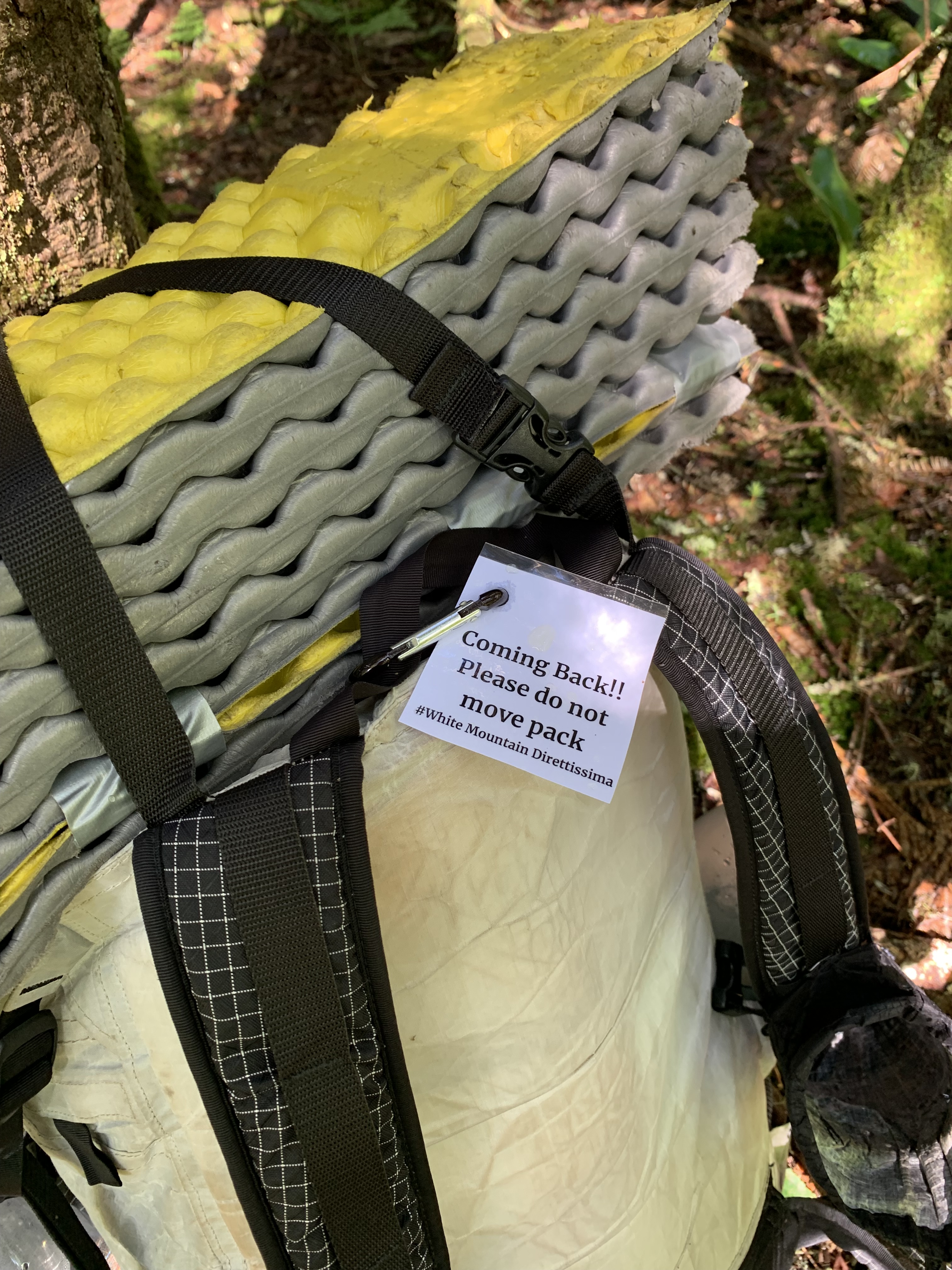
Small tag aside, my pack is ridiculously heavy. Four days of food and two and a half liters of water is a lot, but much of this route is in remote wilderness areas with few options to resupply; additionally, water sources are not always conveniently located. They say you carry your fears.
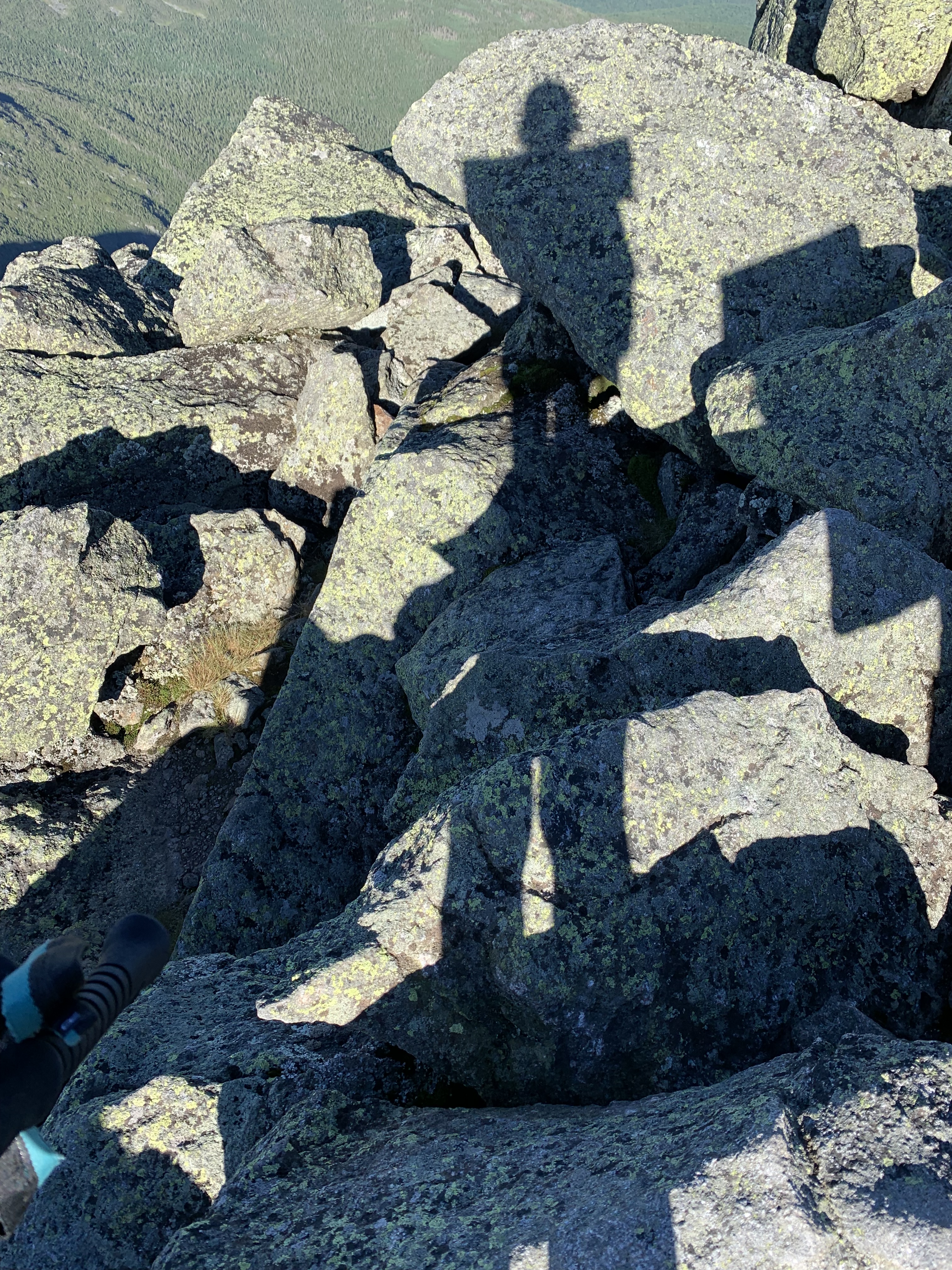
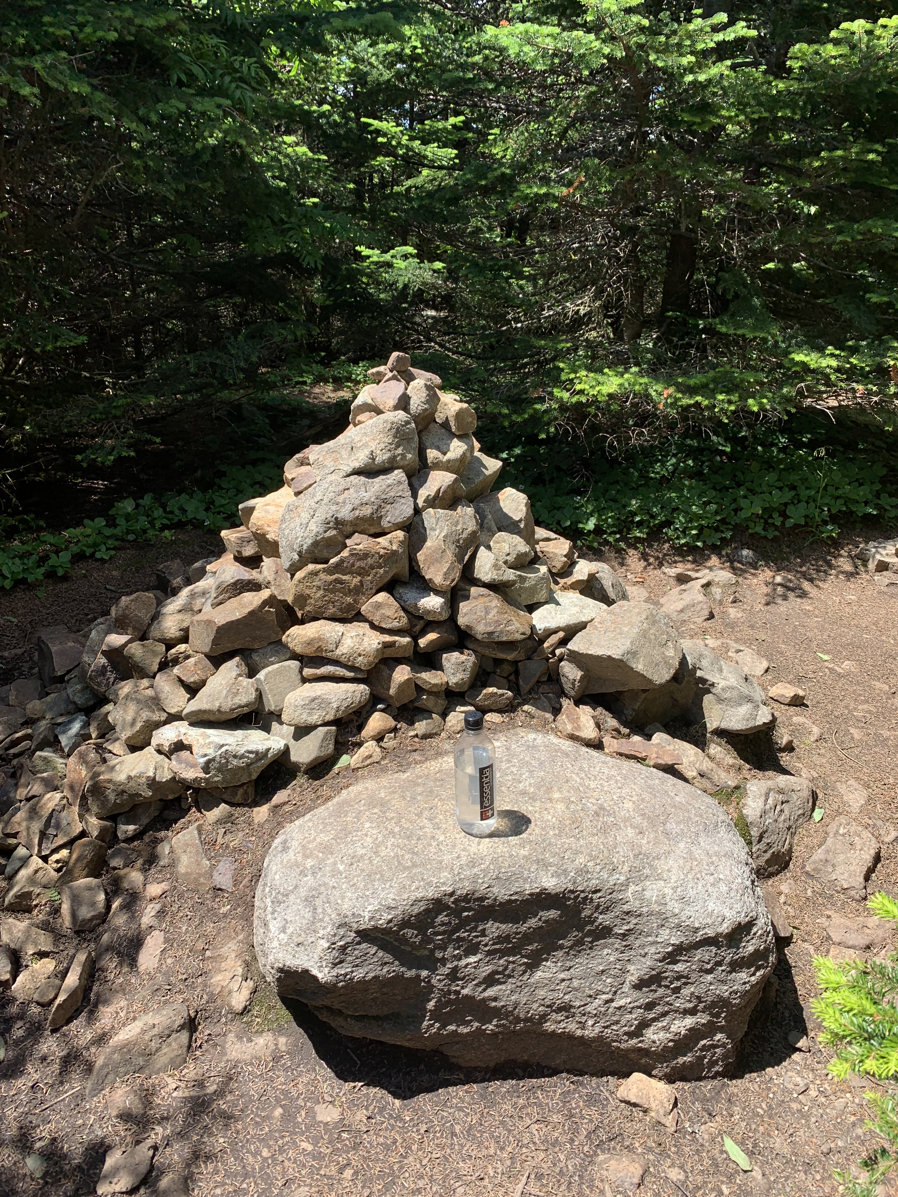
I soon touch toes to the first of many summit cairns, hustle back to the ball and chain, and head out across Kilkenny Ridge.
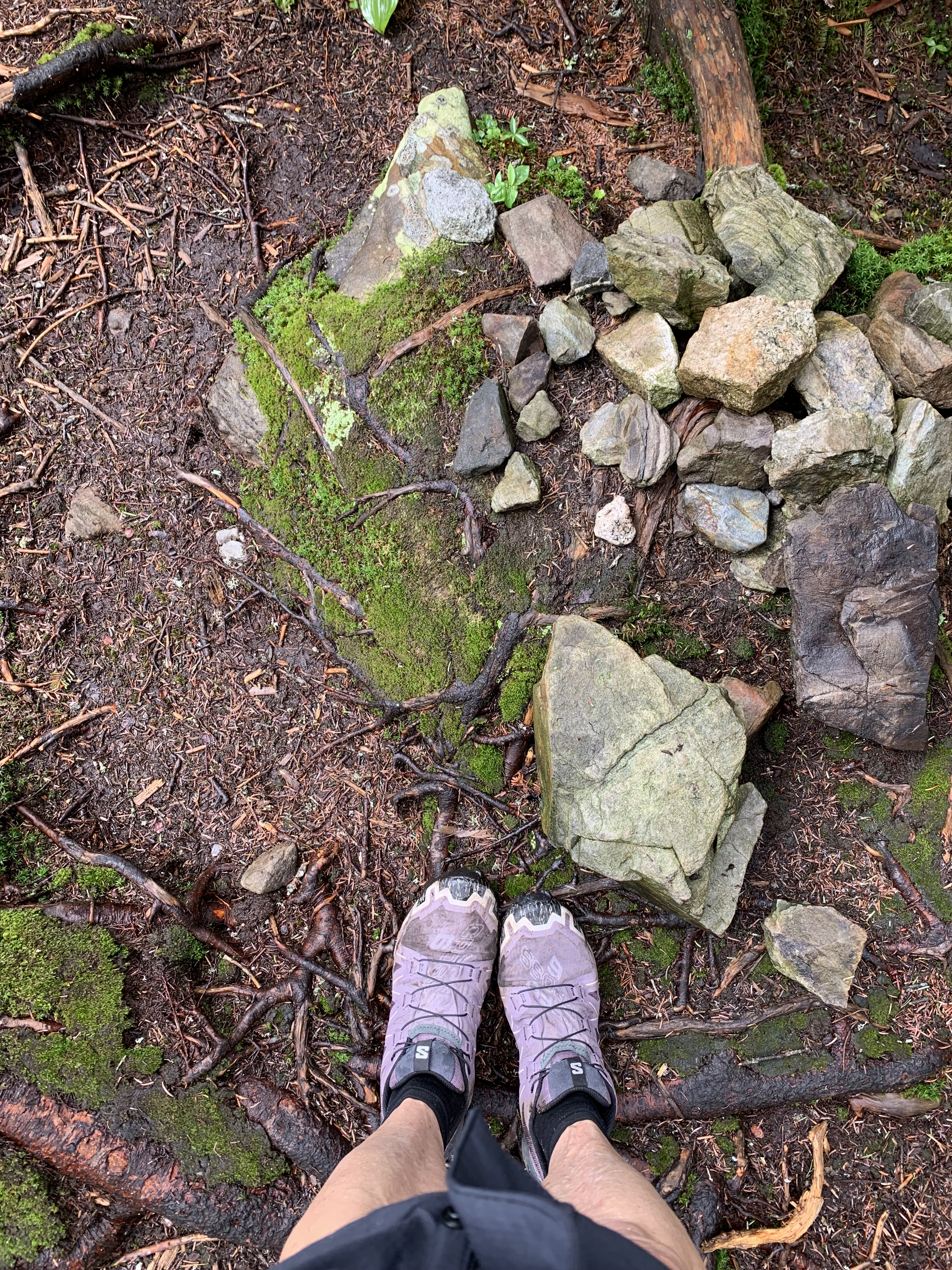
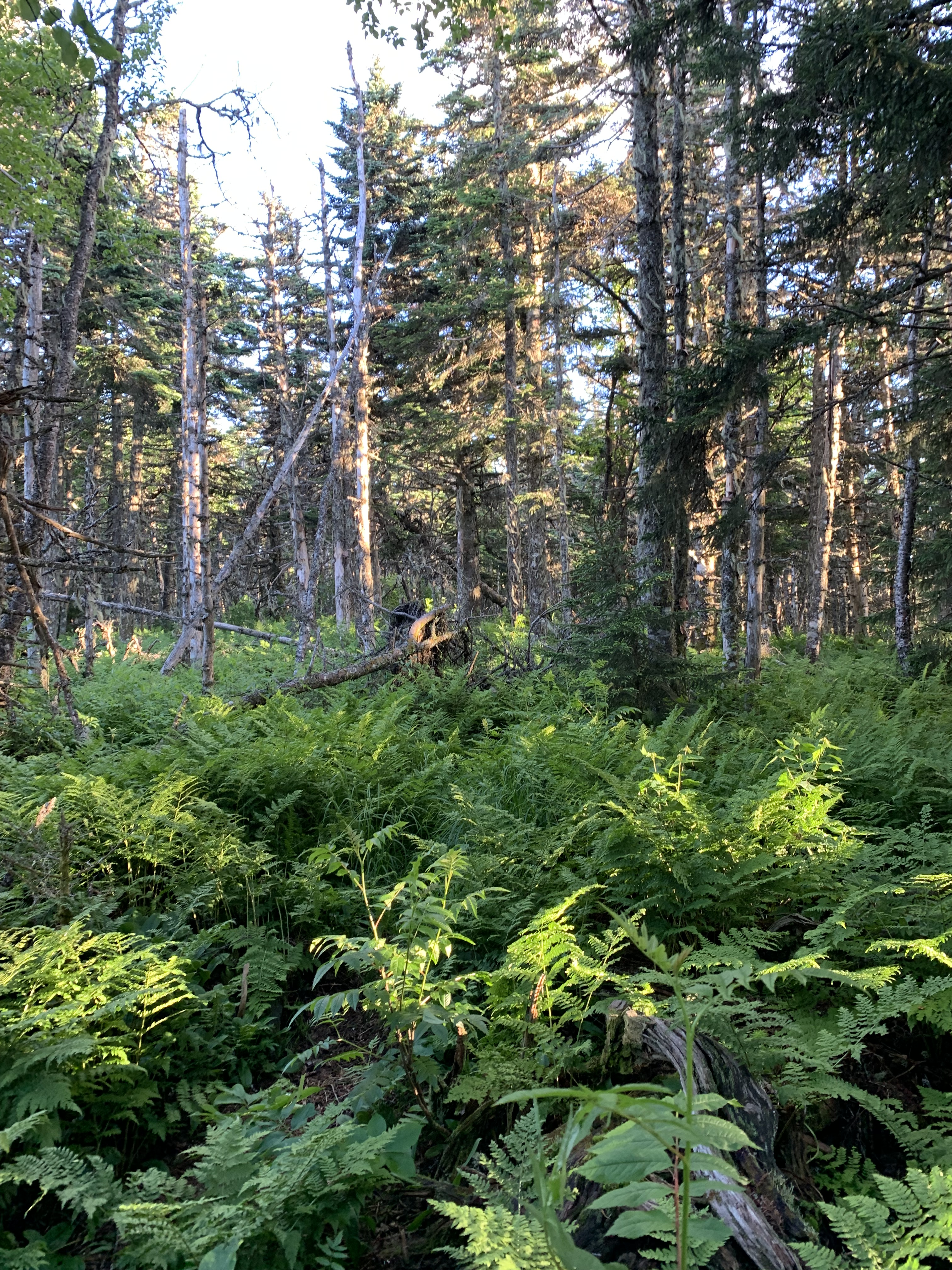
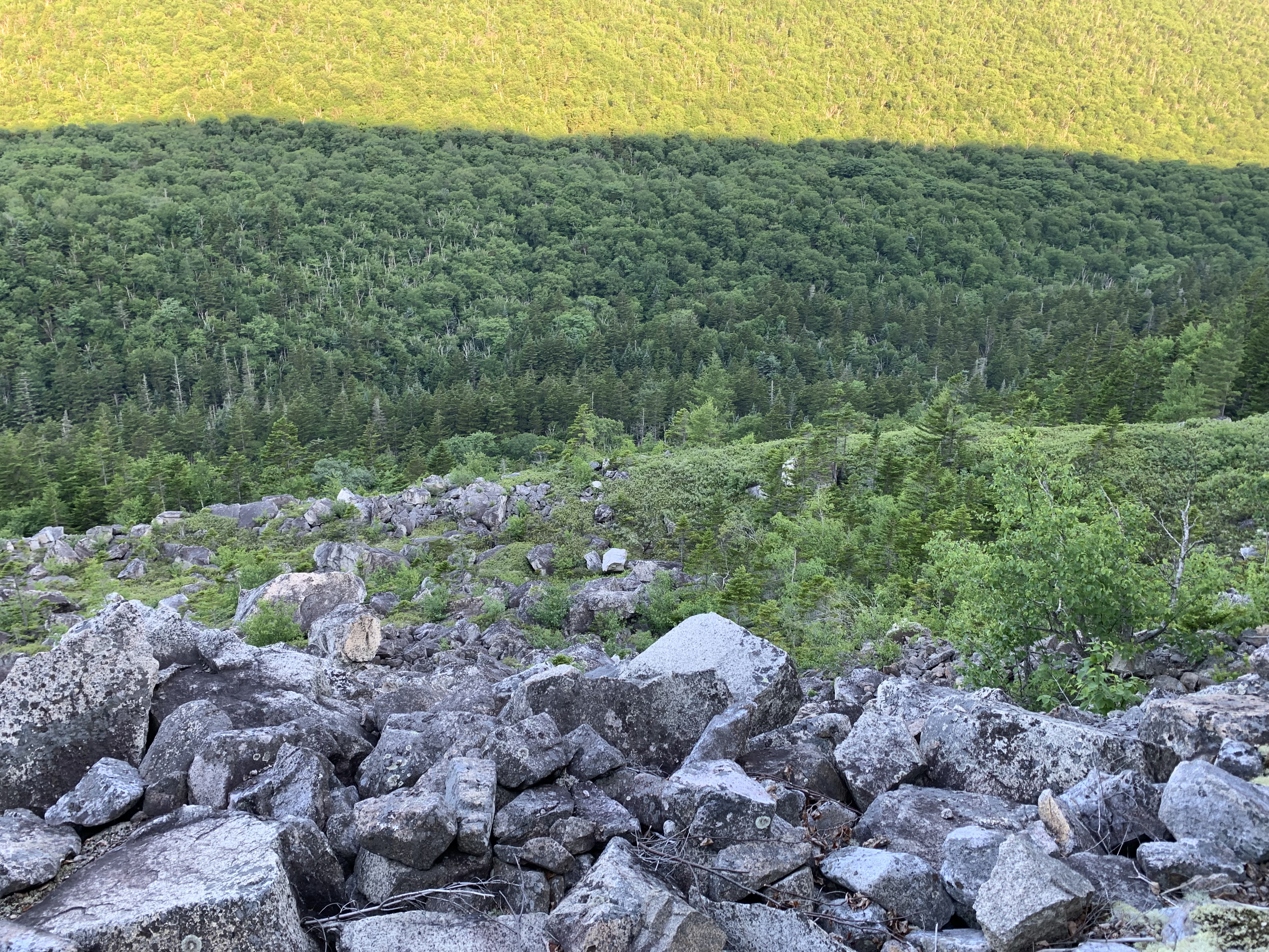
It soon becomes clear that I will not be making the kind of time I am accustomed to making in these mountains. The ridge is rocky, overgrown with Jurassic ferns: brutal but beautiful. It’s only the first day and the itinerary I set for myself must be scrapped. Although the translation of Direttissima is something like “most direct route,” I list the synonyms for dire in my head as I crawl along.
Dreadful. Appalling. Woeful. Grievous.
Soon it’s time for me to play the game of how-long-can-I-get-by-without-a-headlamp, discovering when I finally pull it out that the batteries are dead.
Idiot!
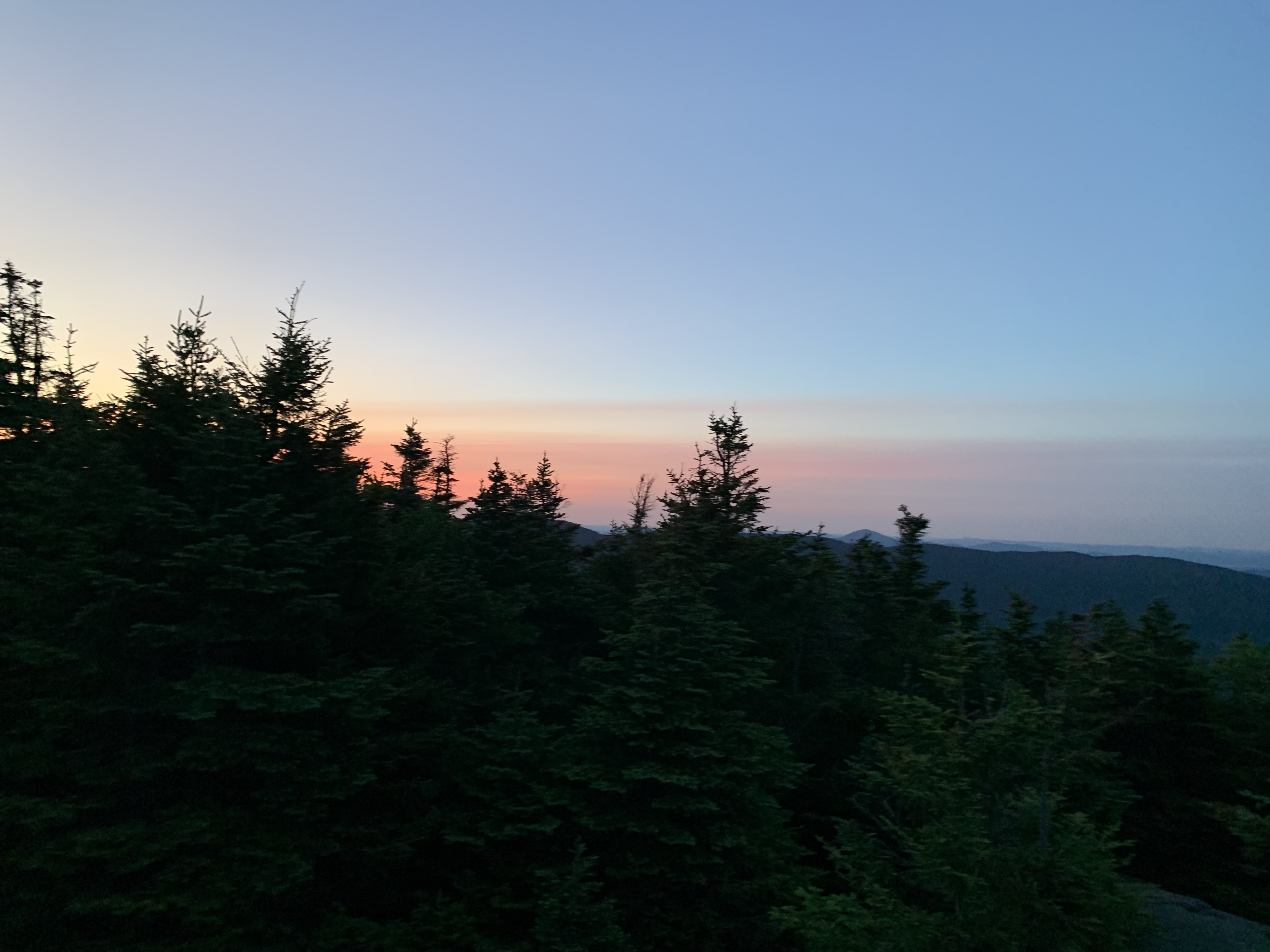
Didn’t check before I left, but luckily I have spares. It’s close to 9 PM when I finally find a spot to set up camp, a bare patch pitched at a crazy angle and exposed to the full brunt of the wind. But I’m too tired, too sore to complain.
Day 1 – York Pond Trailhead to .1 north of Waumbek (noonish start): 15.5 miles
Peak: Cabot
Not Quitting
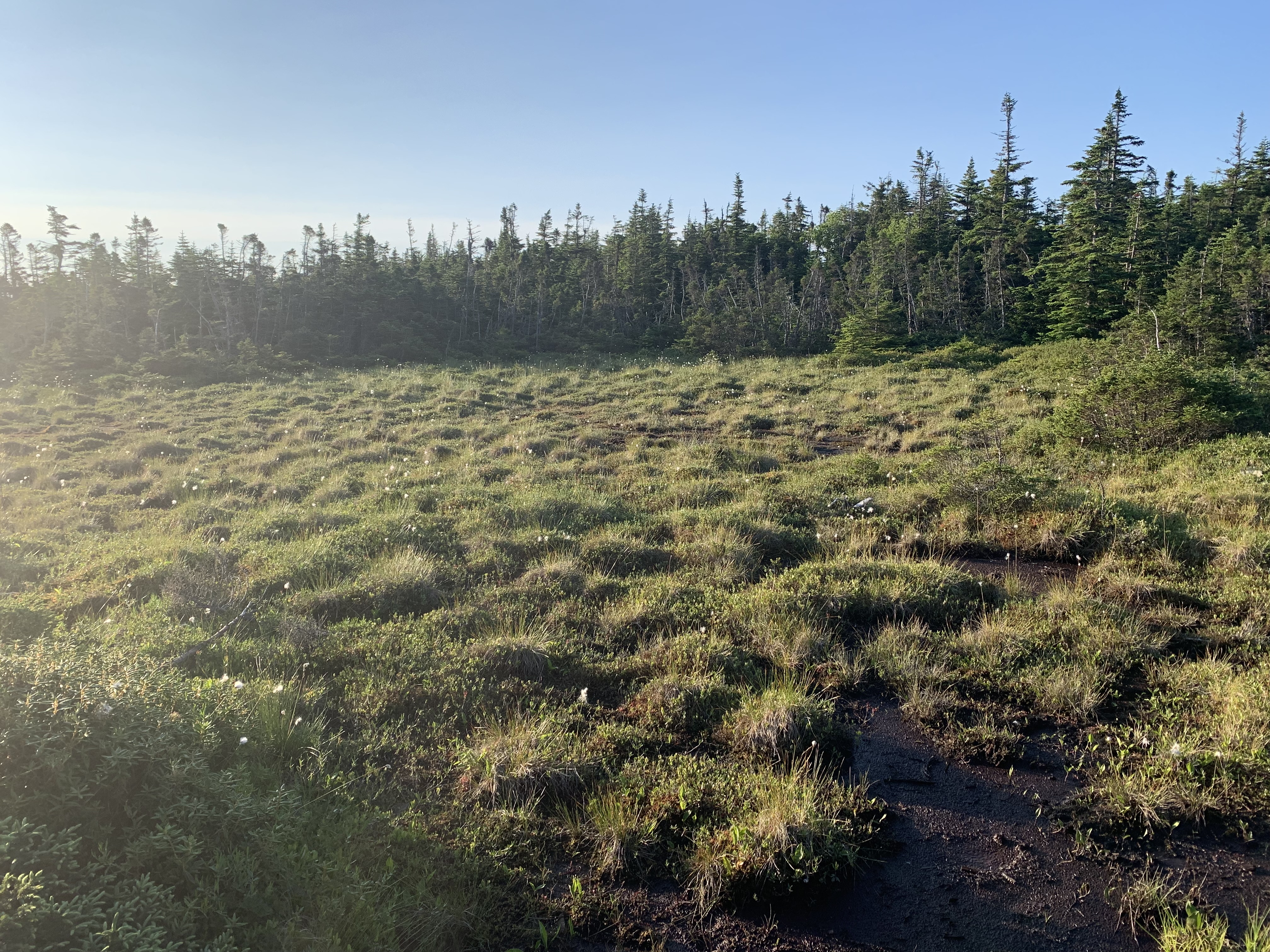
I awake to frost on my tent. Wrapping myself in every stitch of clothing I have with me, I walk the .1 to Mt. Waumbek. My brain must not have been working the night before. I had the FarOut app, which would have told me the summit was just ahead, and I knew there was a larger, flatter, more protected space to camp there. Sigh.

But down below in Jefferson is a country store with a grill and hot coffee. I float along, dreaming of bacon. Unfortunately, the grill is closed for some reason, so I grab a muffin and the coffee, charge my devices, and head out on the longest road walk of the trip.

It is twelve miles to the Caps Ridge trailhead, and I shed layers as the sun rises and the pavement warms. Caps Ridge, leading up to the summit of Mt. Jefferson, is one of my favorite trails in the Whites. Both hands are feet are needed to scramble the 2.5 miles, so when I arrive at the parking lot sweating sunscreen, a nap seems like a good idea. I burrito myself in my tent to keep away the bugs.
Caps with a full pack is tricky, but up and over I go without incident and head across to Adams with the goal of eating dinner at Madison Spring Hut. After choking down a full package of instant mashed potatoes (why didn’t I split it up into more manageable portions?!), the last peak of the day is Madison, where the torture begins in earnest.
Many of the trails linking ridgelines on the Direttissima are lightly used, unpopular for a reason. The Daniel Webster Scout Trail is rocky, steep and overgrown; I cut my knee and hand, whimper, stagger, and pray in the waning light. My topo map suggests a flat that never materializes, so at 10 PM – and I’m not proud to admit this – I tent right on that rarely used trail on the only level spot I have seen in miles. Doubt creeps in: can I keep this up for another 200+ miles?
Of course, everything appears better in the morning, with coffee and perspective.
At the bottom of the trail, the next road walk takes me across to the Carter-Moriah ridgeline, another of my favorites. What I haven’t remembered is the cliff that must be scaled to ascend North Carter, every turn in the trail revealing another pitch. It starts to rain, then pour, then lightning and thunder.
My hands are so cold that I worry if I keep going to my goal for the day – somewhere close to Wildcat – I won’t have the dexterity to pitch my tent. Like a miracle, a tent site appears just north of South Carter, and I bail out at 5:00 like a beaten dog.
My weather app predicts “tornadic activity” and triple digit winds across the way on Washington; even in my protected col, the fabric above my head whips and snaps all night. I’m soaked, miserable, deep in despair.
Do I call the youngest? Hike out, have him come pick me up tomorrow? Is quitting even an option?
Morning optimism again wins the day. Everything wet gets stuffed willy-nilly into my pack, and I set a goal to reach the AMC Pinkham Notch Lodge, where drying out and perhaps even a room are an option.
When I arrive, after cruising down the Wildcat D ski slope, I decide to be kind to myself. The room is overpriced, the included dinner barely edible, but dry gear and a night in a bed have set me up to tackle remote Isolation and behemoth Washington the next day.
In 24 hours, I have gone from thinking I’ll die of exposure to sleeping safe in crisp sheets. Such is the unpredictability of this route.
Day 2 – .1 north of Waumbek to 2.7 north of Dolly Copp Campground: 23.5 miles
Peaks: Waumbek, Jefferson, Adams, Madison
Day 3 – 2.7 north of Dolly Copp to .3 north of South Carter: 15.3 miles
Peaks: Moriah, Middle Carter
Day 4 – .3 north of S. Carter to Joe Dodge Lodge: 10.5 miles
Peaks: South Carter, Carter Dome, Wildcat, Wildcat D
It Doesn’t Get Easier
I have seriously underestimated the difficulty of this pursuit.

However, having decided to sally on, I simply need to find ways to overcome the hard. Sunrise. Most of the next two days will be on familiar, well-trodden trails. The presidentials boast epic views. There’s a snack bar on top of Mt. Washington.
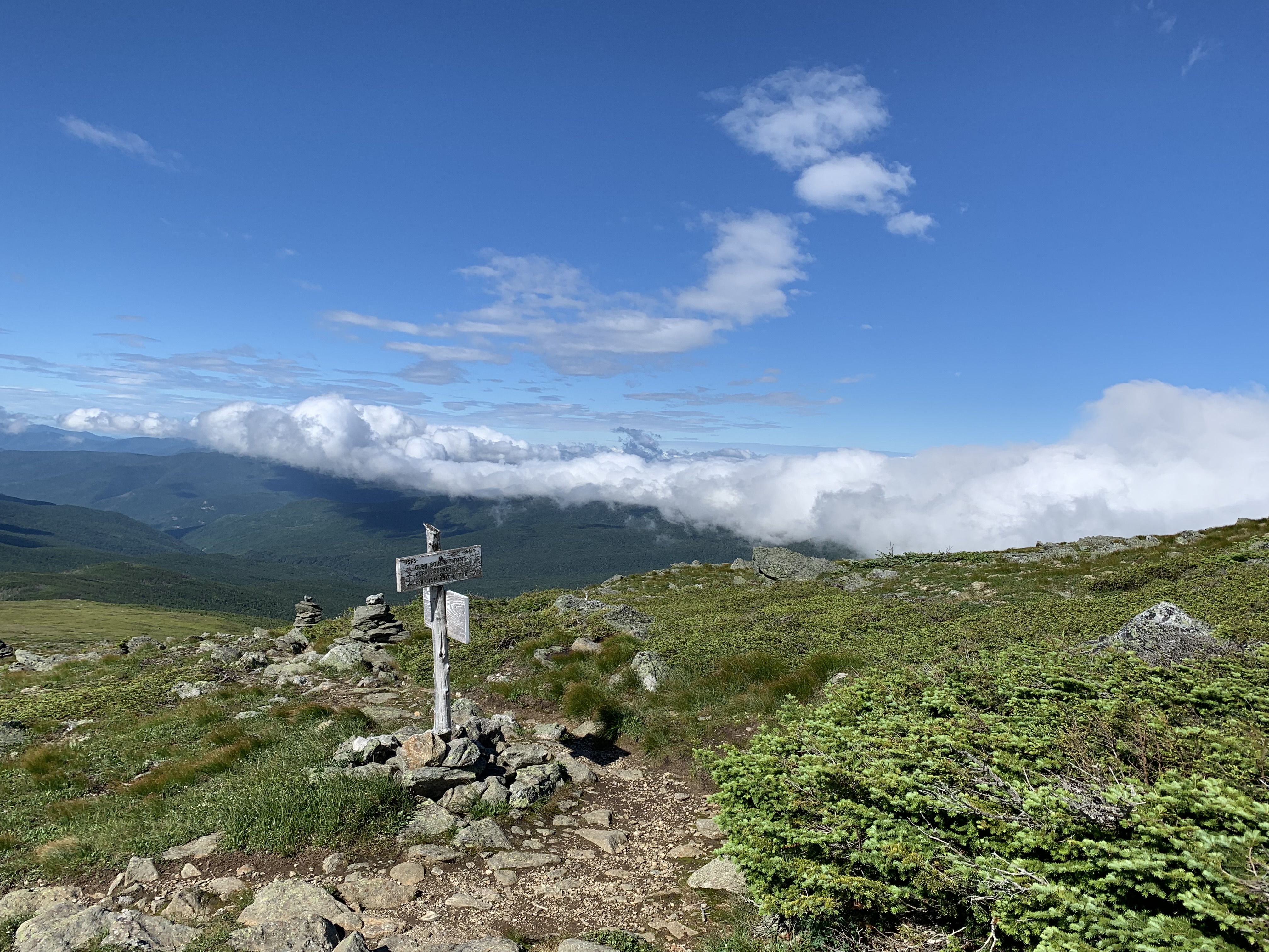
Aptly-named Isolation via the beautiful Glen Boulder Trail (yes, there are rocks so noteworthy in these mountains that they have been given names) is the first peak of the day, another glorious out-back.

On the “back,” I turn a corner to a moose galumphing up the trail. He plops down yards ahead of me for what appears to be his afternoon siesta.
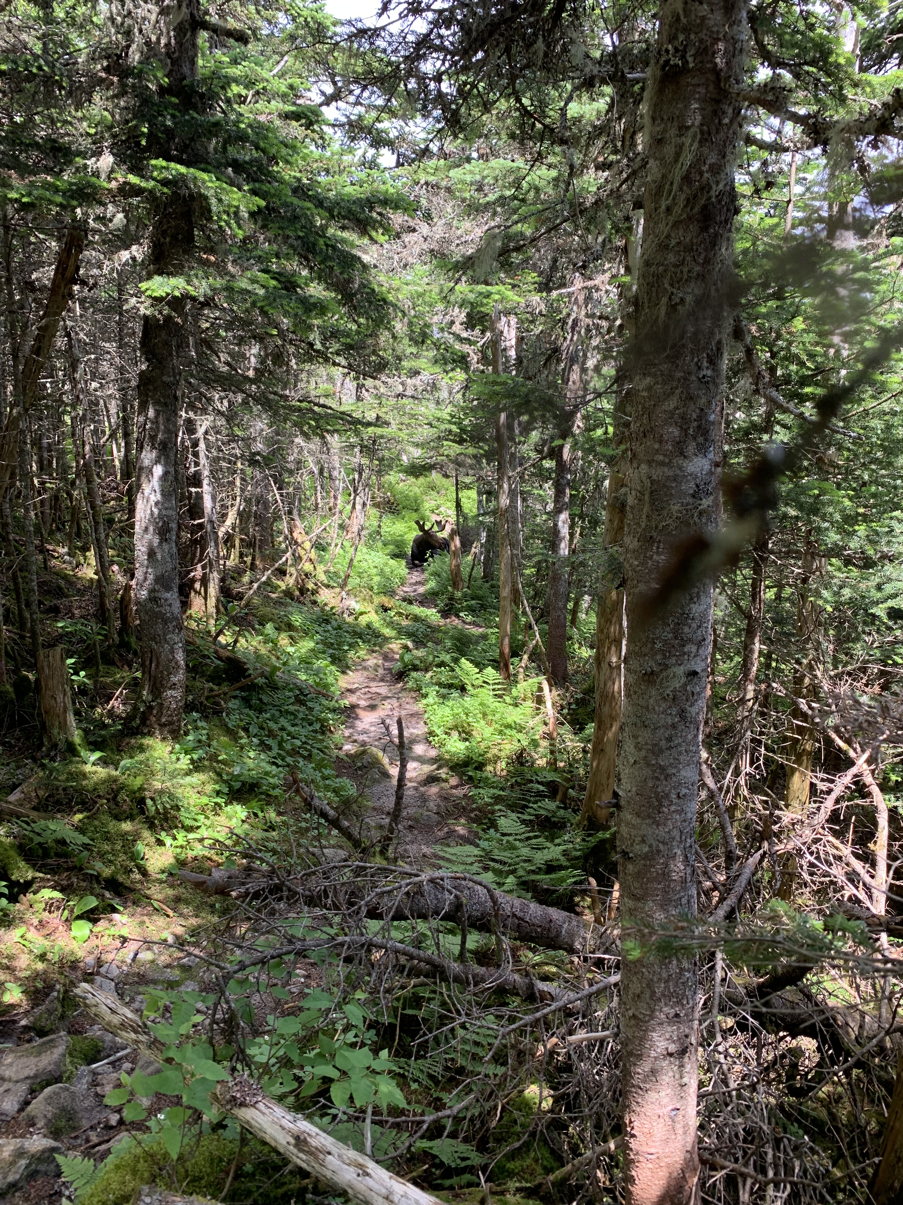
Yikes.
In all my years of hiking, I’ve never seen a moose on trail; I take it as a good omen as I bushwhack around him and head up to Washington.
It takes me an hour to ascend the final .6 up Tuckerman Ravine Trail, others suffering all around. The novelty of chili and chips, writing and mailing a postcard, and the crowds fortify me for the miles ahead, across Monroe, Eisenhower, and Pierce.
A flat rocky space appears north of Mizpah Hut, just the right size for my cozy tent, and I’m rewarded with some big sky as night falls.
Day 5 – Joe Dodge Lodge to .3 north of Mizpah Spring Hut: 18.6 miles
Peaks: Isolation, Washington, Monroe, Eisenhower, Pierce
Eat the Heavy Things First
My first resupply is a box I mailed to myself care of the AMC Highland Center. After hitting Jackson early, I head down across the road.
When the package is handed to me, I can’t believe its weight. Tearing it open, I discover I had vastly overestimated the types of food I would want to be carrying at this point. There’s packets of coconut daal, peanut Thai sauce, and even a full jar of almond butter. I spend the bulk of the day – over Tom, Willey and Field – eating all the heavy things.
Another rustic connector leads me over to Zealand Falls Hut, where I drop my pack at 5:15 and set out to check off Hale. It’s beginning to cool, and it feels like flying not to be saddled with that full food bag. When I return, I ask the Croo at the hut if they have any leftovers and am rewarded with turkey, rice, and fresh tomato soup. AT hikers glide by my tent later that night, and I’m bolstered by their enthusiasm.
Carrigain is on my radar for the next day.
The ridiculously flat Ethan Pond Trail gives way to more wilderness as I head over to the back side of Carrigain.
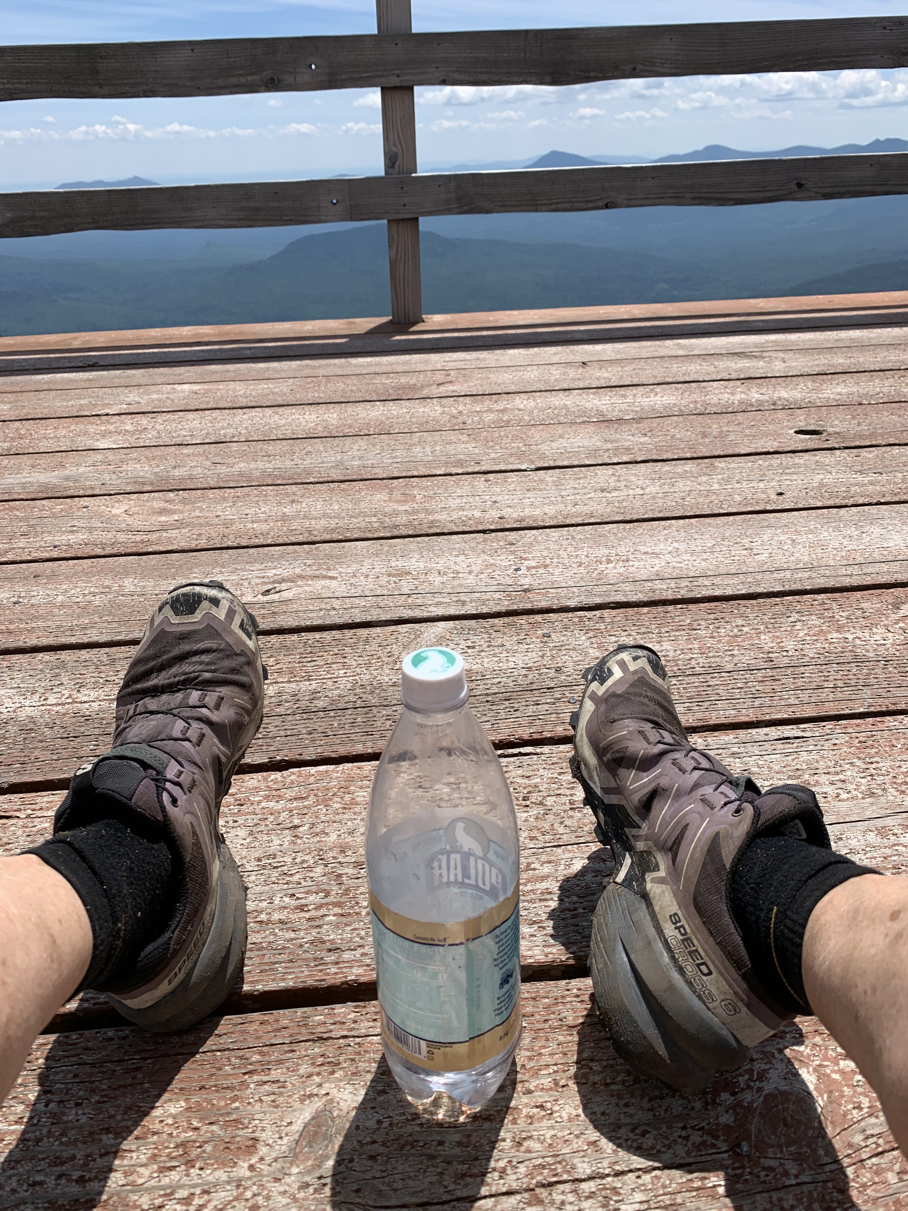
I’ve climbed this way once before, and the memories come flooding back of steep after steep after steep. When the fire tower finally appears, I’m toast.
Faced with the choice of bugs in the shade or wind in the sun, I choose wind, eat almond butter by the spoonful, rest up before the final push down, down, down to the Kancamagus on dirt roads and isolated paths.
The last challenge of the day is a thigh-deep ford of the Swift River. The cold water soothes my sore muscles and feet, cleans my muddy arms and legs. I go to bed feeling renewed, despite only having ticked off one peak the entire day.
It’s taken me much longer than I had hoped to get to my soft place in the pines, but the next day is the Fourth of July, and if I walk fast enough, I could be in Waterville Valley by dinner.
Day 6 – .3 north of Mizpah Spring Hut to .4 north of Zealand Falls Hut: 21.6 miles
Peaks: Jackson, Tom, Field, Willey, Hale
Day 7 – .4 north of Zealand Falls Hut to .2 south of Oliverian Brook trailhead: 22.9 miles
Peak: Carrigain

What a great journey and thank you so much for sharing.
LikeLike