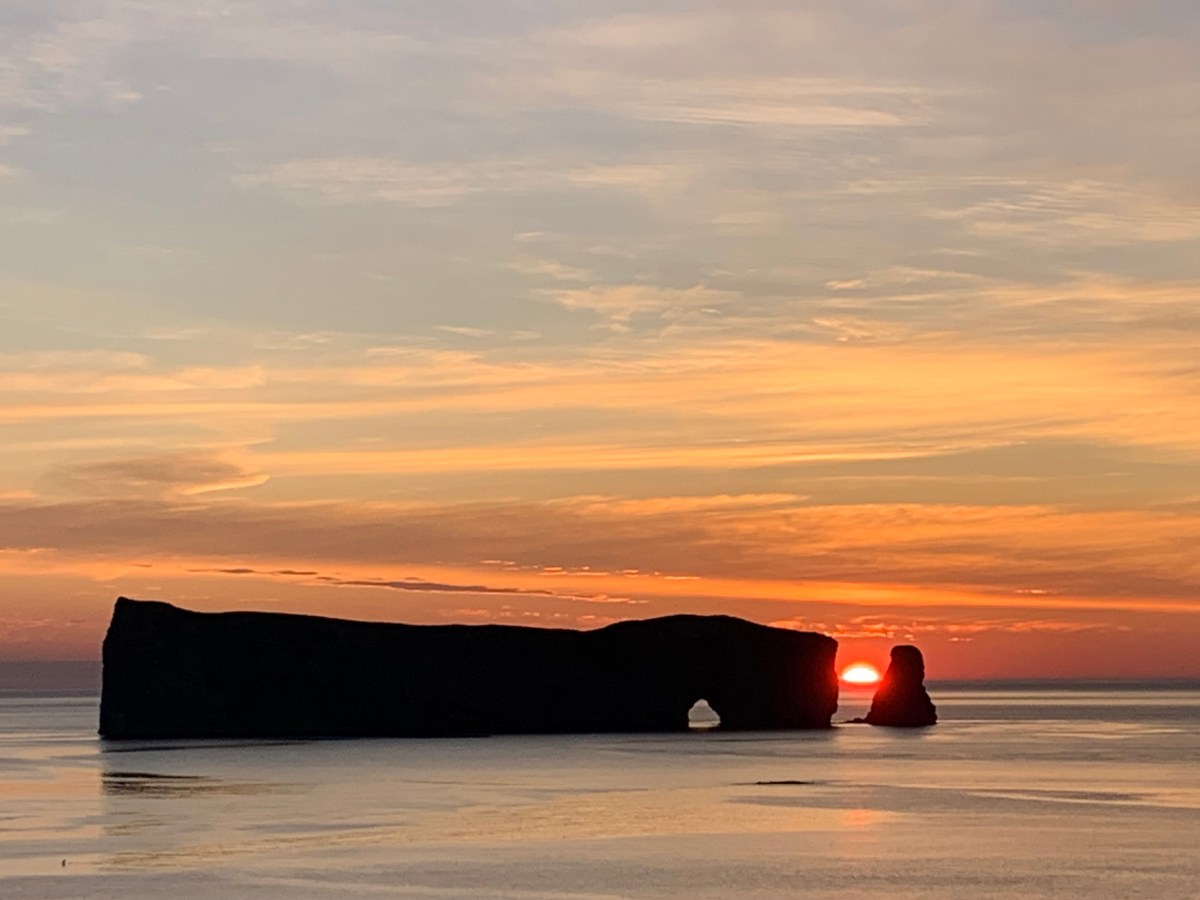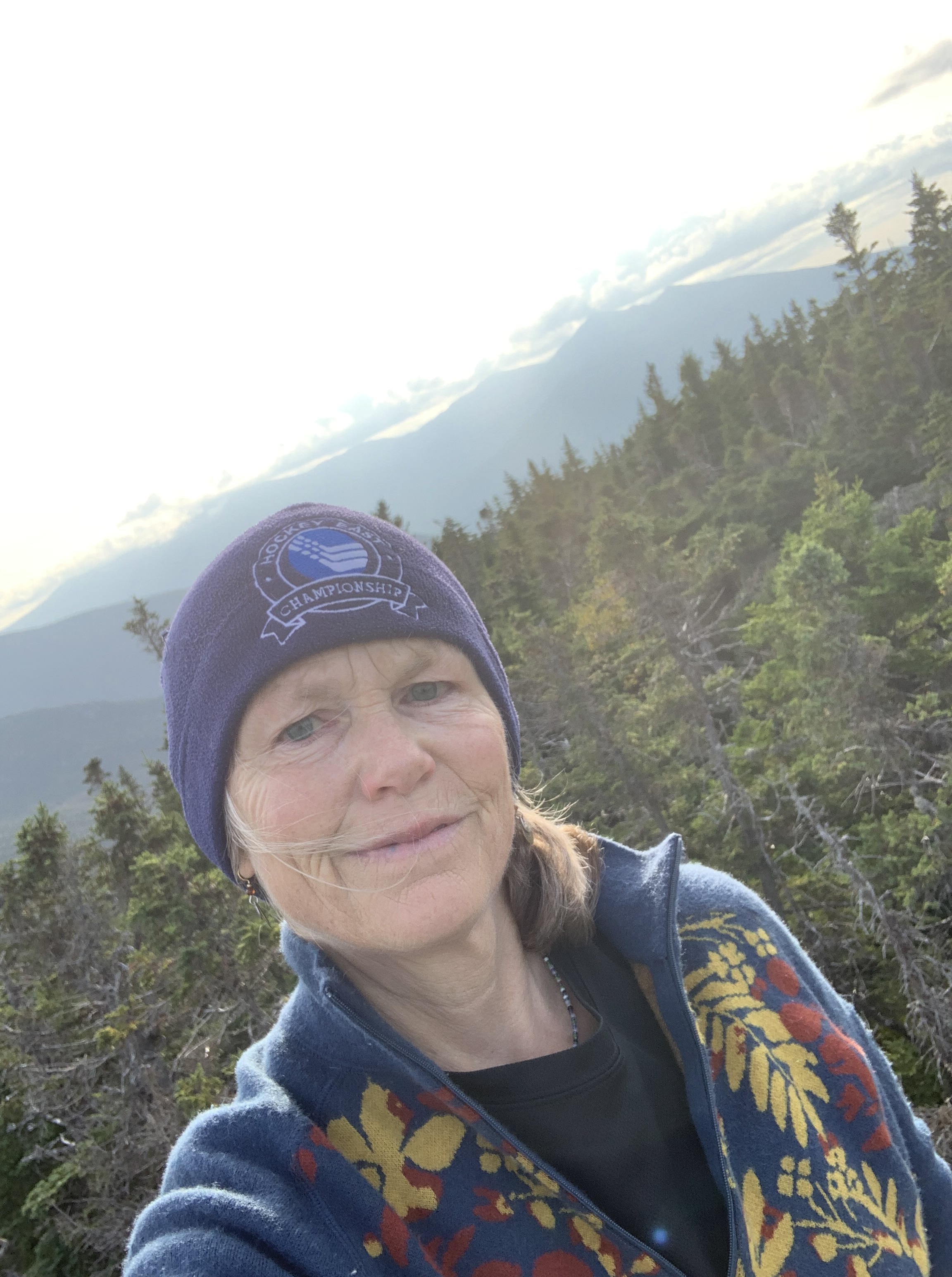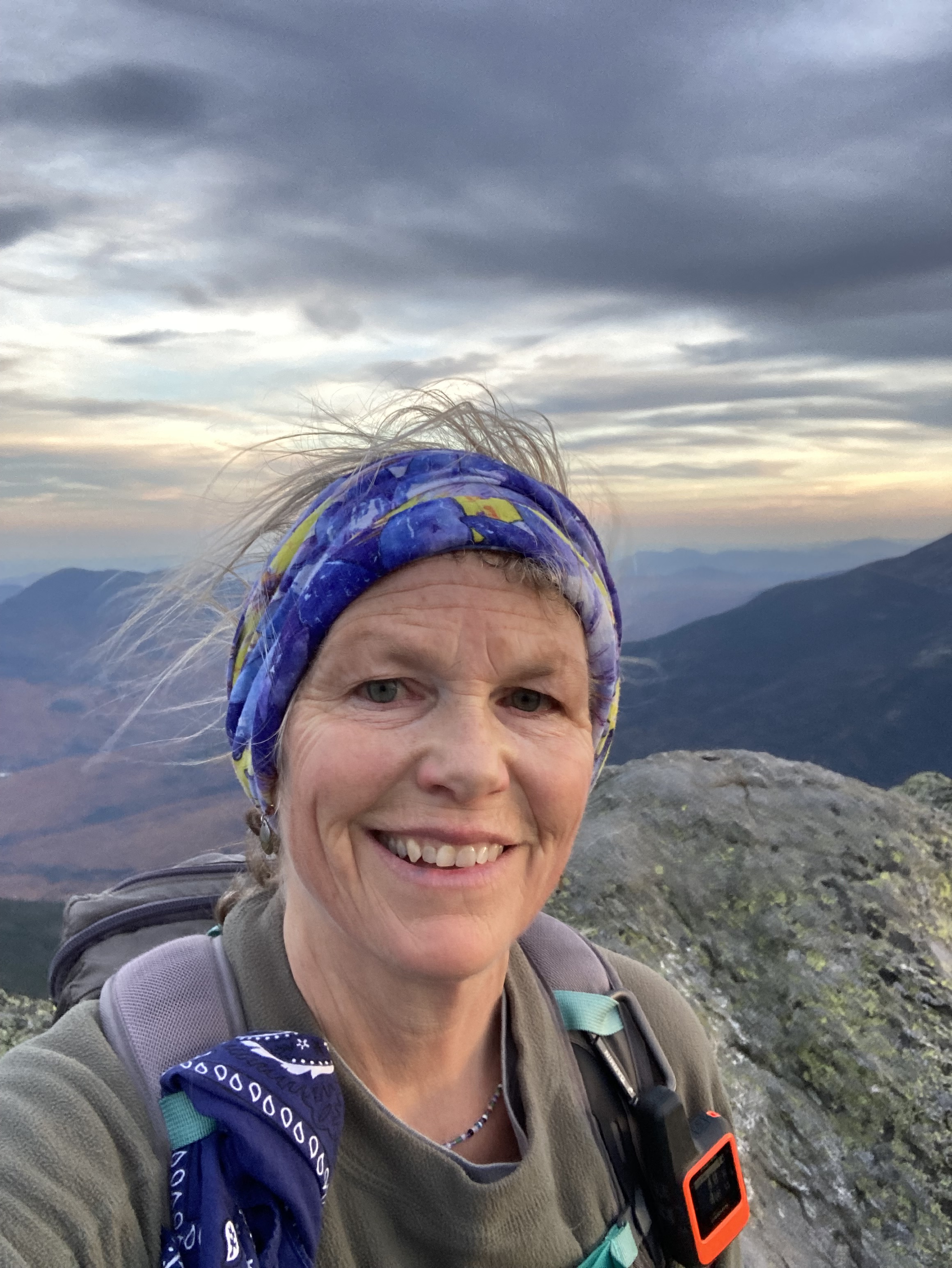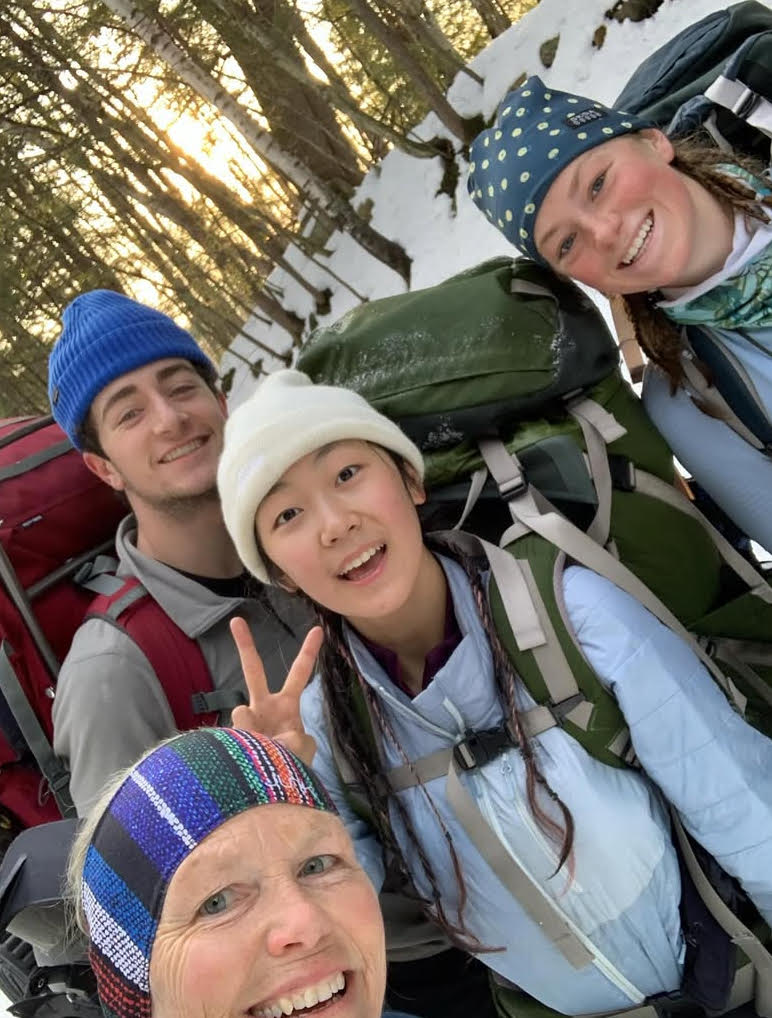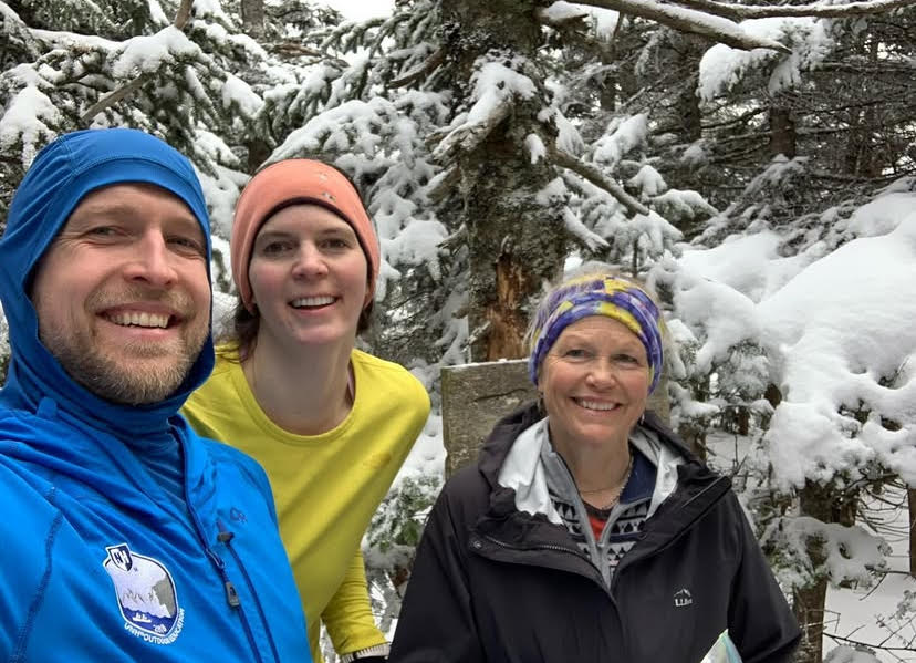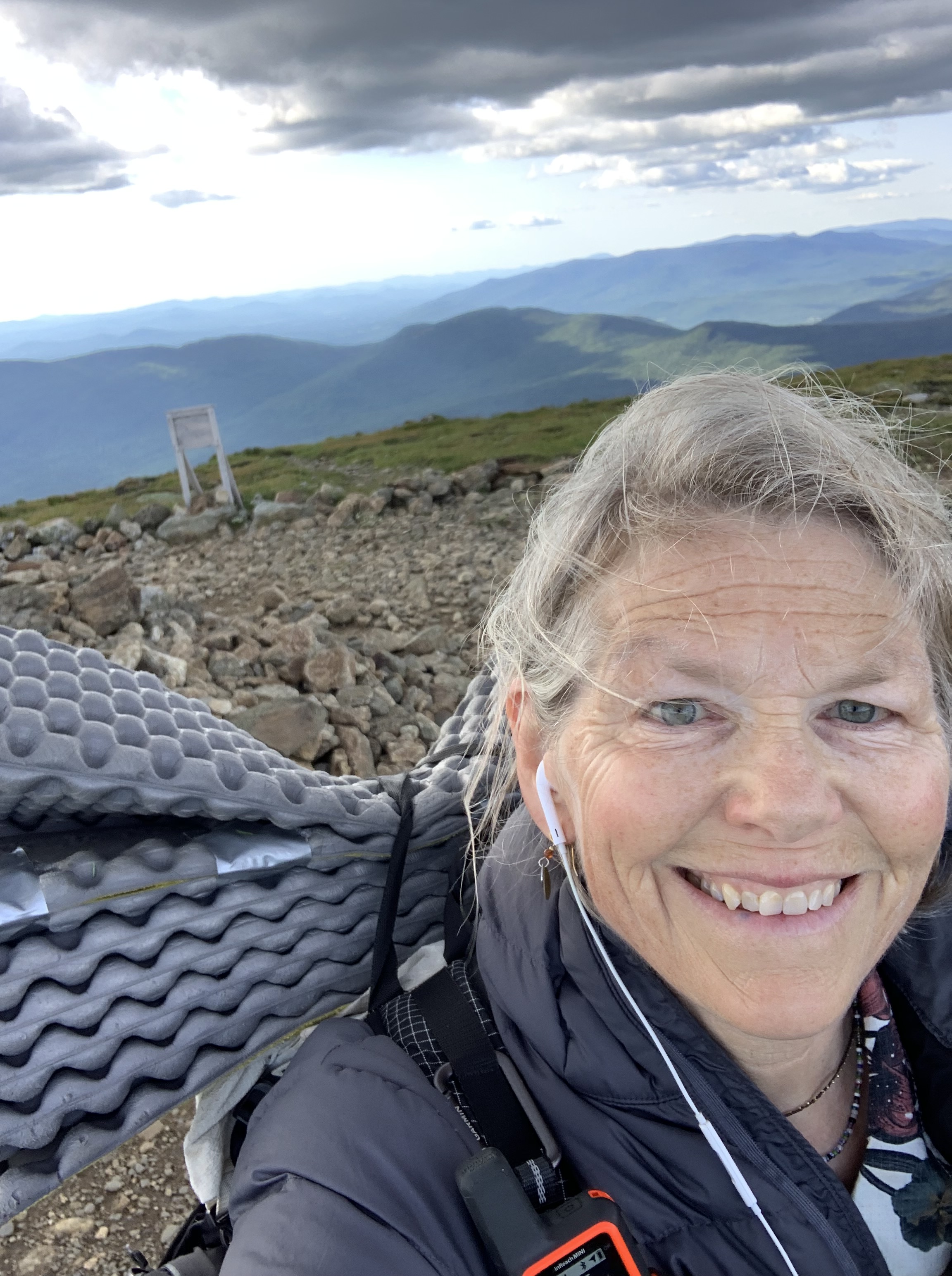
March has finally simmered down enough for me to find some time to look back on this year’s section of the Florida Trail.
It’s been my joy every spring to leave duty and winter behind and simply walk in a landscape that is both foreign and familiar, terrible and beautiful .
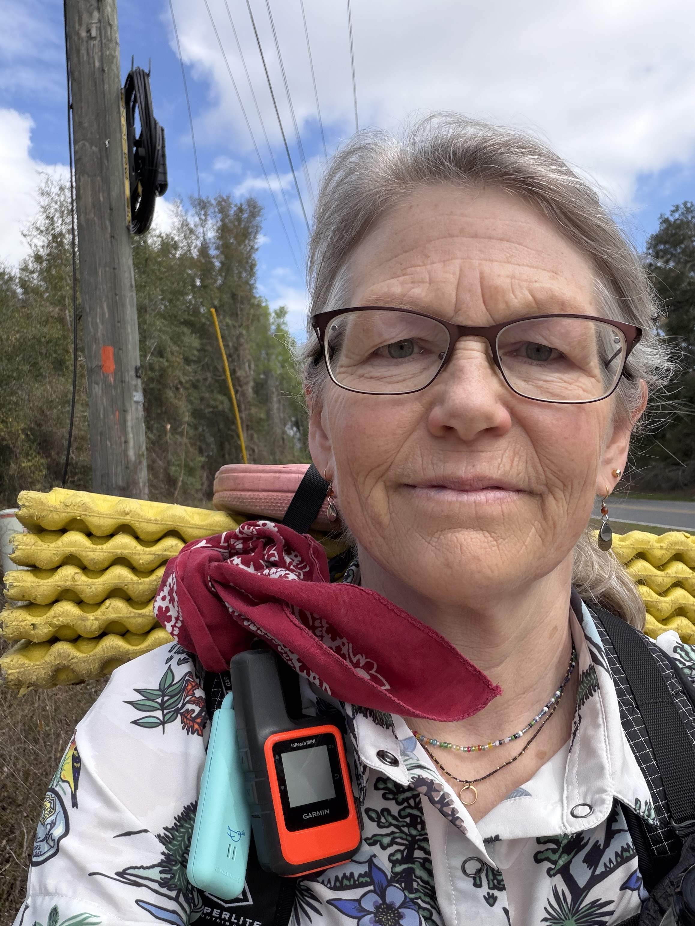
I decided this year that I was going to lighten my pack as much as possible due to some longer (heavier) water carries. This meant forgoing a hot morning beverage (no stove, fuel, or cup), taking a chance on precipitation (no rain pants), and reading an evening selection on my phone (no physical book).
Even paper can be heavy, if there is enough of it. Ask any teacher.
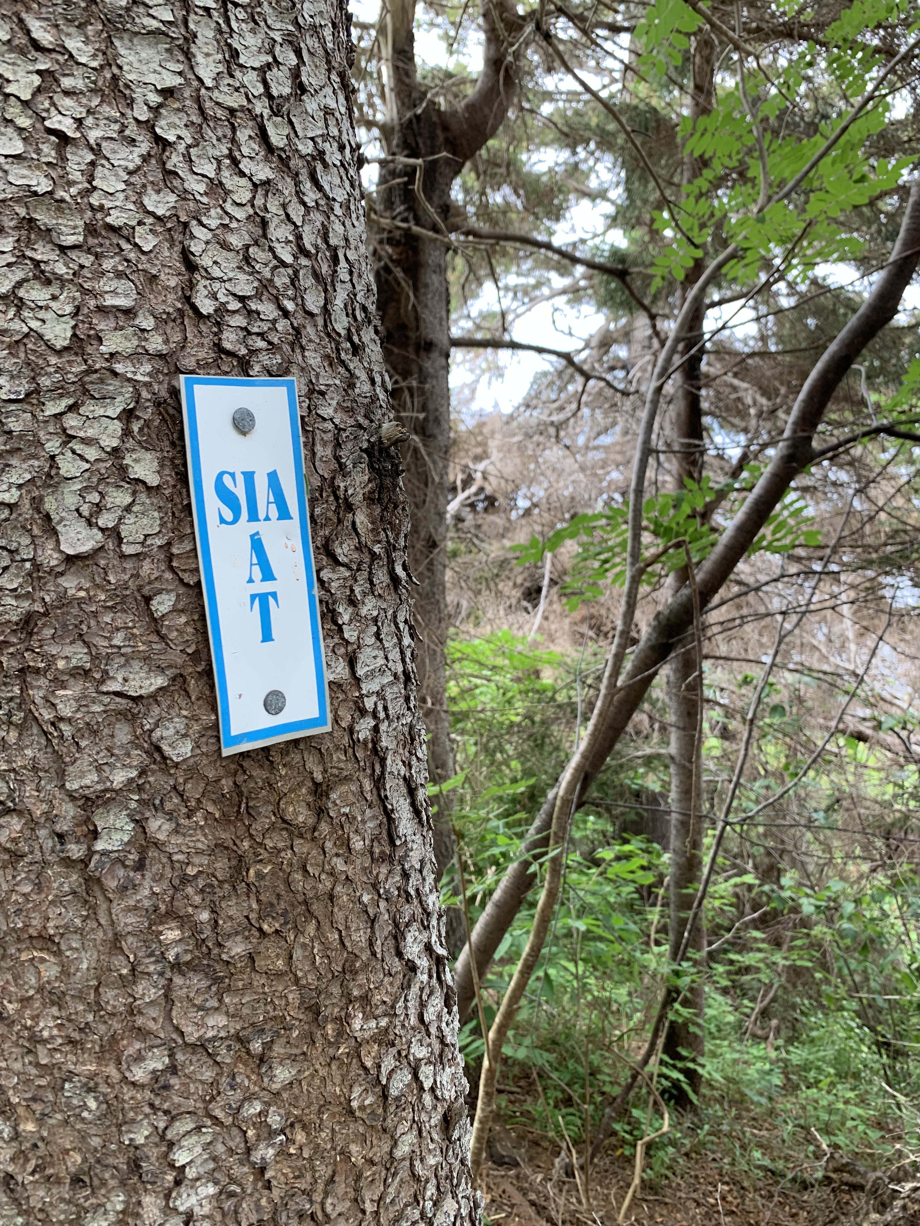
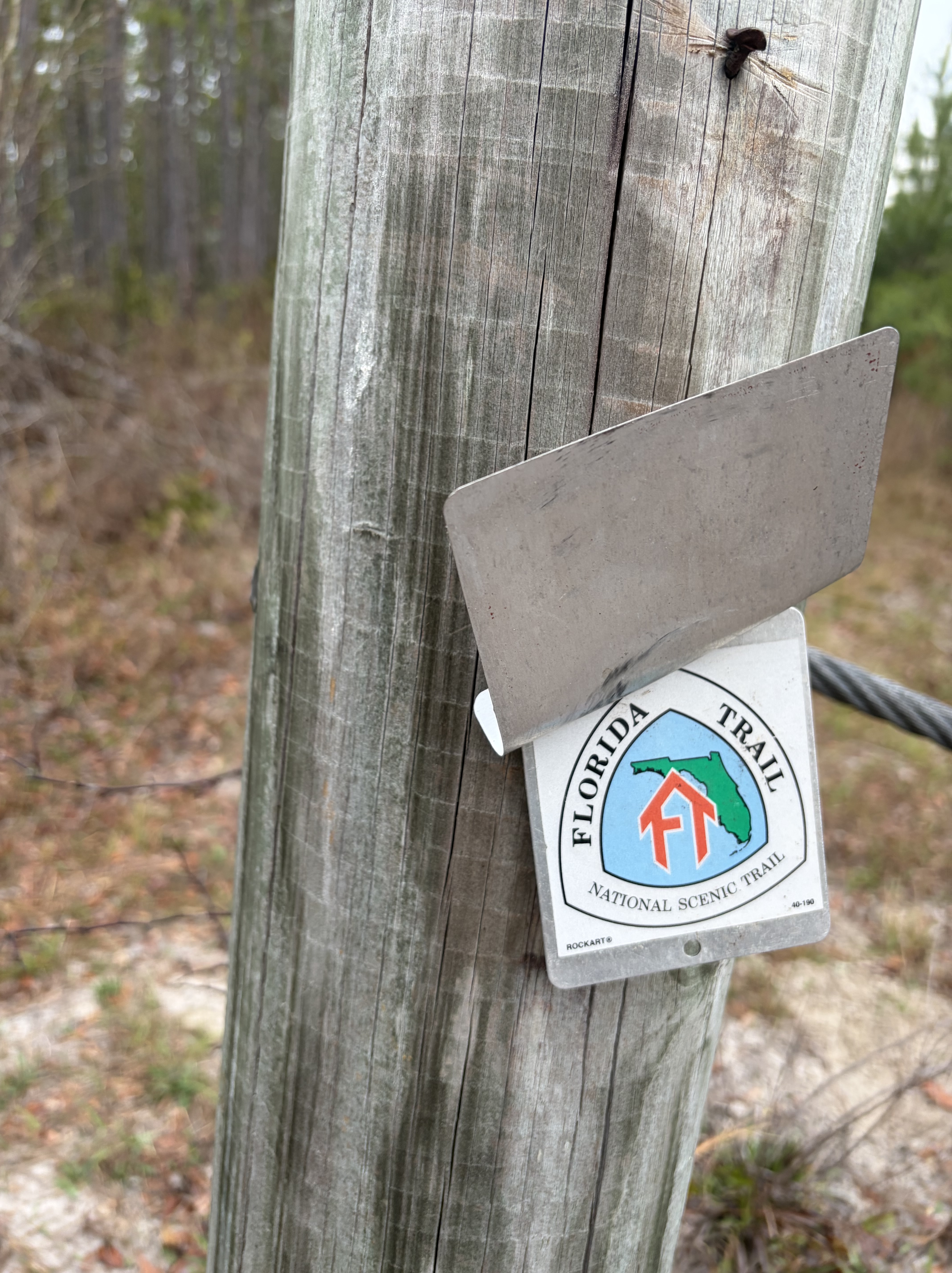
I leave my maps behind, as well, gambling that the FarOut App would be enough.
No Florida Trail endeavor (for me) has ever begun without some form of drama, and this year it was fire. Eager to hike the most southern section of the trail, Big Cypress, in what is turning out to be a significant year of drought in Florida, I was sad to learn just days before my departure that Big Cypress was ablaze. All my plans for car parking and shuttles had to be rejiggered.
Image from Naples Daily News
Though the Big Cypress fire consumed 35,000 acres and even shut down Alligator Alley, the main east-west corridor north of the Everglades, burns are essential to the ecosystem of the swamp. What was an inconvenience for me turned out to be a boon for BC (lest I appear, dear reader, whiningly callous about my change of plans).
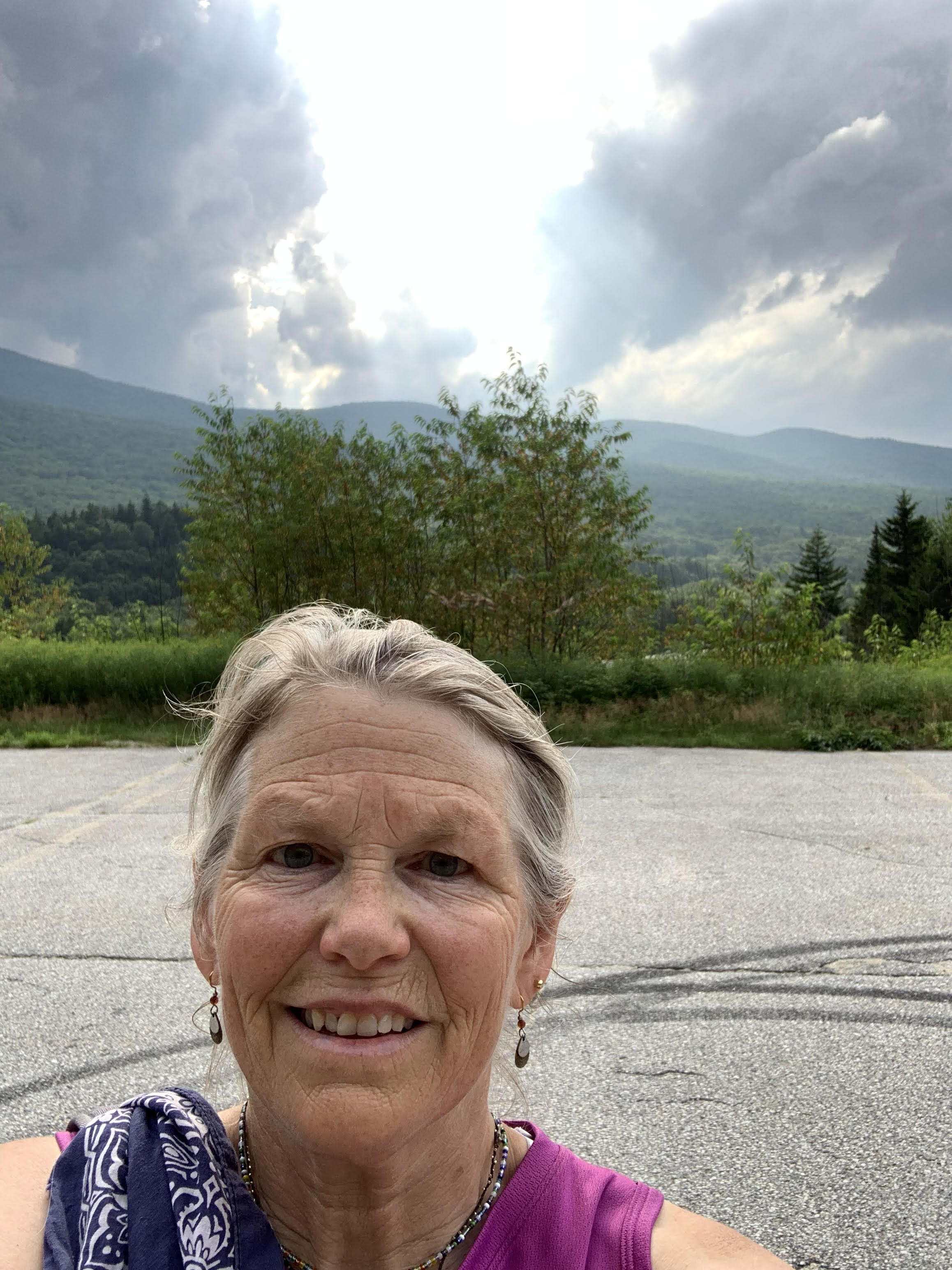
Having only two other unhiked sections to choose from, I decided to shift to the Suwannee. Every year previous that I have tried to complete this stunning segment, it has been flooded, so with water levels 10 feet below the safe margin, I finally got my chance.
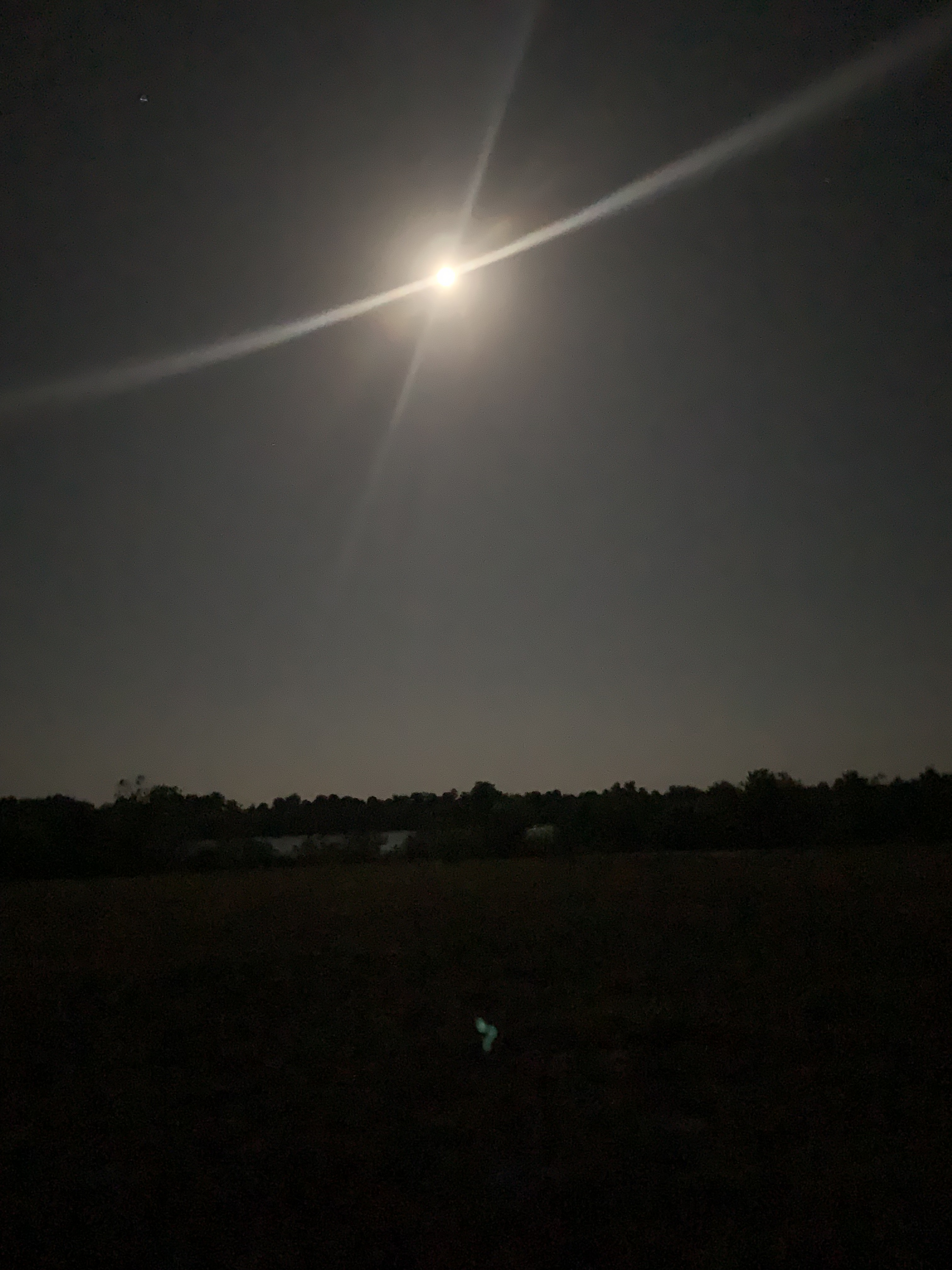
But not before more drama. On the morning my shuttle is supposed to arrive, I venture outside of the White Springs B & B to catch the blood moon and realize I’m hot and dizzy. Queasy. Stumbling back inside, I call Earthworm, my trail angel ride, to reschedule, then book two more nights at the B & B.
Younger me would have been frustrated, upset. Older, calmer me made what lemonade I could. I sleep most of the first day, watch Korean dramas, hydrate.
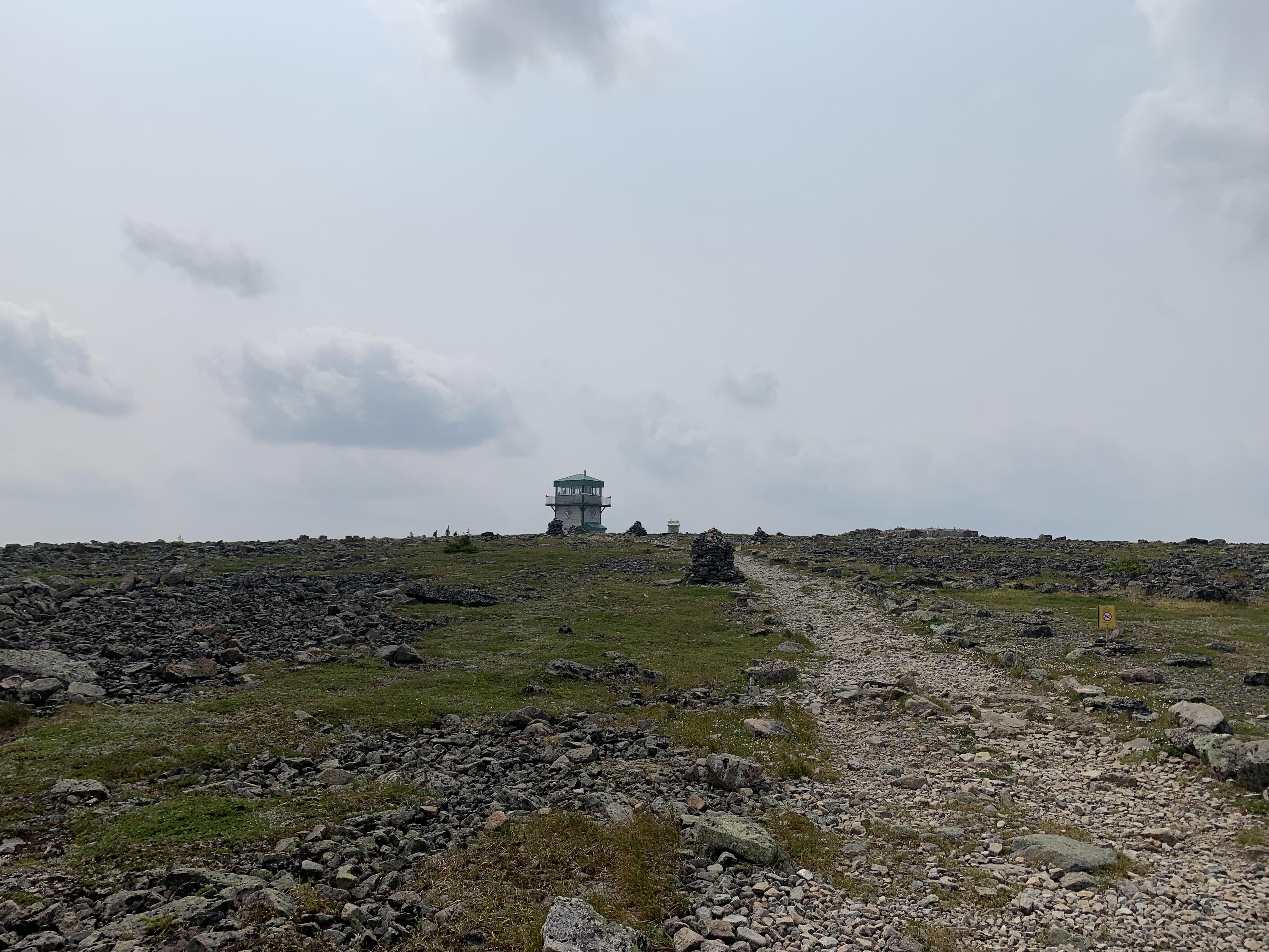
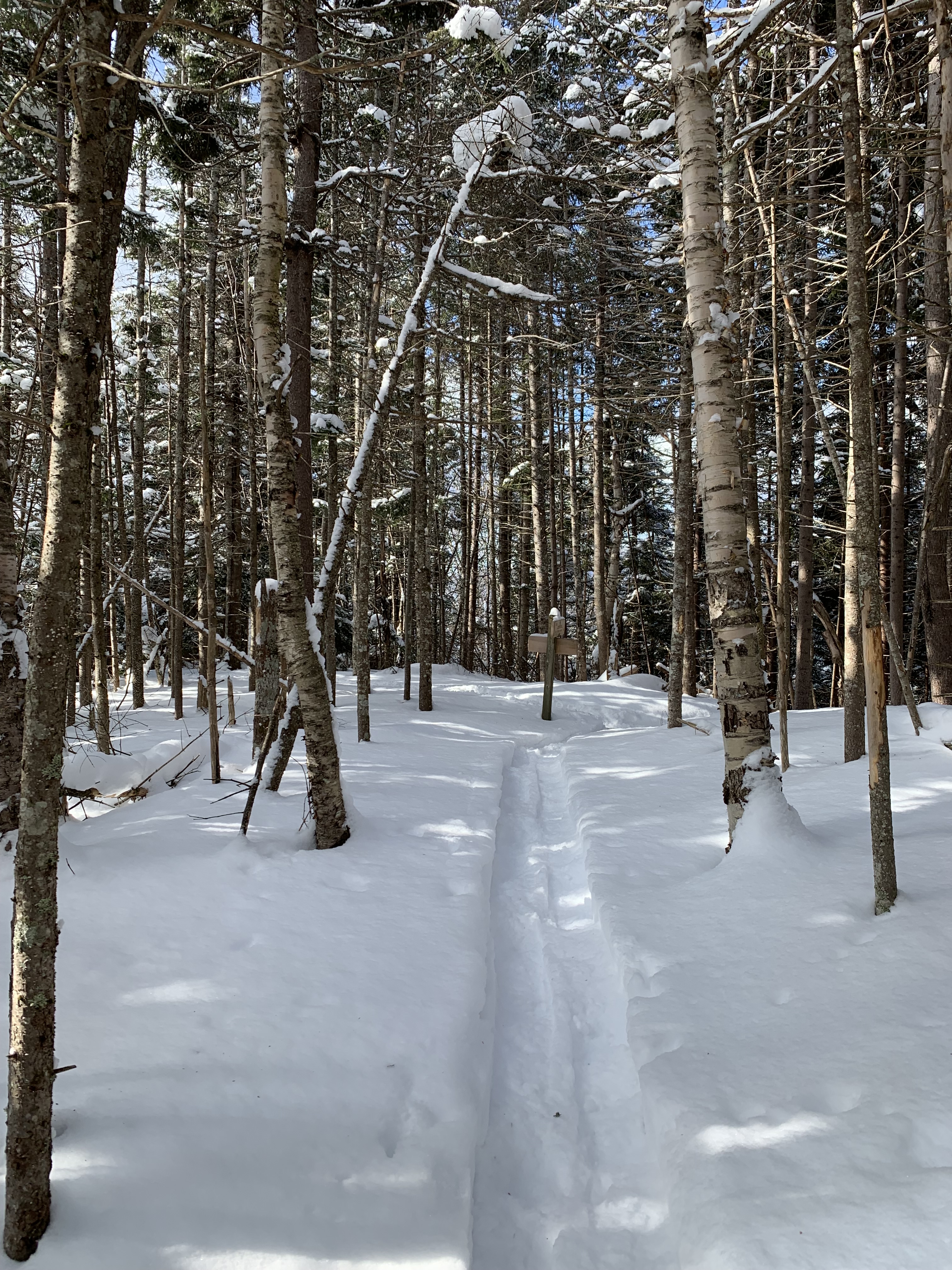
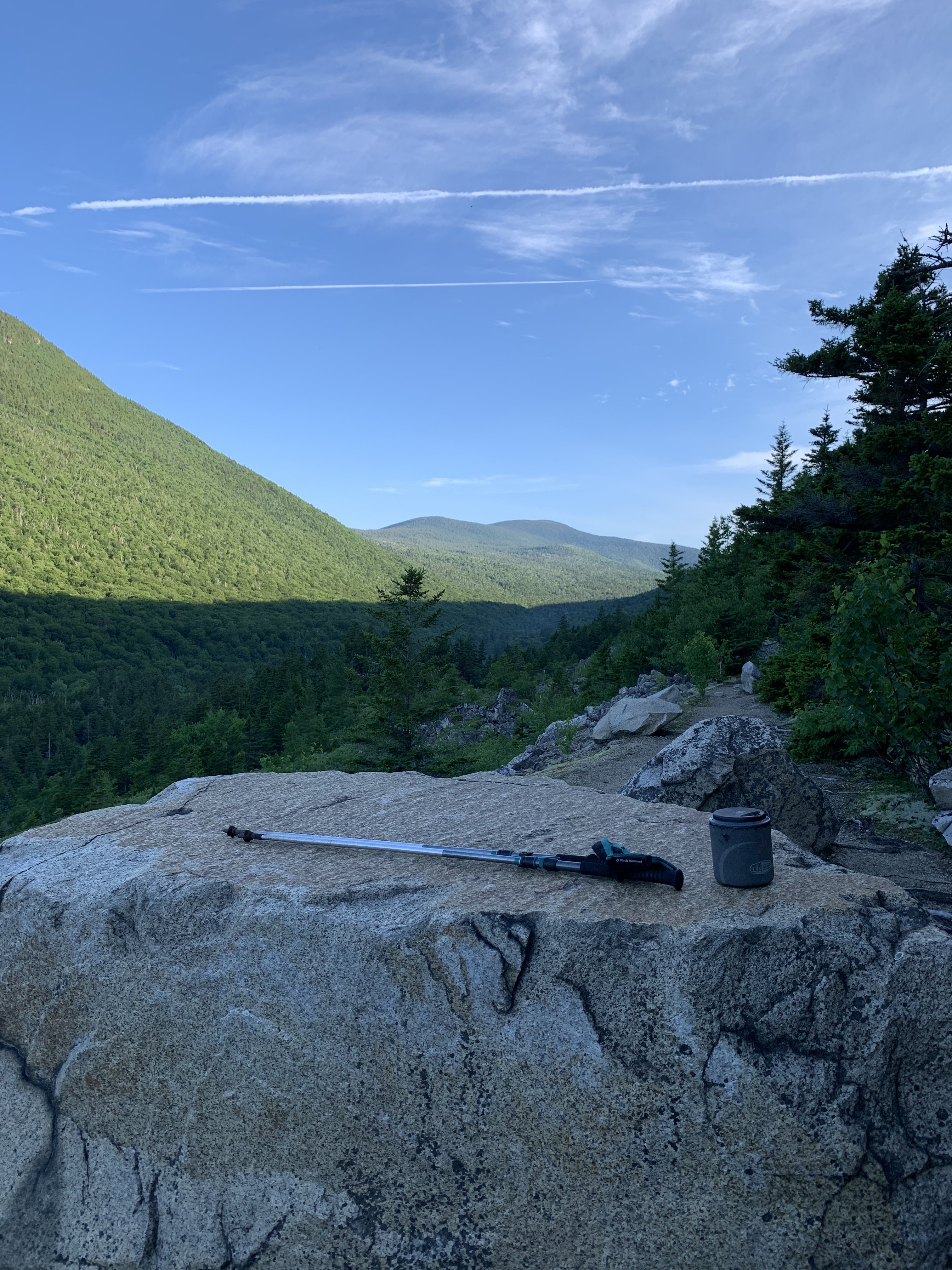
On day two, I feel well enough to hike Big Shoals, a short piece I had skipped years before due to a high water bypass.
The Shoals are down to a trickle, hardly the torrents that routinely draw kayakers and white water enthusiasts. Footsteps connected, however, I was ready on the morning of day three to head out.
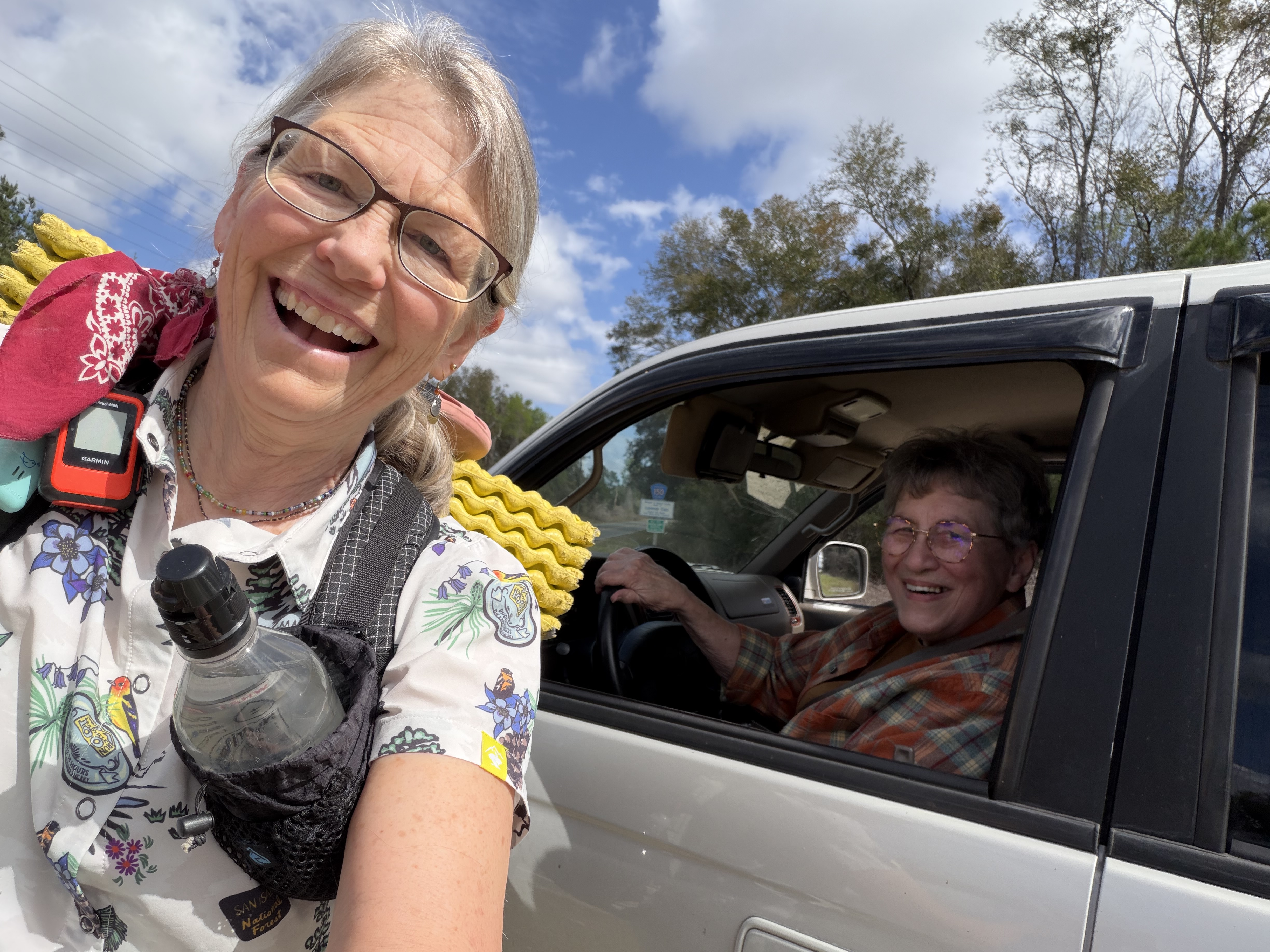
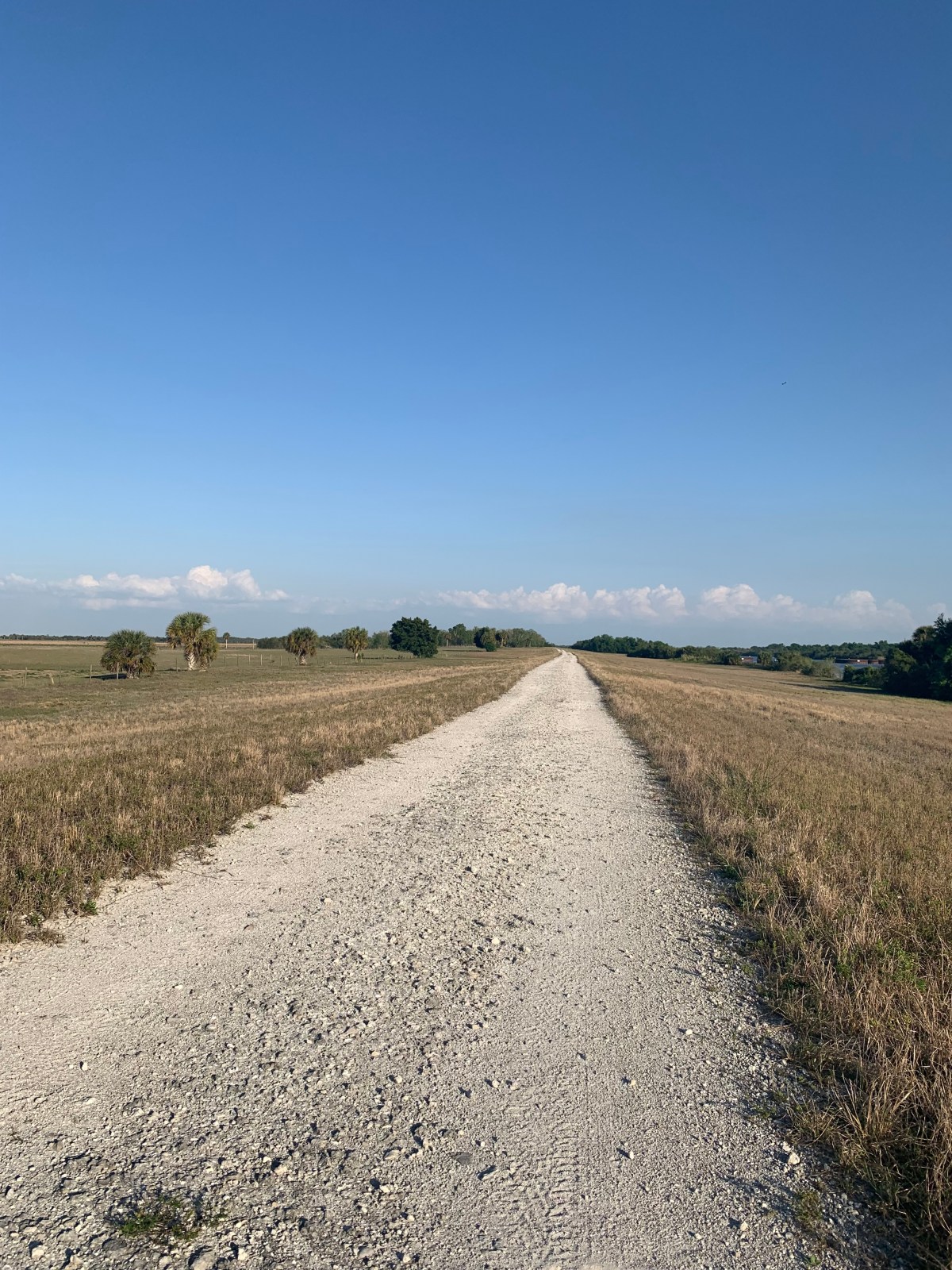
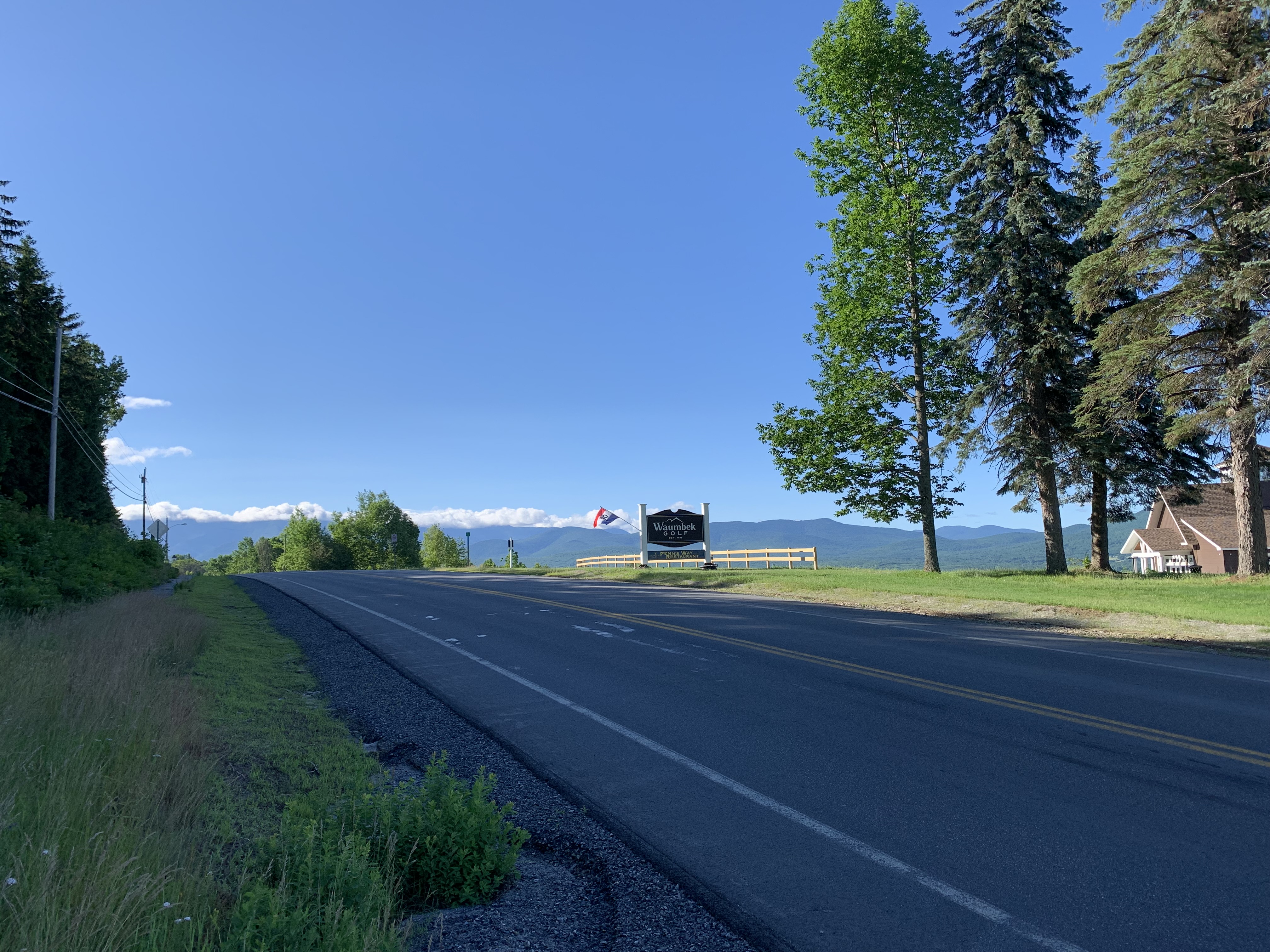
After an hour of lively conversation, Earthworm drops me 100 miles north of White Springs to begin what will be the first challenge of this section, a 40 mile road walk on pavement, dirt, and sand.

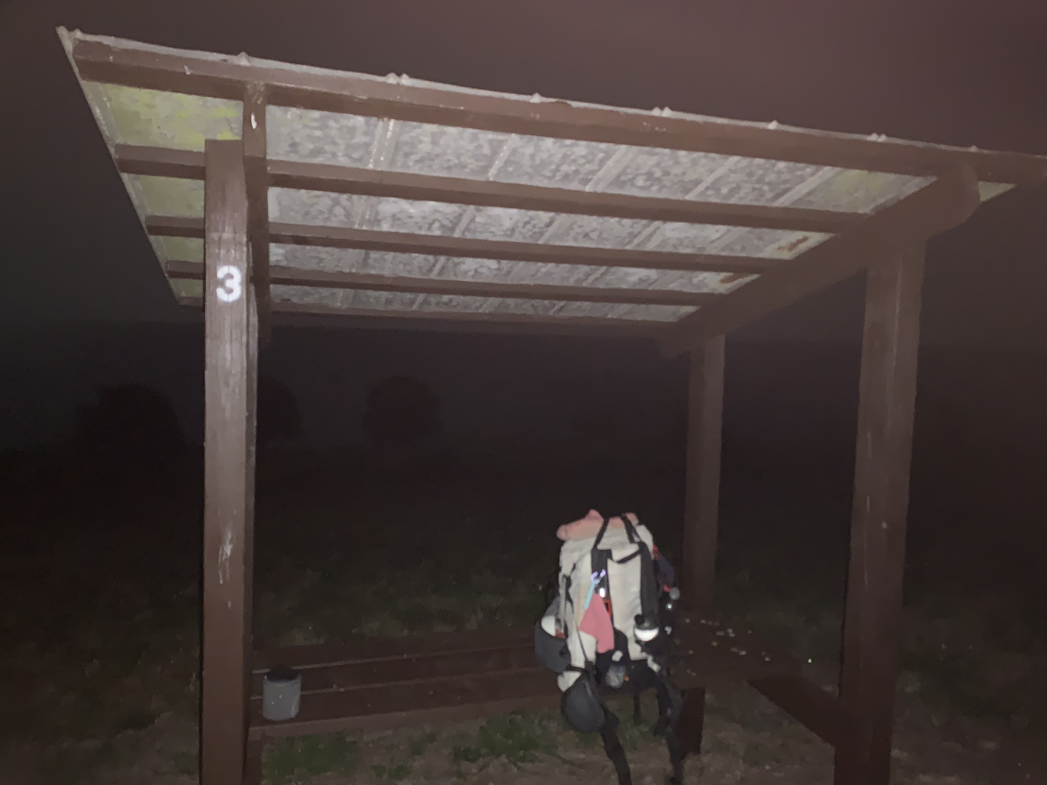
I typically don’t mind road walks, given one can forget one’s feet and breeze along at a pace incompatible with forest trails. But along this stretch there were only two options for me to spend the night: a cemetery or a church.
The church would be a push, given my late drop-off time, but I wasn’t terribly excited about the cemetery, even though when I walked by it around 4:00 that afternoon, it looked grassy, cool and quiet.
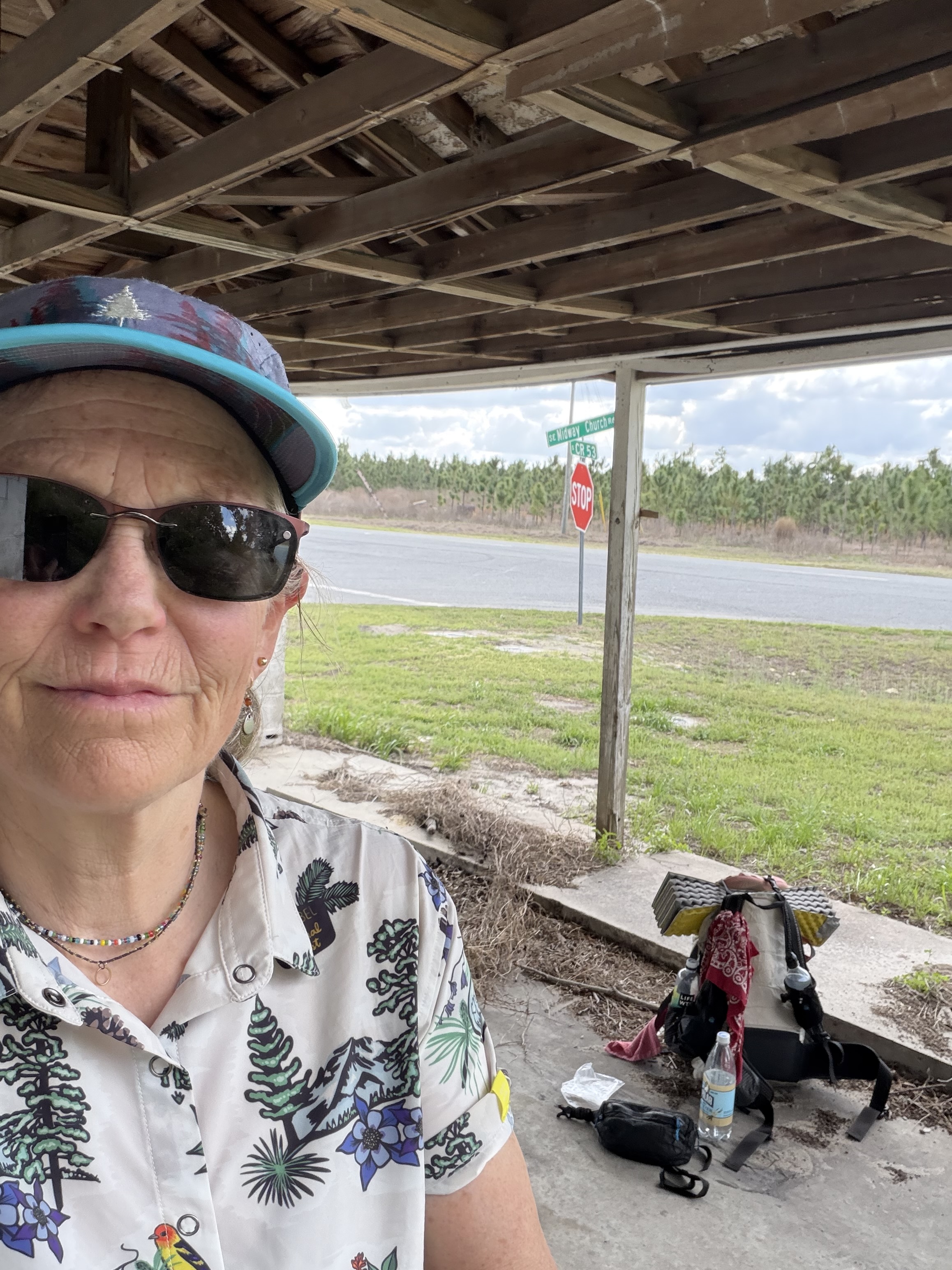
But the church!
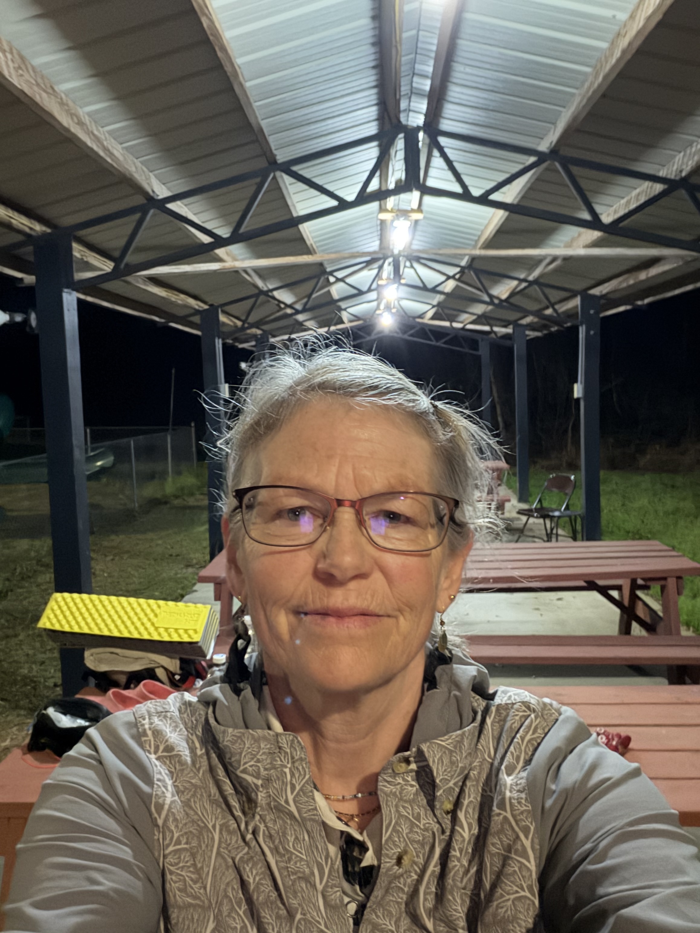
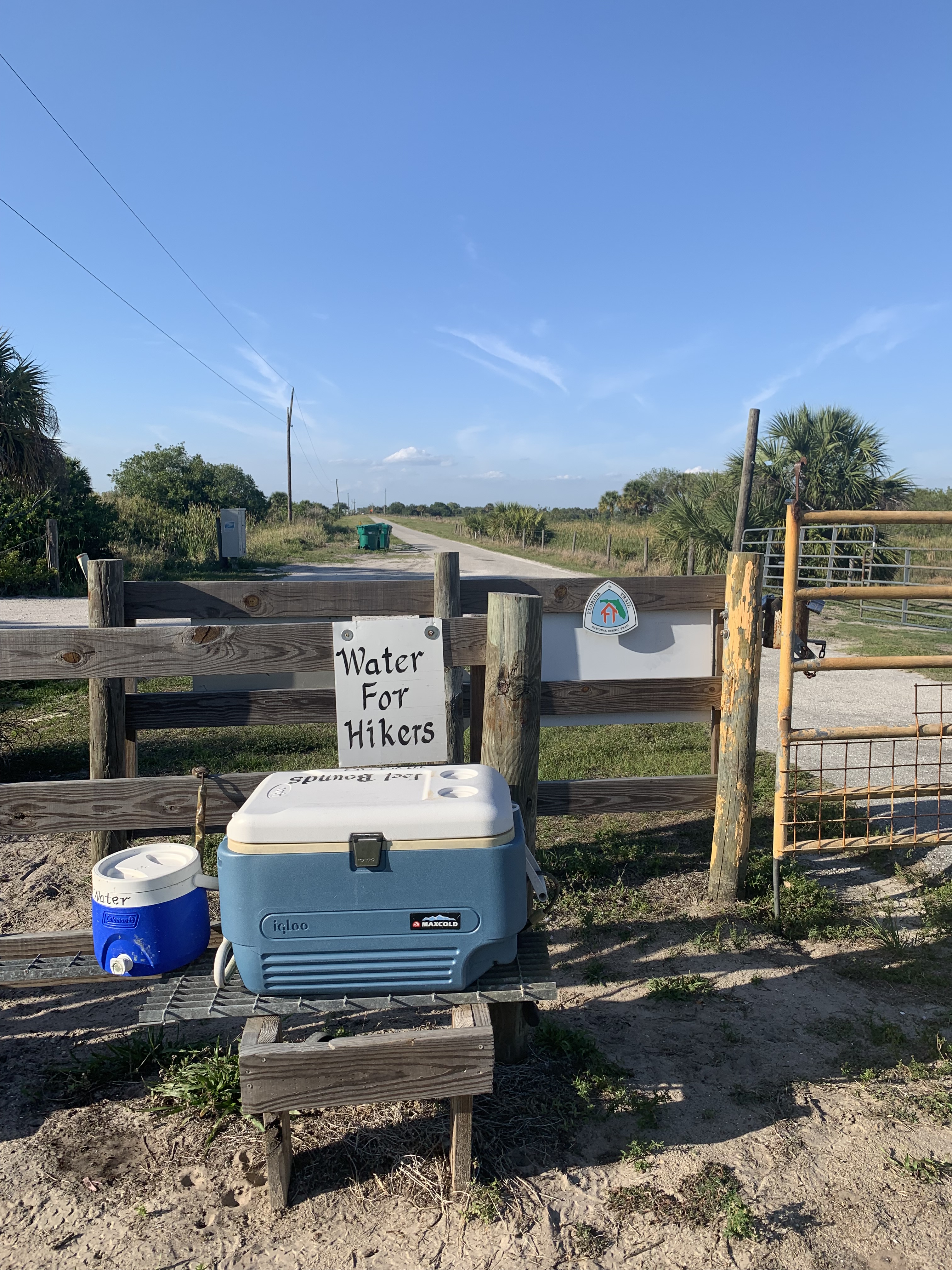
New Hope Baptist had everything a tired hiker might need. Flat grassy spaces. Picnic tables. A roof. Electric outlets. Water. Even a huge industrial fan I use the next morning to dry out my tent. Luxury!
It’s hard to pull myself away to pound out the remaining road.
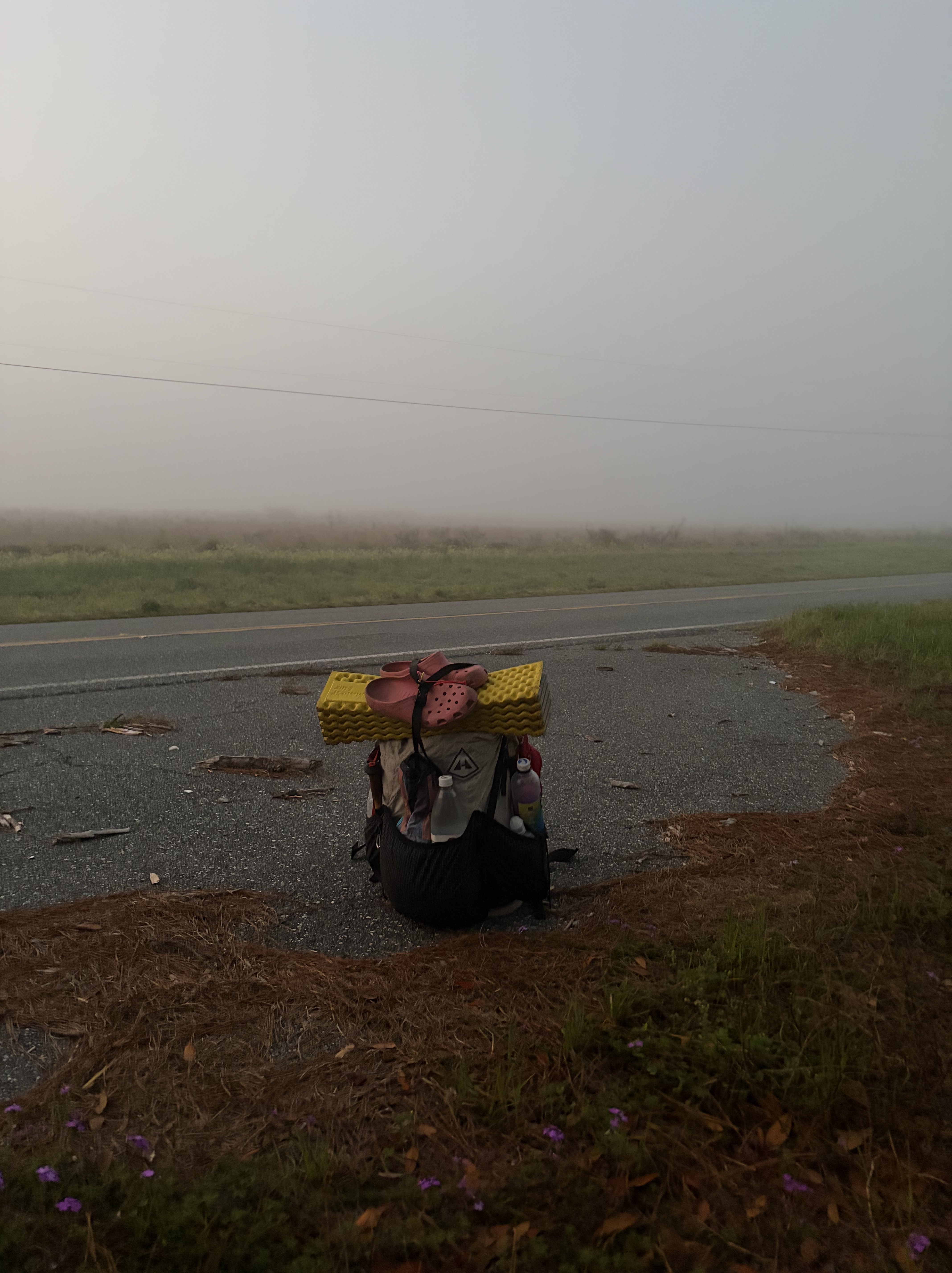
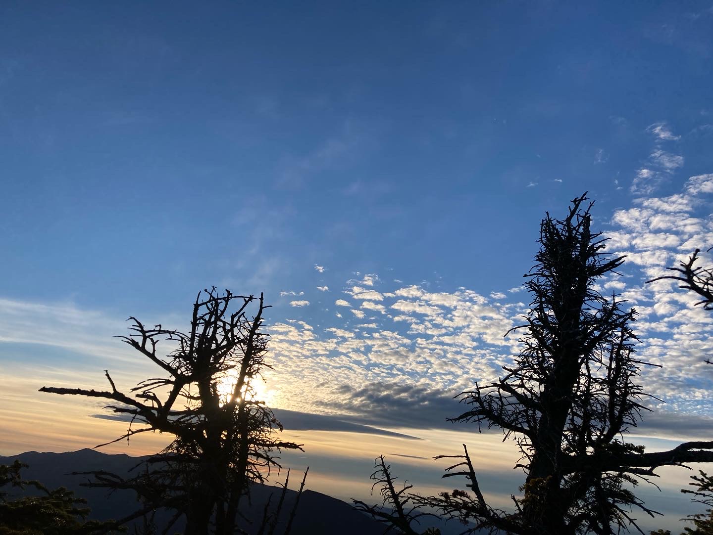
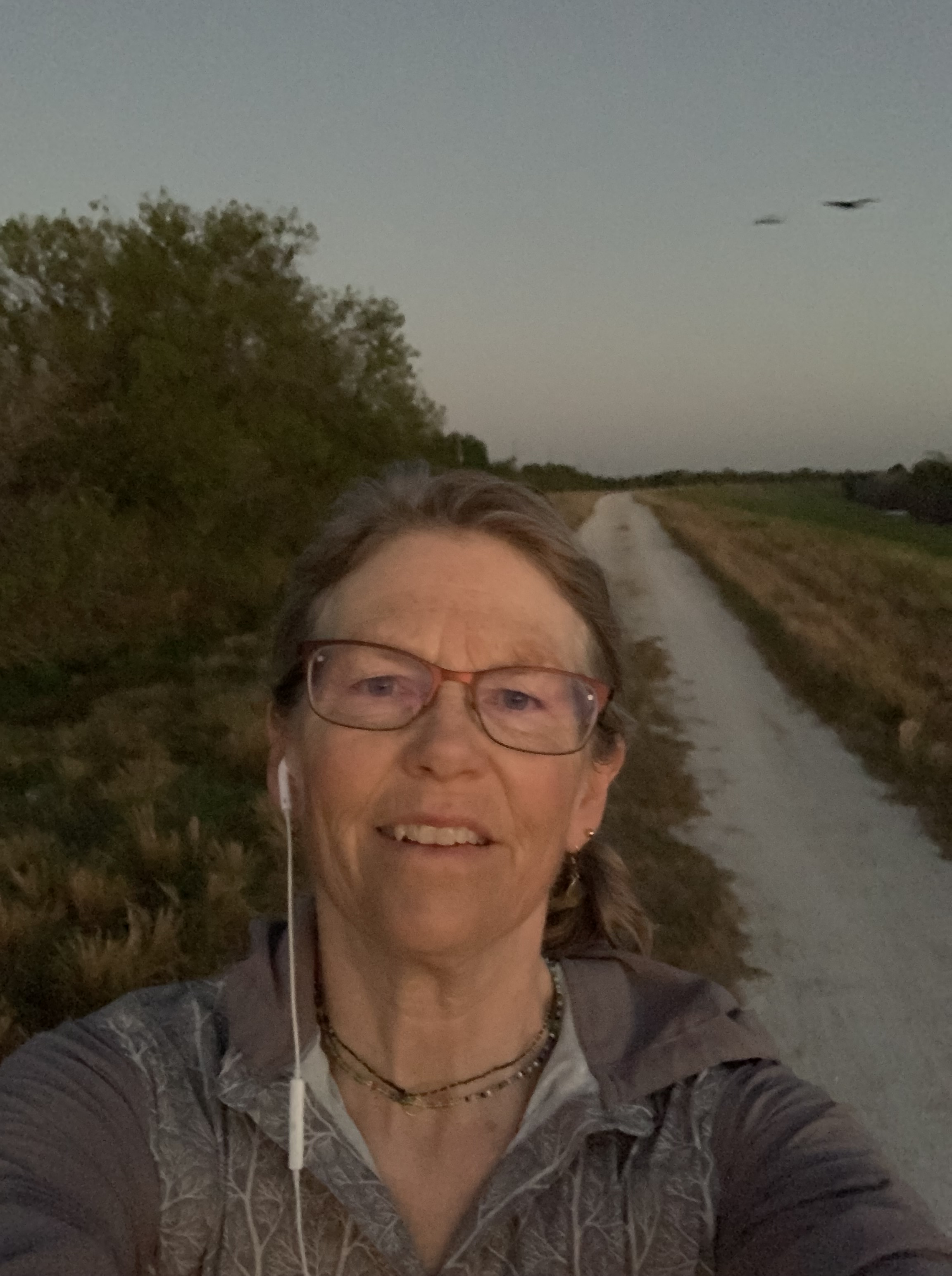
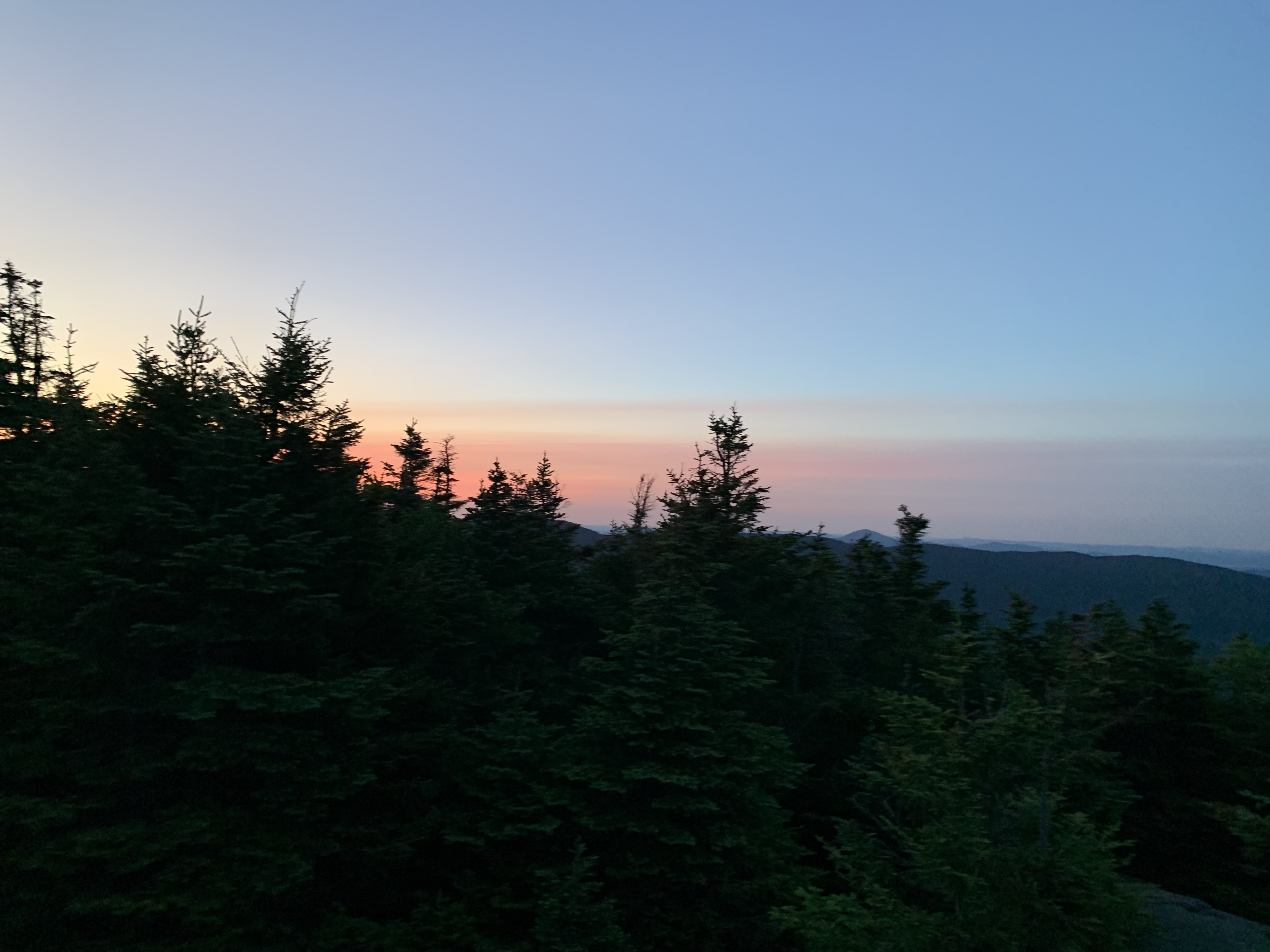
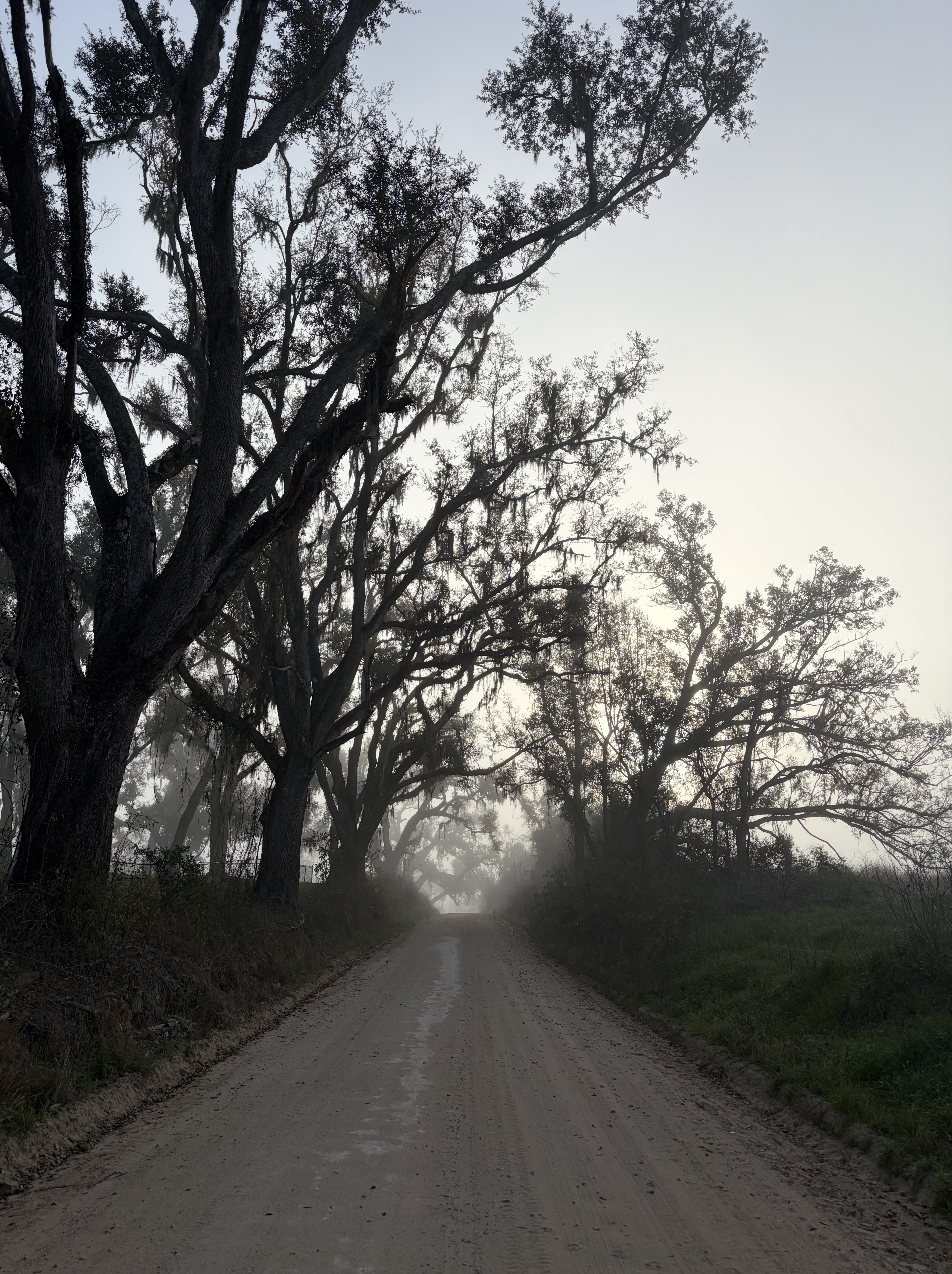
Fog pools around me as I set out in the dark, hoping to get in “10 before 10” (10 miles before 10:00) in advance of the heat.
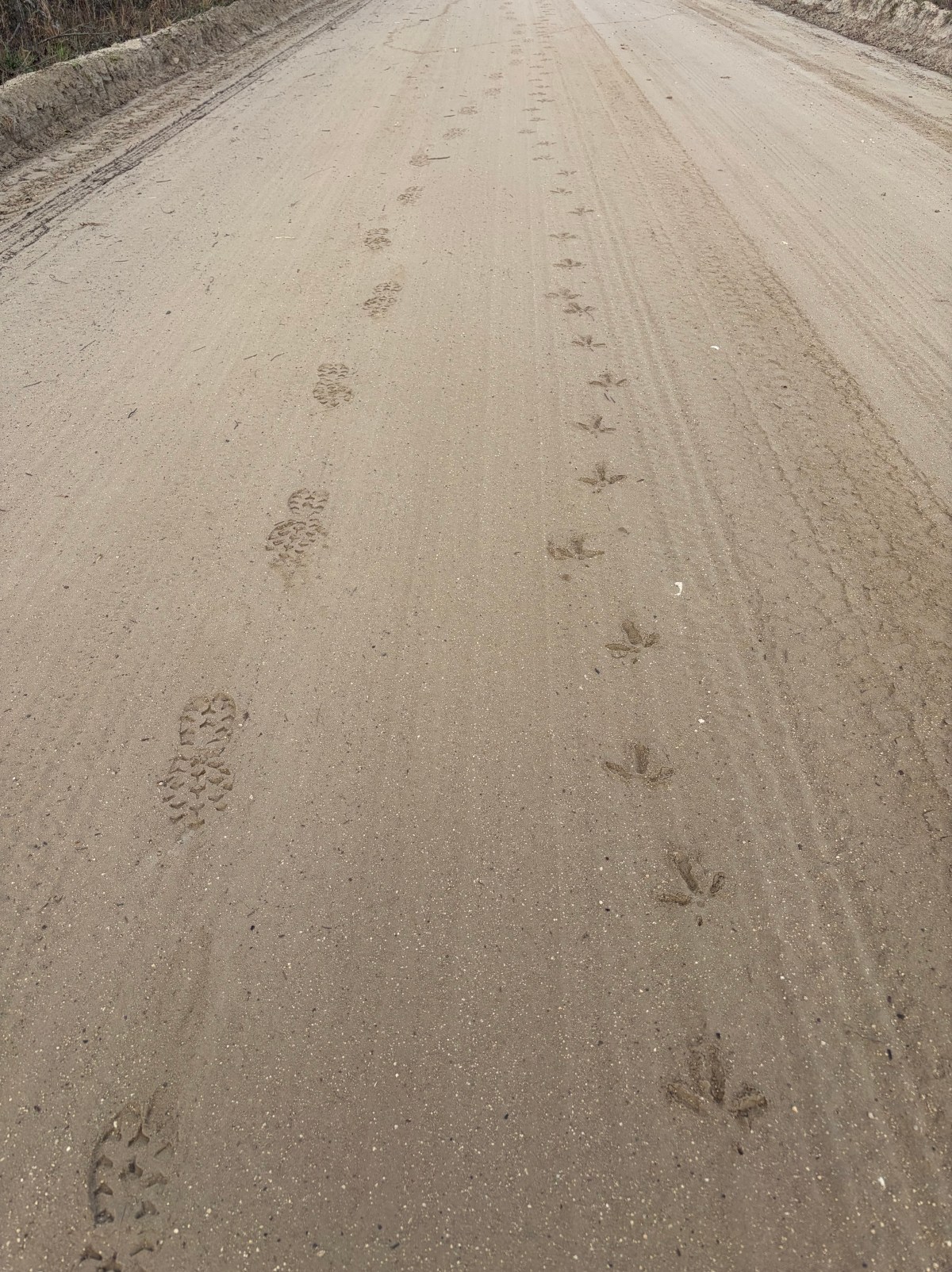
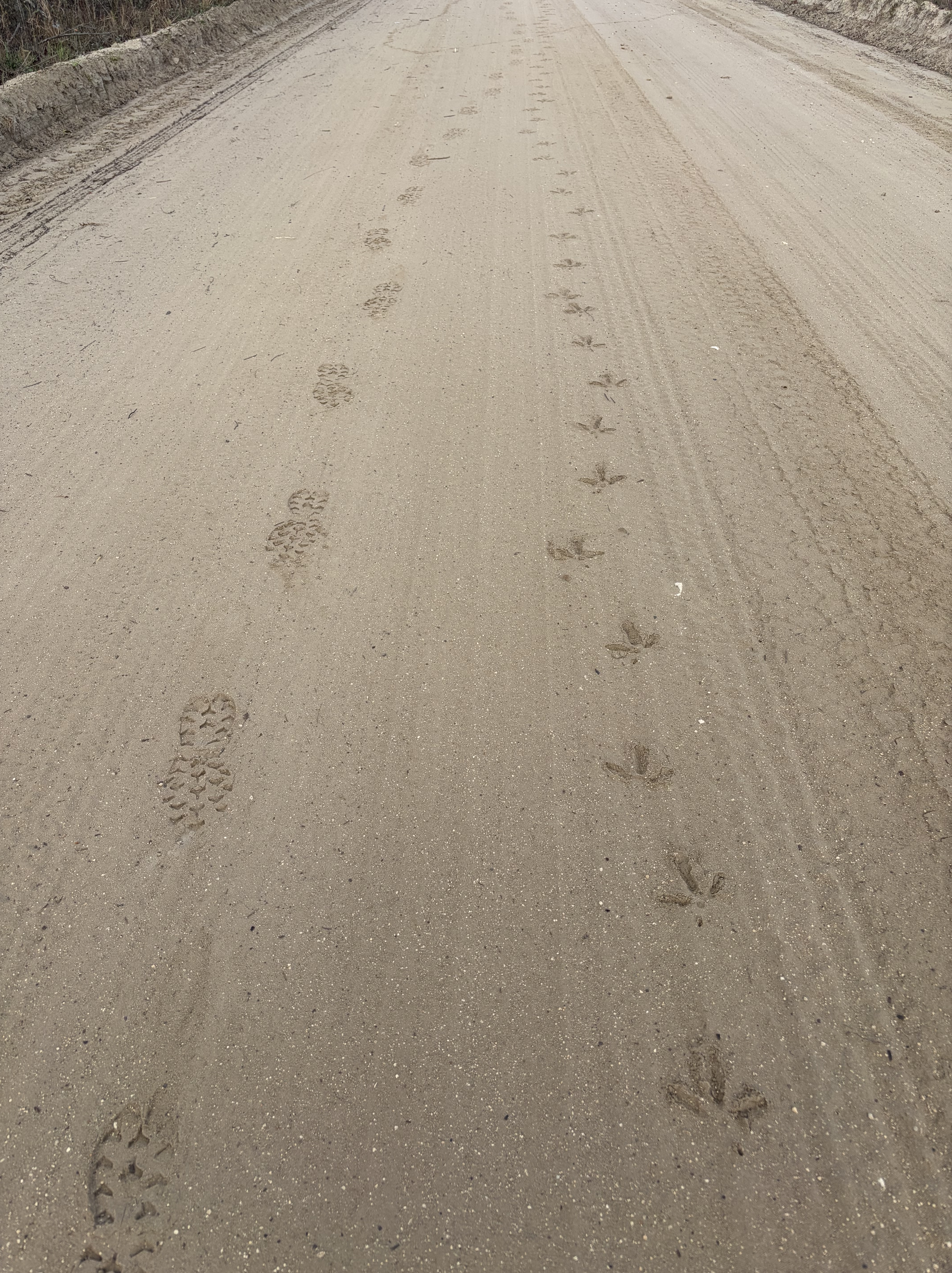
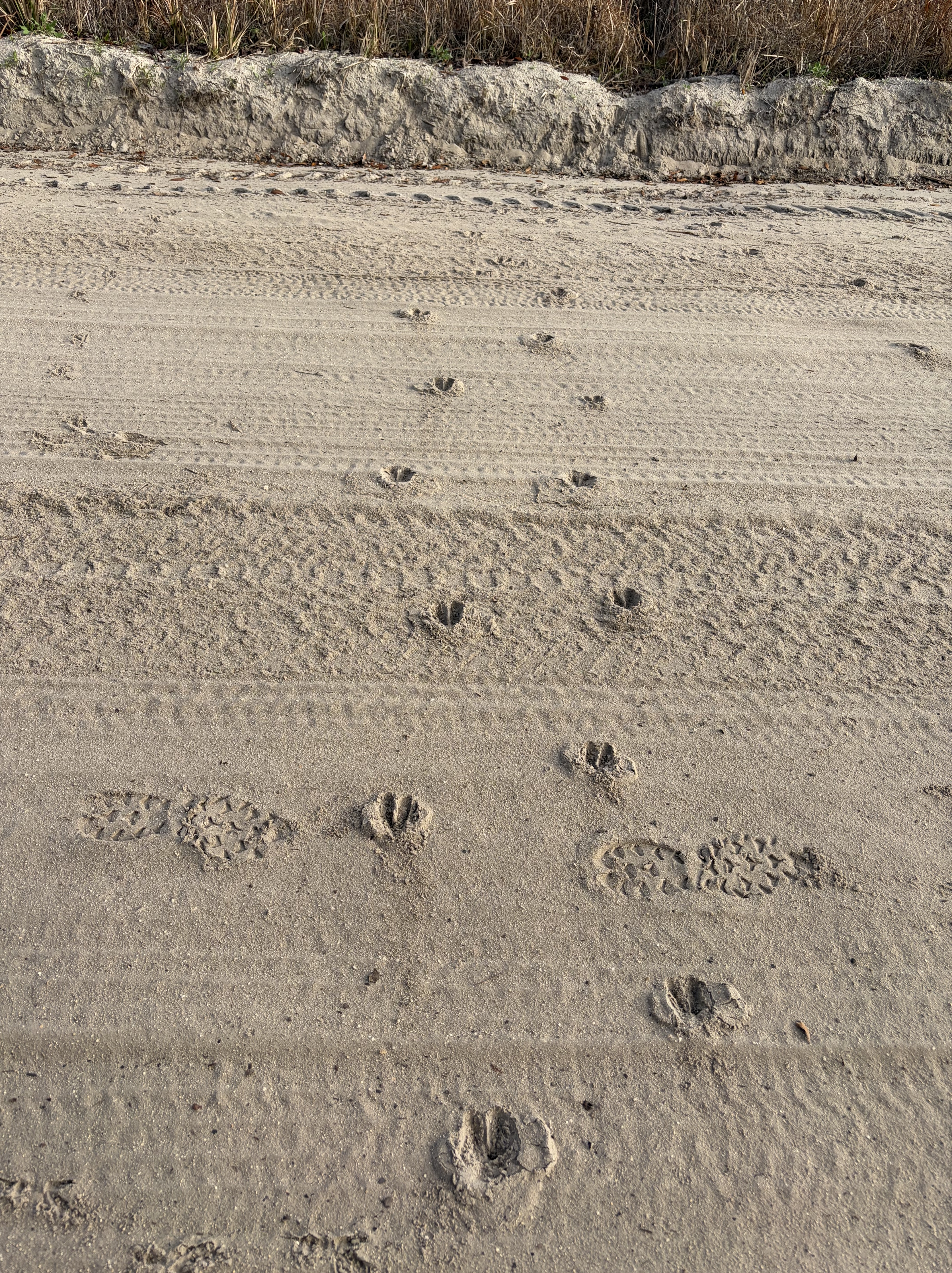
Dogs I pass are remarkably well behaved for rural Florida, a relief.
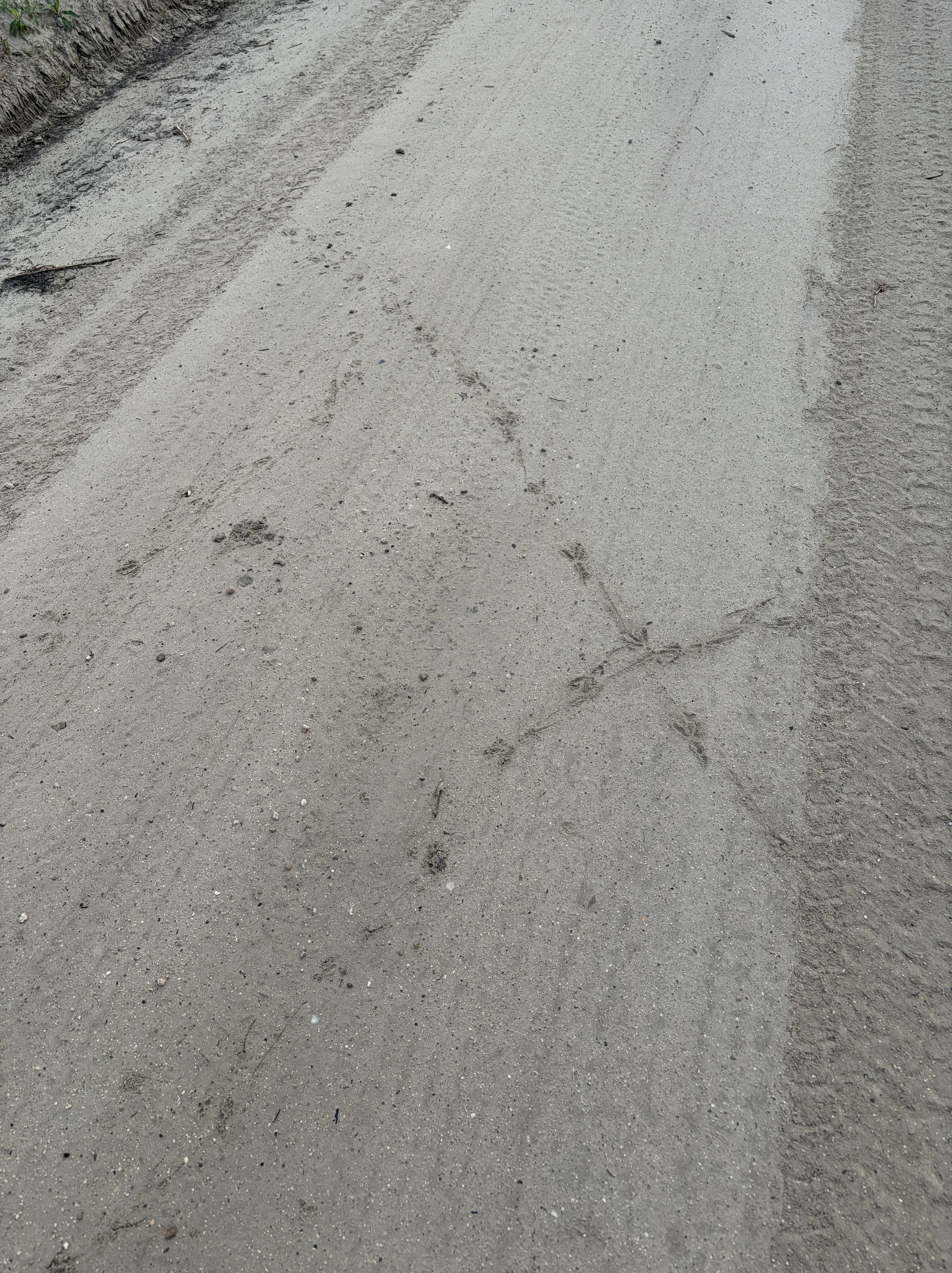
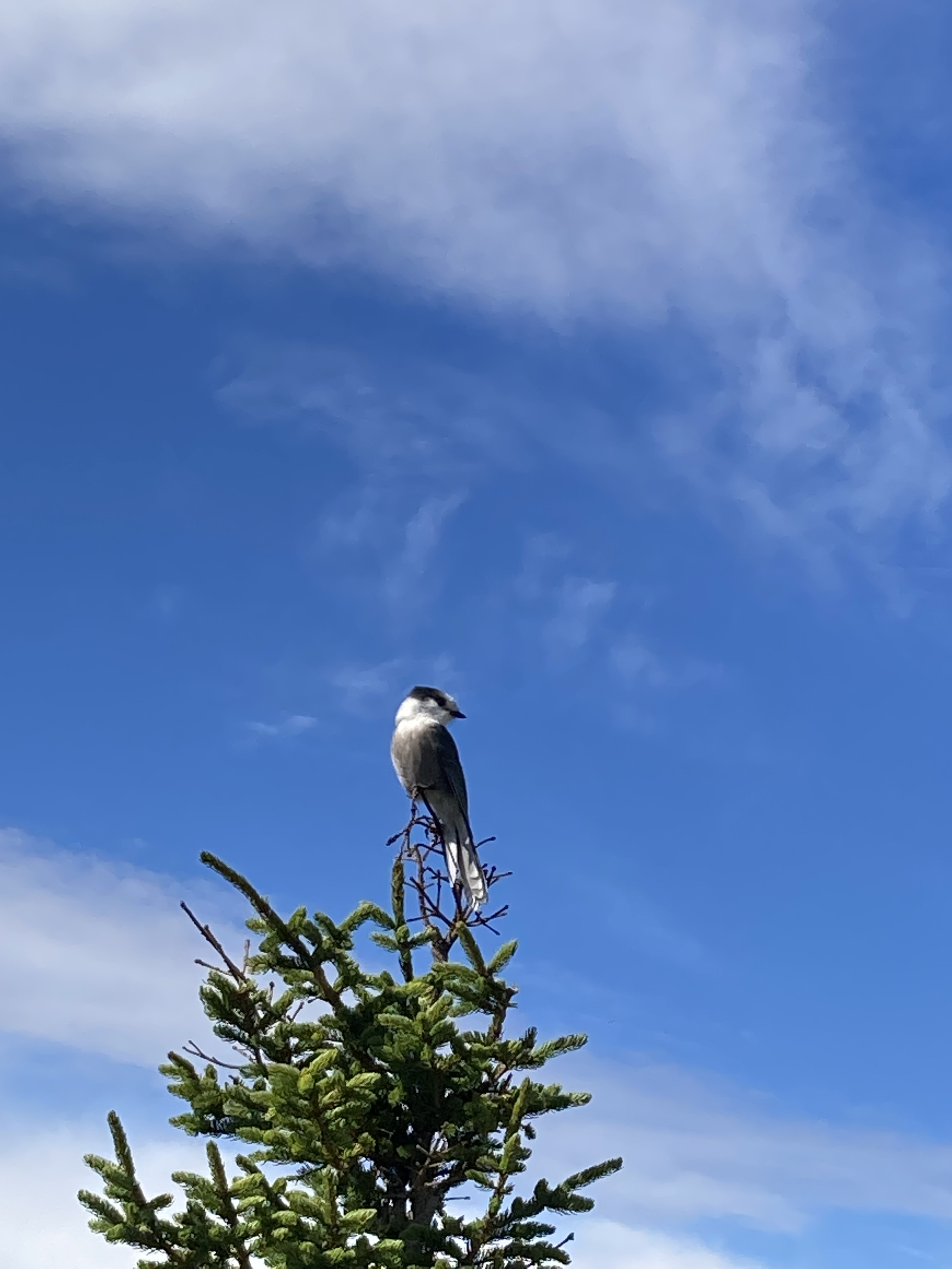
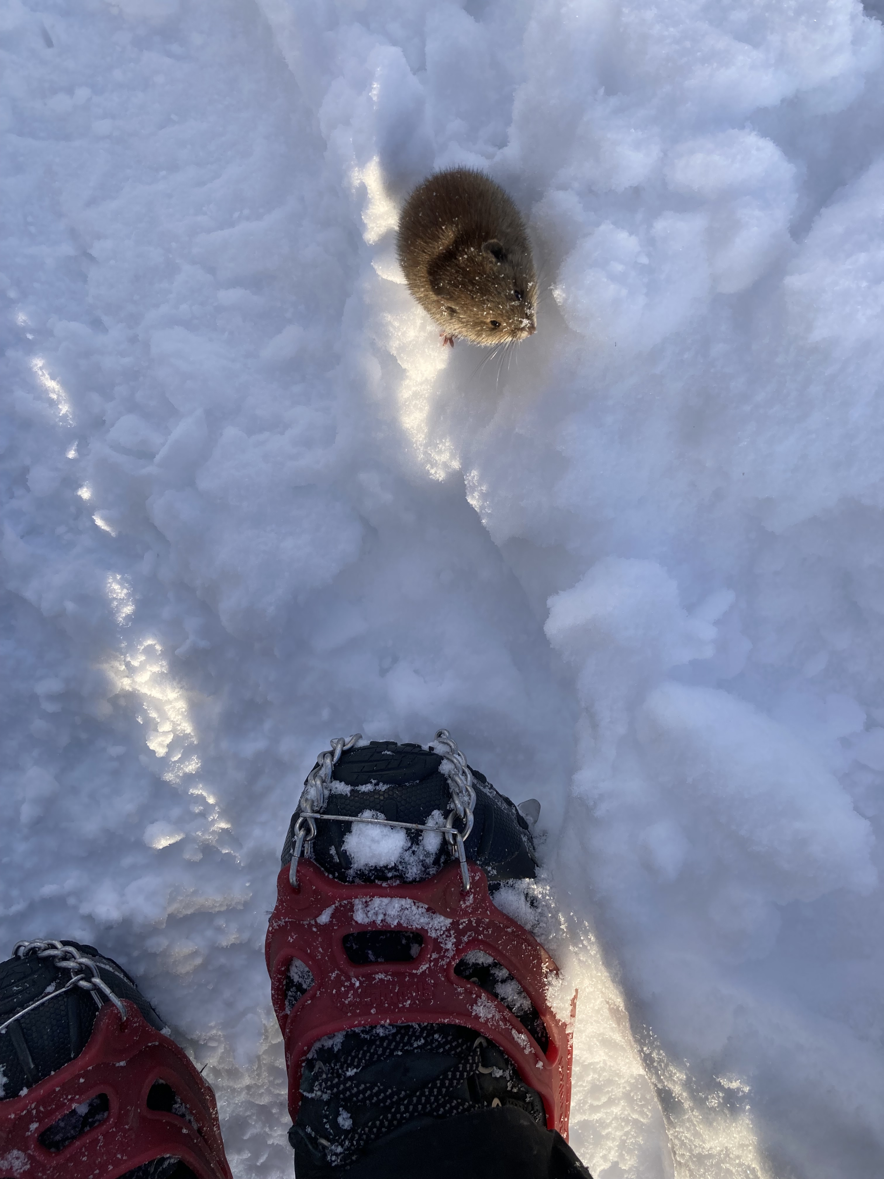
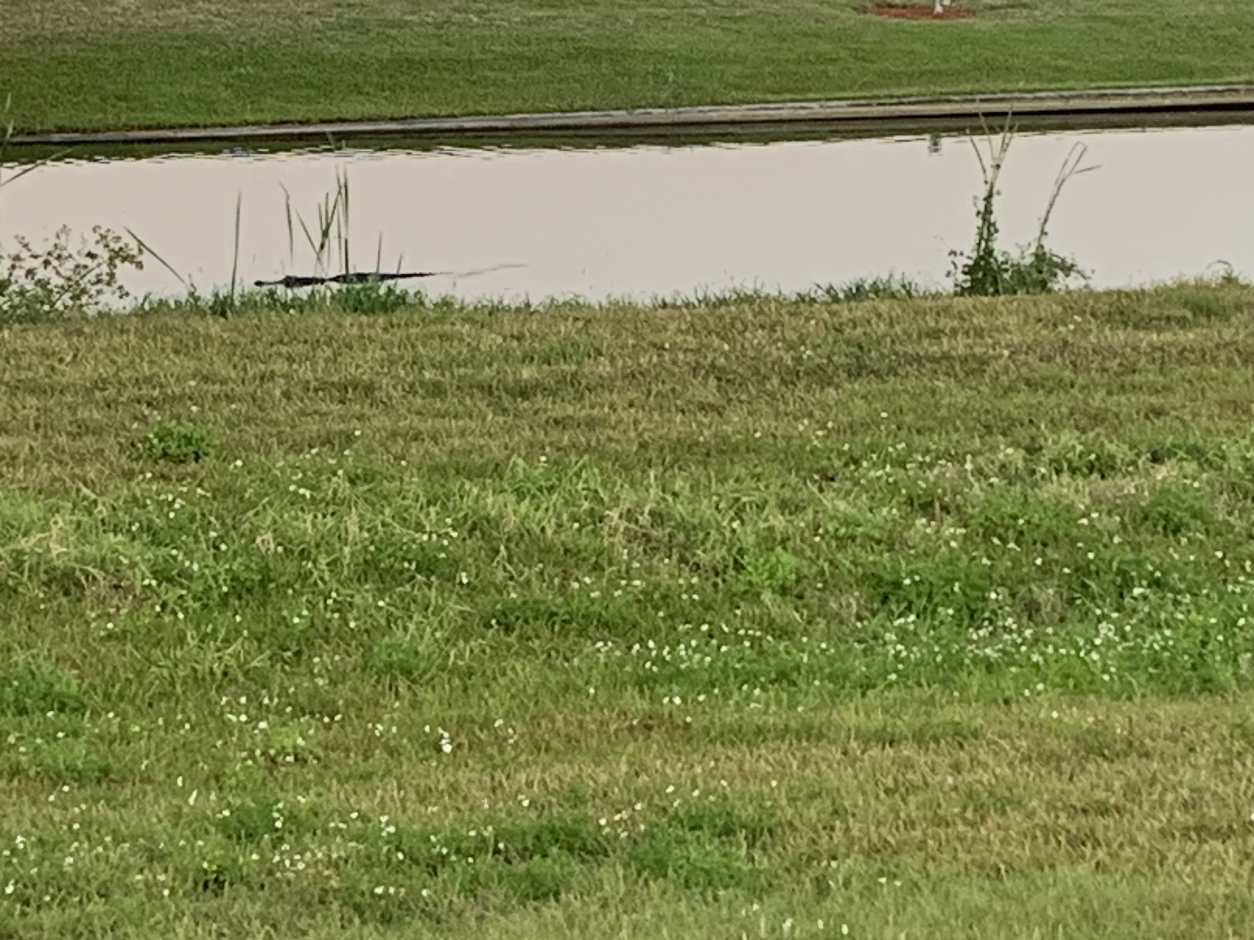
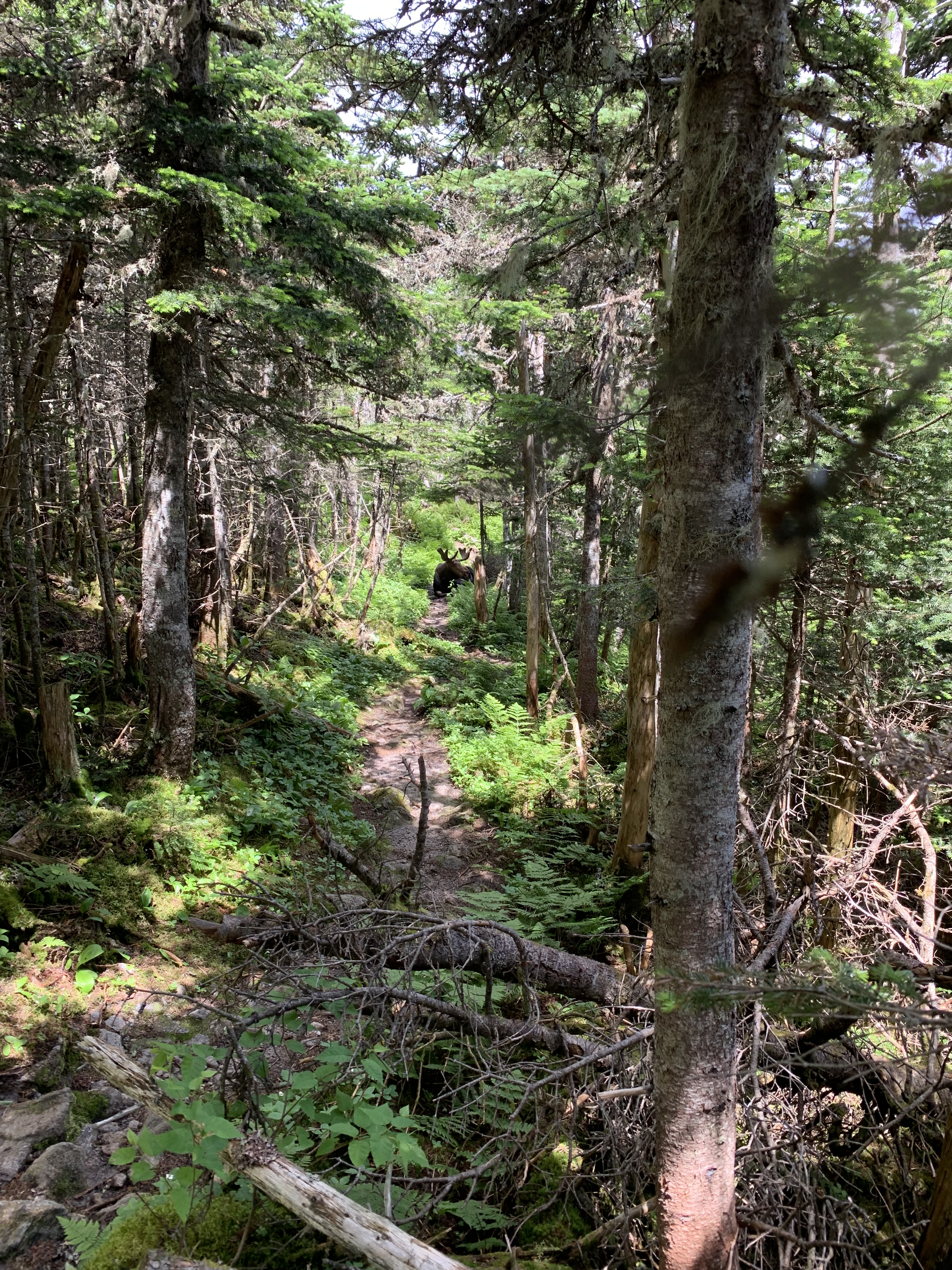
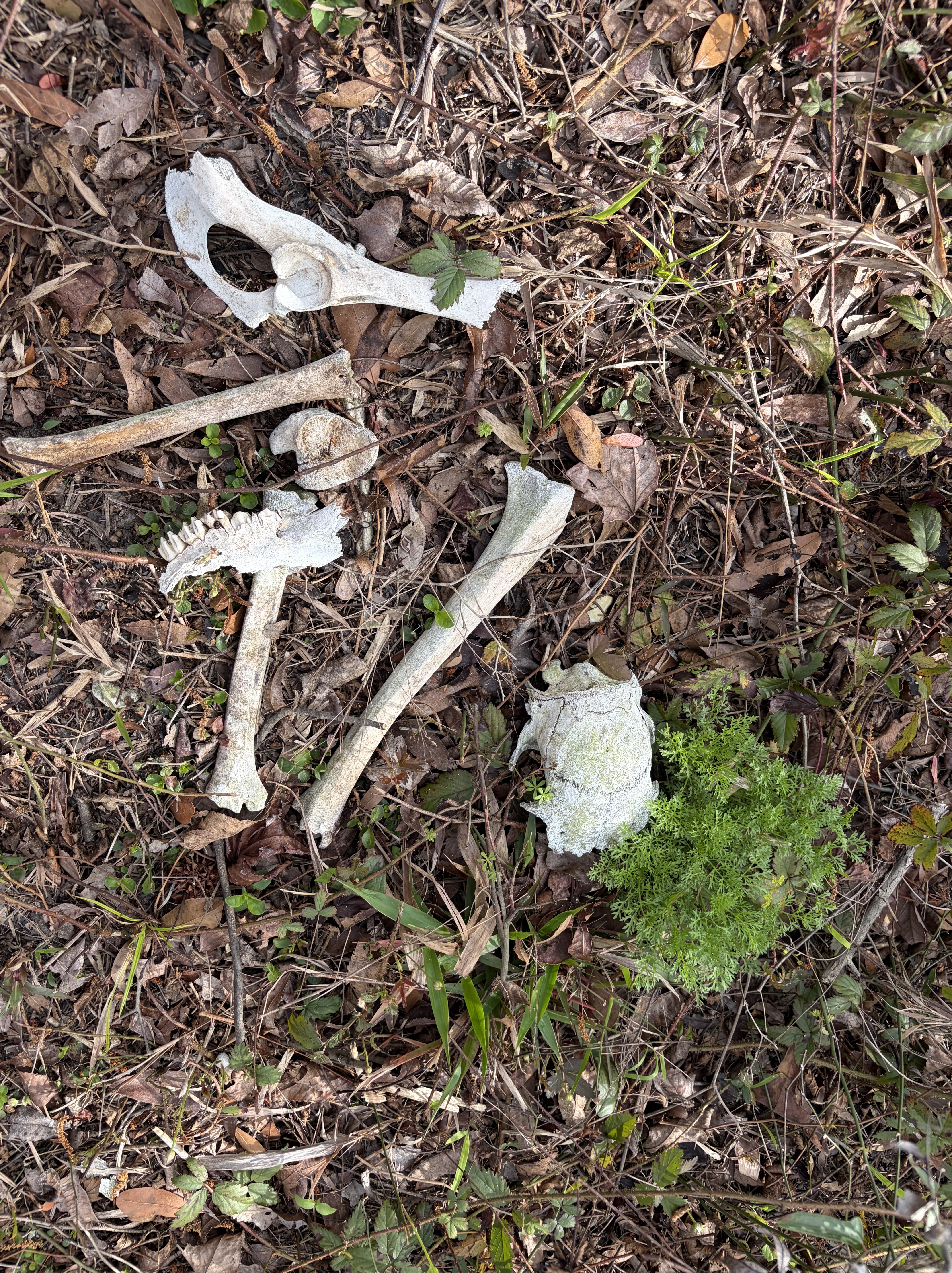
Other critters and I criss cross along forest way.
Pick-ups and logging trailers hustle by, kicking up dust. The hot arrives as I pull over to truck stop only .3 off the trail.
Yippee.
Subway and DQ for lunch, snack resupply and water for the afternoon.
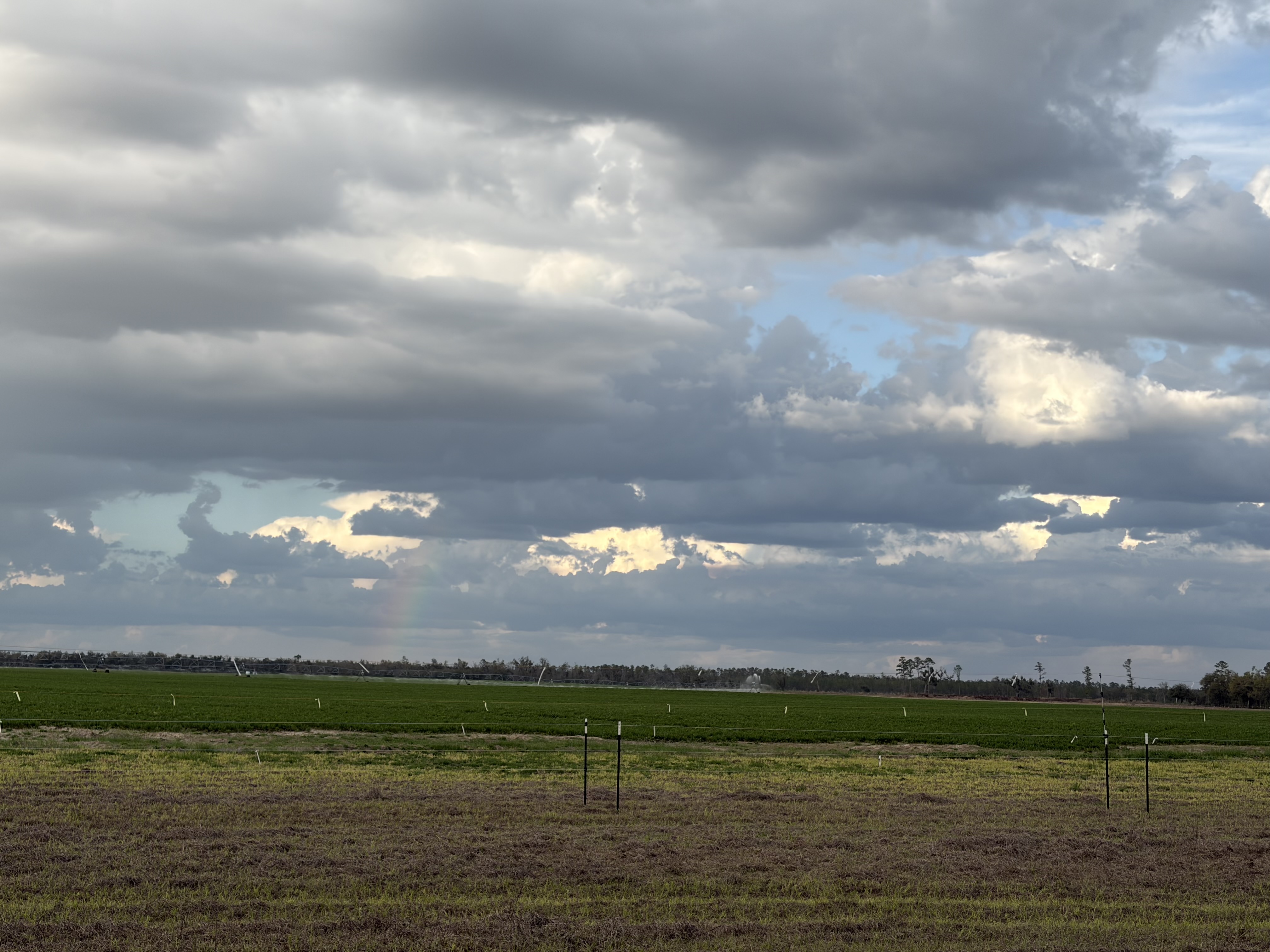
The last miles of road I have to measure off in small, reachable goals, as all shade disappears and I am surrounded by massive farms.
Three miles, rest.
Two miles, rest.
Last intersection, turn.

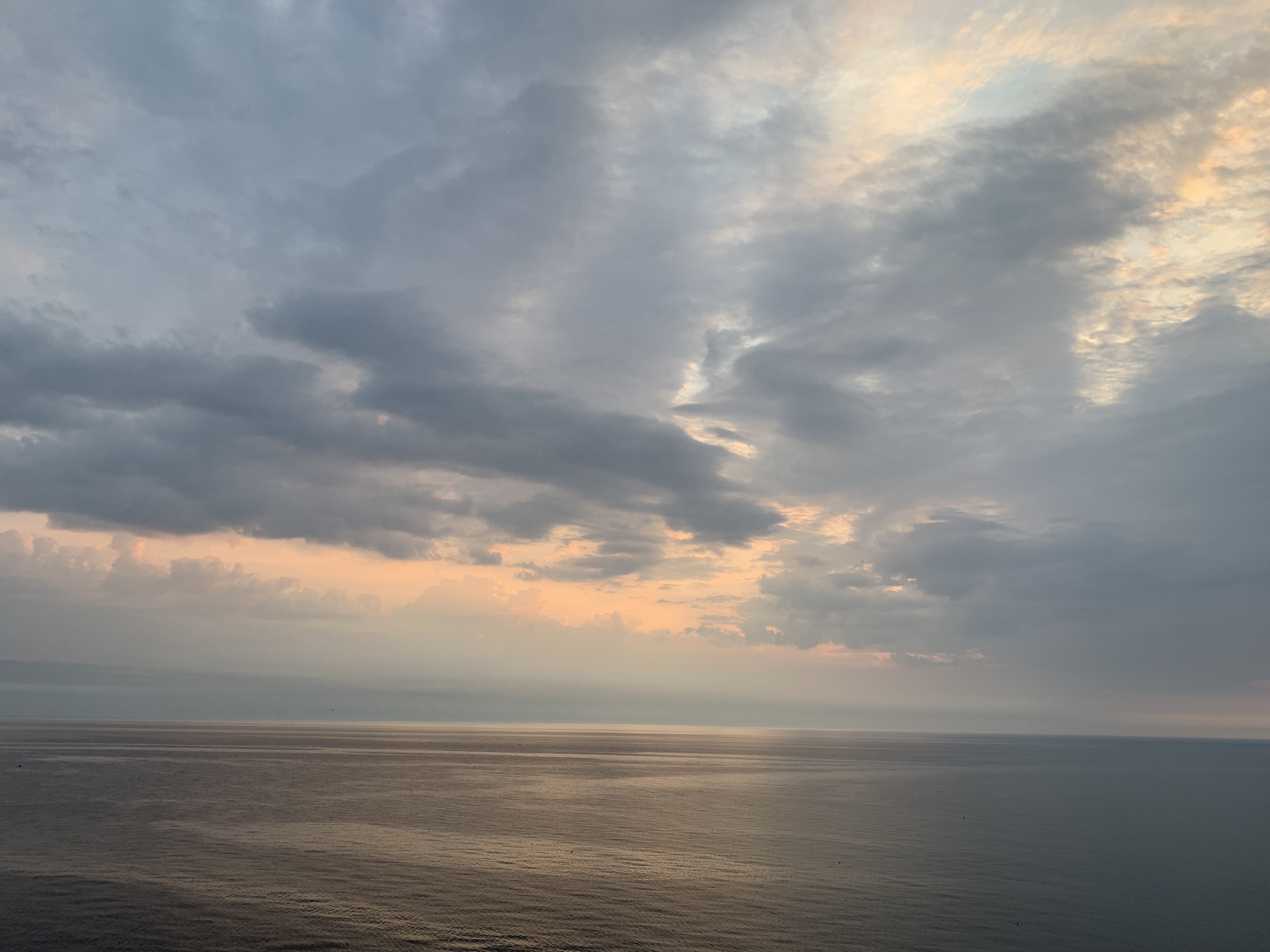
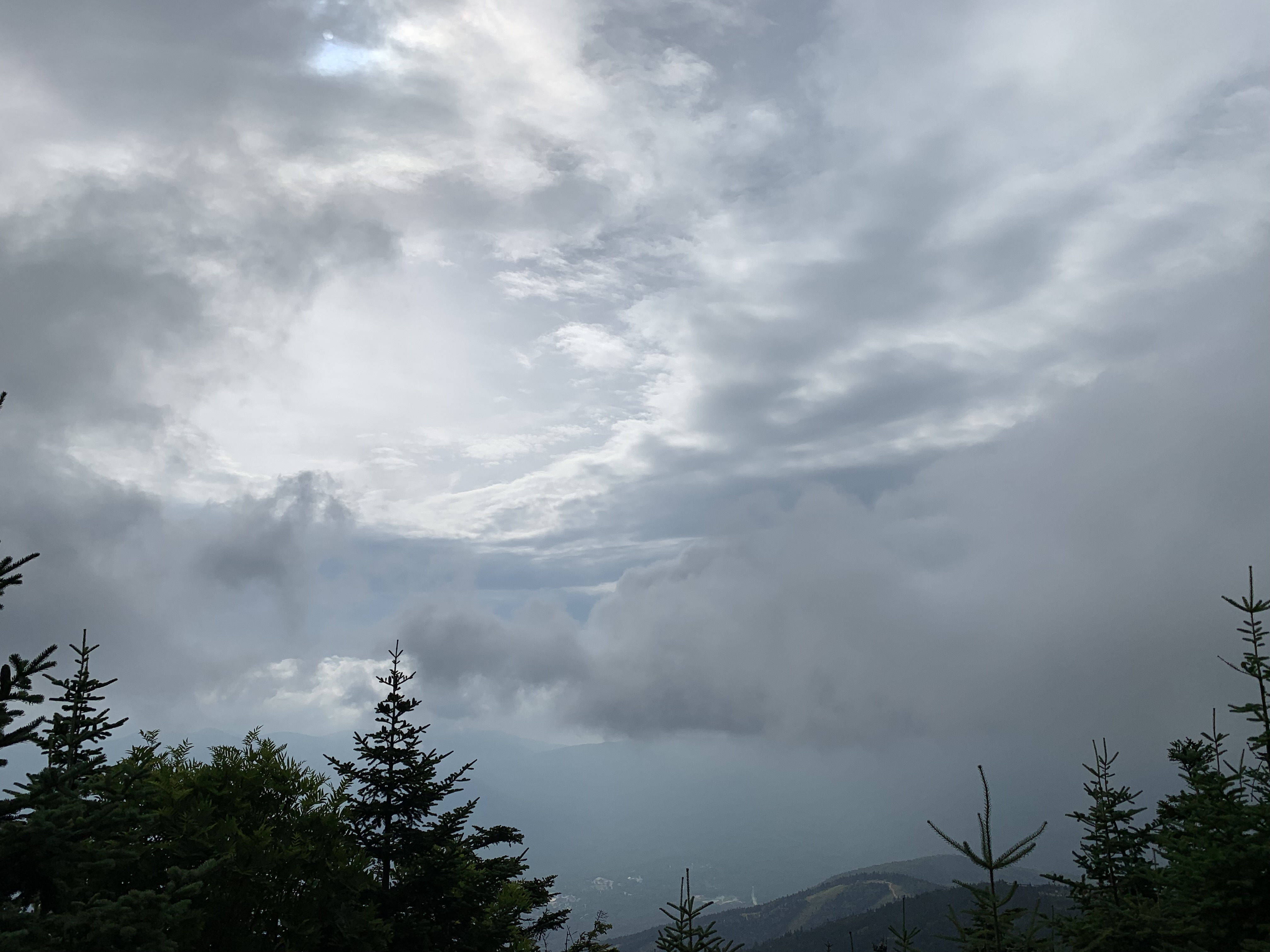
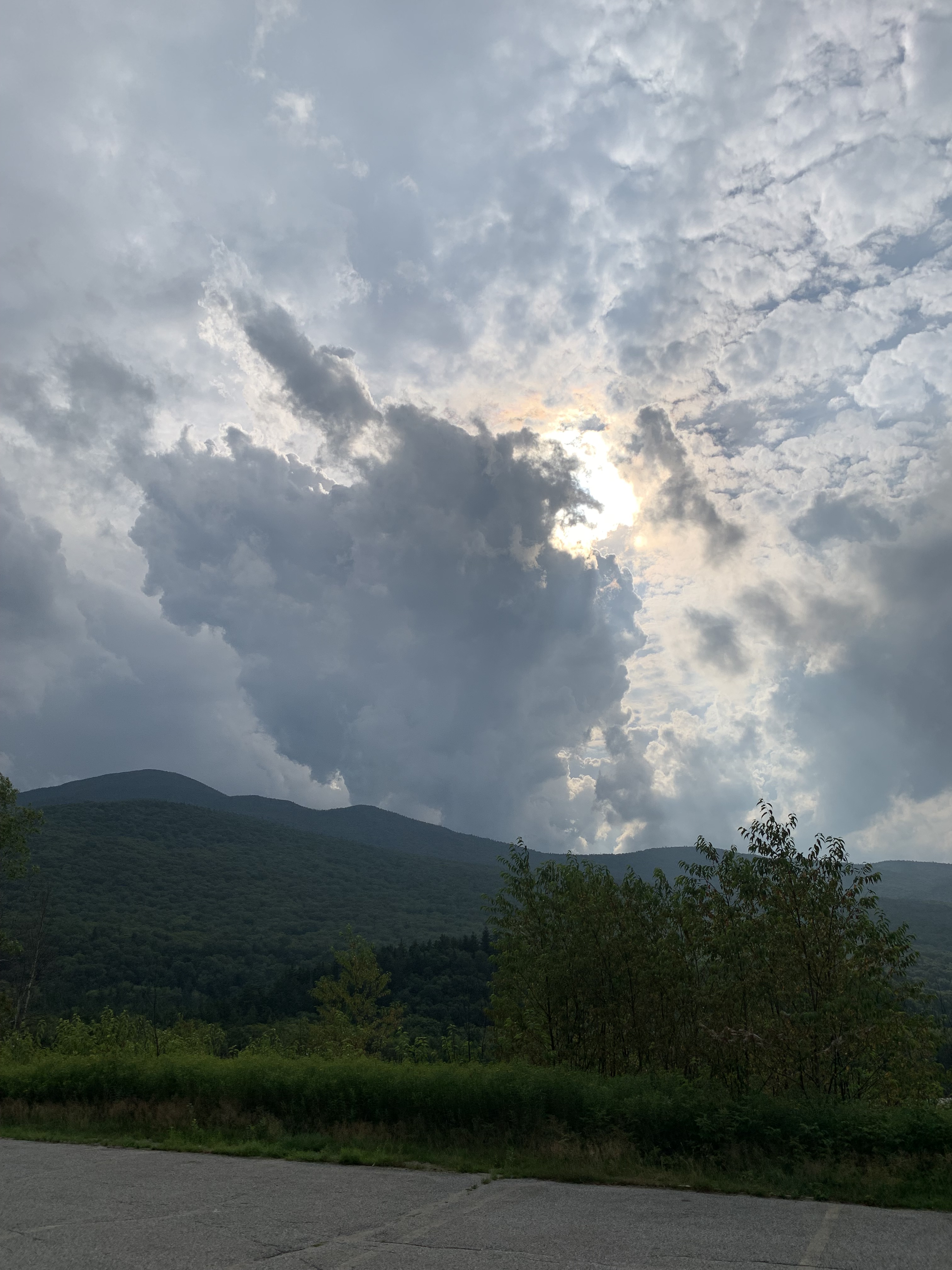
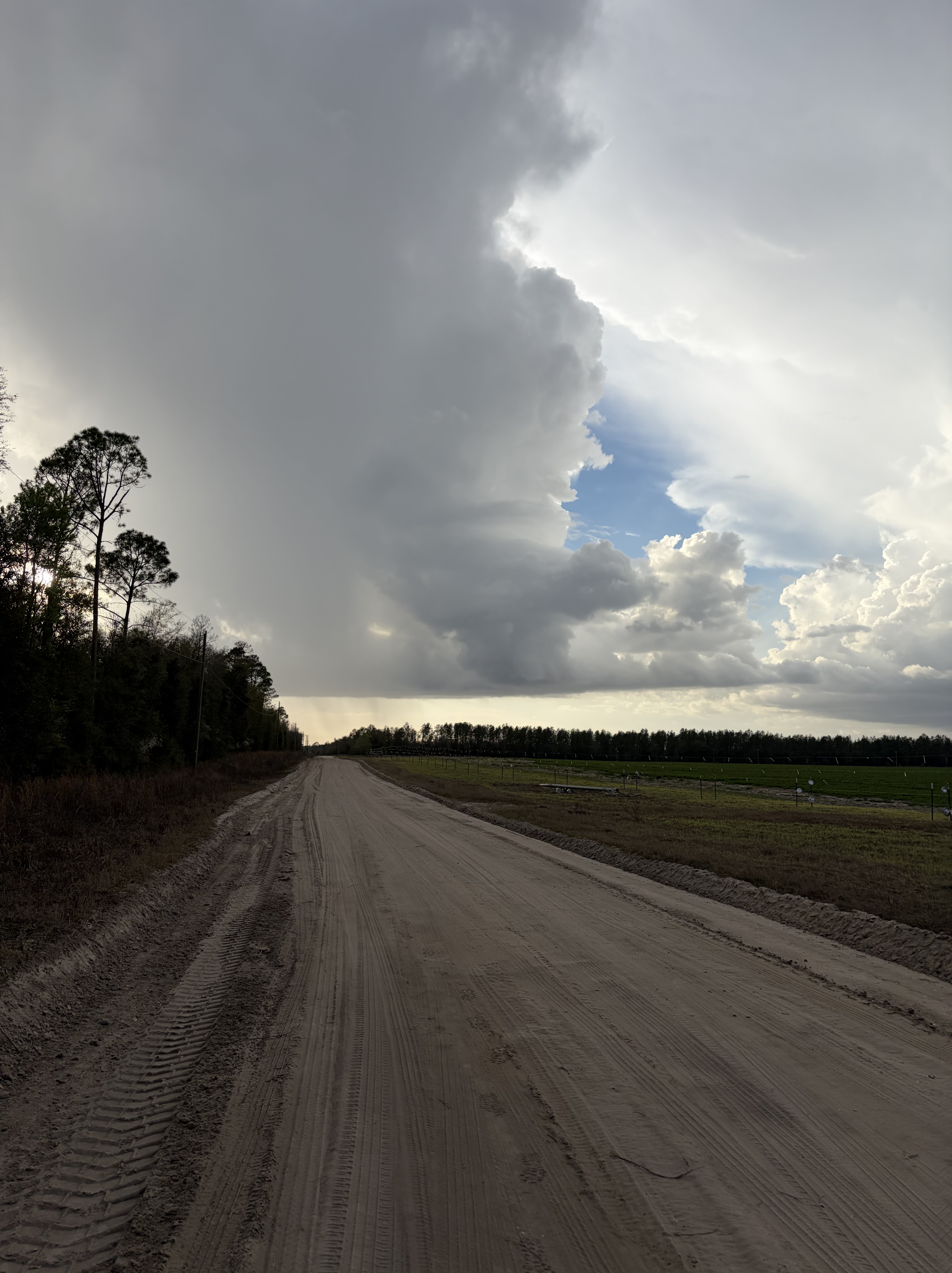
Thunder that threatens all afternoon produces no rain, only a beautiful distant bow.
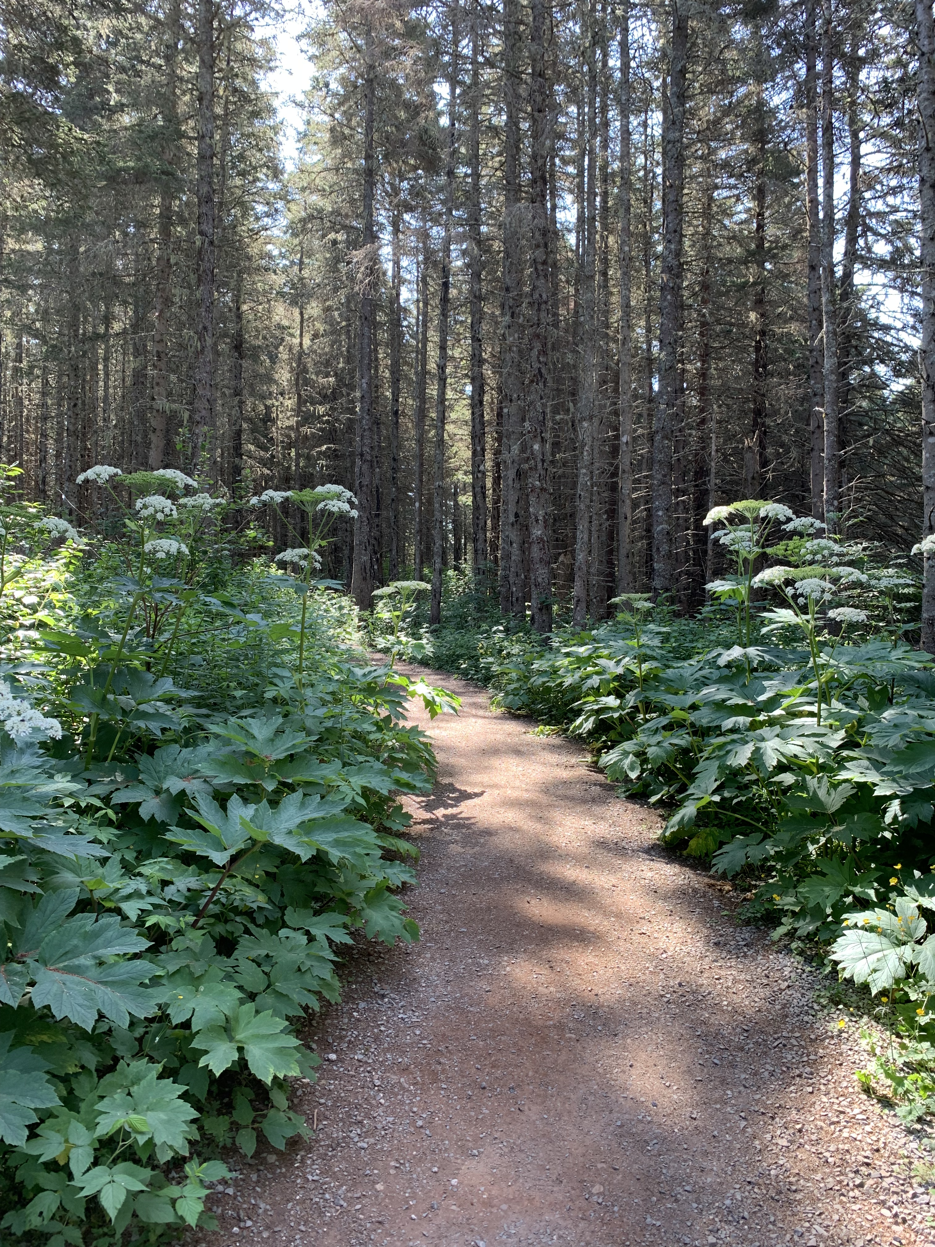
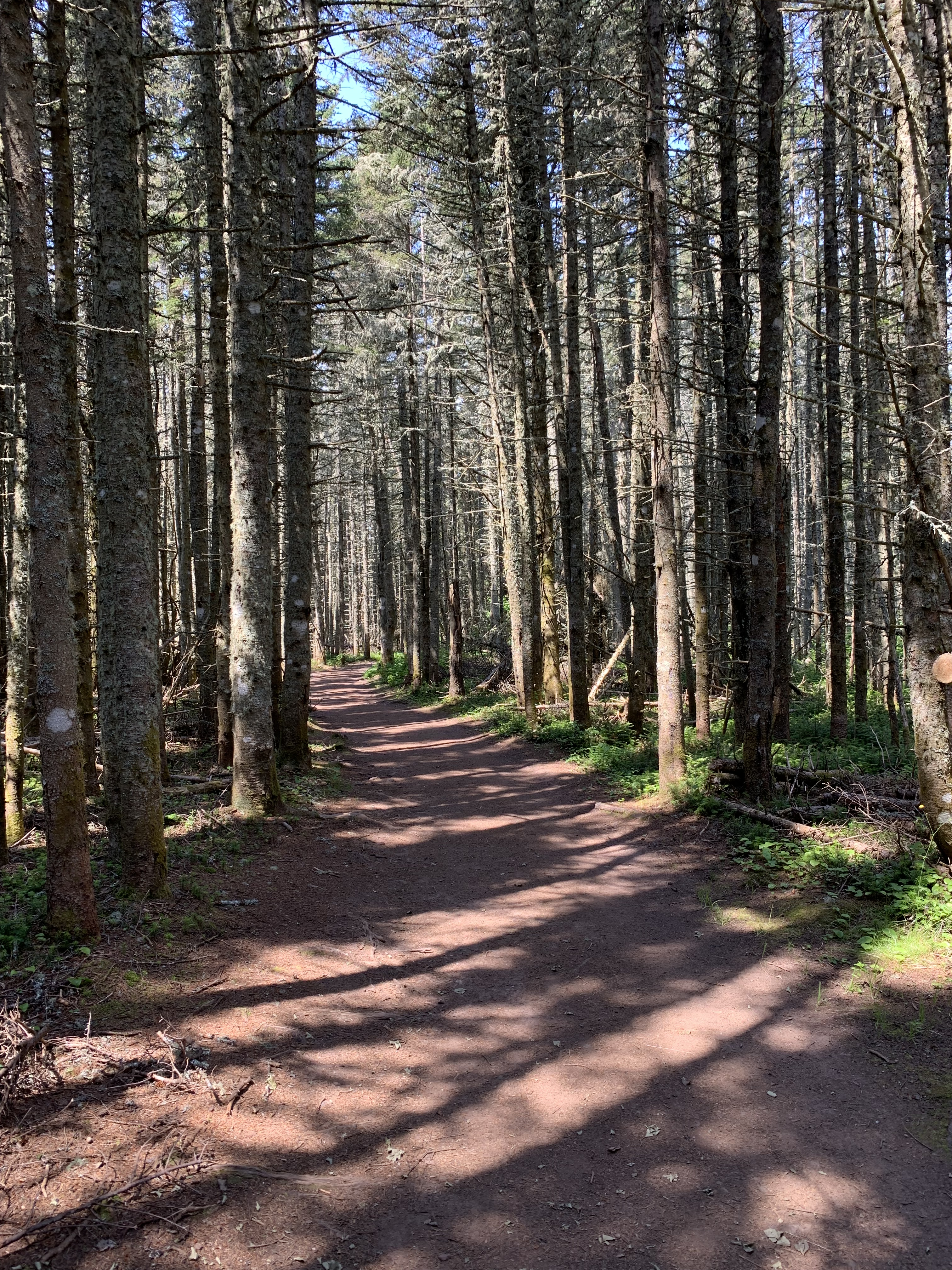
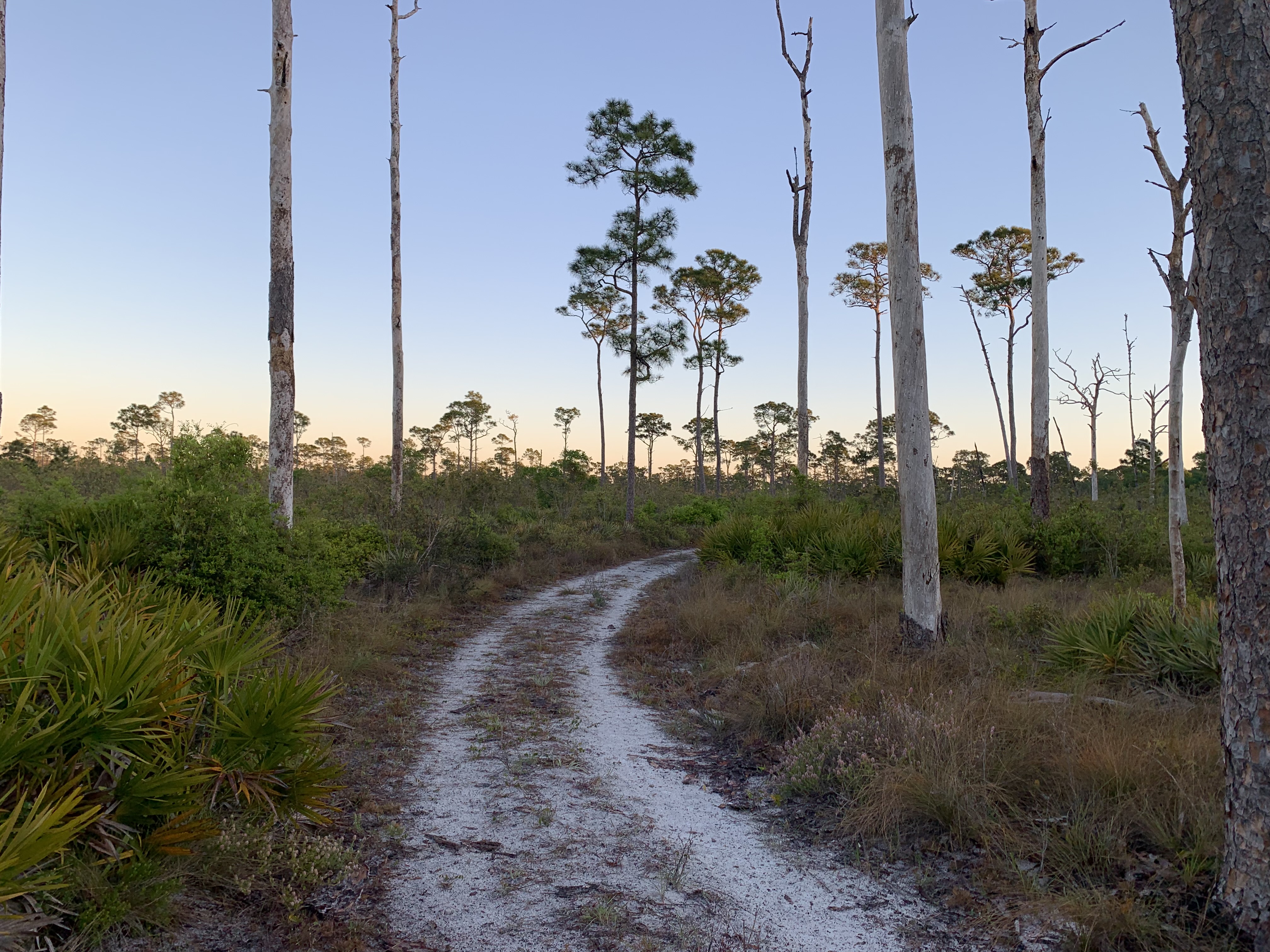
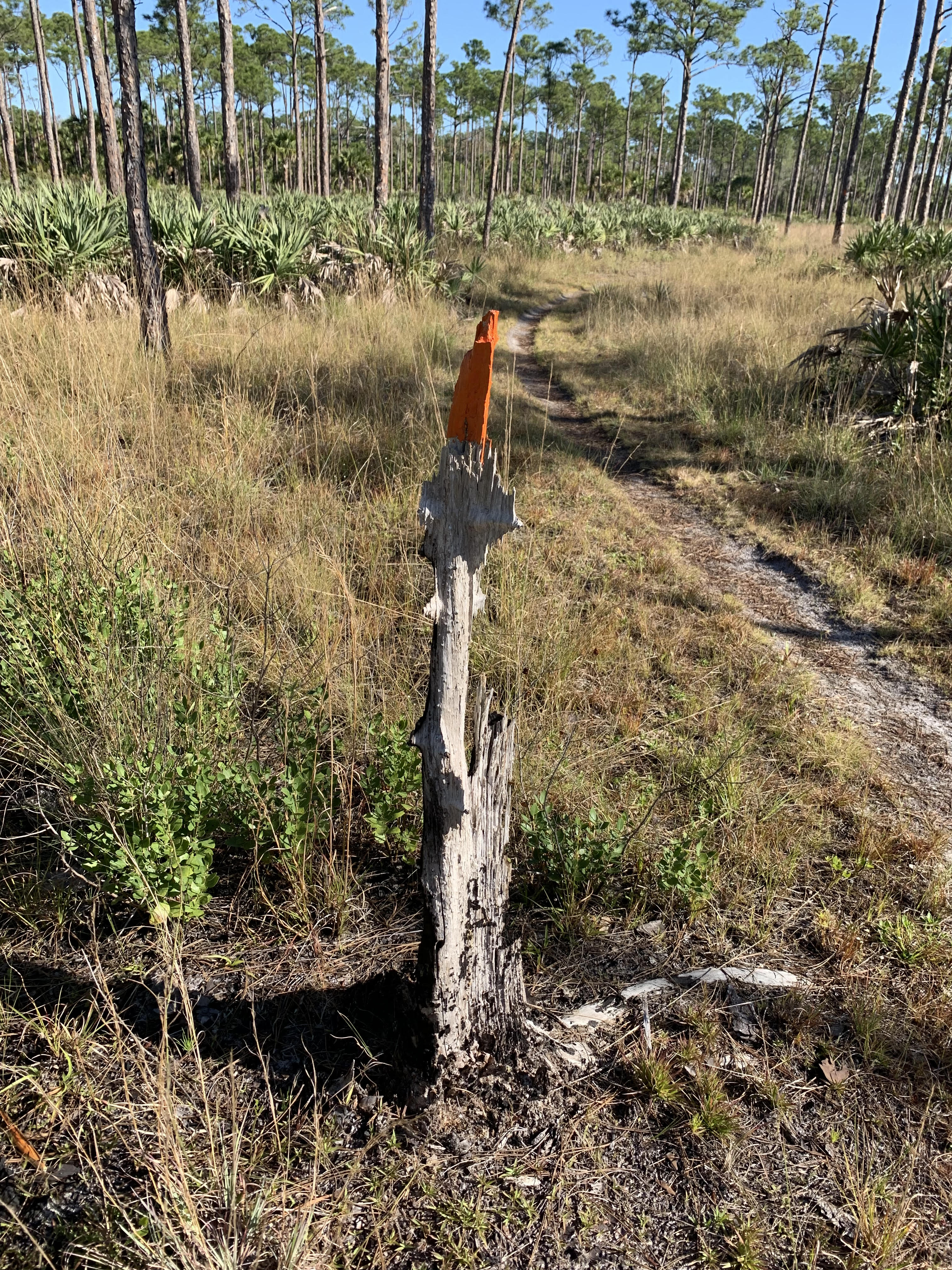
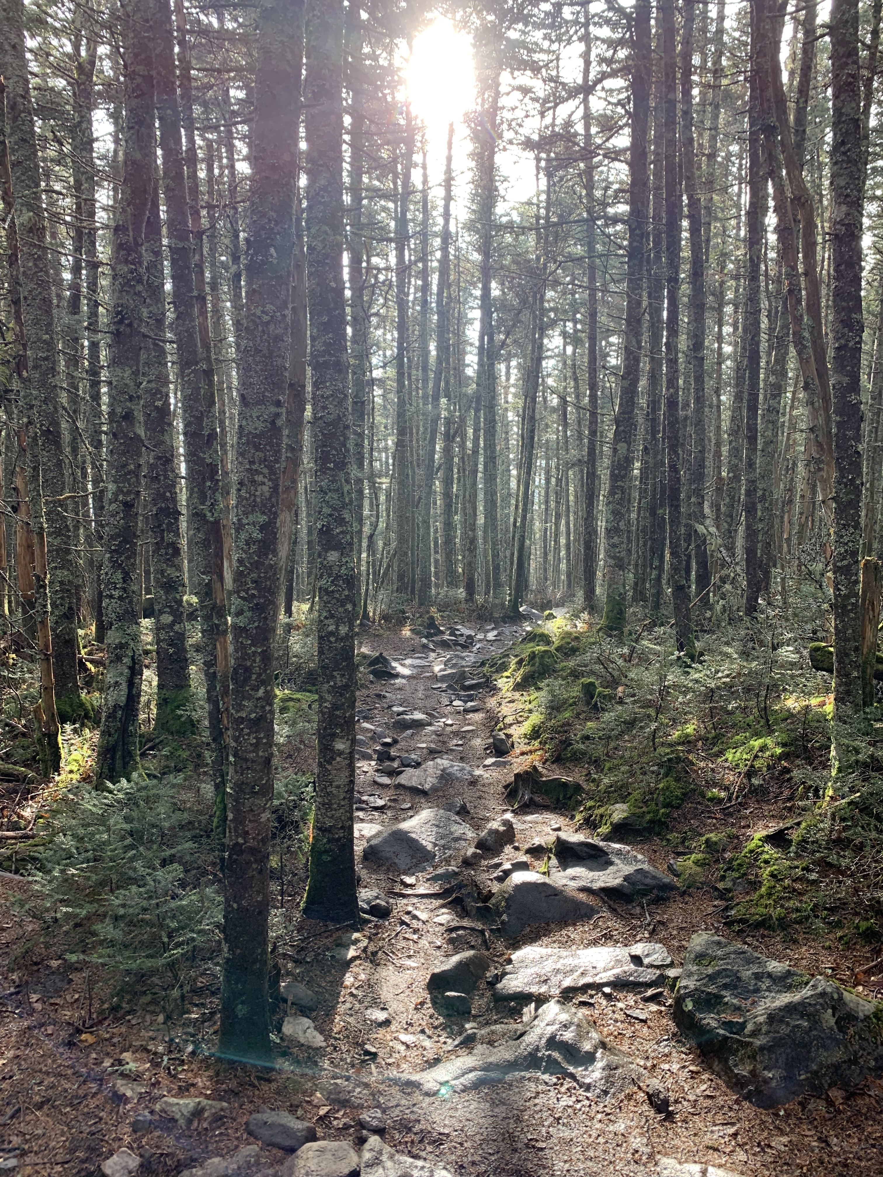
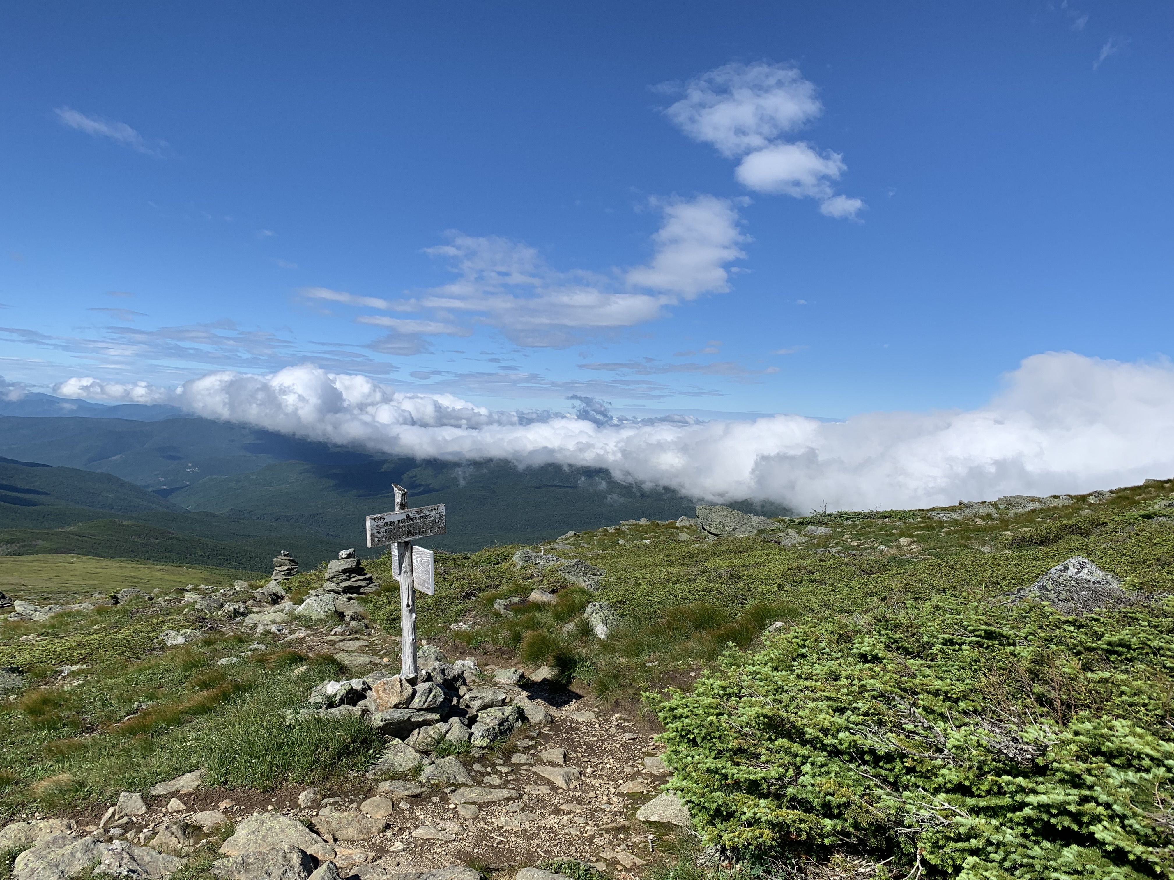
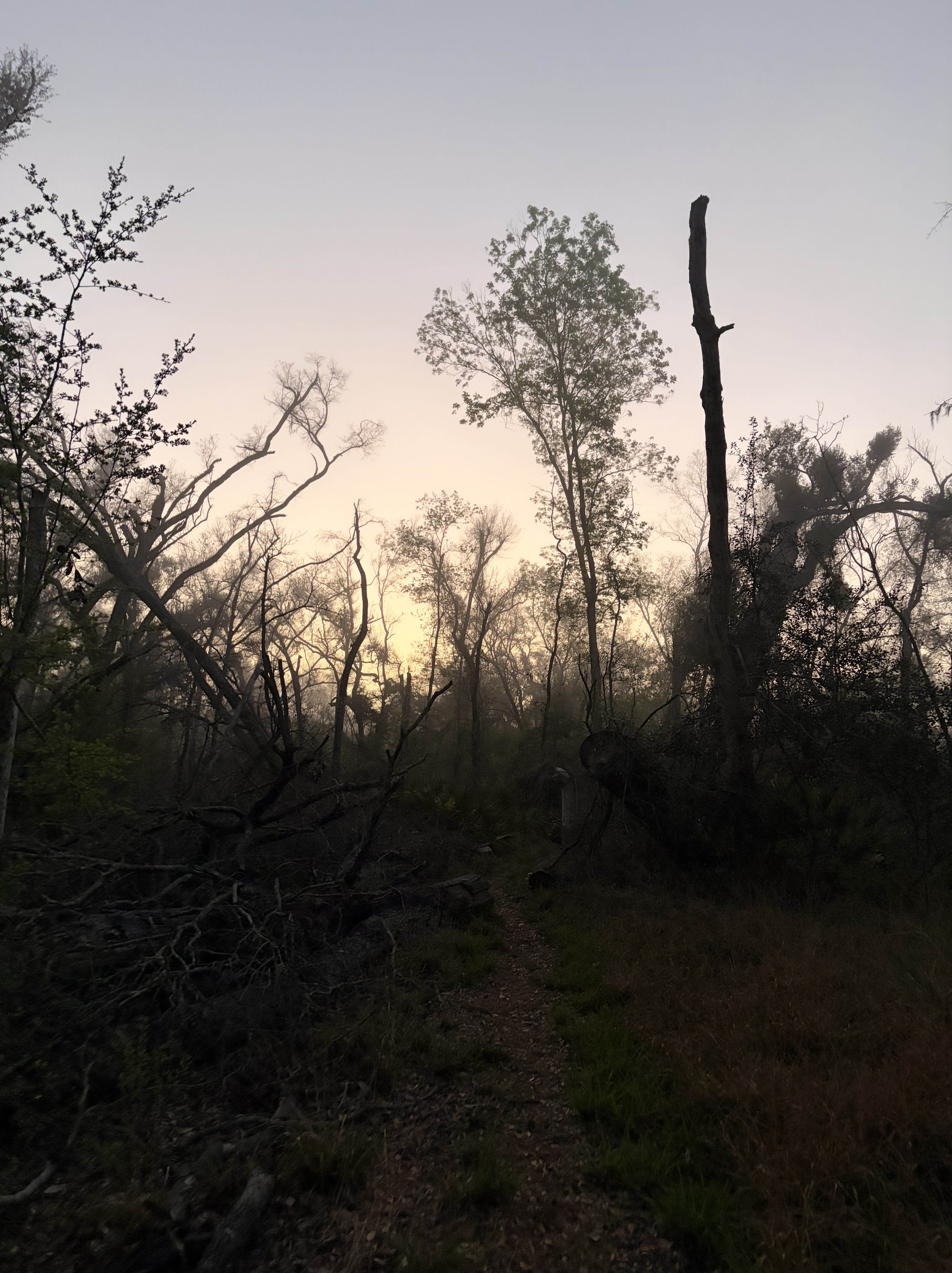
I’m ready for the woods.
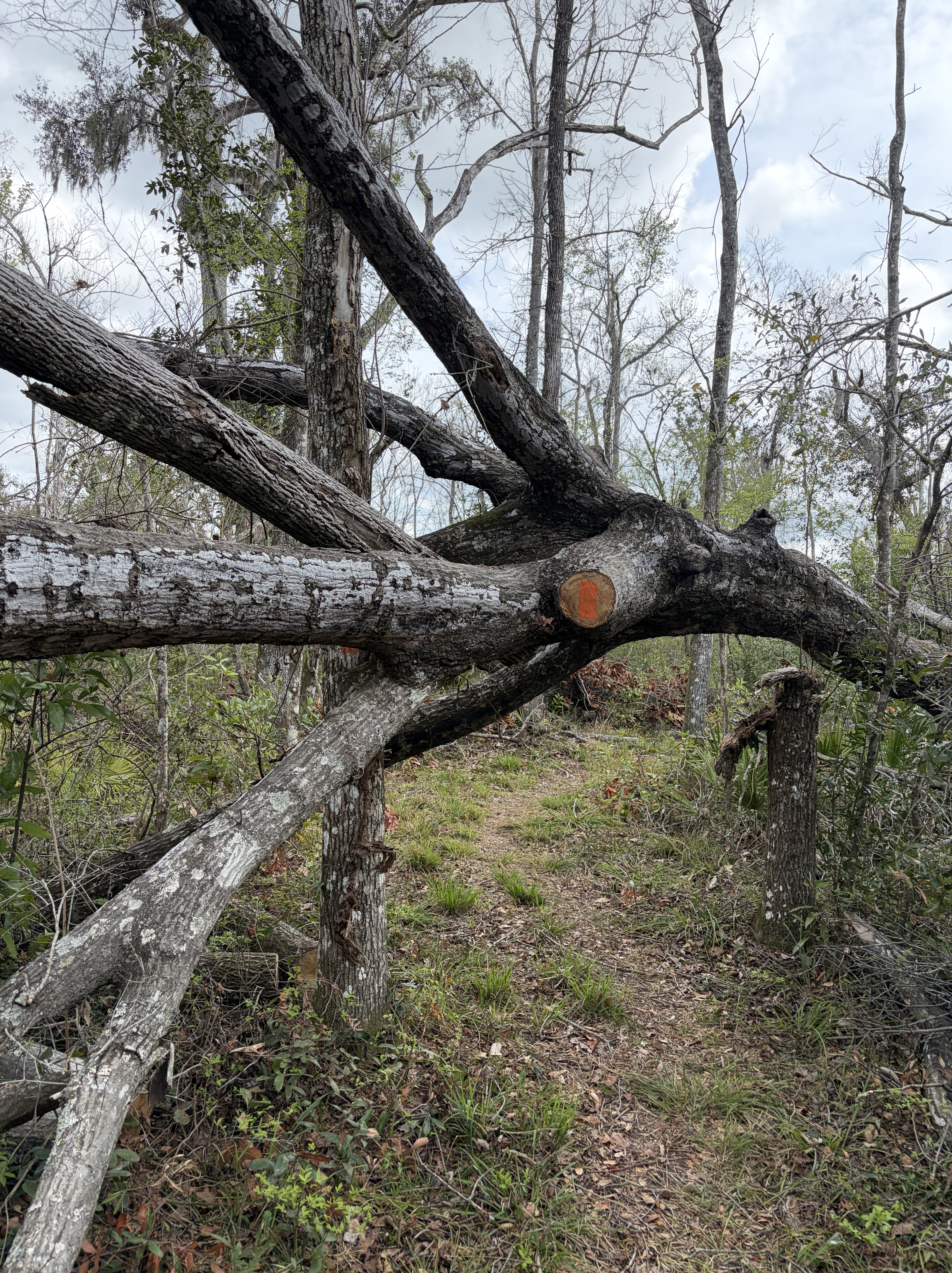
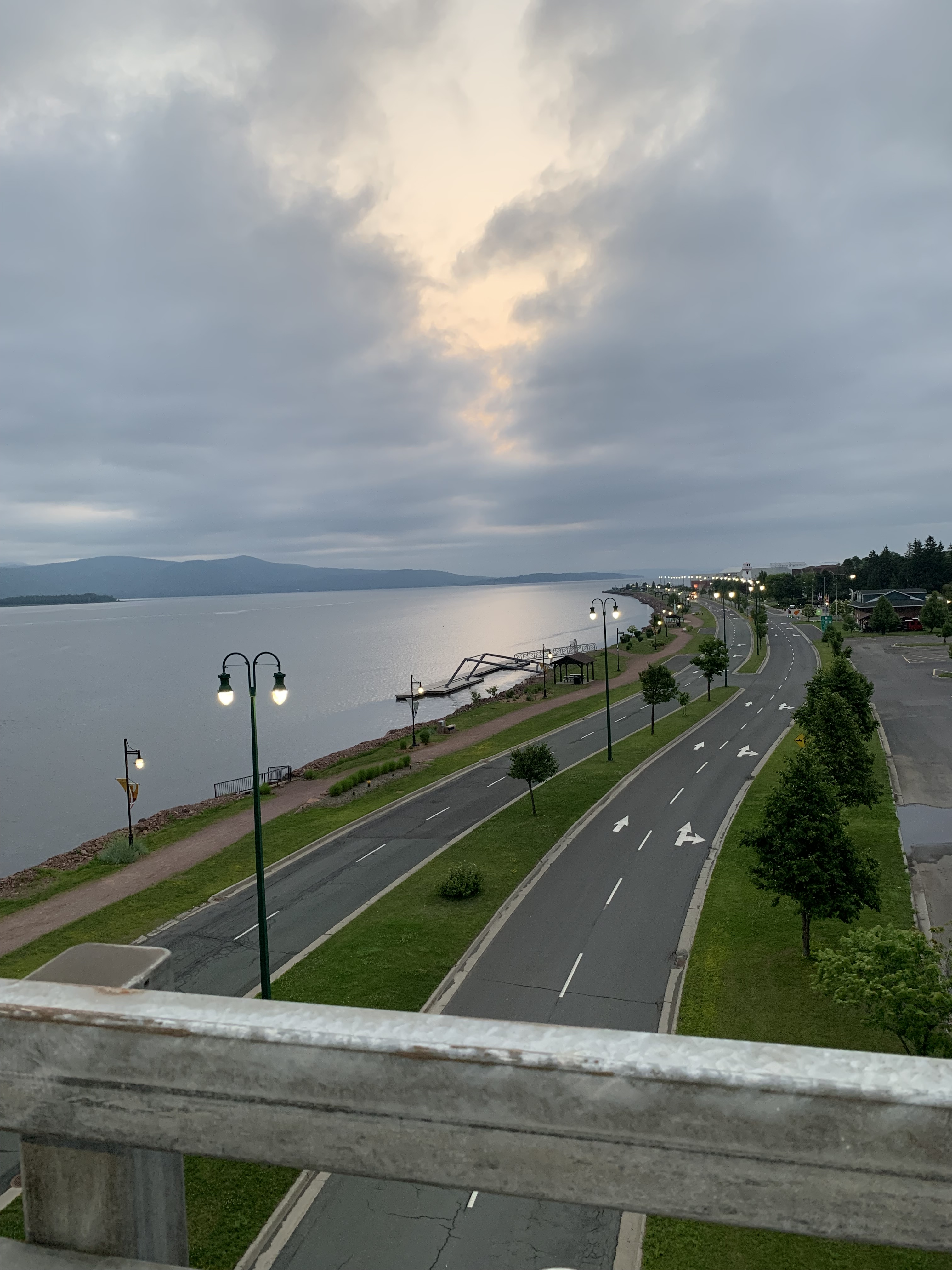
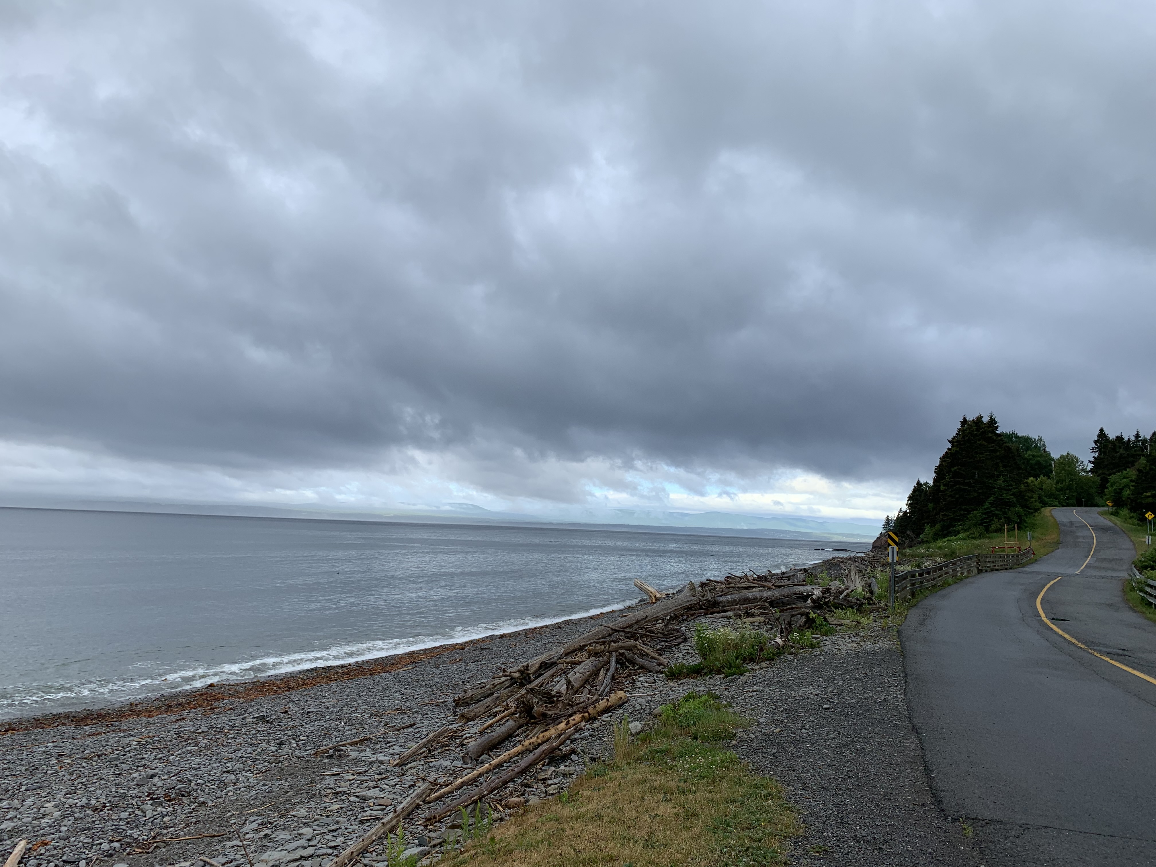
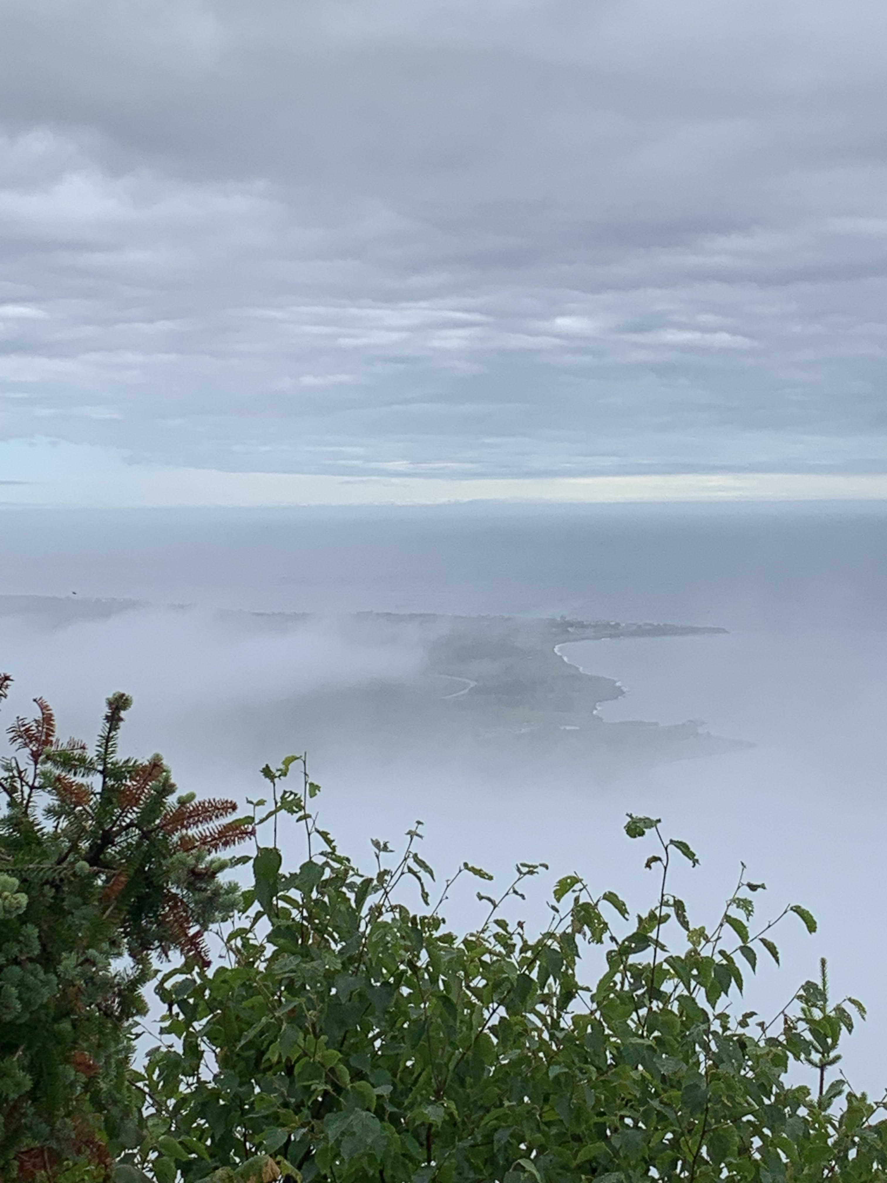
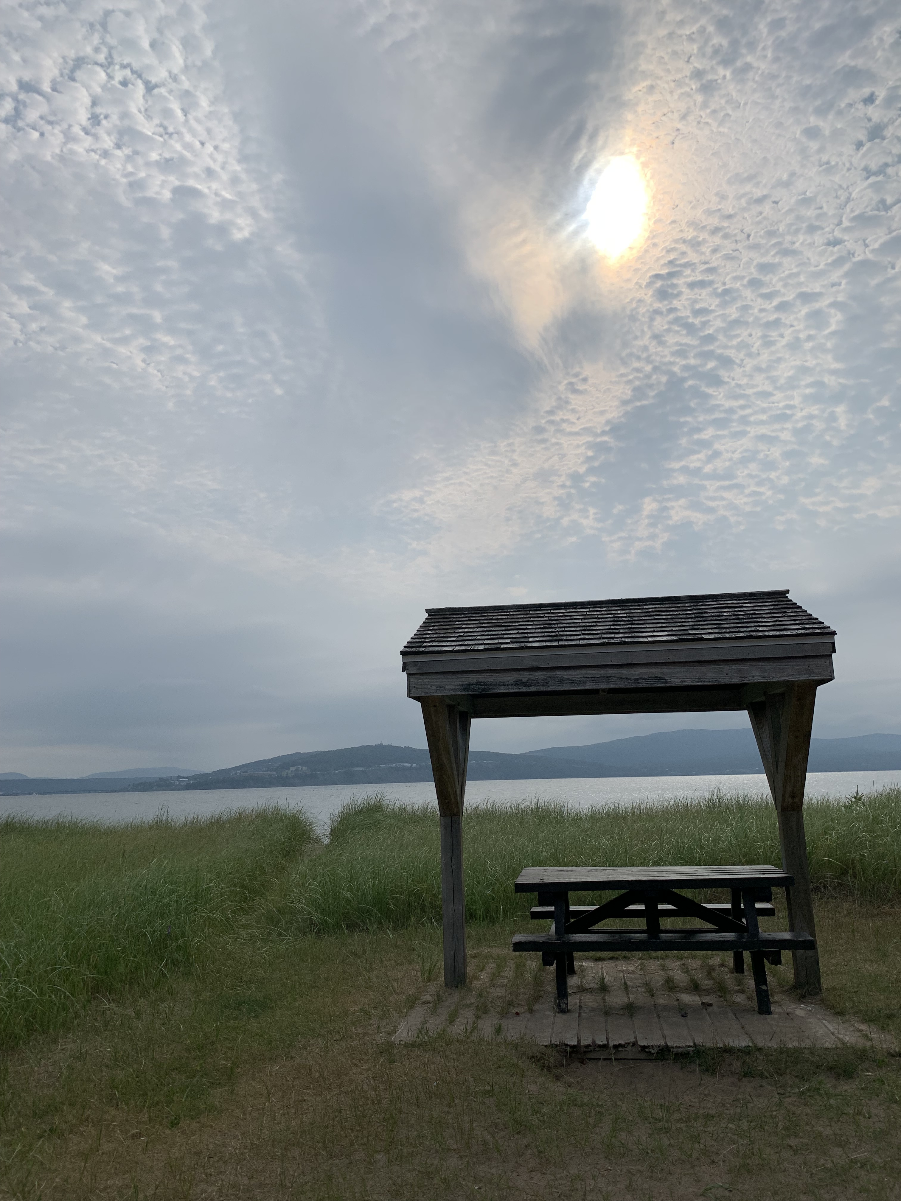
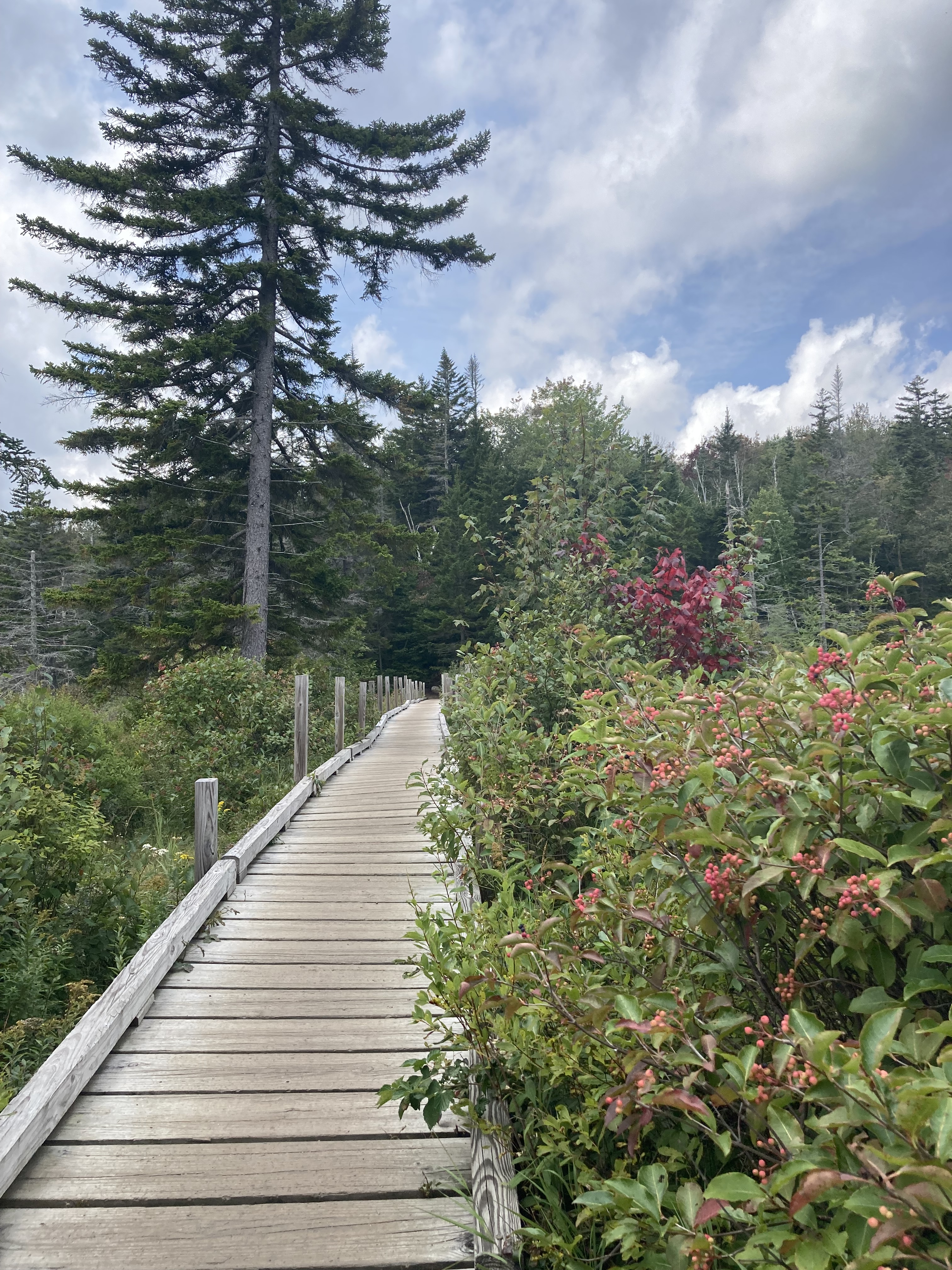
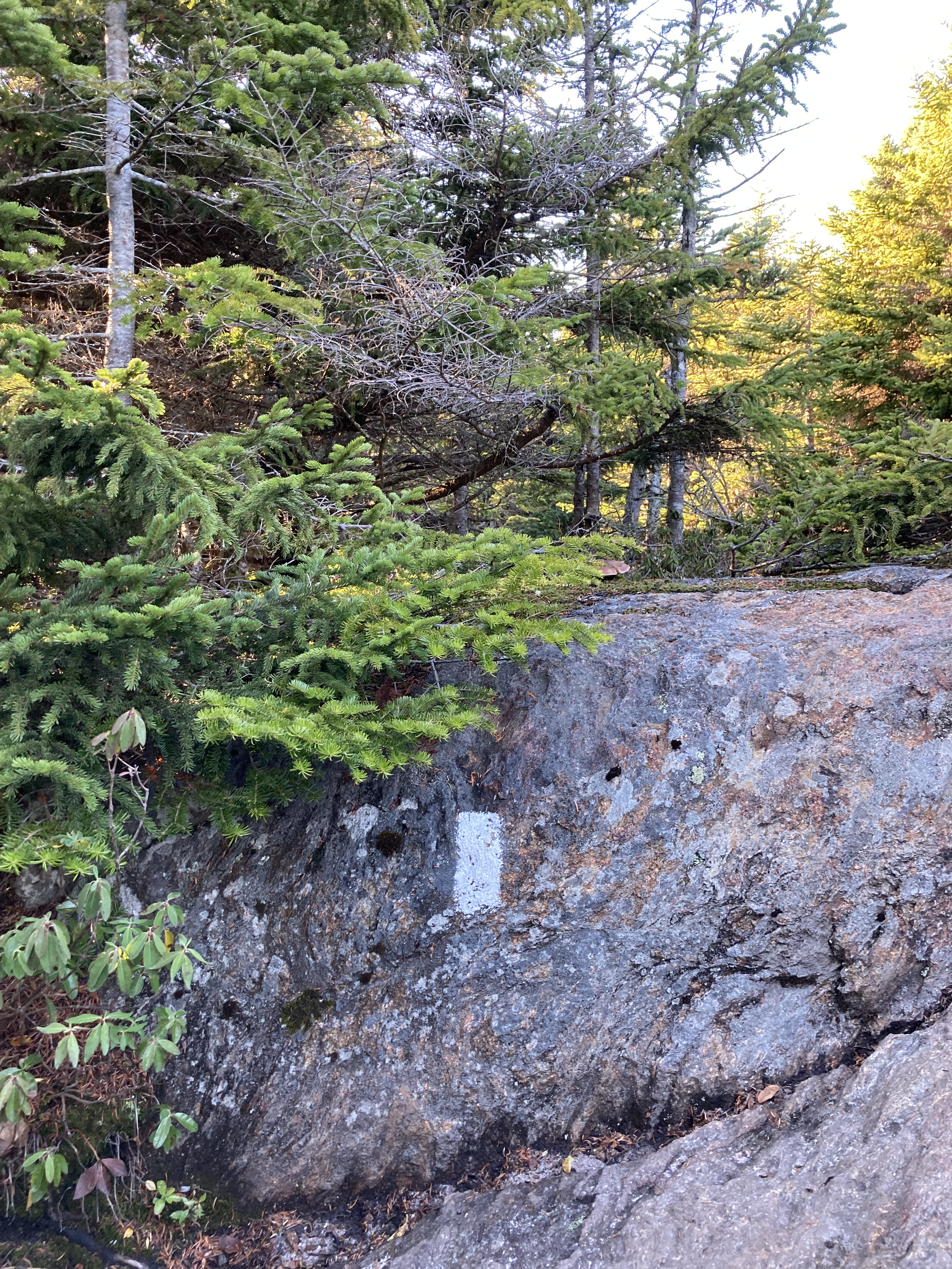
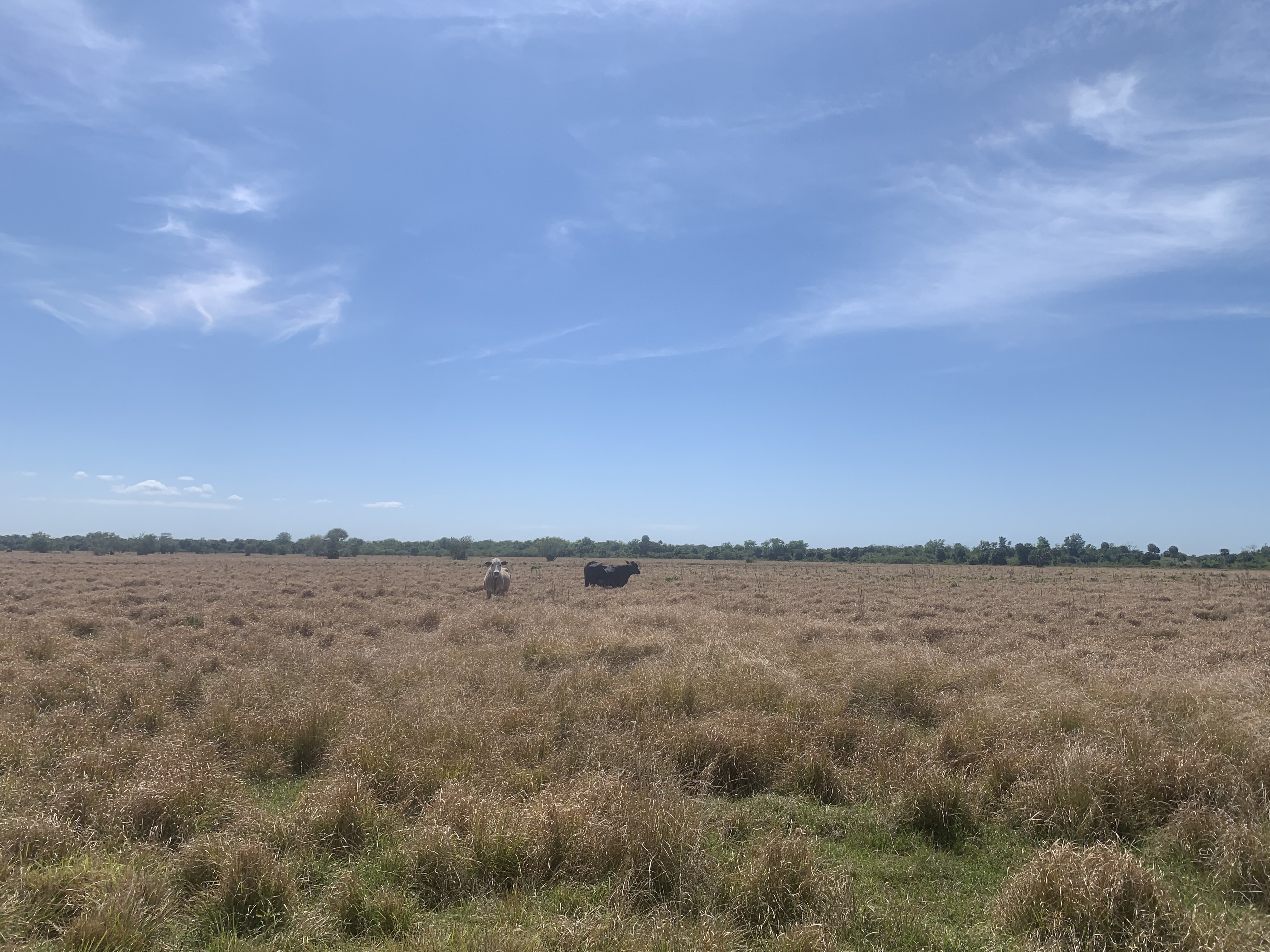
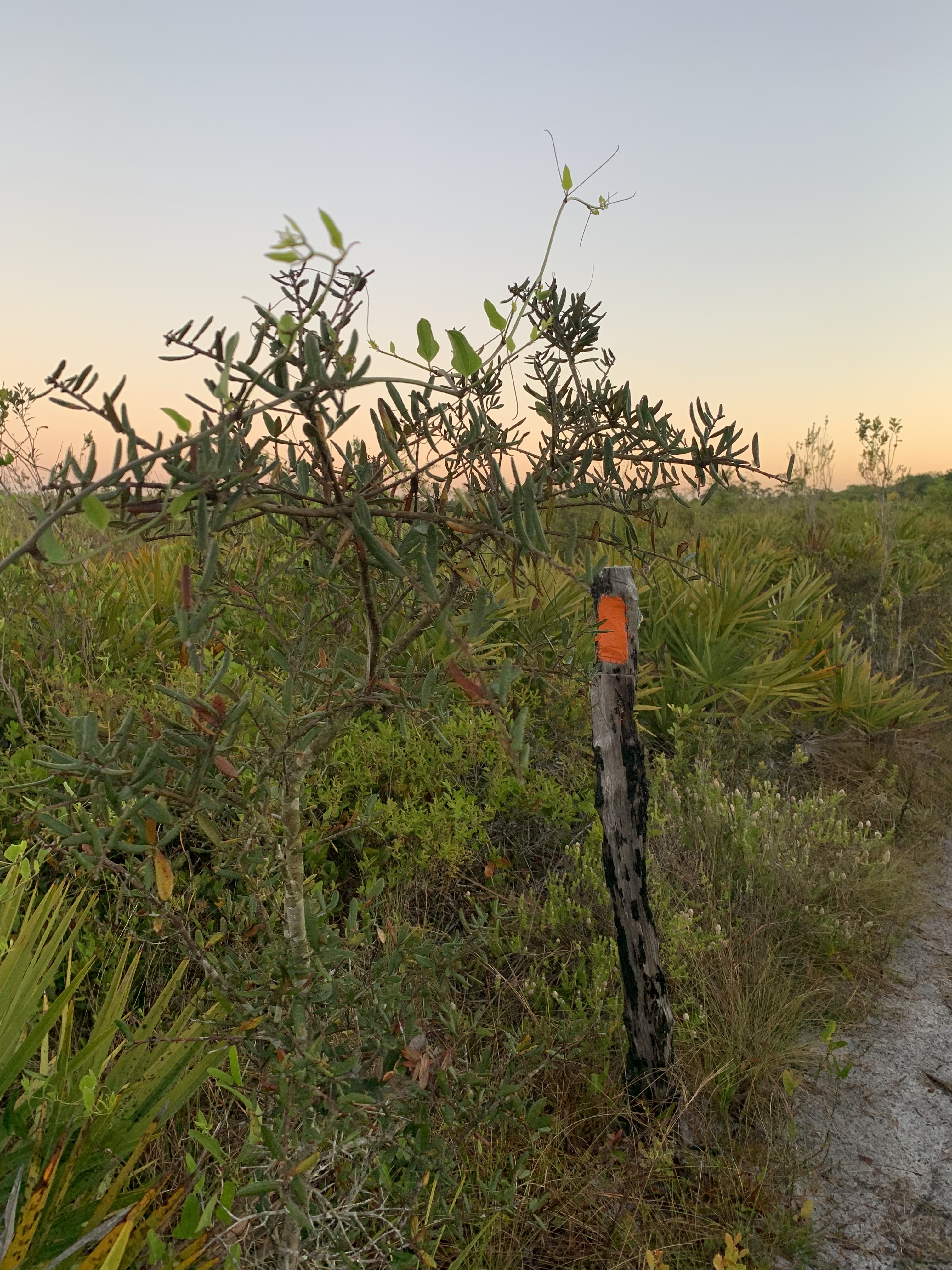
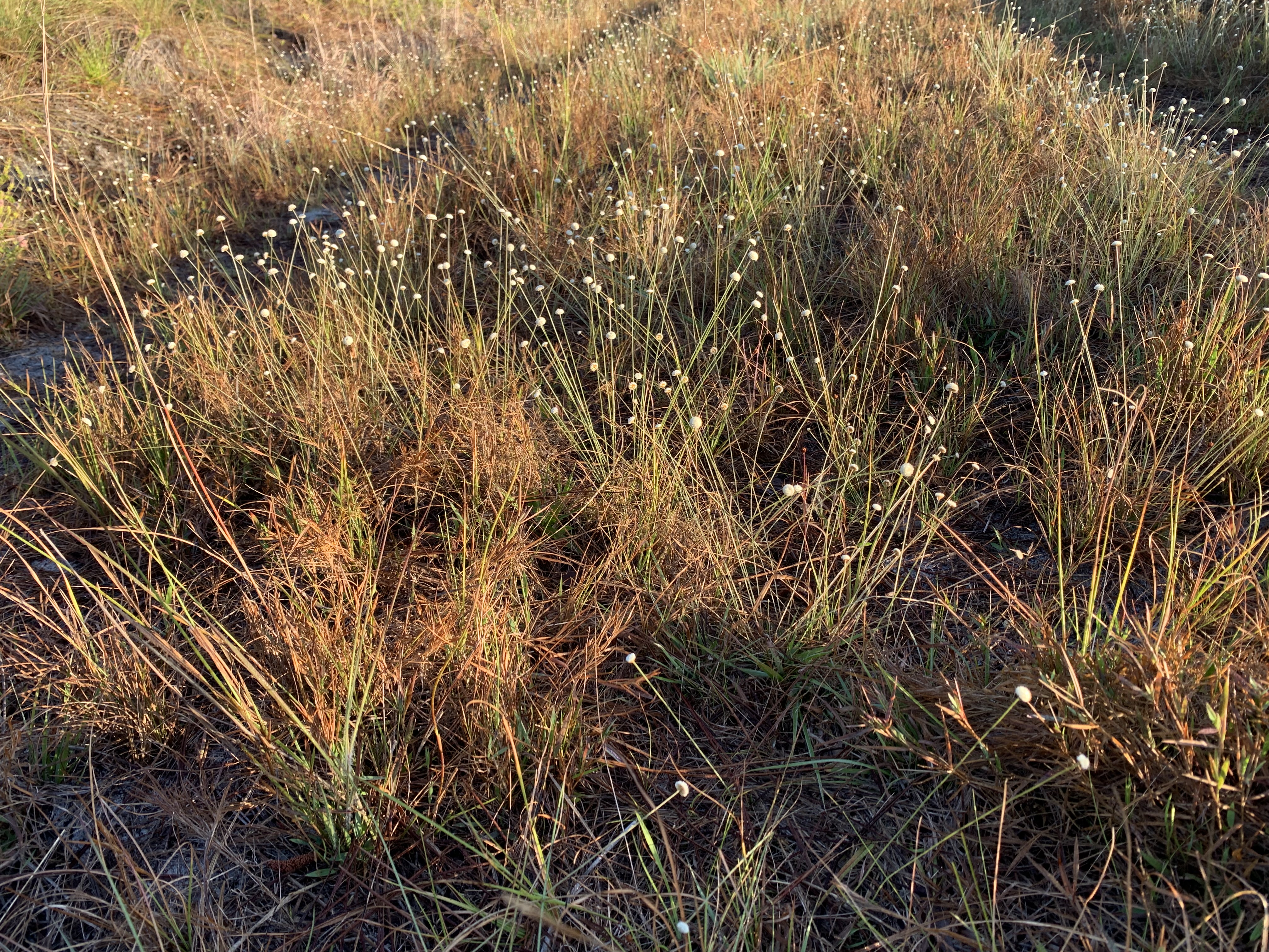
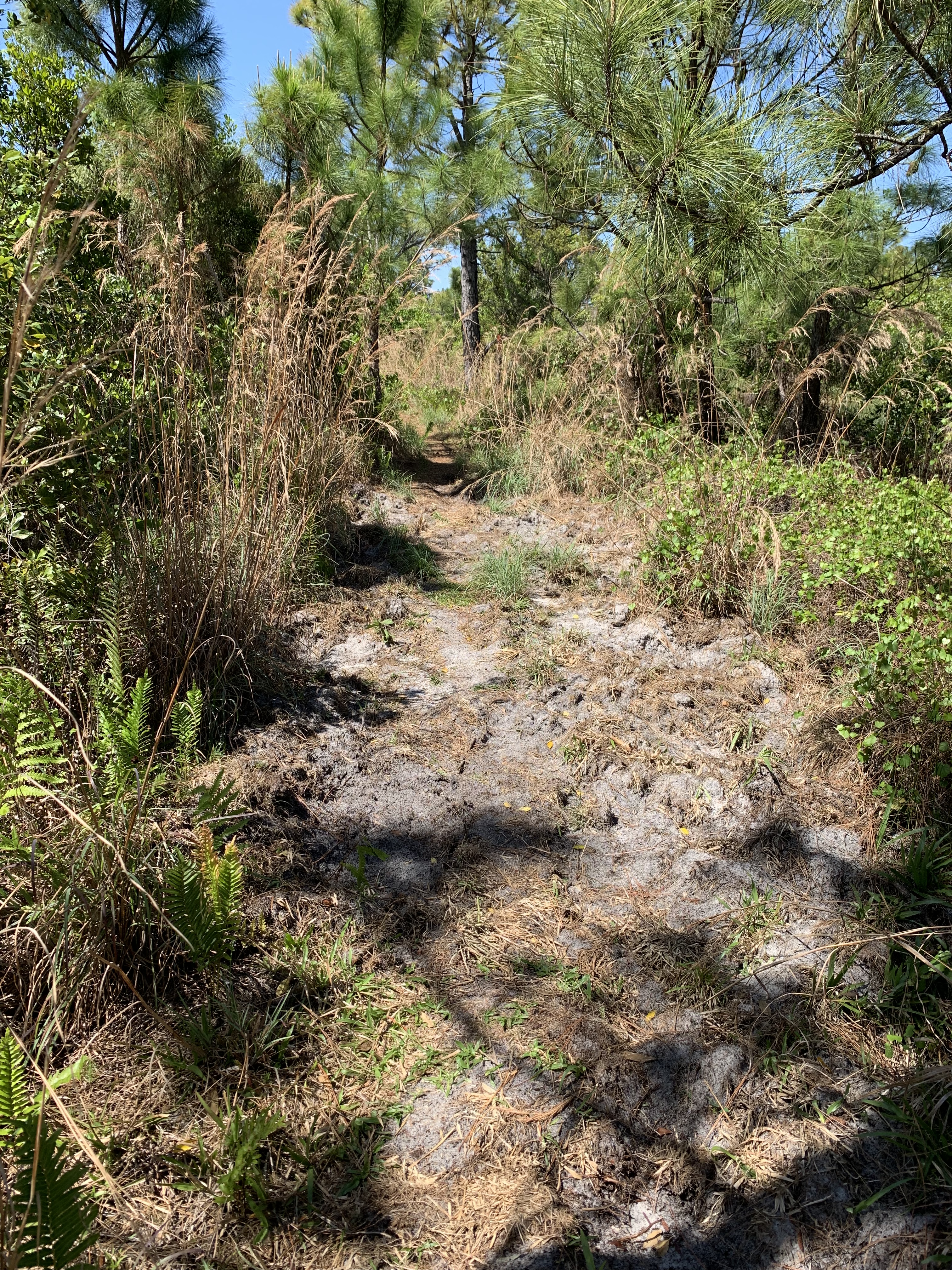
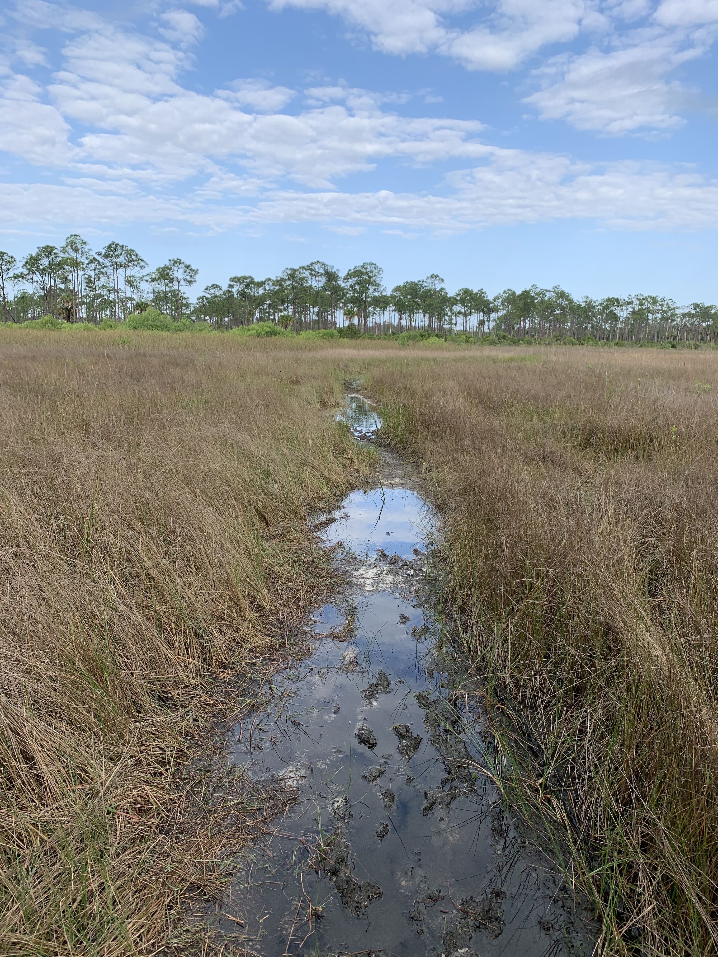
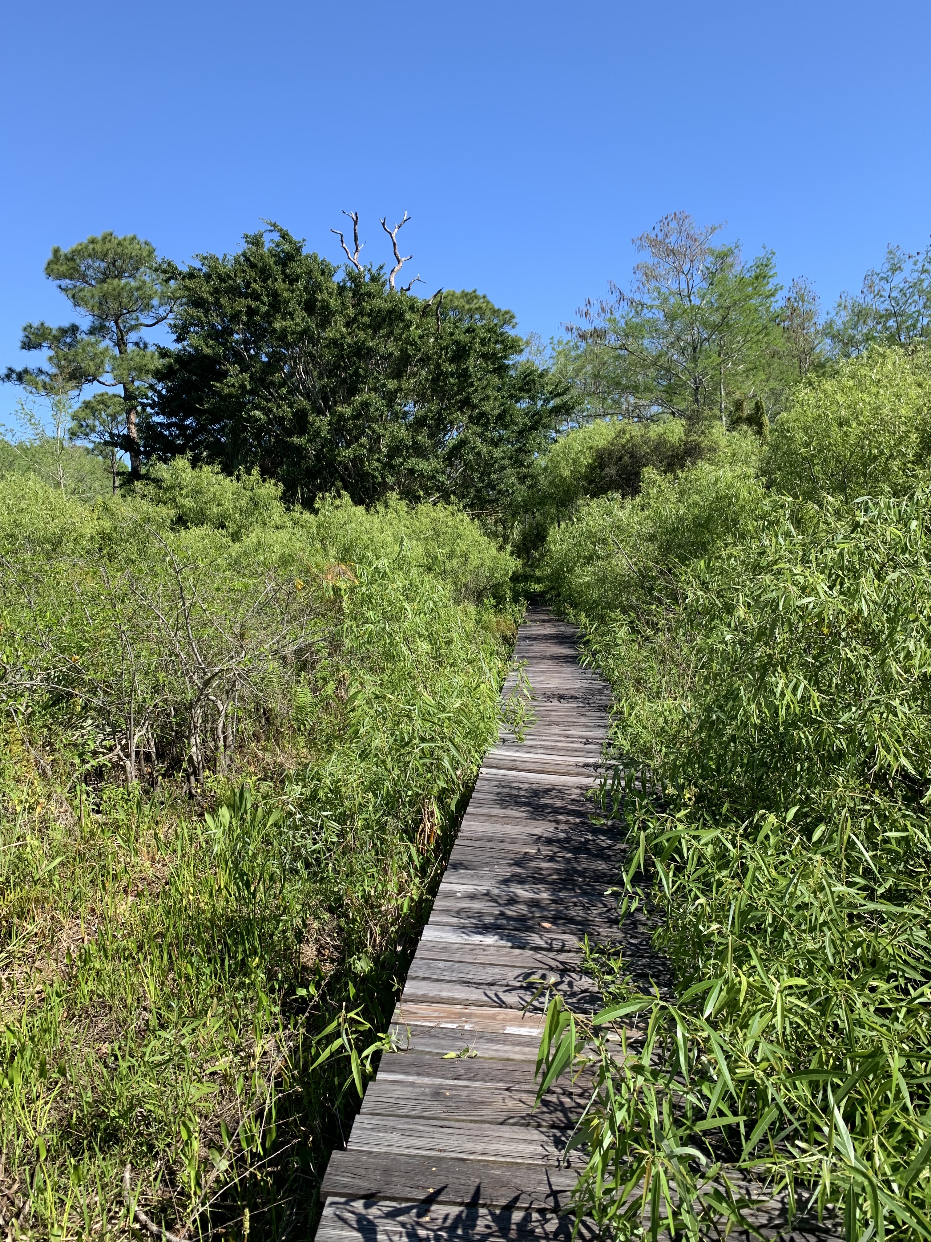
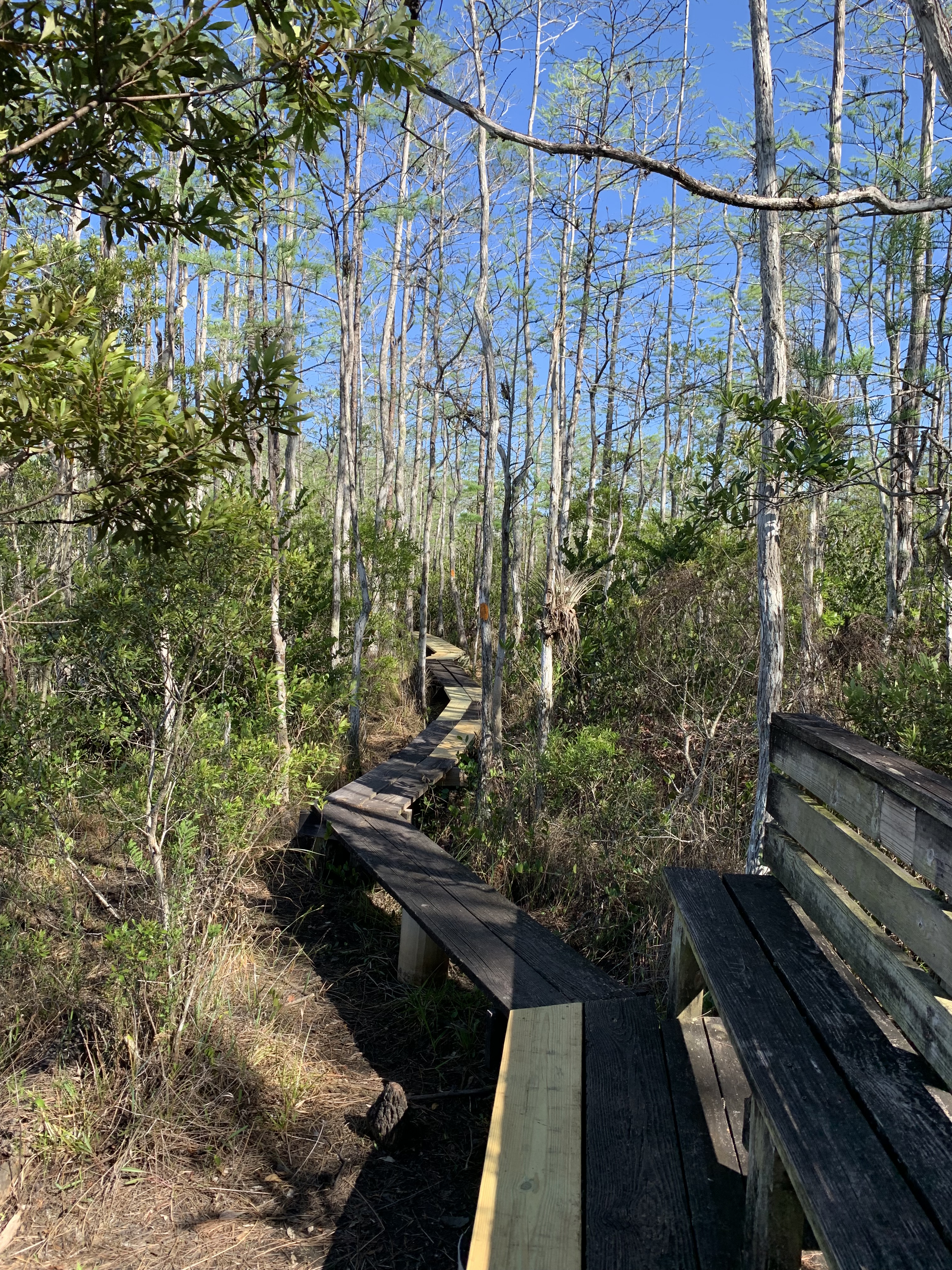
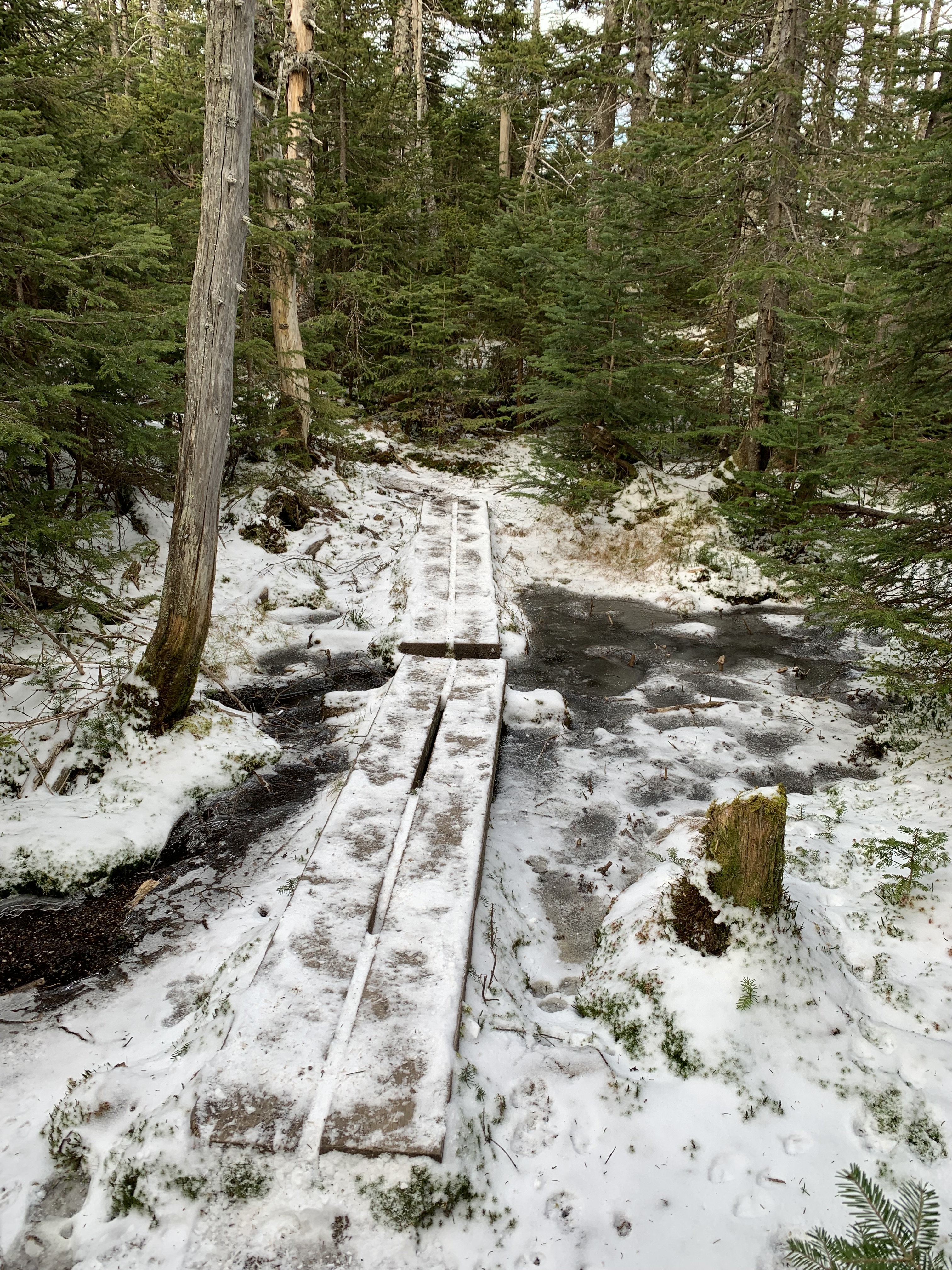
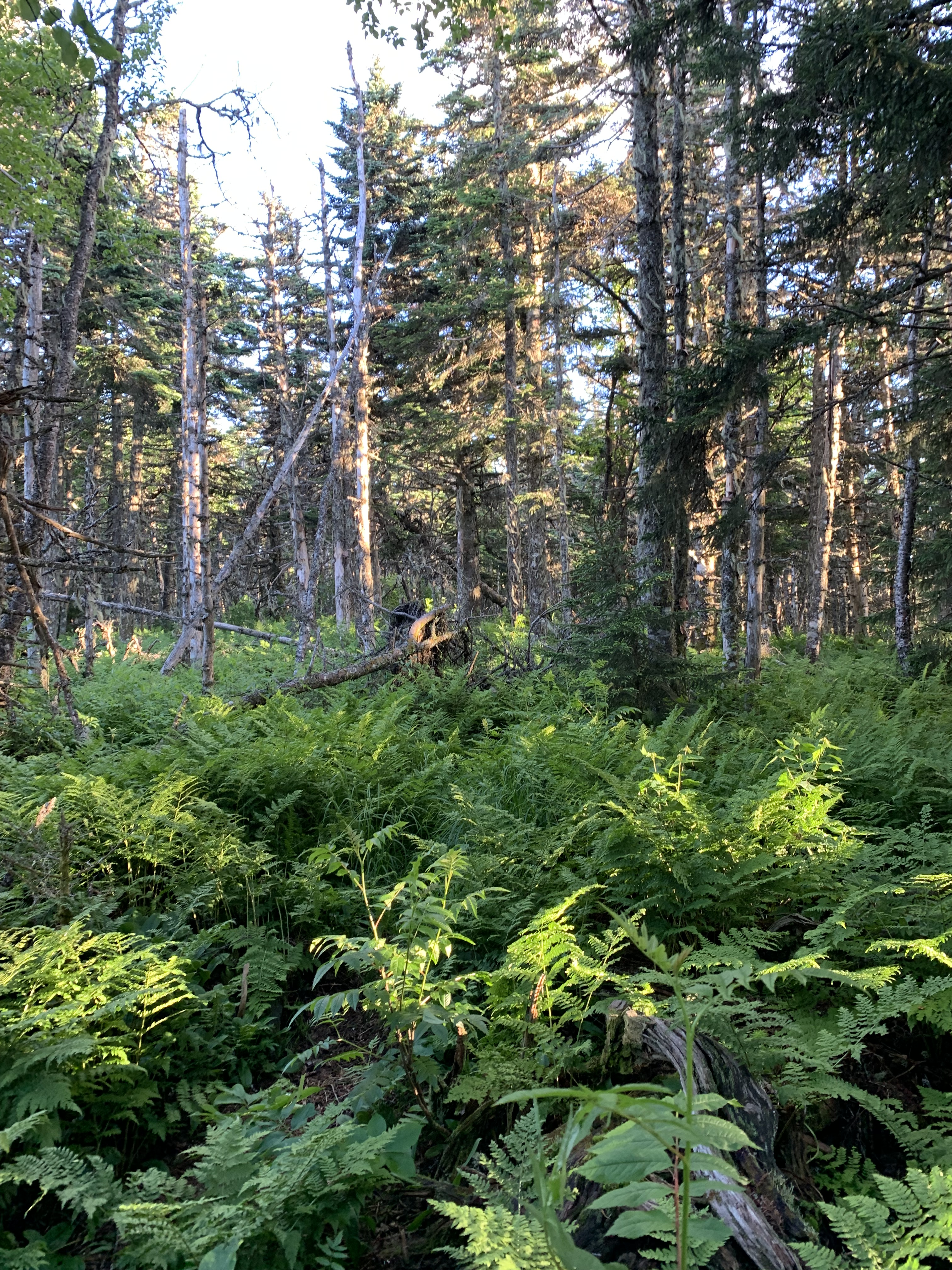
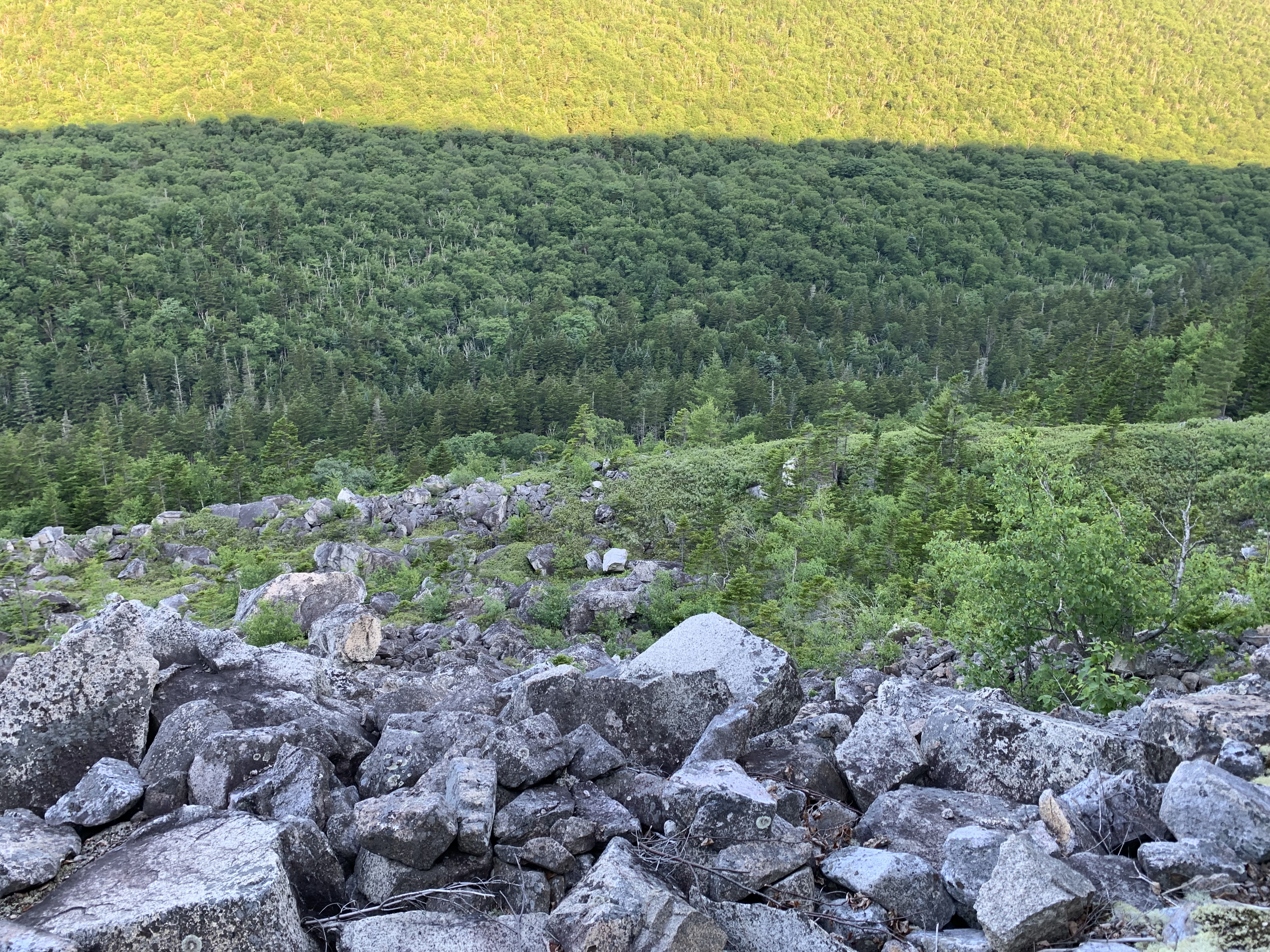
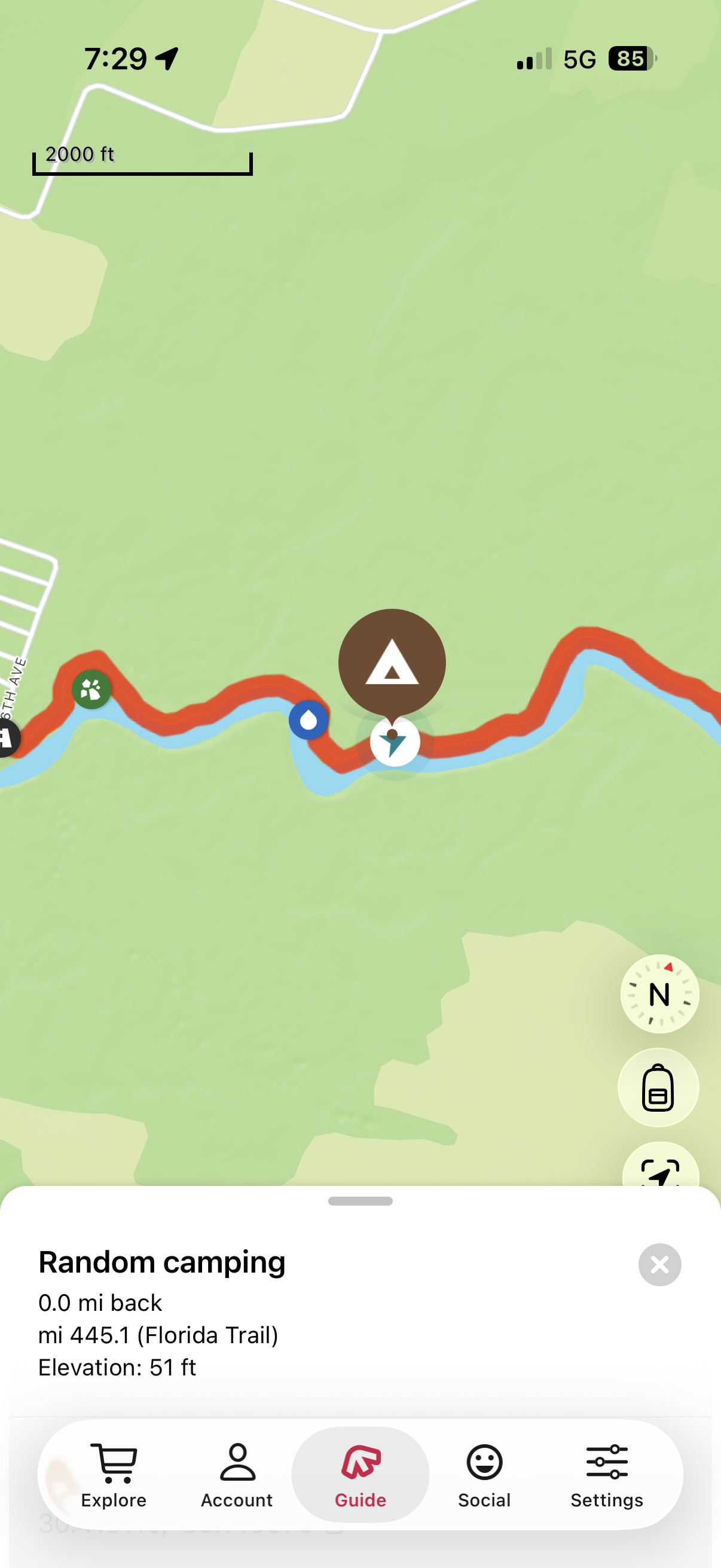
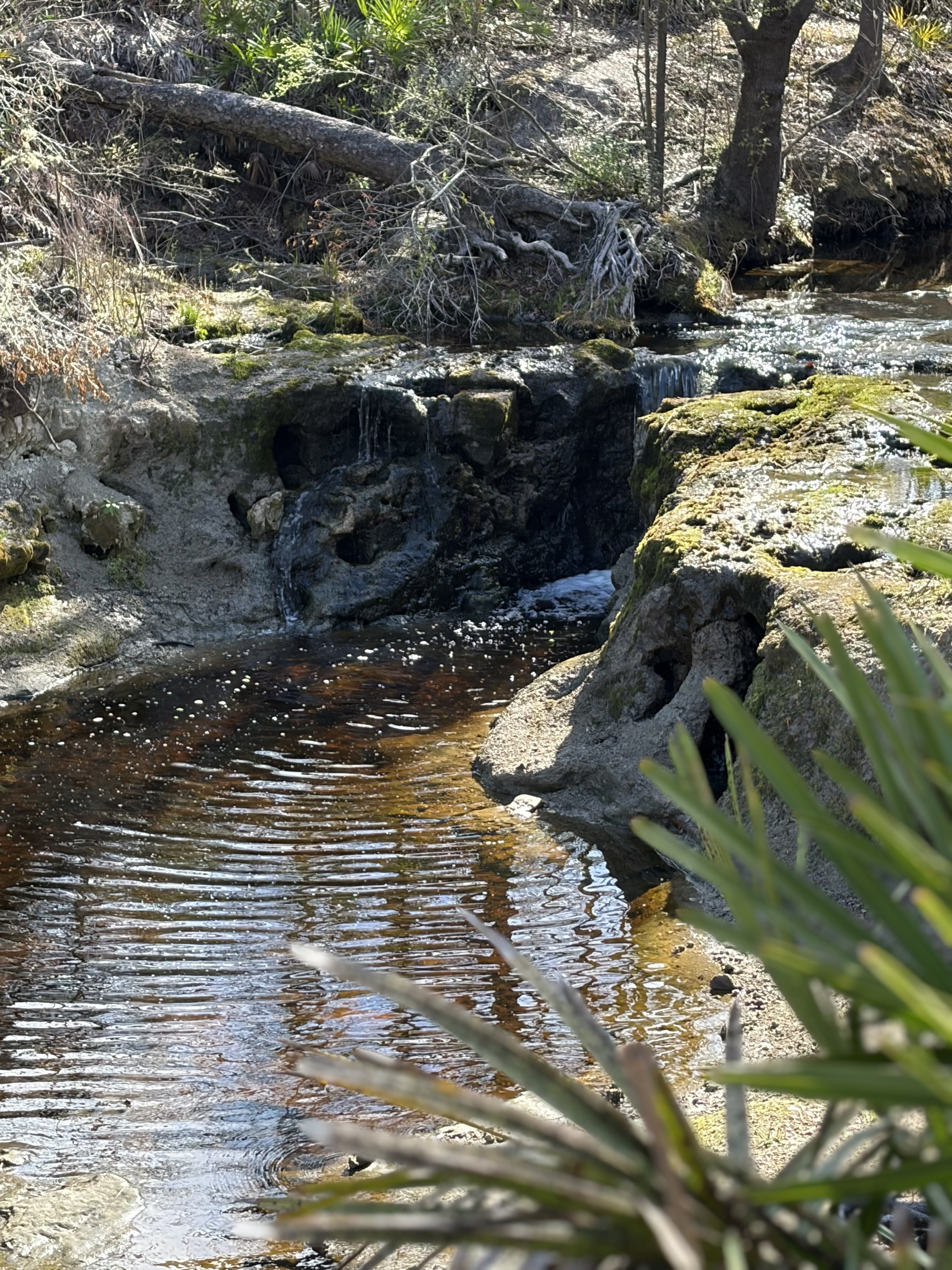
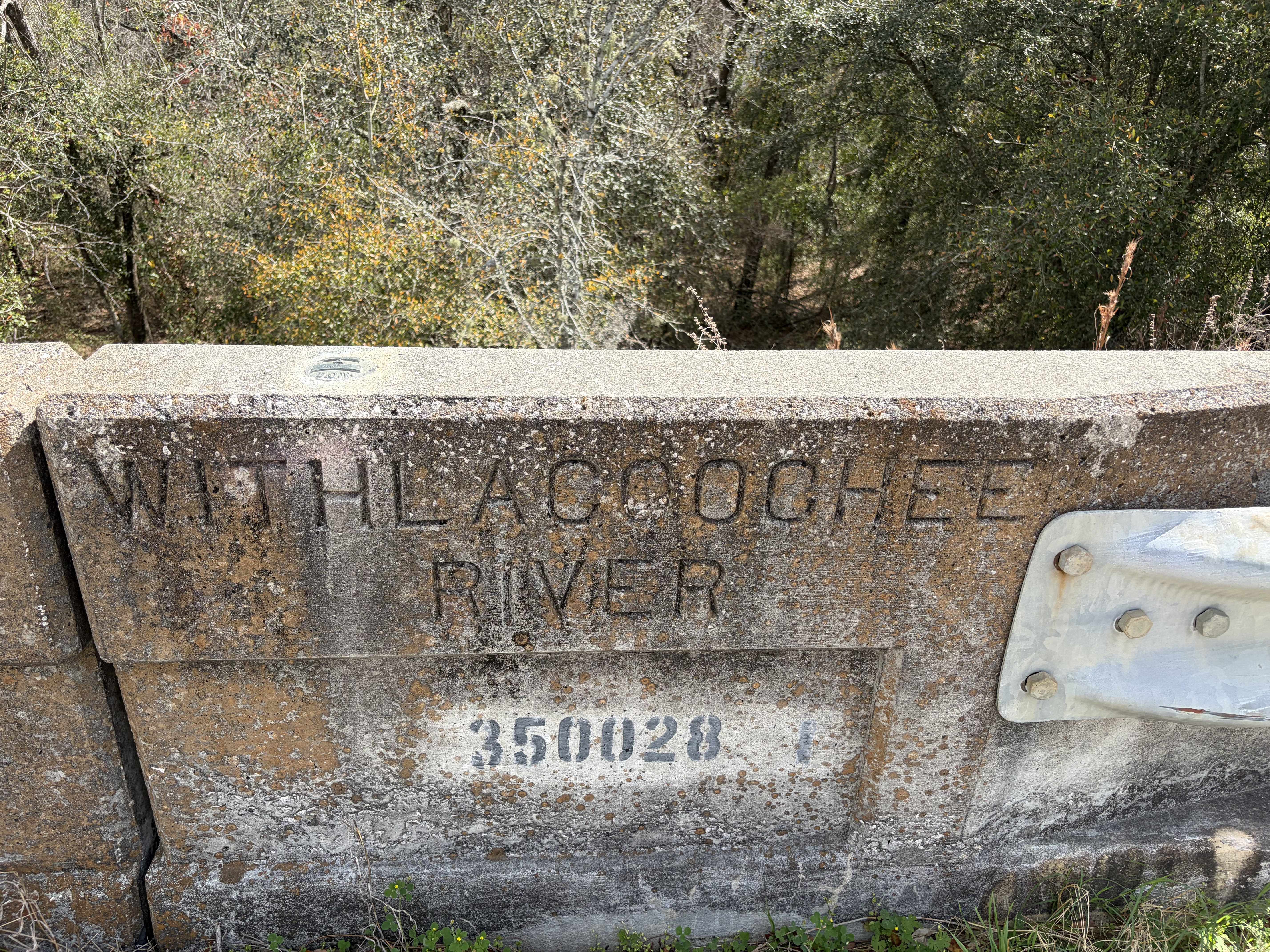
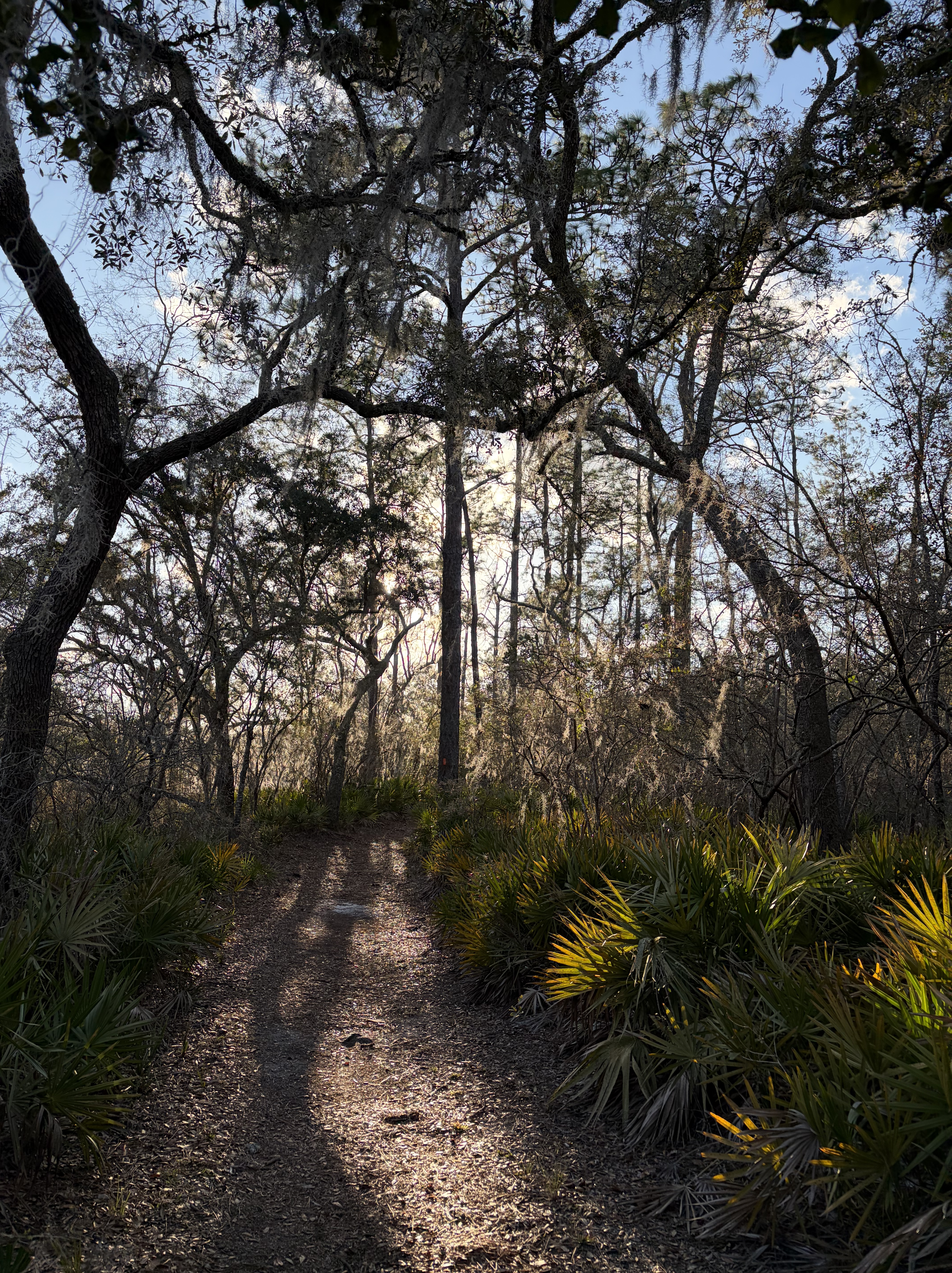
For the next sixty miles, I hug the Suwannee.
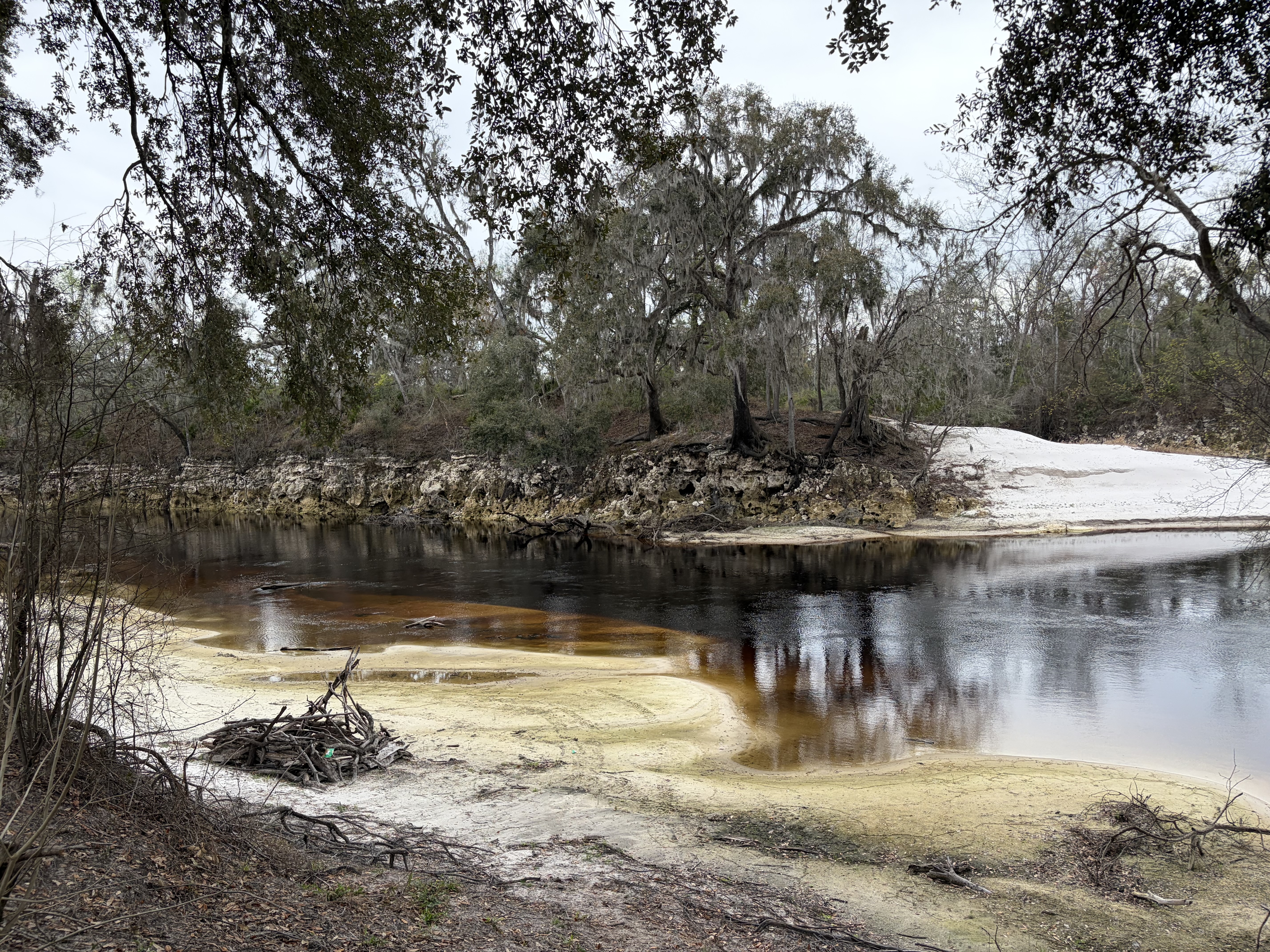
Tributaries occasionally force the trail away from the river, to a bridge or safer crossing, only to lead it gently back to banks high above tannin-tinted water.
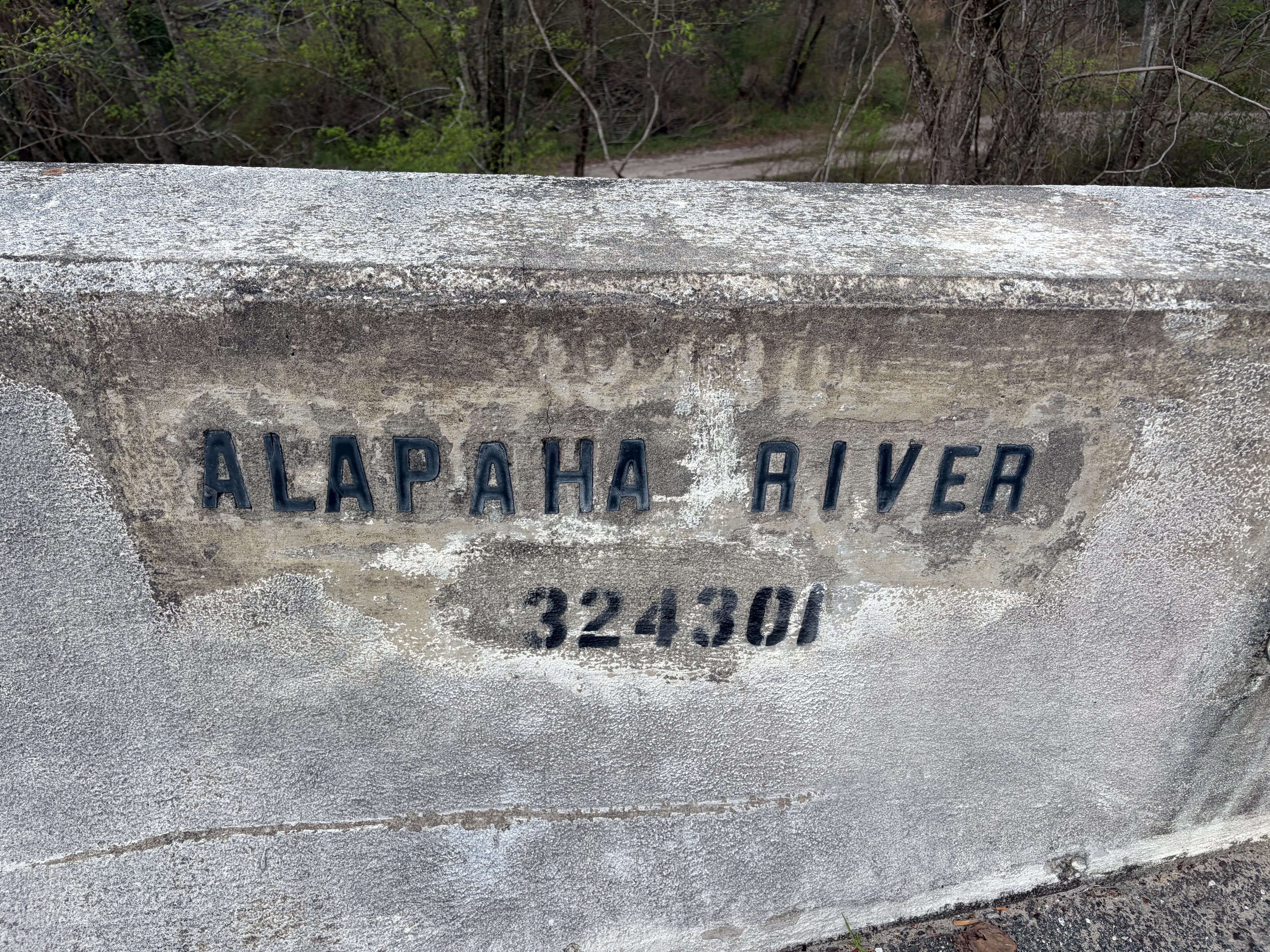
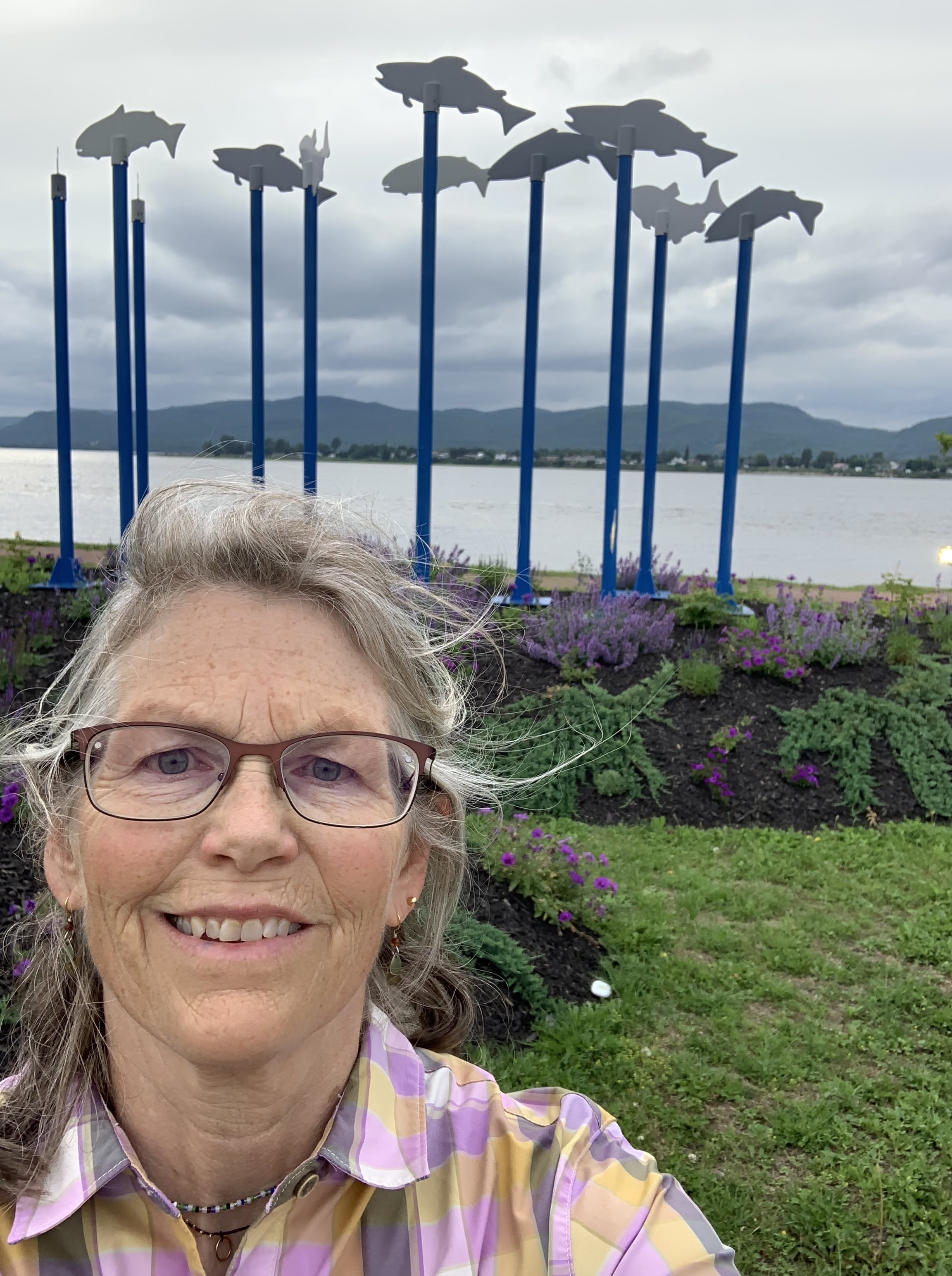
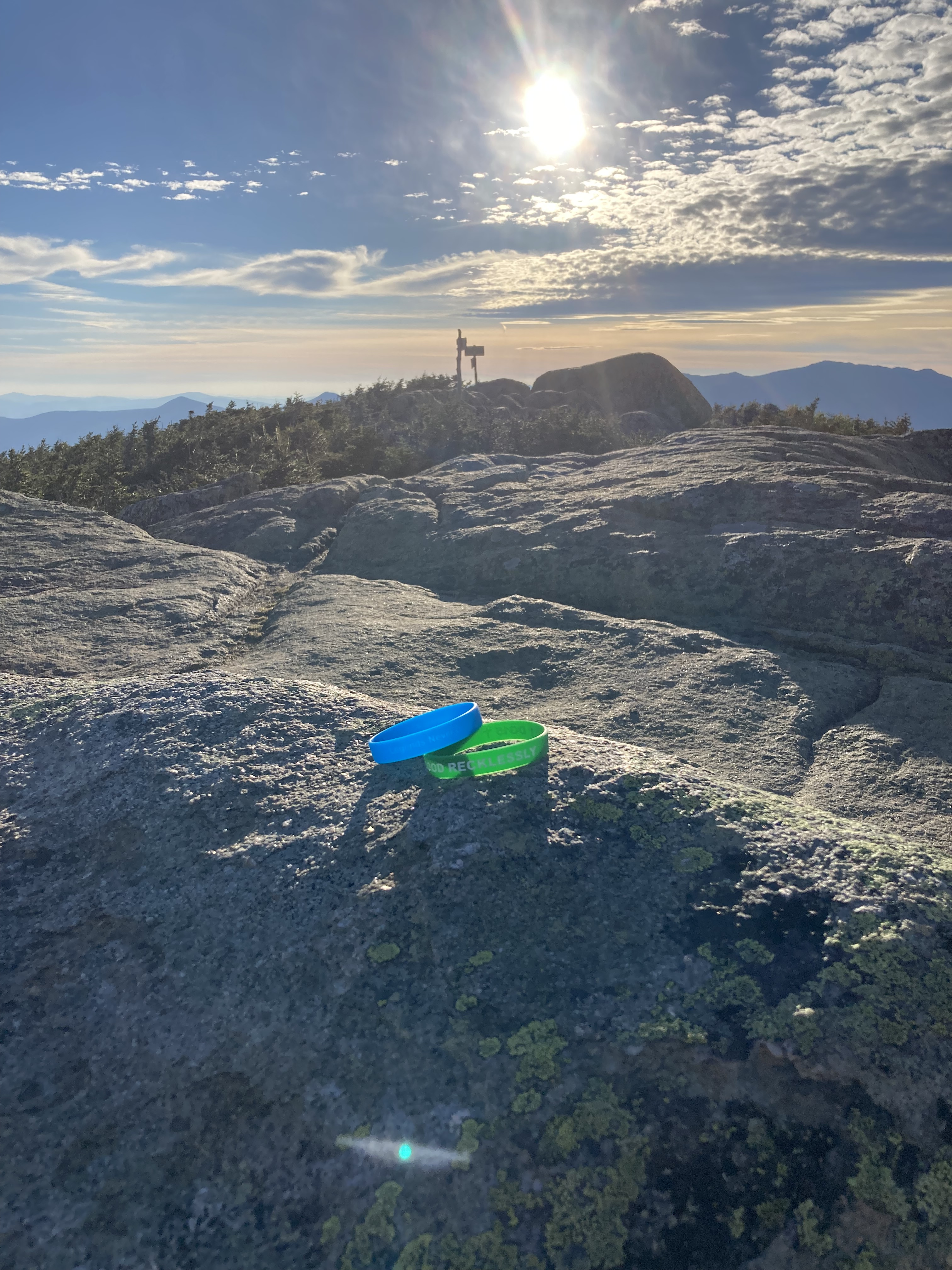
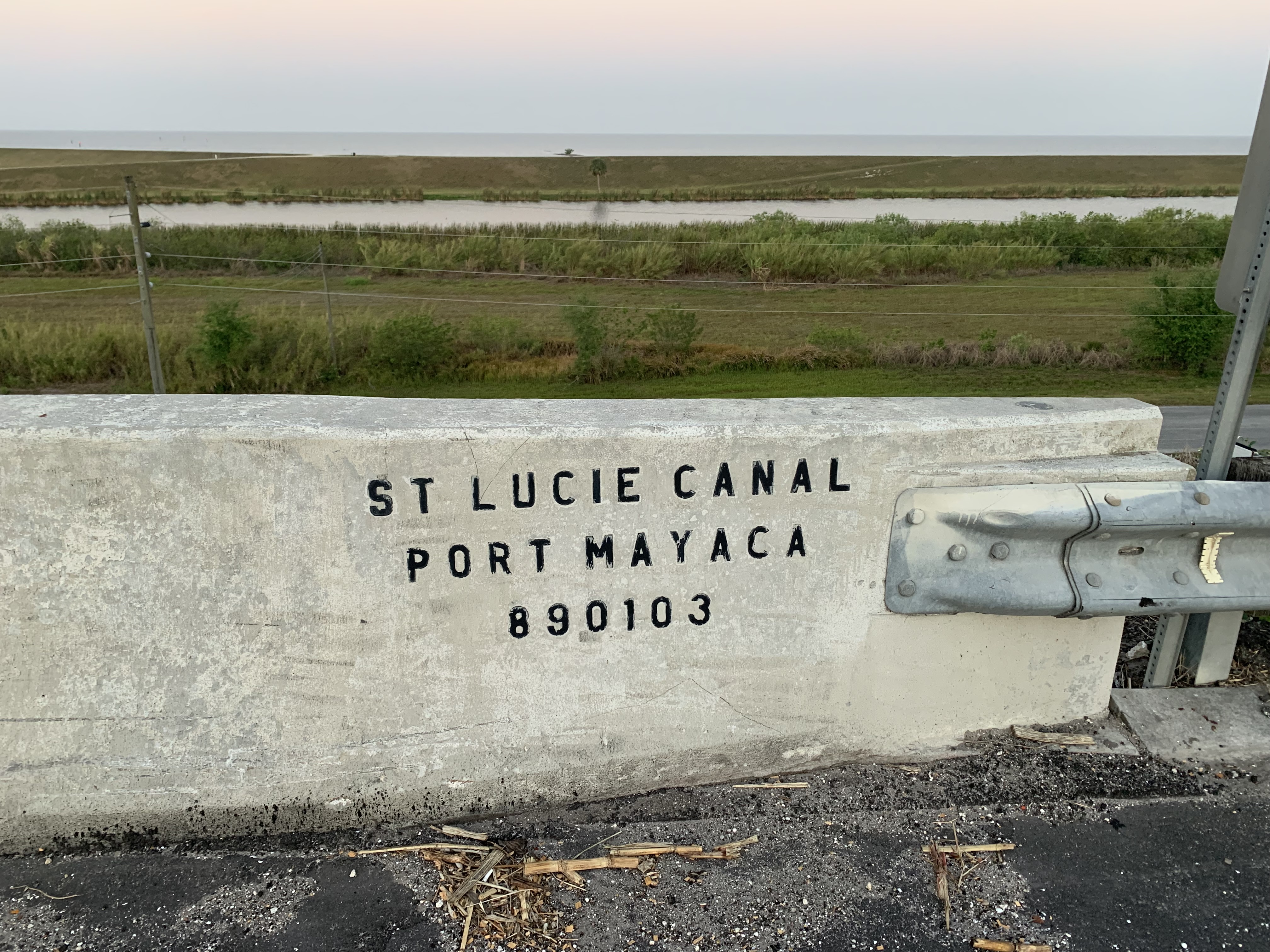
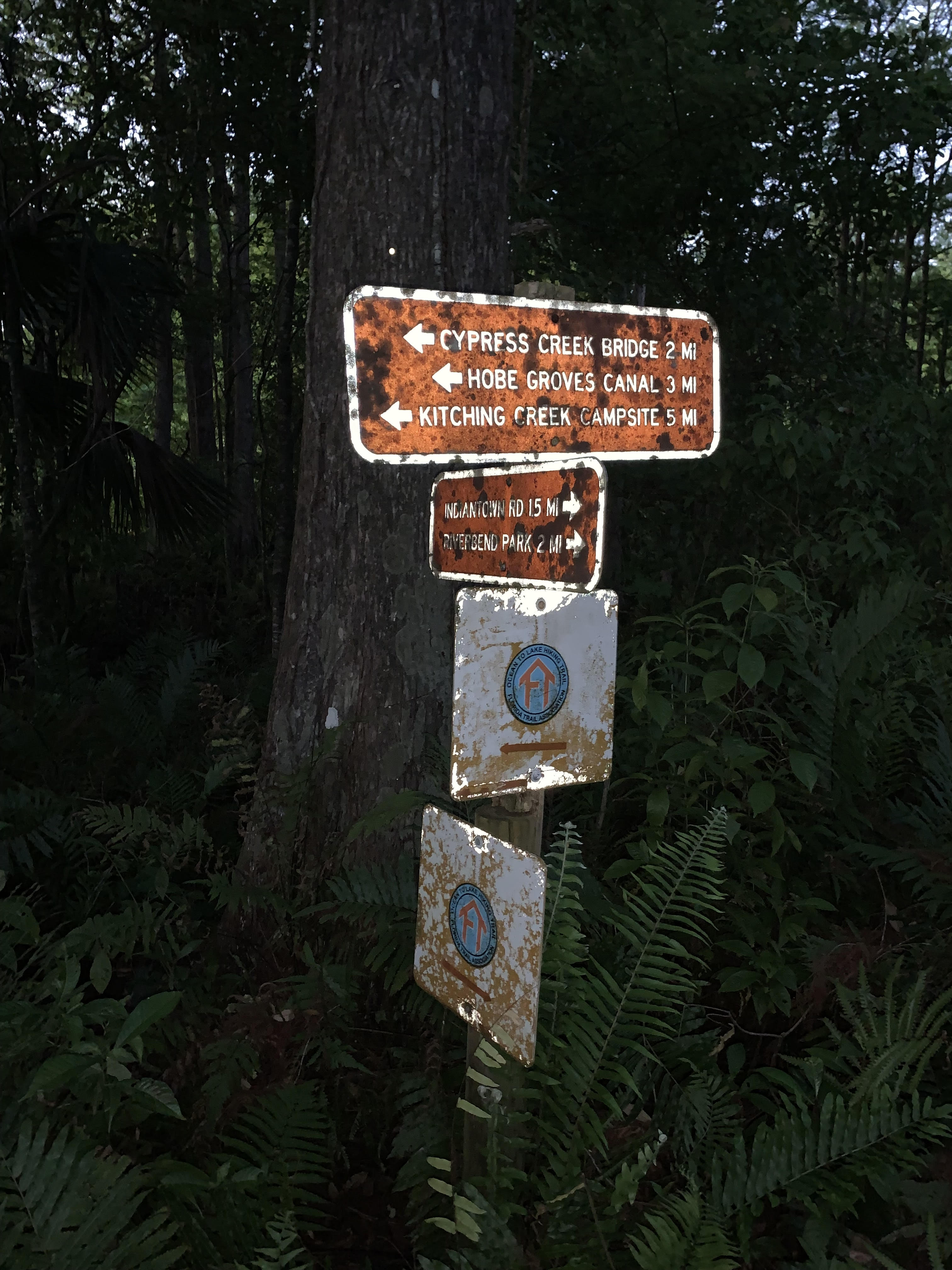
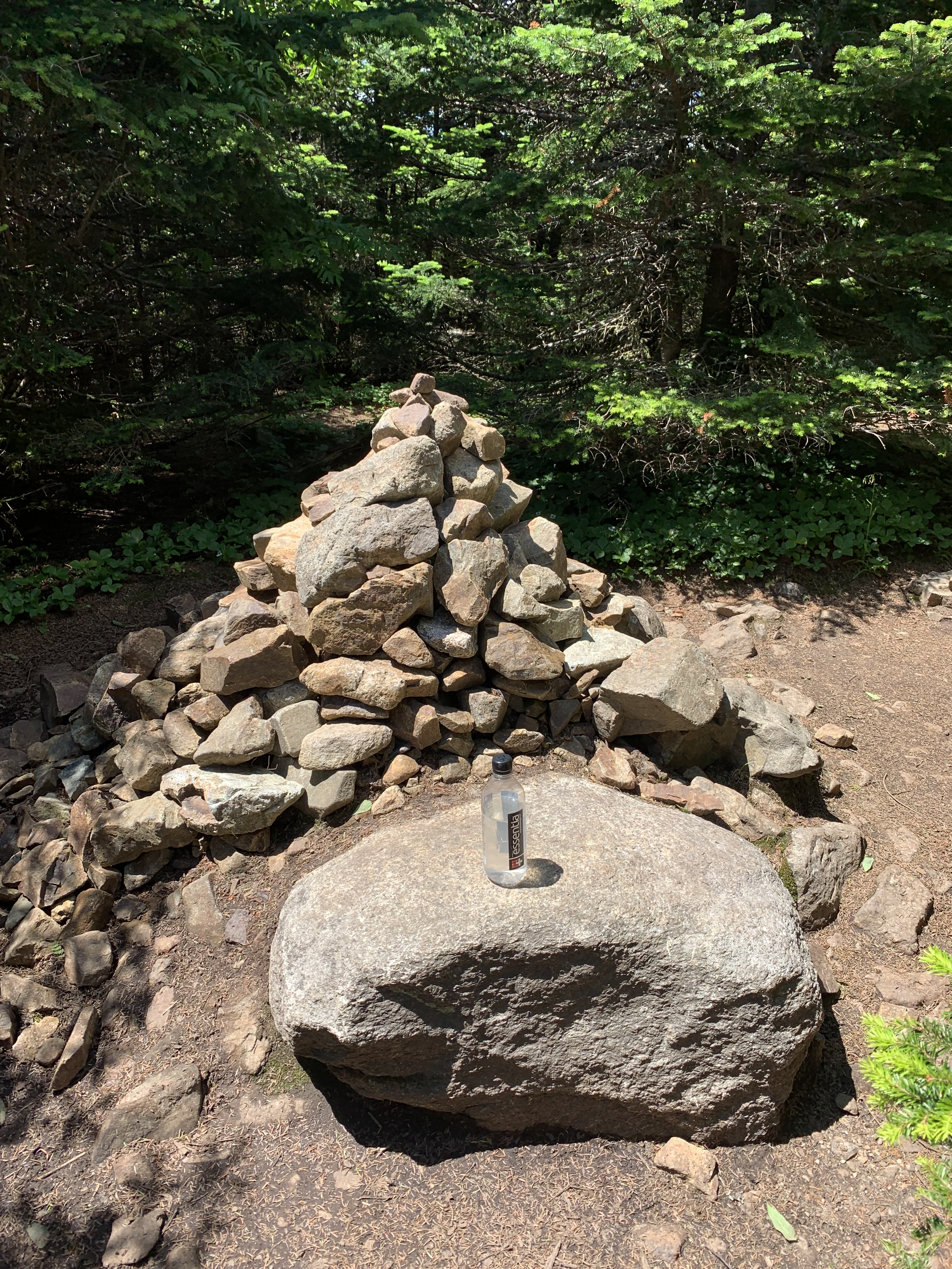
I pass an incredible sign which marks flood levels over the years. I stand at its base and try to imagine everything above my head covered with water.
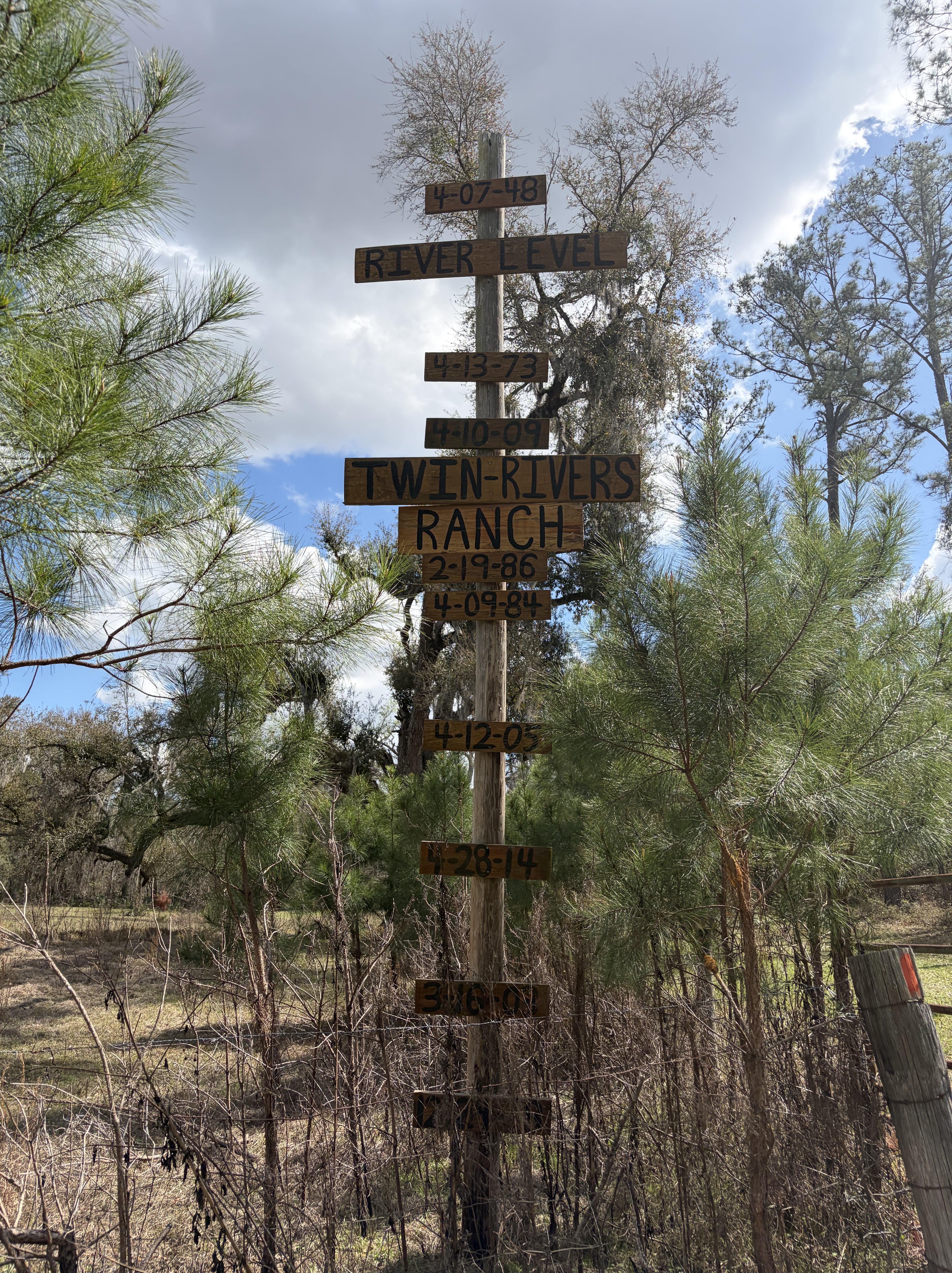
Other signs mark how the river is gauged over time. They, too, are high above the current stream, and I am grateful to finally complete this section without fear of drowning. I met two hikers a few years back who said they had been forced to swim in the very places where my feet were currently dry.
Yikes.
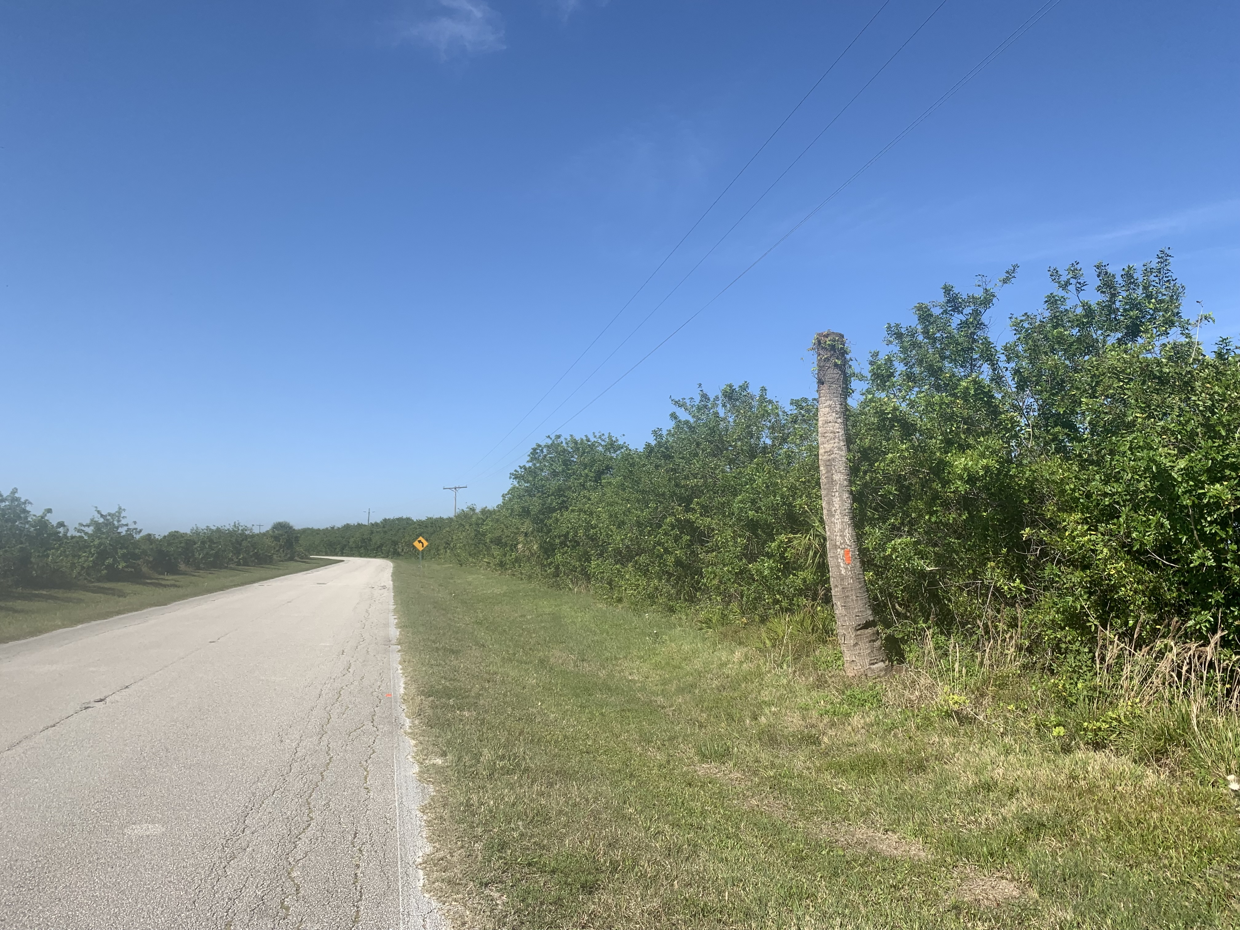
Of course it’s hot, even in the woods.
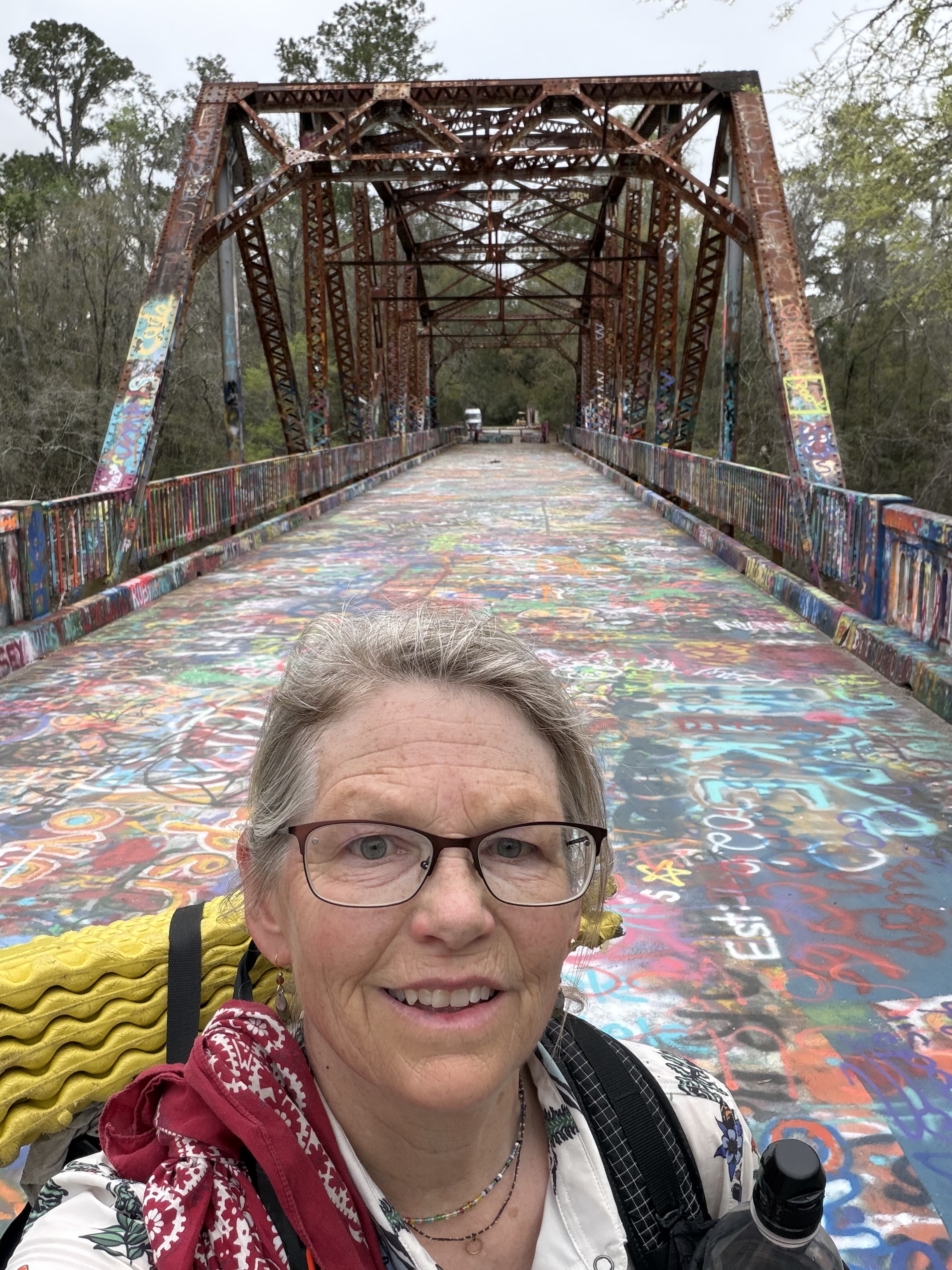
I detour when I can, to shady tables or over graffiti bridge, which leads to a mini mart and a bench where I chat amiably with a man named George who has lived here all his life.

I’m sad when he leaves and my phone is still charging, so I sit there, alone, and watch the traffic pass.
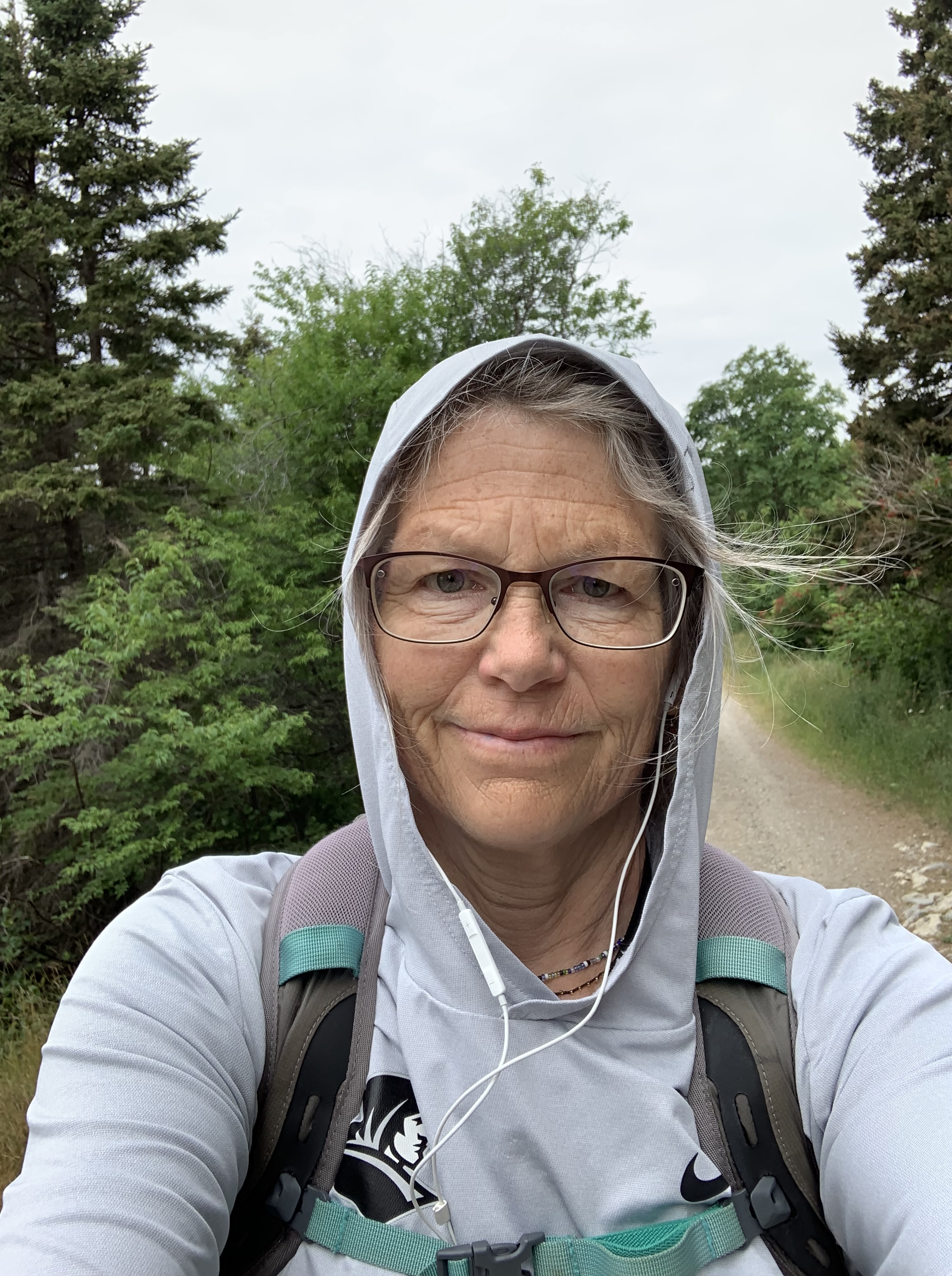
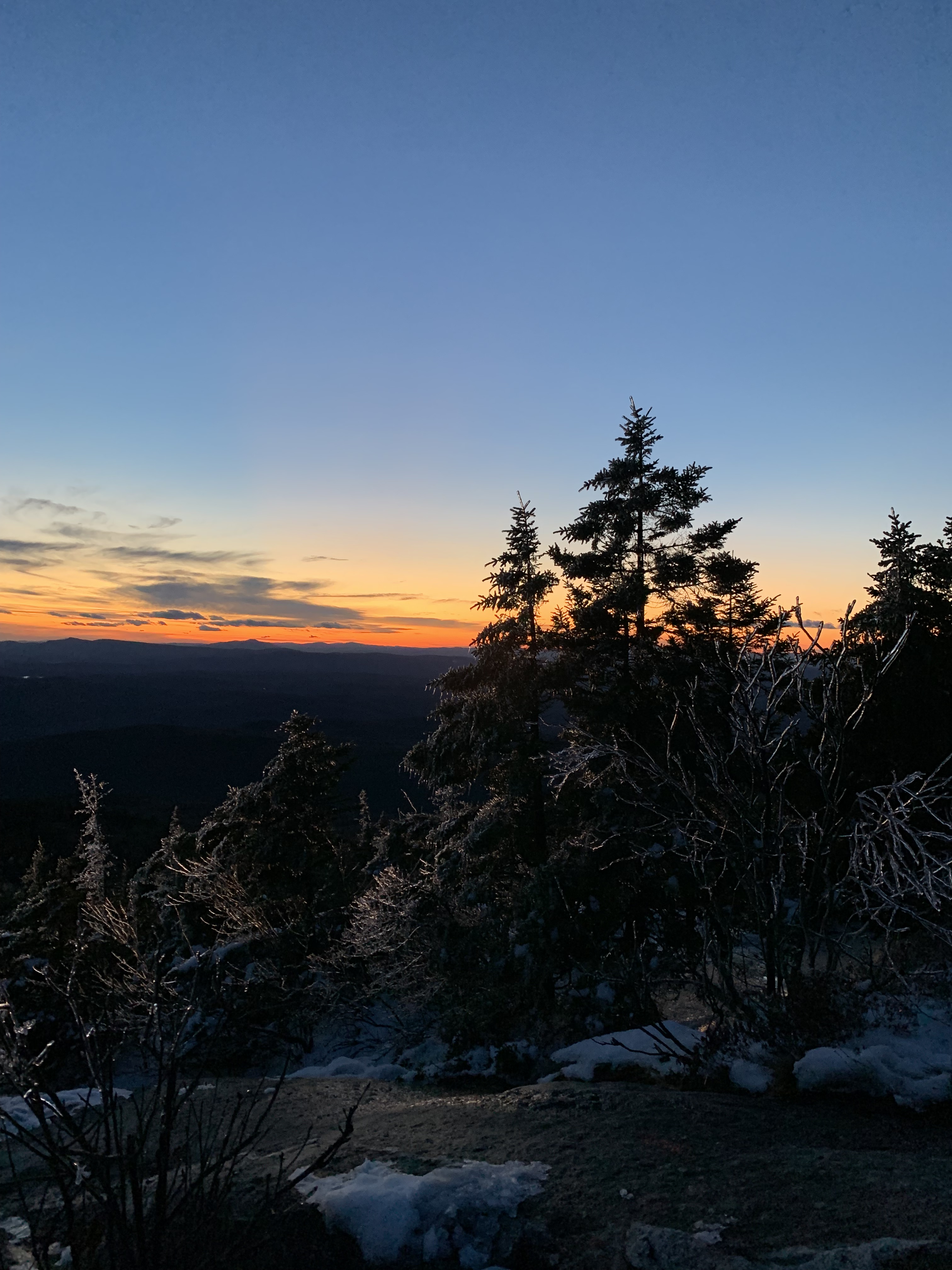
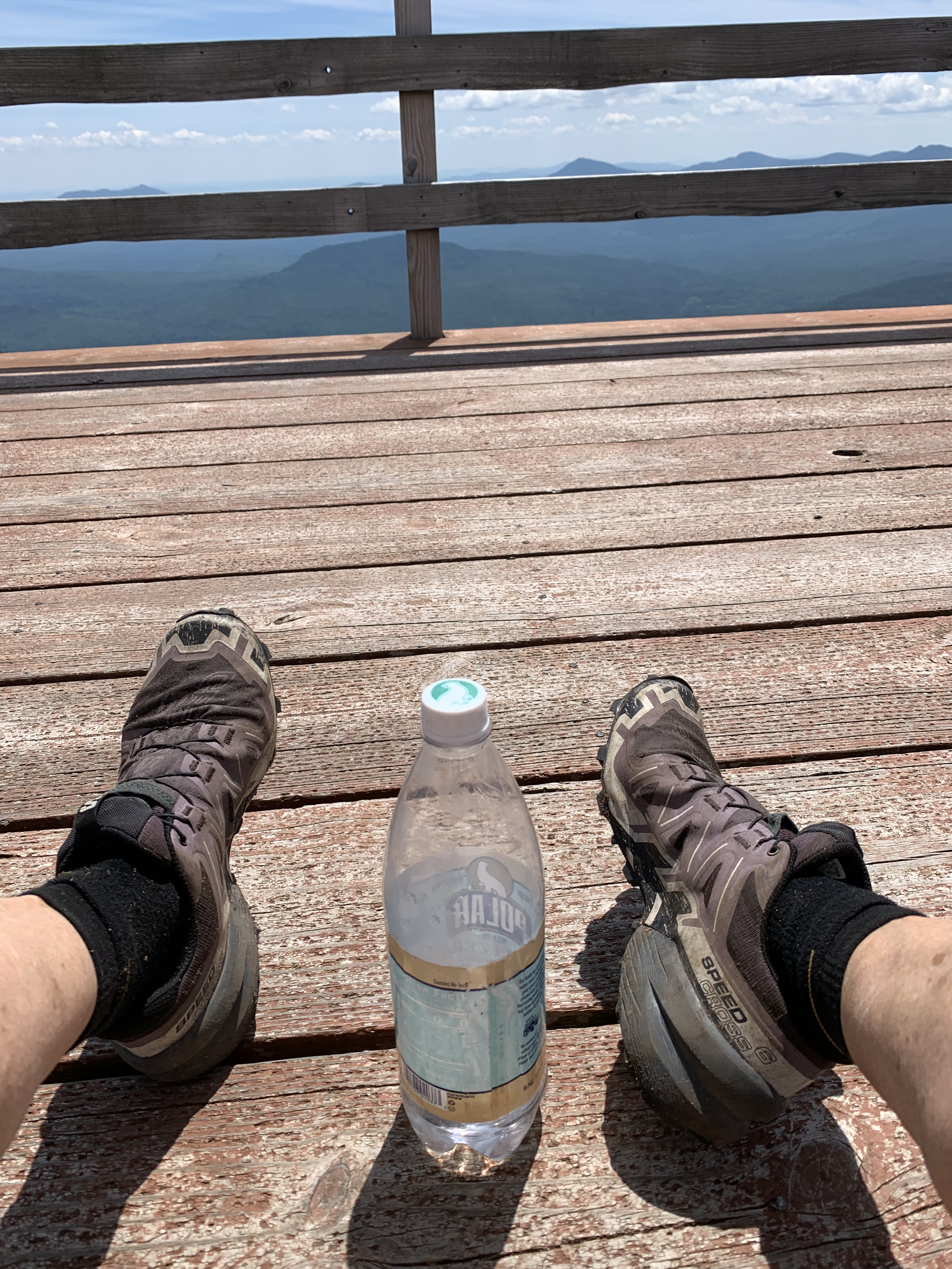
After five days, I’m closing in on White Springs. There’s no rush, only a long drive home ahead.
I love this trail.
I love the tiny twinkle of ant eyes in the dark as I bumble by.
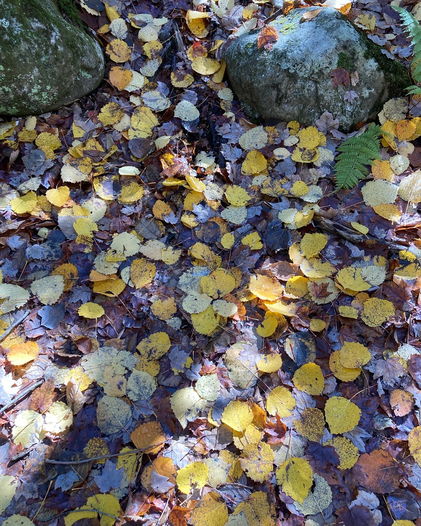
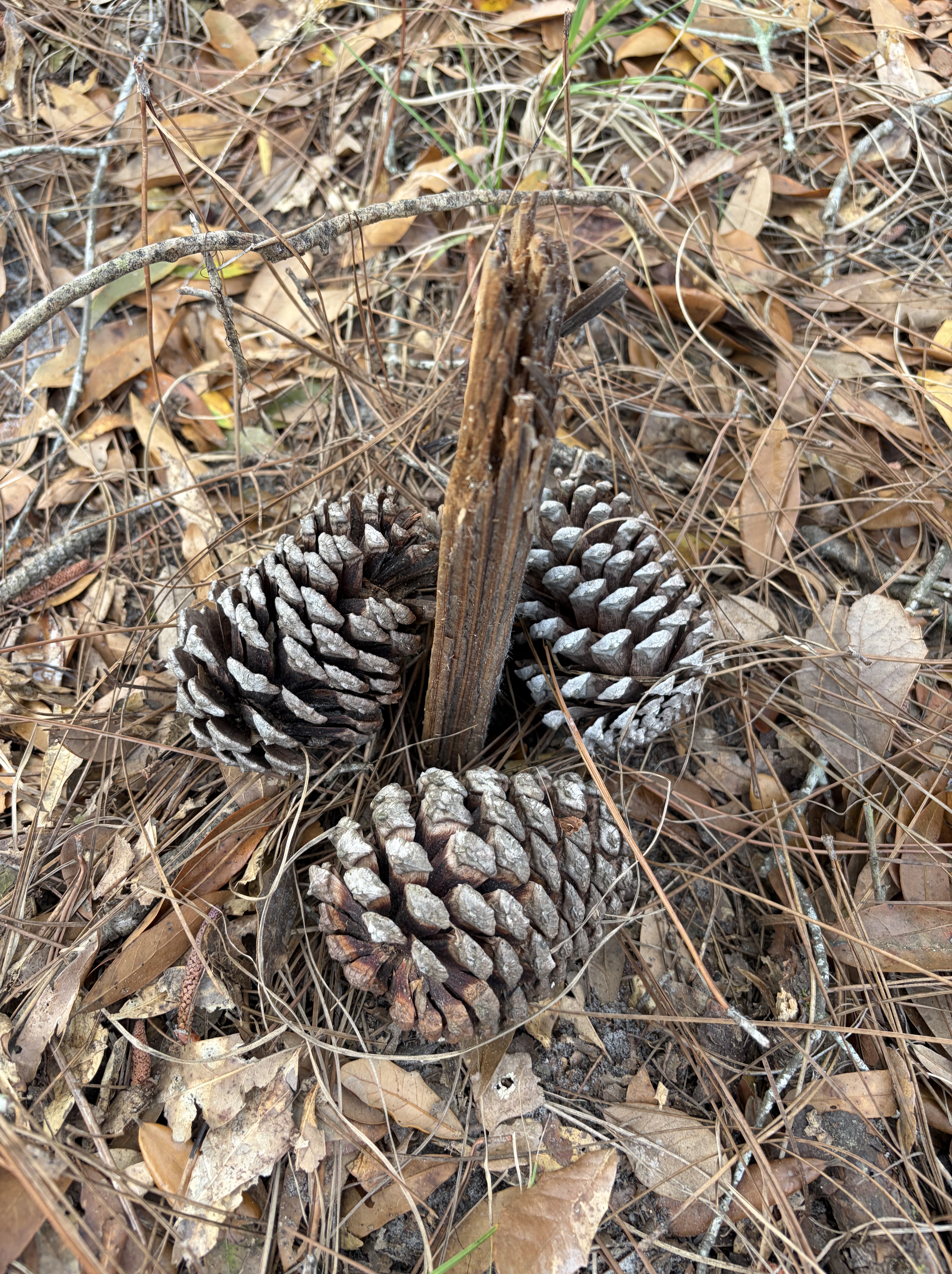
How pine needles and sun-baked leaves crepitate under my soles.

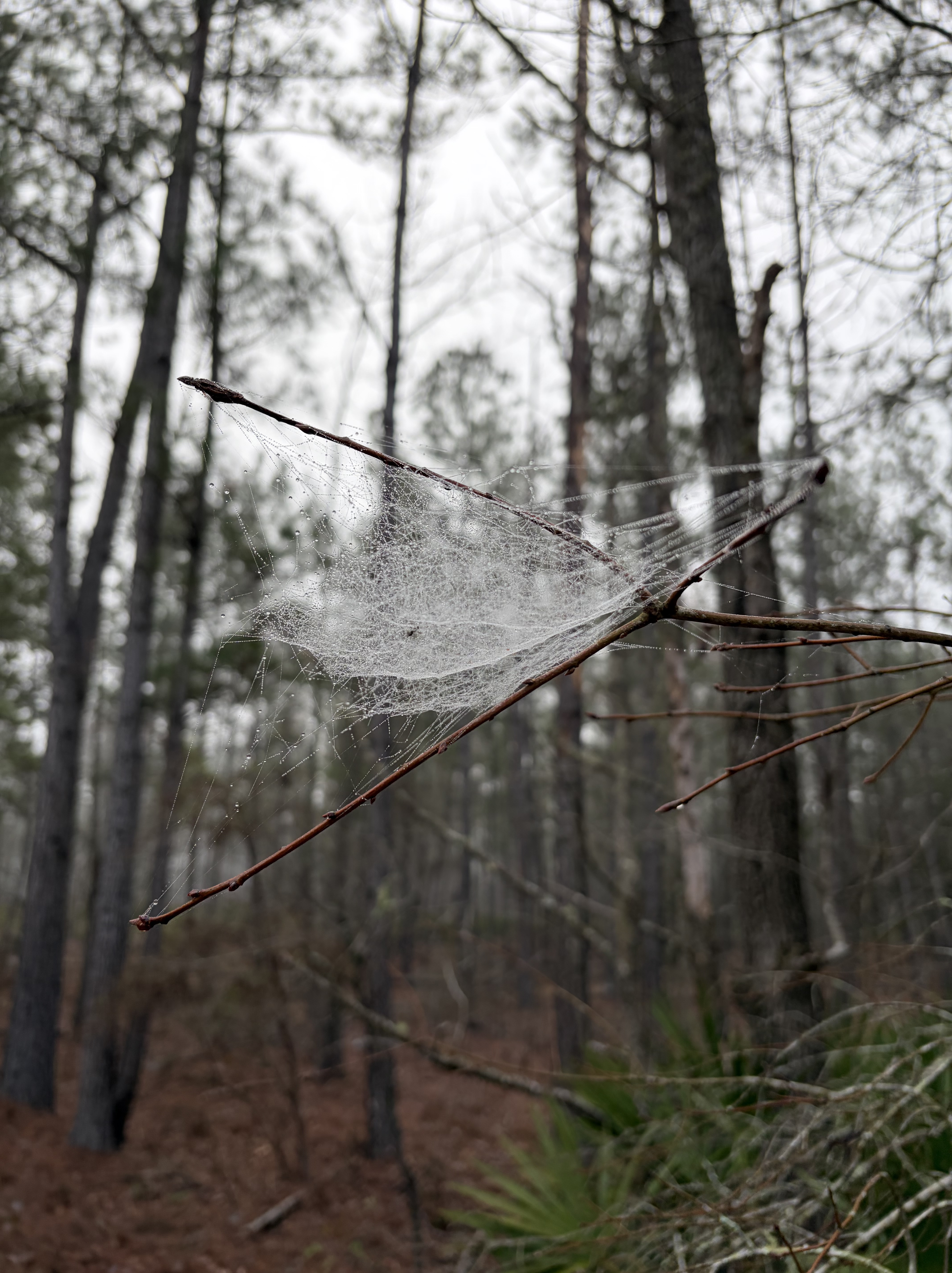
Gossamer leavings in the elbow of a branch.
Sweat in my eyes, the ache of a long, hard day.
It’s the perfect antidote for a long school season, and the reason I return every March.
Only two sections left.

I don’t really ever want to finish.