
Preparation
I was looking for something longer to hike this summer when I read about Jennifer Pharr Davis’s newly minted Appalachian High Route. Davis has long been a hero of mine since setting the FKT on the Appalachian Trail in 2011. She has since used her platform to encourage others to pursue lofty goals and even, in a recent trip, to help Indigenous Fijians access clean drinking water, so I was curious to discover what sort of challenge she had envisioned.
The 350-ish mile loop was the perfect length for the time I had between some summer school duties and helping a son move apartments, so I started researching the particulars, as a specific map, guidebook, or online GPS data were not yet available.
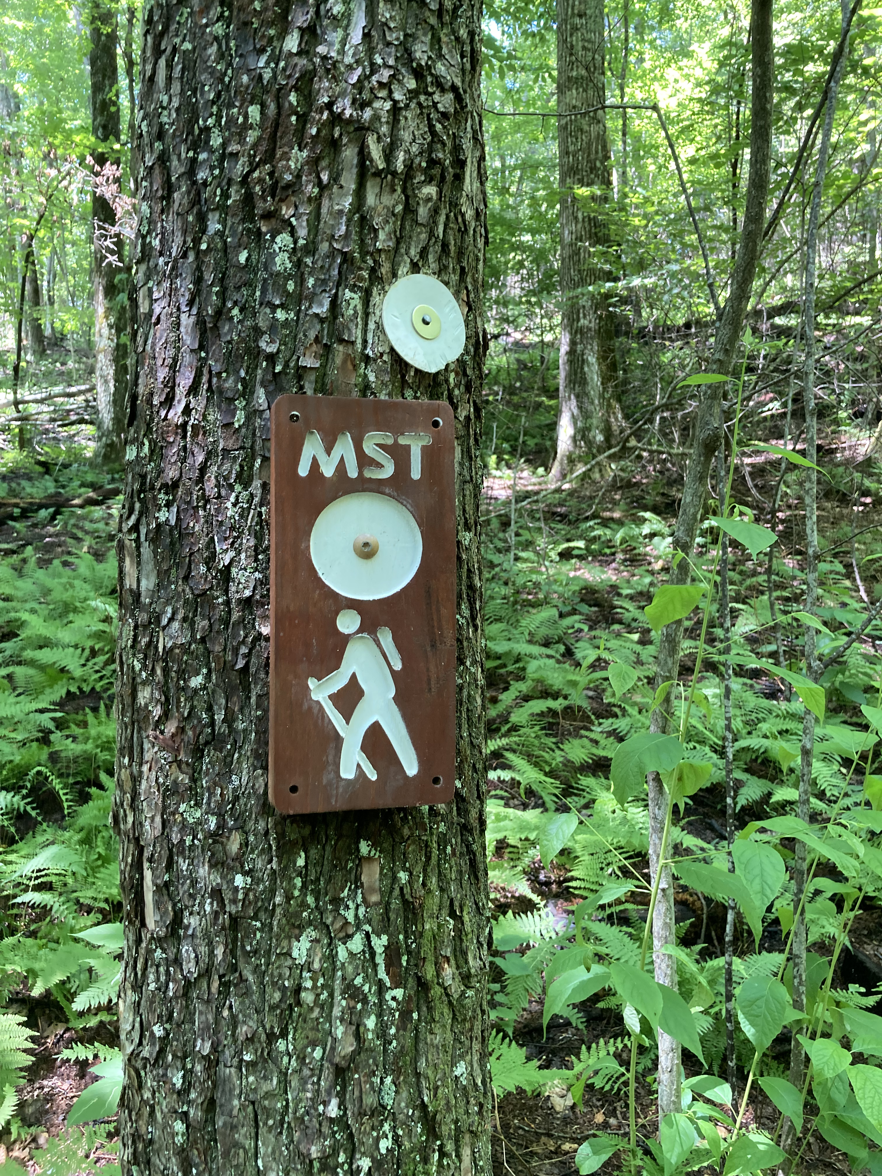
Not that there weren’t resources out there. The AHR traverses the Black Mountain Crest Trail, the Mountains-to-Sea Trail, and my dear old friend the Appalachian Trail; linking these trails is a road-and-trail stretch called the “Burnsville Connector,” which nearly broke my heart (more on that later).
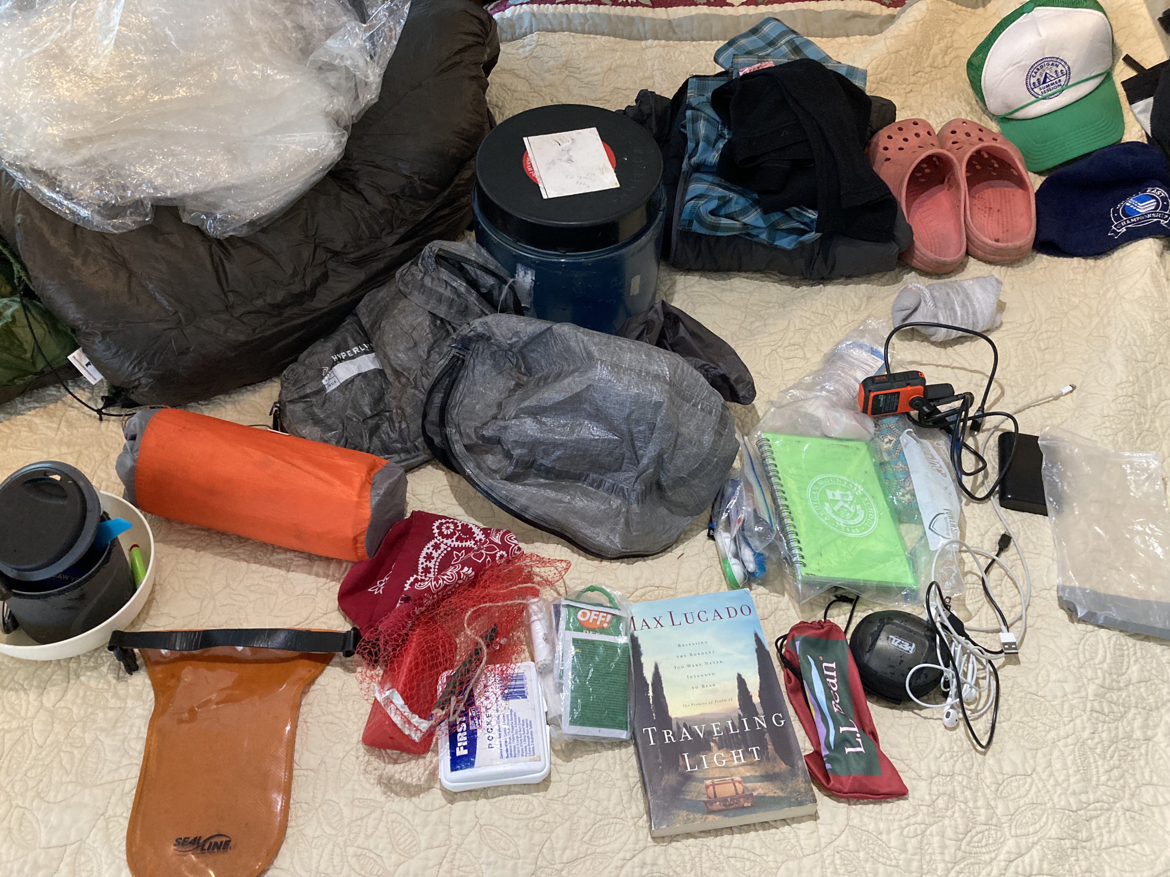
I simply had to order a few maps, download some directions, and dust off some resources from my 2010 AT thru-hike with the youngest lad. I also planned my resupplies, including sending a box to Balsam, NC, making sure I knew its hours of operation and days it was open.
For the Burnsville Connector, I printed Davis’s directions and used some mapping apps to get an overall sense of what it entailed.
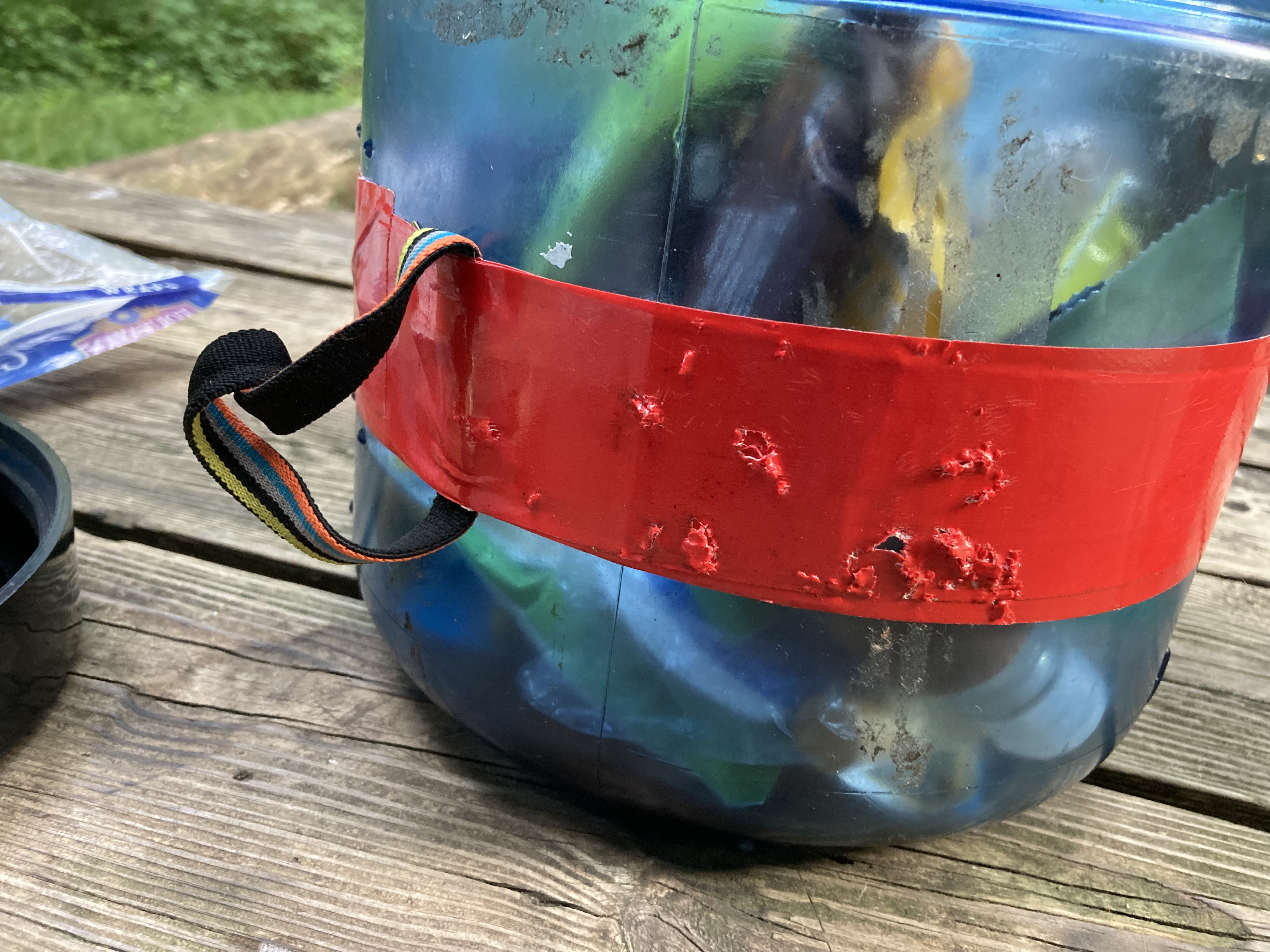
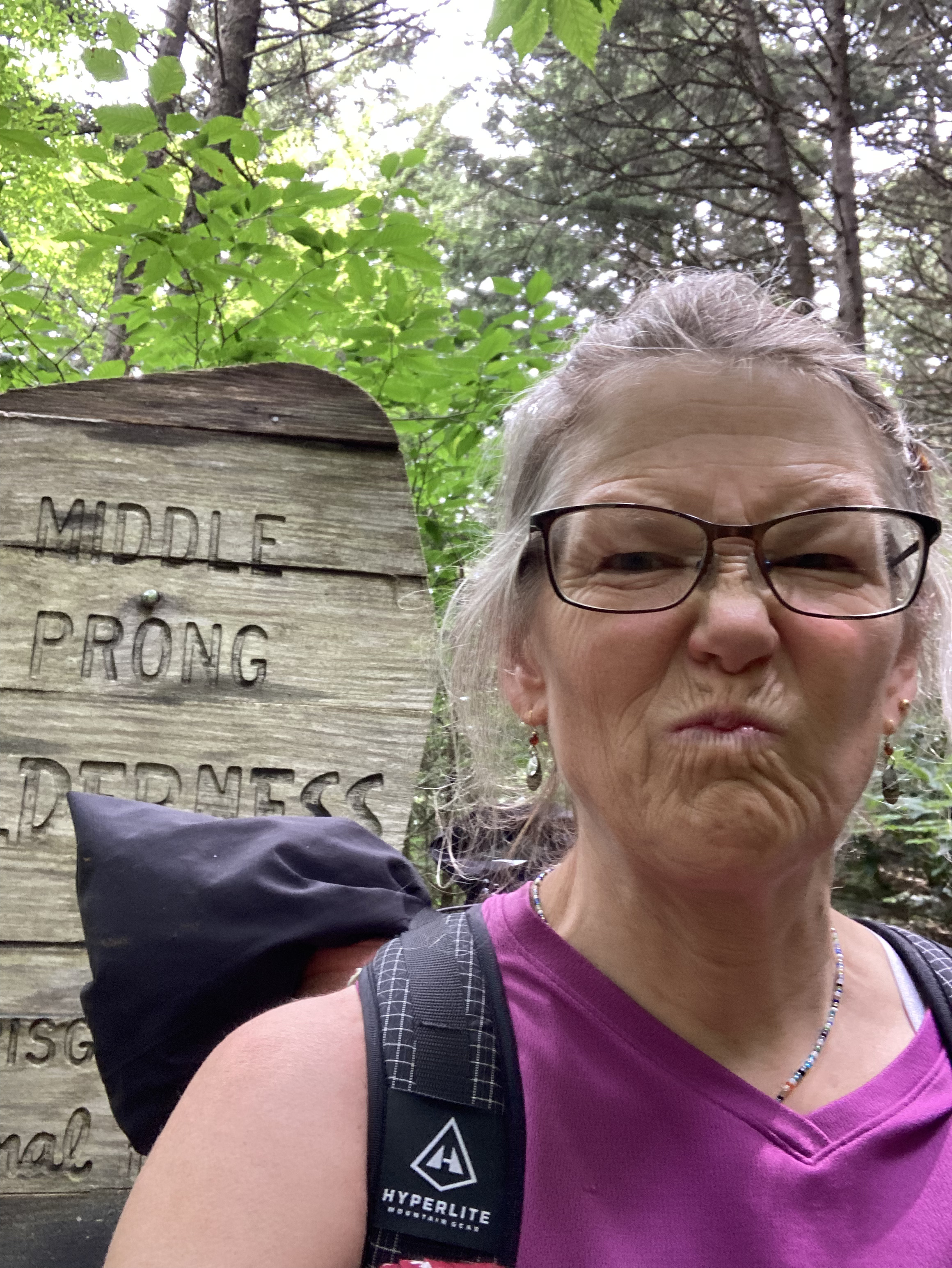
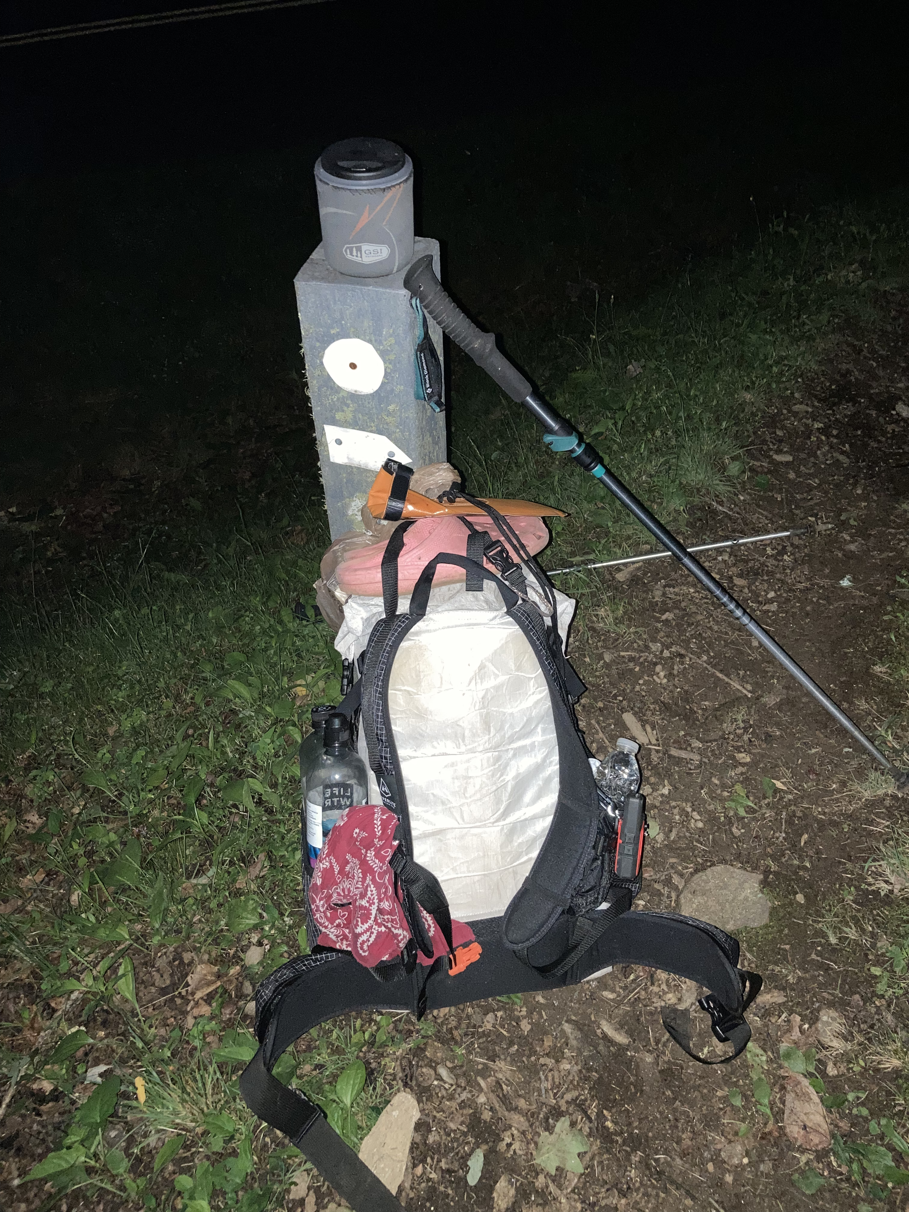
Because one of the sections on the MTS required a bear canister, I borrowed one from The Princess, ruthlessly cutting down the rest of my pack weight knowing how heavy that sucker was. I even added a loop secured with duct tape knowing there would be bear cables in the Smokies and beyond. If Yogi wanted my food, he was going to have to battle me for it.
Turns out the mice were also looking for an easy meal, but all of their nasty nibbles were for naught.
All that remained was grabbing a room in Burnsville for the night-before, packing the car, and heading out.
As an aside, the Carolina Country Inn is an awesome place. Clean, comfy and convenient, with wonderful hosts, this Inn is a no-brainer for anyone wanting to attempt the AHR. They even watched my car while I was gone.
First Lost
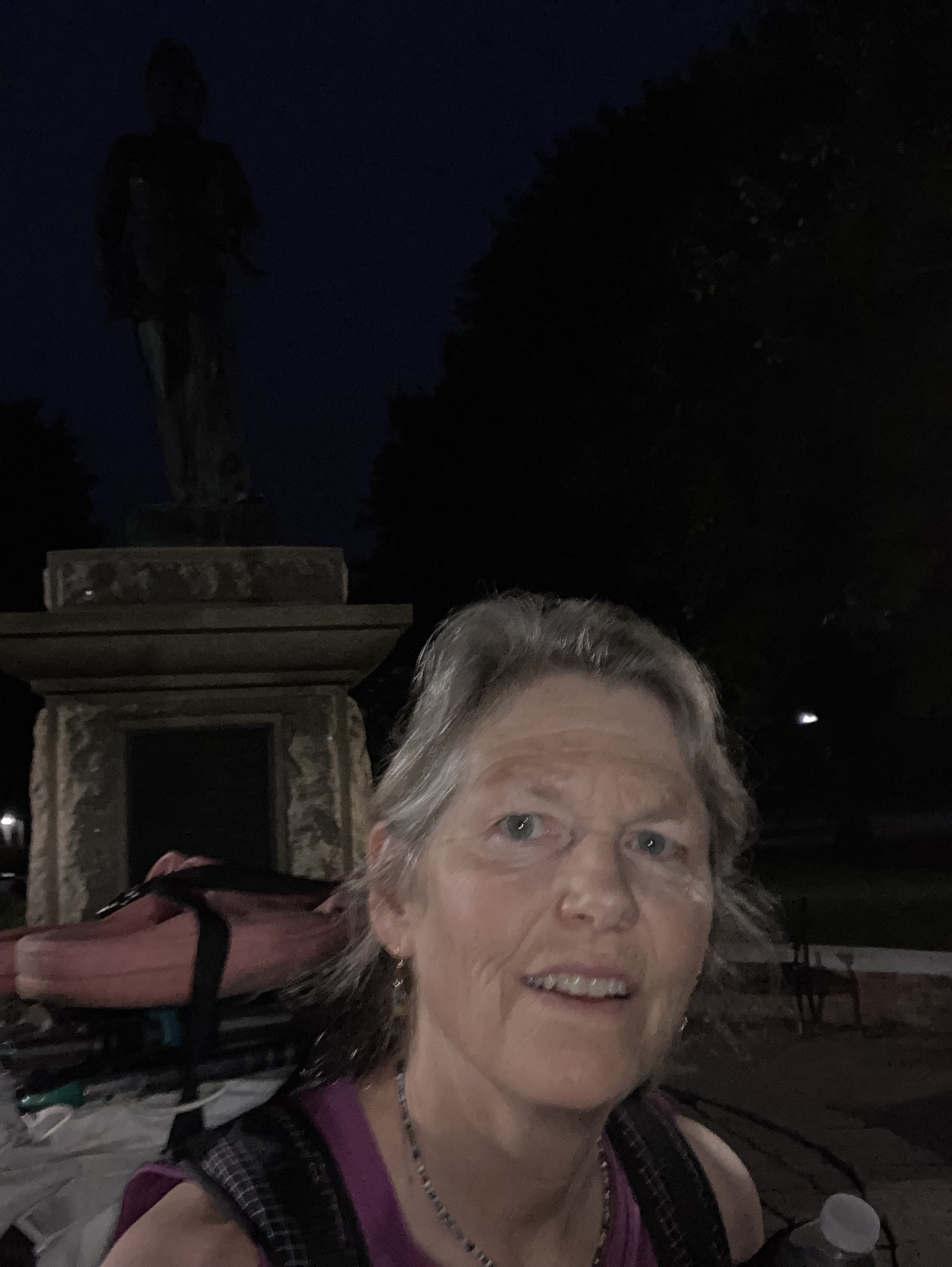
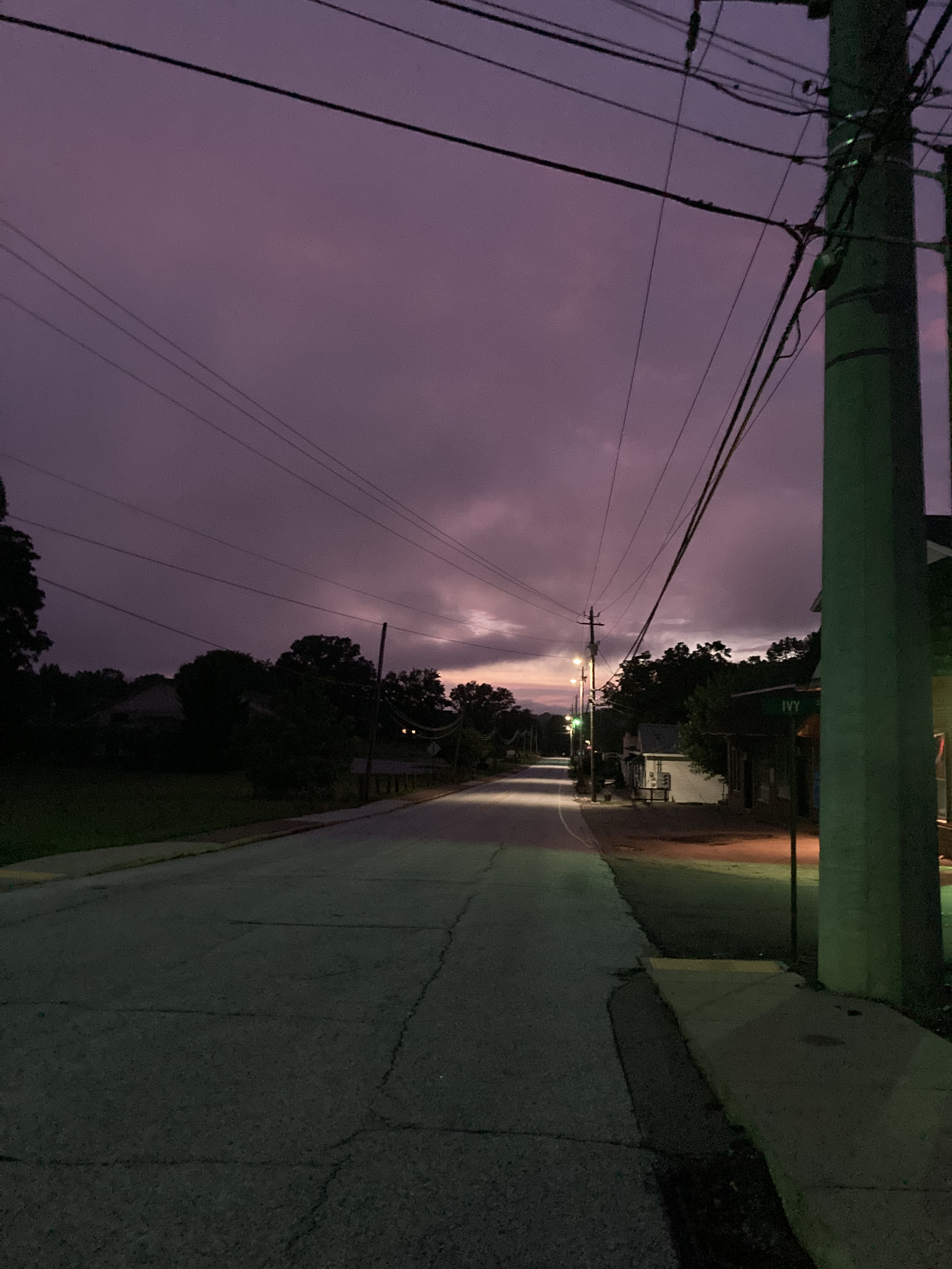
The streets of Burnsville were lovely and luminous as I set out toward the Black Mountain Crest trailhead on the morning of July 8th. I’m always optimistic in the early miles of any endeavor; it’s almost as if my brain doesn’t remember past pains, only the wonder. It’s just as well. Not knowing what is ahead keeps one from discouragement and refuses even the idea of a quit.
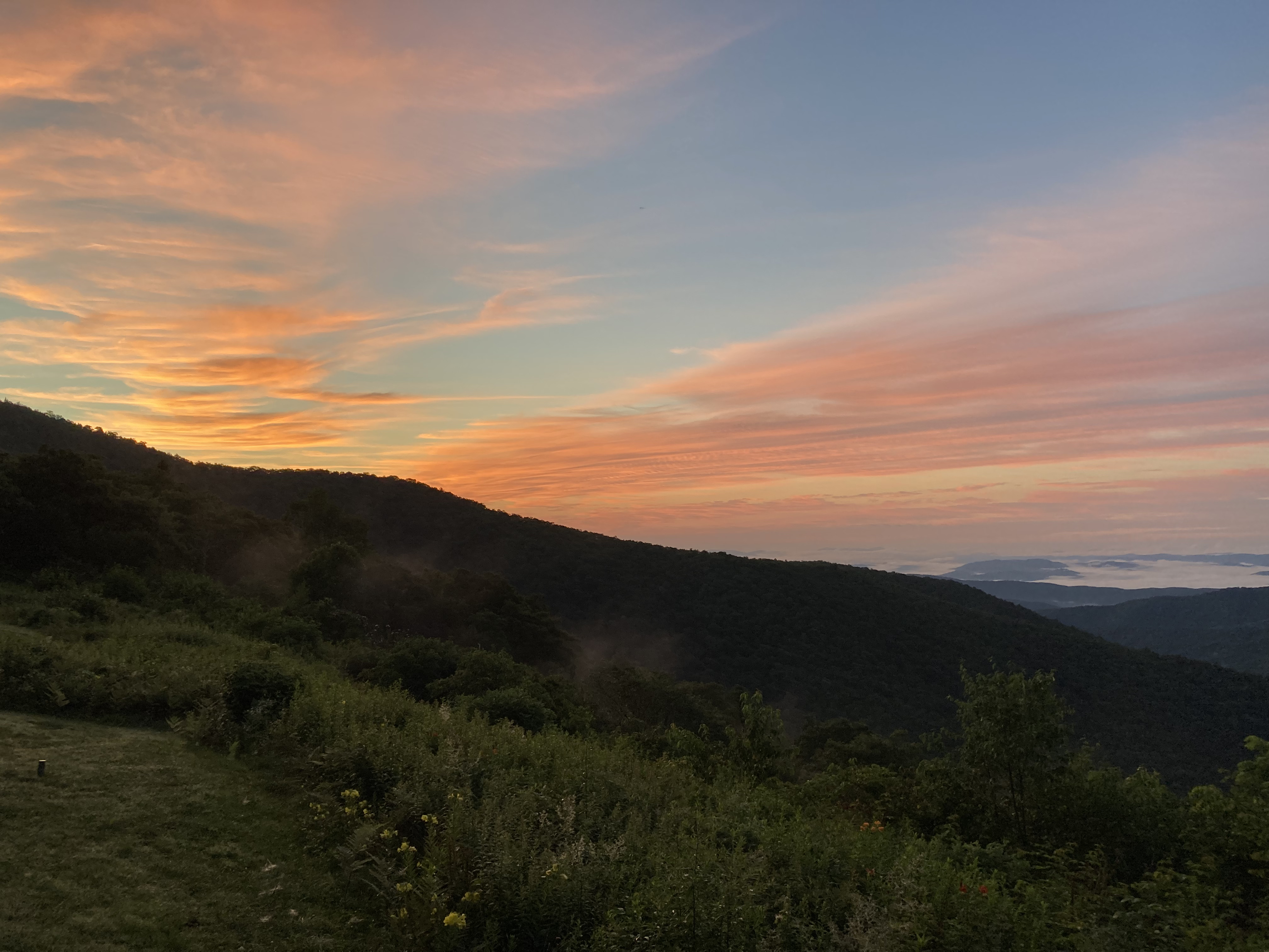
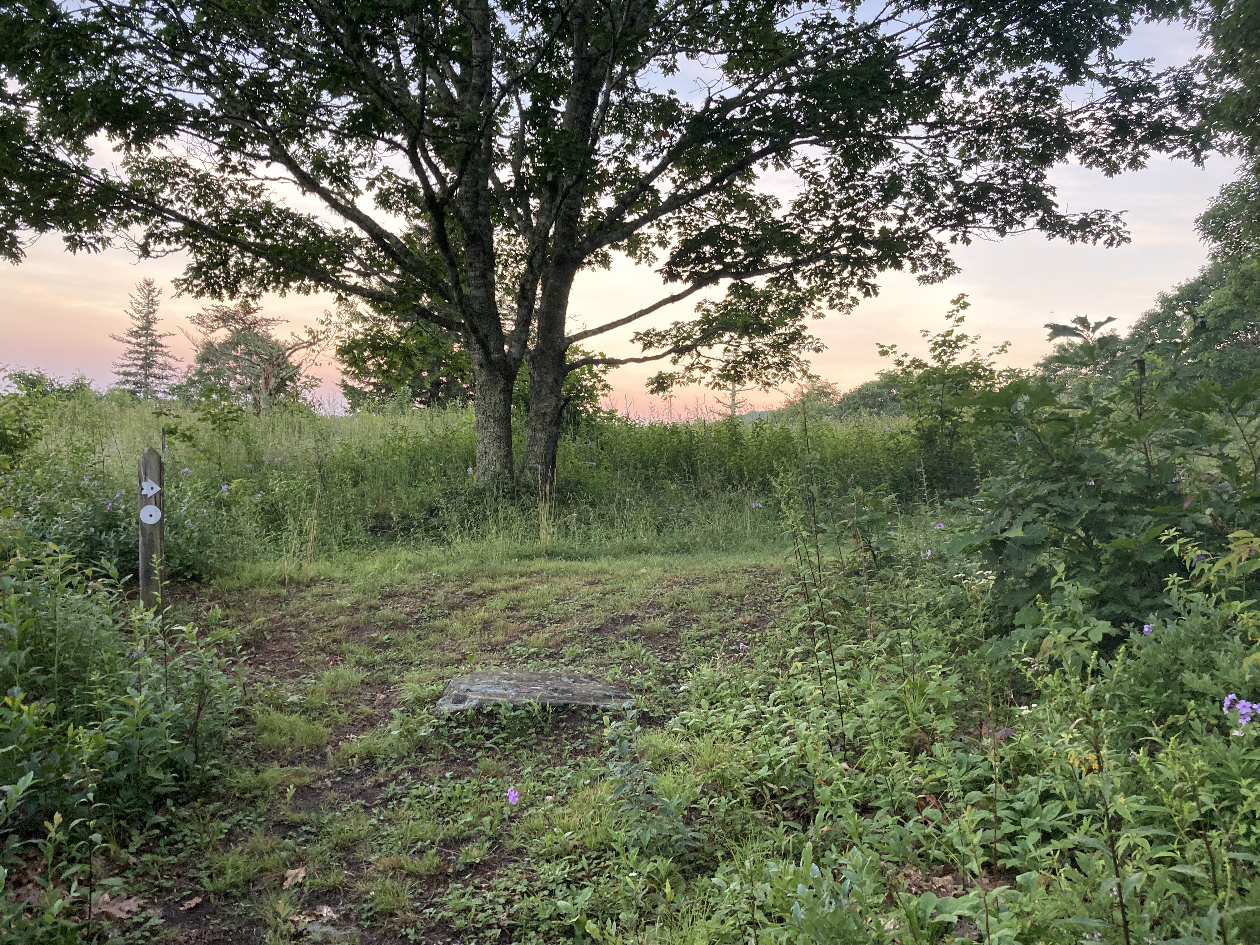
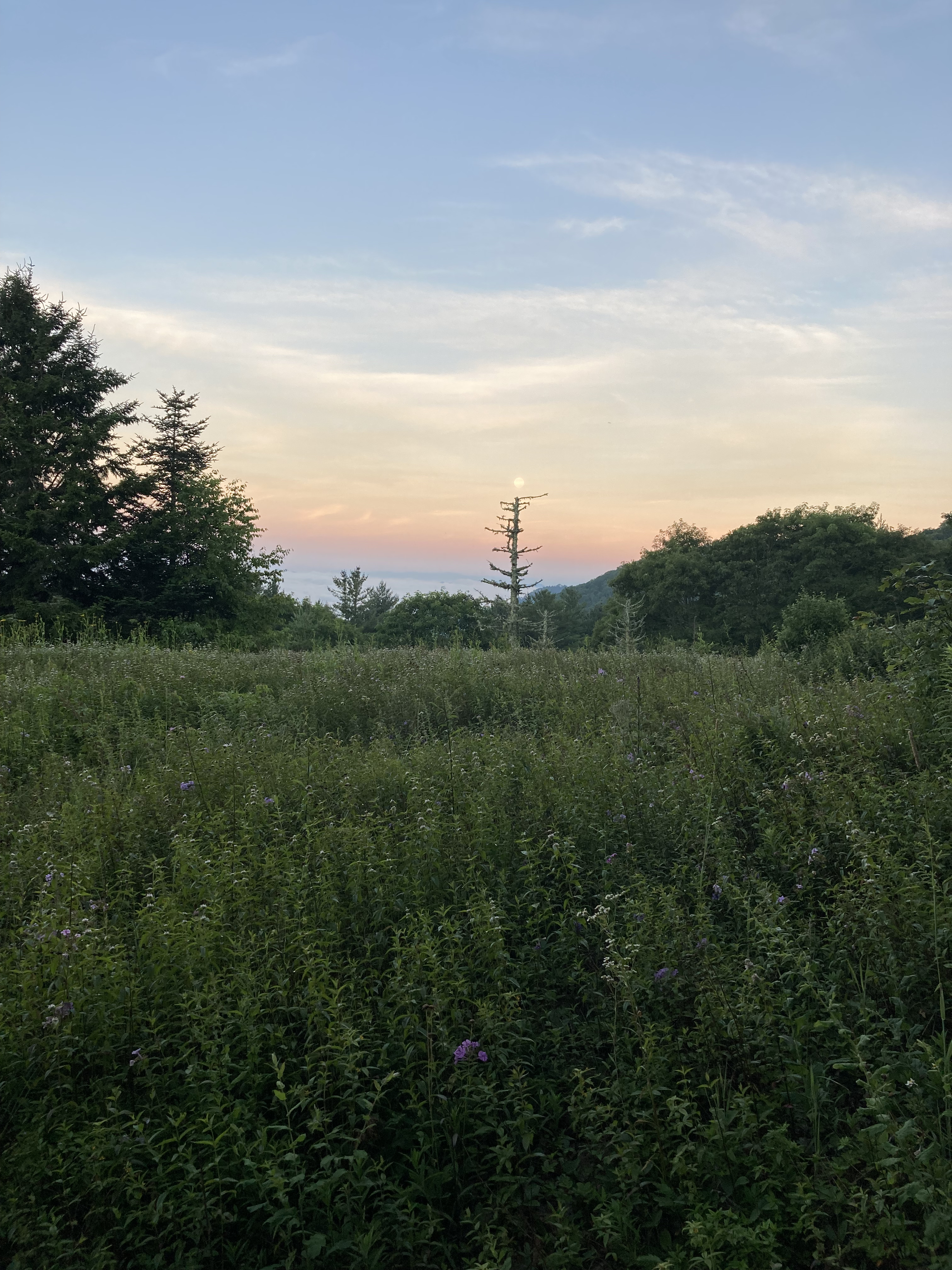
Of course the climb up to the ridge leading to Mt. Mitchell was relentlessly steep, but I took my time enjoying the switchbacks when they appeared. I stopped to fill up on water about a mile before breaking out of the woods onto a grassy meadow of fluff.
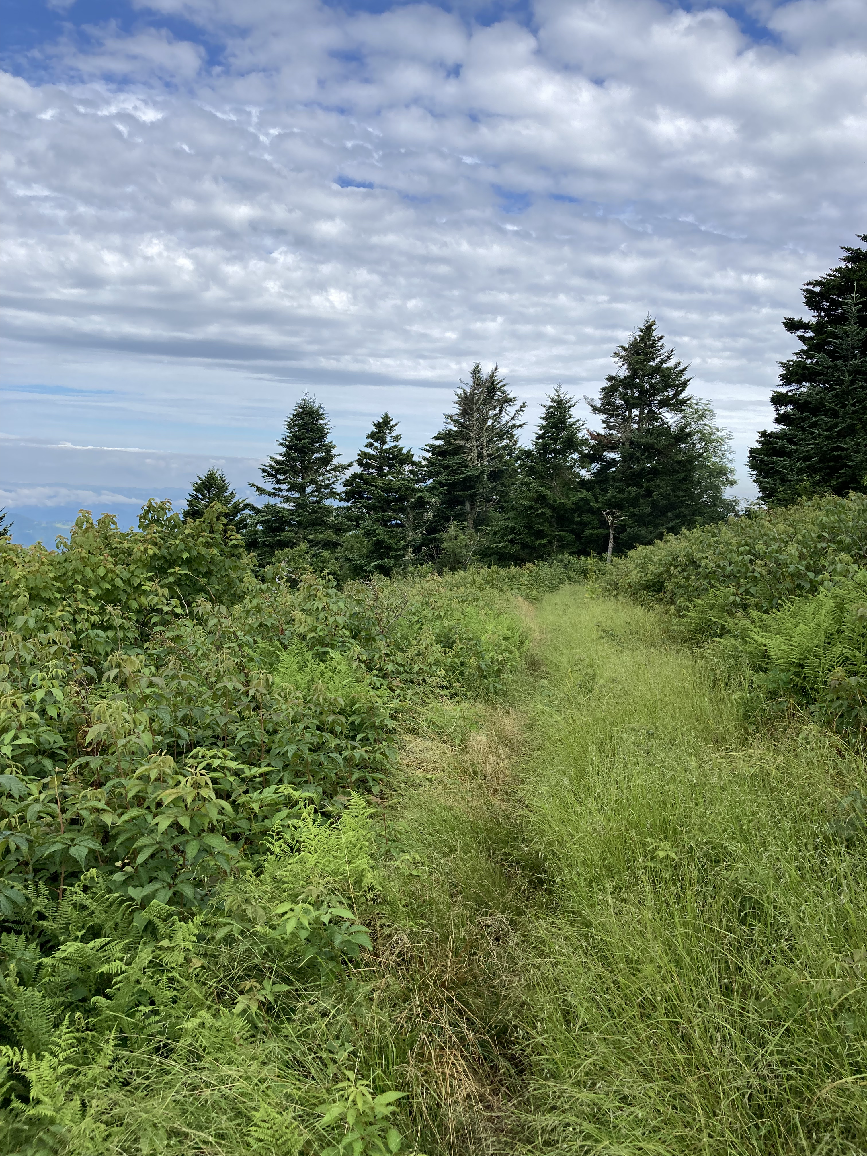
Wonder.
It was strange not to see the mountains’ rocky bones sticking out, as they are back home in the Whites, not covered, as these were, in verdant green. Somewhere in all that charming distraction, I drop my brand new Garmin inReach Mini in the weeds. It was an expensive purchase, and I feel sick that I’ve lost it on the first day. Also, the irony of not being to find the thing that is supposed to find you does not escape me.
When I realize it’s gone, I have a short pity party before trying to figure out what to do. Had I dropped it back at the water source? I’d have to go look, so, whimpering, I trudged one steep mile back downhill, only to discover the place clear.
I hack and slash my way back uphill, looking for the tiny device on both sides of the overgrown trail, when I remember its purpose: I had bought the Mini to let my kids know where I was, so I call the youngest, who happily picks up on the first ring.
What a good boy.
He texts me photos of its last data transmission, and I see it’s near a prominent rock called Horse’s Head.
Just the place when I realized it was gone.
Why hadn’t I looked around there first, before backtracking? Ugh. Yet, there it was, sitting in plain sight. The joy of finding it softens the frustration of those extra two useless miles.
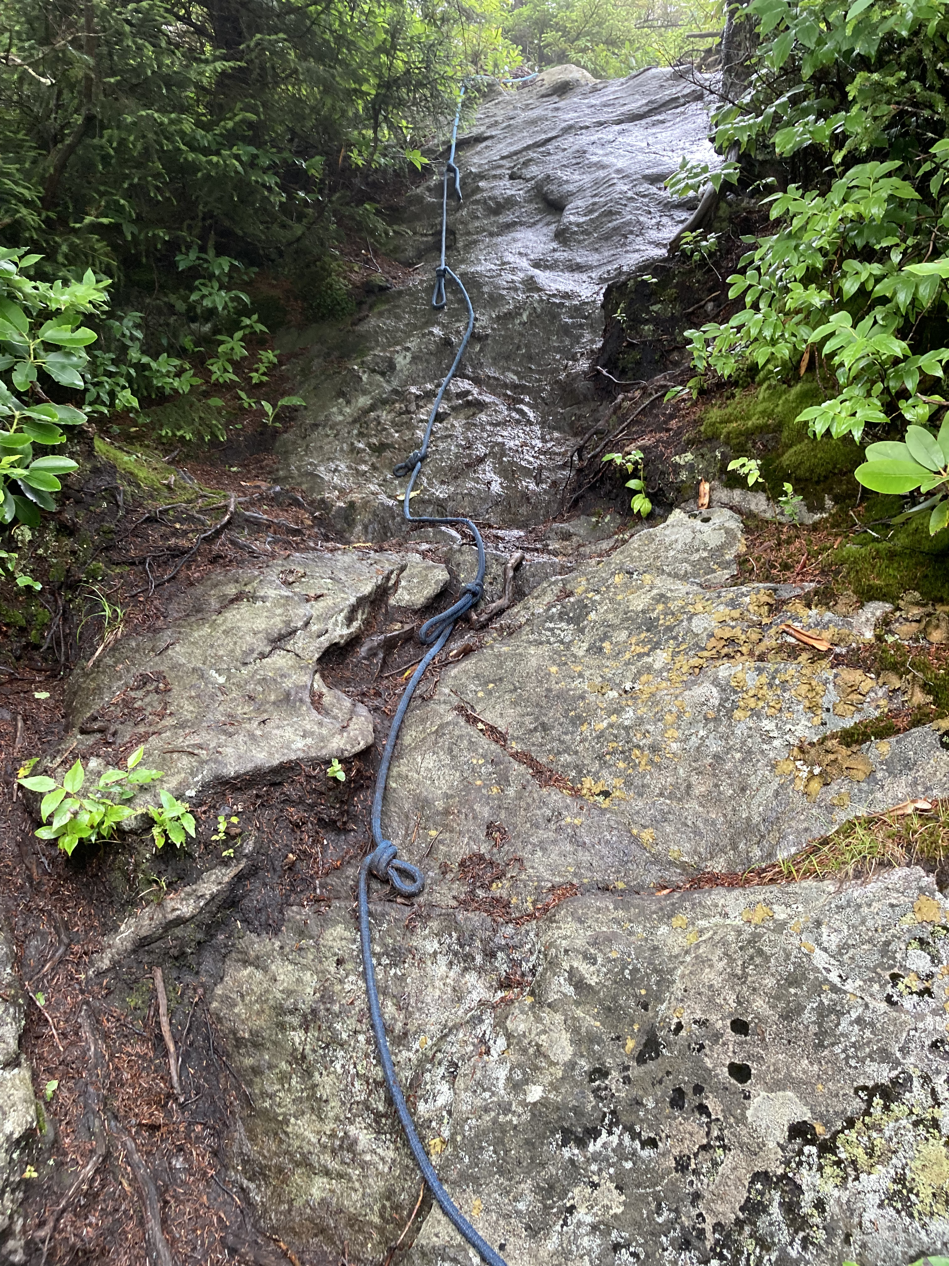
Attaching the Mini more securely to my pack, I hike on, worried that I might not reach the Mt. Mitchell concession stand before it closed. I was hoping to fill up my water and buy a treat-y reward, but there was nothing I could do but shoulder on. The going is rugged, with lots of gain and loss, and even some ropes to help on a few of the steeps.
I reach the Mt. Mitchell parking lot 15 minutes before closing and desperately ask an older couple packing up their picnic where the concession stand is. I sprint up some stone steps and arrive, breathless and ready to eat.
The nice young lady behind the counter charges my phone while I sit and enjoy a club sandwich. The older couple pulls up and trail magics me some ginger ales and chips, so it’s a full-on feast as I watch the first storm of the trip skip over the pavement. Soon, torrents of water are splashing in under the overhang where I’m sitting on the bear canister; nothing to do but wait for a potential opening. Concession stand lady gifts me an ice cream.
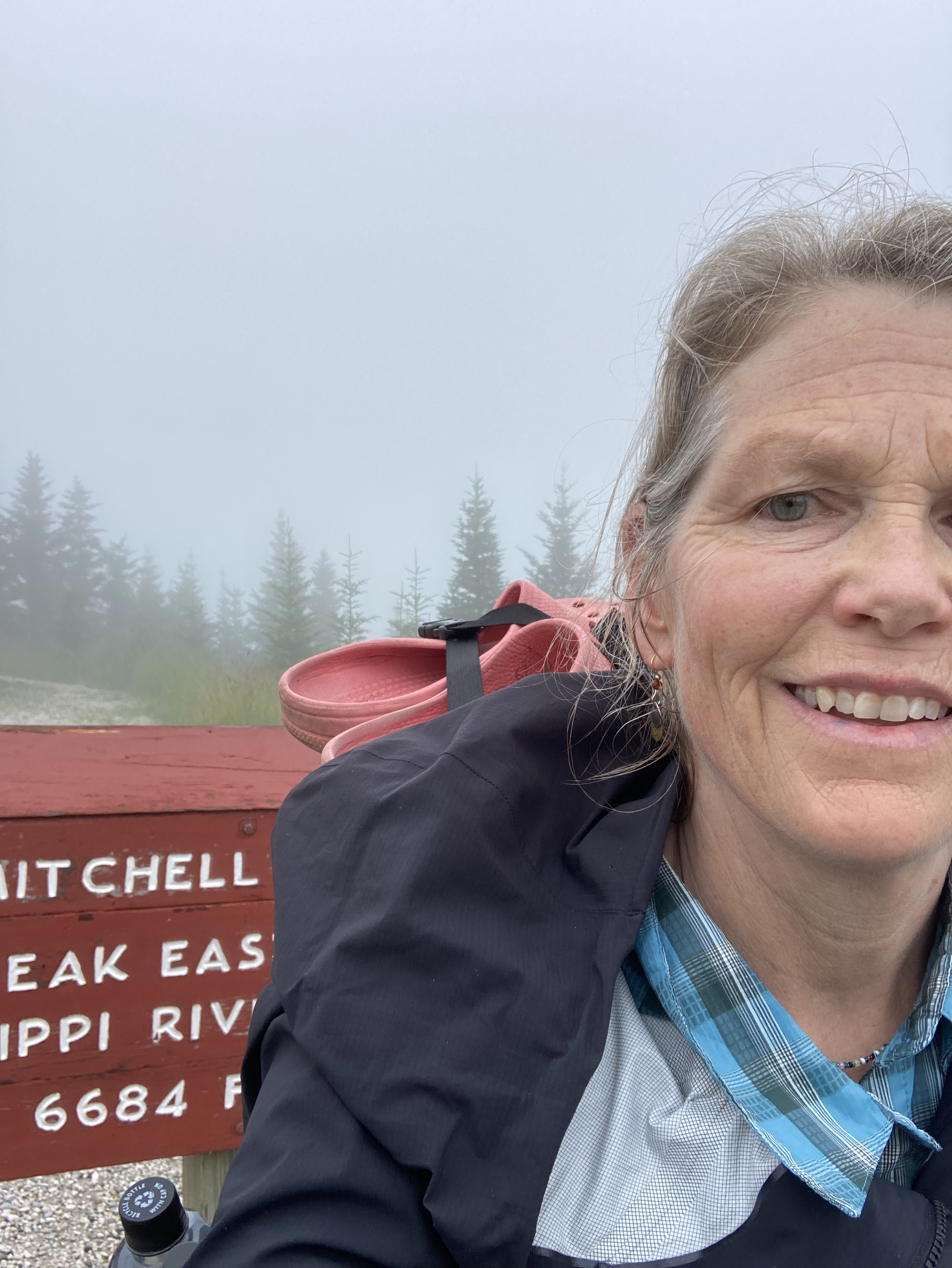
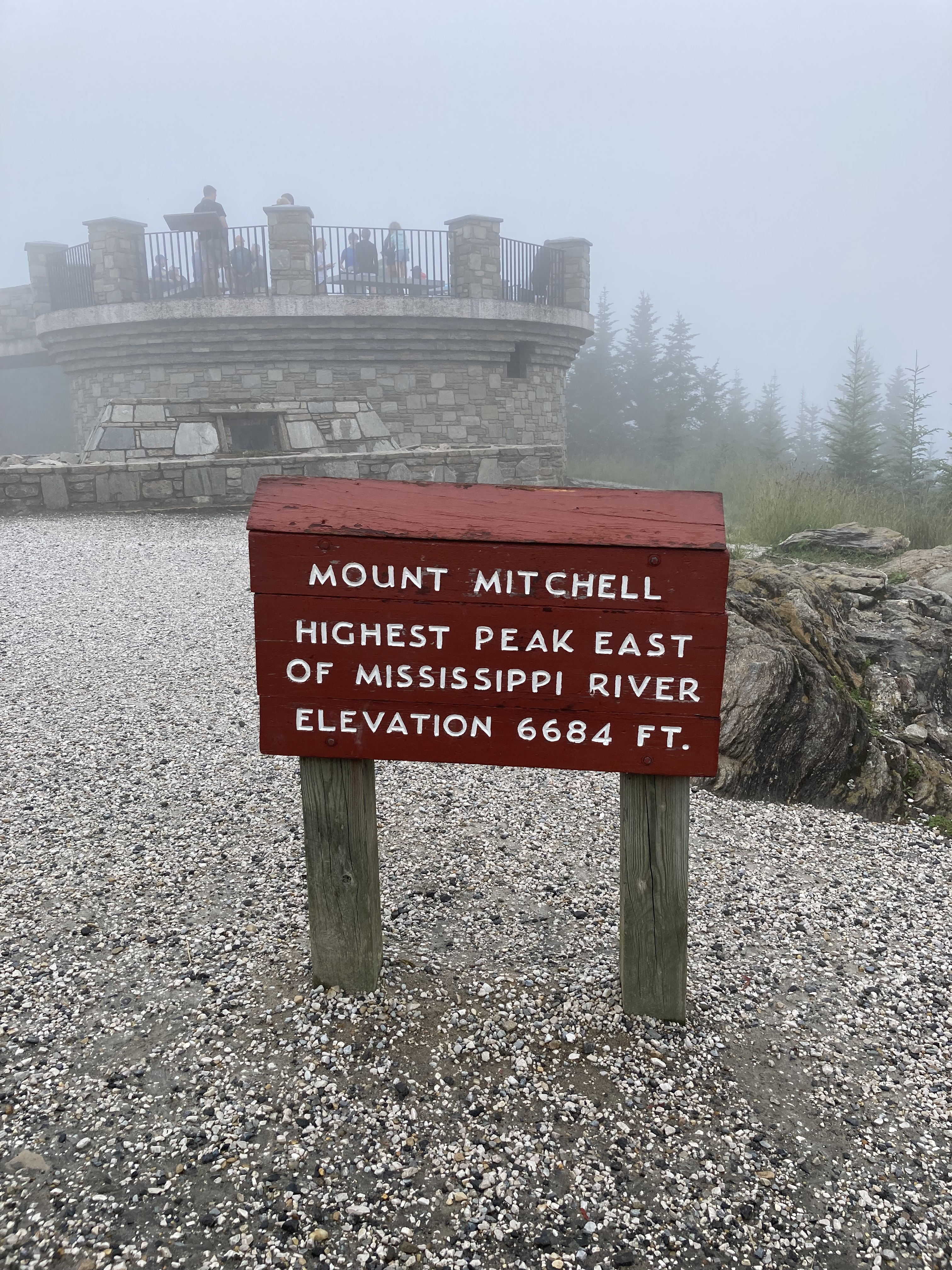
Soon, the rain subsides and I tag Mitchell, then head a few miles downhill to spend my first night on the Mountains-to-Sea Trail, which has replaced the BMCT at the park. Over the next week, I’ll follow the MST for 155 miles to Clingmans Dome, the highest peak on the AT; until then, I tuck into my tent just in time, as the skies open again and lightning cracks the night.
Day 1: Carolina Country Inn to stealth camp, Commissary Trail – 18 miles
Only One Pisgah
A rhythm develops over the next few days. Climb, descend, climb, descend. Storm, clear, storm, clear. Look for a potential creature comfort up ahead and set sights to reach it.
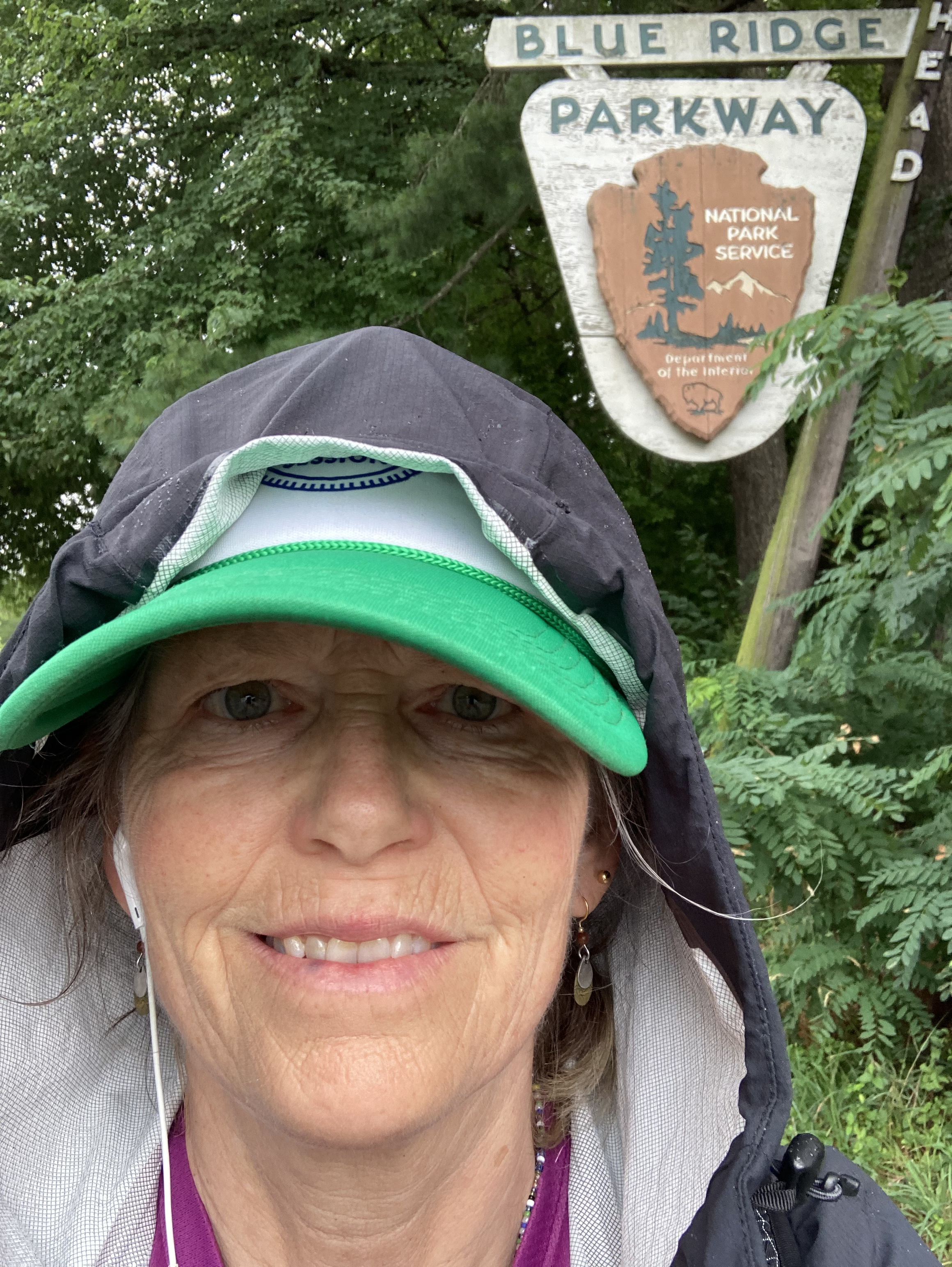
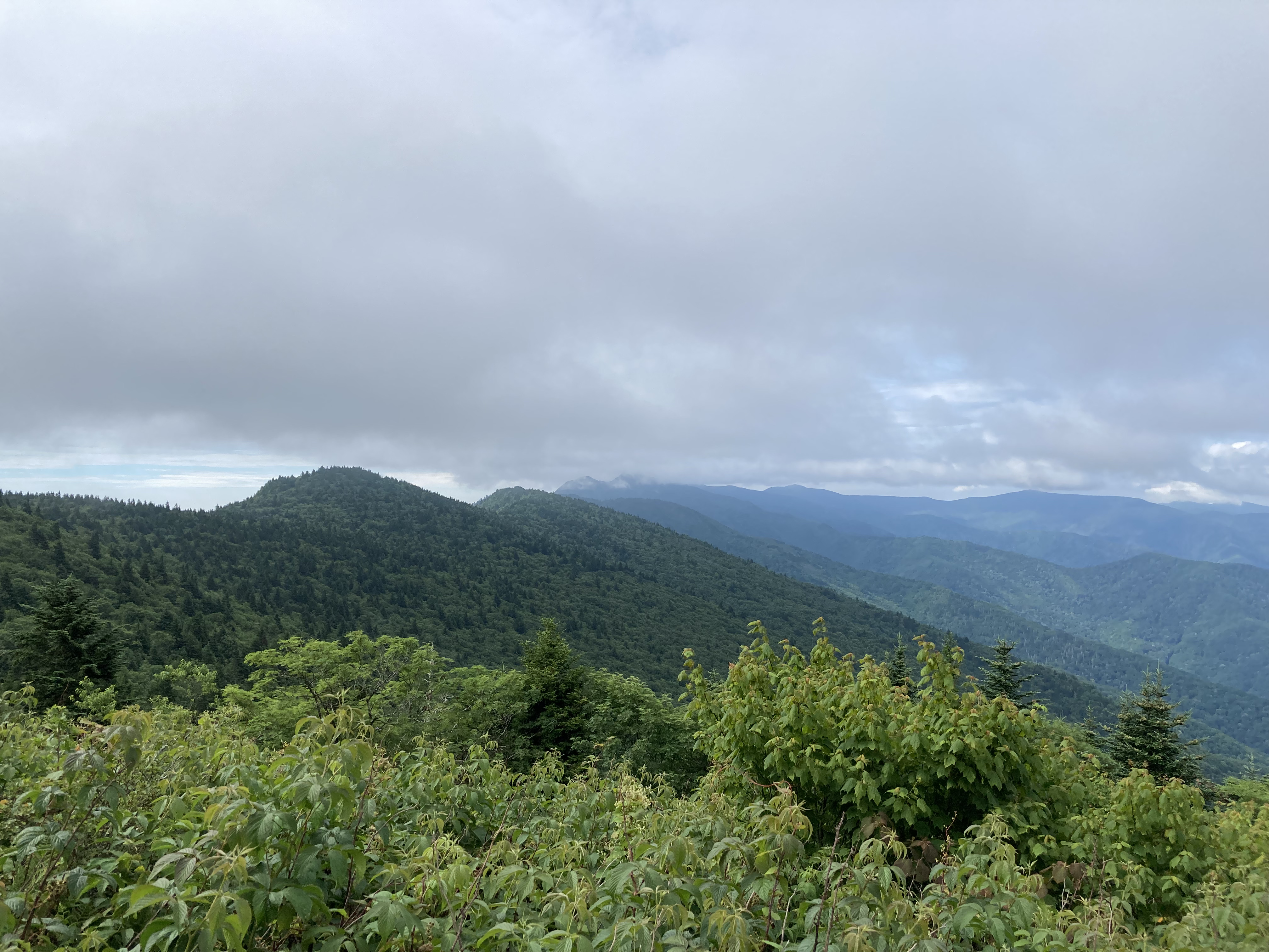
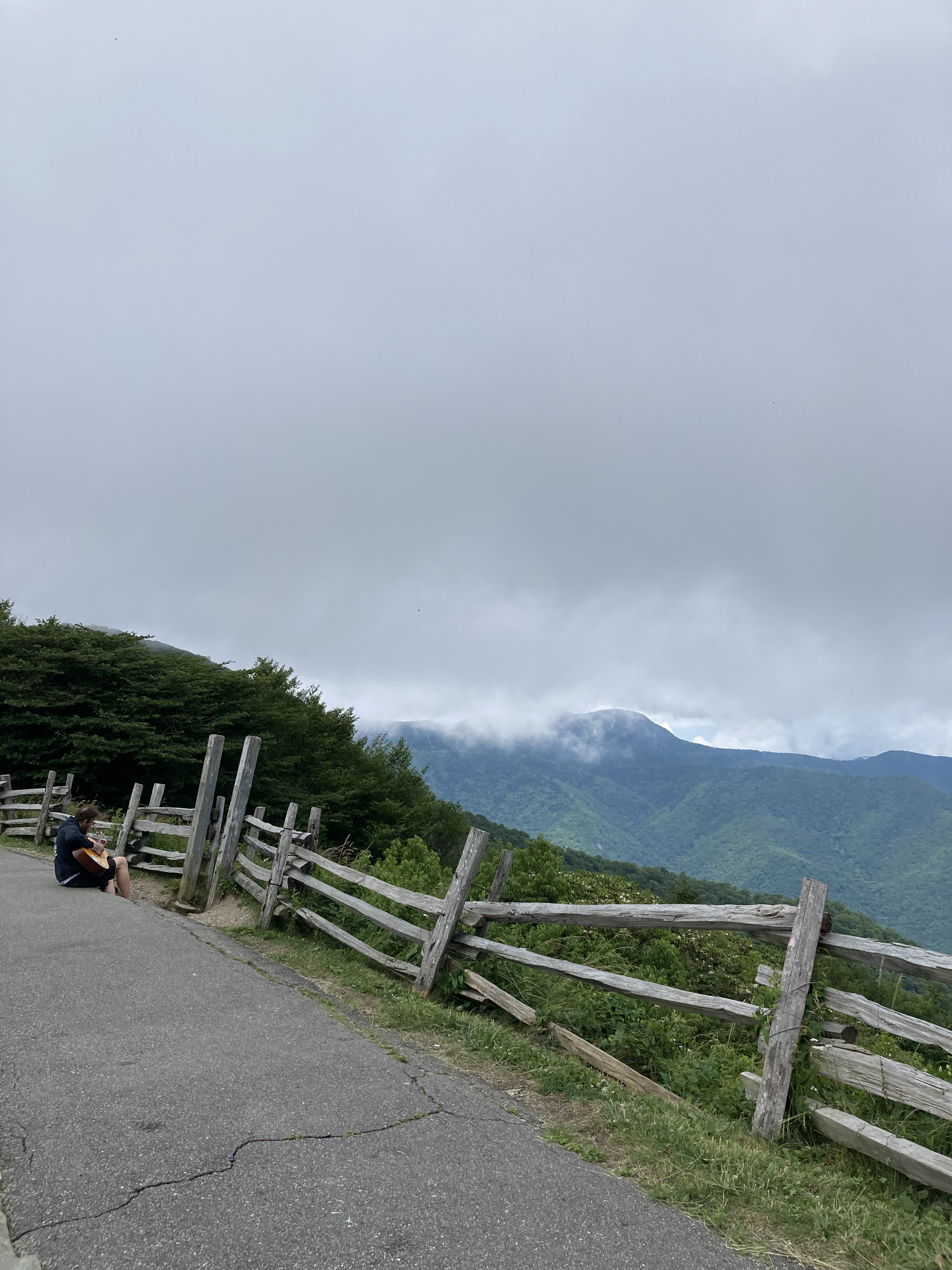
The MST parallels the Blue Ridge Parkway for much of this section, so there is a frequent popping out of the woods onto busy “overlook” parking lots with stellar views one cannot find when one is wrapped in the trees.
Also, snacks and water, though the latter is from containers that the workers must themselves bring up to their overlooks, since there seems to be no running water on the Parkway. The generosity of these folks warms my heart as they happily fill my bottles from their private stashes, freeing me from having to filter later on.
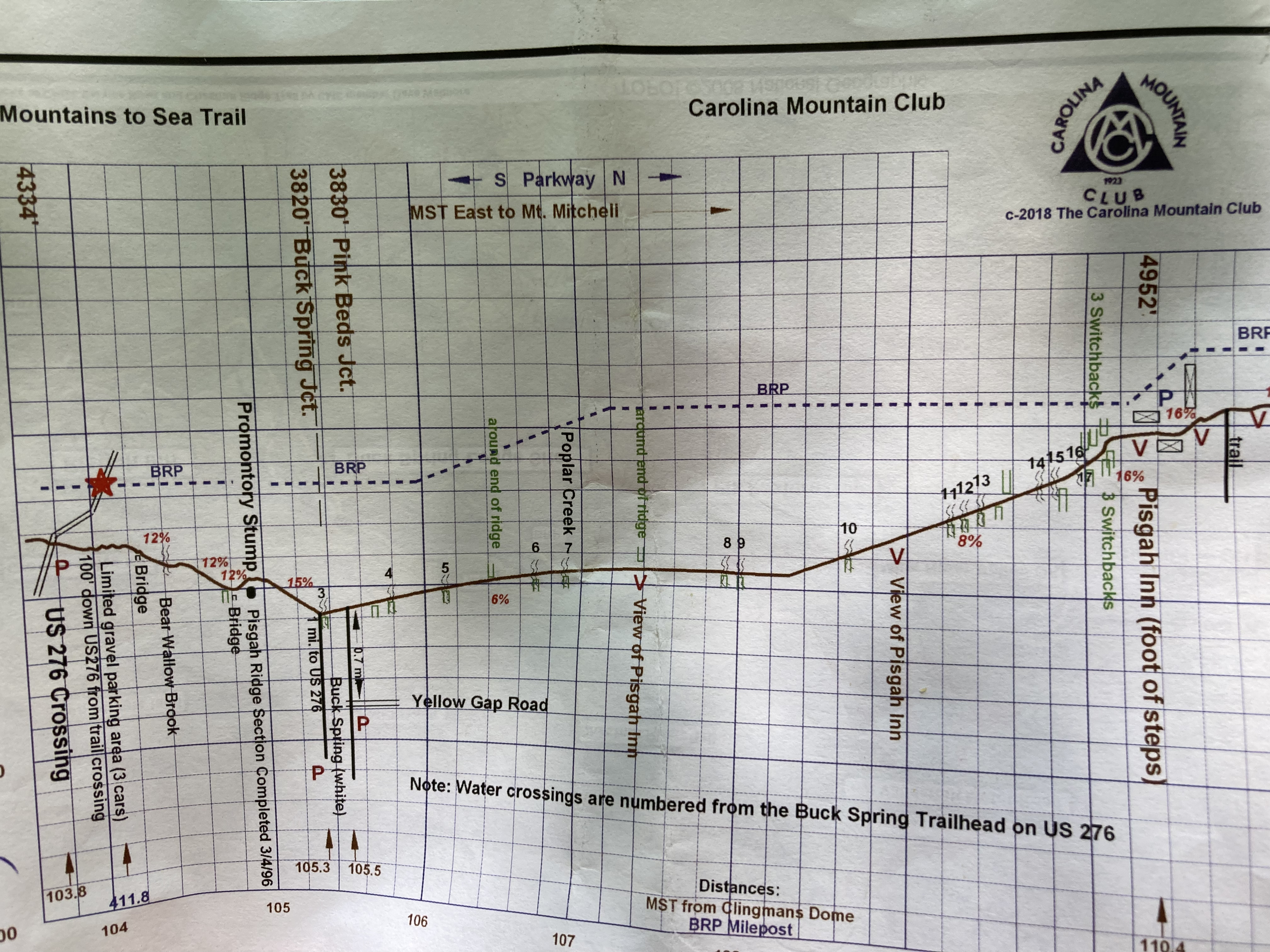
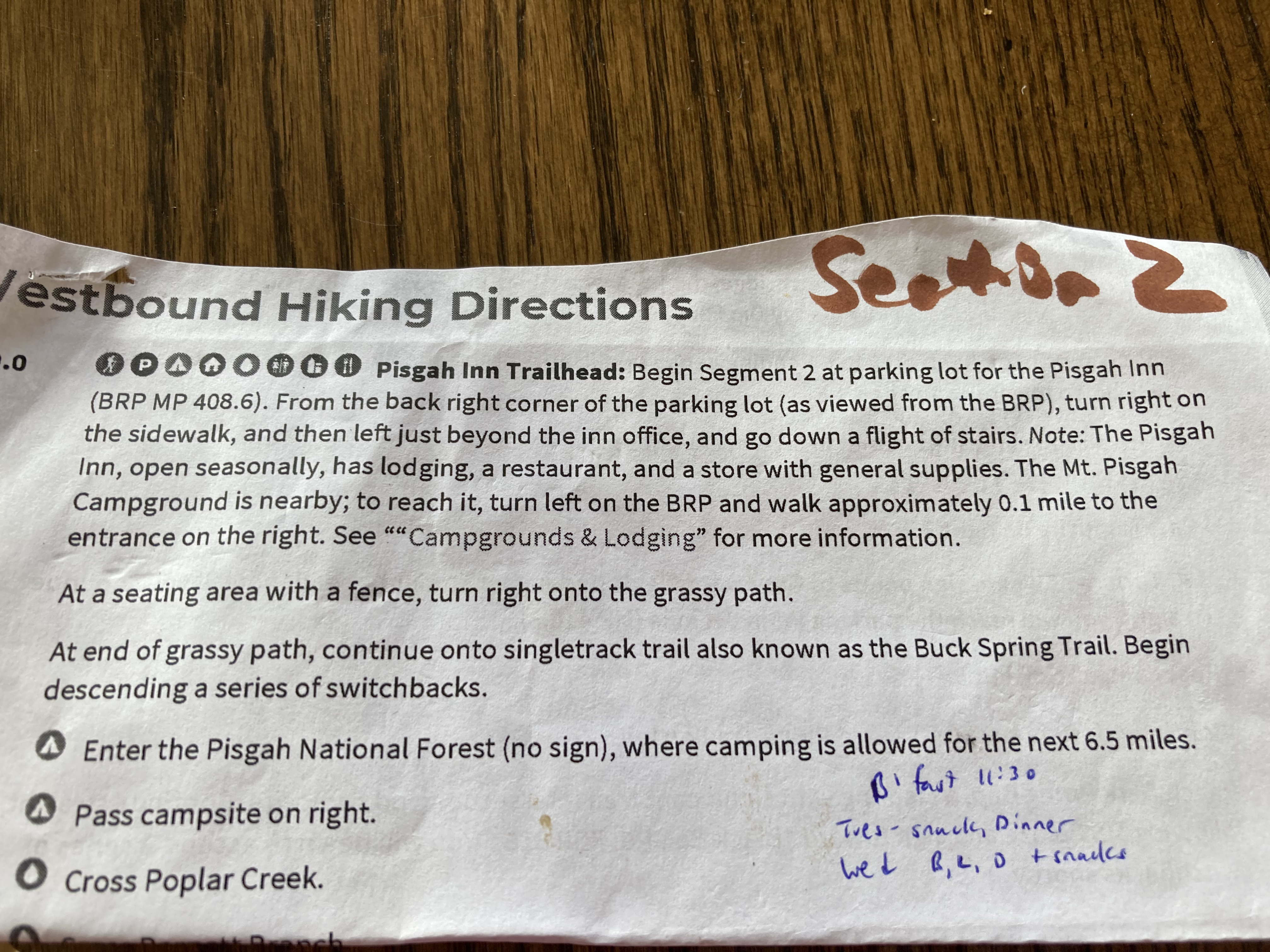
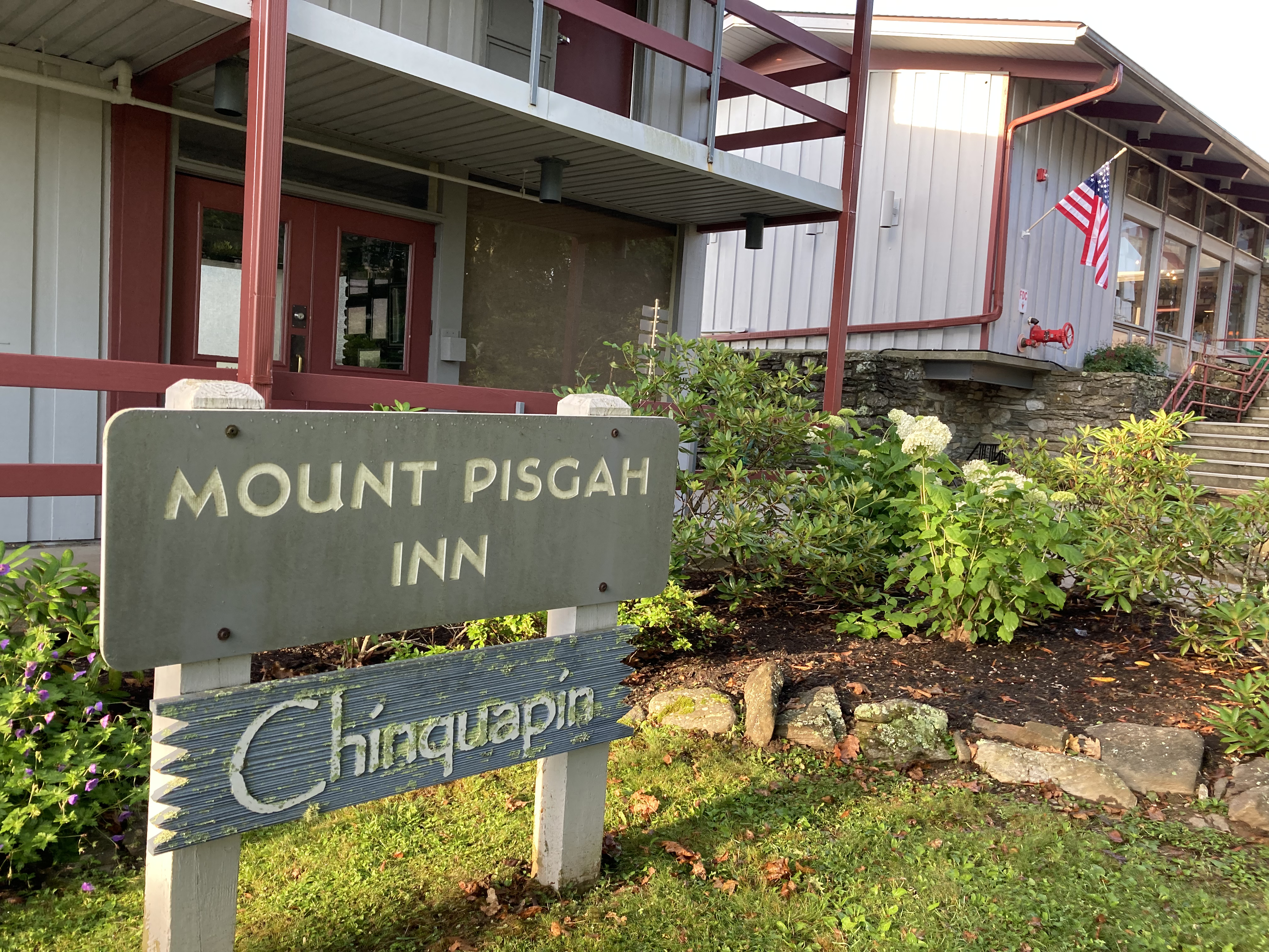
On day 4, I realize if I hustle I might make it to the Mt. Pisgah Inn in time to snag a room. Situated right on the trail, the Mt. Pisgah Inn is one of my resupply stops; why not also stay a while?
The day is hot and my mind is melty as I scan maps and data pages. Looks like two major Pisgah mountains to climb before the descent to the Inn. I bury my head and plod up the first, “Little” Pisgah, topping off at 5,283 feet with seemingly thousands of feet of elevation gain.

Shower I tell myself when the feet start to slow. Dry your wet gear. Hot supper.
It’s 4:30 and almost 20 miles into my day when I reach the summit of Little Pisgah, tearing off my hot pack and collapsing onto a rock. Must I do that again? I whine to myself, pulling out the maps. Can’t.
Let it be said that when wearing my contacts, as I do on most hot trail days, the fine print of things, like elevation profiles and data points, is oftentimes hard to discern. So I am surprised and delighted when, squinting, I see only one Pisgah that must be climbed before reaching the Inn.
Only. One. Pisgah. And I’m sitting on top of it.
Hurray!
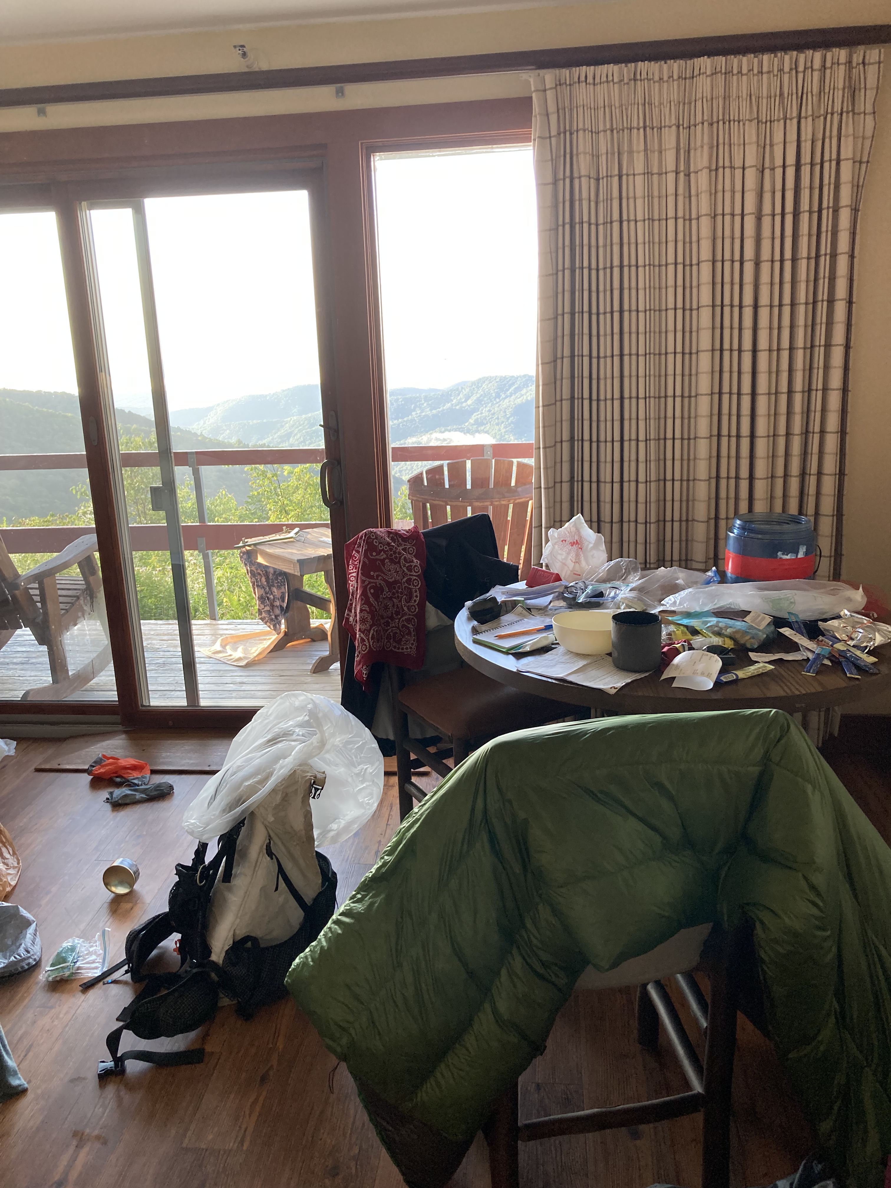
Game on. I roll the last 1.9 down Little Pisgah and check into the Inn with plenty of time to rest my feet, explode my gear all over the room, and reserve a spot for dinner.
Later that night, for only the third time since he died, I dream of my son.
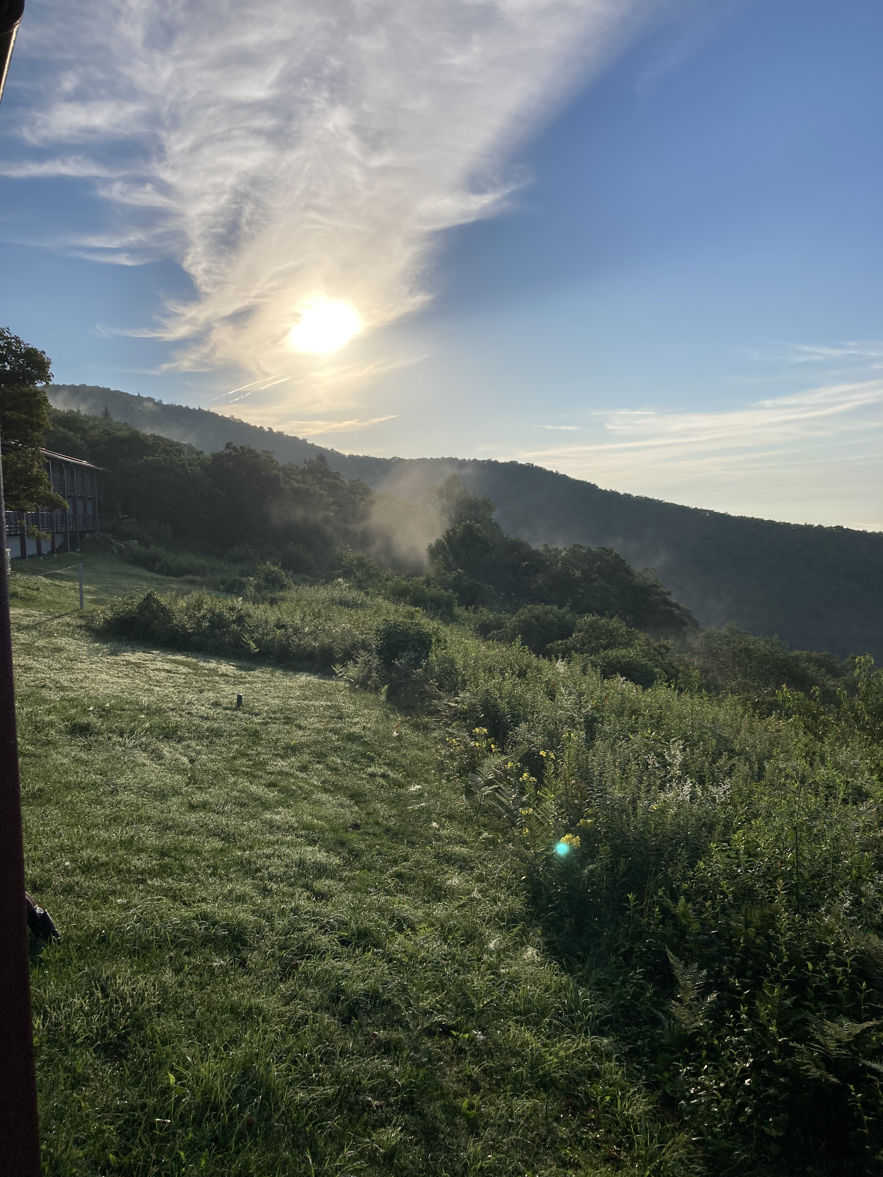
Sunrise the next morning is glorious.
Day 2: Stealth camp to Tanbark Ridge Tunnel Trail – 22 miles
Day 3: Tanbark Ridge Trail to stealth camp north of I-26 bridge – 21.5 miles
Day 4: Stealth camp to Mt. Pisgah Inn – 21.4 miles
Second, Third, and Fourth Lost
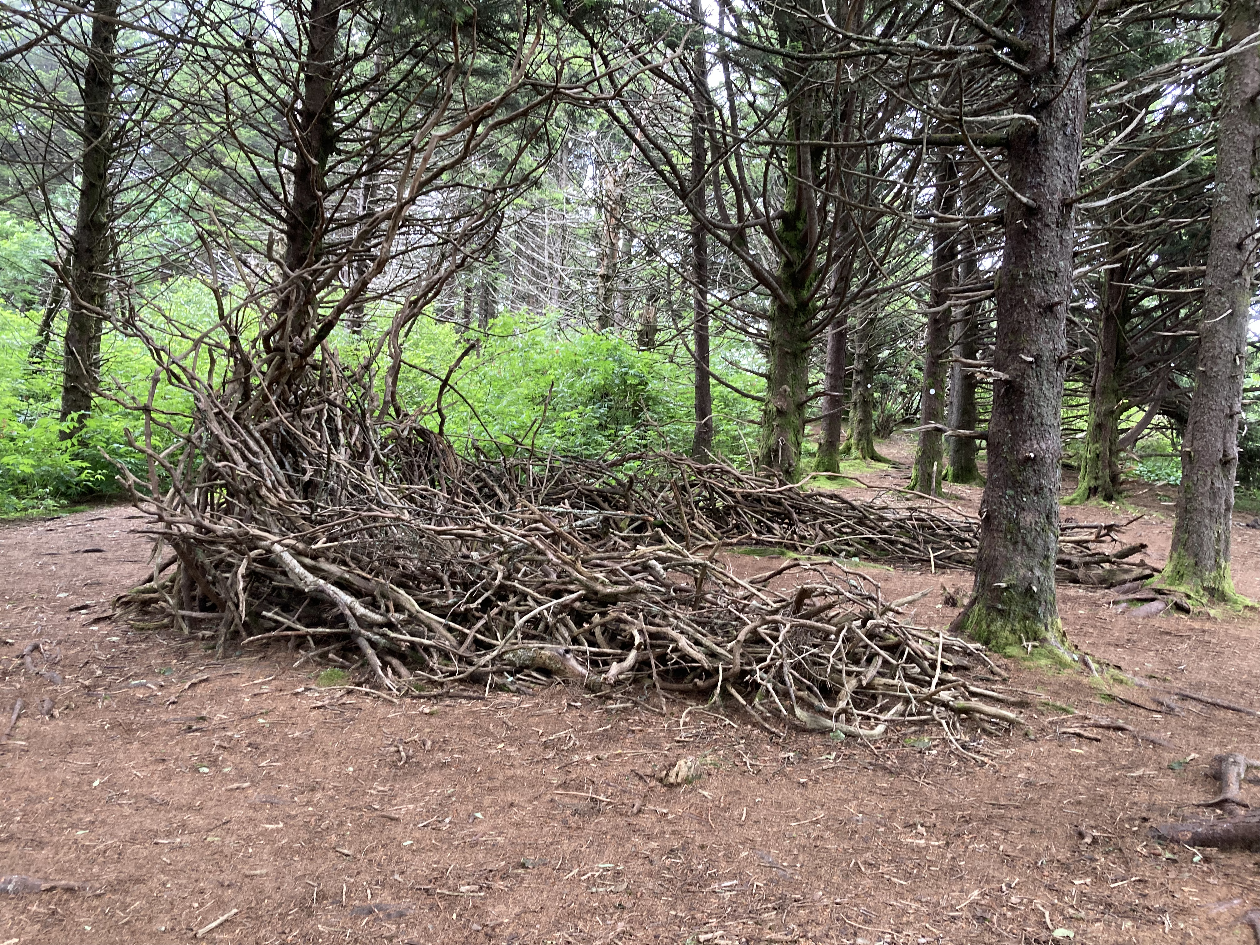
The next stretch out of Pisgah passes through some remote wilderness where camping is prohibited due to aggressive bear activity.

One of the areas is ominously called Graveyard Fields. It does have a spooky feel about it, and I’m eager to hike through and put it behind me. Other than some trail runners a few days back and the crowd at Skinny Dip Falls, I have seen no one else out hiking. It’s not what I had expected, and I really would have liked some company through this section.
At the end of a long climb out of Dark Prong Gap (who names these places??), I reach a rocky outcropping and follow what looks like the trail off to the right. After a few minutes, the “trail” becomes a maze of herd paths, each dead-ending into something marshy and decidedly not-trail.
What to do?
Go back, always go back, to the last place you know you were right, so after wasting a precious 45 minutes, I return to the rocky outcropping and see what I missed the first time around: a faint white blaze on the rocks below to the left. Sigh.
.8 miles more leads me to a cushy pine needle site to tent with pretty views in the morning, small concessions for the frustration of getting lost again.
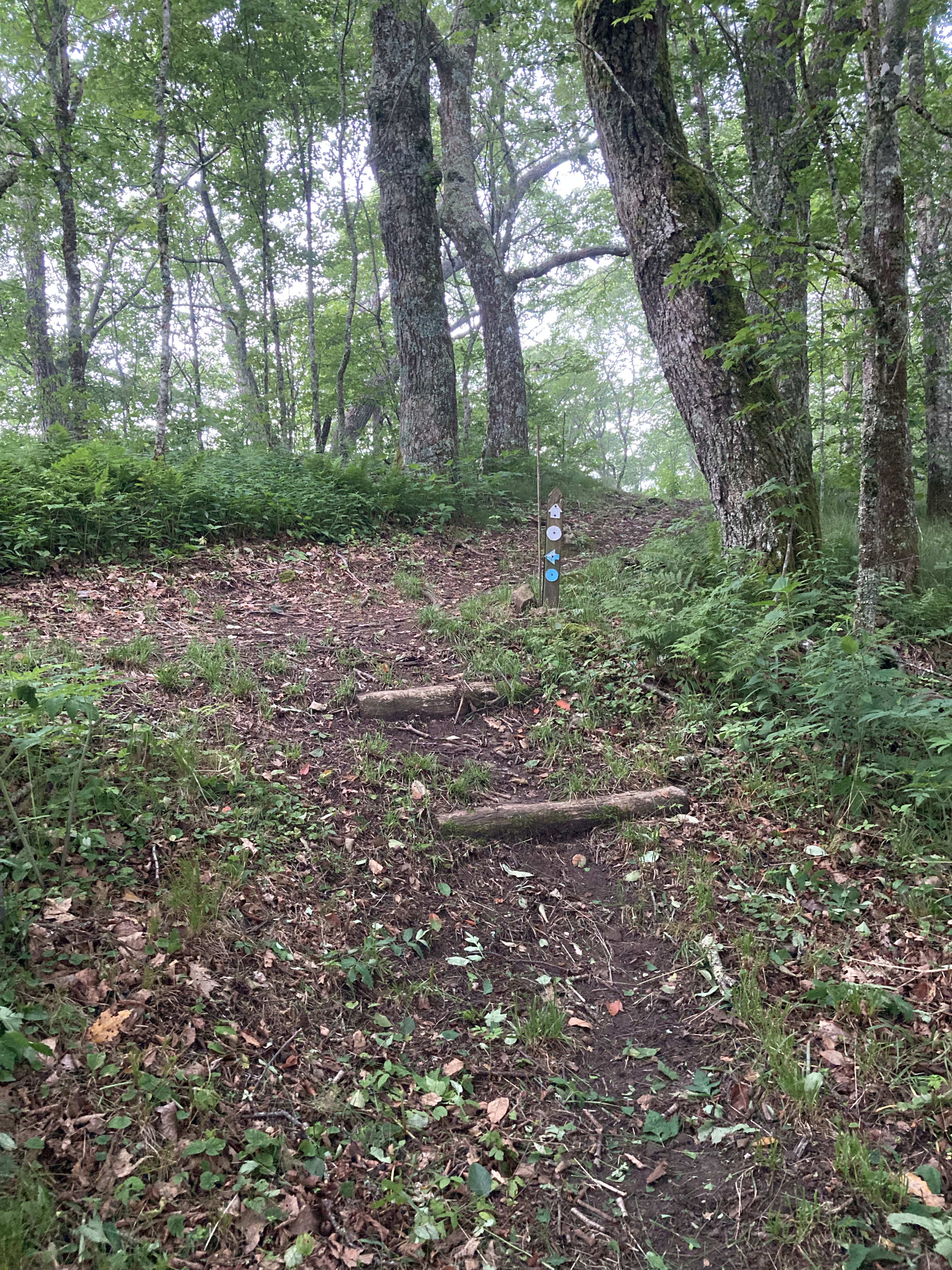
The next day, the MST enters the Middle Prong Wilderness where (according to the data pages) “due to US Forest Service regulations, the trail is not blazed…and can be difficult to follow.” Great.
Having done my homework and studied the map and turns the night before, I march somewhat confidently into this 4.5 mile stretch hoping to come out the other side.
Surprisingly, I meet a group of young campers who are headed in the opposite direction, and we compare notes on terrain and intersections. Somewhere along the way I hit 100 miles, which feels pretty good.

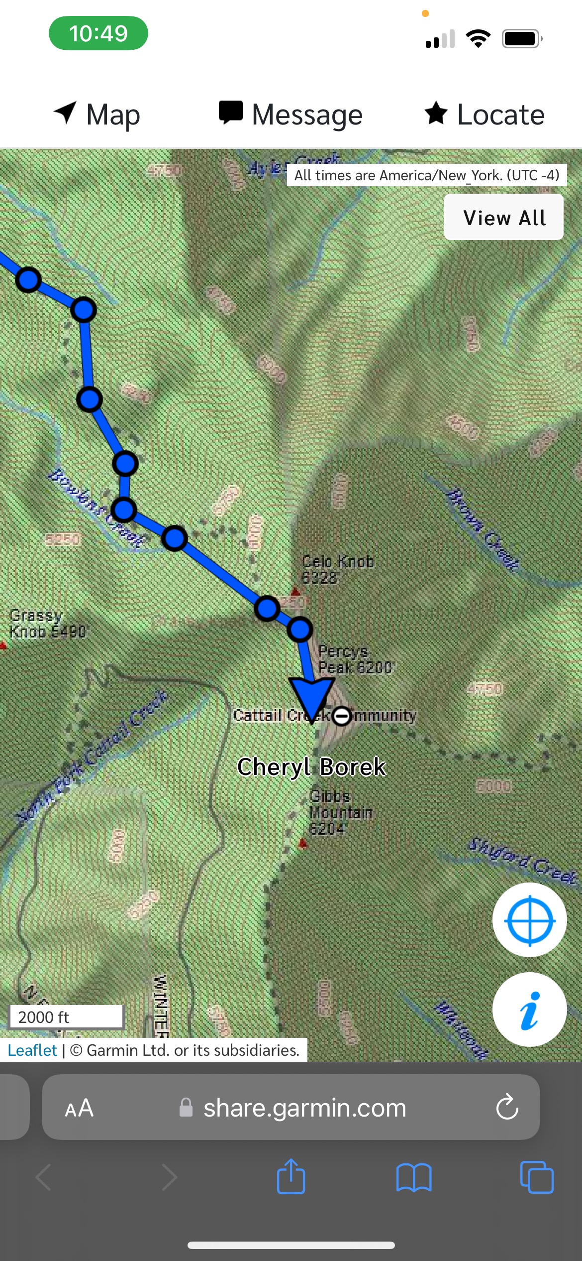
Everything is going well. The descriptions on the data pages are accurate and obvious and I’m starting to think happyfuzzy thoughts when the inevitable happens: I reach a three way intersection with no description of which way to go in the data. You can see it below – it’s that big black dot just above the Mt. Hardy Trail.
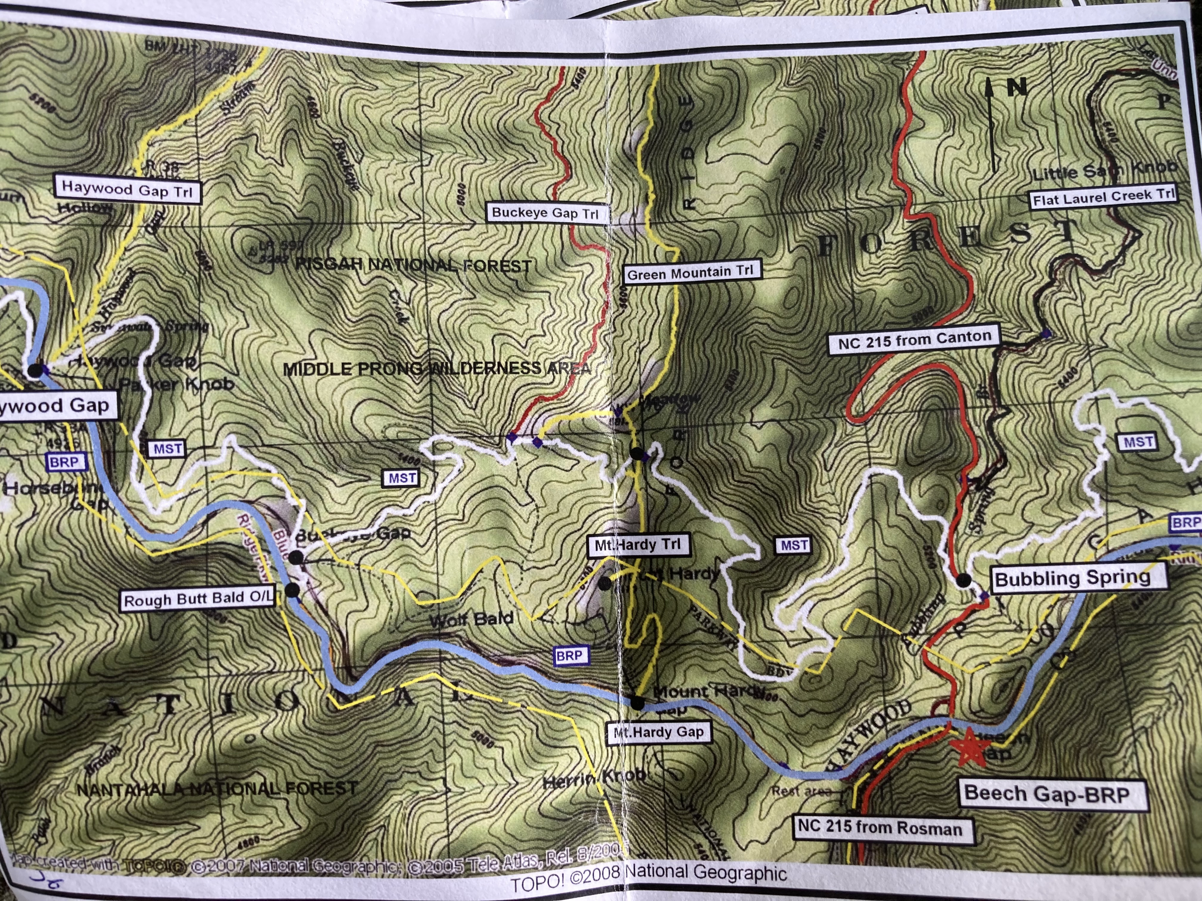
Who puts a dot right over the very details one needs to figure out which way to go? I explore each branch, trying to think like the white MST line squiggling across the page. I call the son again, but I’ve set the Mini to log every 4 hours, so there’s no relevant recent data to mine. He talks me off the ledge, however, and I take an educated guess and start downhill.
When I finally reach some logs over a boggy area, accurately described on my pages, I relax a little. But it’s not until I see that sign signaling the end of the wilderness area and that first white marker that I finally feel like I’ve made it.

Of course this latest lost prompts the mocking of the fam. I must admit the youngest is right, however; it was me who always got us lost when we hiked the AT all those years ago.
The last lost of this section happened under cover of dark, so I feel a little slack is in order. After one of the most beautiful mornings of the trip and another night spent stealthing right on the trail, I set my sights on my next resupply in the town of Cherokee.
To get there, I’d have to follow the trail in and out of the woods as it danced with the BRP up to Waterrock Knob Overlook, the highest on the Parkway at 5,820 feet. The day would end with a series of gravel and dirt roads, culminating in a 7.7 heat-rash of a descent on the BRP itself: 23.4 miles to the turn into Cherokee plus some bonus miles to get into town.
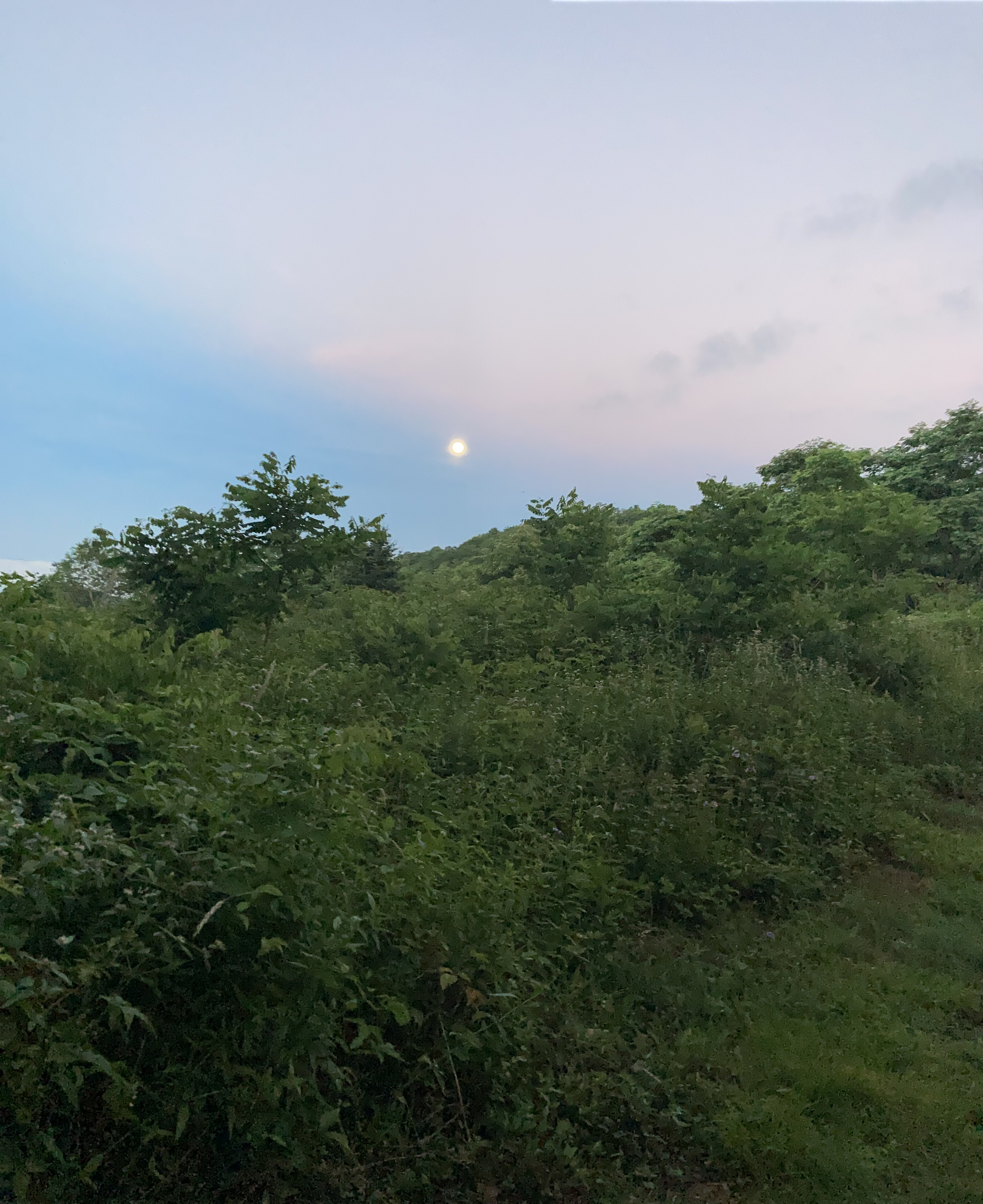
I get up real early.
The moon was out as I emerged from the forest to the first foray onto the BRP.
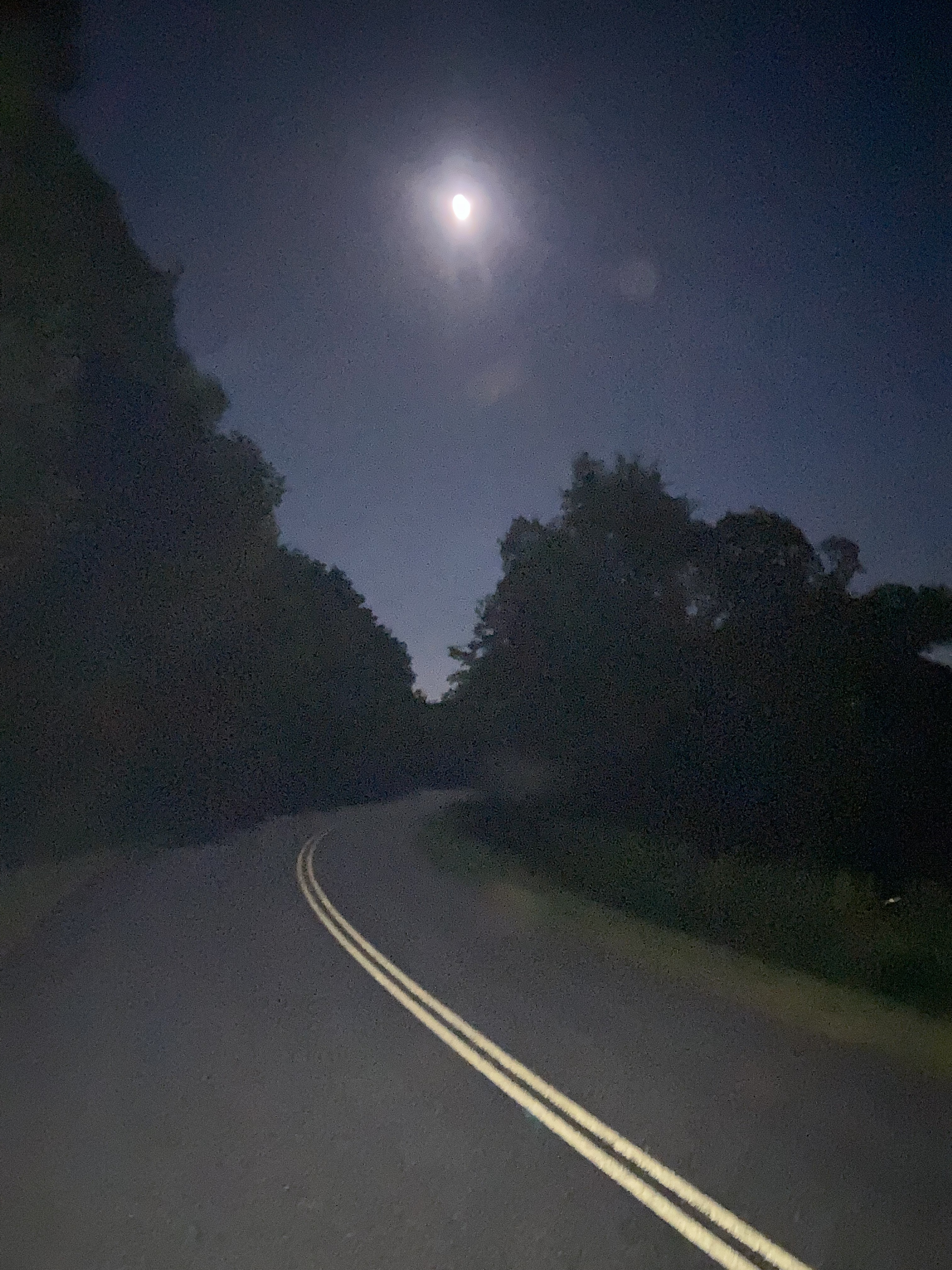
A short hop on the pavement and I’m back in the woods for a 2+ mile parallel of the BRP. I walk for a while, answering age old questions, filling my water bottle, and taking off my pack to tuck my coffee mug into an exterior pocket.
I’m puzzled when when the trail emerges out onto the road again, way too soon. I look right and left, recognizing the very landscape I had left not a half hour before. How could this be?
And yet, it was. Somehow, in grabbing water and putting away my mug, I had turned back the way I had come and retraced the very steps I had just hiked. I am surprisingly calm accepting this turn of events. Extra miles on an already long-mile day. For a moment I am tempted – so veryvery tempted – to just hike on the road up to Waterrrock Knob, but this is cheating and I am not a cheat. Instead, I gird my loins and head back the way I came, again, on-trail, and try to find the light in this self-inflicted darkness.
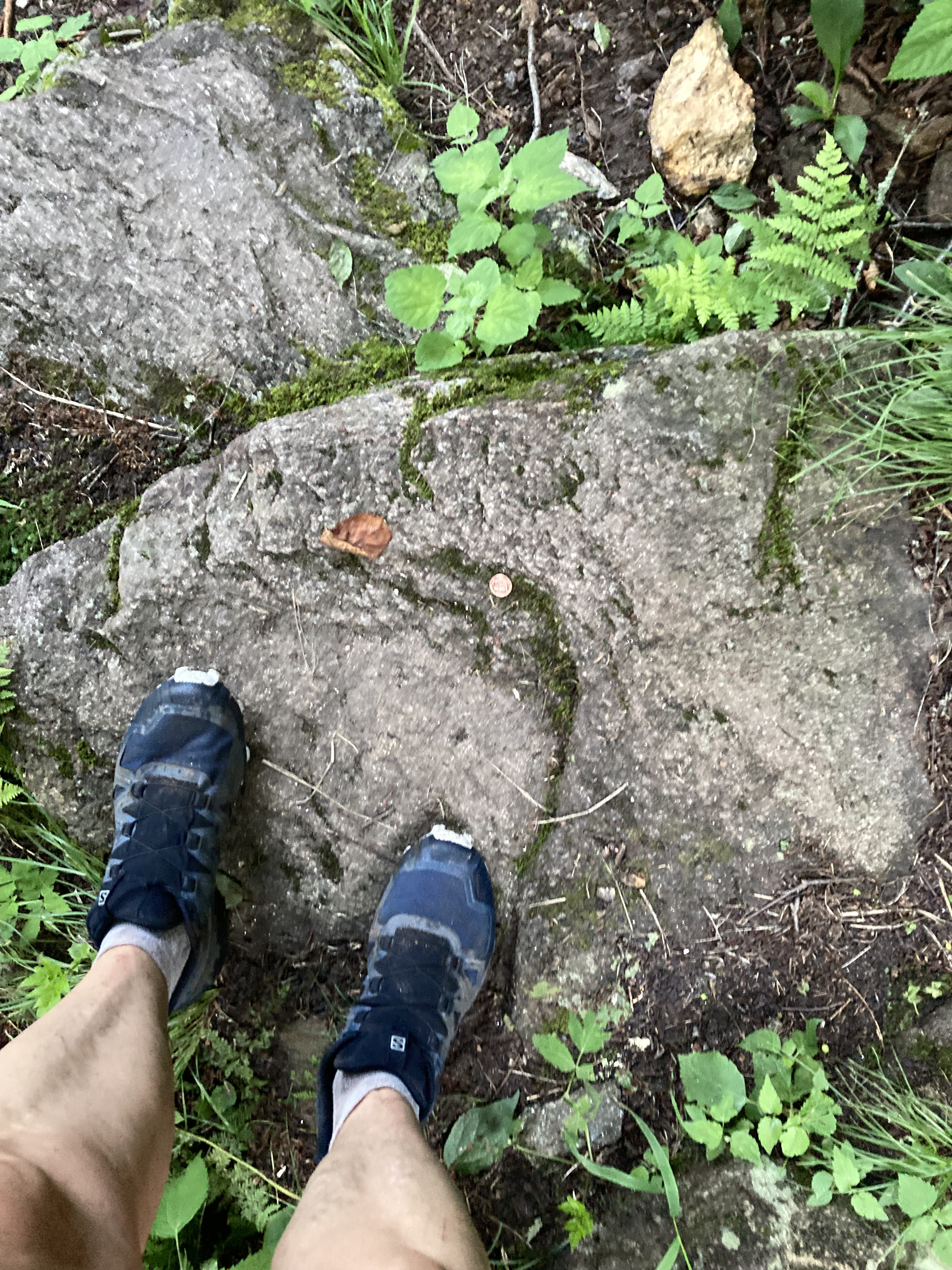
Views appear, and a penny where no penny should be. Pennies always remind me that God is watching with his sense of mercy and humor, even when I don’t always get him. Find the light.
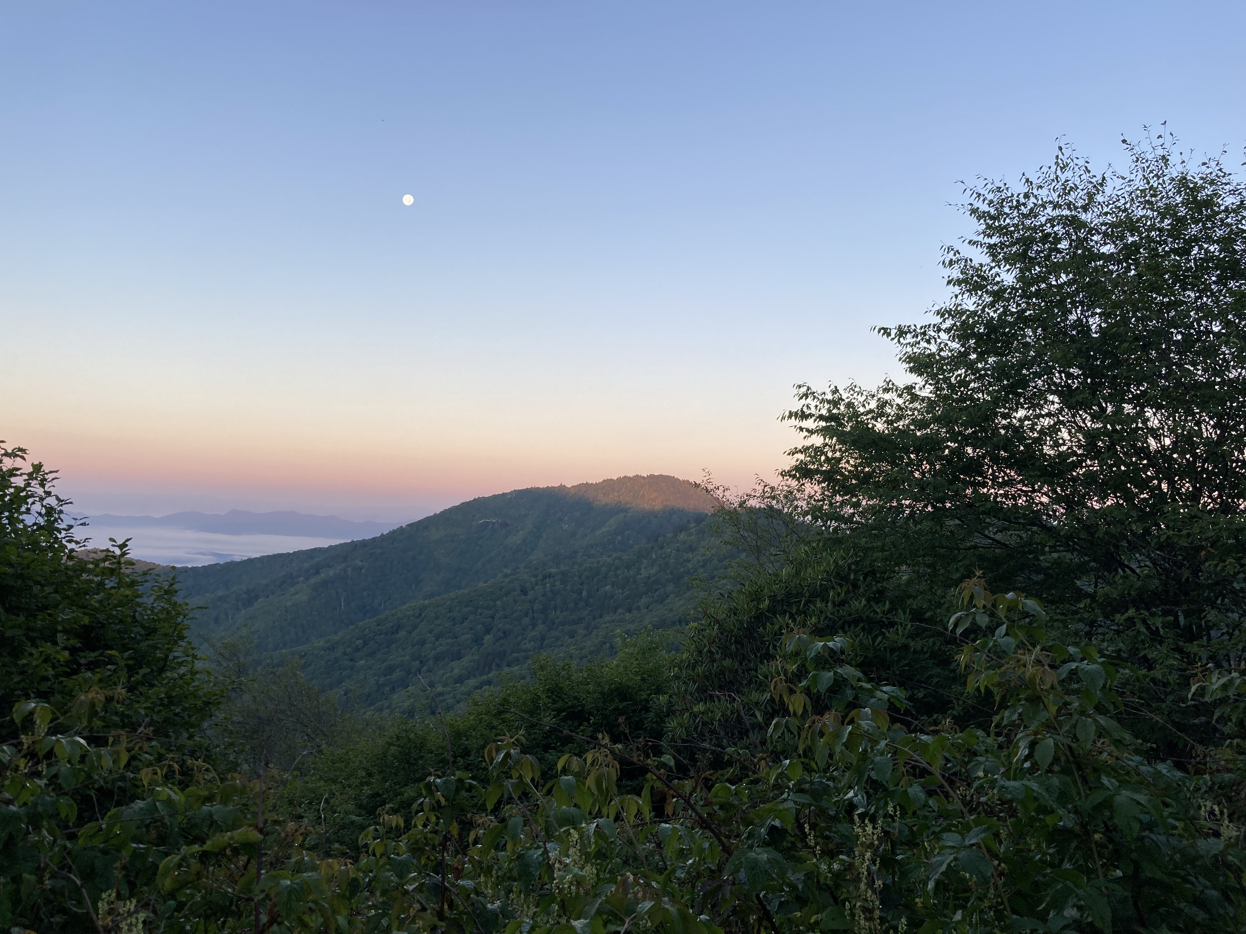
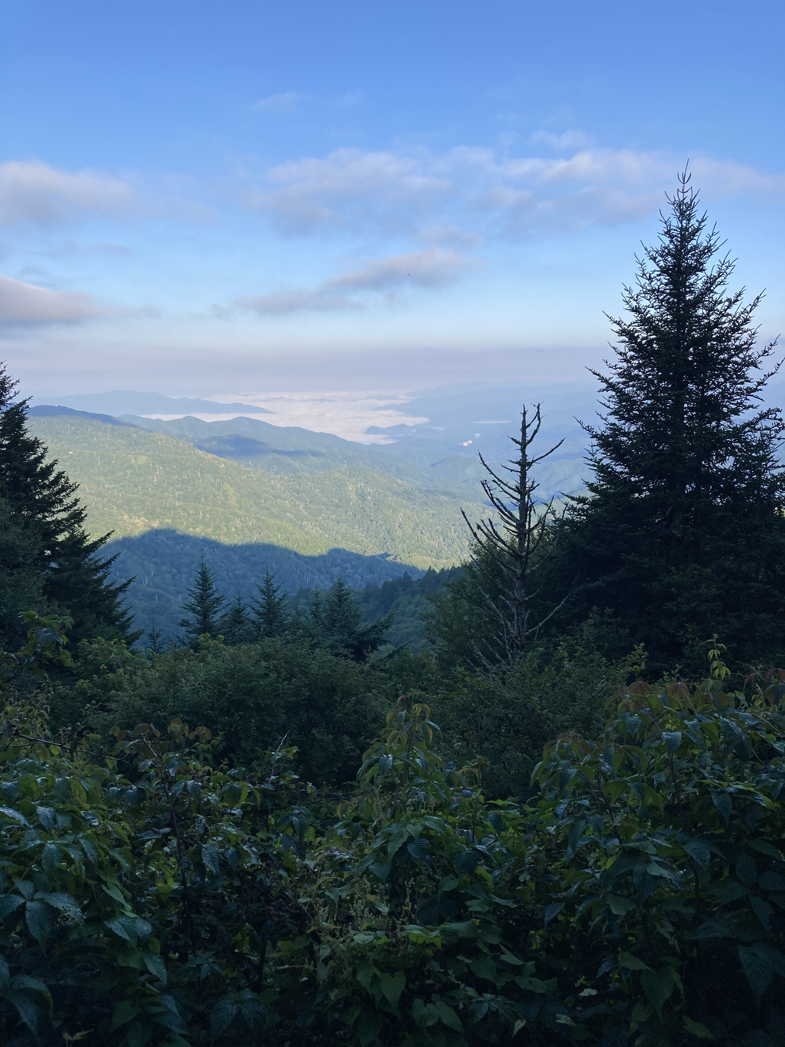
Waterrock Knob is fabulous, completely deserted at this hour. I can see all the way down to the pink Cherokee Casino and off into the yesterdays I’ve already hiked.

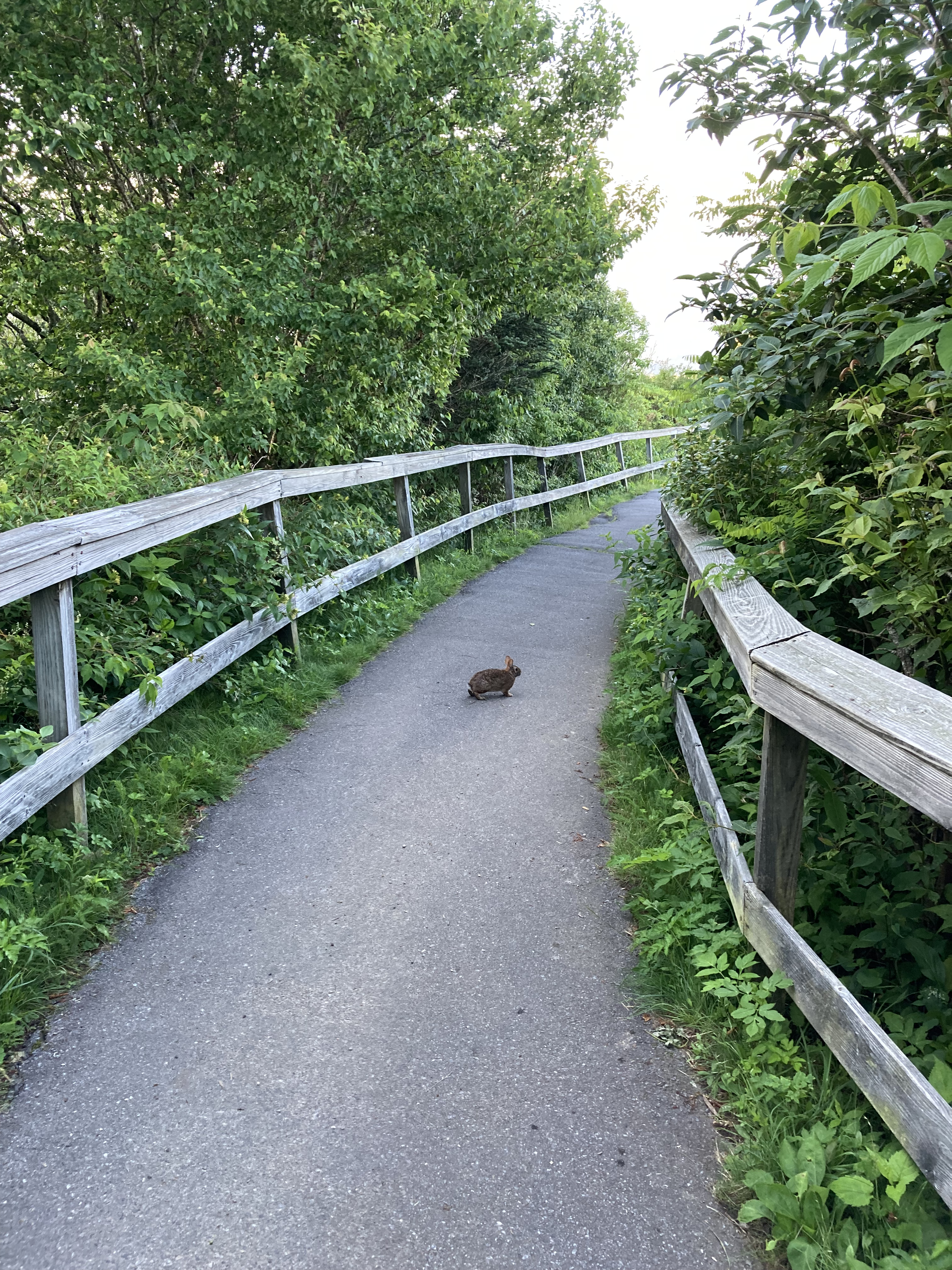
A bunny wishes me luck as I start the day-long descent into Cherokee.
I’m scorched and beaten by the end of the day when I face the 7.7 BRP road walk, but at least there’s never a dull moment. Cars stop to warn me of a bear frolicking up ahead. I pass a rattlesnake smushed in the opposite lane, looking, if uncoiled, easily as long as the lane is wide.
Snakes. I had forgotten about snakes. An Eden-istic desire in me wants it smashed, and I become much more choosey about where I put my feet when stepping off the shoulder.
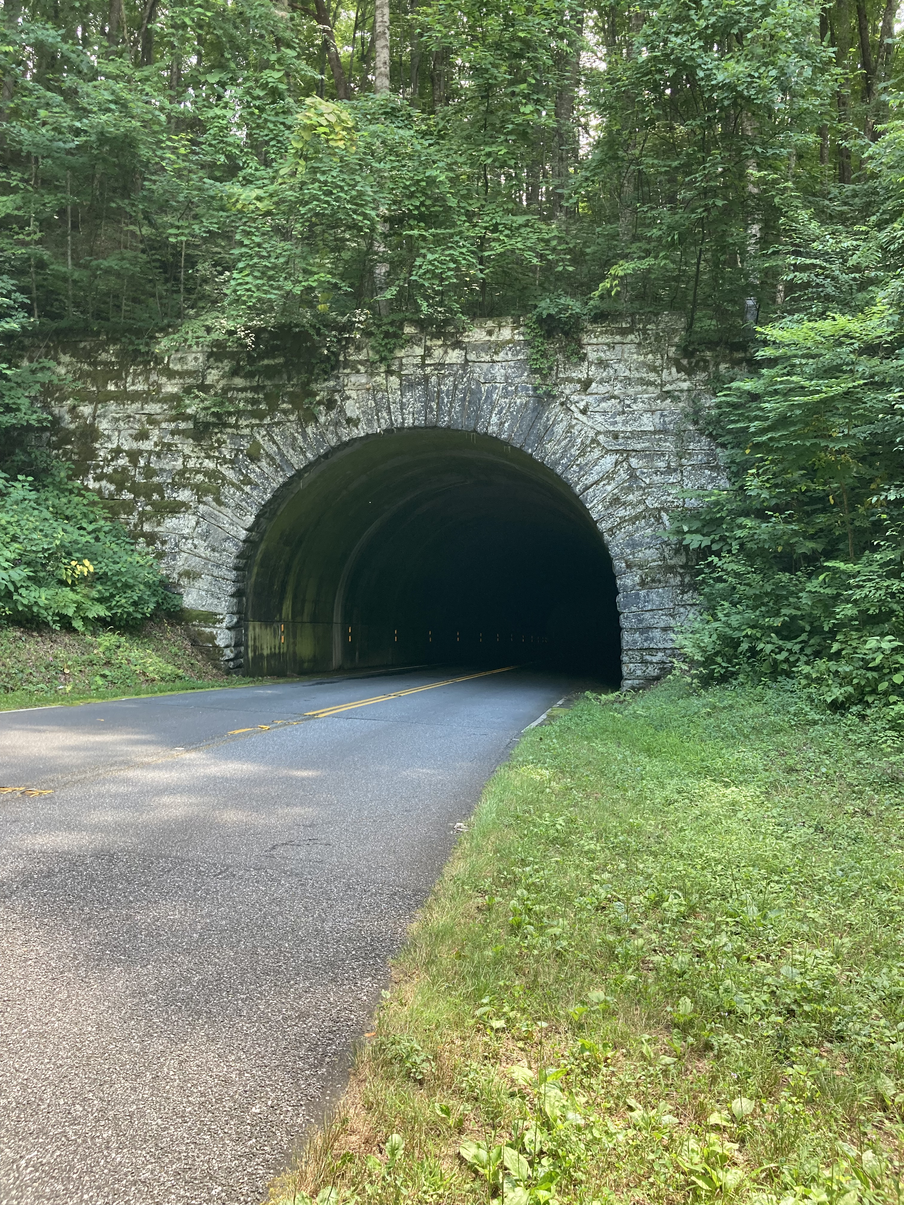
Two tunnels require two climbs into the woods and up and over, as walking through tunnels on the BRP is illegal.
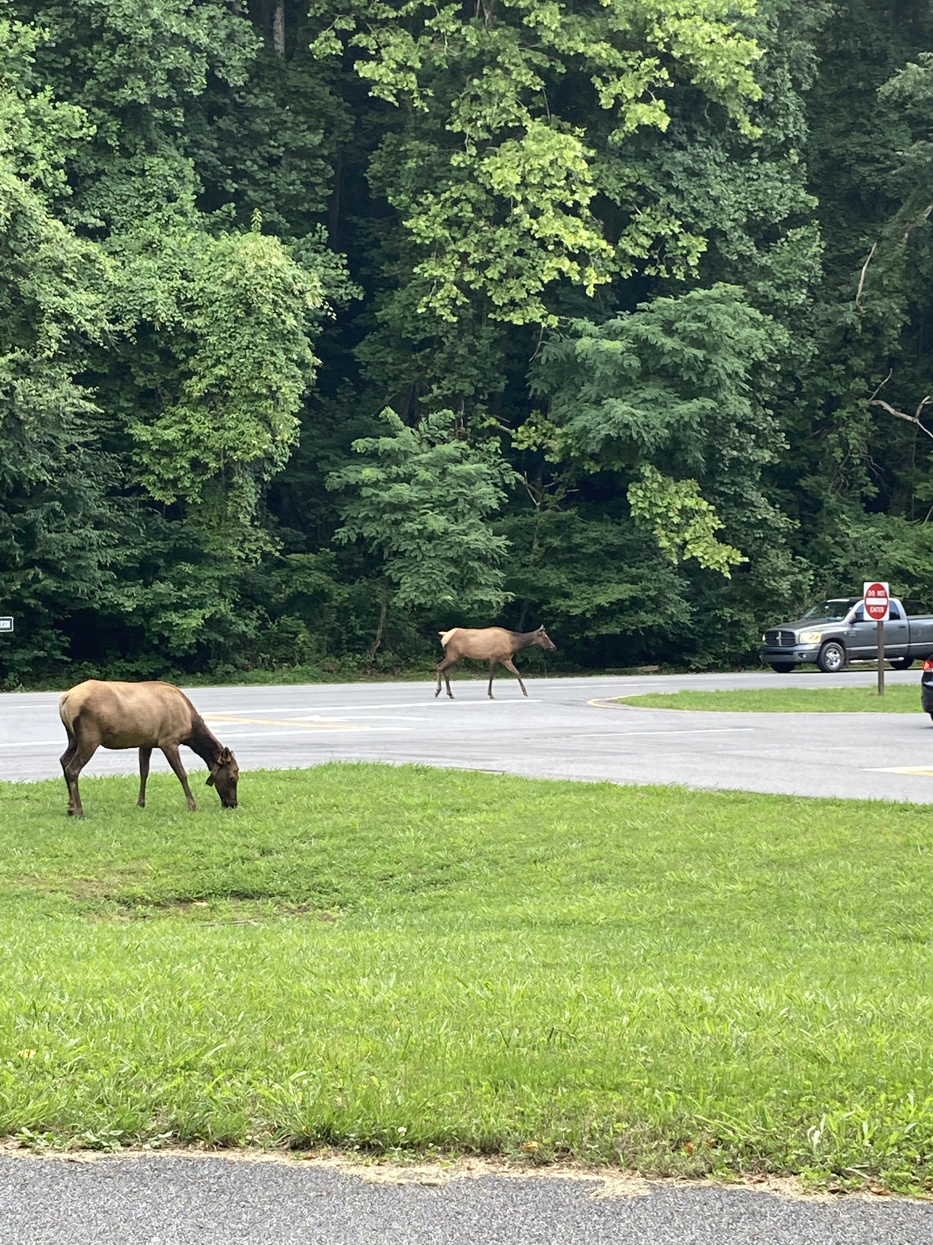
Traffic is stopped when I finally arrive at the turn toward Cherokee. Elk graze along the side of the road, wandering wherever they please, as rangers direct cars around them.
I think I’m going to like this place, I think, as I head toward town.
Day 5: Mt. Pisgah Inn to Black Balsam Knob Road – 17 miles
Day 6: Black Balsam Knob Road to campsite – 23.8 miles
Day 7: Campsite to stealth camp south of Fork Ridge Overlook – 18.2 miles
Day 8: Stealth camp to Cherokee turn-off – 23.4 miles
~To be continued~

One thought on “Appalachian High Route, Part 1: Burnsville to Cherokee”