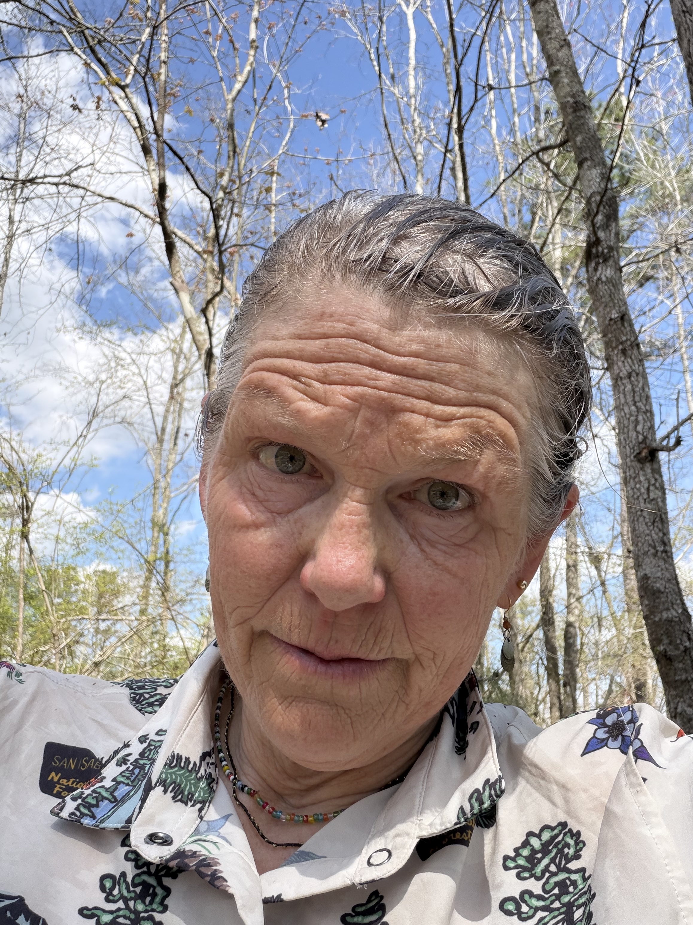
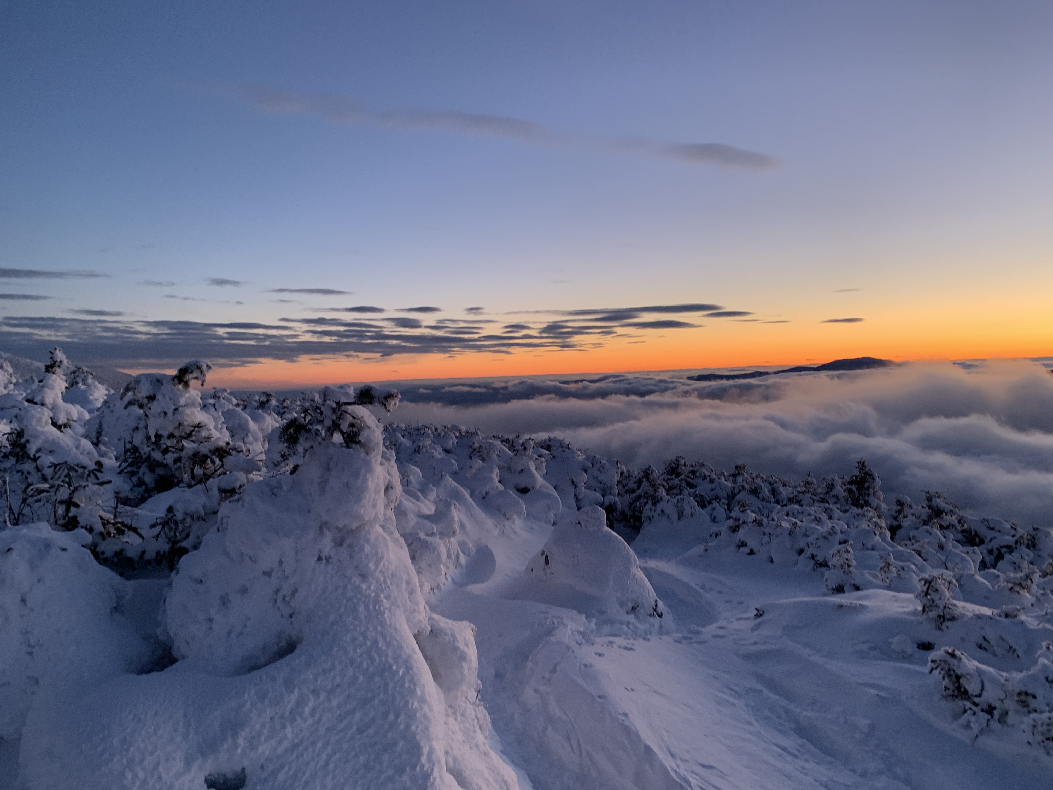
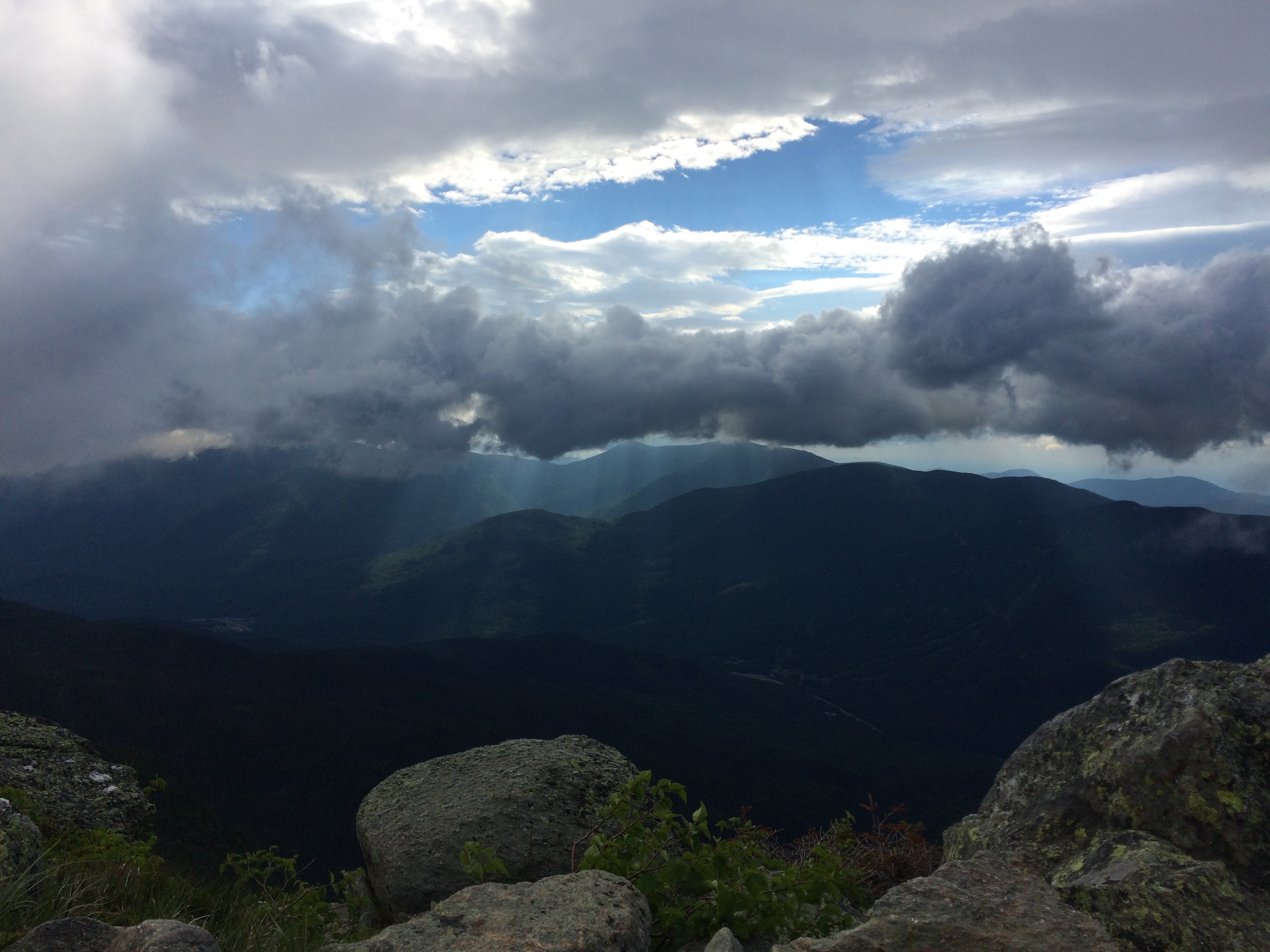
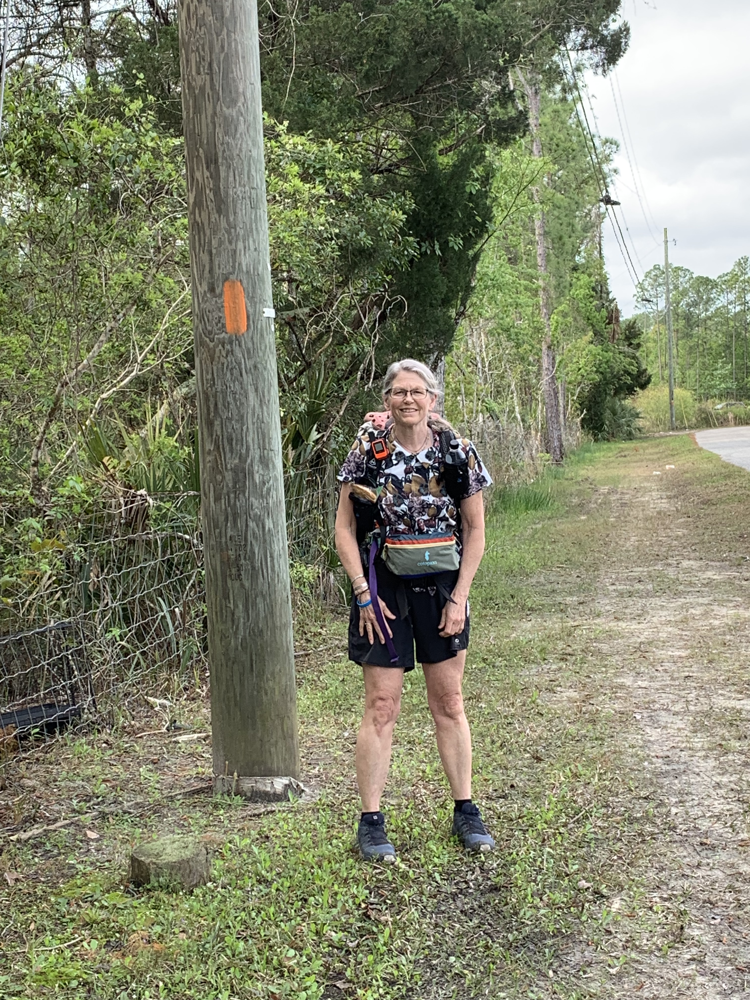
March has finally simmered down enough for me to find some time to look back on this year’s section of the Florida Trail.
It’s been my joy every spring to leave duty and winter behind and simply walk in a landscape that is both foreign and familiar, terrible and beautiful .
I decided this year that I was going to lighten my pack as much as possible due to some longer (heavier) water carries. This meant forgoing a hot morning beverage (no stove, fuel, or cup), taking a chance on precipitation (no rain pants), and reading an evening selection on my phone (no physical book).
Even paper can be heavy, if there is enough of it. Ask any teacher.
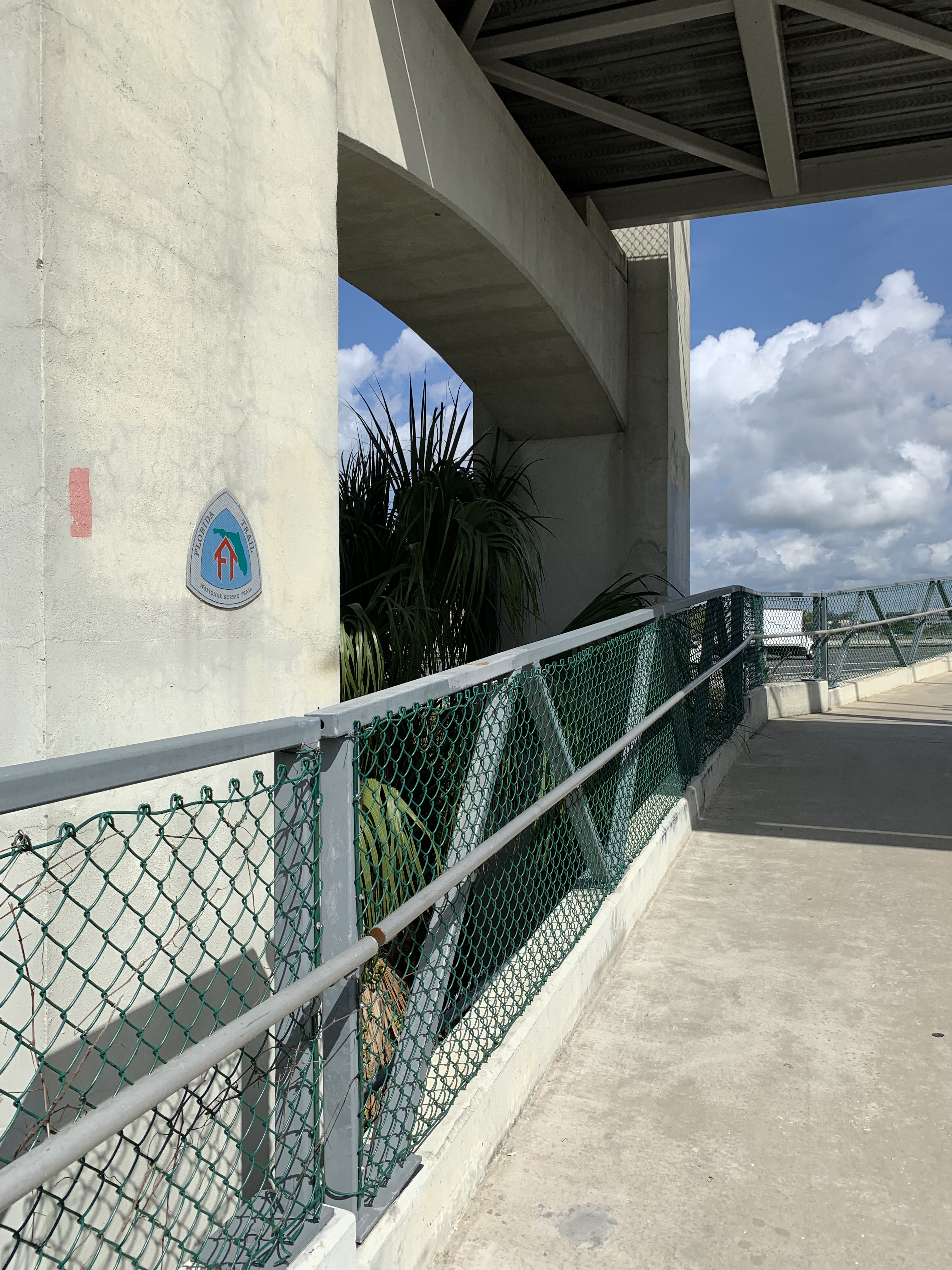
I leave my maps behind, as well, gambling that the FarOut App would be enough.
No Florida Trail endeavor (for me) has ever begun without some form of drama, and this year it was fire. Eager to hike the most southern section of the trail, Big Cypress, in what is turning out to be a significant year of drought in Florida, I was sad to learn just days before my departure that Big Cypress was ablaze. All my plans for car parking and shuttles had to be rejiggered.
Image from Naples Daily News
Though the Big Cypress fire consumed 35,000 acres and even shut down Alligator Alley, the main east-west corridor north of the Everglades, burns are essential to the ecosystem of the swamp. What was an inconvenience for me turned out to be a boon for BC (lest I appear, dear reader, whiningly callous about my change of plans).
Having only two other unhiked sections to choose from, I decided to shift to the Suwannee. Every year previous that I have tried to complete this stunning segment, it has been flooded, so with water levels 10 feet below the safe margin, I finally got my chance.
But not before more drama. On the morning my shuttle is supposed to arrive, I venture outside of the White Springs B & B to catch the blood moon and realize I’m hot and dizzy. Queasy. Stumbling back inside, I call Earthworm, my trail angel ride, to reschedule, then book two more nights at the B & B.
Younger me would have been frustrated, upset. Older, calmer me made what lemonade I could. I sleep most of the first day, watch Korean dramas, hydrate.
On day two, I feel well enough to hike Big Shoals, a short piece I had skipped years before due to a high water bypass.
The Shoals are down to a trickle, hardly the torrents that routinely draw kayakers and white water enthusiasts. Footsteps connected, however, I was ready on the morning of day three to head out.
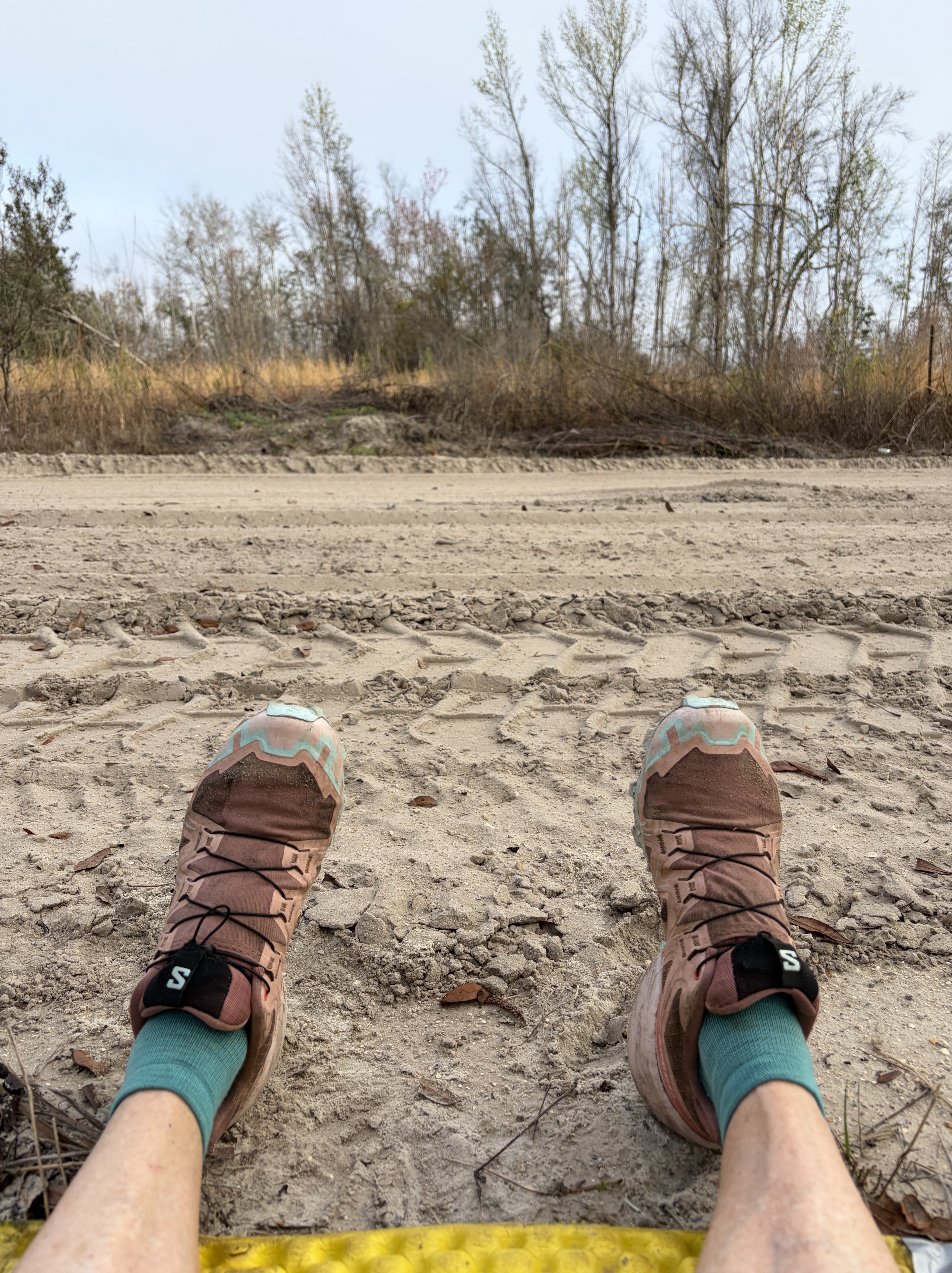
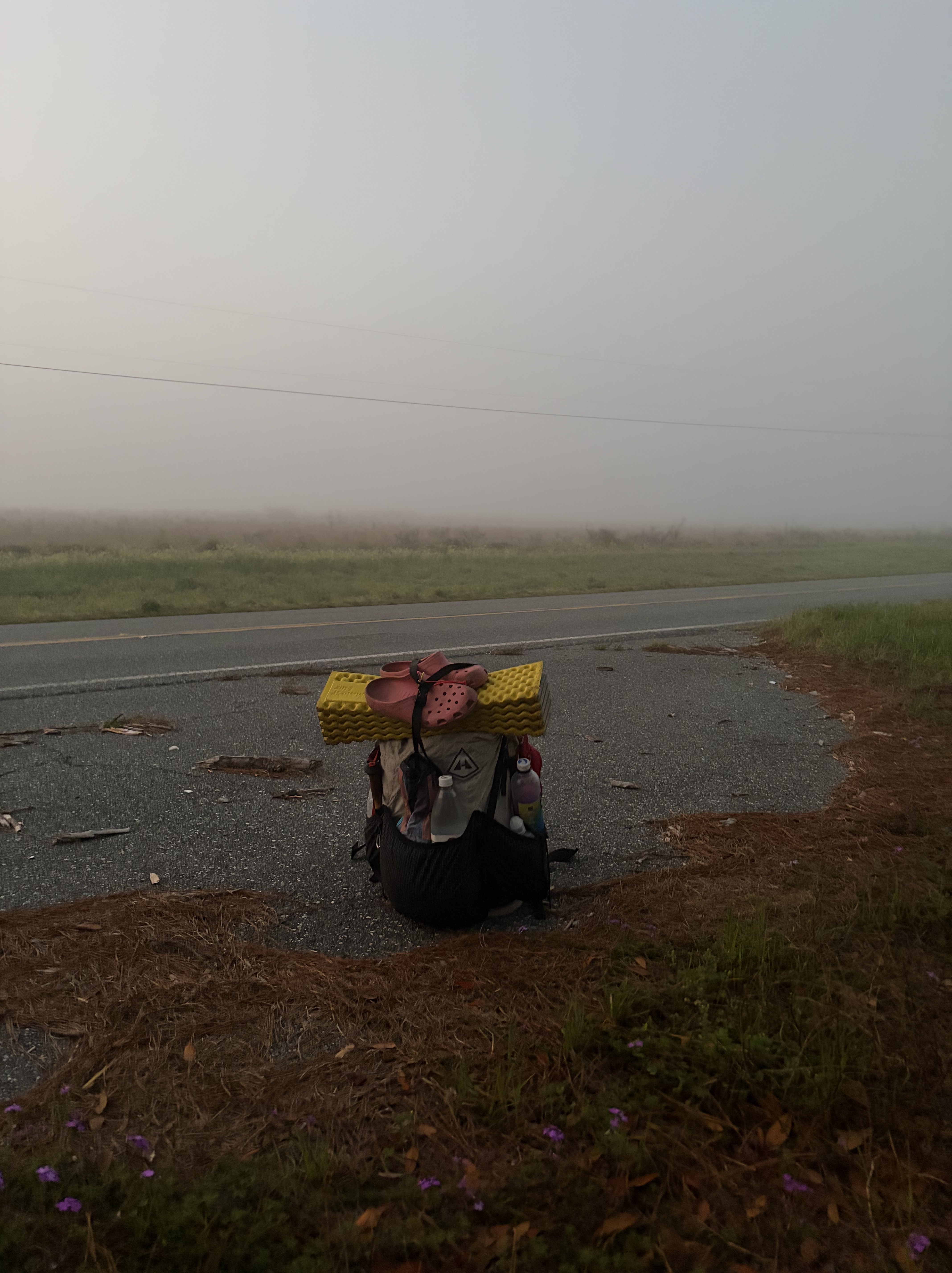
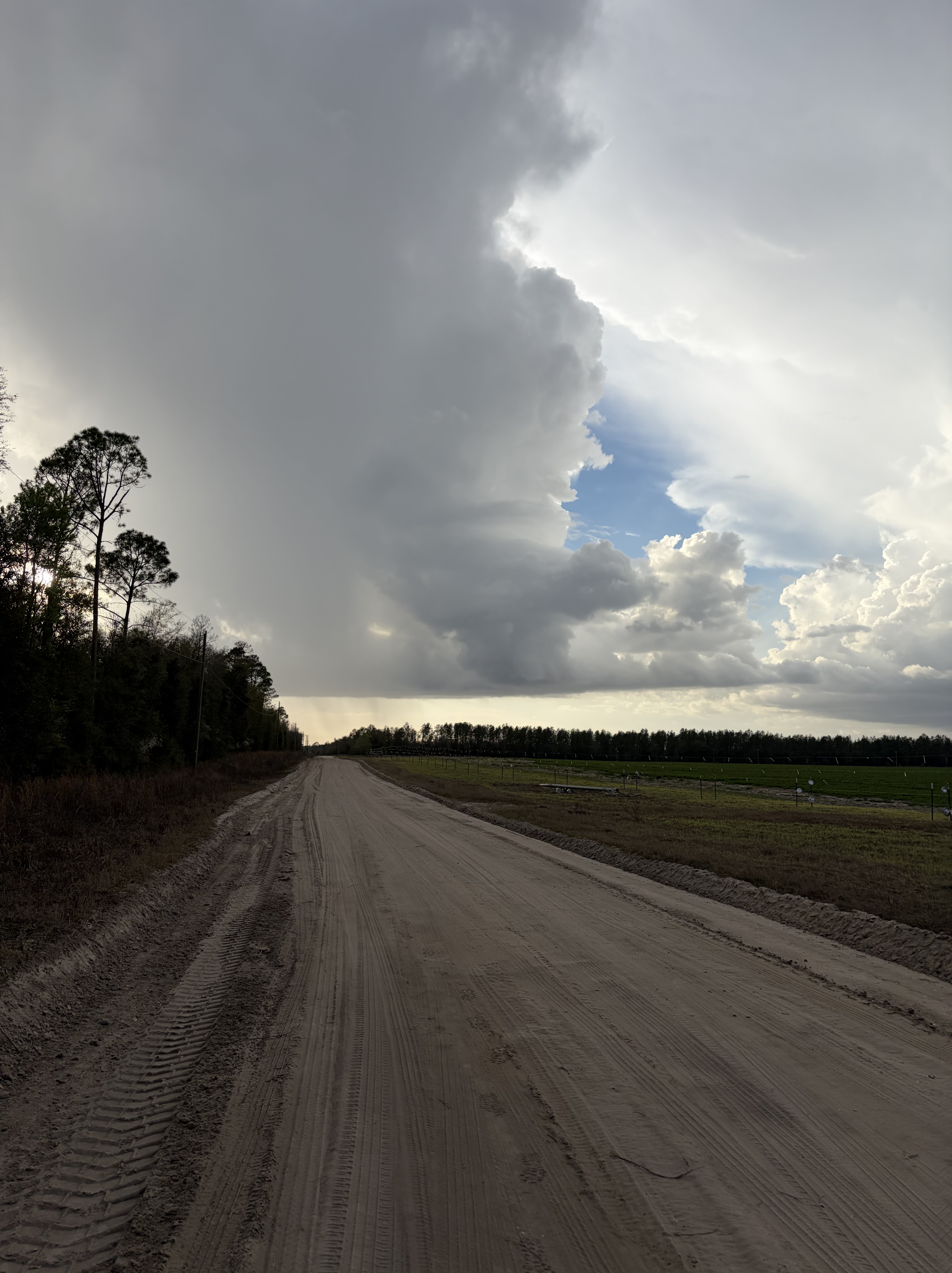
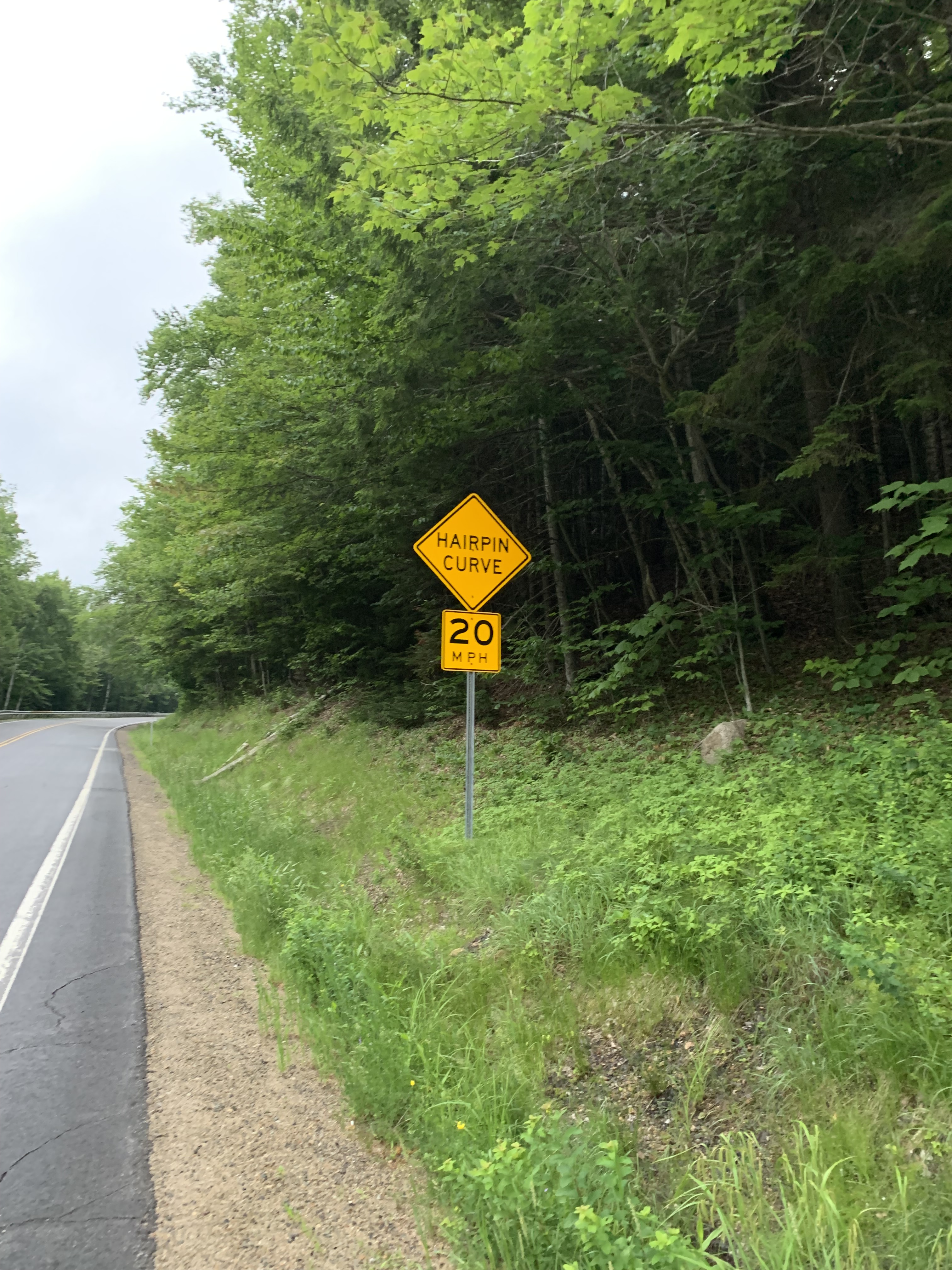
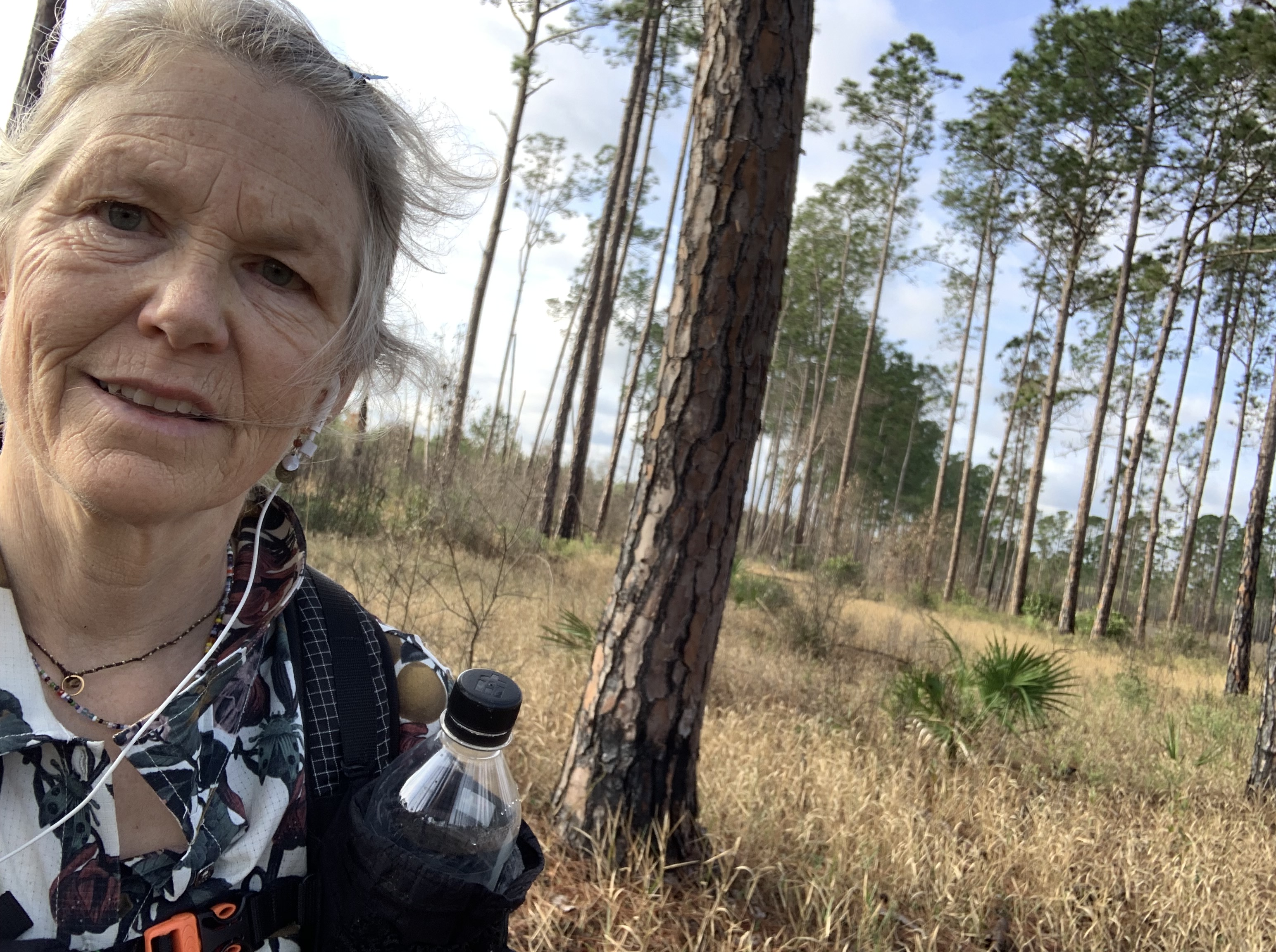
After an hour of lively conversation, Earthworm drops me 100 miles north of White Springs to begin what will be the first challenge of this section, a 40 mile road walk on pavement, dirt, and sand.
I typically don’t mind road walks, given one can forget one’s feet and breeze along at a pace incompatible with forest trails. But along this stretch there were only two options for me to spend the night: a cemetery or a church.
The church would be a push, given my late drop-off time, but I wasn’t terribly excited about the cemetery, even though when I walked by it around 4:00 that afternoon, it looked grassy, cool and quiet.
But the church!
New Hope Baptist had everything a tired hiker might need. Flat grassy spaces. Picnic tables. A roof. Electric outlets. Water. Even a huge industrial fan I use the next morning to dry out my tent. Luxury!
It’s hard to pull myself away to pound out the remaining road.
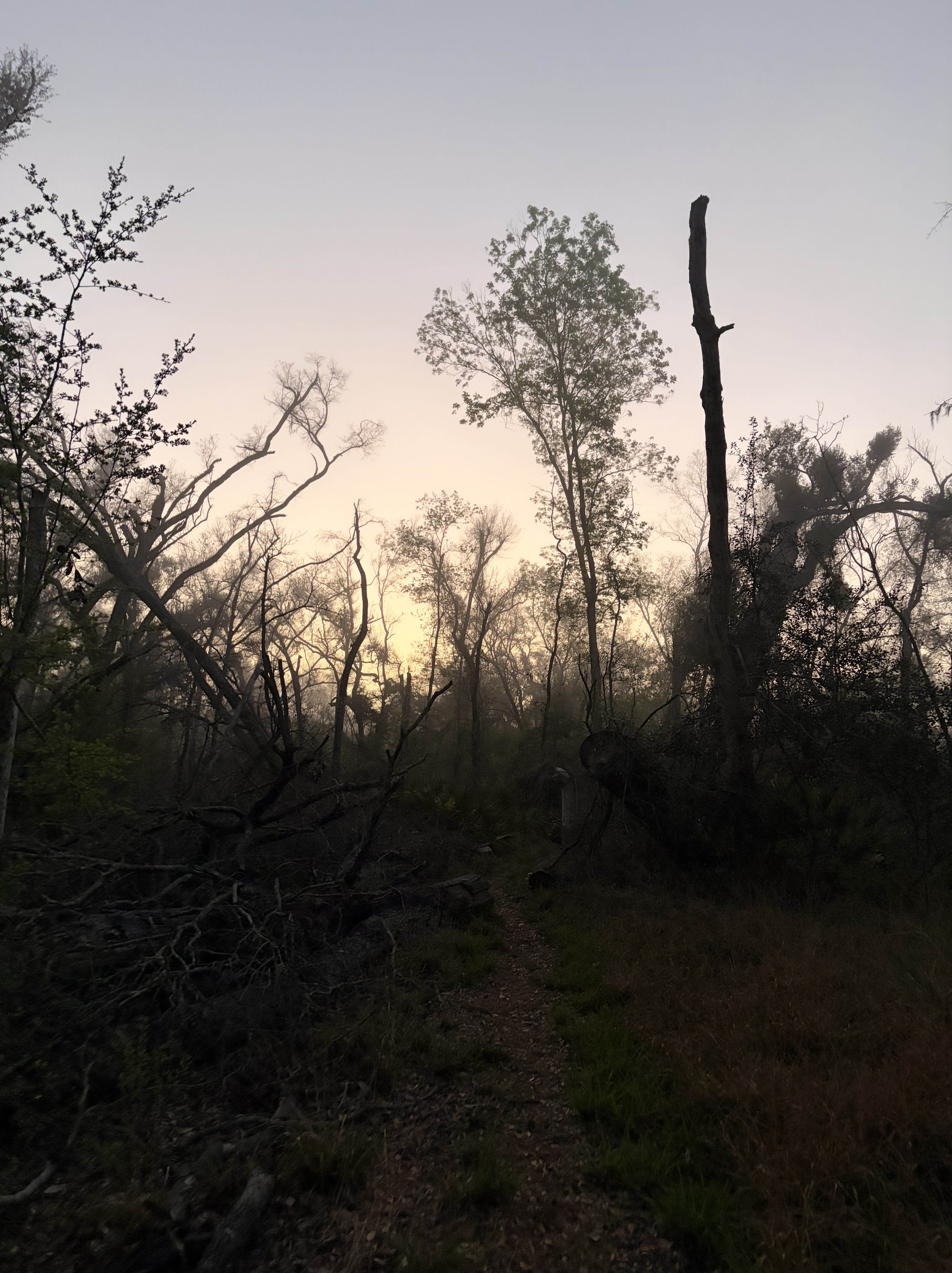
Fog pools around me as I set out in the dark, hoping to get in “10 before 10” (10 miles before 10:00) in advance of the heat.
Dogs I pass are remarkably well behaved for rural Florida, a relief.
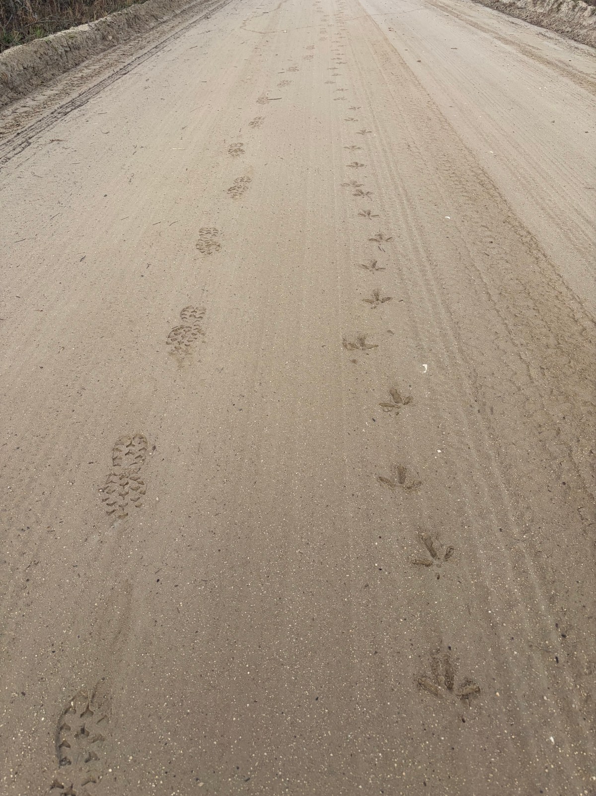
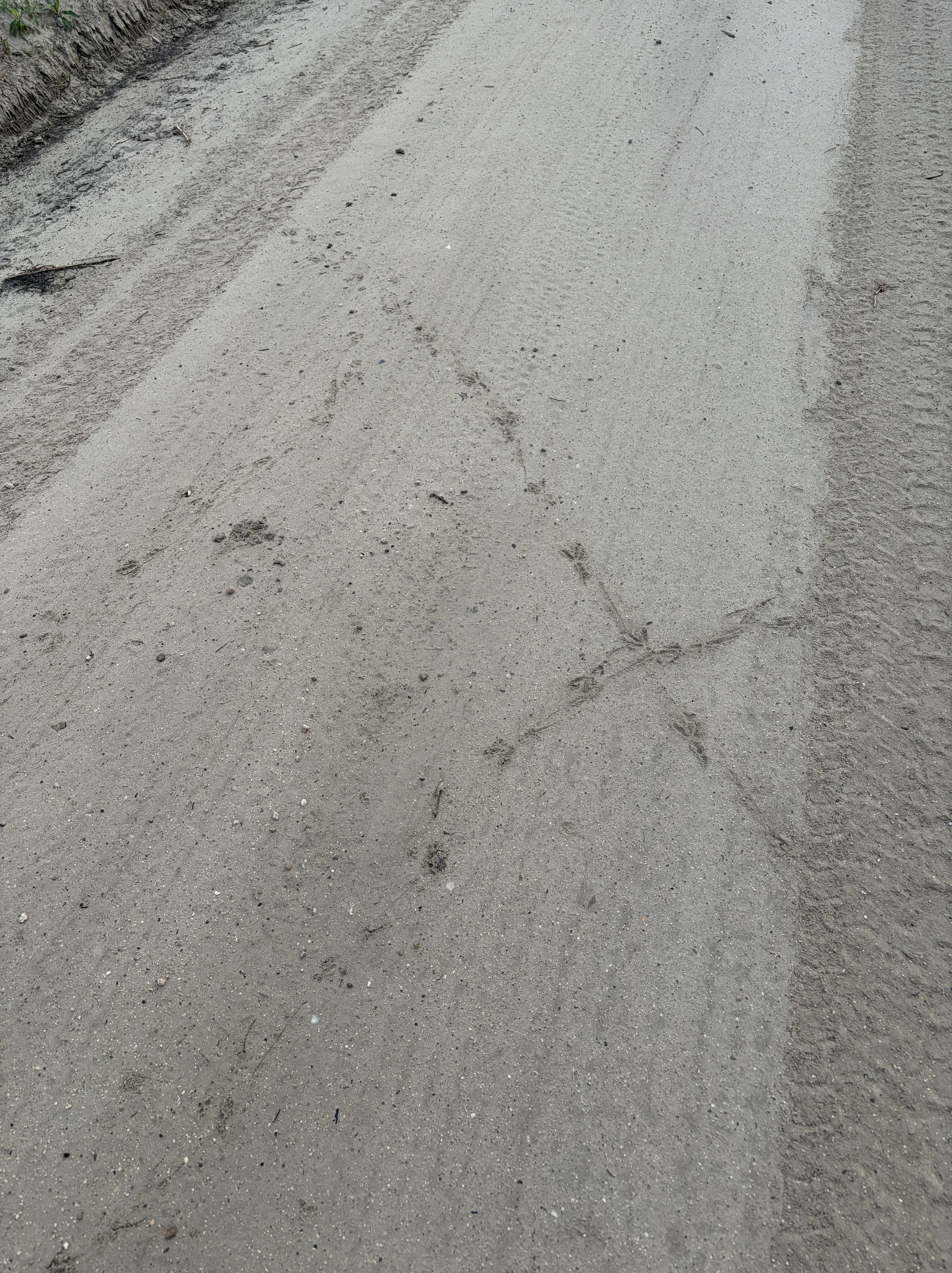
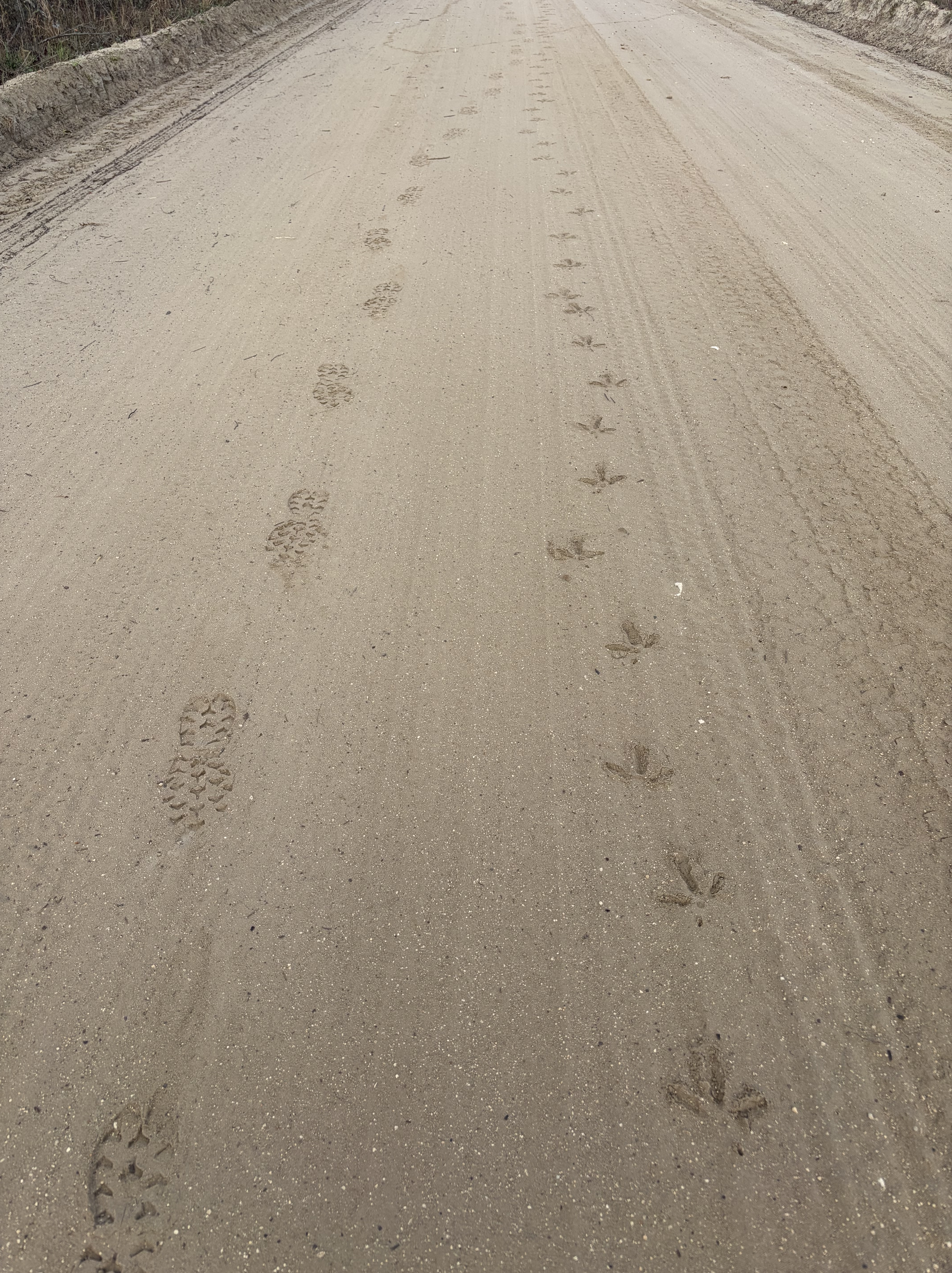
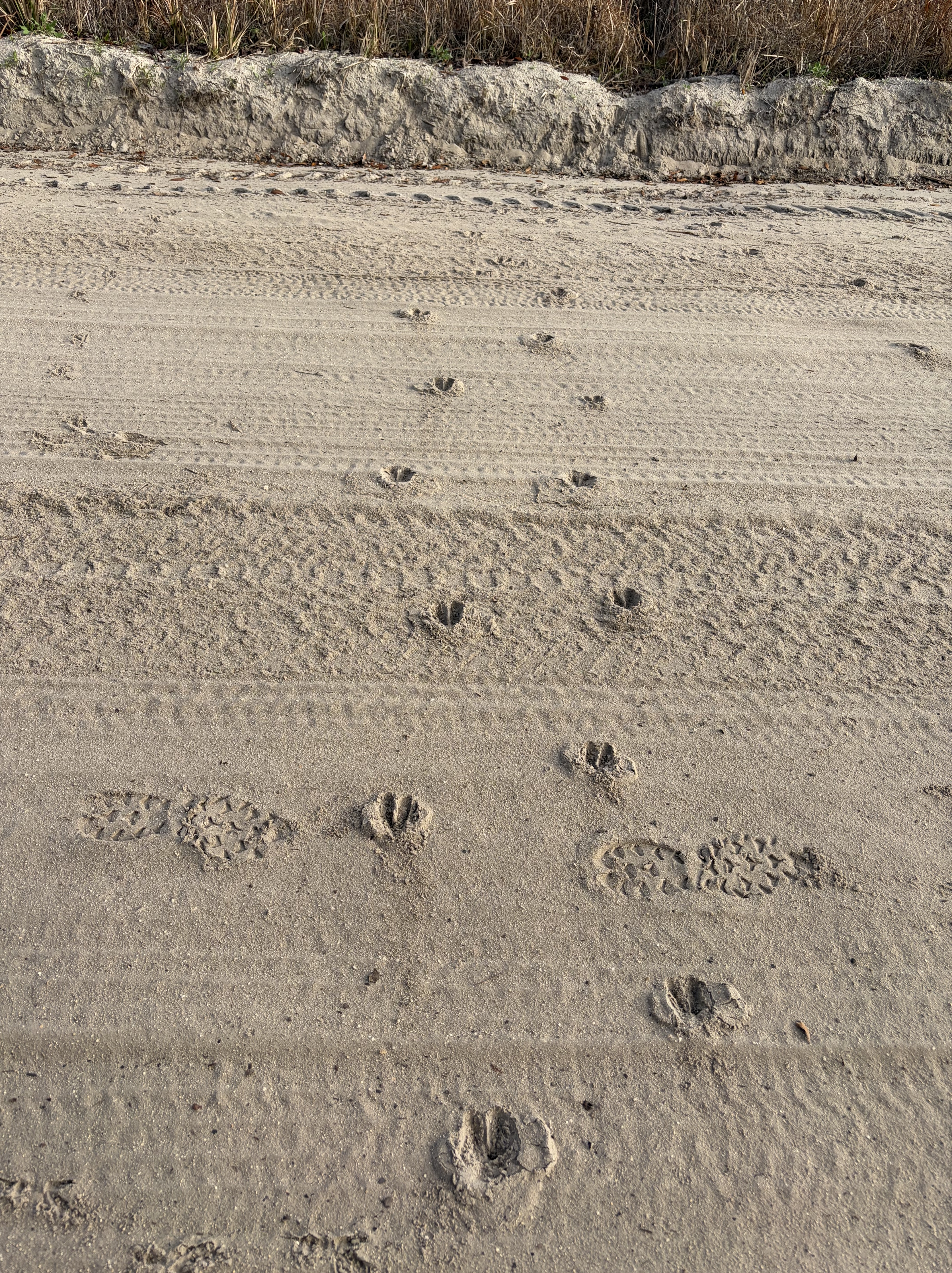
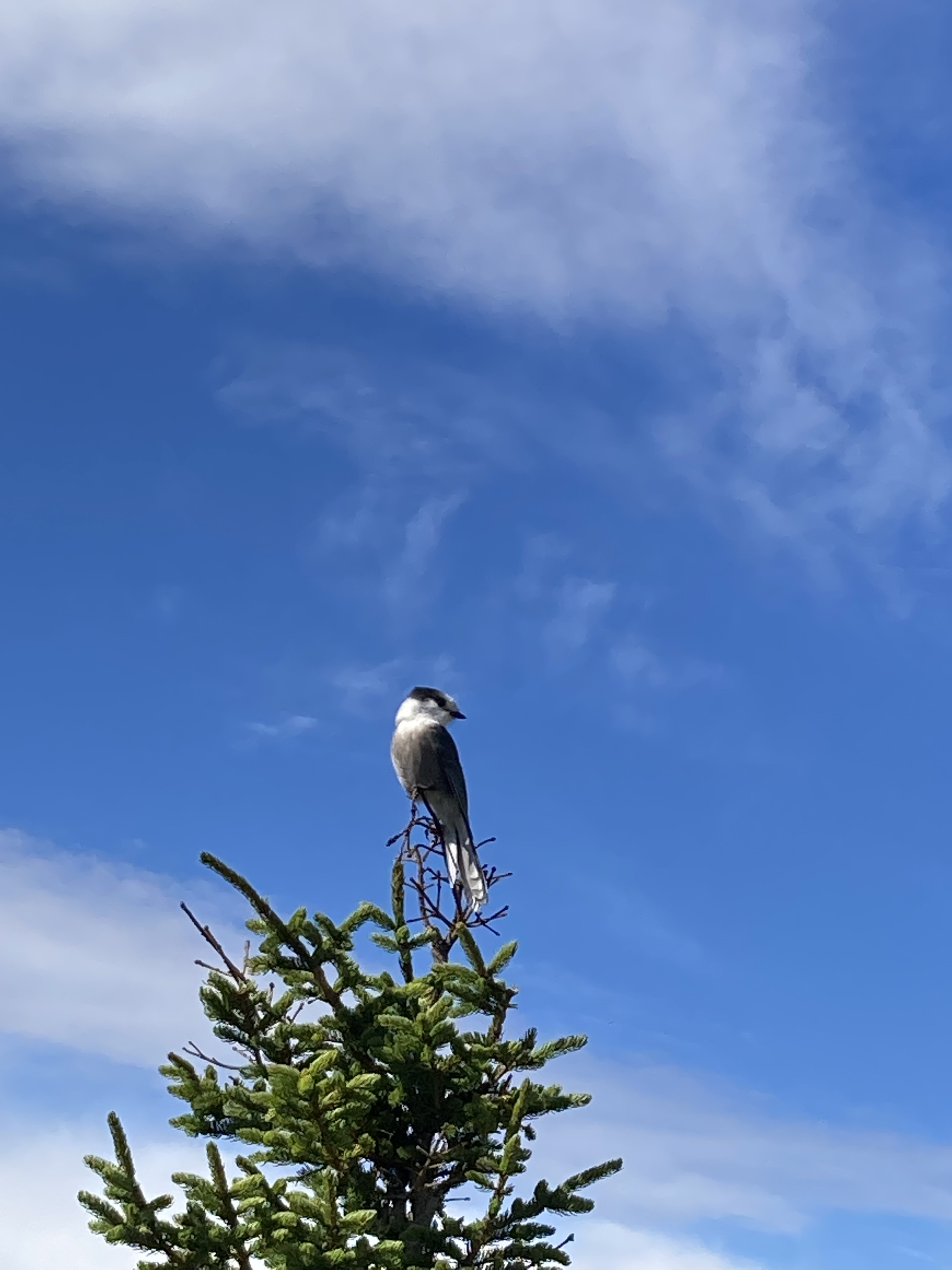
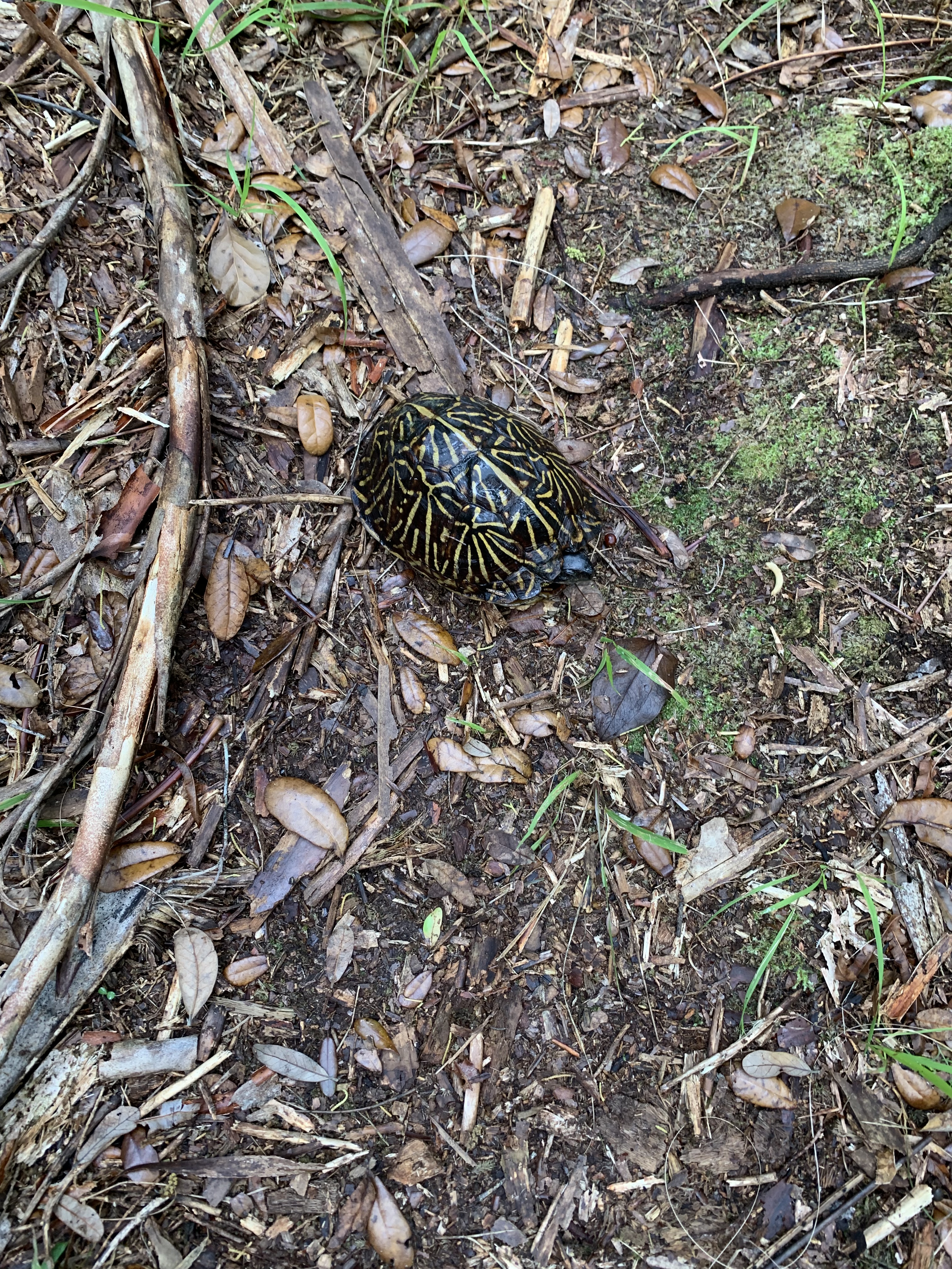
Other critters and I criss cross along forest way.
Pick-ups and logging trailers hustle by, kicking up dust. The hot arrives as I pull over to truck stop only .3 off the trail.
Yippee.
Subway and DQ for lunch, snack resupply and water for the afternoon.
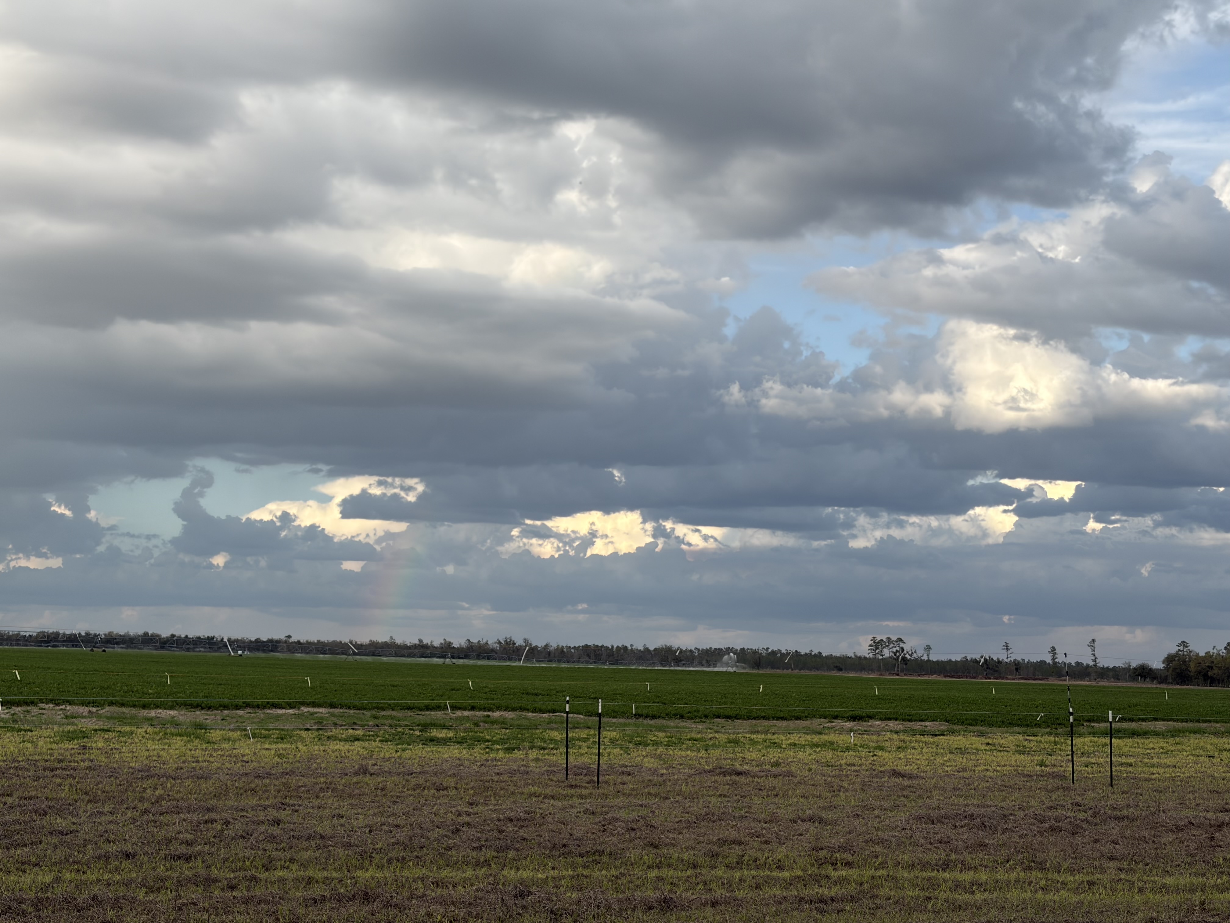
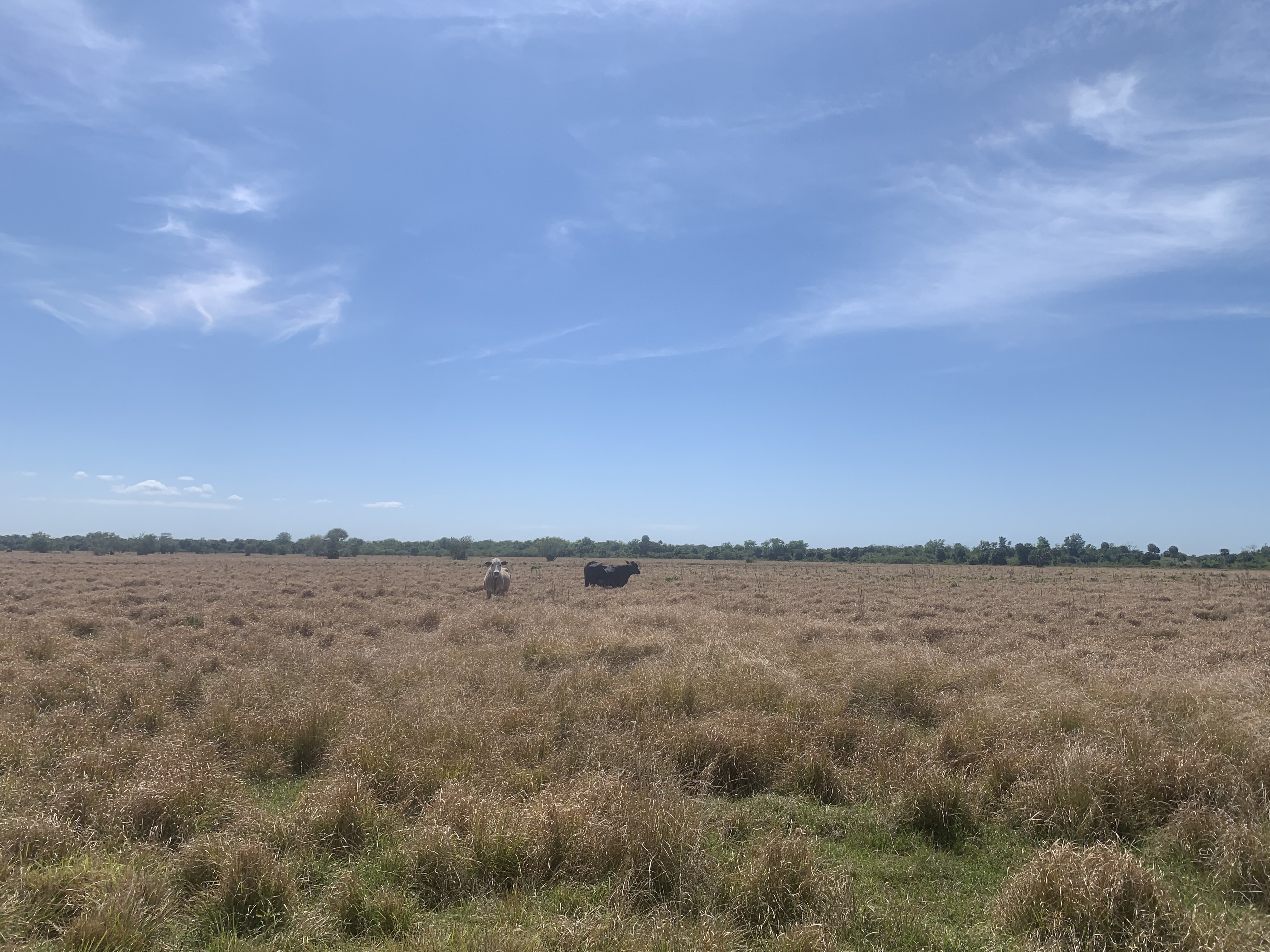
The last miles of road I have to measure off in small, reachable goals, as all shade disappears and I am surrounded by massive farms.
Three miles, rest.
Two miles, rest.
Last intersection, turn.
Thunder that threatens all afternoon produces no rain, only a beautiful distant bow.
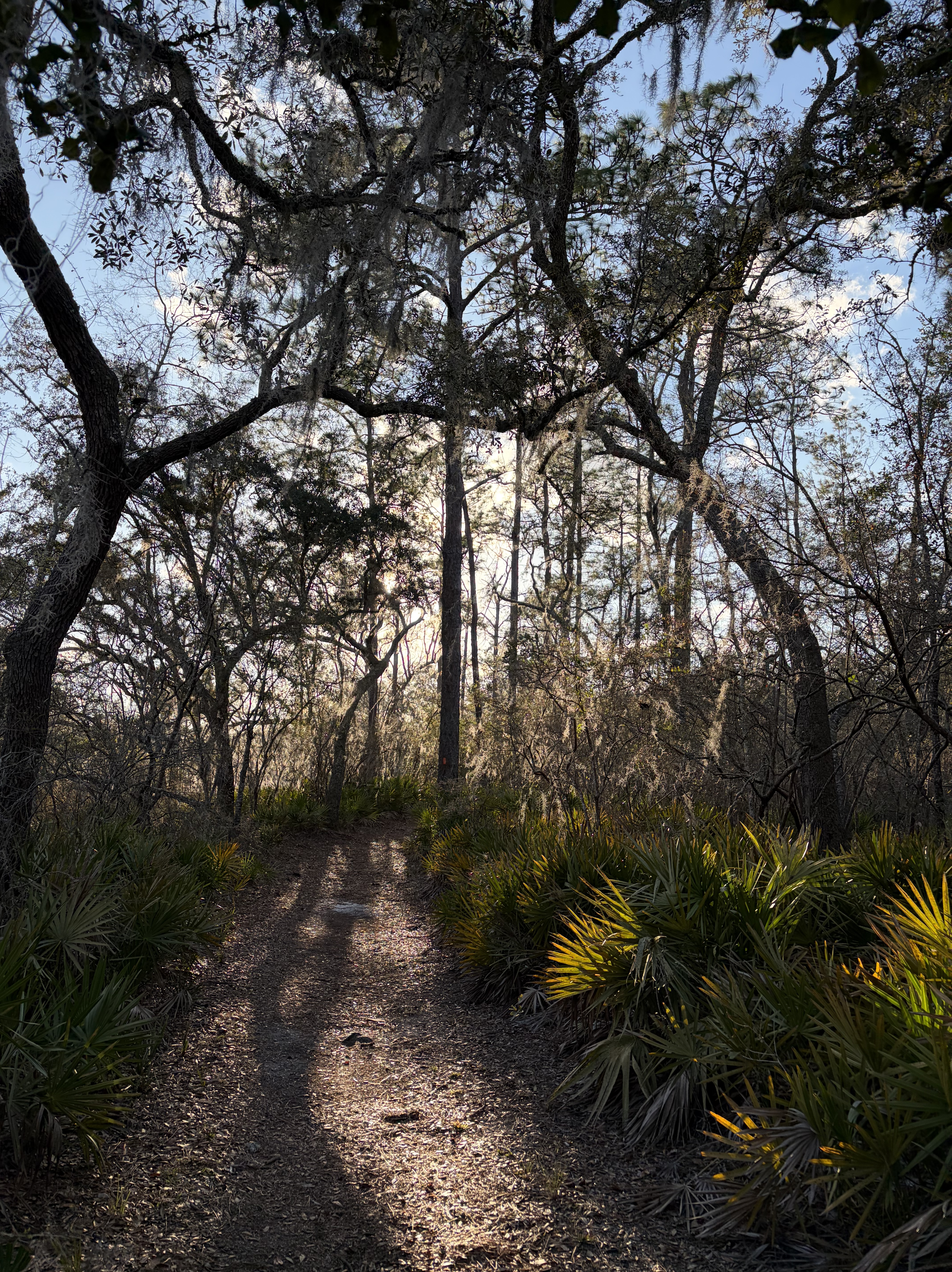
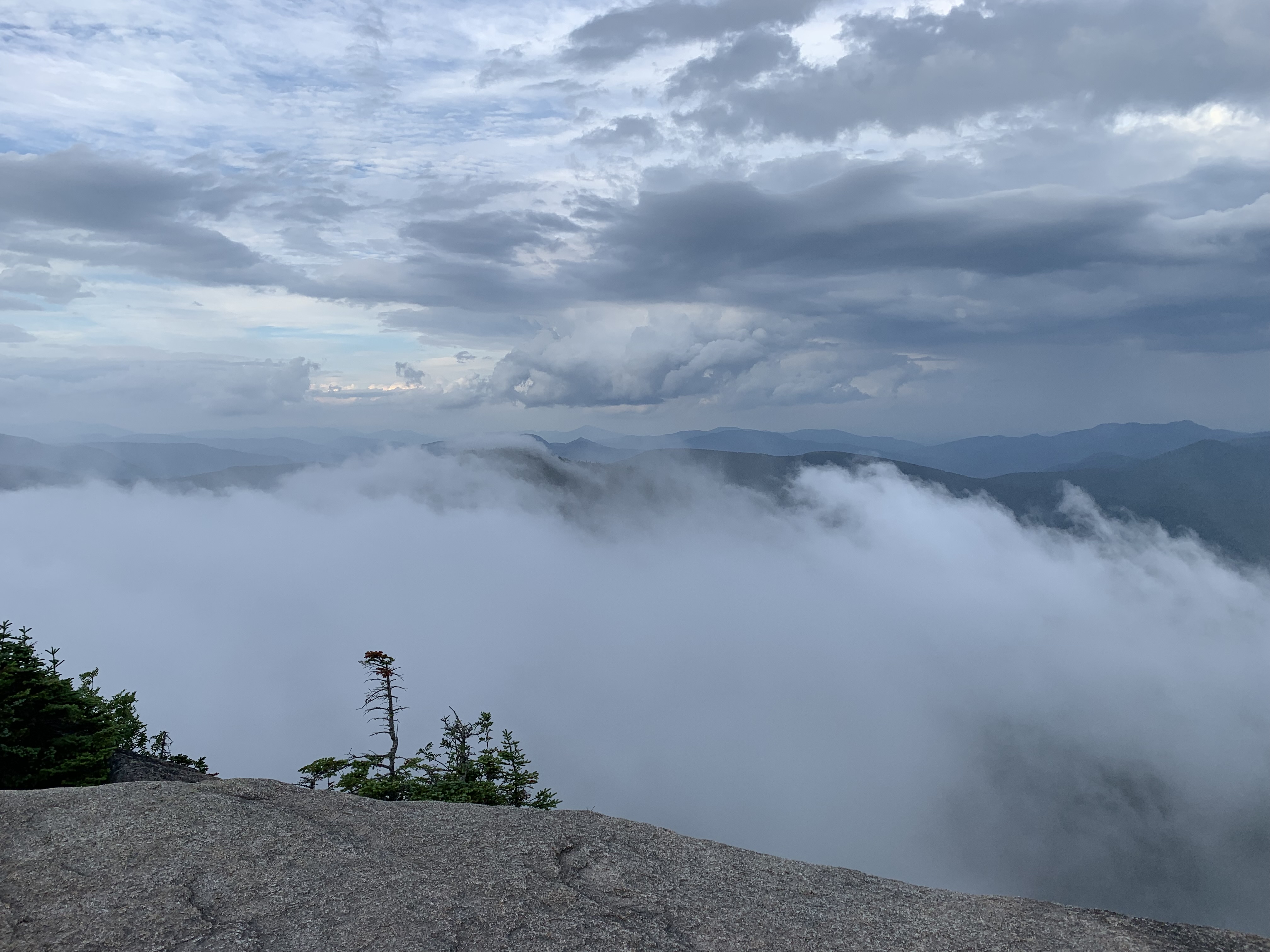
I’m ready for the woods.
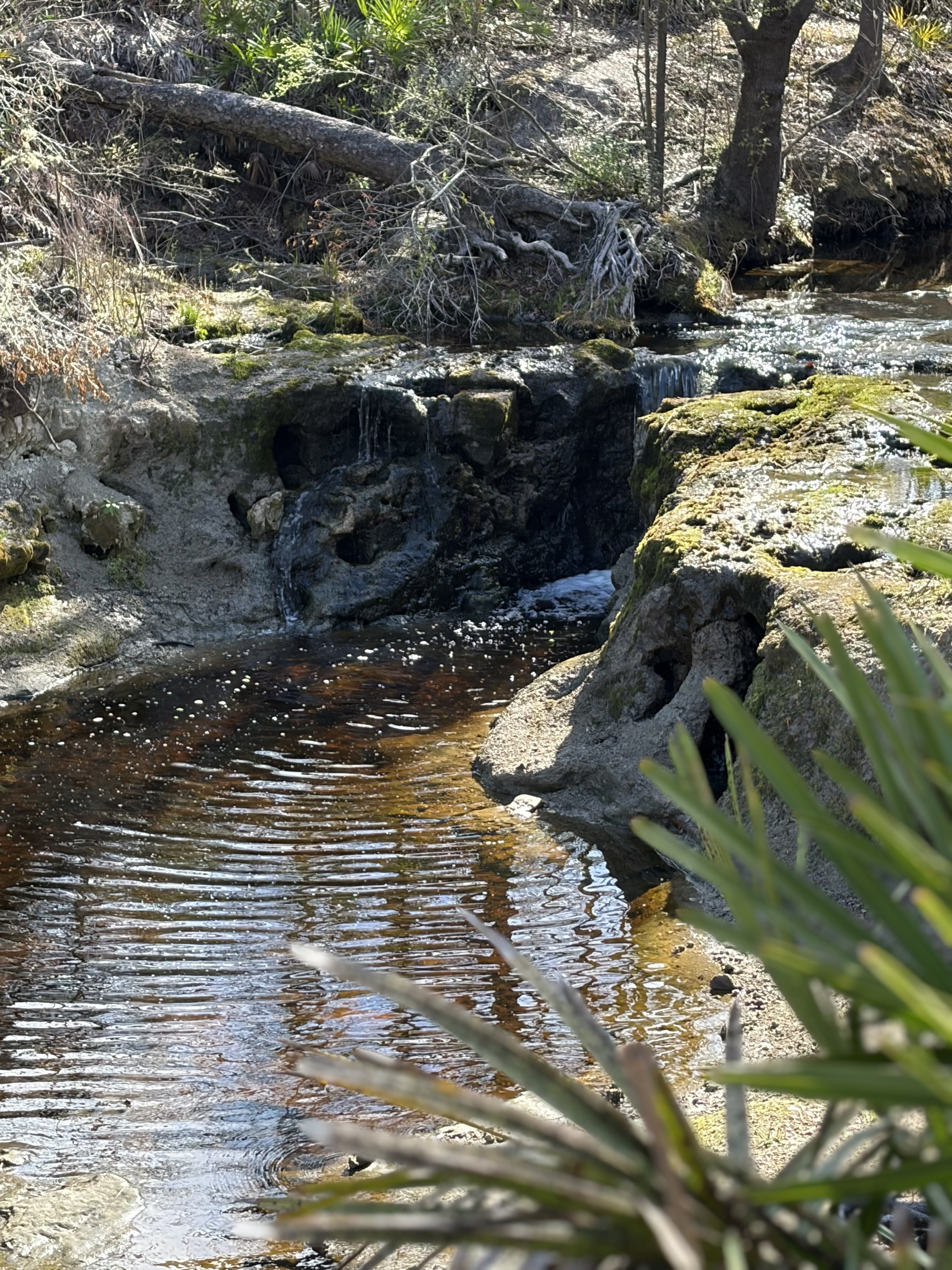
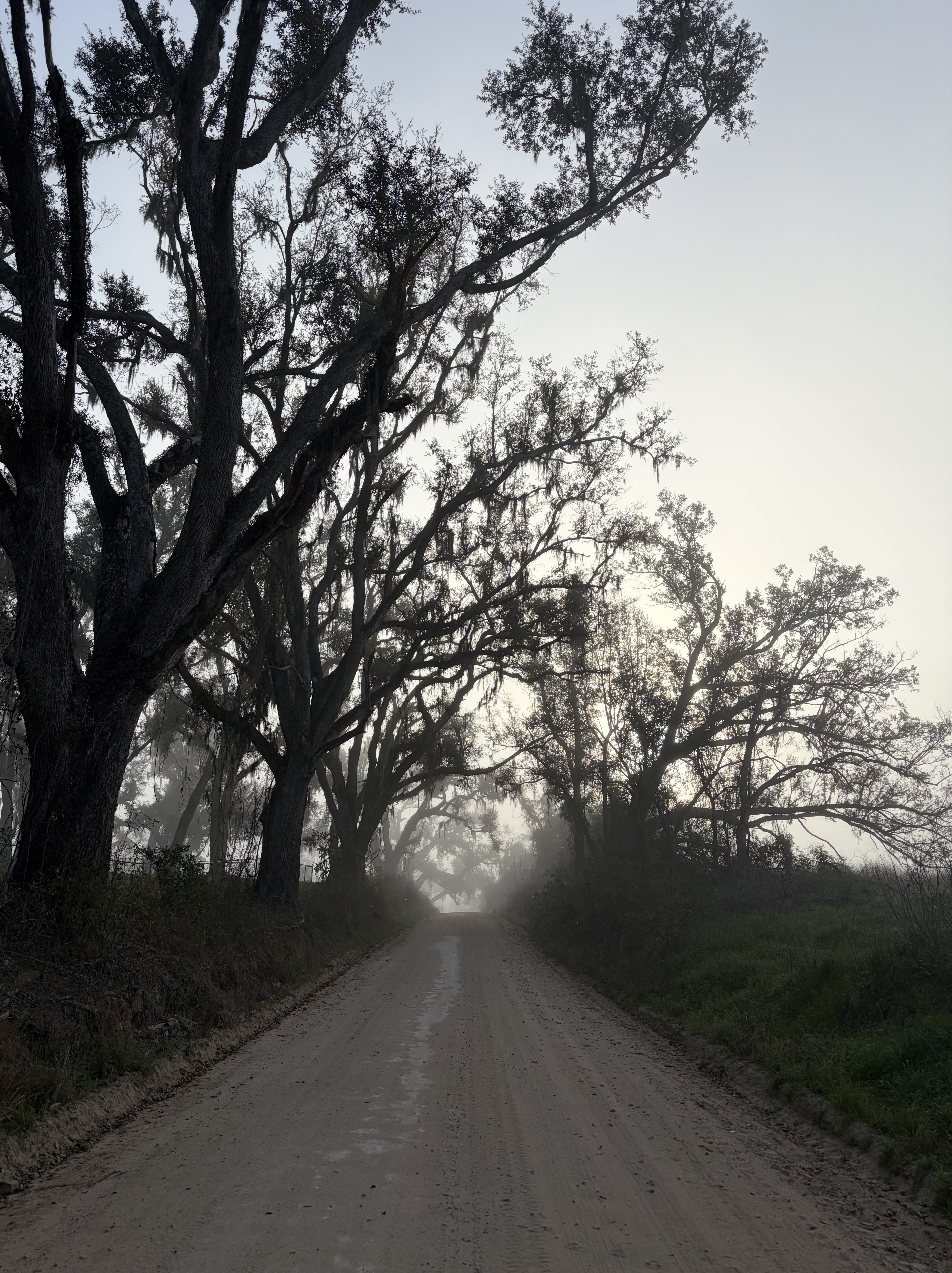
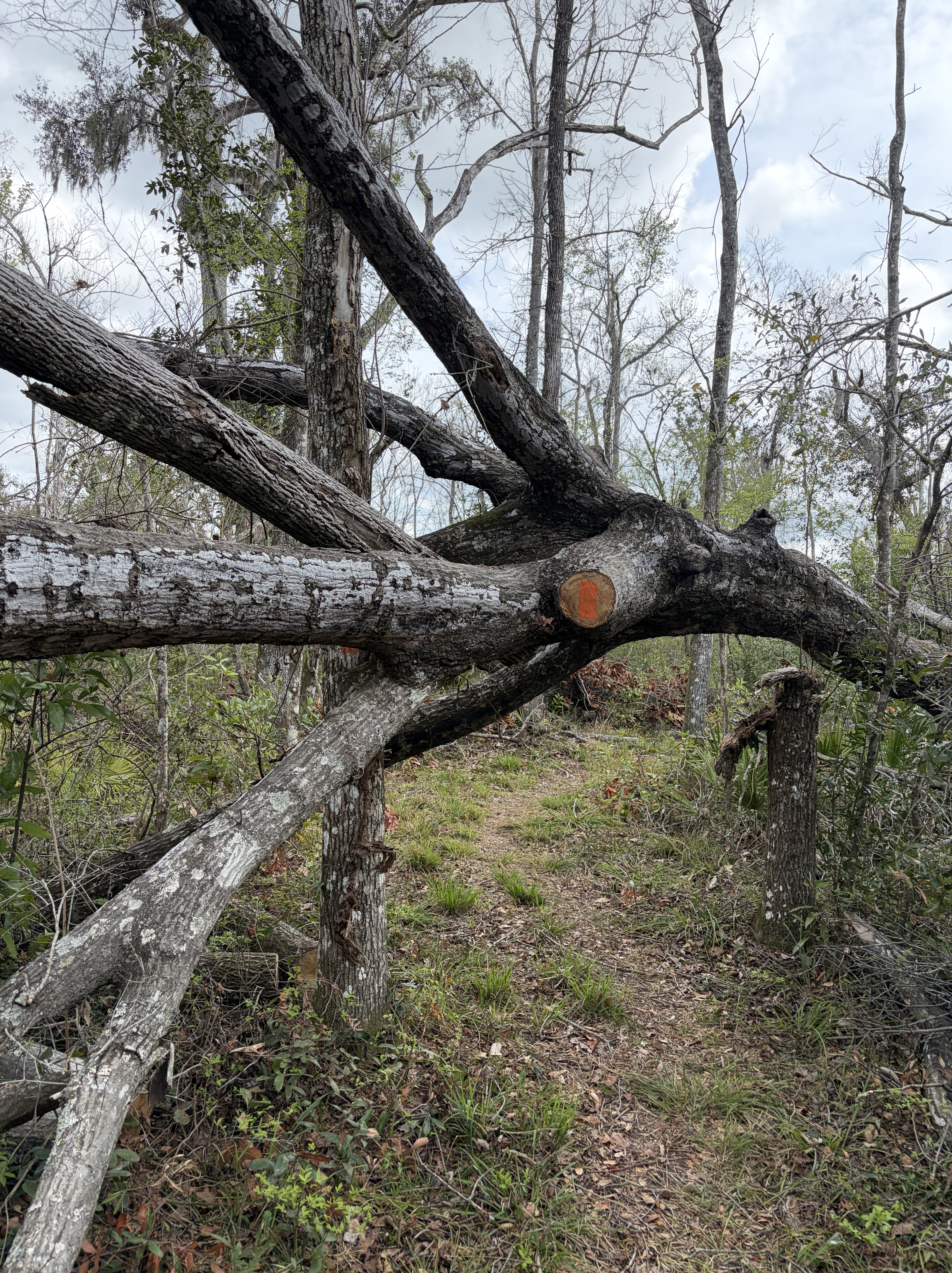
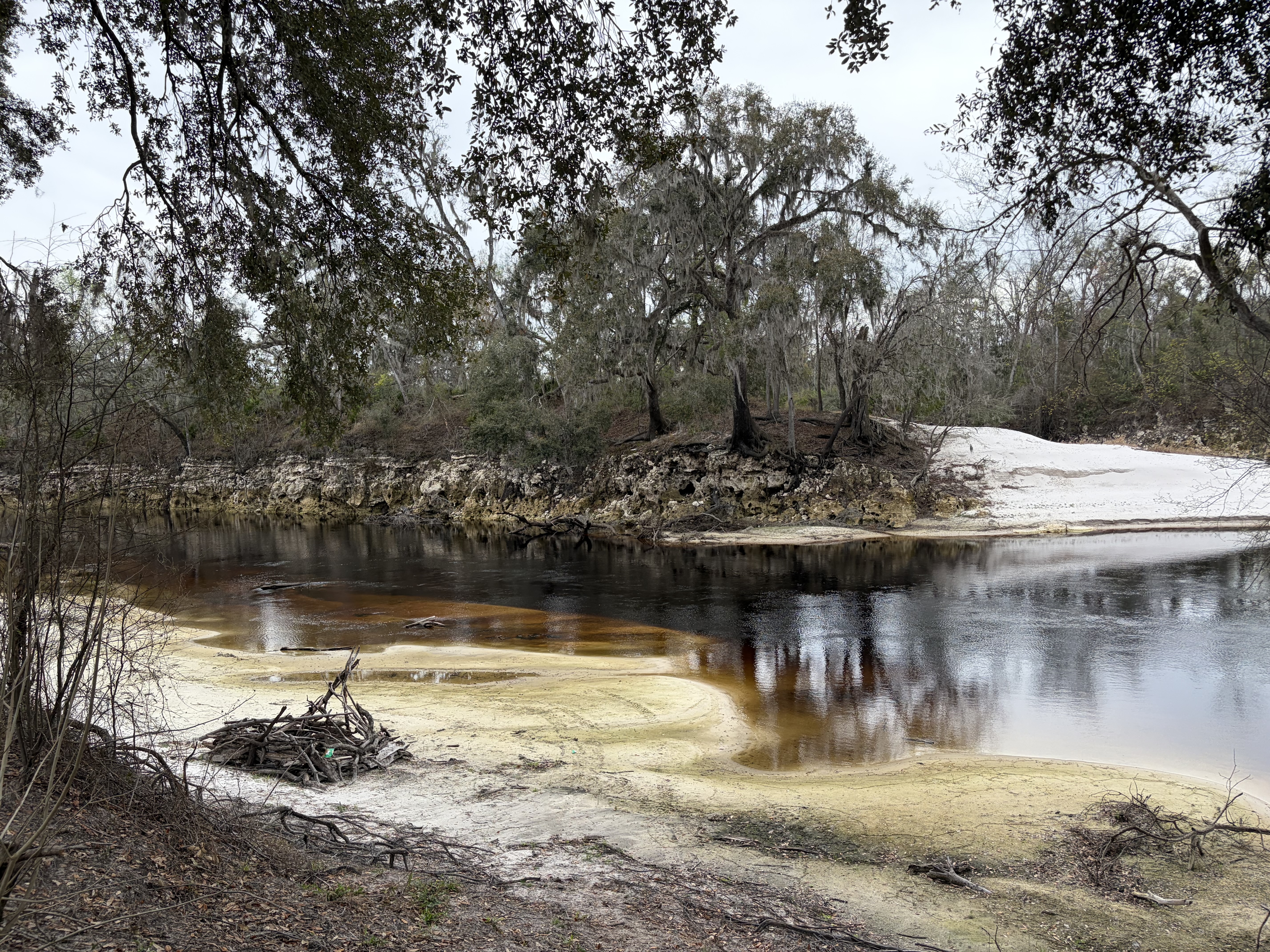
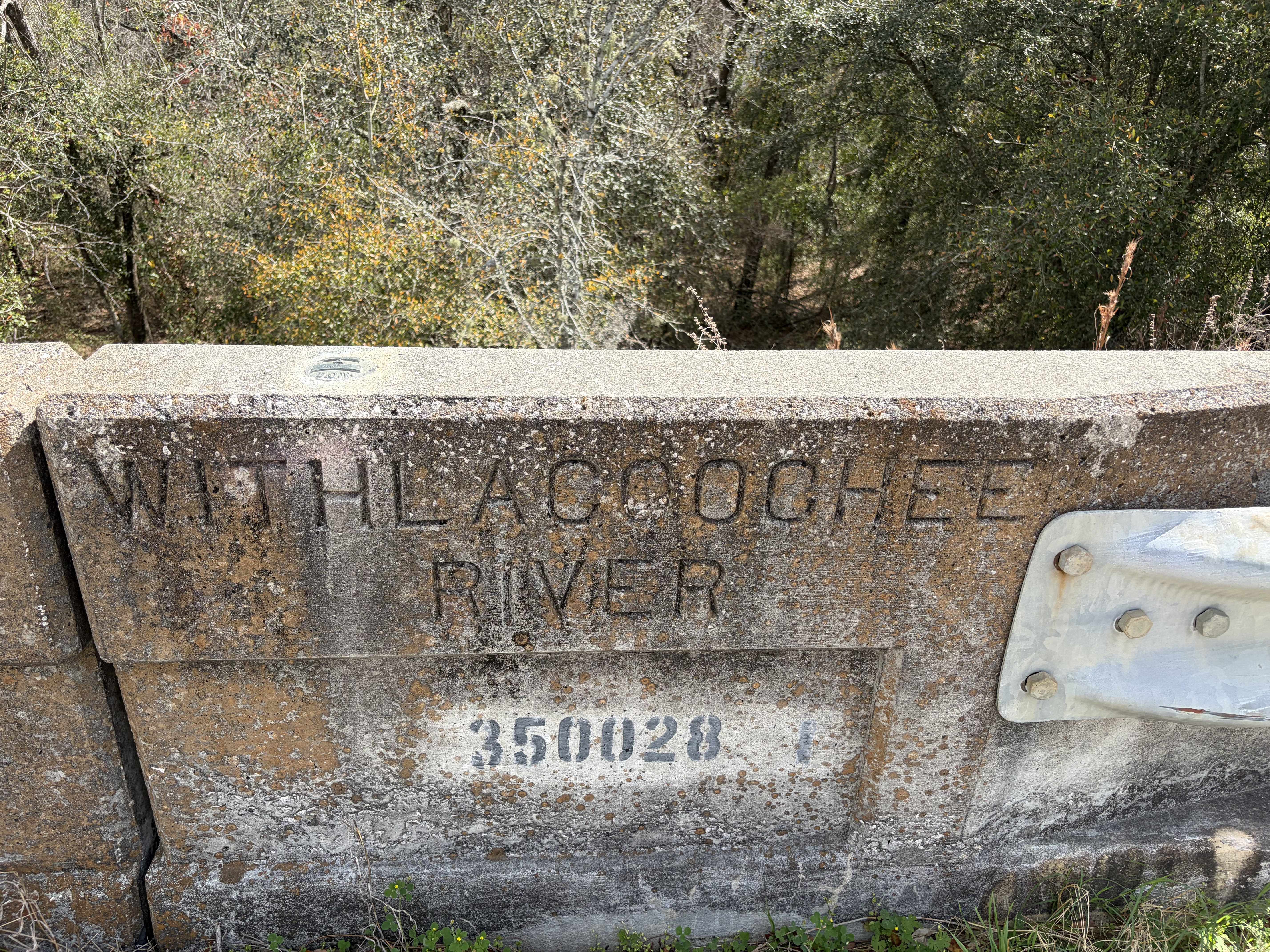
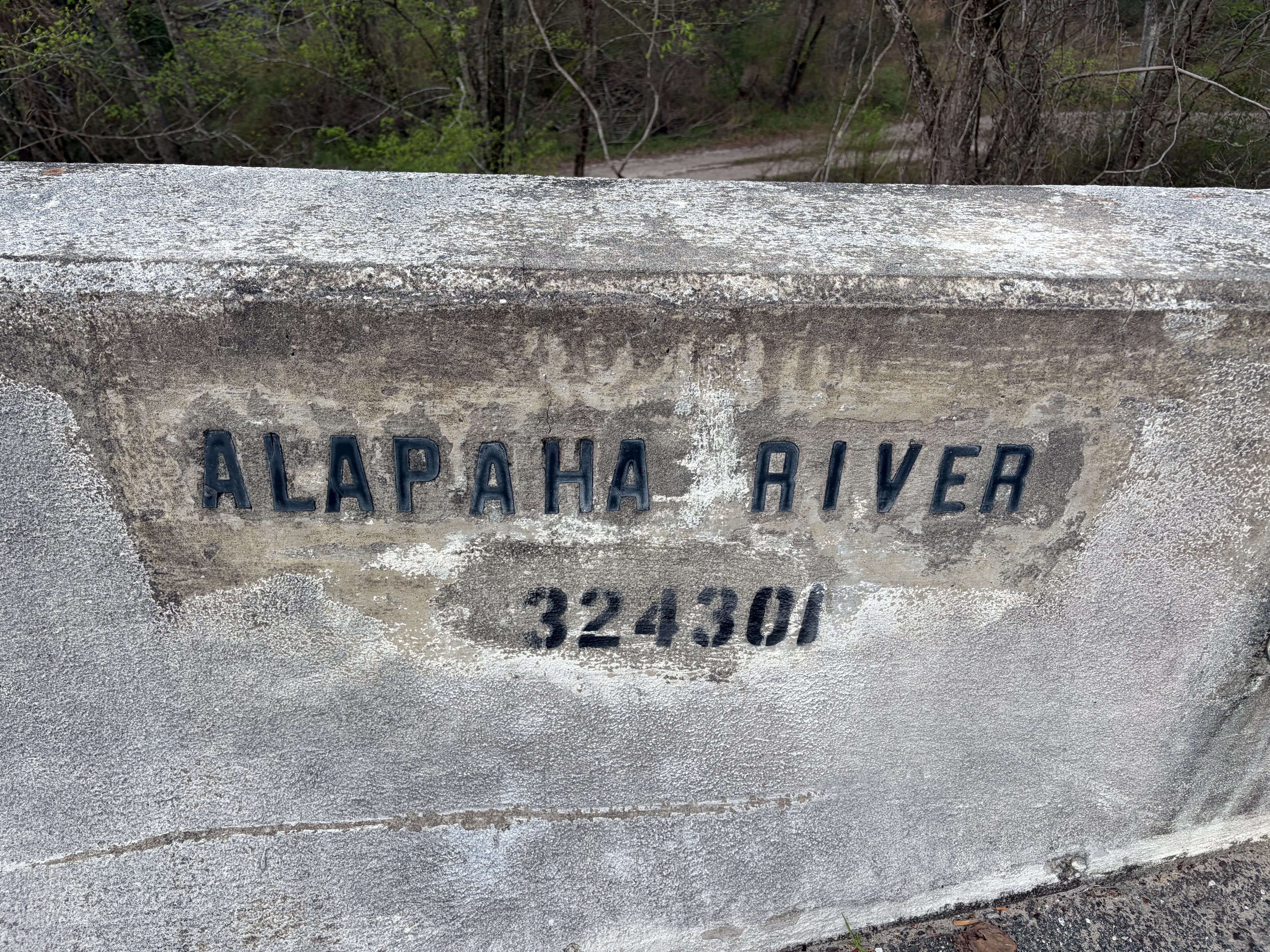
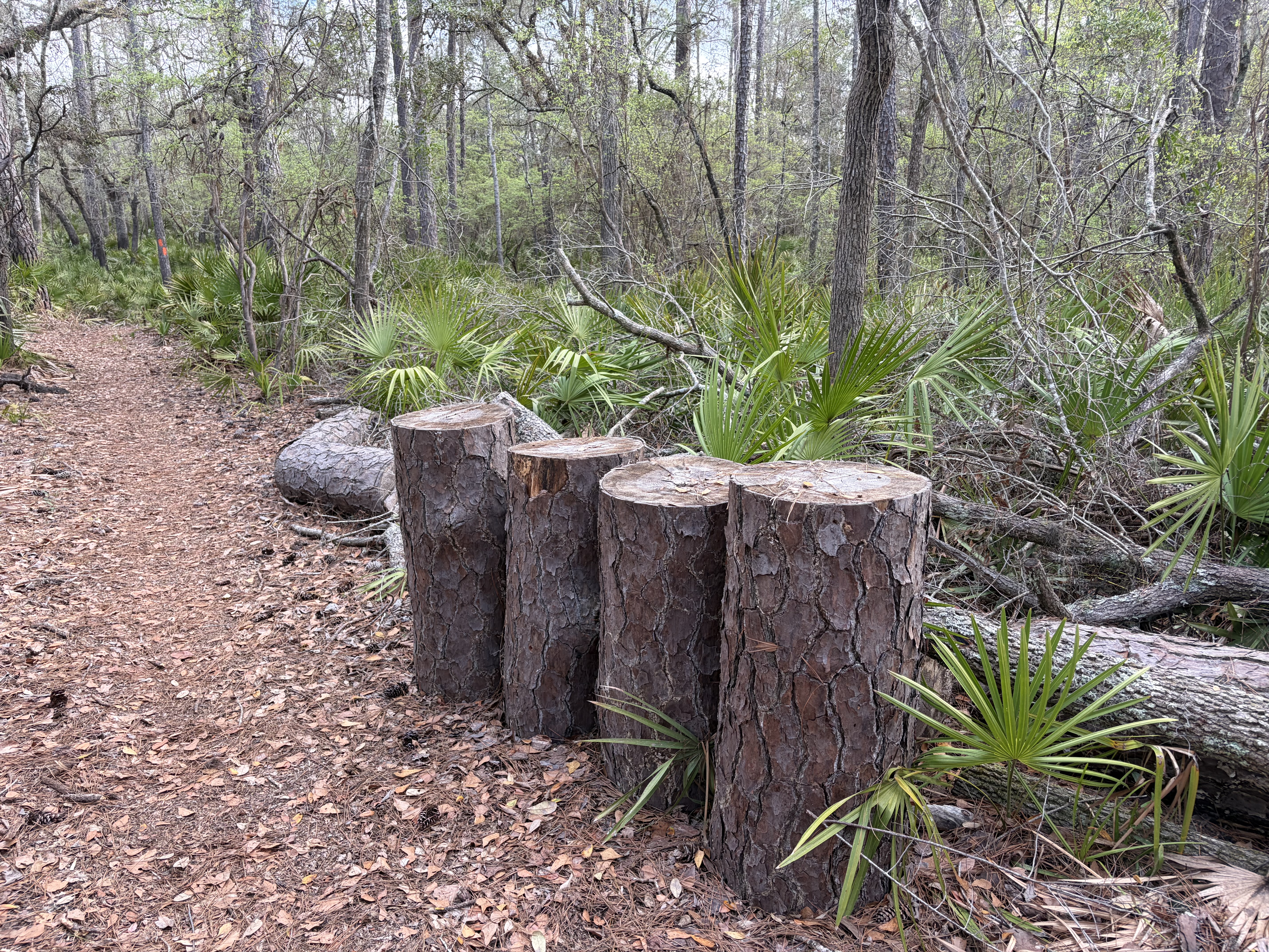
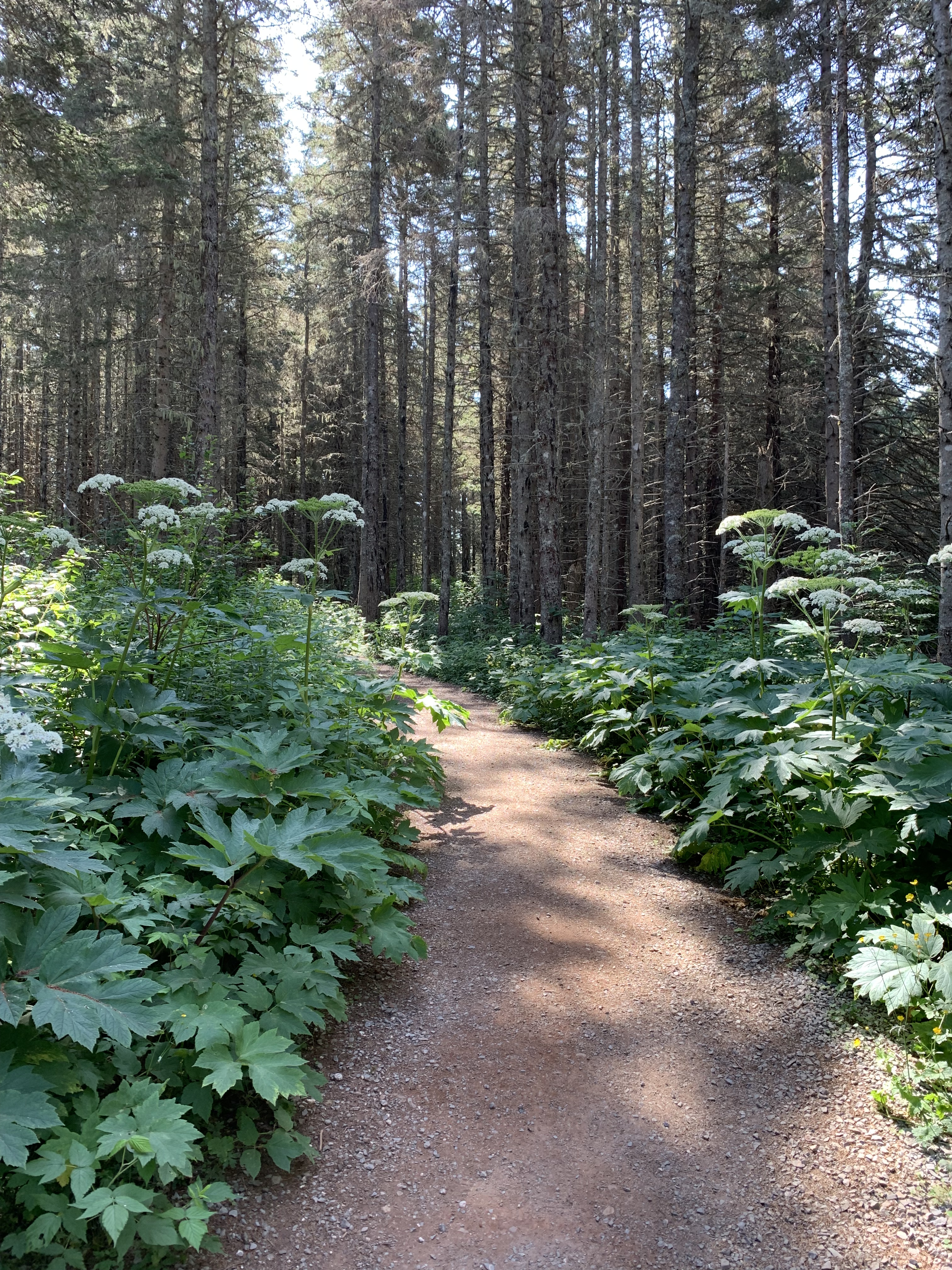
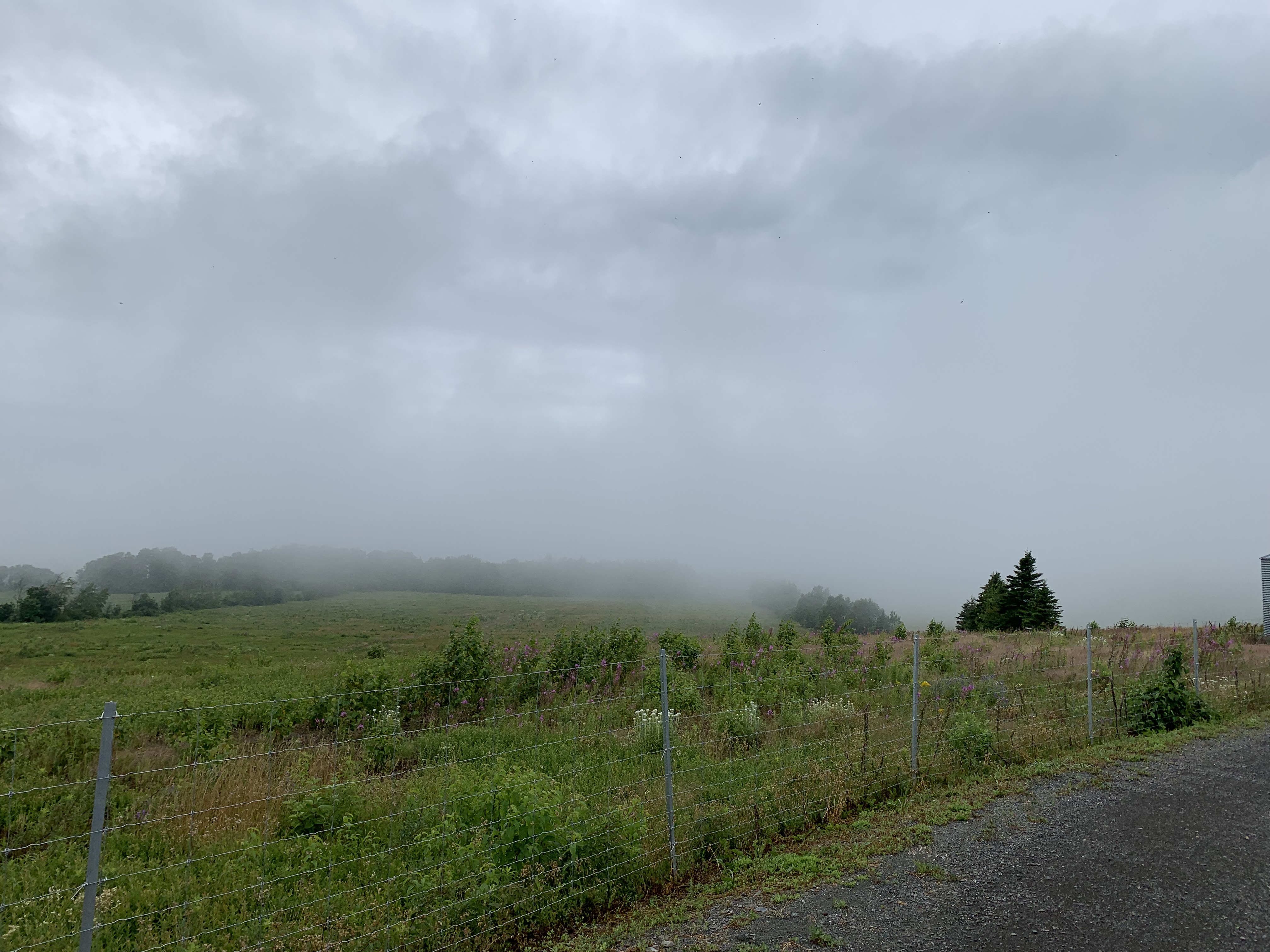
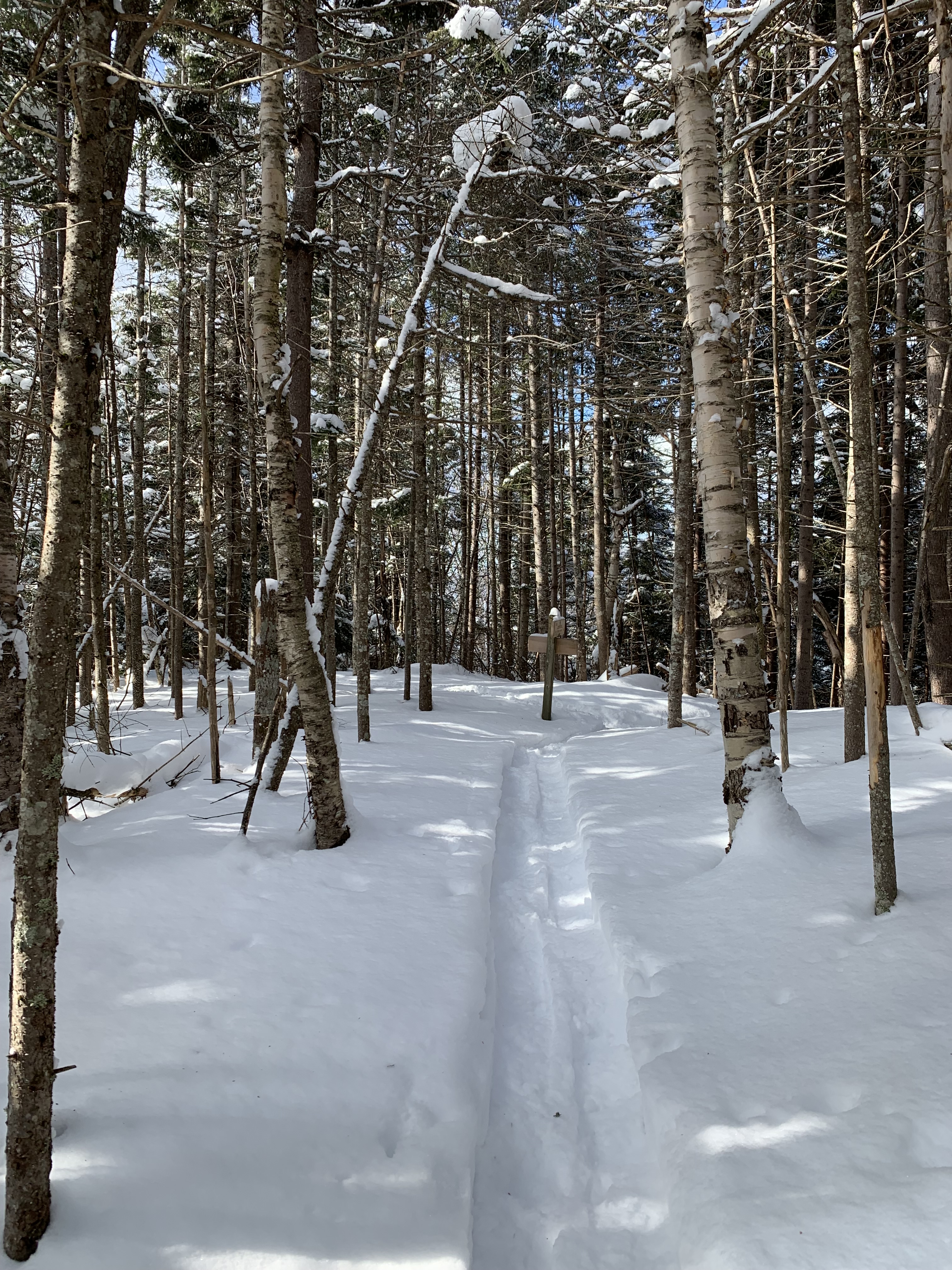
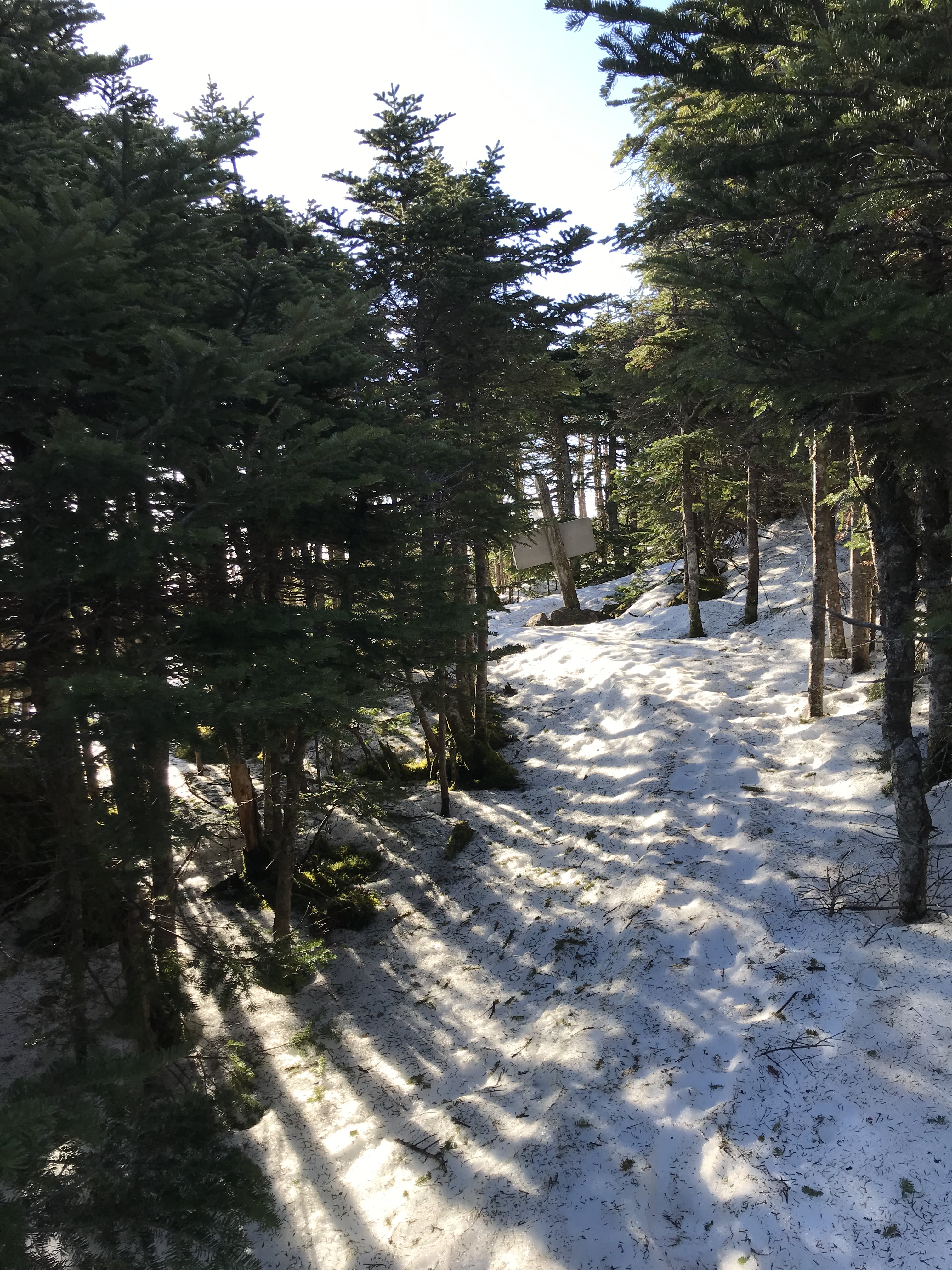
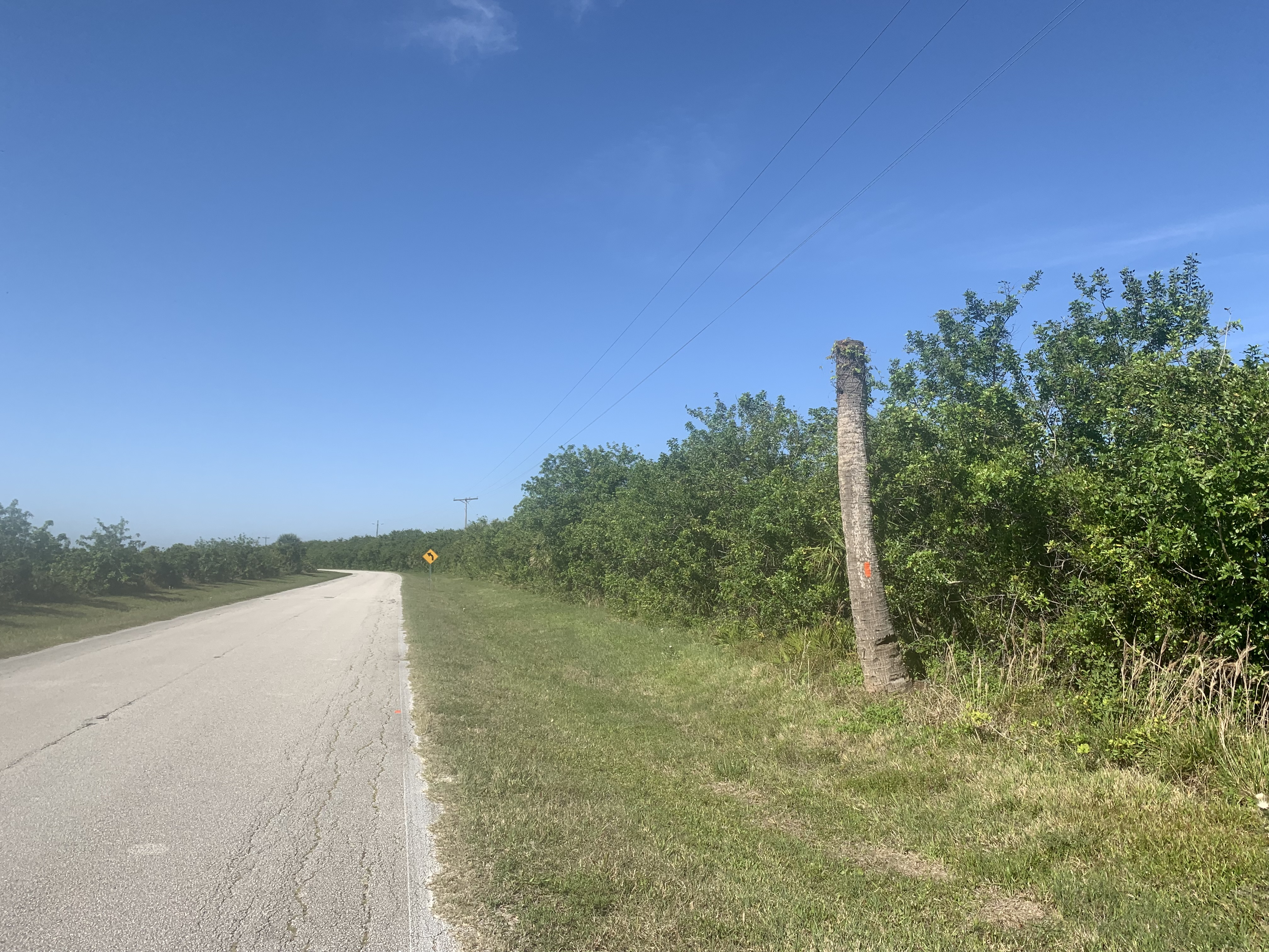
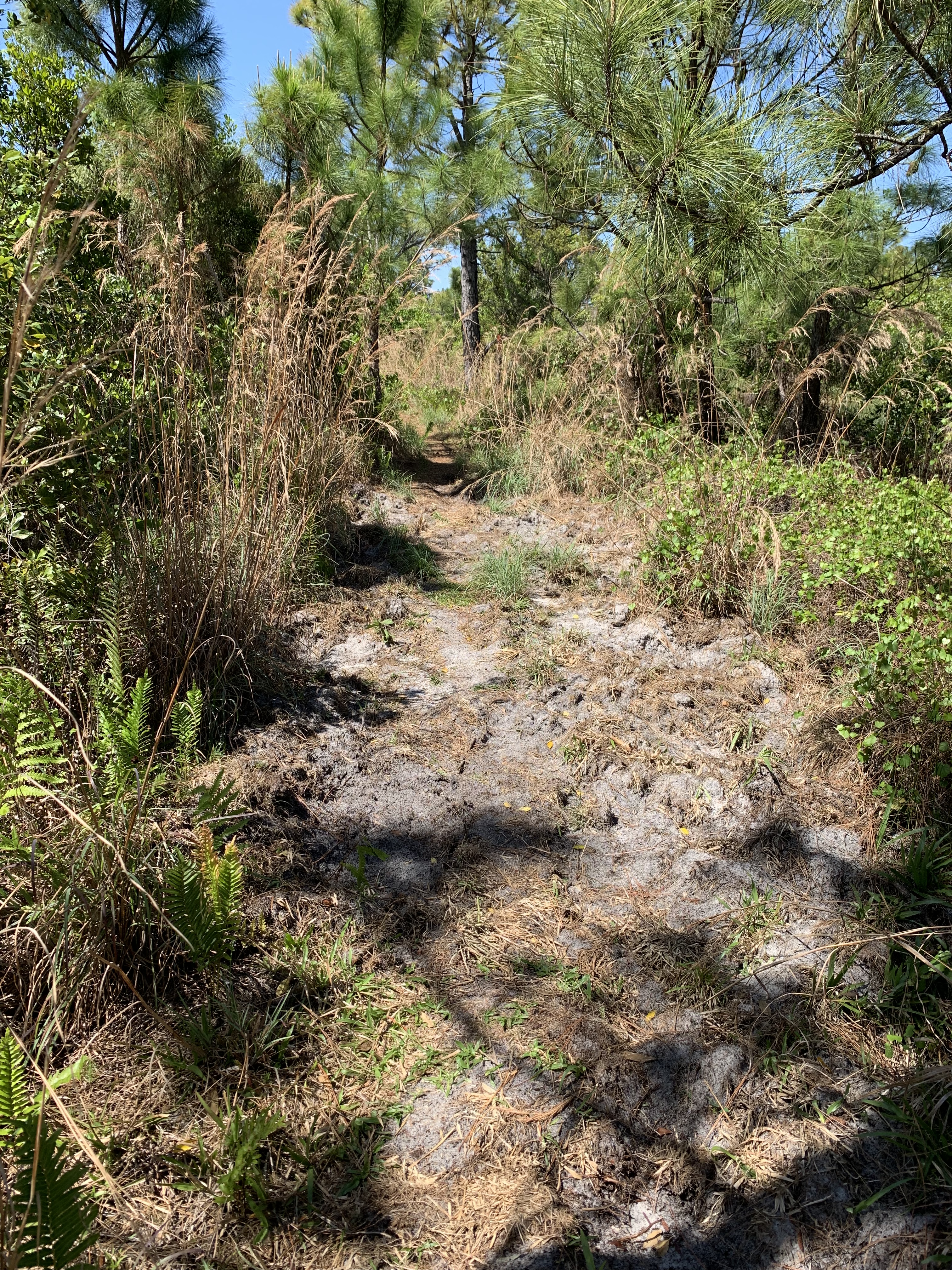
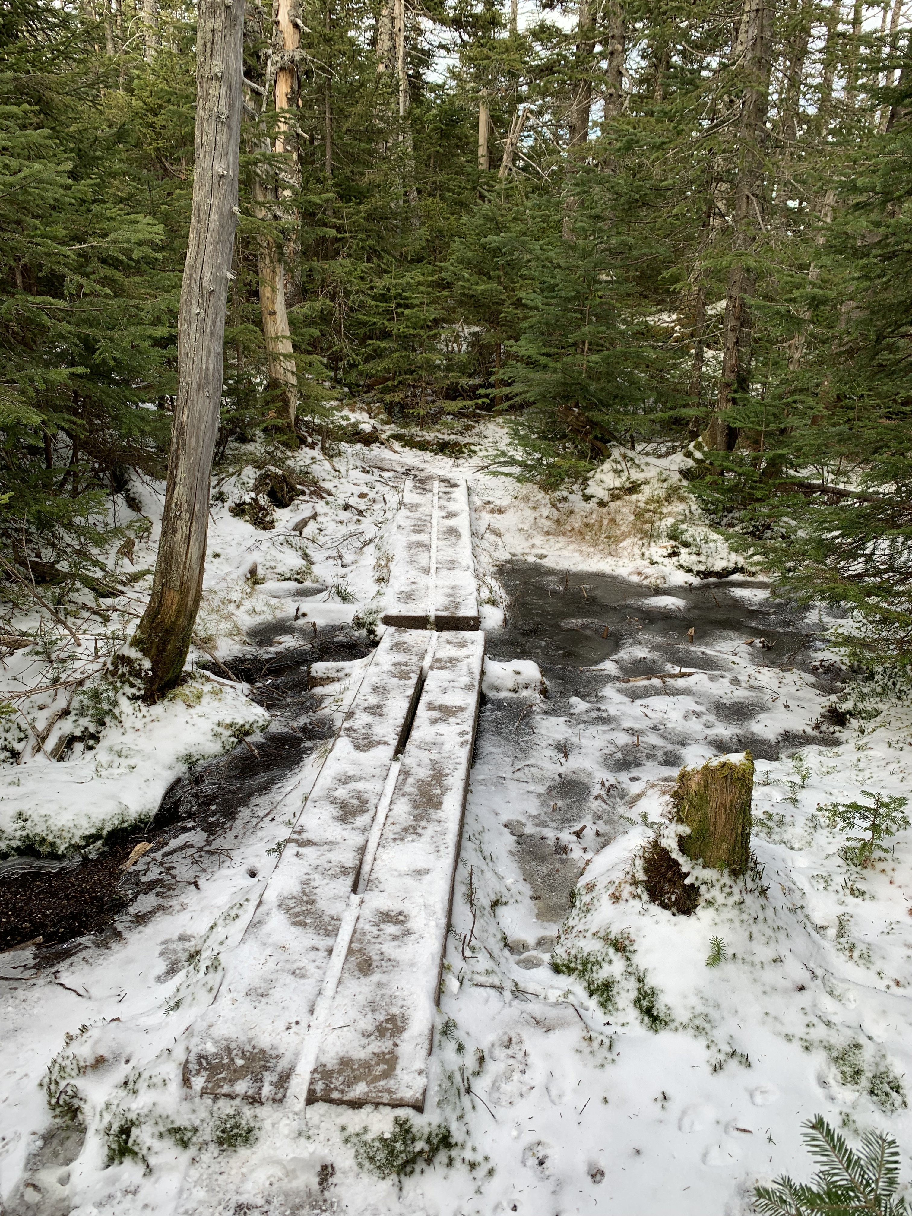
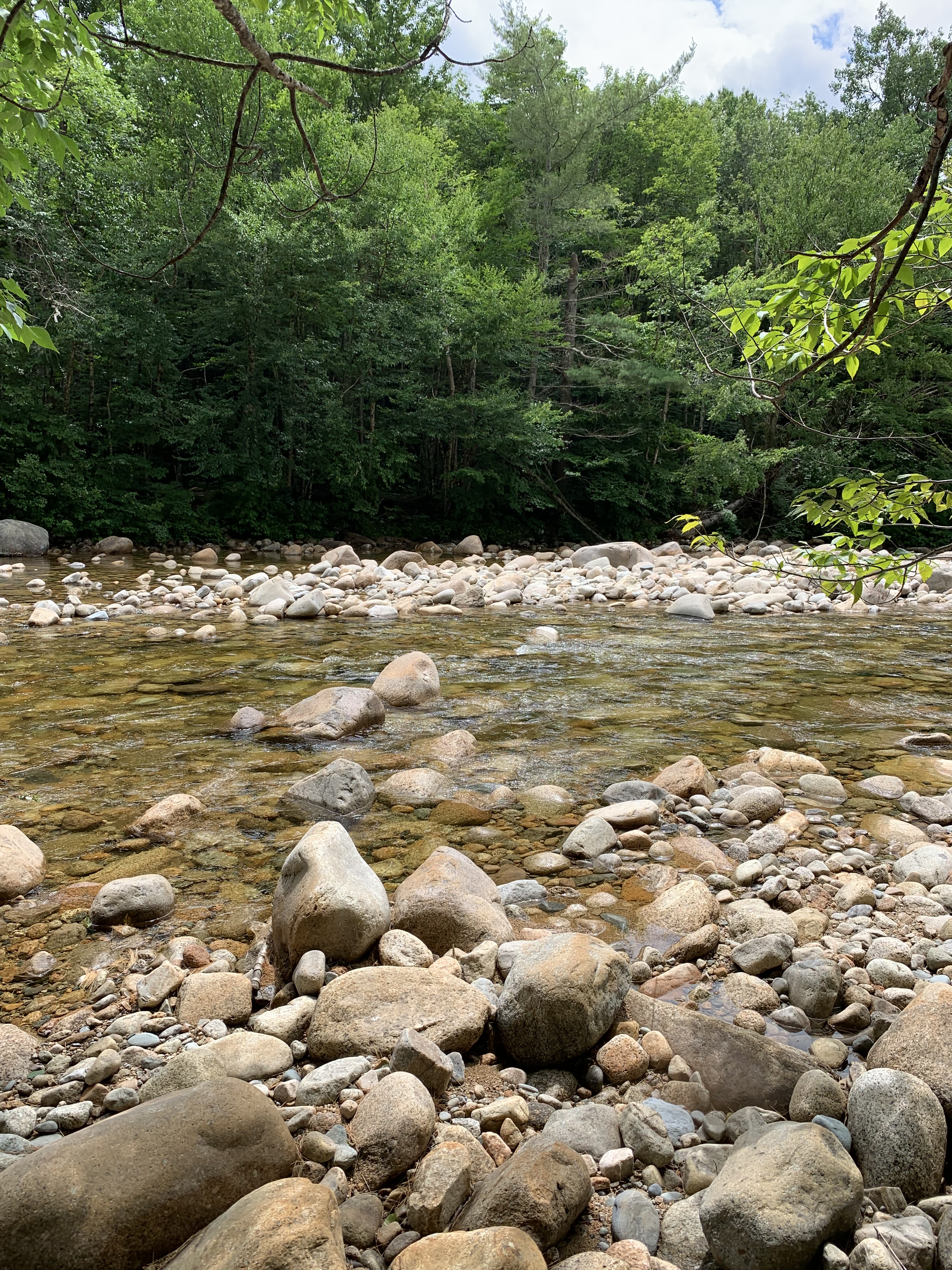
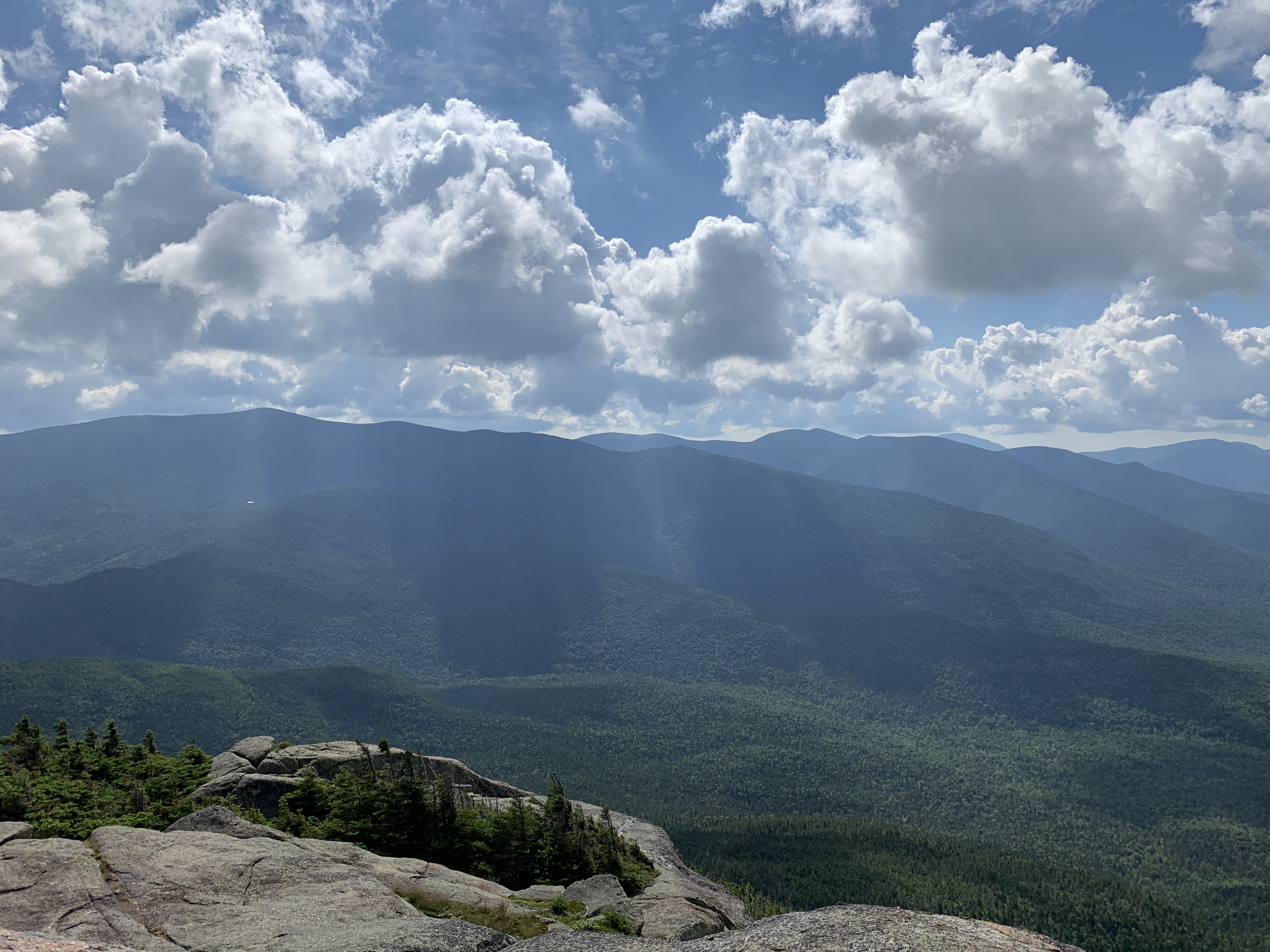
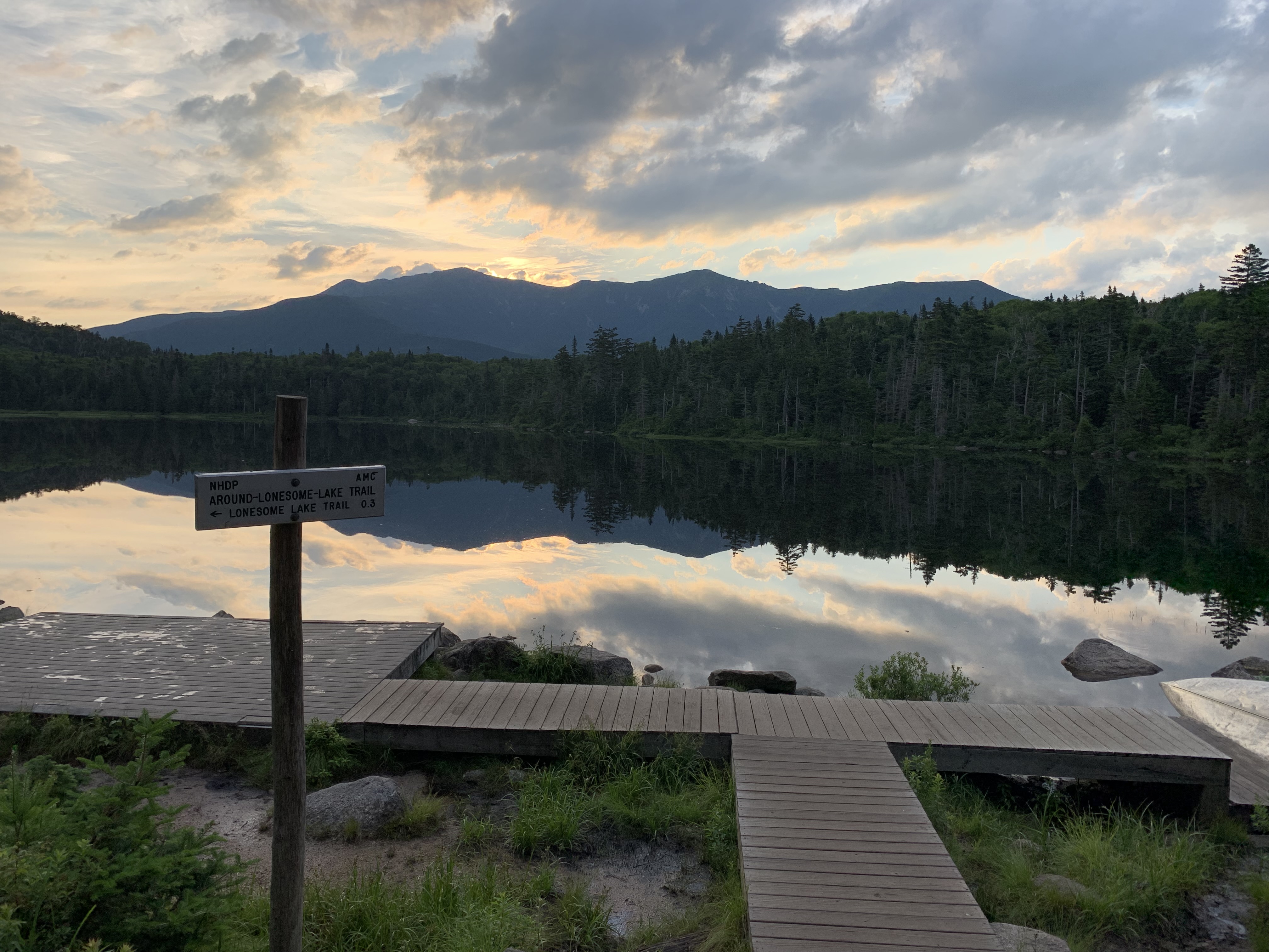
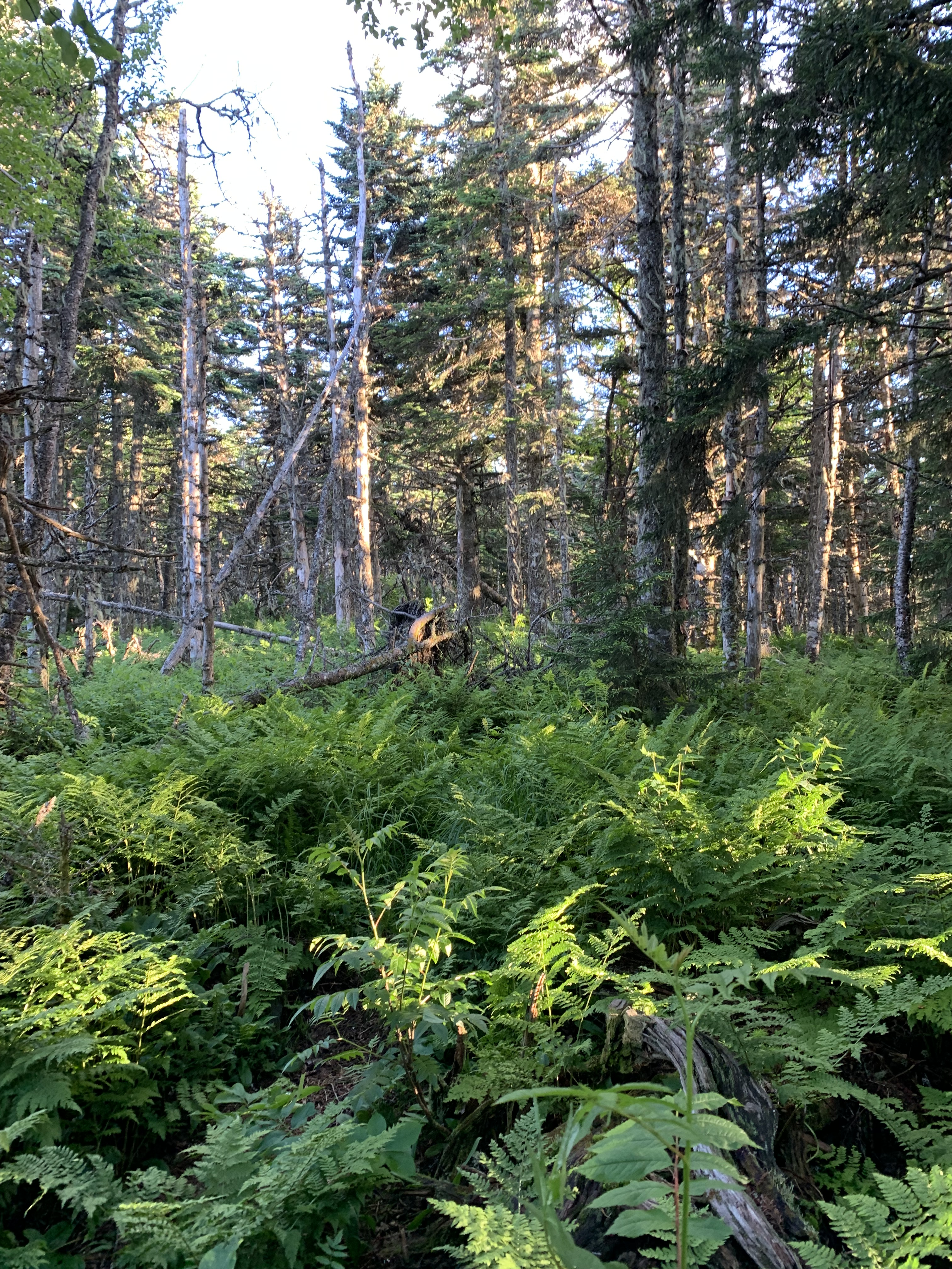
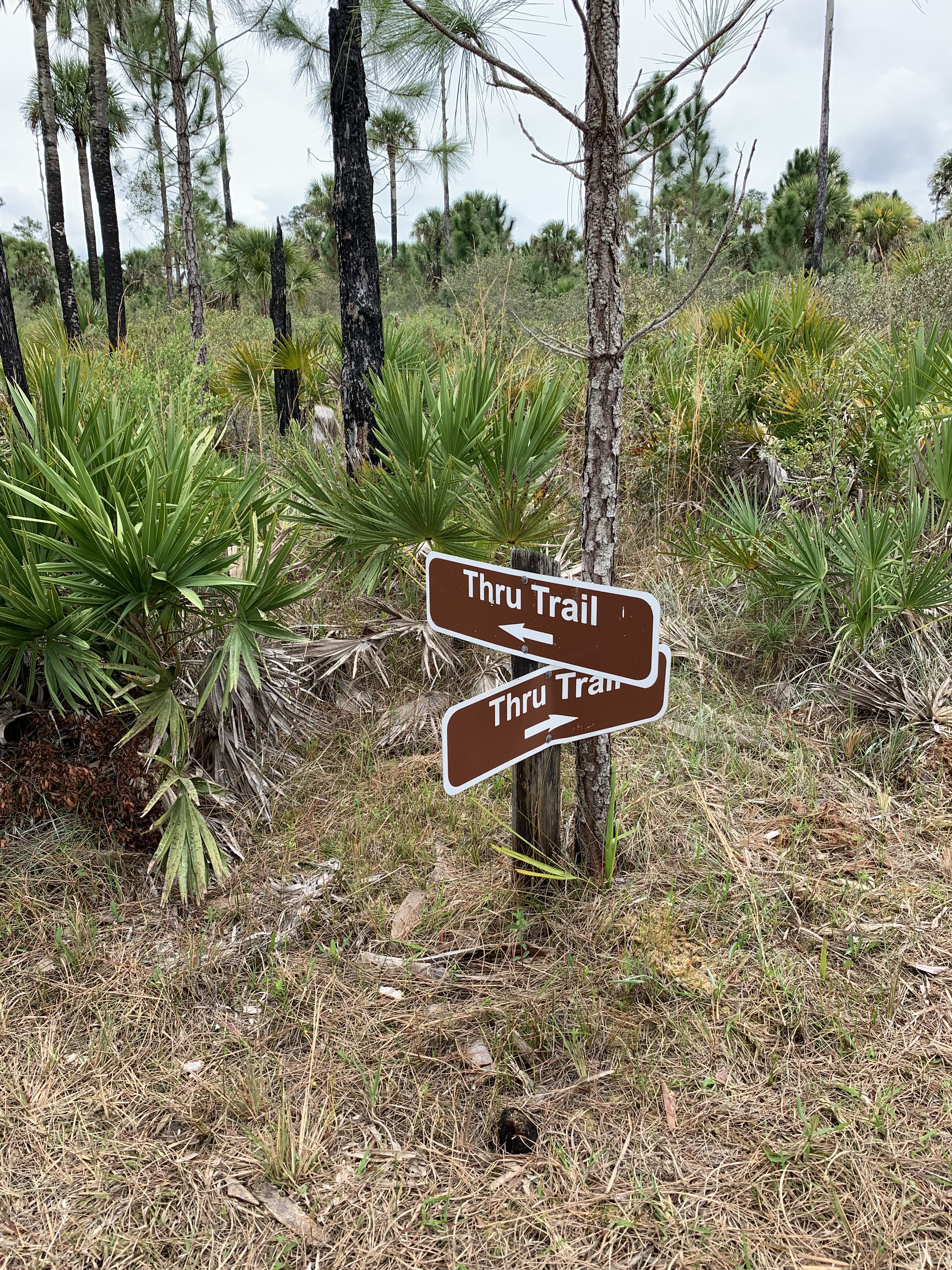
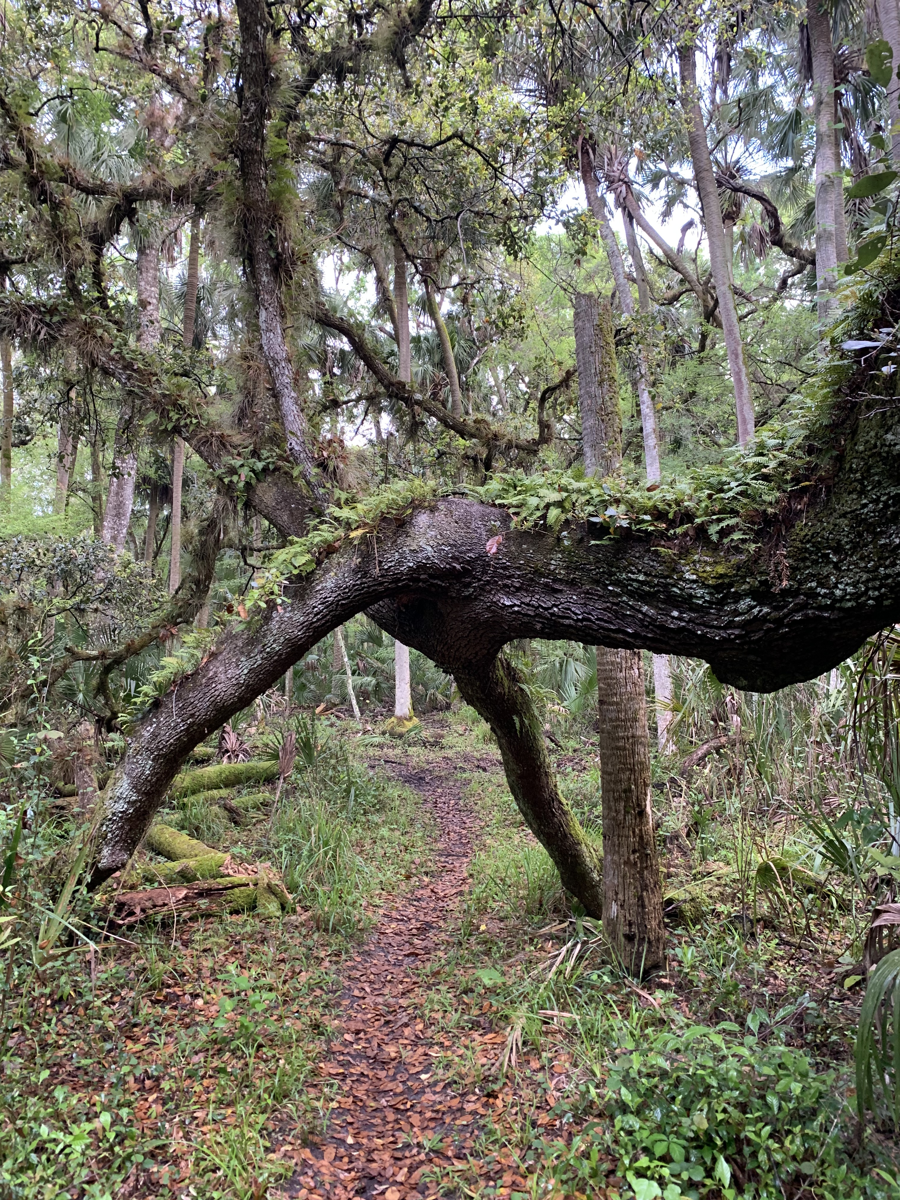
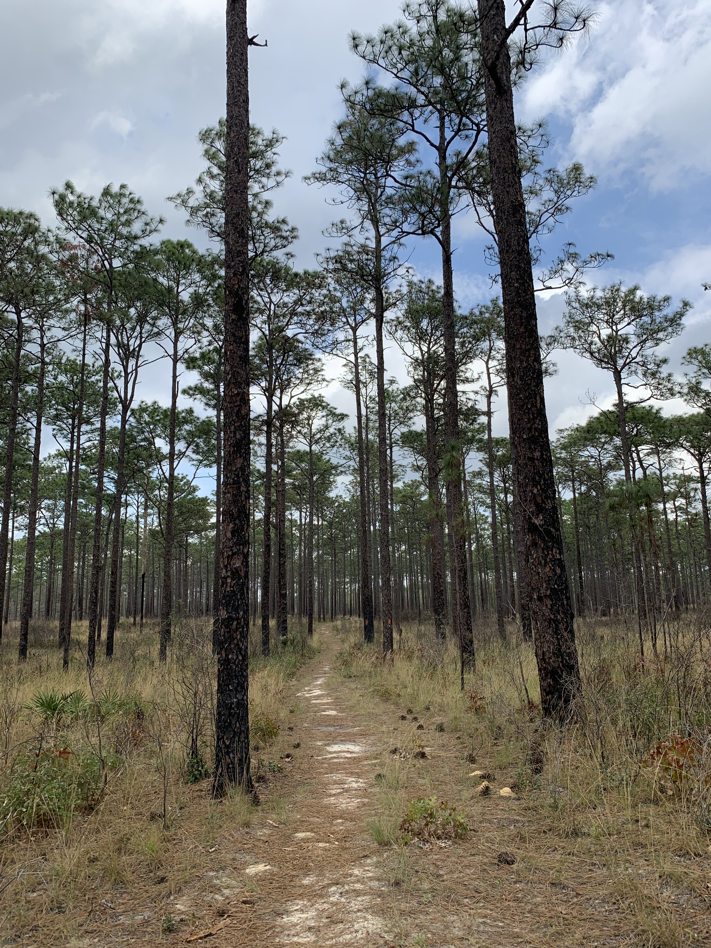
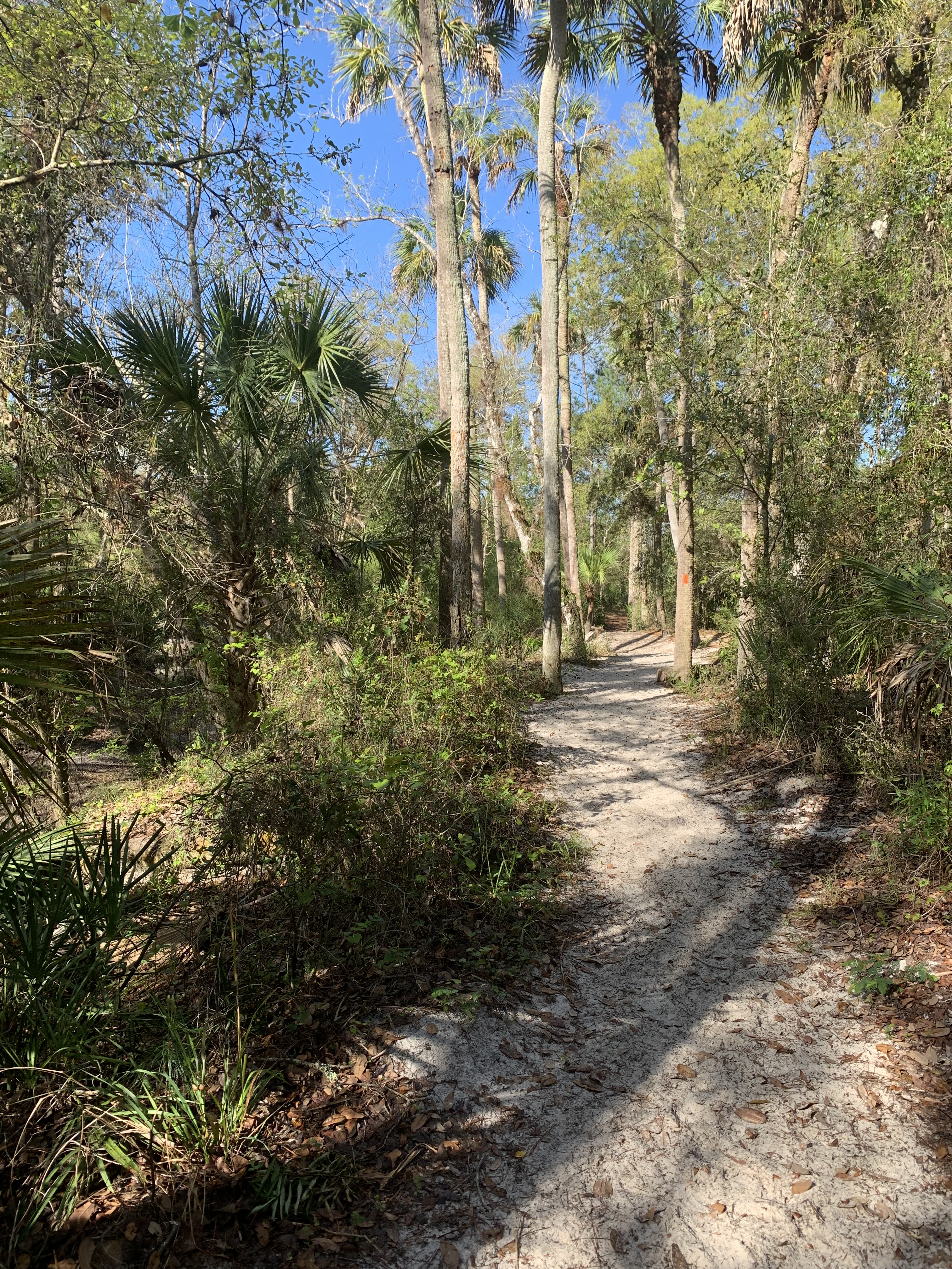
For the next sixty miles, I hug the Suwannee.
Tributaries occasionally force the trail away from the river, to a bridge or safer crossing, only to lead it gently back to banks high above tannin-tinted water.
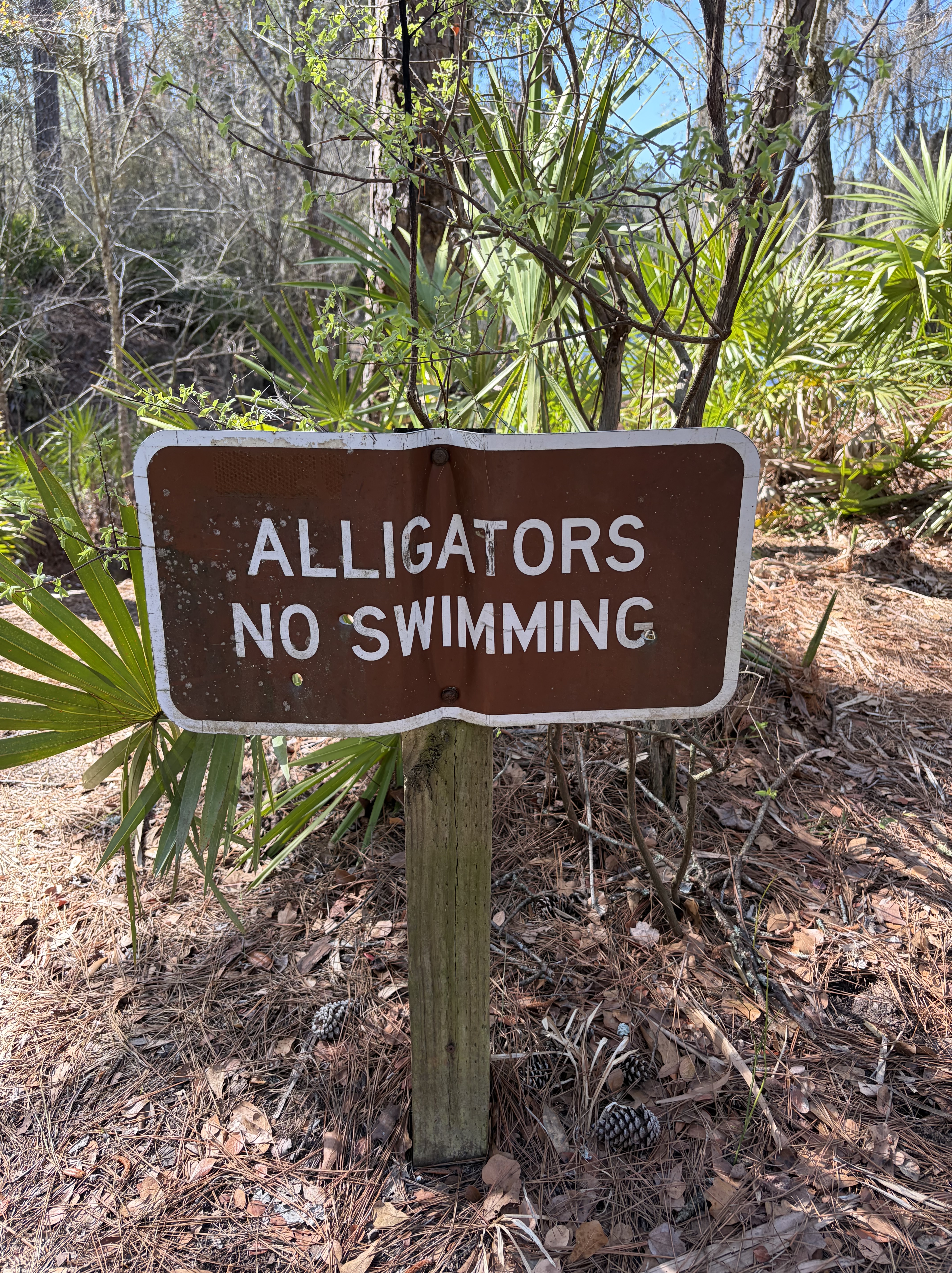
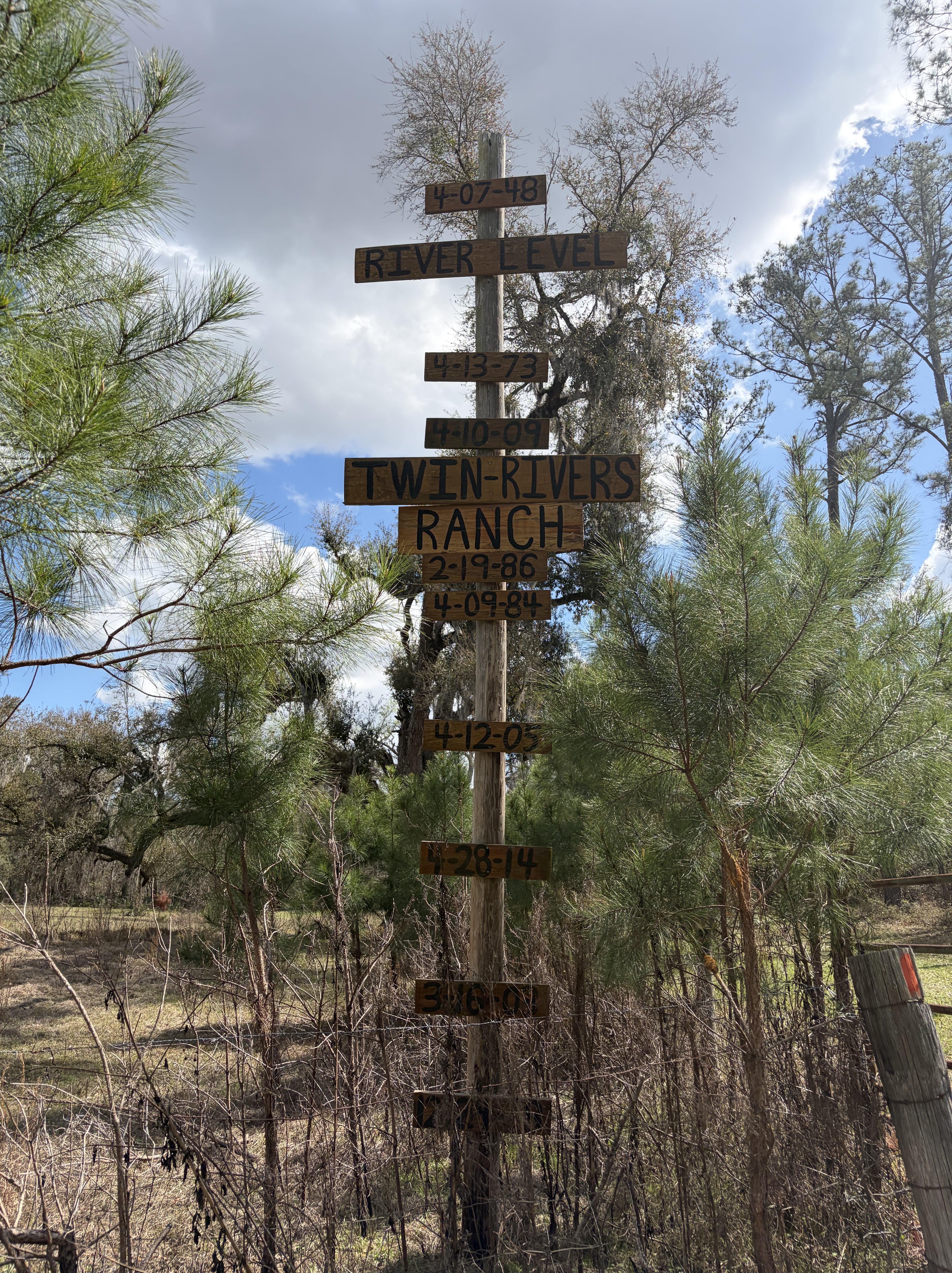
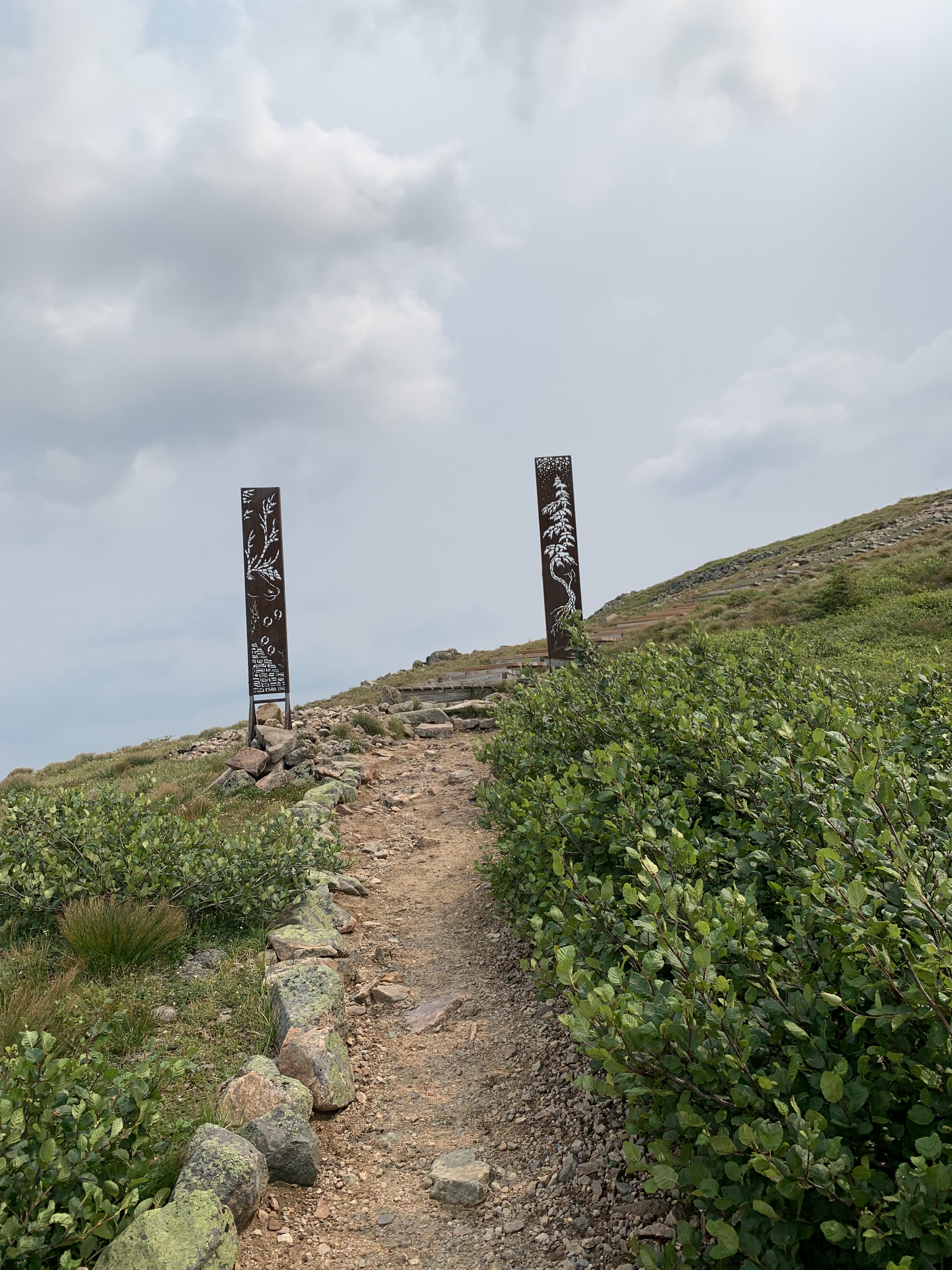
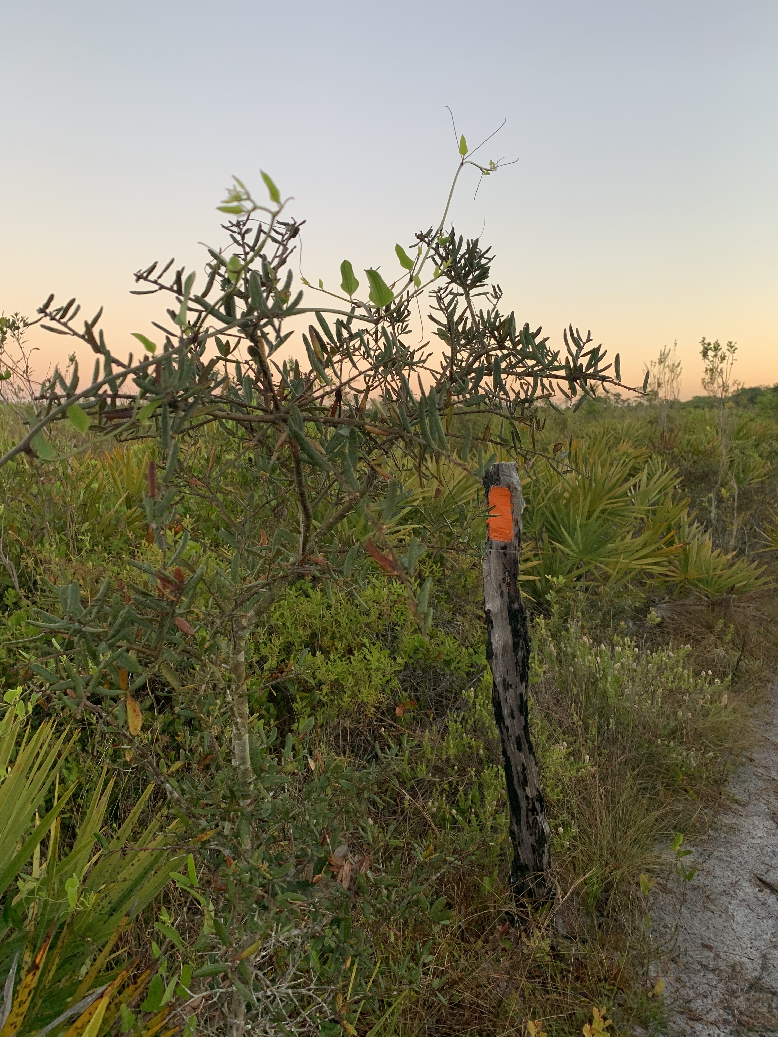
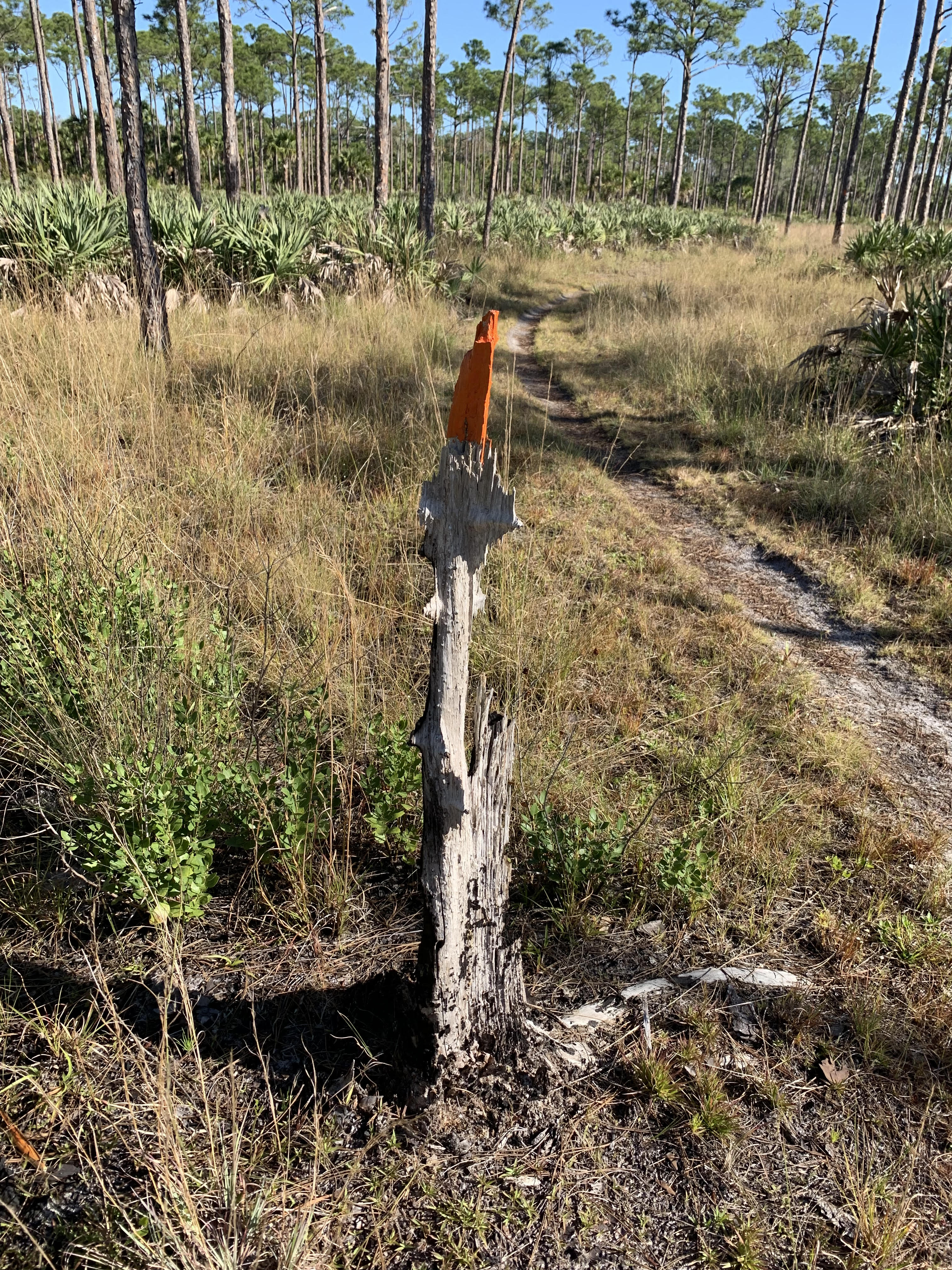
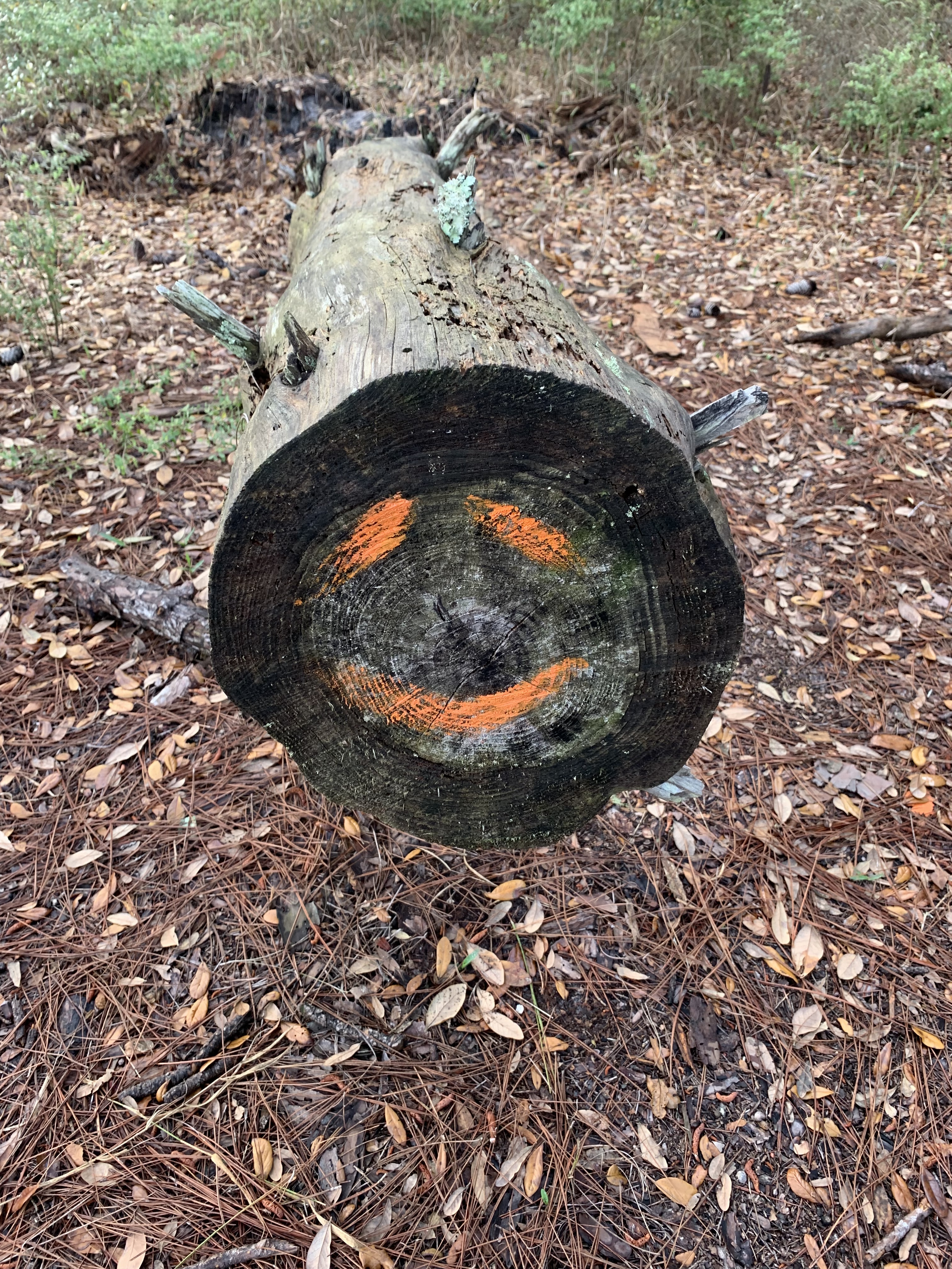
I pass an incredible sign which marks flood levels over the years. I stand at its base and try to imagine everything above my head covered with water.
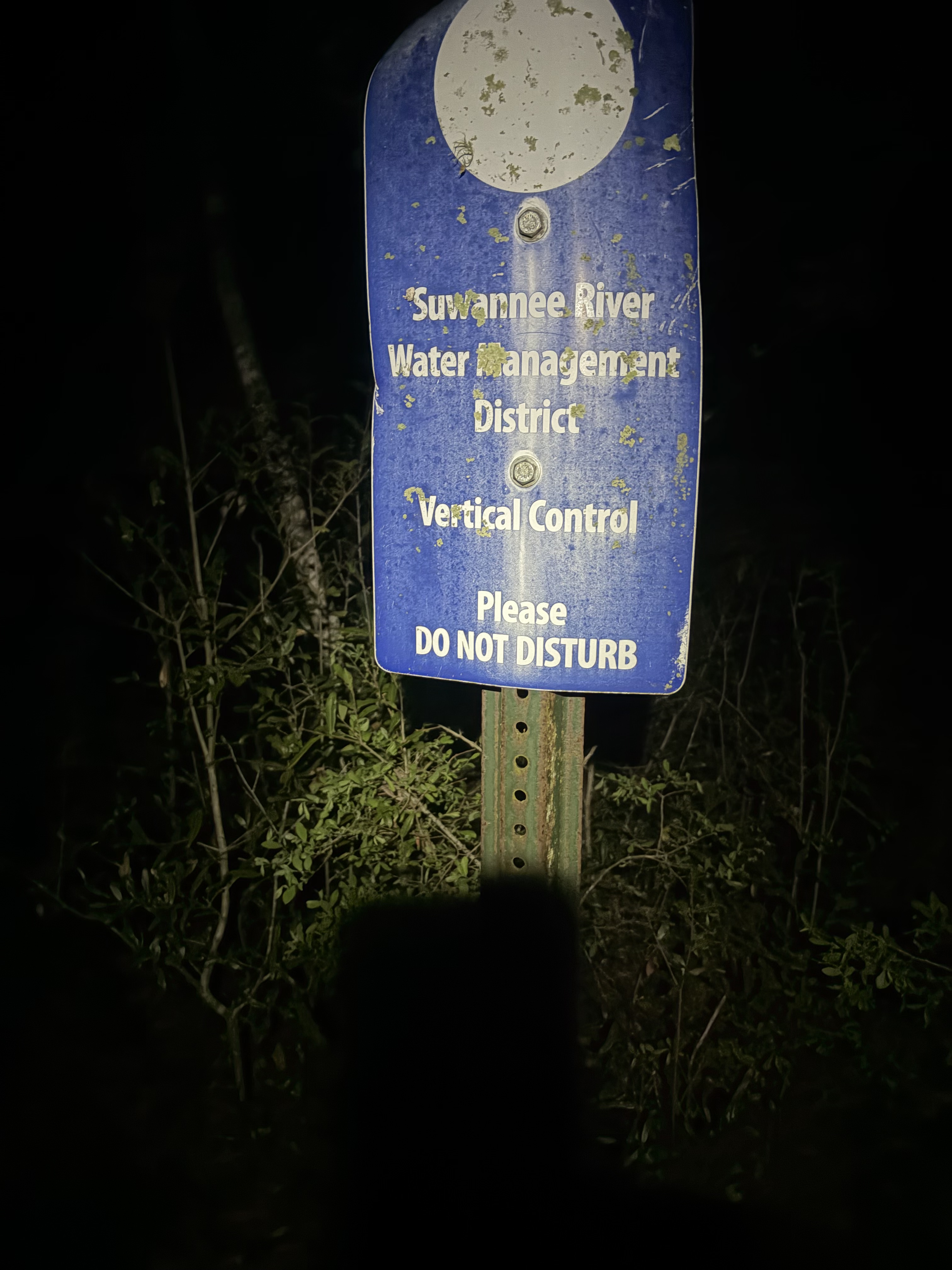
Other signs mark how the river is gauged over time. They, too, are high above the current stream, and I am grateful to finally complete this section without fear of drowning. I met two hikers a few years back who said they had been forced to swim in the very places where my feet were currently dry.
Yikes.
Of course it’s hot, even in the woods.
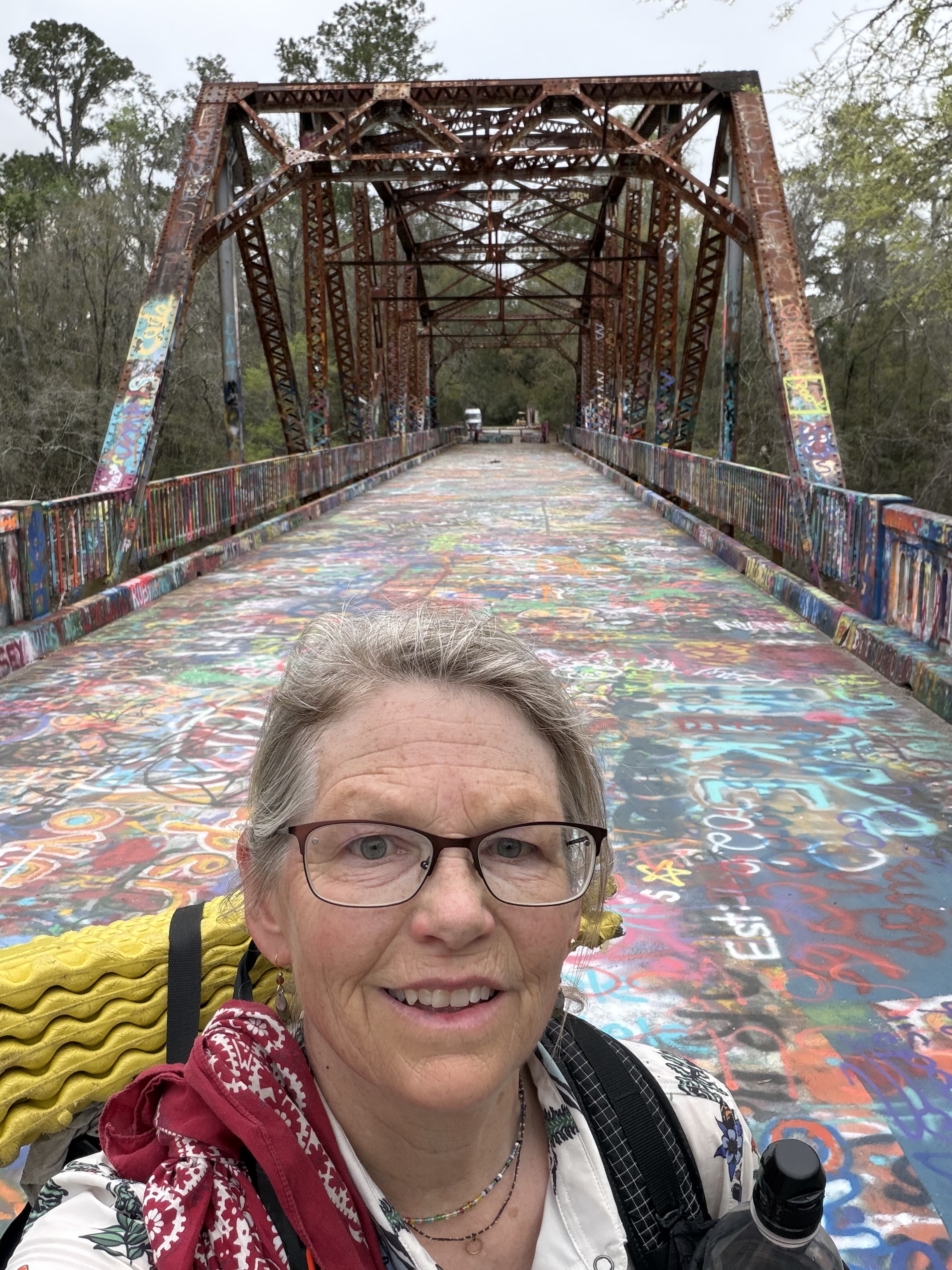
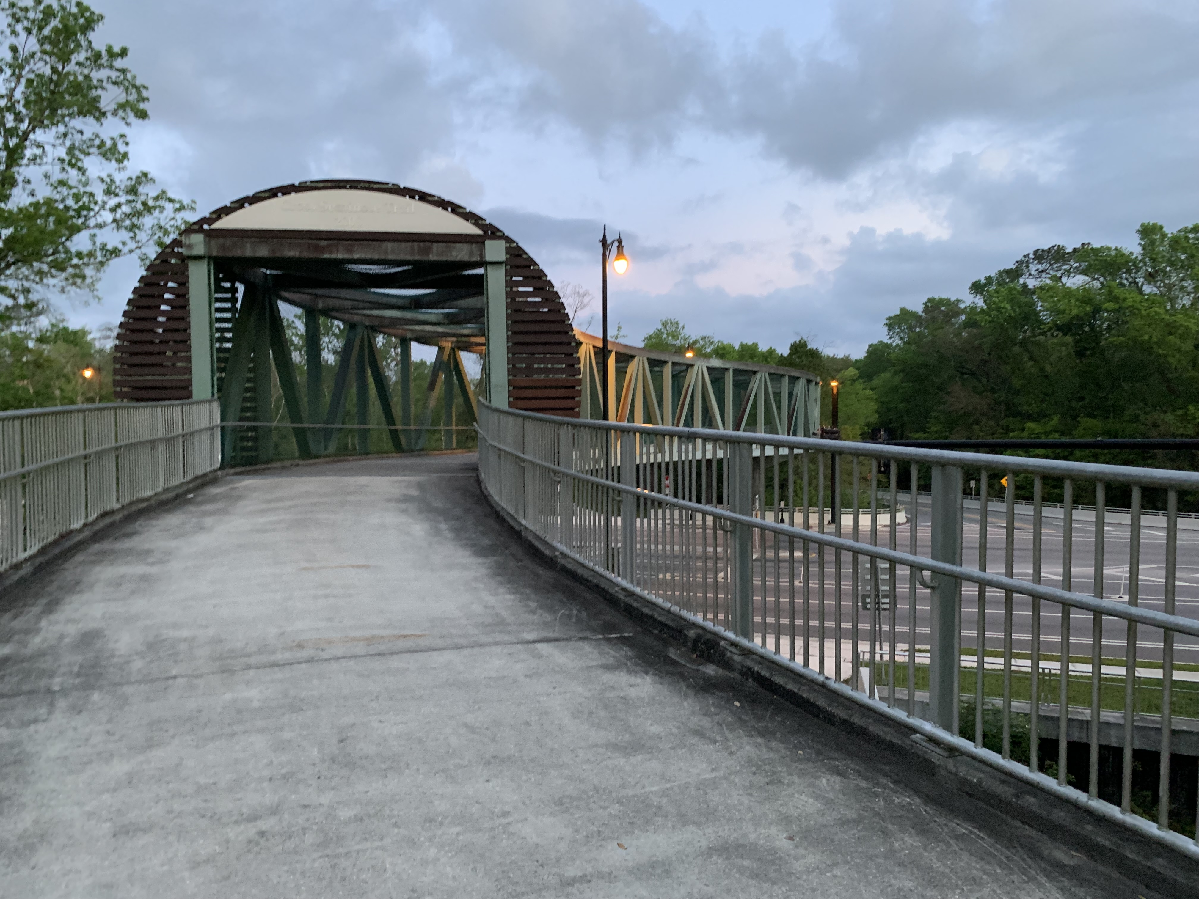
I detour when I can, to shady tables or over graffiti bridge, which leads to a mini mart and a bench where I chat amiably with a man named George who has lived here all his life.
I’m sad when he leaves and my phone is still charging, so I sit there, alone, and watch the traffic pass.
After five days, I’m closing in on White Springs. There’s no rush, only a long drive home ahead.
I love this trail.
I love the tiny twinkle of ant eyes in the dark as I bumble by.
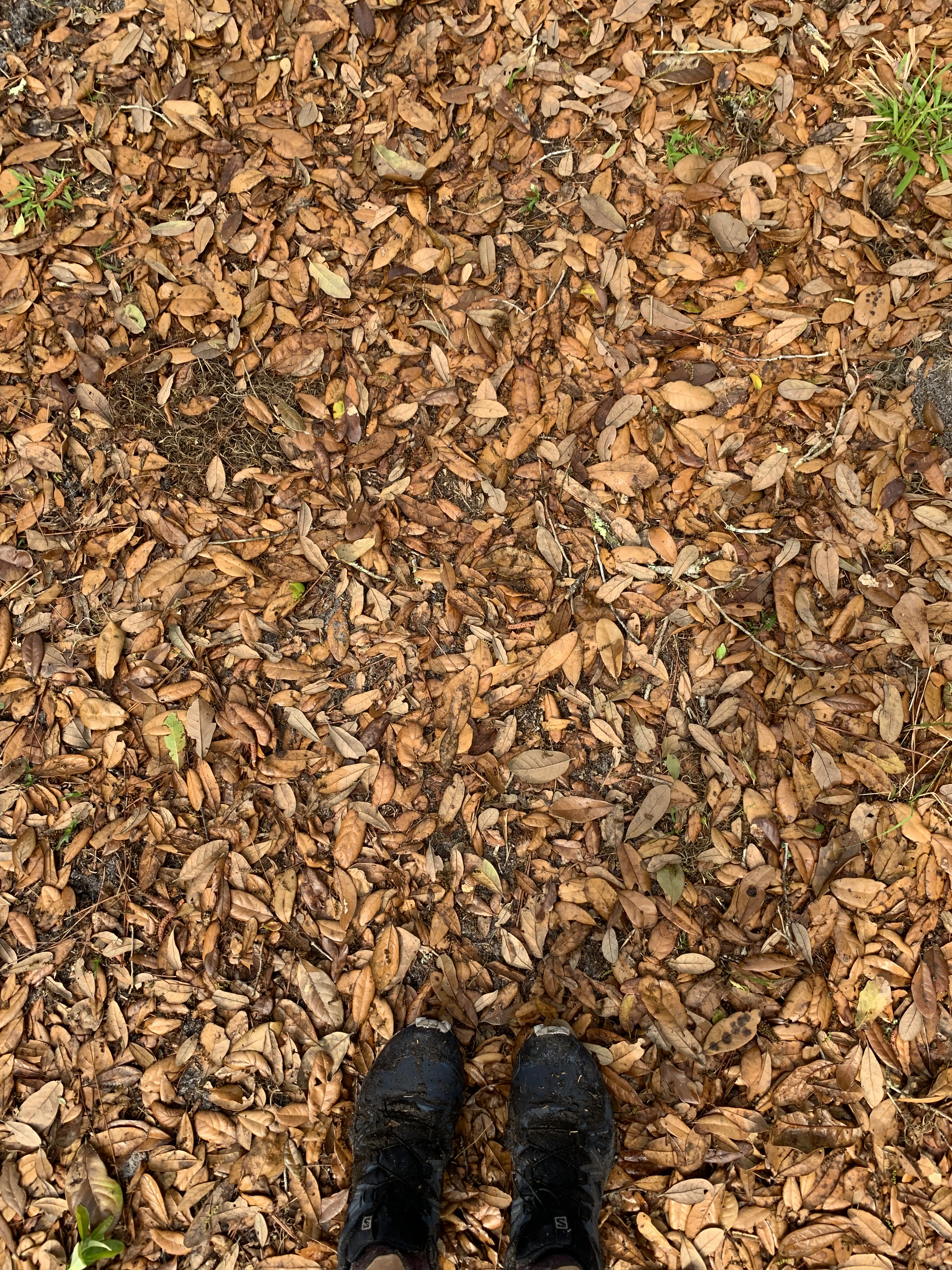
How pine needles and sun-baked leaves crepitate under my soles.
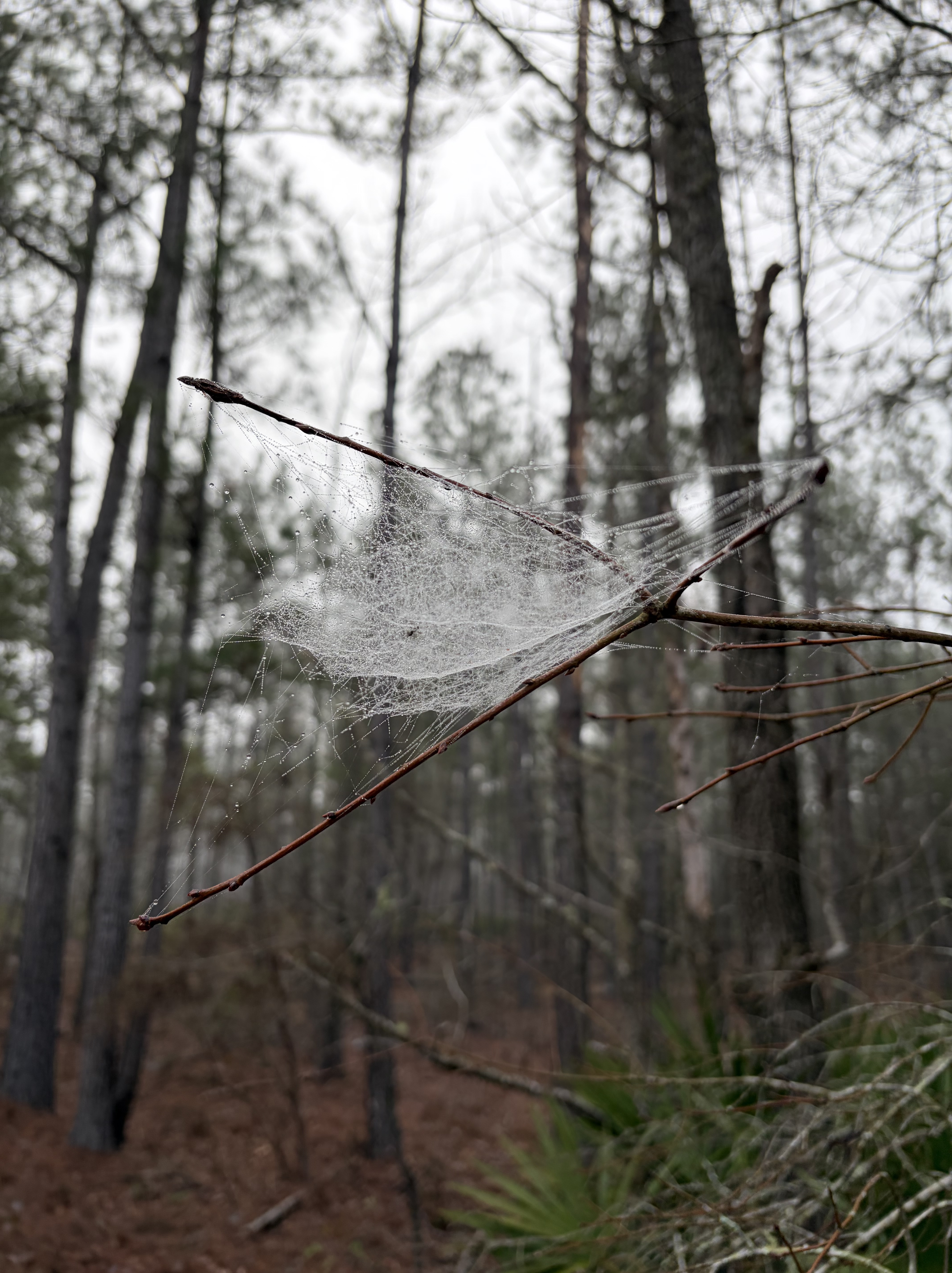
Gossamer leavings in the elbow of a branch.
Sweat in my eyes, the ache of a long, hard day.
It’s the perfect antidote for a long school season, and the reason I return every March.
About a week ago, I saw a window between duty and the many appointments dealing with my injury.
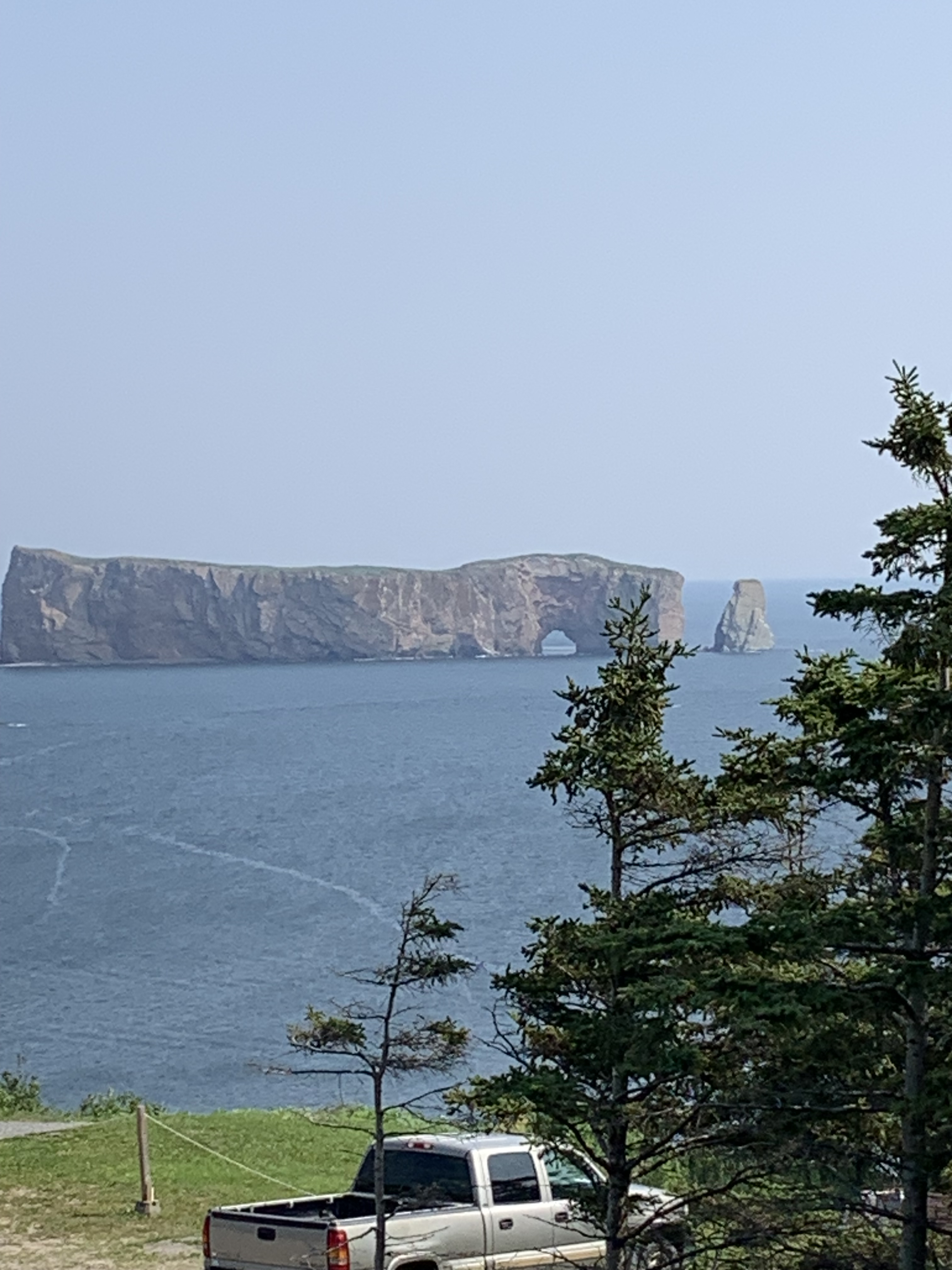
Impulsively, I packed up the car and set out early one morning to drive to the Gaspe Peninsula, a place I’ve long wanted to explore.
I’m so glad I did. So much beauty packed onto one spit of land, it wasn’t possible to see it all in one short week.
So many trees!
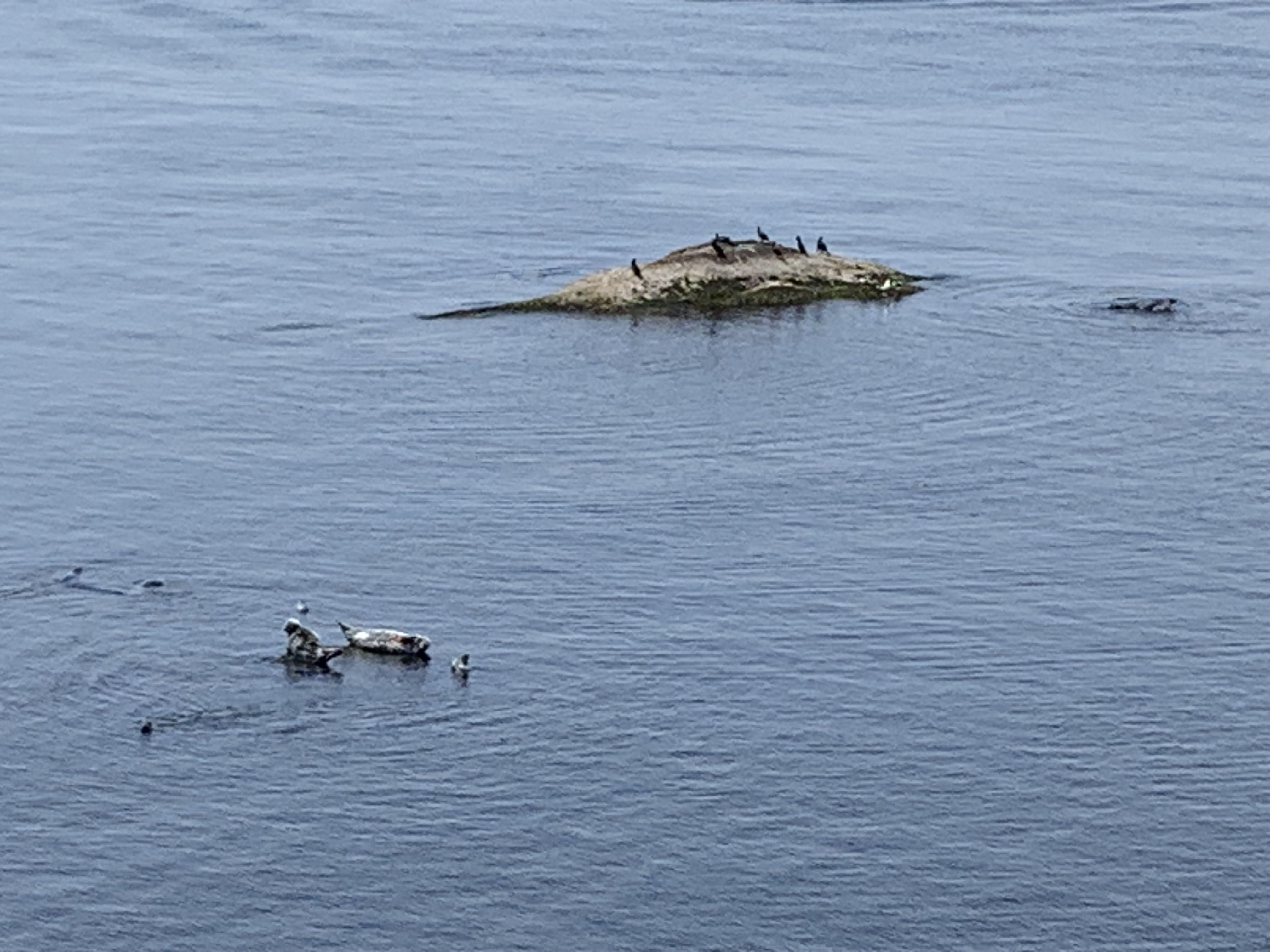
And seals that howled like wolves.
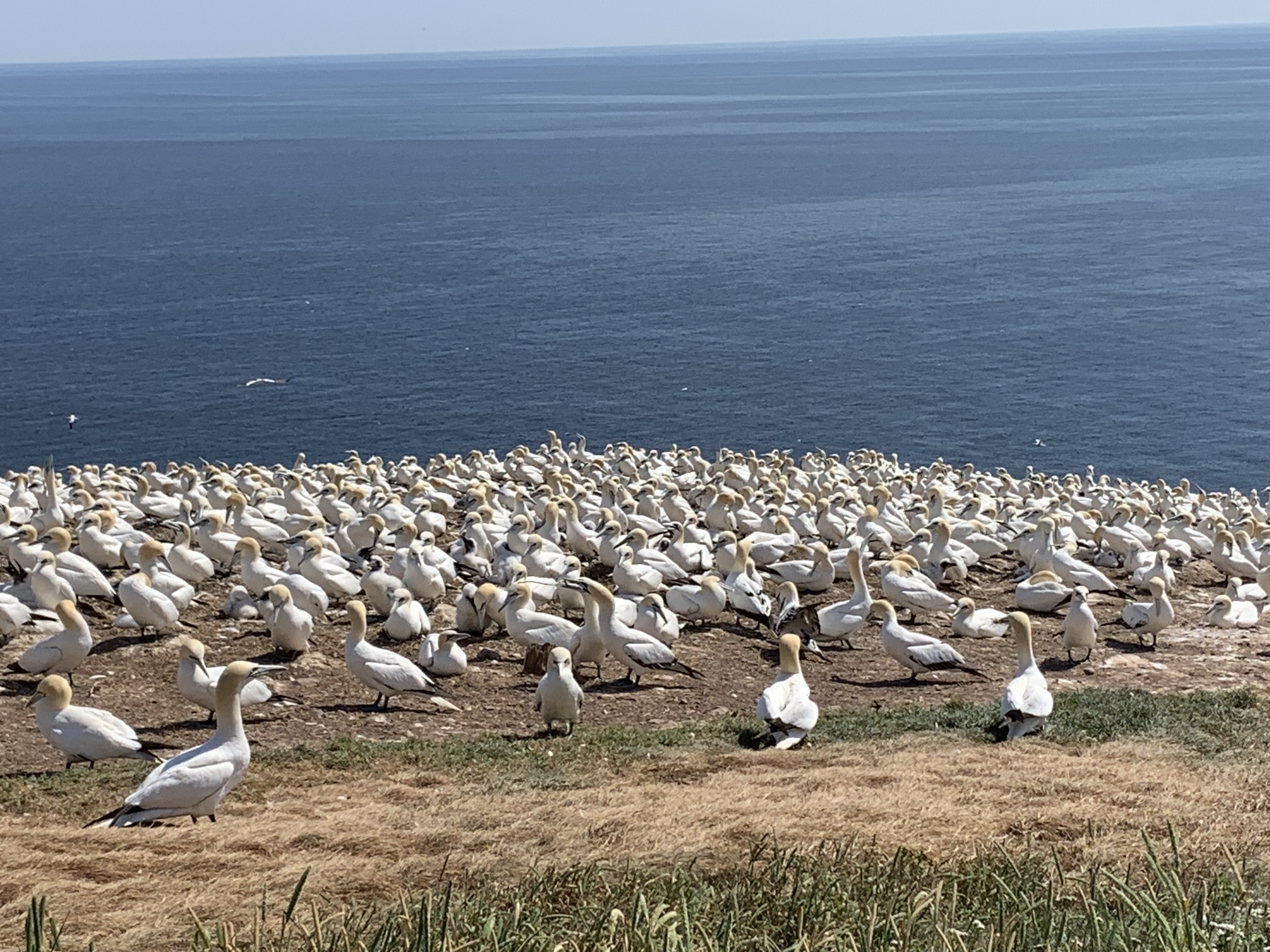
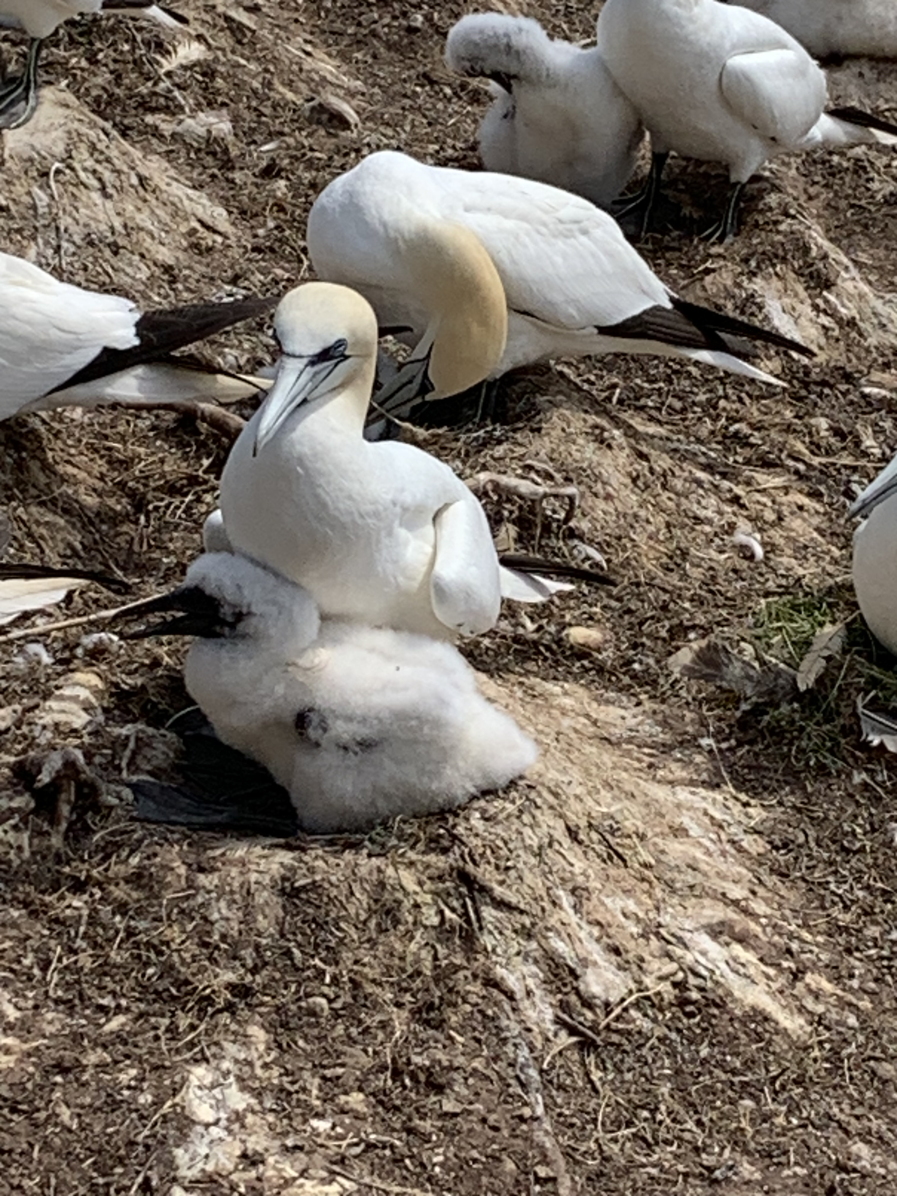
The largest colony of Northern Gannets, squawking and tussling like my middle school students.
Rocks everywhere, grand and common.
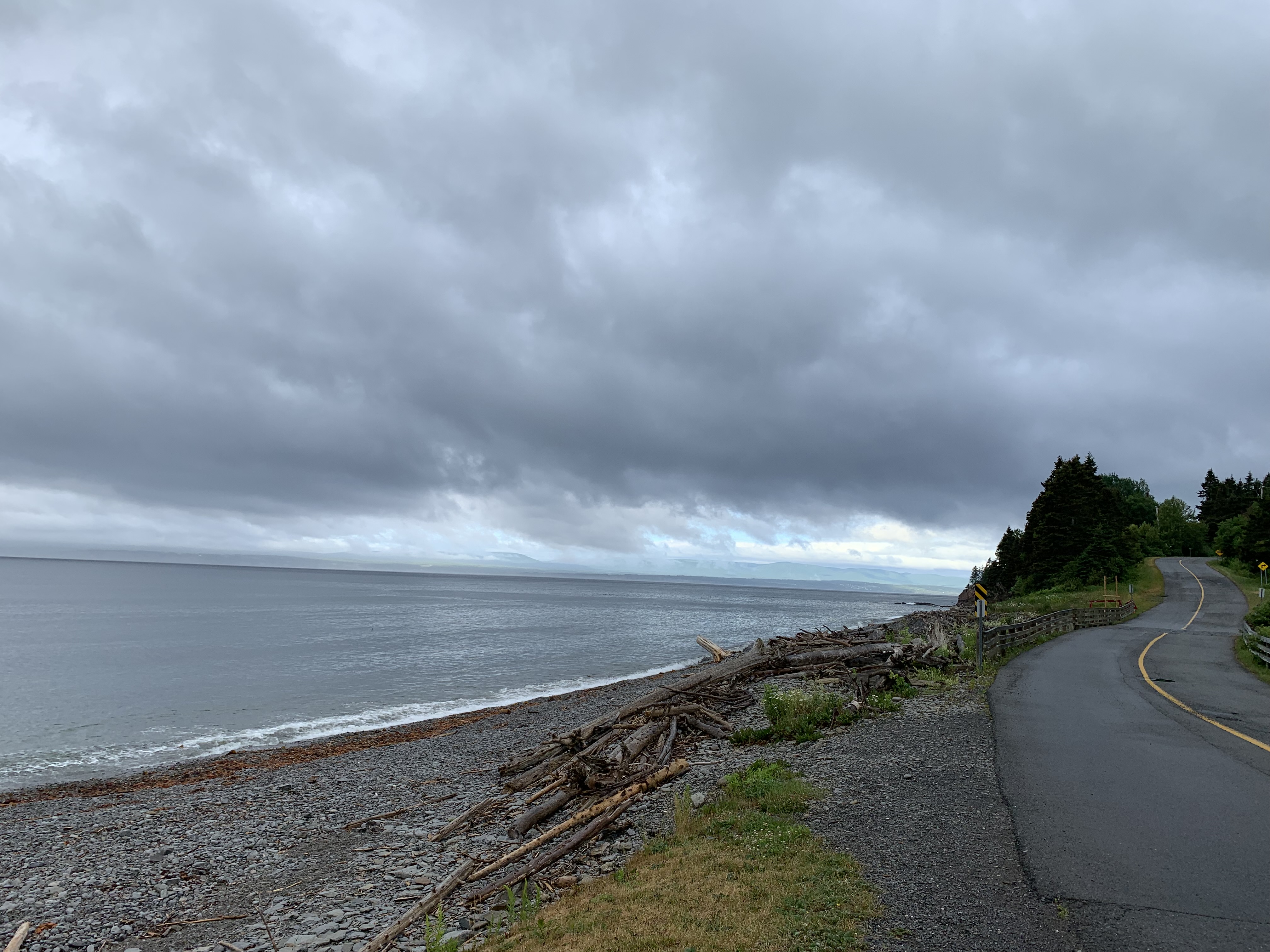
Ocean, gulf, river, lake: water in all its diverse forms.
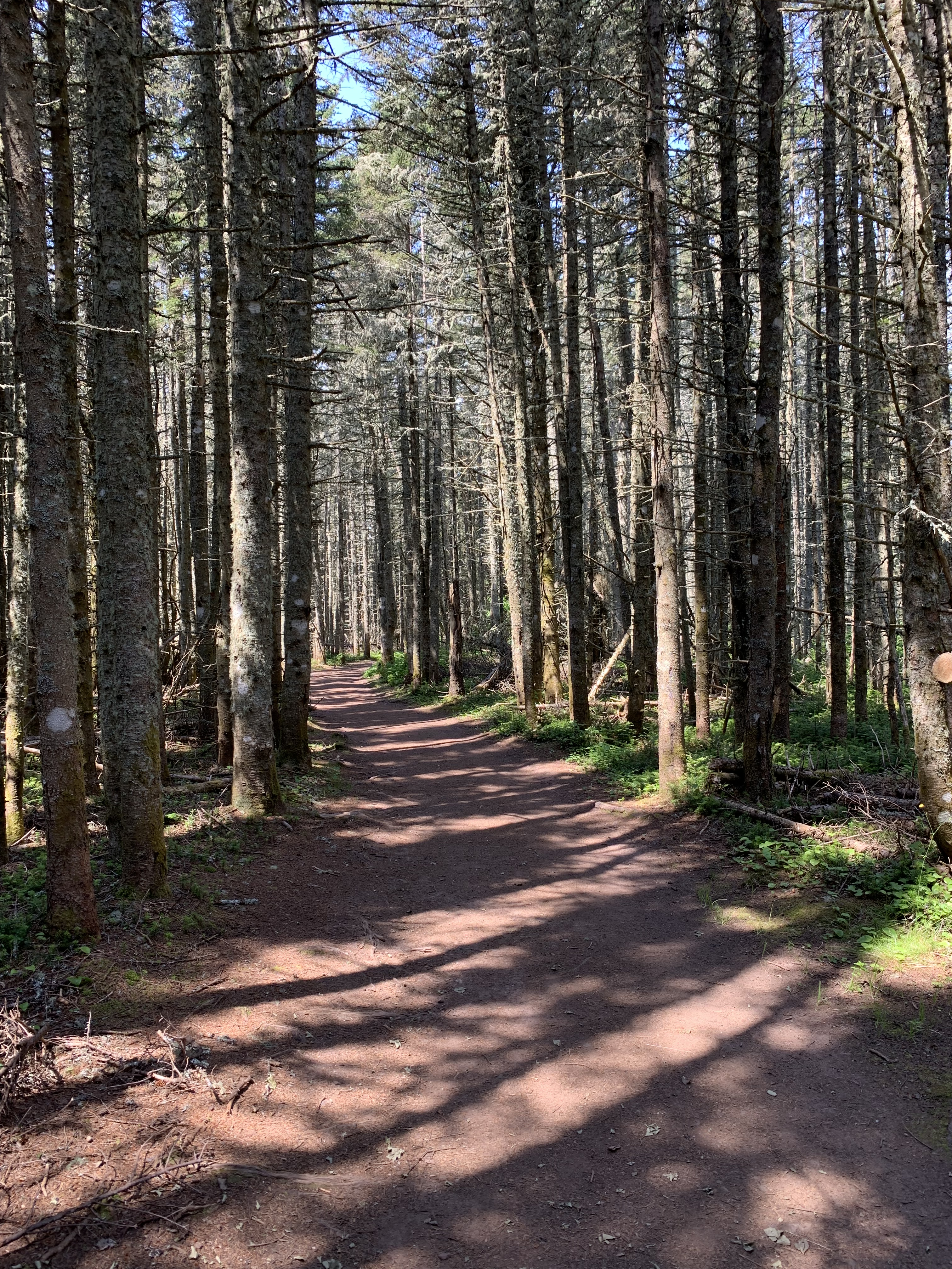
Did I mention trees? The stunning variety of them, their sweet shade, the heady, pine-y scent; spontaneous gratitude would often erupt in my soul for God’s gracious gift of trees.
Every day, I tried to walk a little further on the local trails until, at last, I felt ready to tackle an actual mountain.
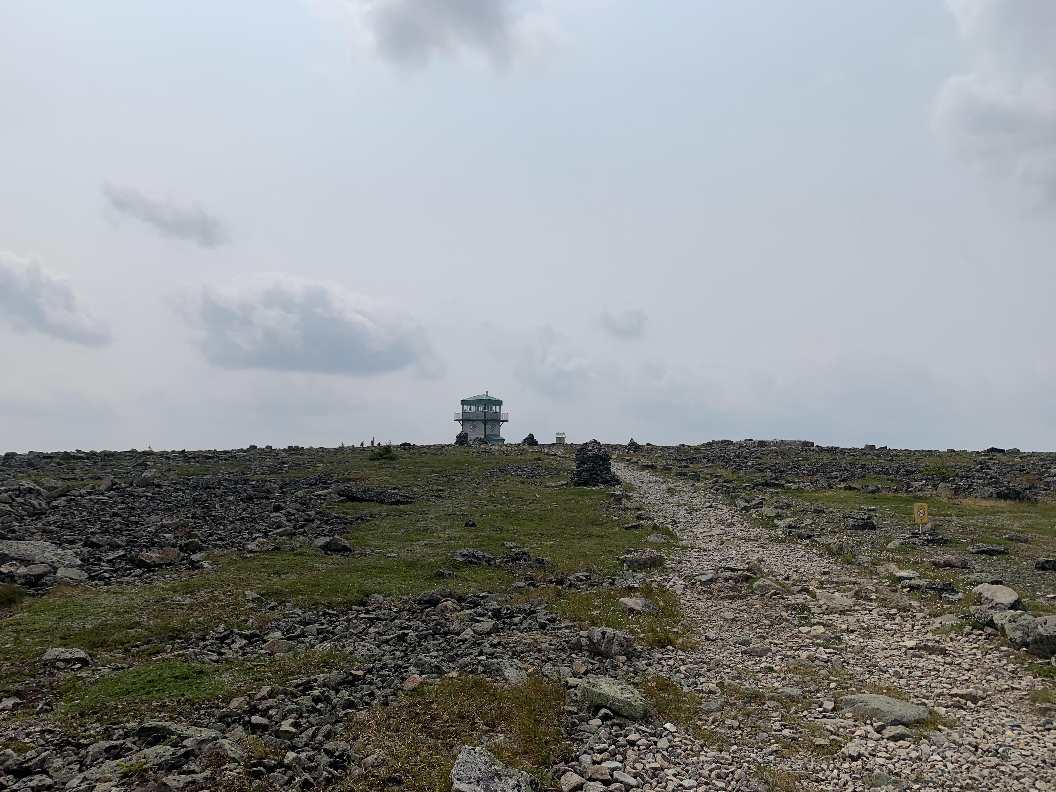
Standing proudly on the tip of Gaspe in Forillon National Parc, Mont Saint-Alban, at 285 meters, was a little over a five mile loop, much of it on the International Appalachian Trail.
Seemed like as good a place as any to kick the tires.
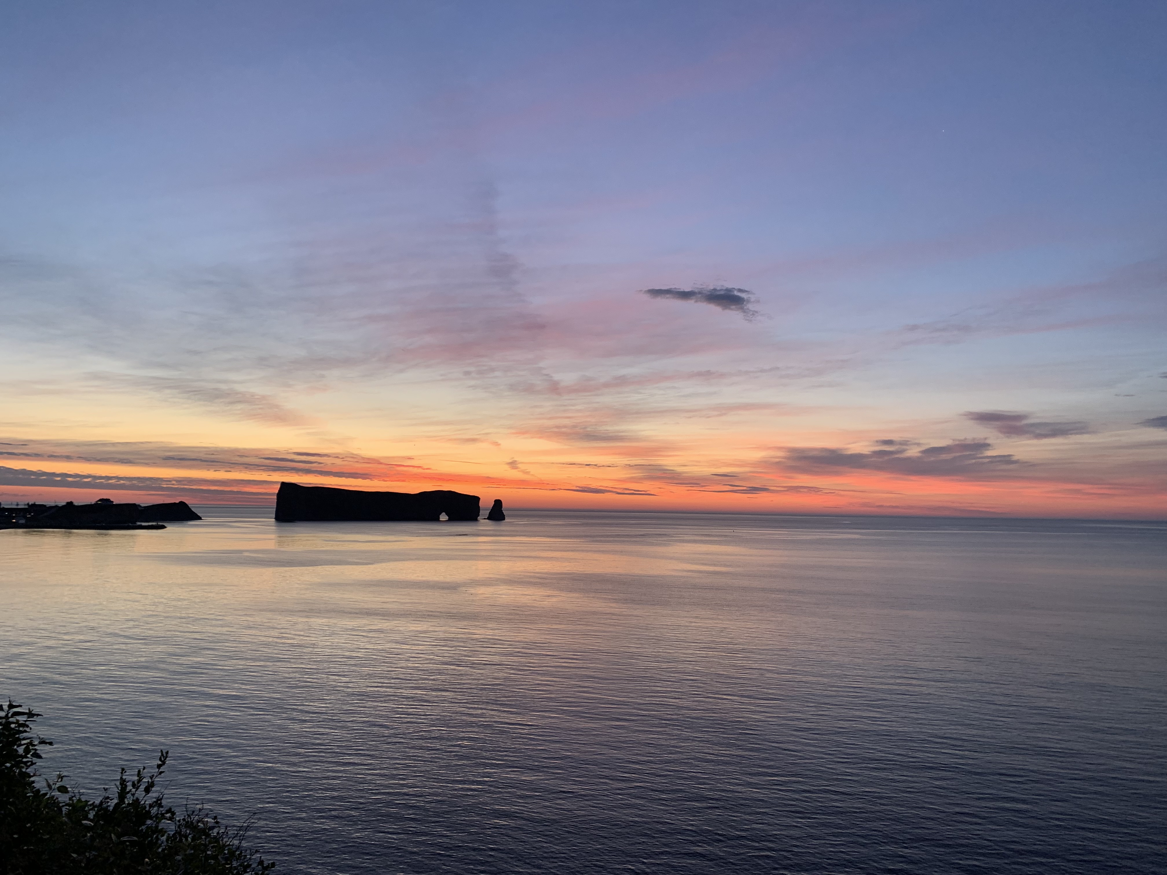
Rain pelted my windshield as I parked at the trailhead, waiting for a break. Yes, I wanted to see the views promised in the trail description, but I also longed to see if my damaged soft tissue was healed enough to propel me up the mountain.
Muscle memory took over as I exited the car and practically danced – cautiously – toward the summit and the observation tower at the top.
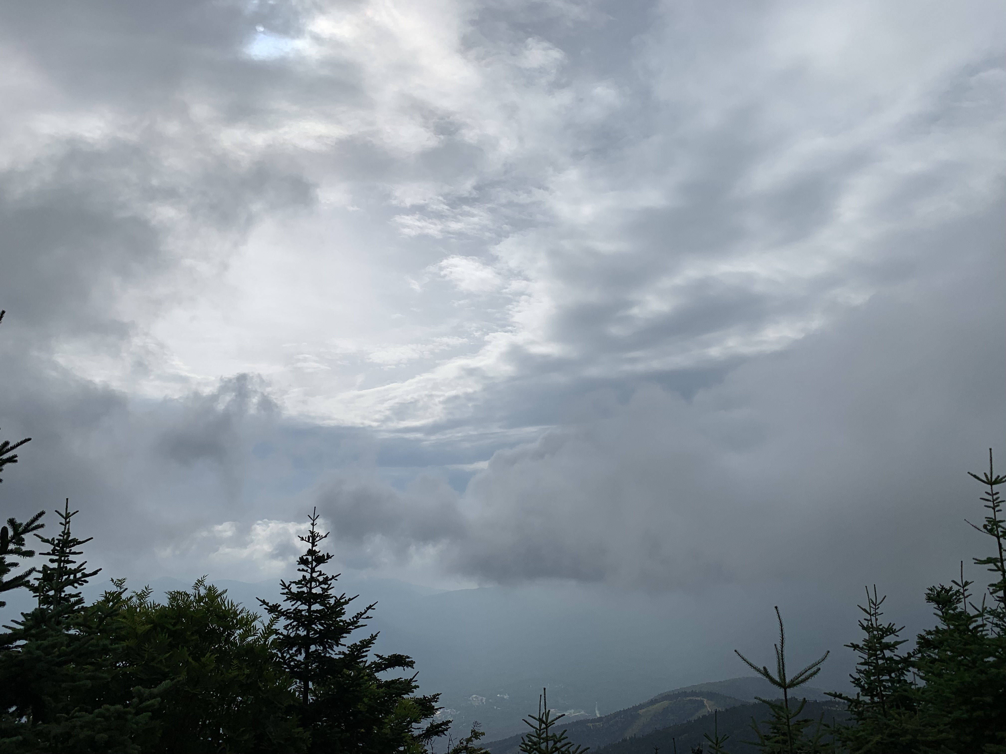
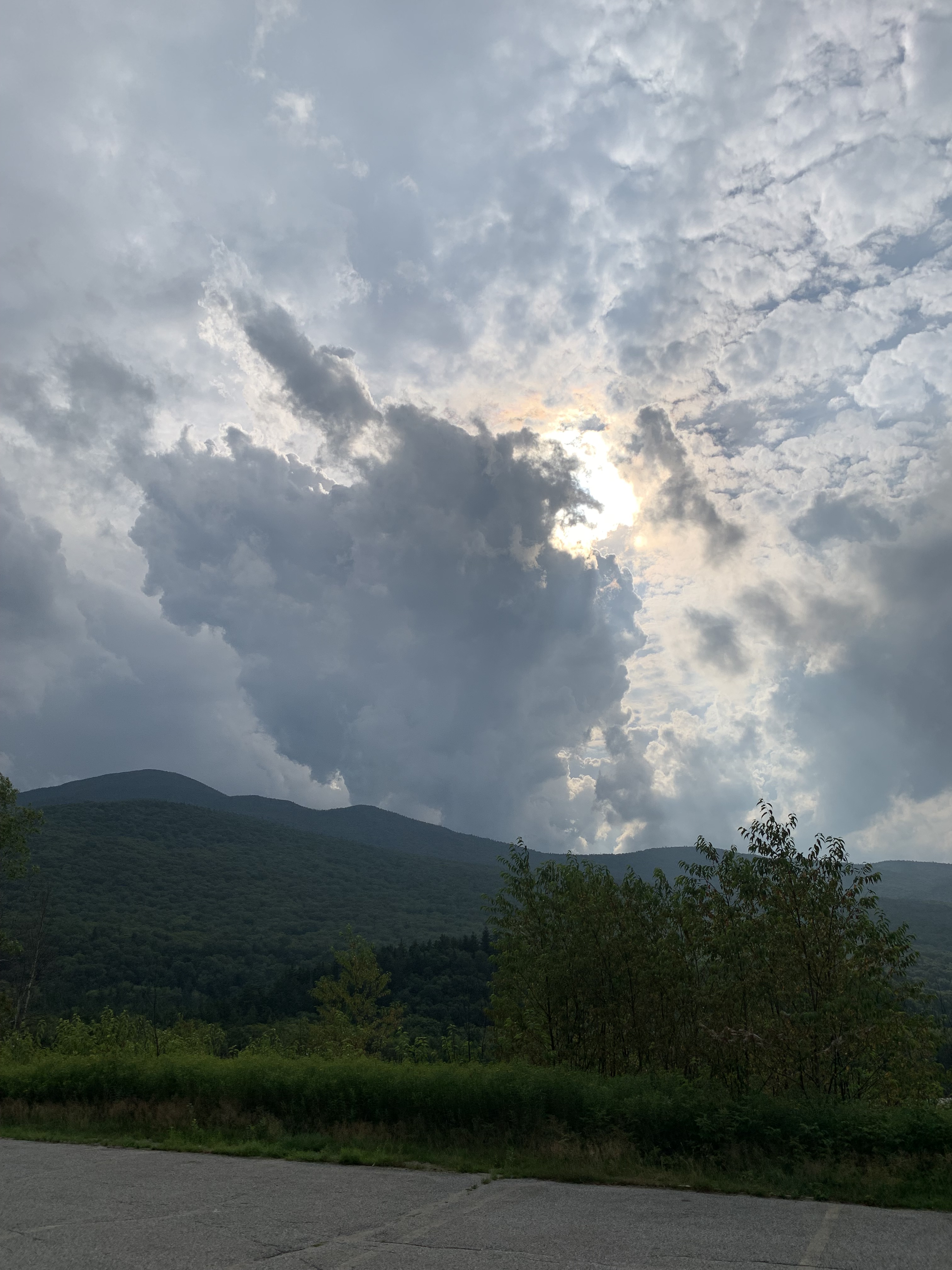
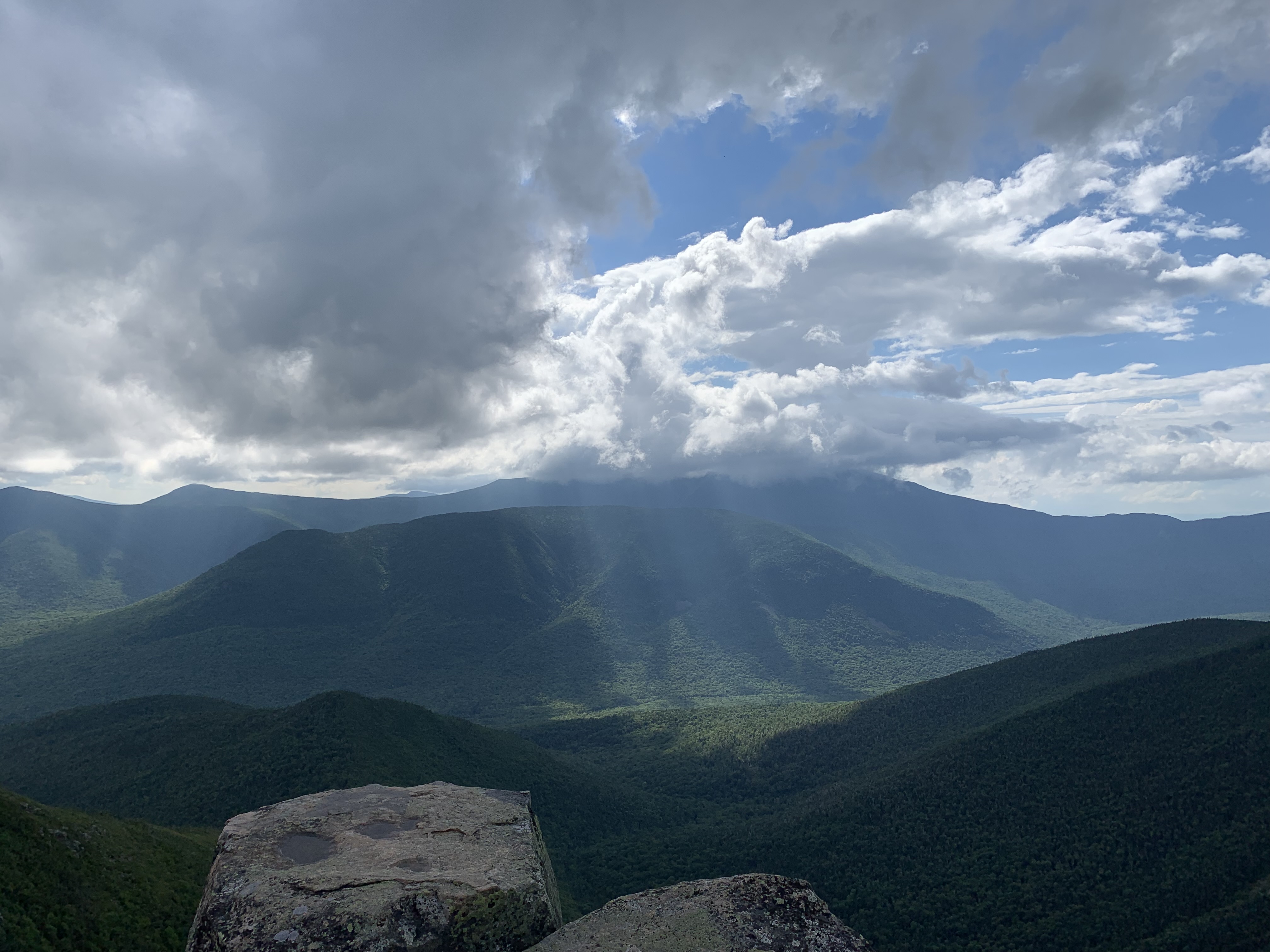
Perhaps, upon discovering that my legs did, in fact, still work, a view would be nice after all. I willed the misty clouds to part at every outlook.
When I reached the top tier of the tower, they did, in part, recede, affording me some of the most elegant displays of the entire trip.
And that’s when it hit me.
Without the clouds to frame the landscape, the tip of the Gaspe, the cliffs and trees and sea, would have appeared flat, dull. It was the clouds themselves that revealed the beauty.
For the rest of the trip and thereafter, I started paying attention. Cataloguing.
Confident in my restored limbs, I tackled Mont Jacques-Cartier.
Found other paths.
Everywhere I looked.
Veil in sky or vapor over field.
The clouds were the show.
Integral, insistent.
We so often denigrate the clouds in our lives. The times when the sun is shrouded and our lives are marred by frustration, confusion, and pain.
But what if -?
What if those times are necessary, to help us truly see and appreciate and know?
Perhaps we don’t value a thing until it is lost, for a season or forever.
I want to look with new eyes.
To not despise those cloaked things.
It is said my King will one day return. It is said He will come with clouds.
Should I be found here, waiting, when this occurs, let it be with a heart full of gratitude for the times with and the times without.
The other day, a manilla envelope appeared in my campus mailbox.
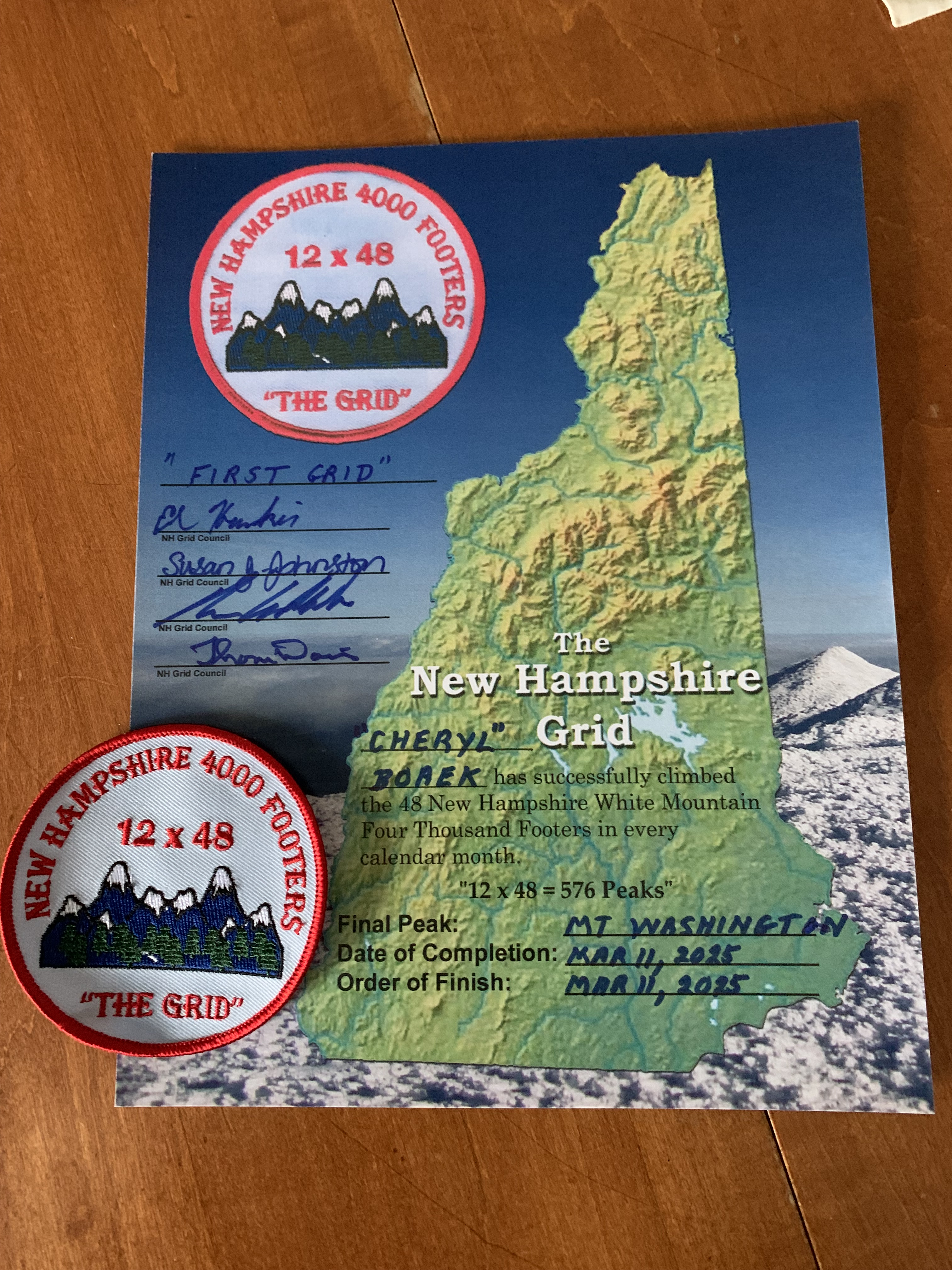
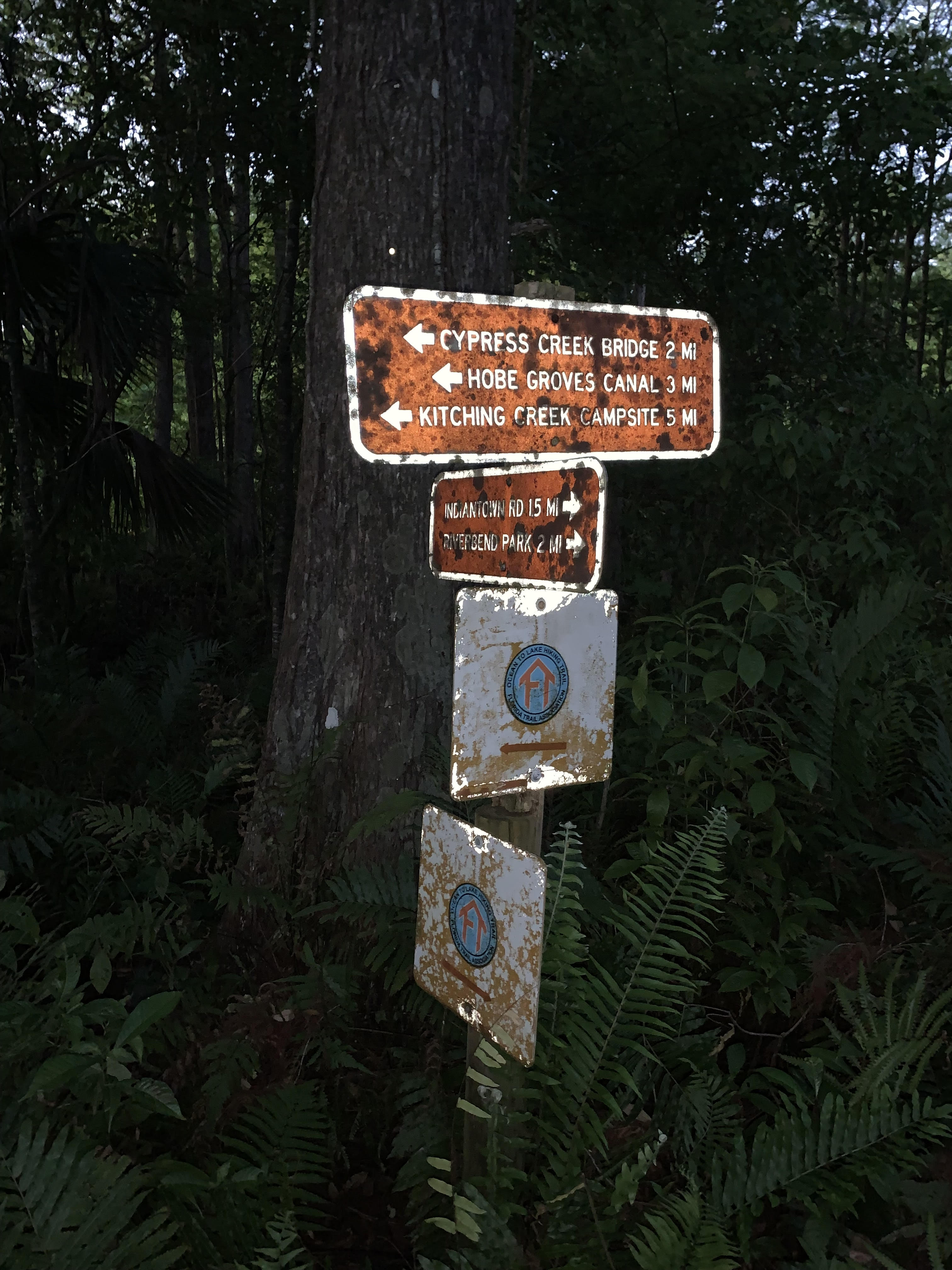
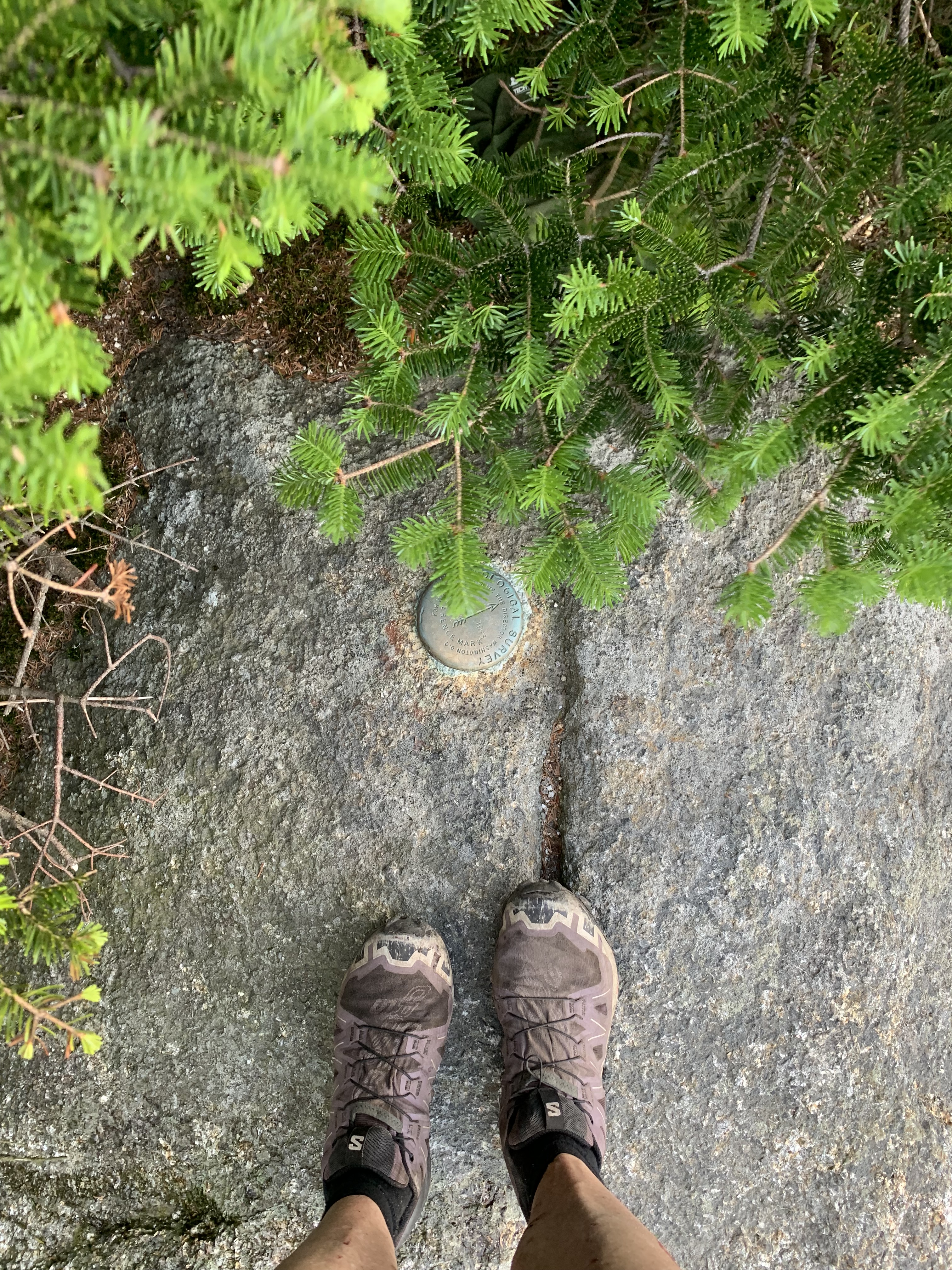
There was nothing particularly disguishing about it. Were you to try to fathom its contents, the only hint of its import was the sender, a name synonymous with hiking in this part of the world: Ed. Keeper of all things Grid.
My scroll had arrived!
It almost felt like, longlong ago, when you were waiting for word from your number one college choice, hoping the letter would come, hoping it would be today, hoping it would be fat.
Though just a piece of paper, this scroll (and related bling) represented to me the years I have been privileged to walk day and night, through sunlight and starlight and every changing season, over the four corners of the wild. (Psalm 74, loosely quoted)
It feels good to be a member of this club, whose current members number less than 200. But although I am happy about this milestone, the real essence of the Grid was the deep repair it worked in my heart over the footfalls, over the peaks, over the years and years of dancing in the sky.
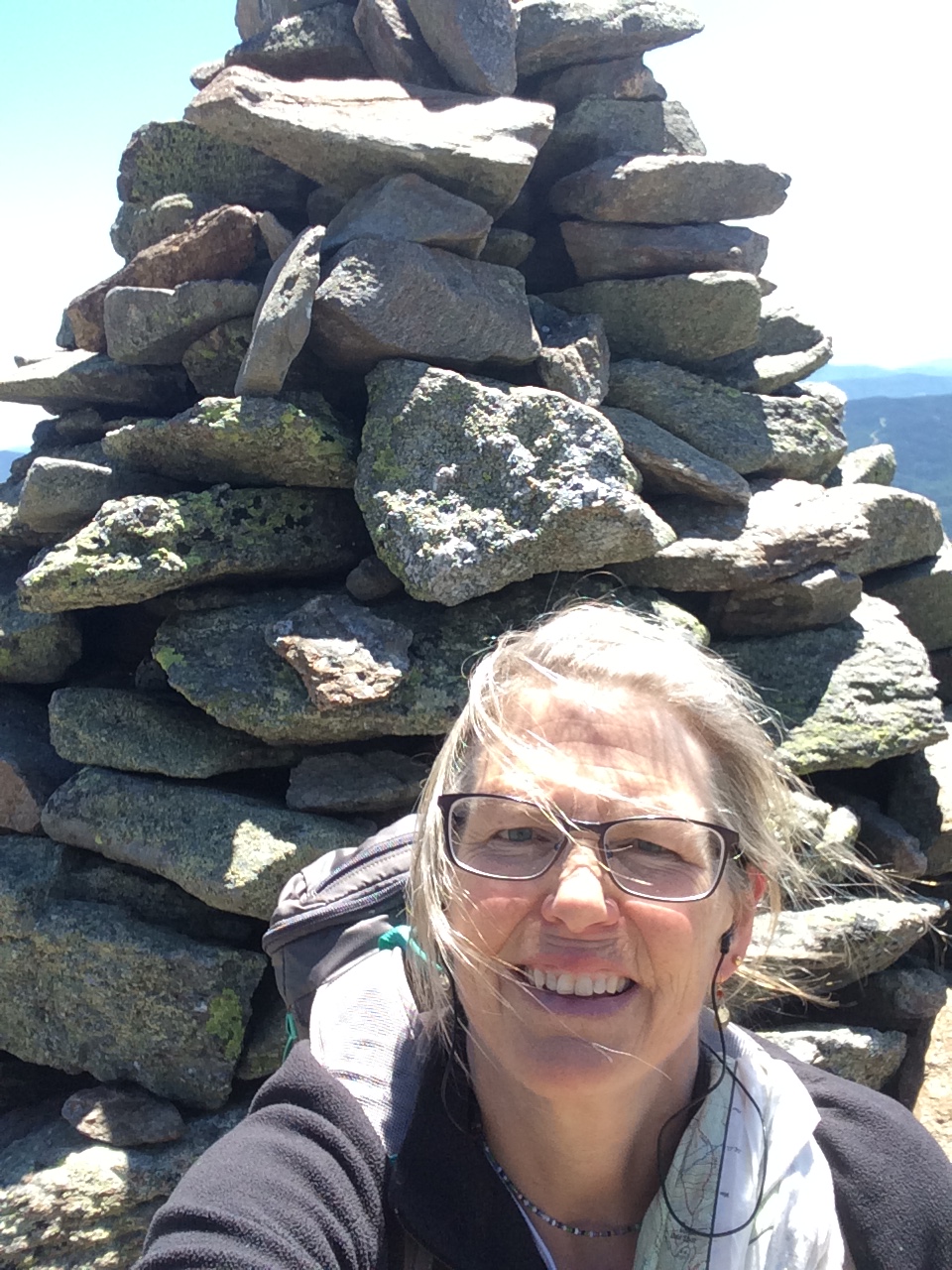
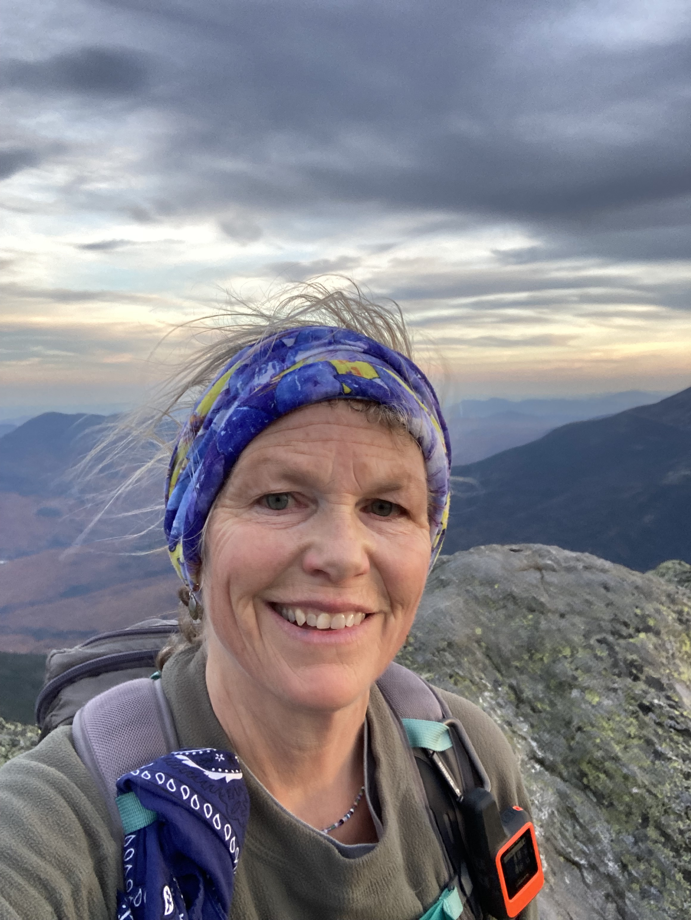
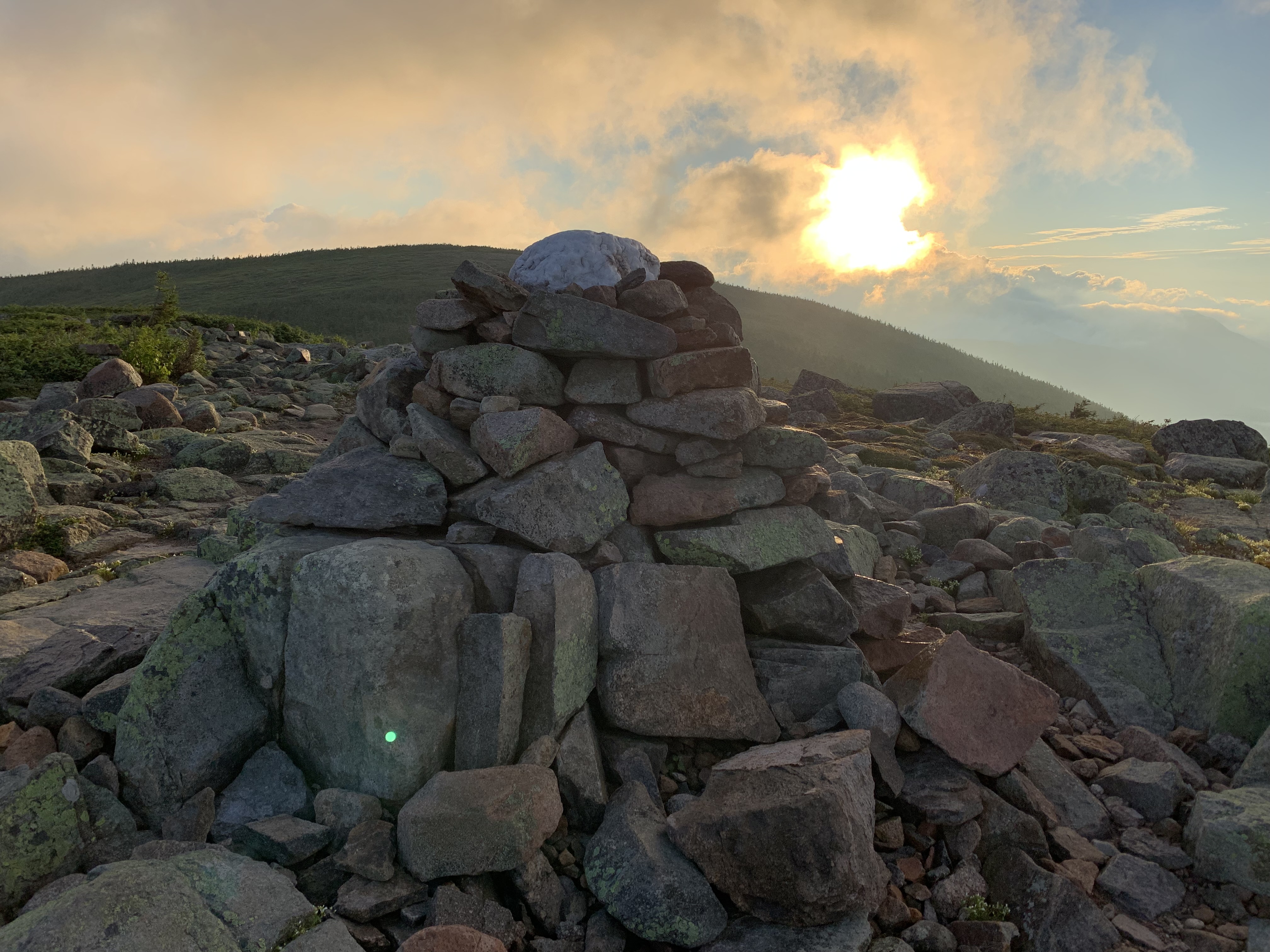
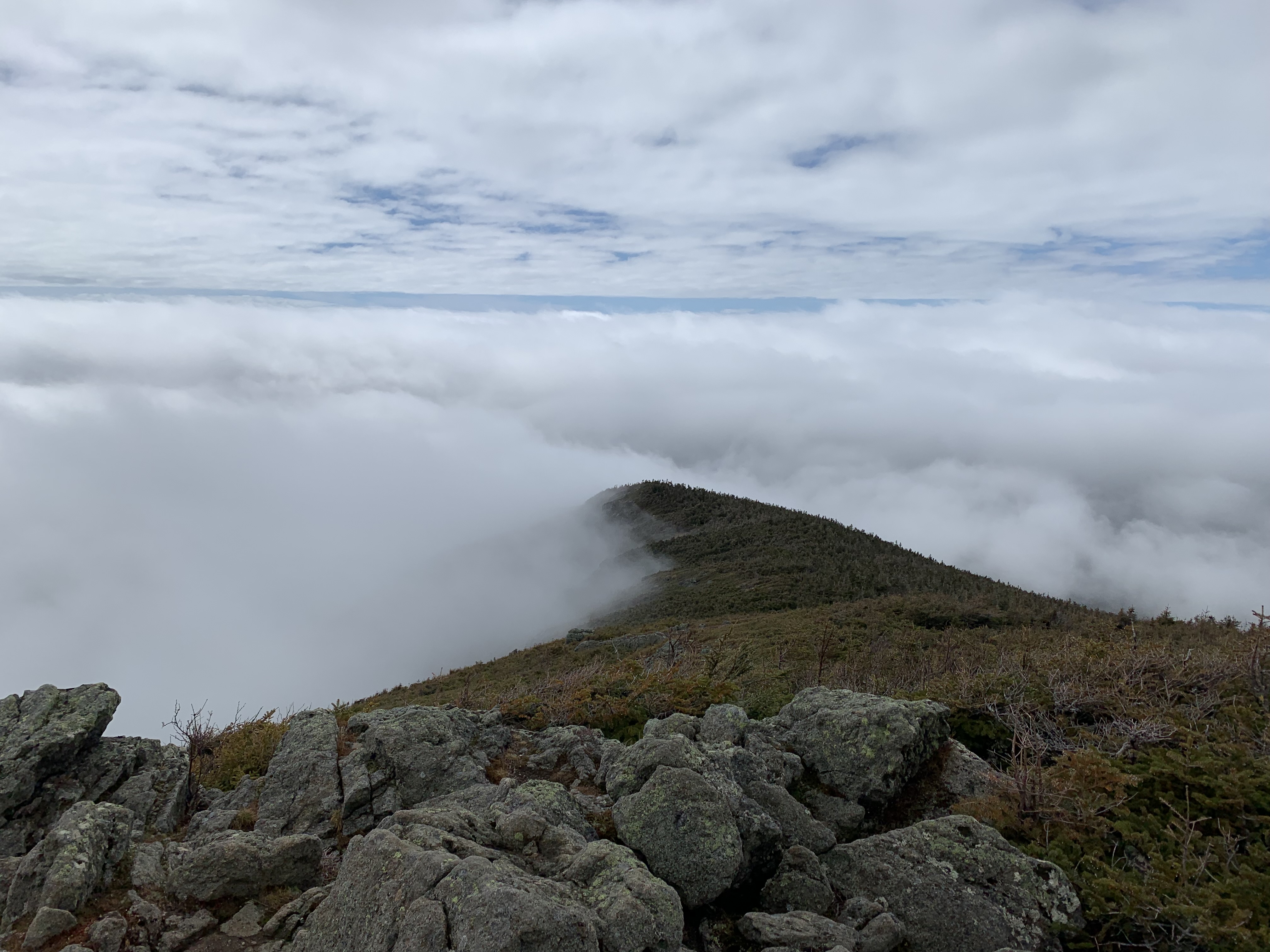
Bondcliff, October 2019
Untethered and soul-starved, I needed something to laser my focus.
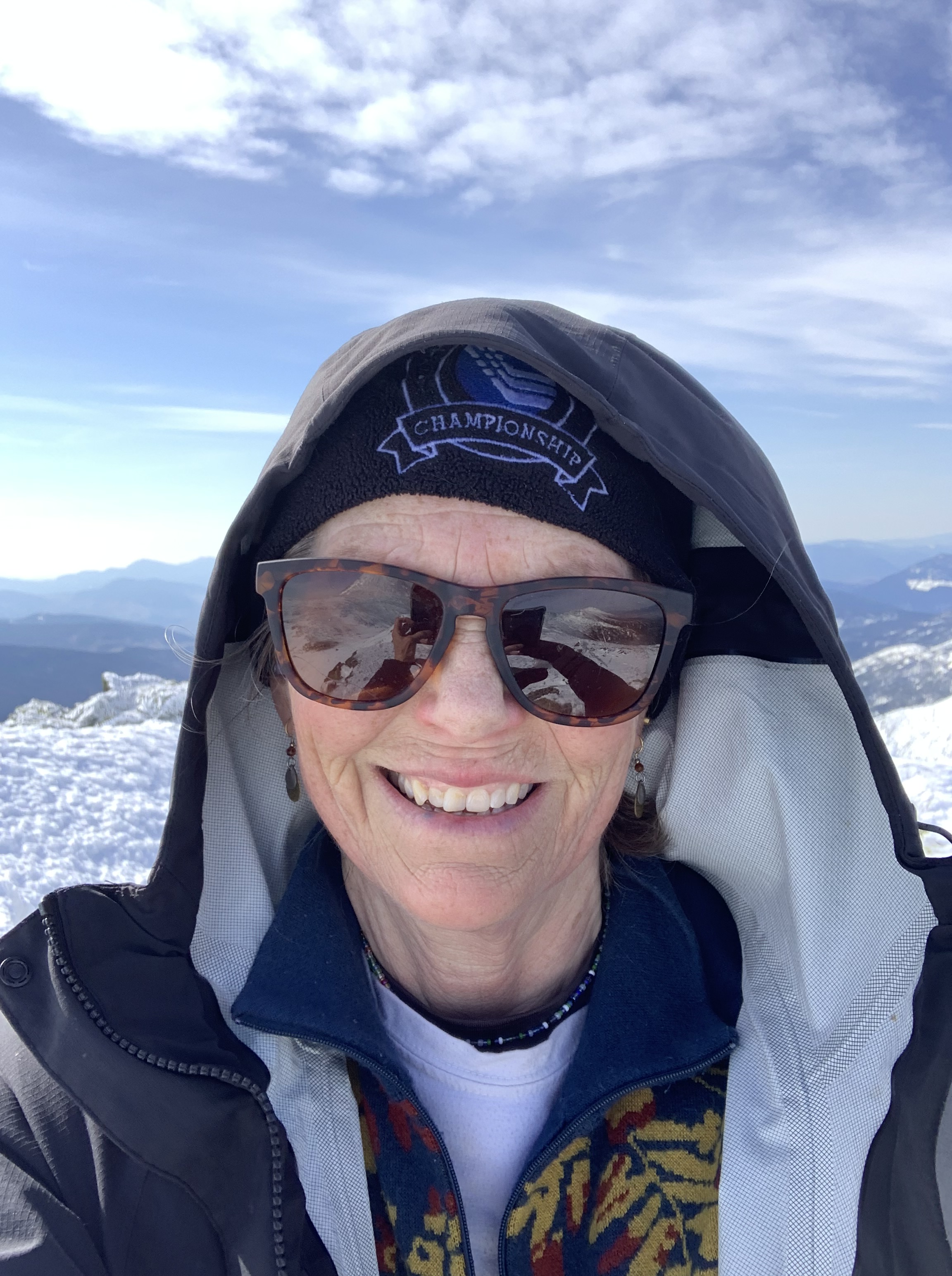
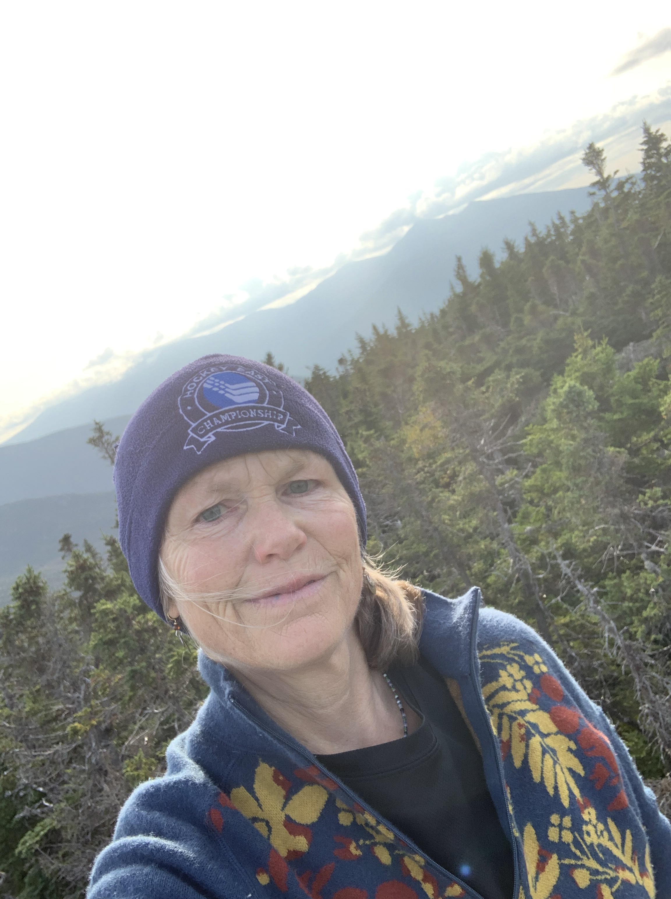
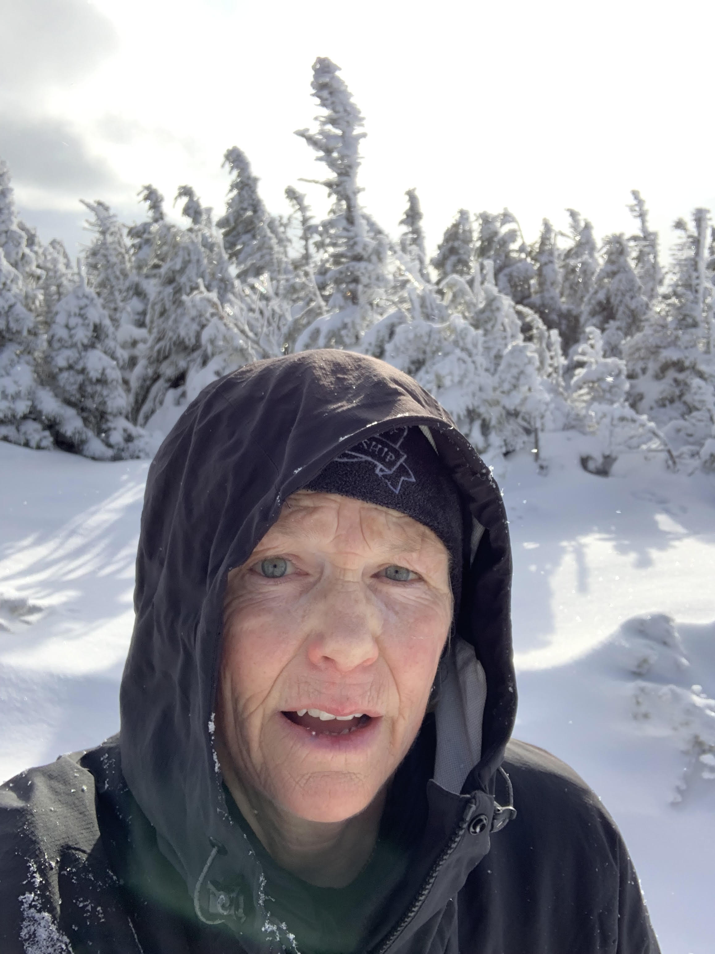
Last ascent of Madison, March 2025
Up high, I didn’t mind feeling small; in all that expanse, I never felt alone.
There was simply too much beauty, too much wildness, too much of the forensic hand of the Creator softly shaving the edges of my loneliness until all I wanted was to be up there, with Him.
Franconia Ridge December 2023, negative double digit windchill
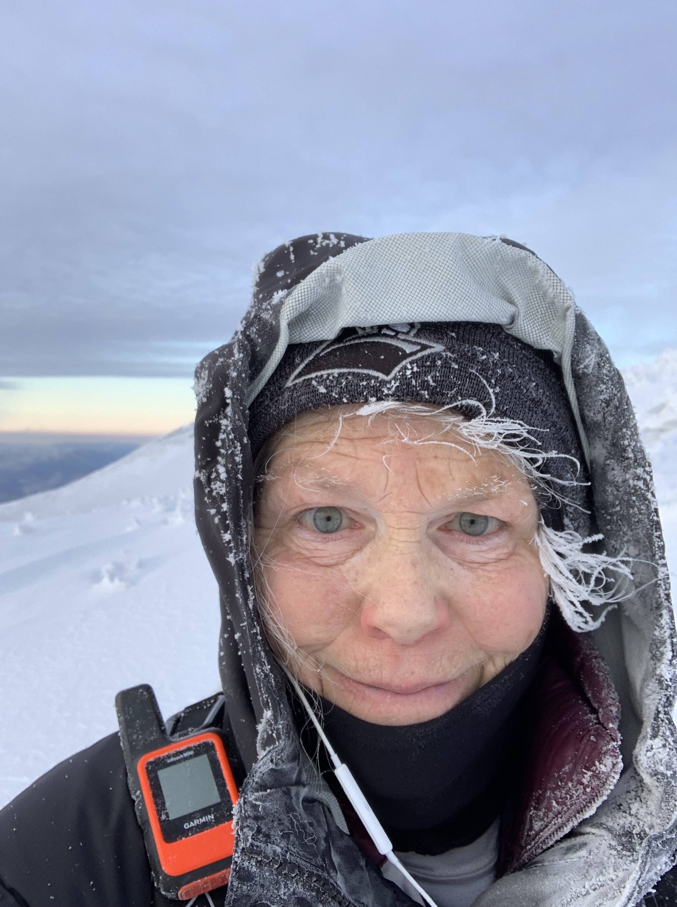
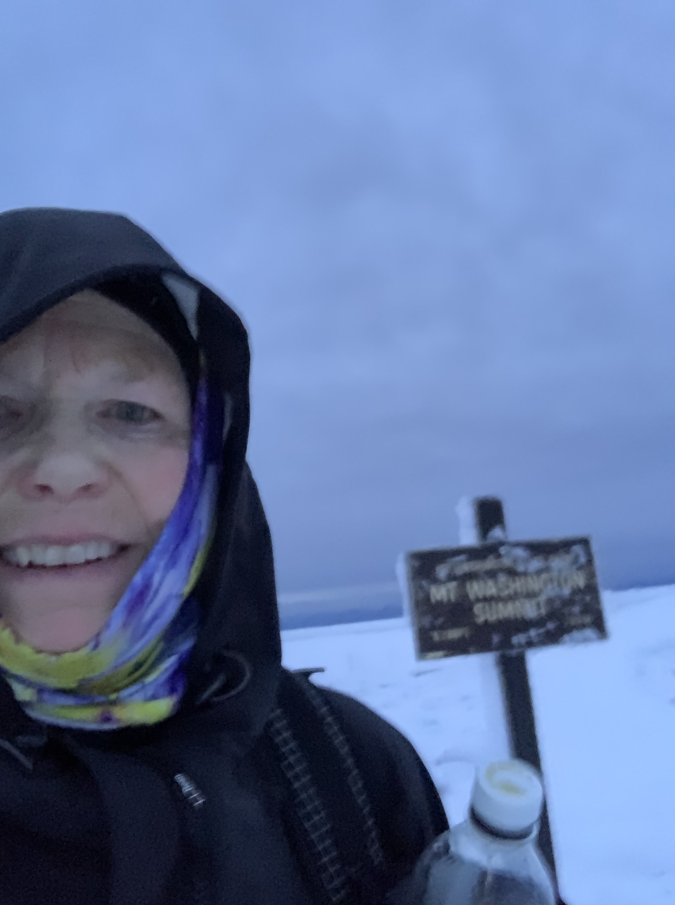
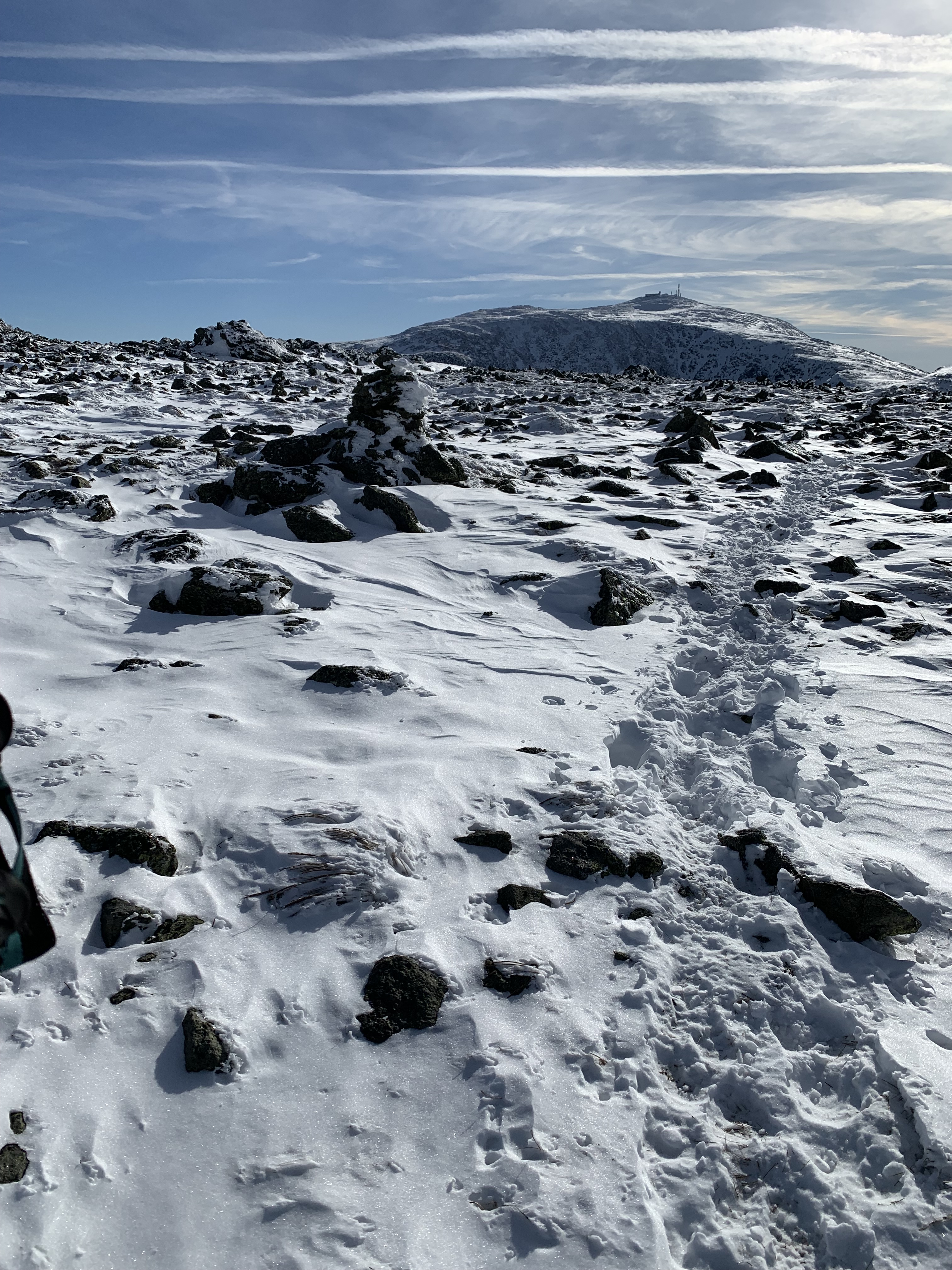
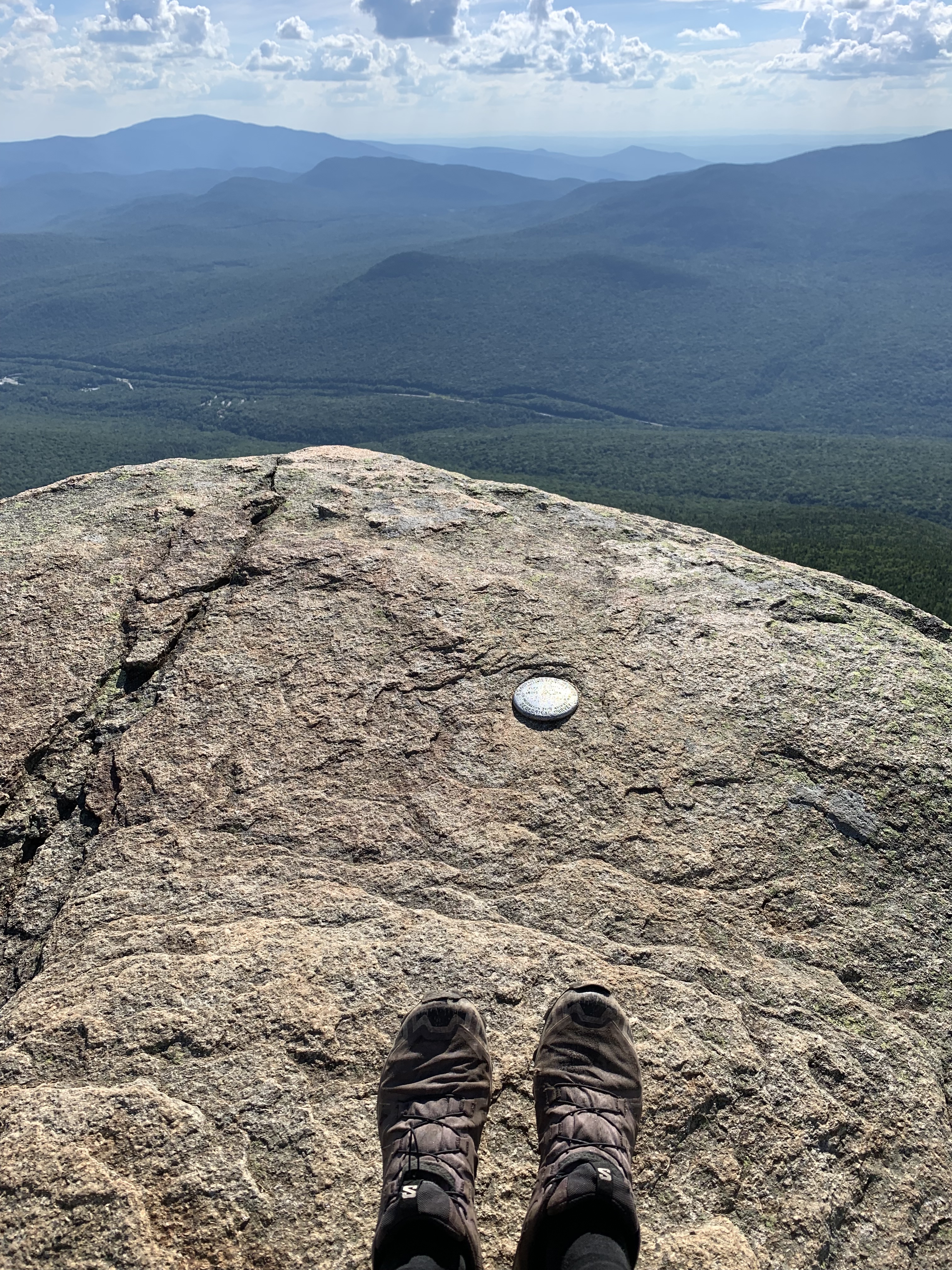
I started counting peaks back on June 21, 2018, on Mt. Washington, a stroll up Lion’s Head and back down through the Alpine Garden.
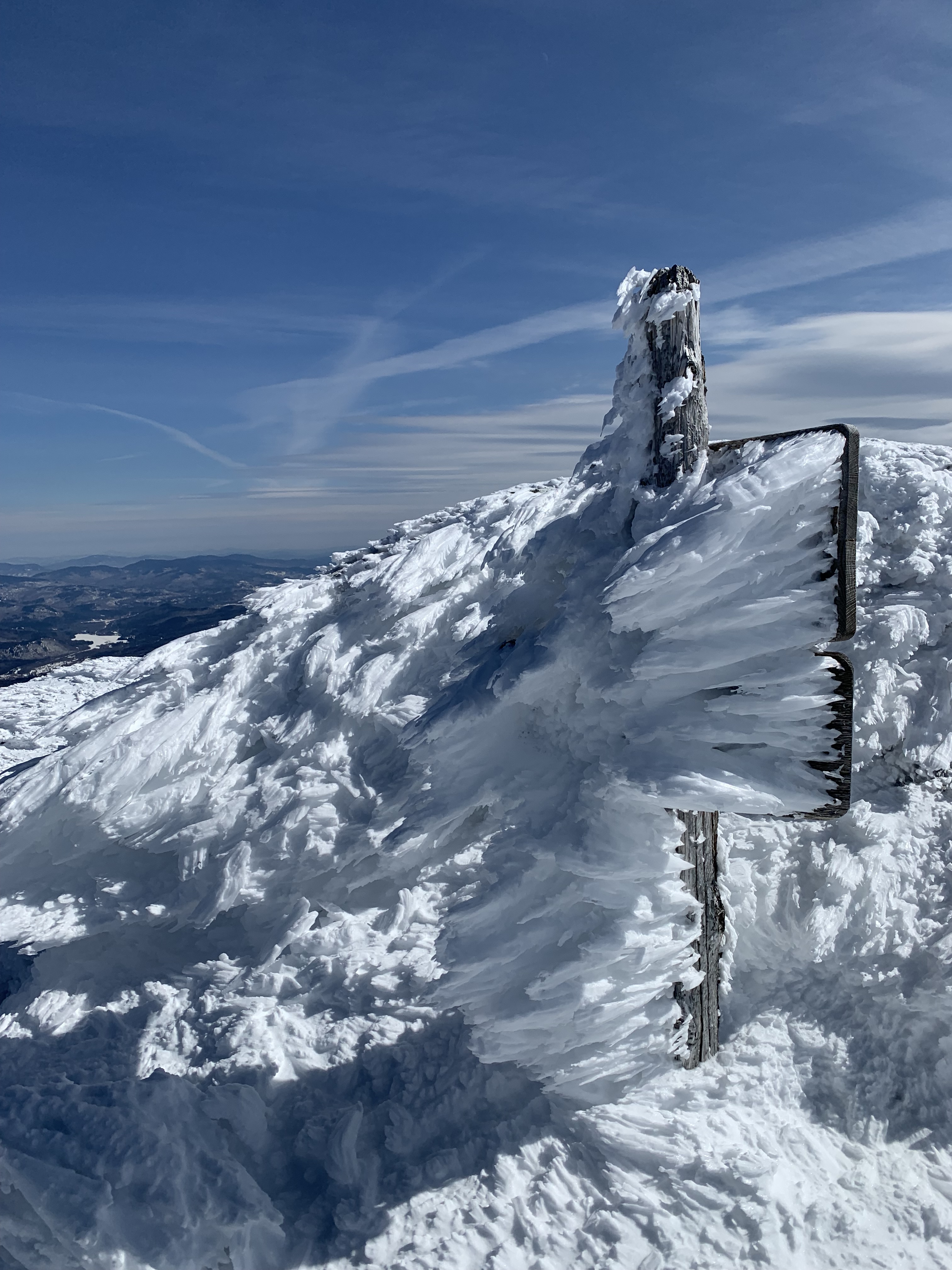
I finished on Washington, as well, on March 11, 2025, though this wasn’t planned. The weather in 2025 held me anxious and stressed, wanting so badly to finish but also wary of what could happen should I decide poorly. Washington waited for last.
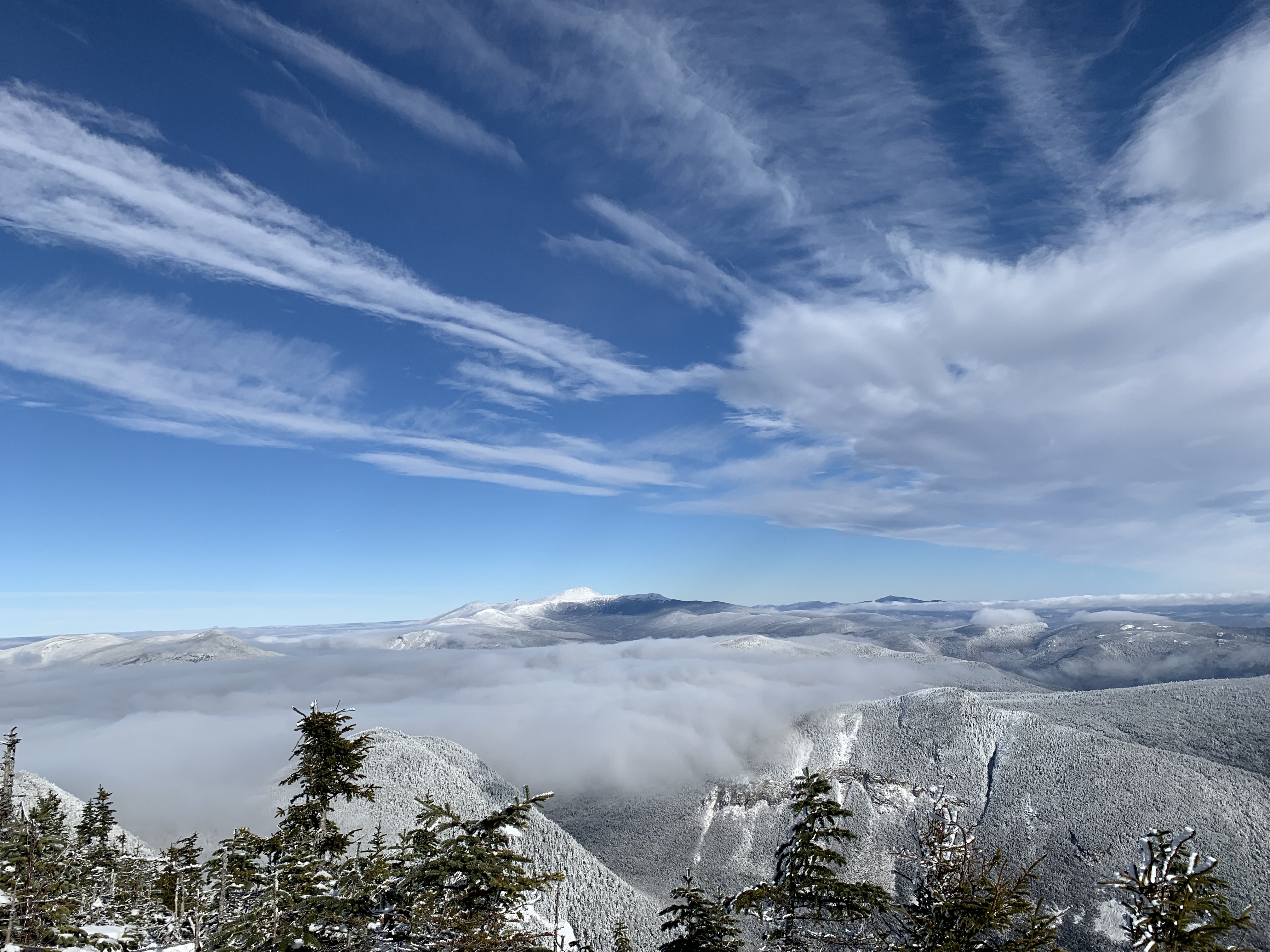
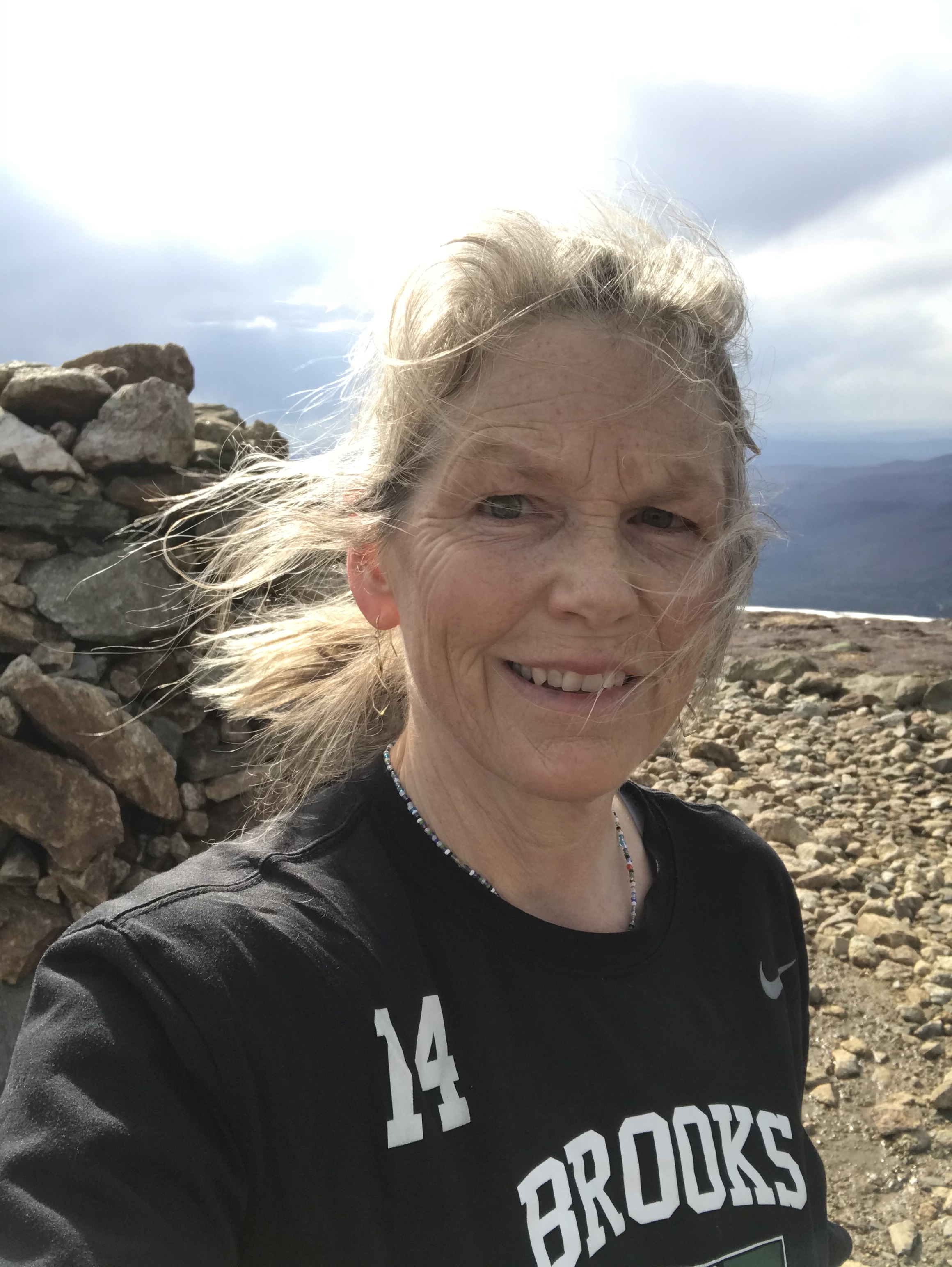
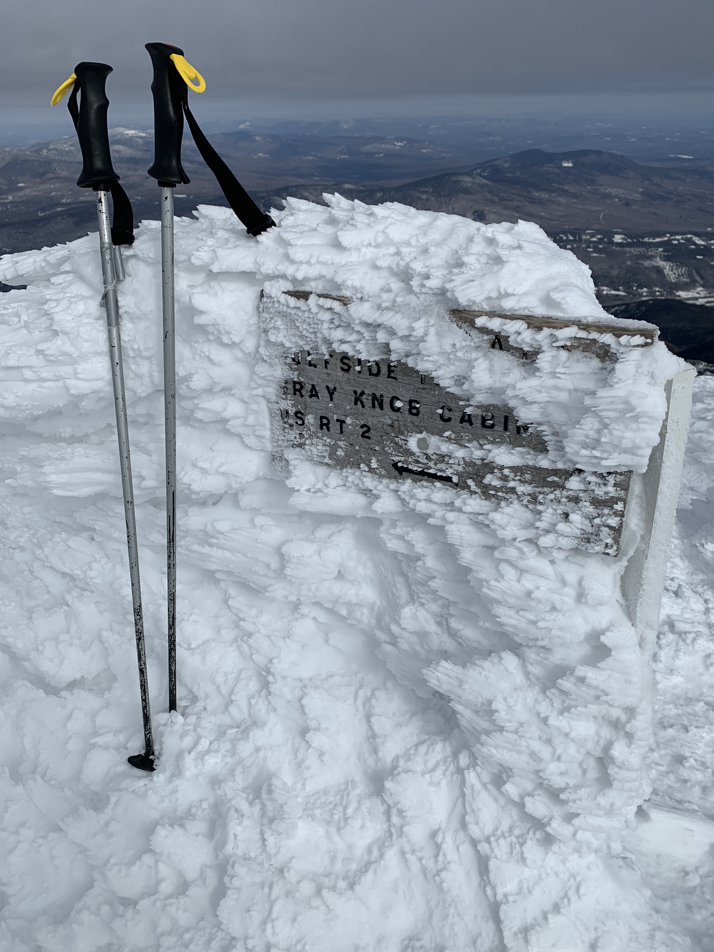
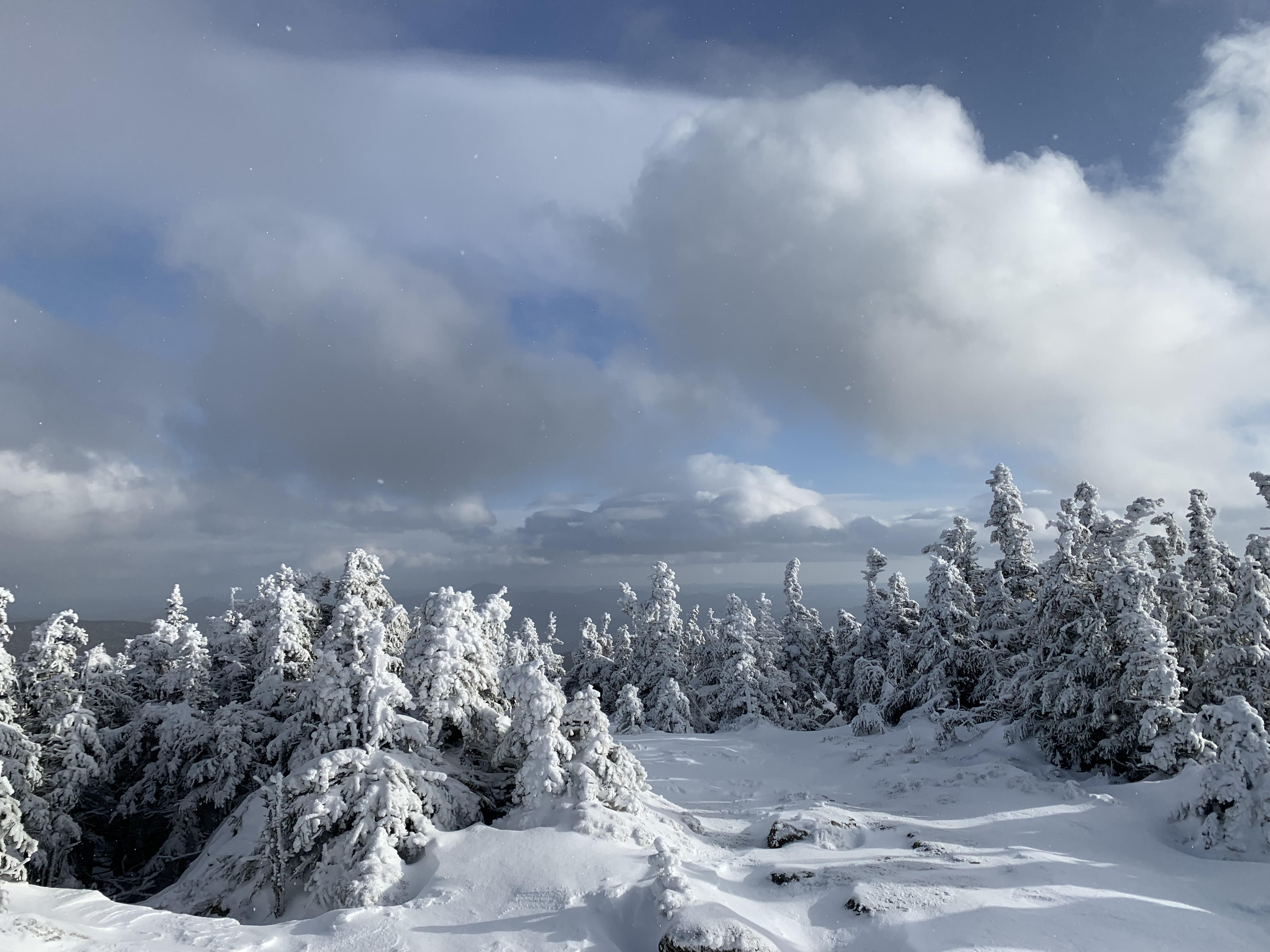
Depth of snow on Jewell Trail, last ascents of Monroe and Washington
Weighty things take time. Like loss, like grief, or even faith, you don’t need to tackle it all at once. In fact, you can’t.
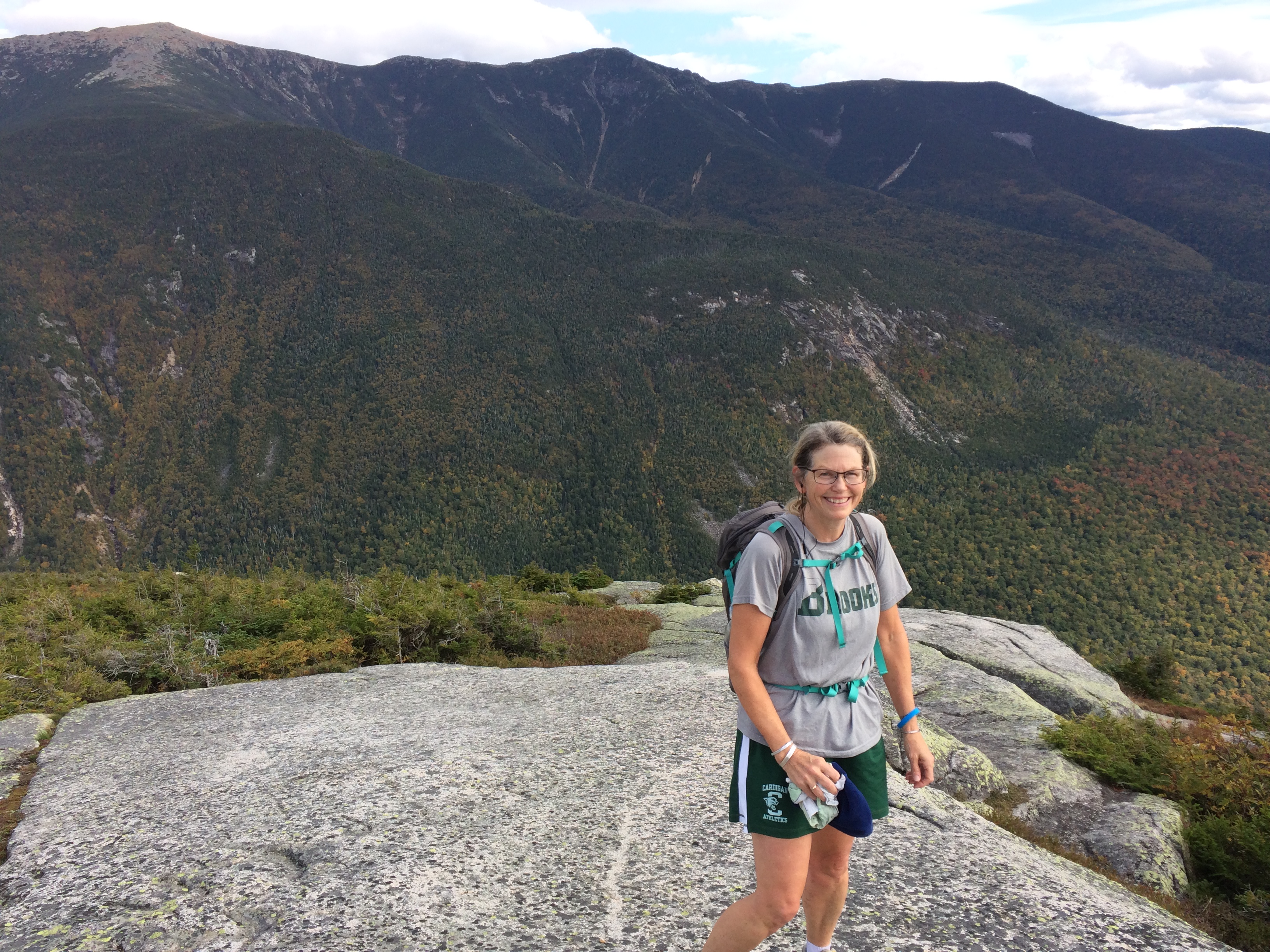
Cannon Mountain, September 2018
I remember driving up the access road in 2020 to the trailhead for Mt. Carrigain. It was only my second time, and I remember wondering how I was ever going to do this hike in the winter, when the access road was closed, adding almost 6 miles to an already long day. I wasn’t sure I could.
Carrigain, New Years Day 2024
But as I ventured further and further into the woods, as my experience grew and my fear abated, I found that though we might want suddenly, it is gradually that is often wiser, more humane.
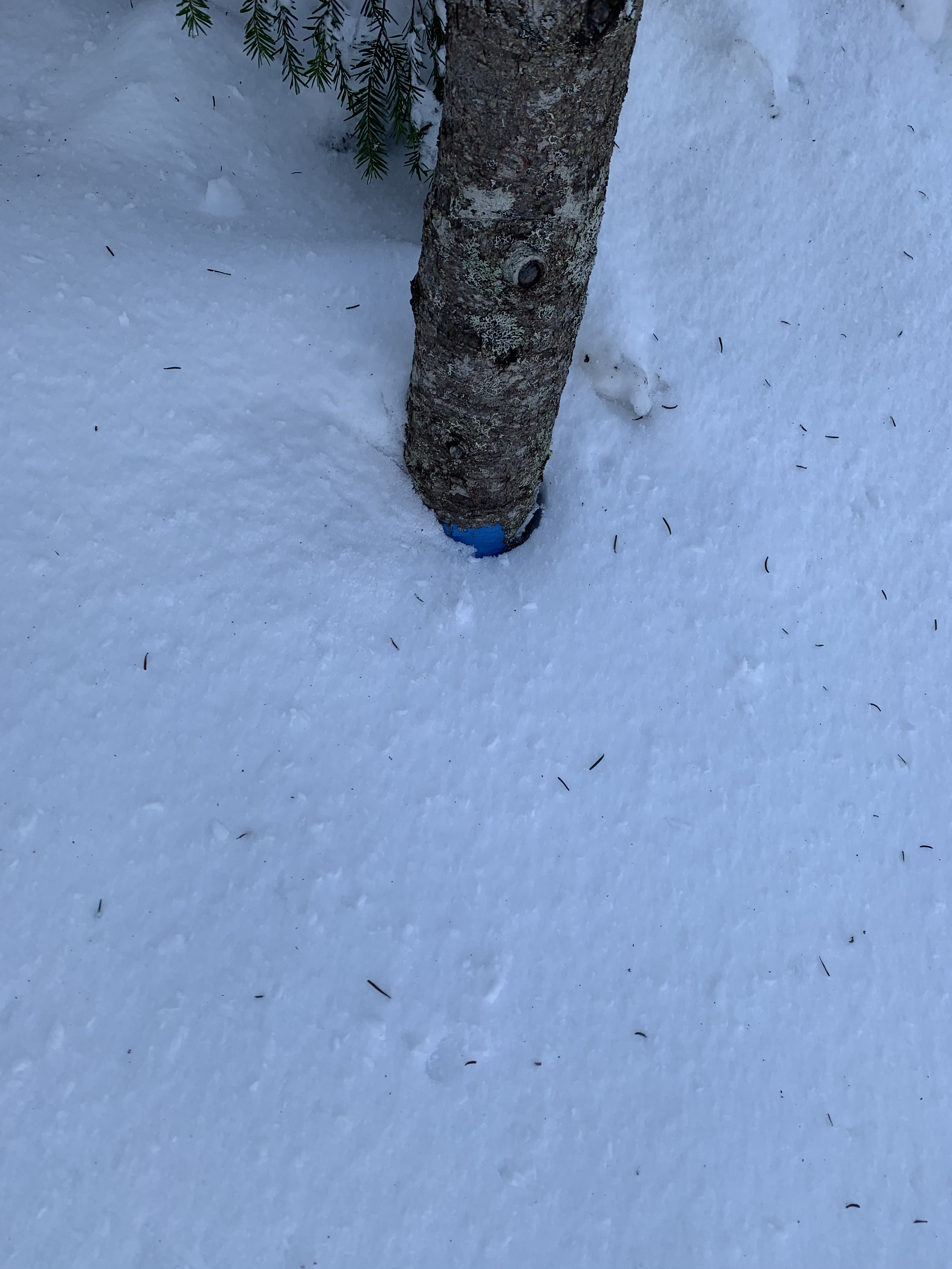
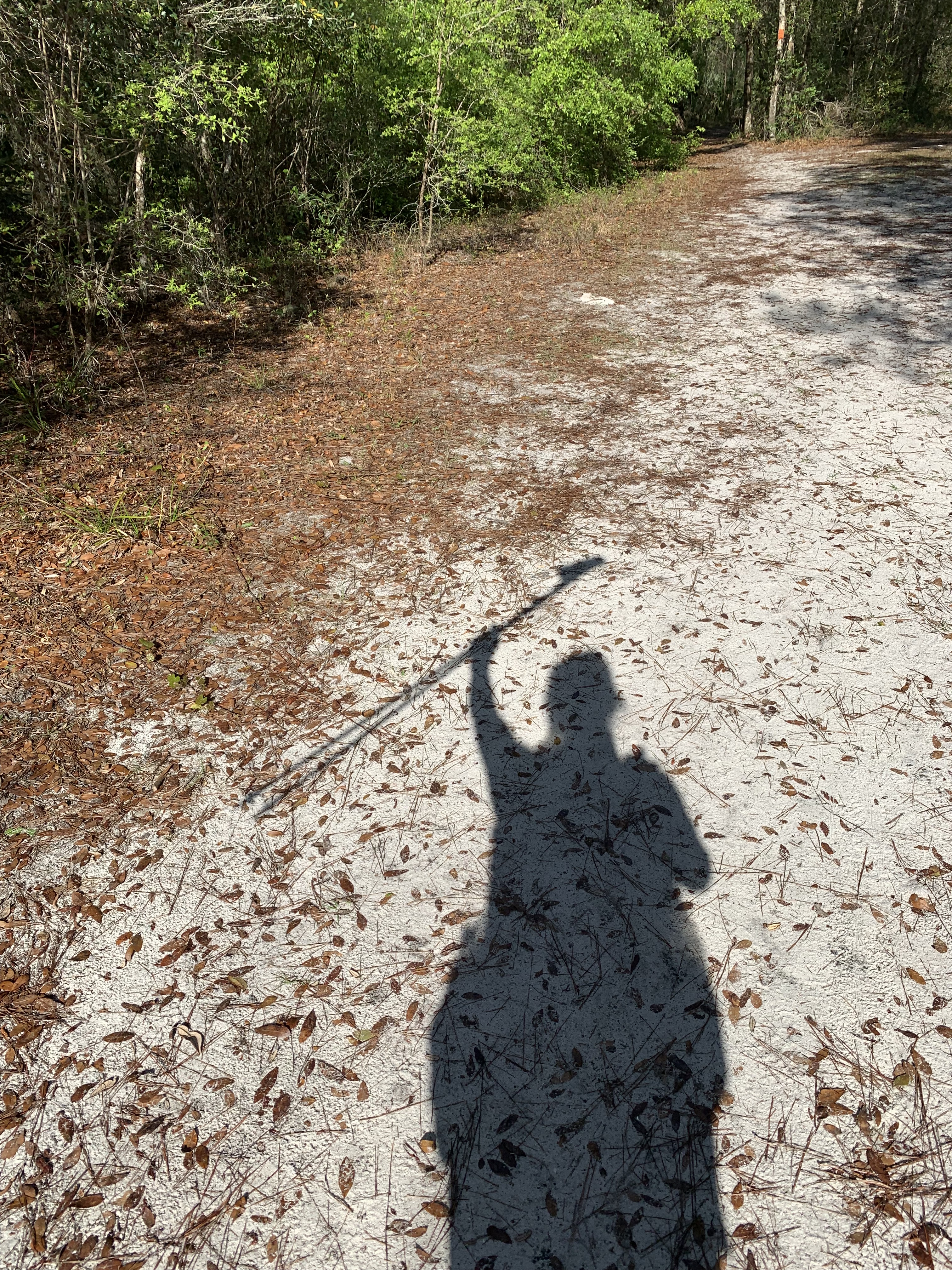
Trekking pole showing depth of the snow on last ascent of Owls Head, March 2025
His hand is slow, but it’s never late.
Approach to North Kinsman, April 2021
So many things happened in all those years, the physical ones easier to measure.
In the 7 years and 9 months it took me to Grid, I went through: 8 pairs trail runners, 4 pairs hiking boots, 4 sets trekking/ski poles, 2 pairs rain pants, 3 rain jackets, 2 day packs, 2 winter packs, 2 pairs snowshoes, 1 phone, 1 car, and more water bottles than I could count. (It took me awhile to figure out how not to drop them. Sorry, LNT).
Wildcat Ridge Trail, September 2023
I had a favorite sweater that went through each washing like a champ and never smelled.
This one, above, from Title Nine, on Moriah, September 2023
A buff my daughter gave me, which always made me think of her when I put it on.
Madison, October 2022
It didn’t necessarily help with the hair, but up there, I really didn’t care.
Post an Adams/Jefferson out and back, September 2020
Eisenhower, April 2021
Last trip out to Jefferson, March 2025
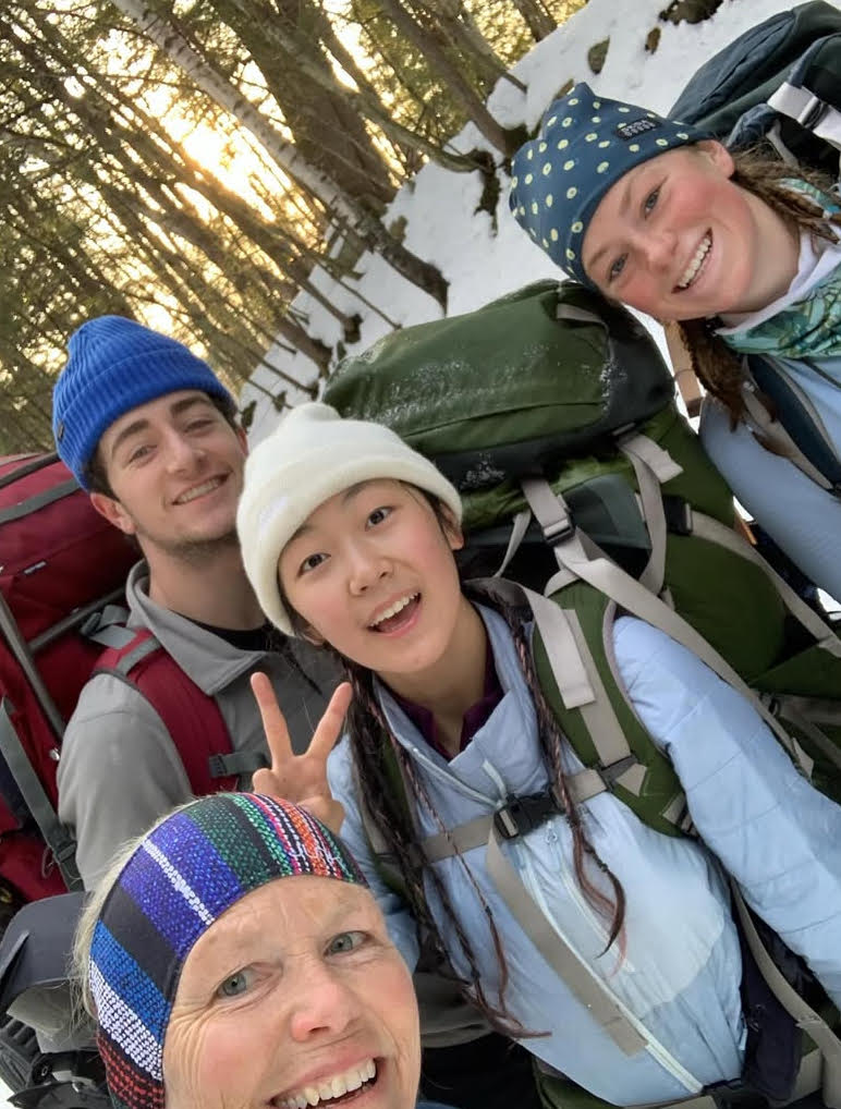
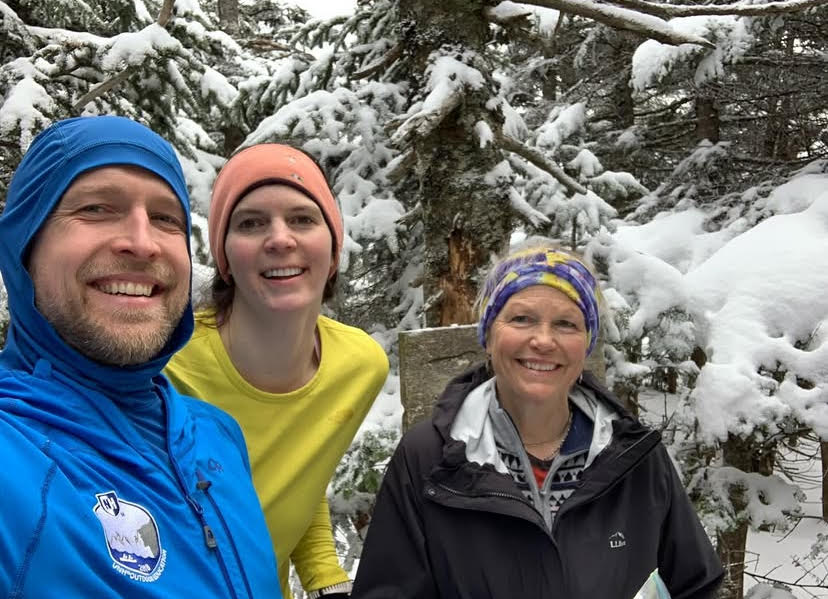
There were people, so many people, along the way. My kids, who watched out for me, via text, on every peak. Lori Hall, who first told me about the Grid. Philip Carcia, the wolf of the Whites, whose encouragement and support meant the world. Georg, legend, whose advice was always gold. Brooke and Lad, who let me join them midway through a Bond/Zealand traverse and gave me a ride back to my car. Summerset, who also came through in a similar way. Numerous groups of Holderness students on their Outback program, reminding me of the son who once did the same.
Online friends who heartened. You, reading now. Aggie and Donna and Melissa, always in my corner. Ed Hawkins, of course, for managing all of us Gridiots.
Zealand with Brooke and Lad, March 2024
I did all the peaks solo except for one traverse of the Bonds, with Carolyn, and a Carter/Wildcat traverse with Timothy, my old hockey coaching partner. I’ll probably replace those hikes later this year just to say I did them all alone, but I’m thankful for the fun we had on those hikes. Their company was sweet.
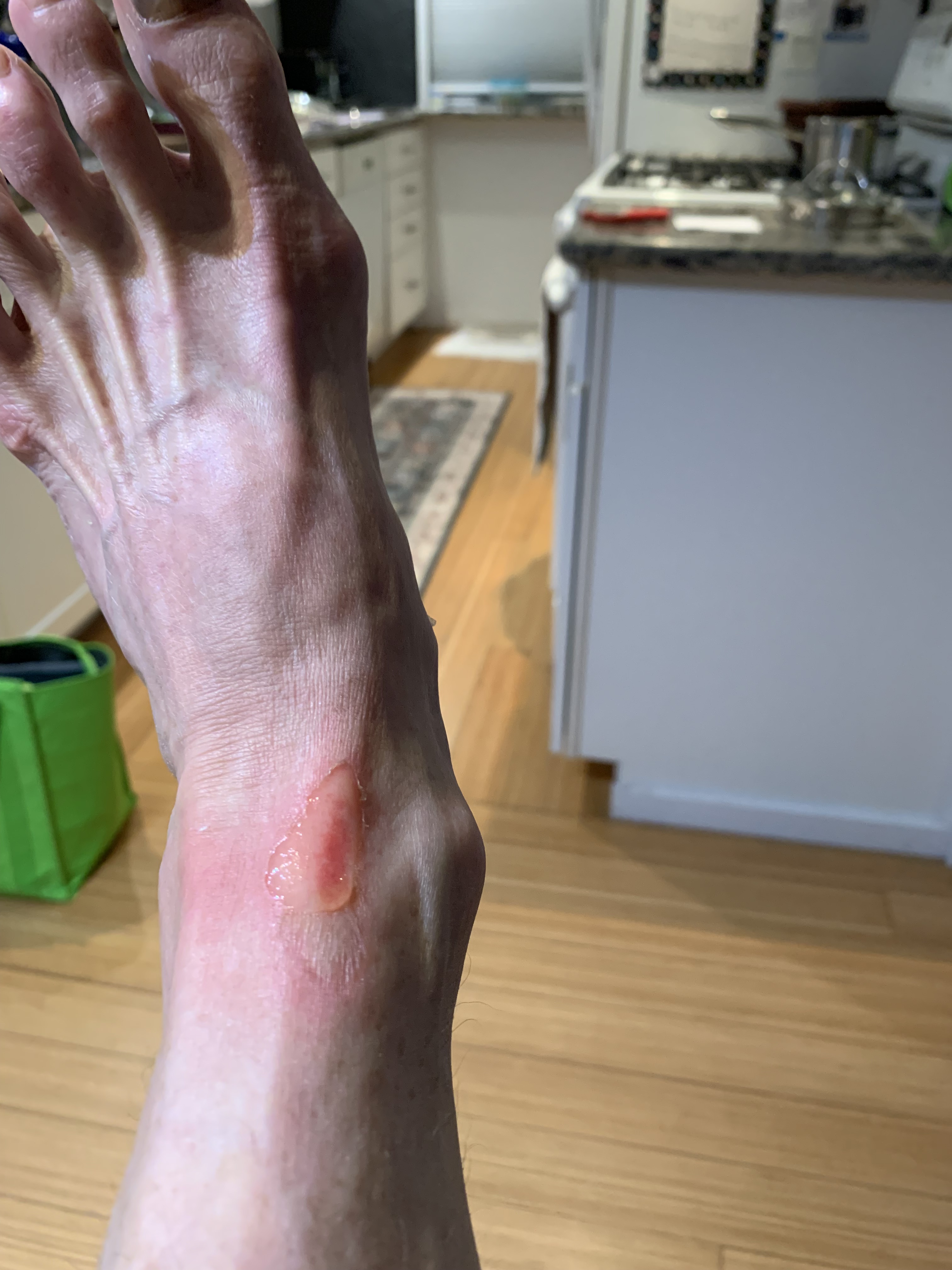
Mishaps occurred, as they often do. Broken bones, bruises, bonks on the head from ice-laden branches, scratches and sticks and blisters galore. Toenails went missing. Once, I burned the top of my ankle with a toe warmer on a bitter cold day on the Bonds.
Ouch
Why it burned one side but not the other I cannot say, but the scar persists.
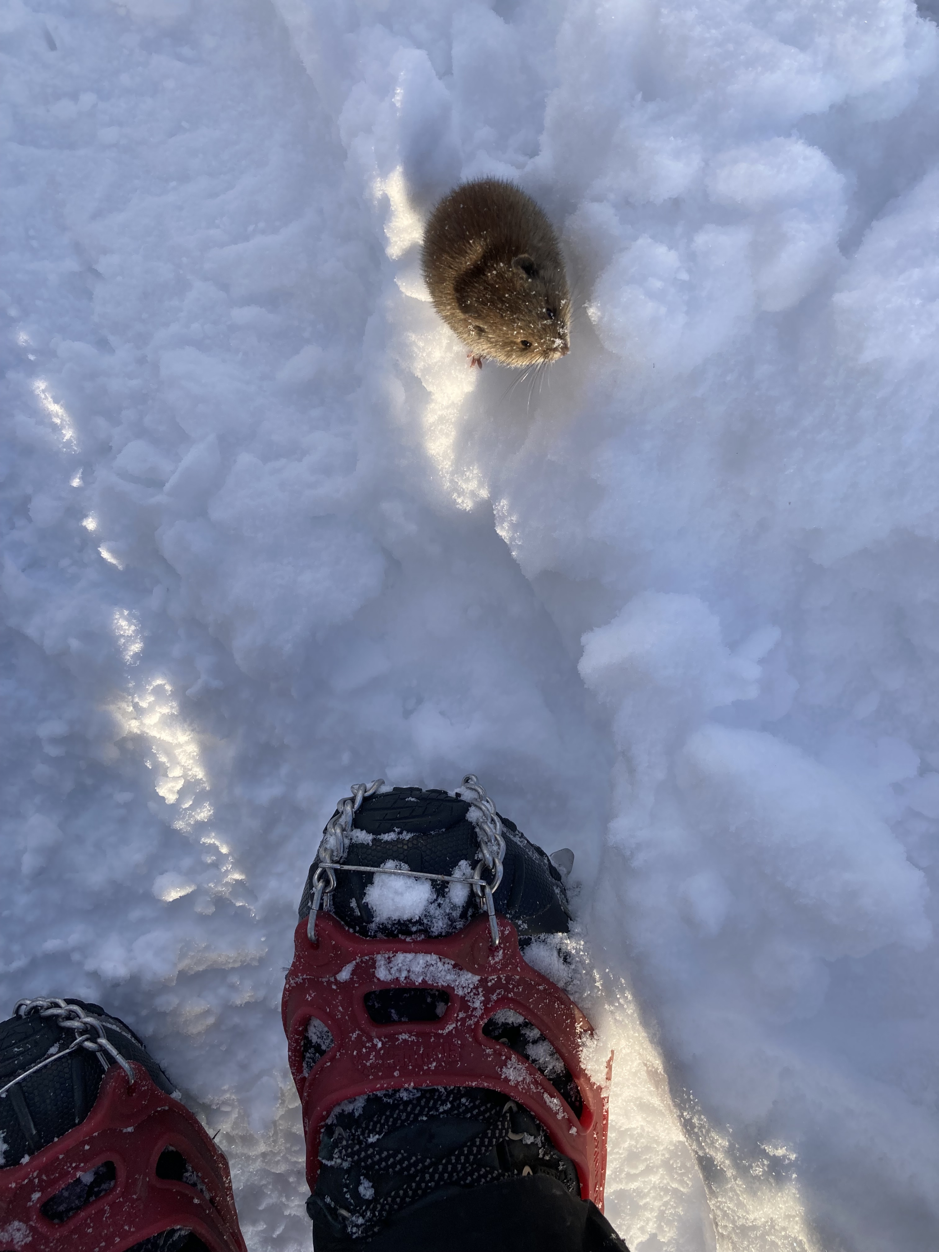
There were lots of animals, mostly birds, but one moose on Isolation. A mouse, strangely, on Lafayette, the day before that same hike would claim the life of 19 year-old Emily Sotelo in November of 2022.
What are doing up here, little one?
When I started to Grid, there was so much I didn’t know. So much I still don’t.
Last ascent Adams, March 2025
Jackson, May 2021
My gear currently sits in a crate on the porch. I’m a little tired and need a break from constantly checking the weather, my schedule, the snack cabinet, a list.
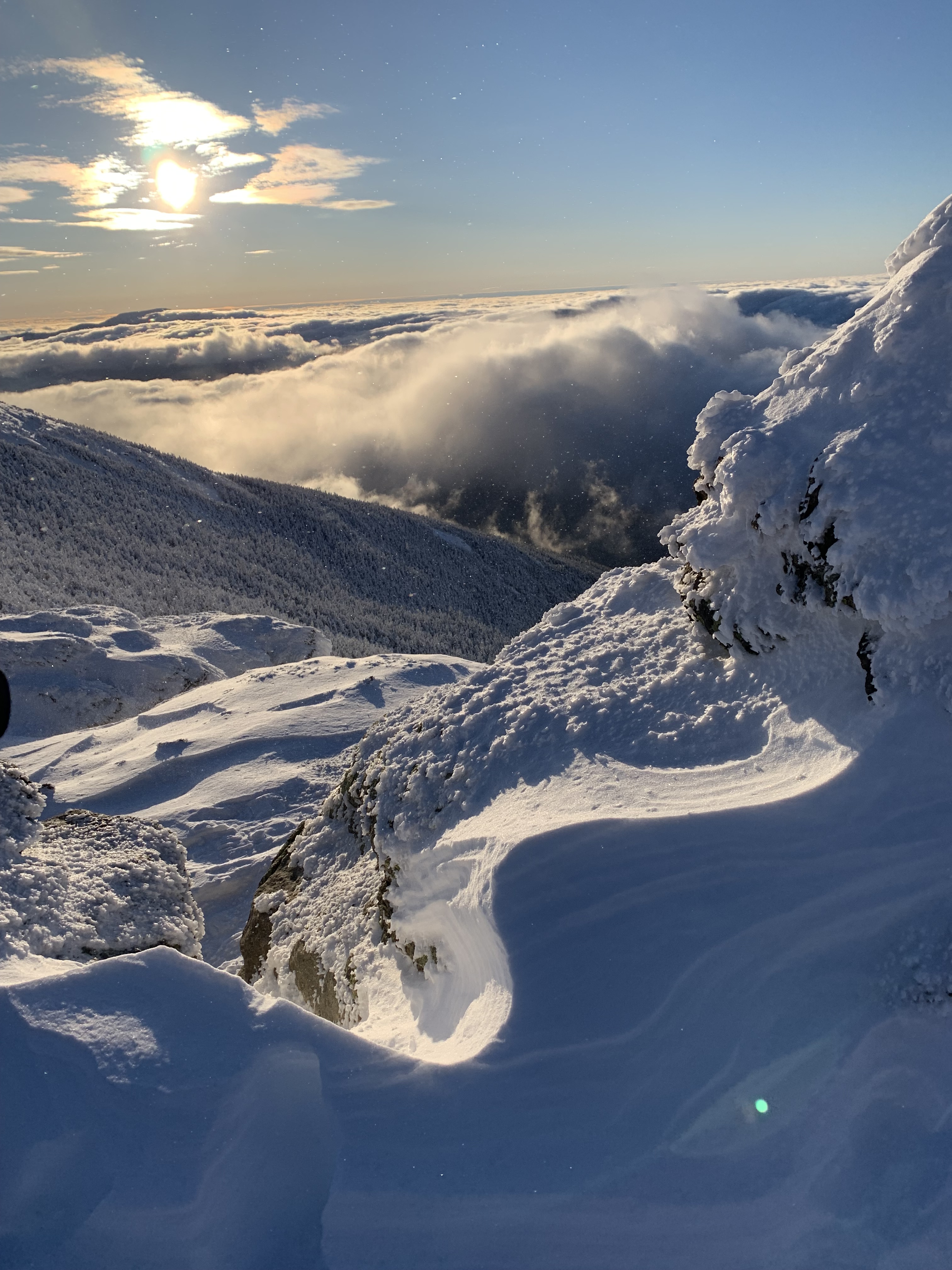
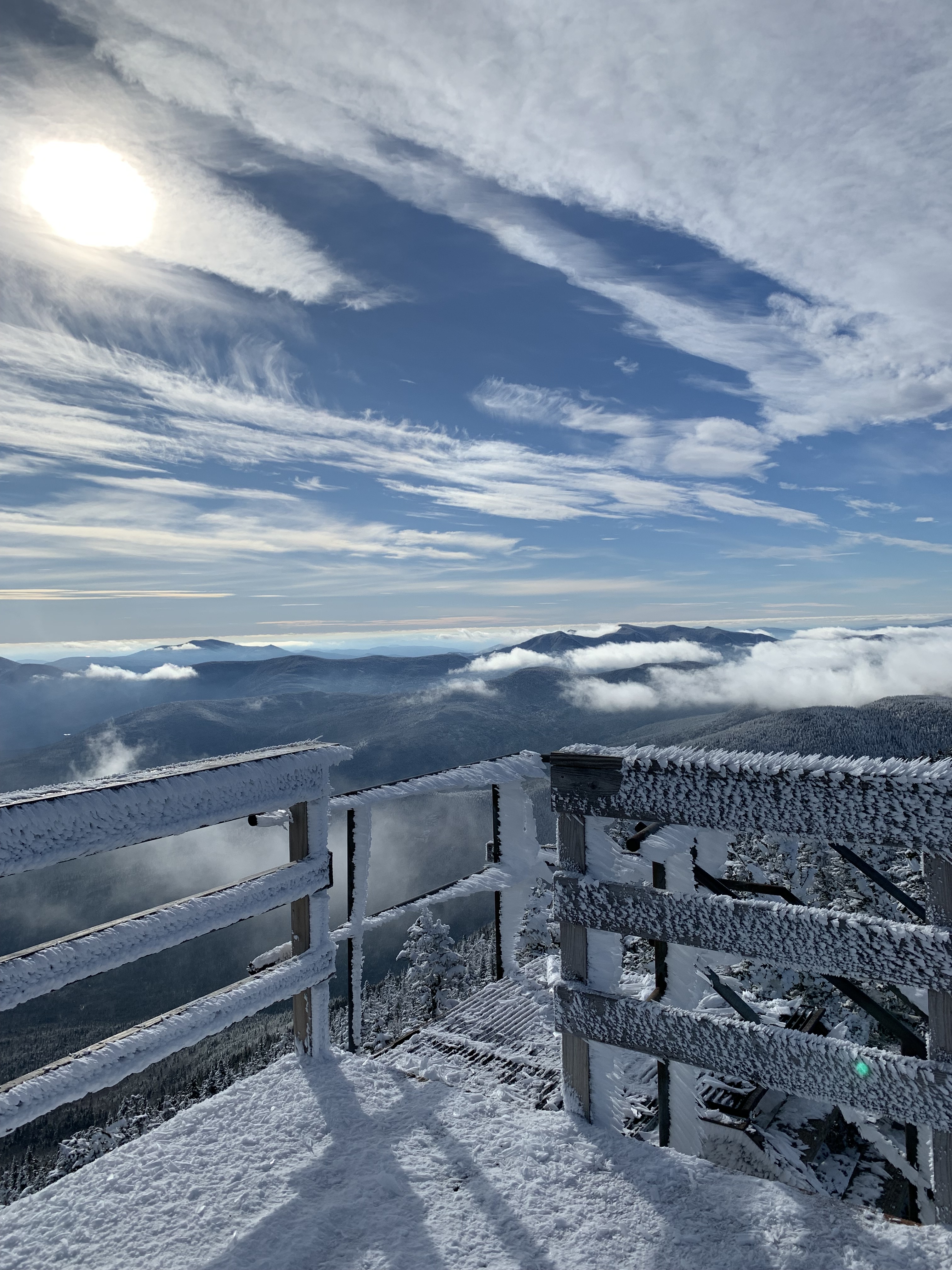
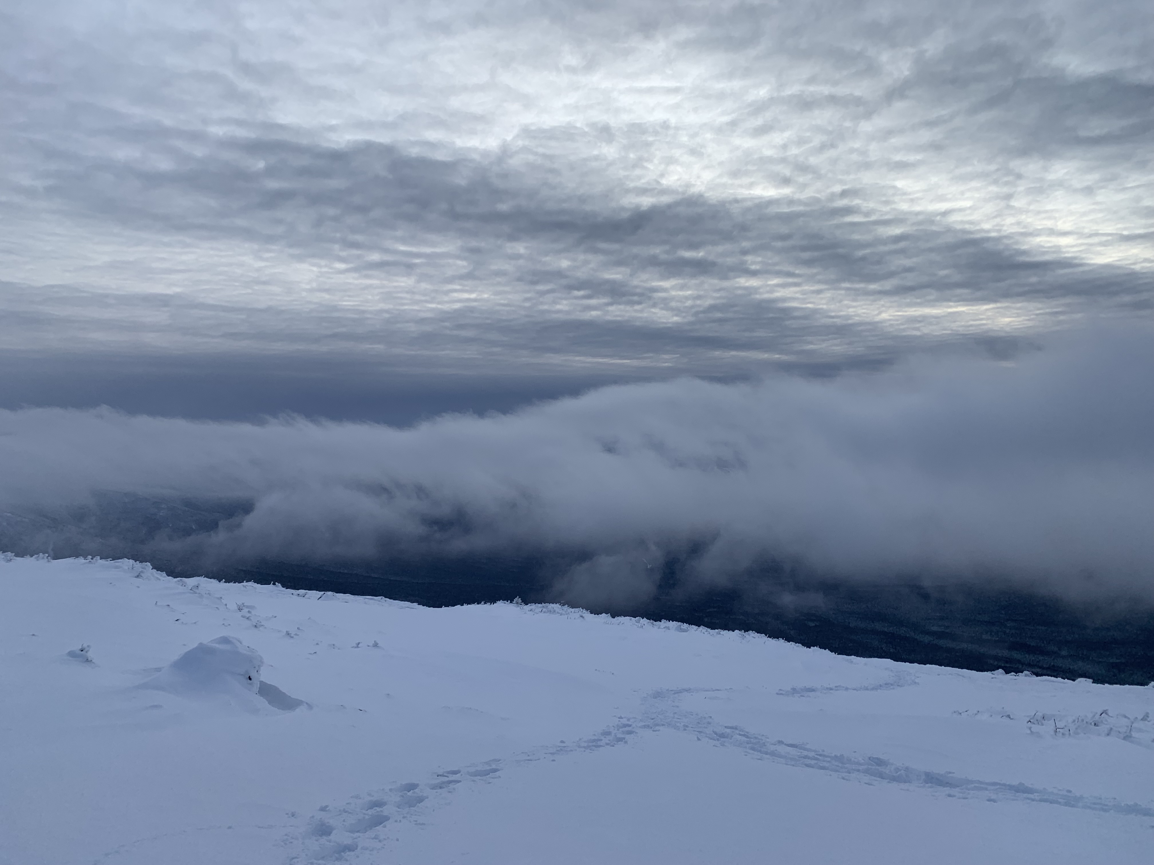
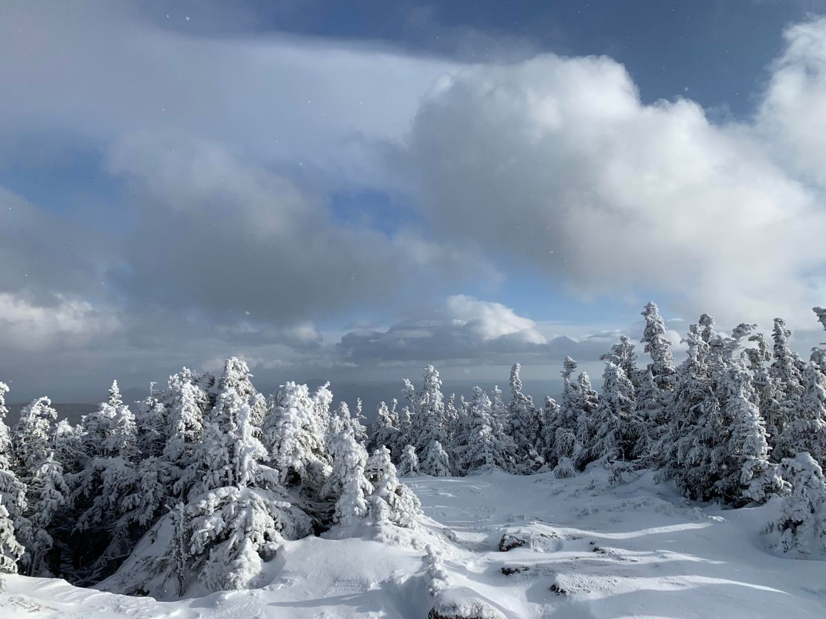
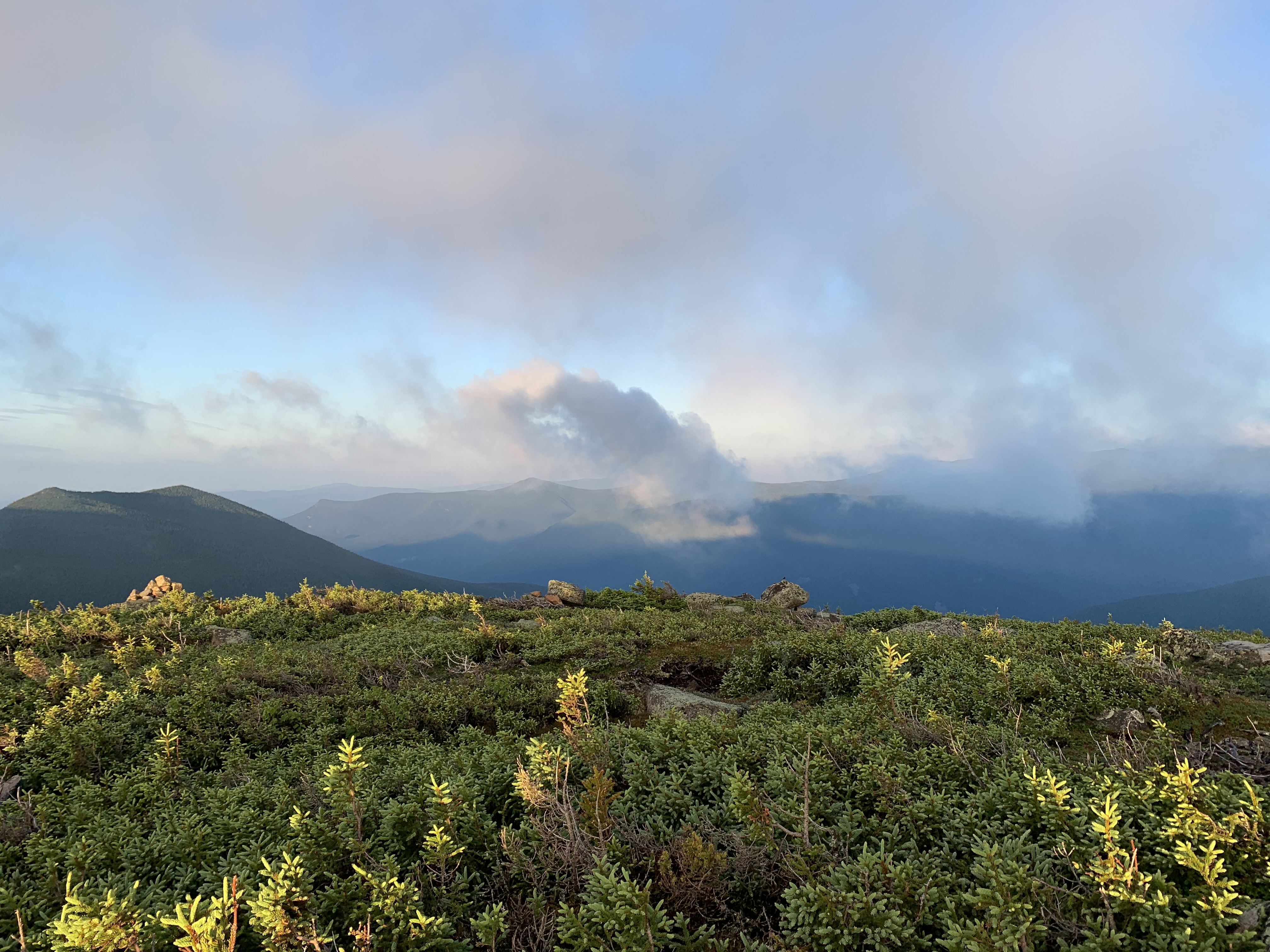
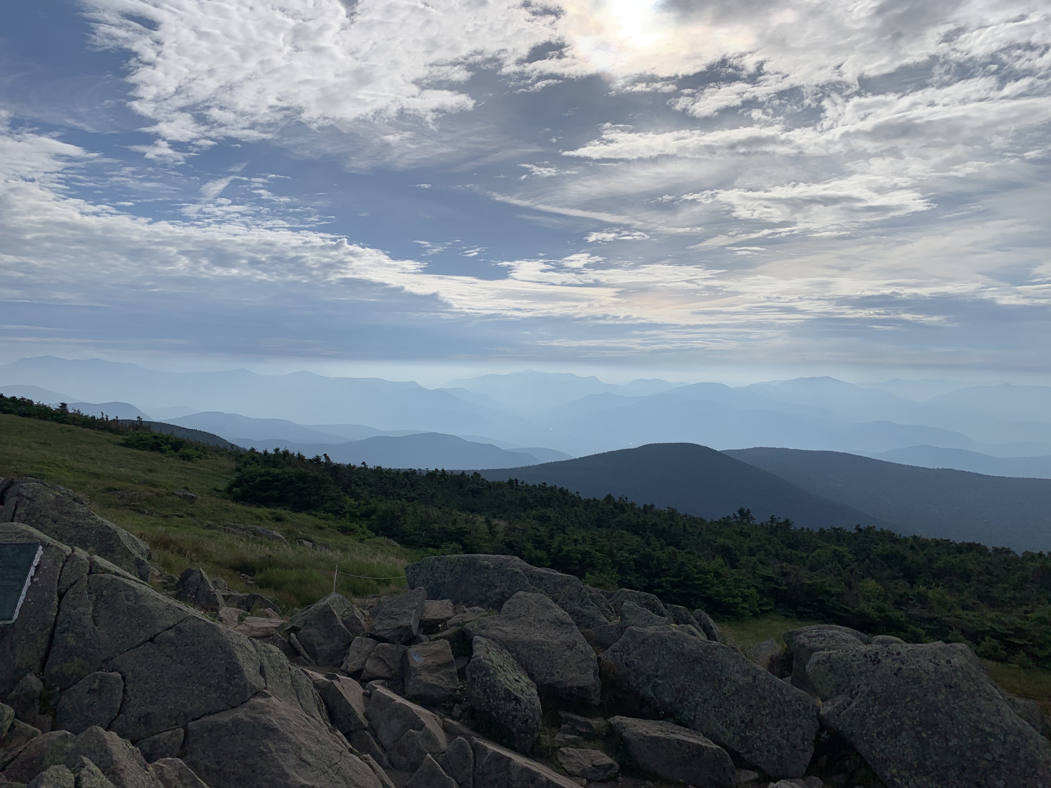
Clouds over the Gulfside Trail, February 2025
I hope to keep hiking a long, long time.
Up high, there’s a peace I find nowhere else. A closeness to my son, my mom and dad, the ache not absent, but assuaged.
November 2022 on South Twin
No step is ever wasted as we steer toward eternity.
Wild and wonderful is this world you have made. (Psalm 104:24)
The weather conspired at every turn to keep me from the northern mountains, from finally finishing a hiking list I’ve been working on since June of 2018 (more on that in a future post). When that magic moment came at last, my March break had shrunk, leaving me with only a little over a week to escape to Florida and walk another section of its iconic trail.
The clock was ticking.
Further complicating matters was, not surprisingly, more bad weather, this time rain storms north of the Suwannee River. The trail alongside was flooded again, and I had to scramble to find another section, somewhere to park my car safely, and a trail angel to give me a ride.
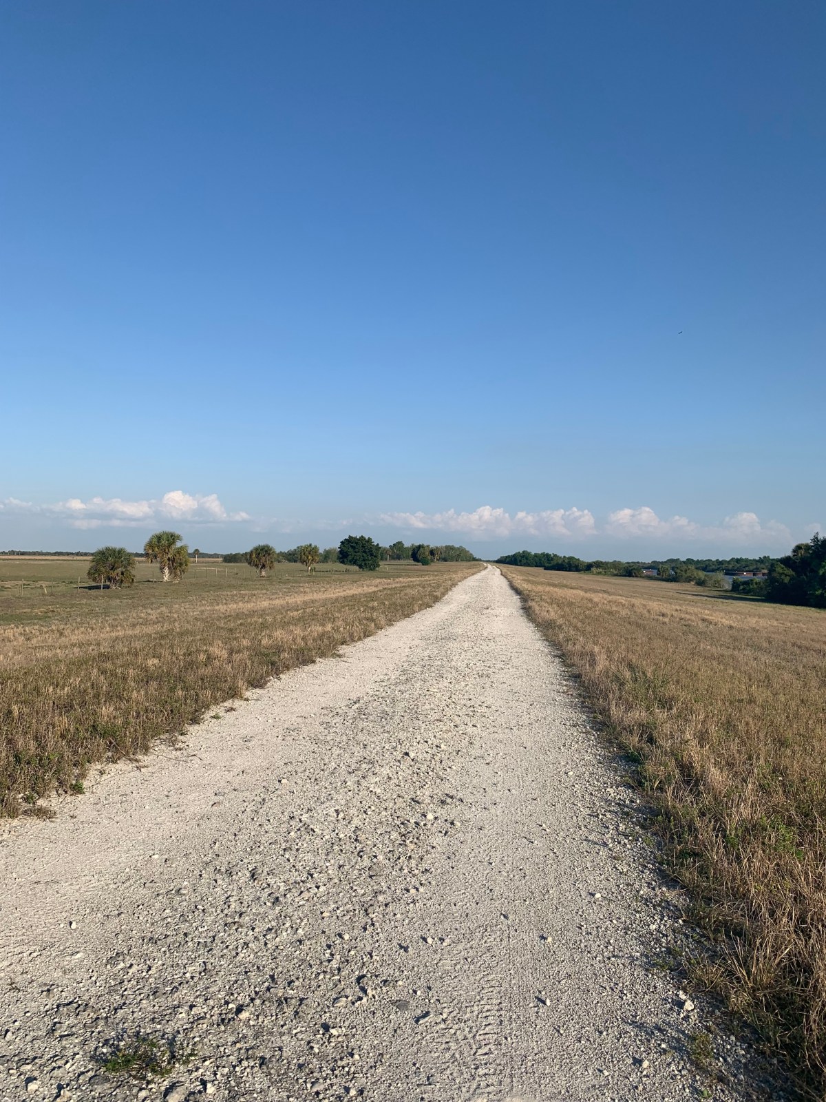
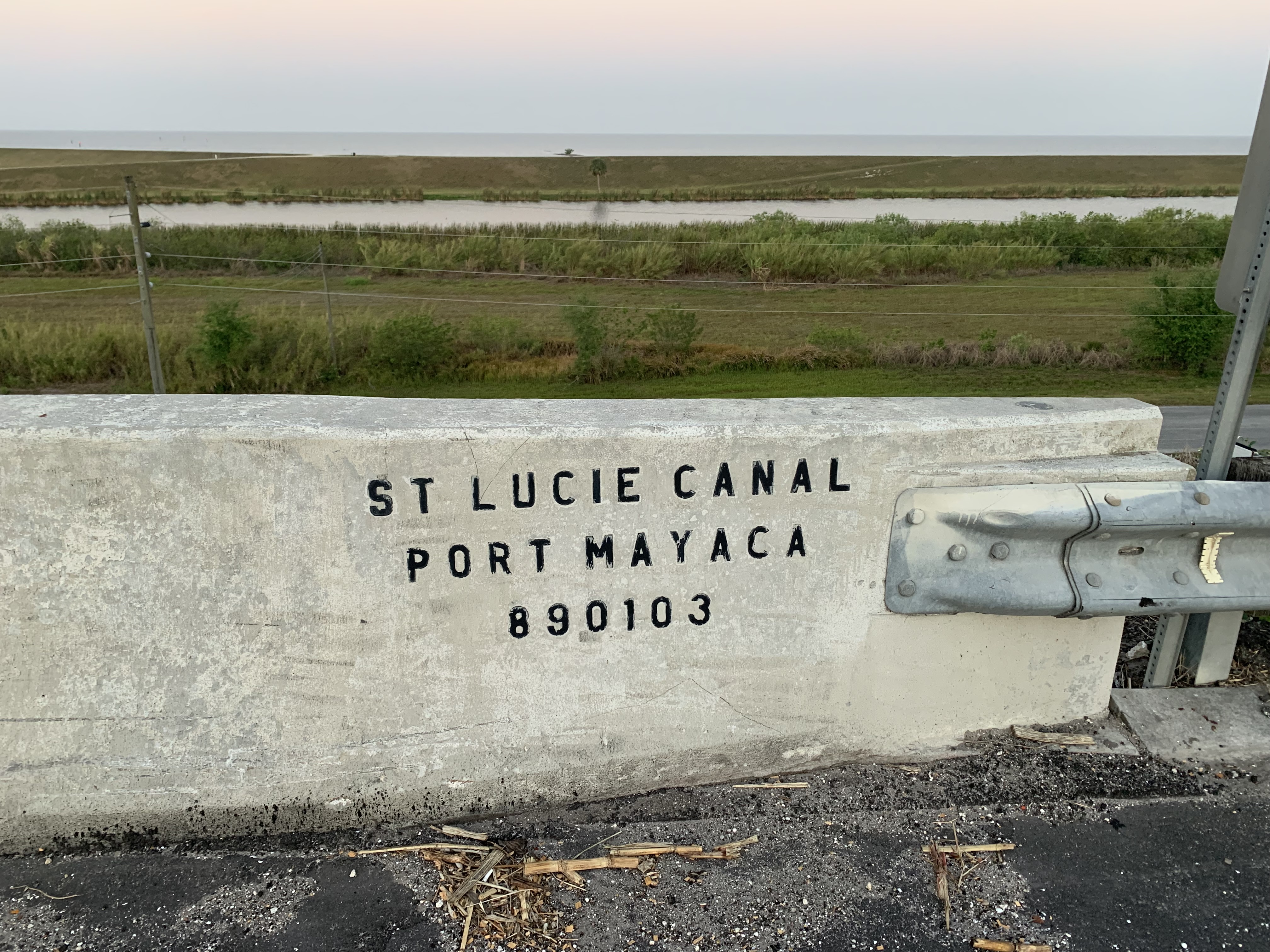
I had long anticipated walking the southern levees of the Florida Trail; pictures I had seen showed long, flat, dry stretches of trail running next to canals and lakes bathed in the glorious glow of a benevolent sun. Sick of winter, this seemed like the perfect option: maps were gathered, details confirmed, items hastily thrown in pack and car.
It was time to head south.
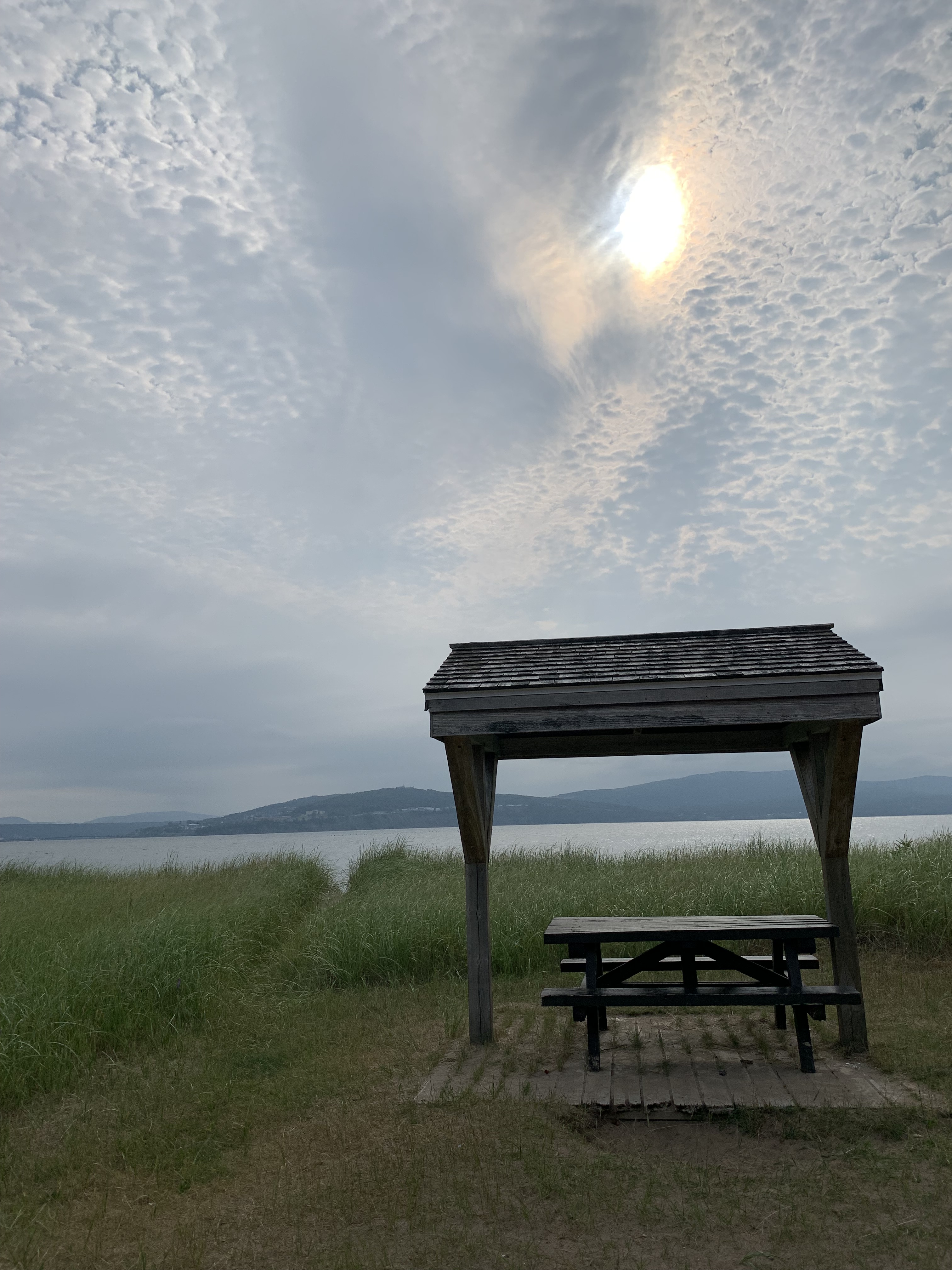
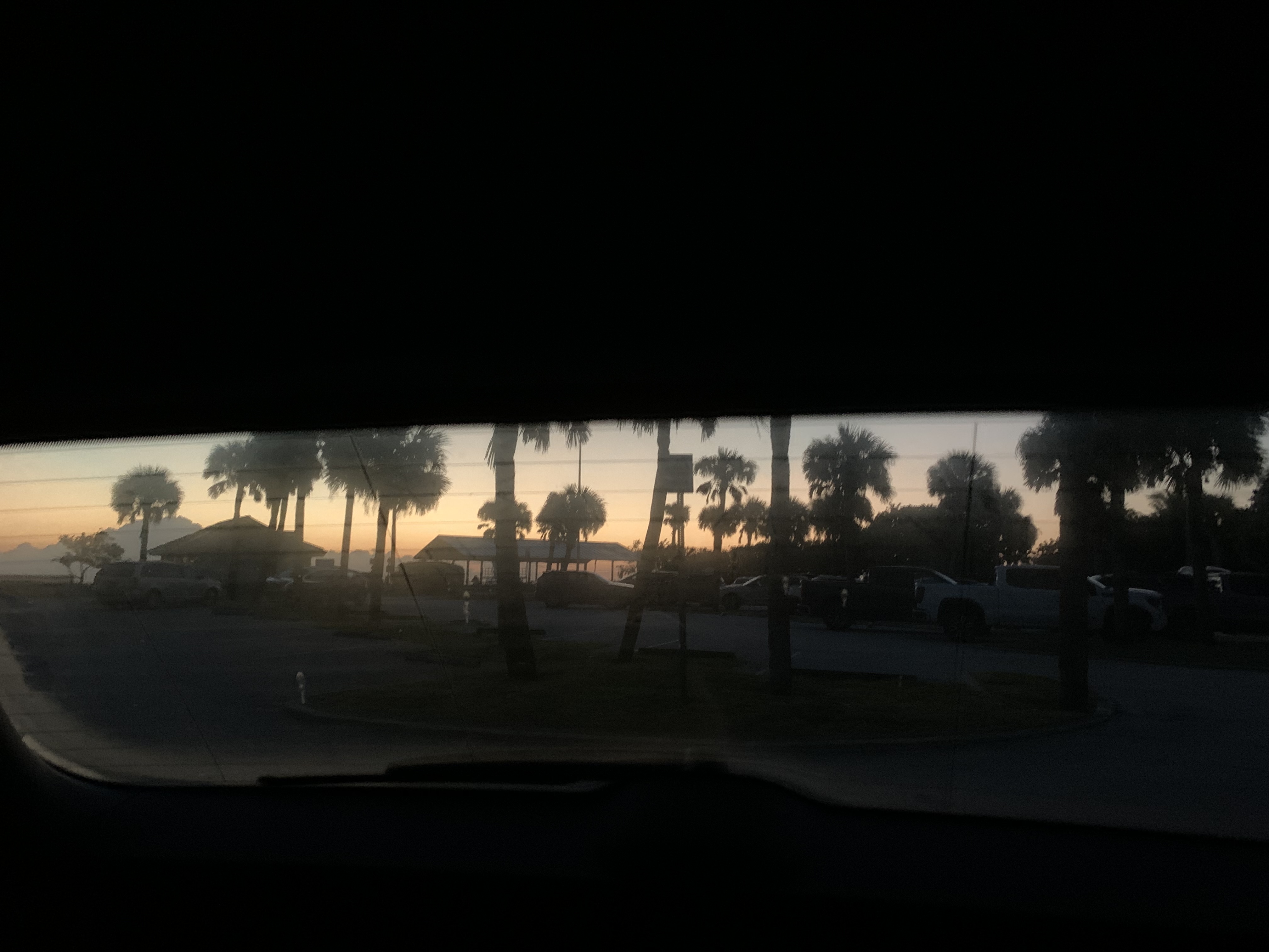
I spent the night before hitting trail in my car at Hobe Sound Beach; waiting for Darby, the trail angel giving me a ride, I joined other early risers catching the colorful sunrise.
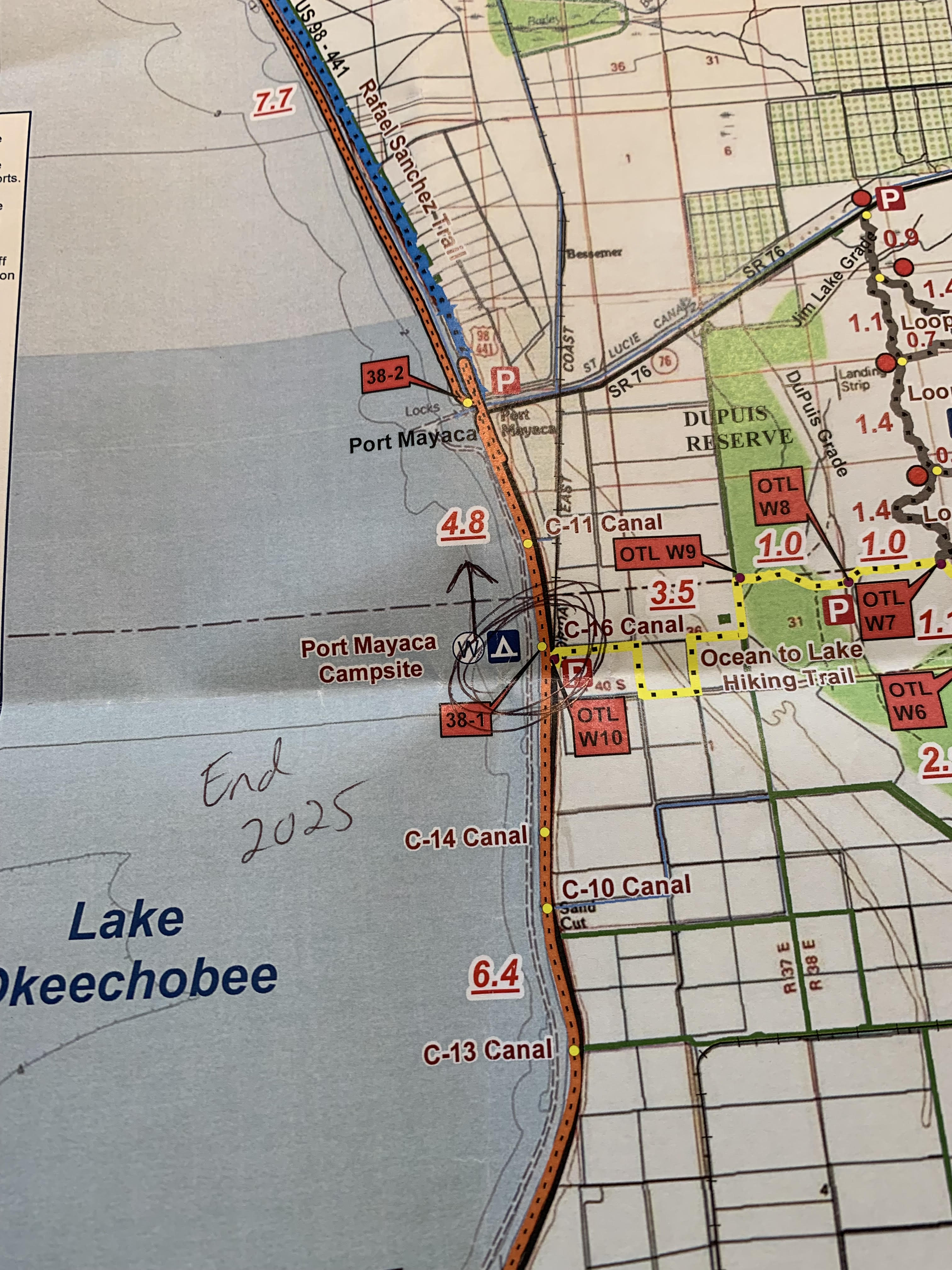
Hobe Sound Beach is the eastern terminus of another, shorter Florida trail called the Ocean to Lake Hiking Trail. My plan was for Darby to drop me off 110 miles north/west of this terminus and walk back on 50 miles of Florida Trail, then join the 61 miles of Ocean to Lake where its western terminus intersected with the FT at Lake Okeechobee. I was already planning on a celebratory hop in the waves in five days time.
Because I had patched my itinerary together so quickly, I hadn’t really had time to study my maps or the FarOut app to glean what was to come. Blissfully ignorant, I waved good-bye to Darby at the intersection of US Route 98 and NW 144 and started walking.
Yikes.
There was no shade anywhere. Road, field, and eventually the canal levees were all fully exposed with few places to duck out of the heat along the way. It was a barrage, a state of constant sunshine I could not outwalk.
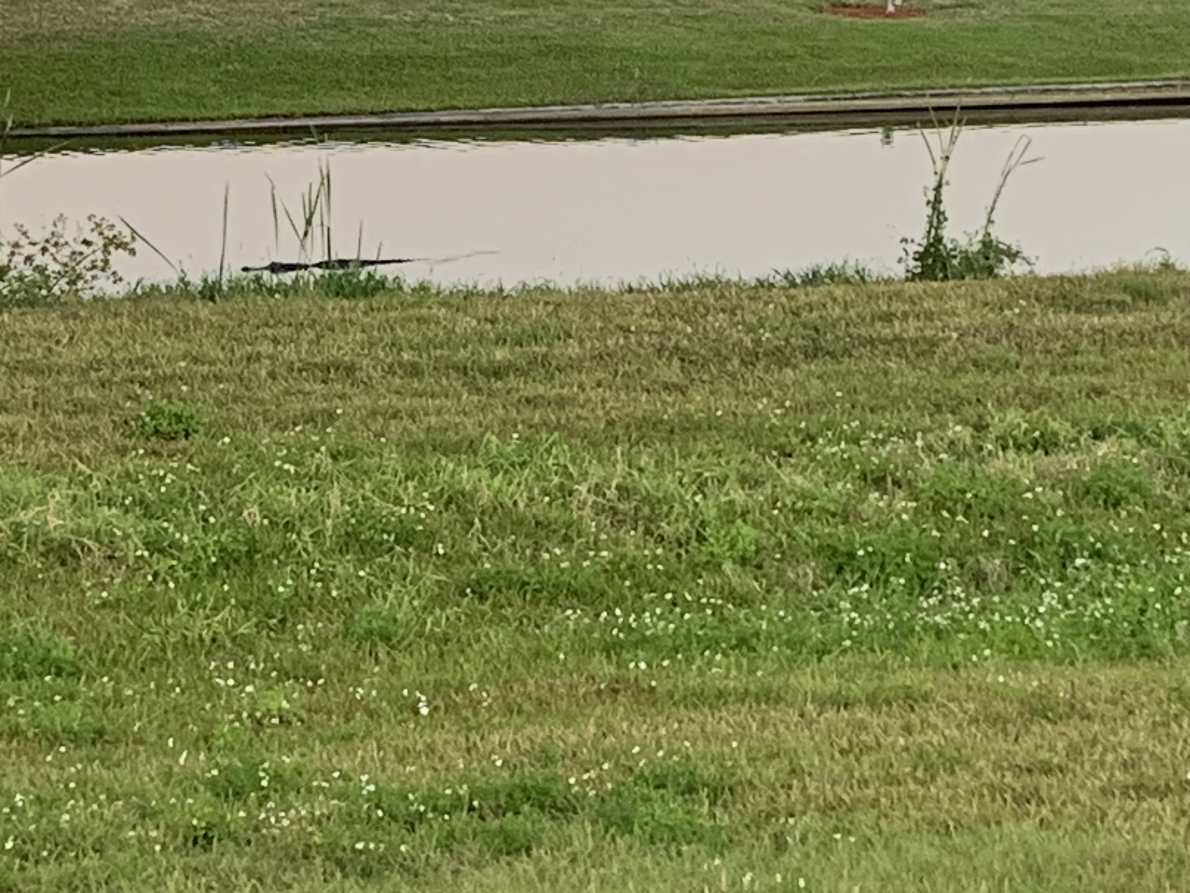
Water was scarce. I rationed as best I could and carried multiple liters. Although I hiked for miles along a bike path with canal on one side and Lake Okeechobee on the other, both were full of both potential agricultural run-off and alligators. So no, not great sources for hydration.
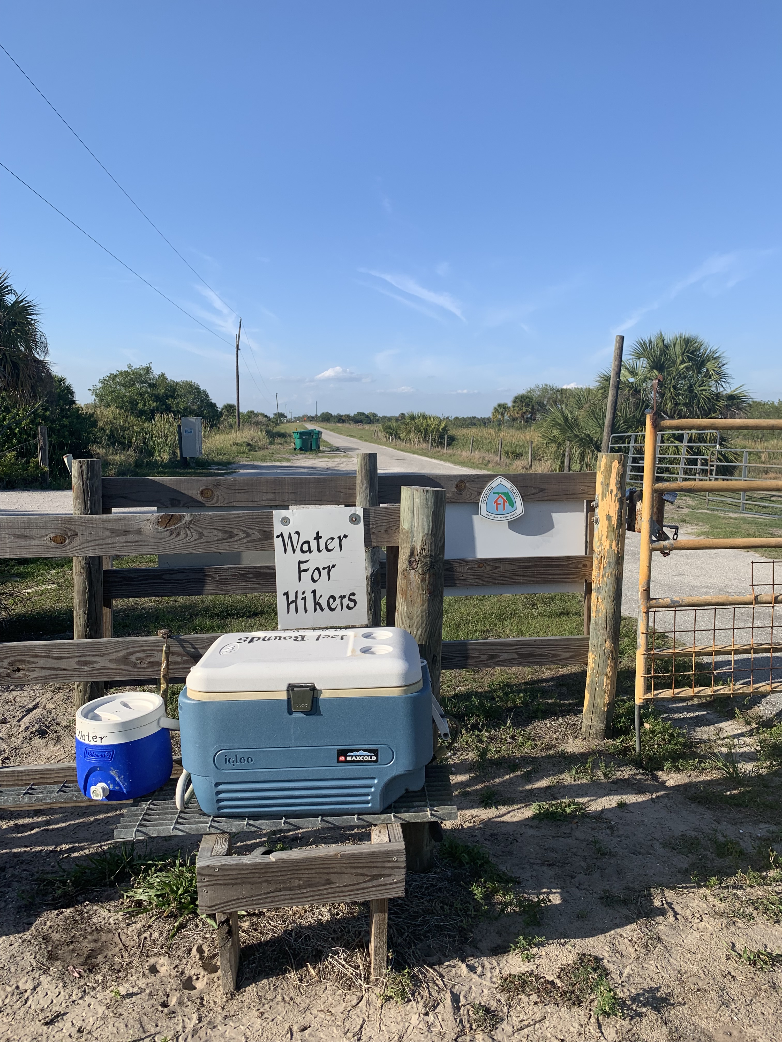
Luckily, people along the way were incredibly generous. The first day, I passed an older gentleman in a golf cart who filled all my bottles with cold water from a jug. Trail angels left stations along the dryer sections, though many of these were not kept up due to the lateness of the hiking season.
The barkeep at a fish camp a half mile off the canal told me no one along Lake Okeechobee drinks water from the faucet; she, too, filled me up from a fridge of bottled water behind the bar.
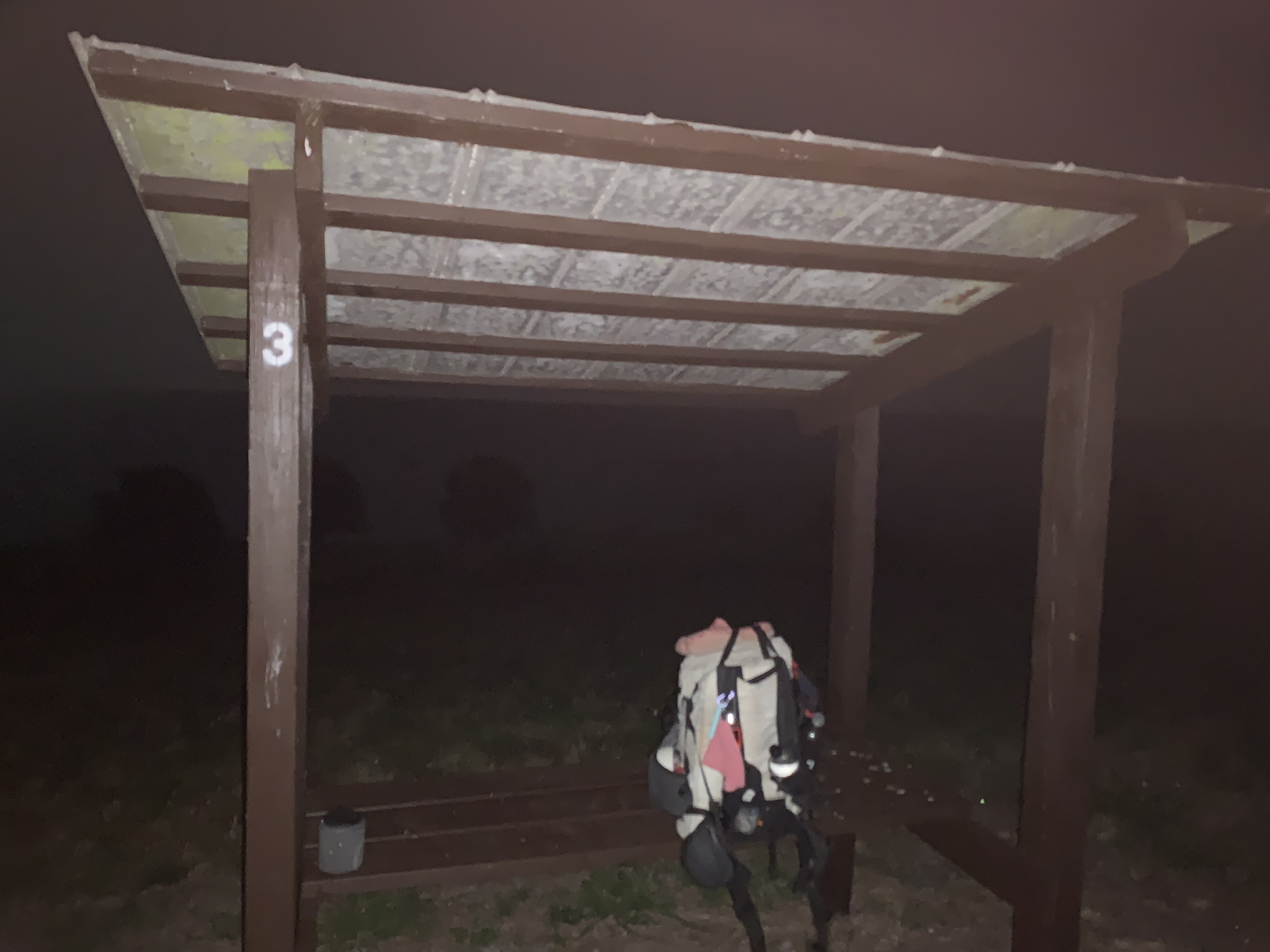
Tenting along the dike was tricky, as well. The bike path sloped down in both directions and the designated campsites were too close to civilization for me, as a lone female hiker, to trust. One night I slept next to a water control station, the next under a covered bench.
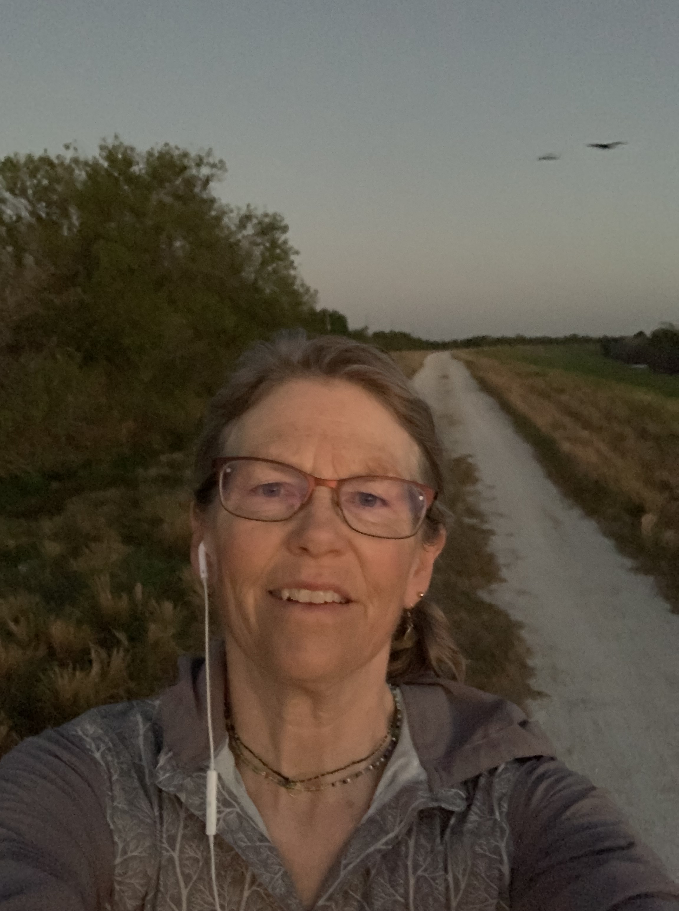
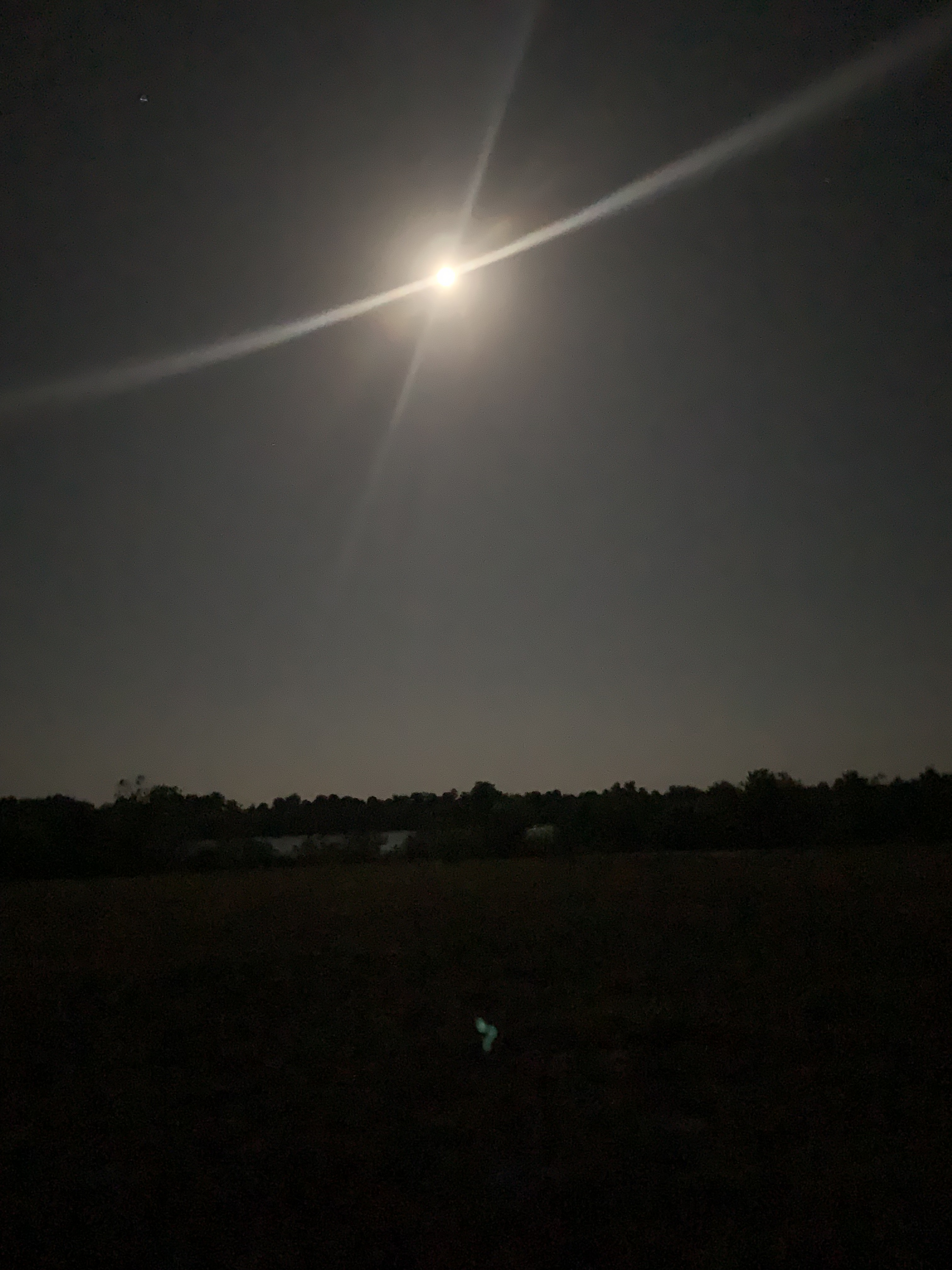
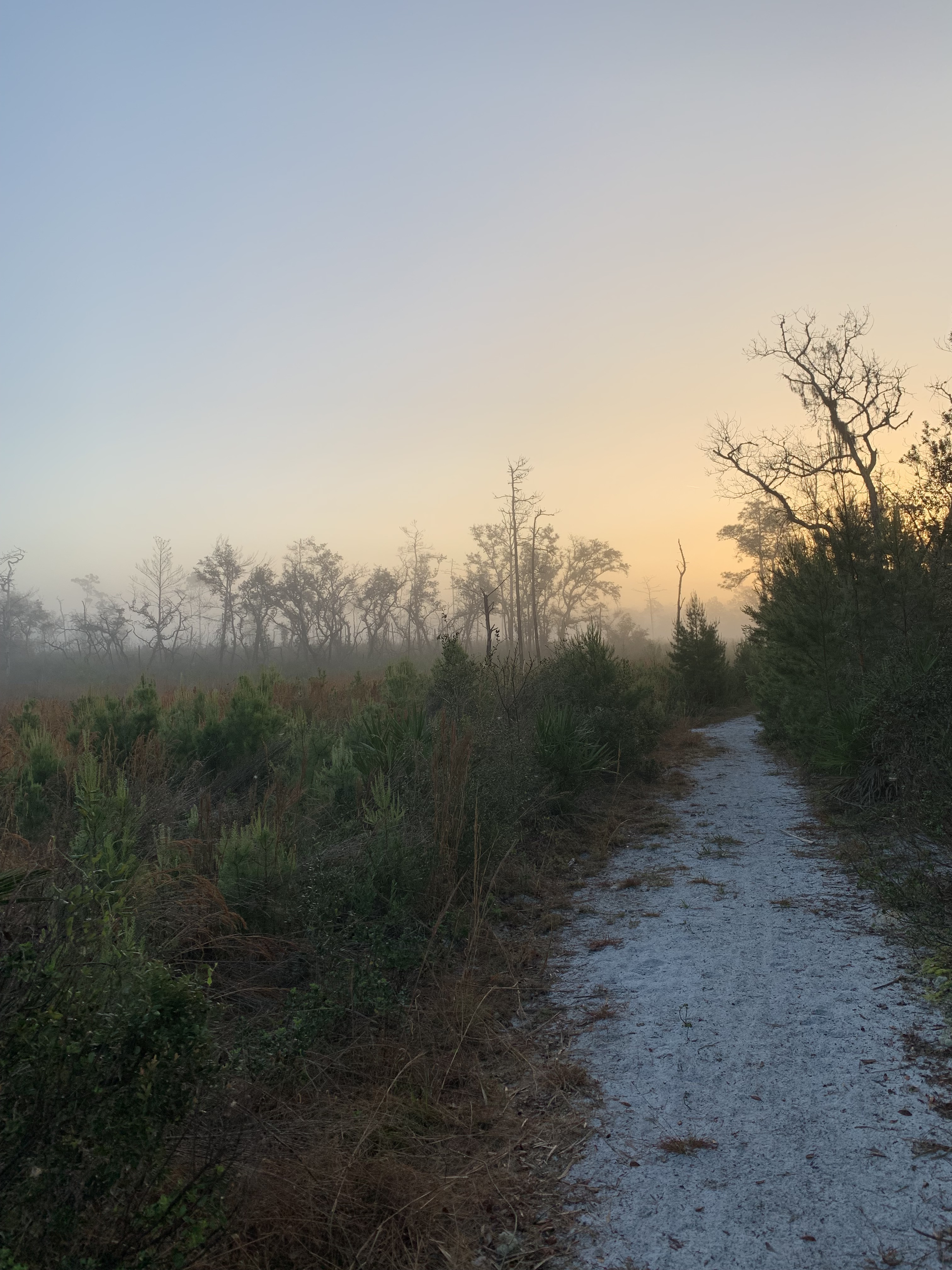
I woke up early to get in a few hours of sunless hiking.
The moon was bright and full, and I walked without a headlamp while the dawn crept slowly up from behind the distant trees.
Late on the morning of the third day, I finally reached the terminus of the Ocean to Lake Trail, wondering how I ever could have thought that walking on sun beaten levees would be fun.
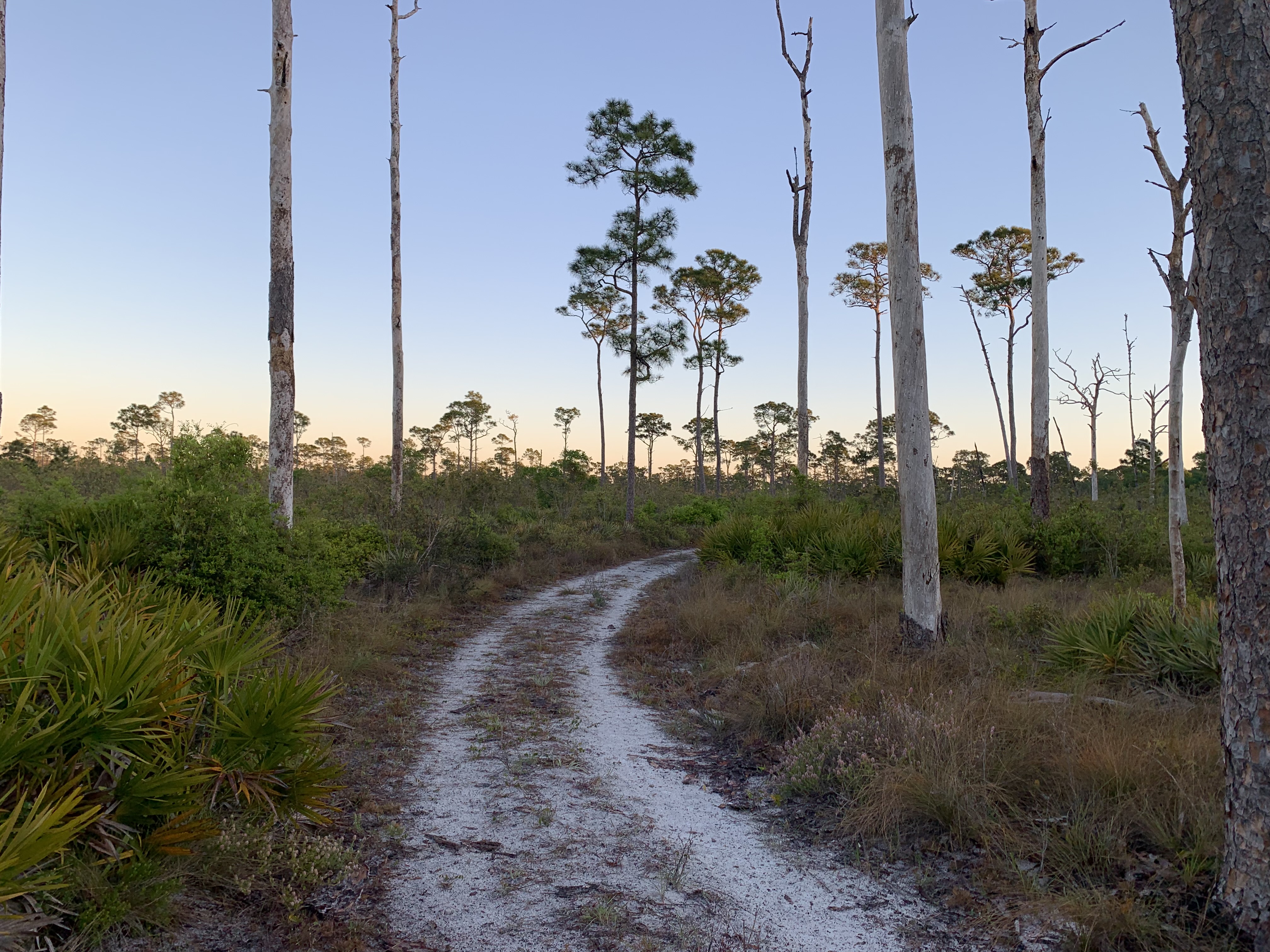
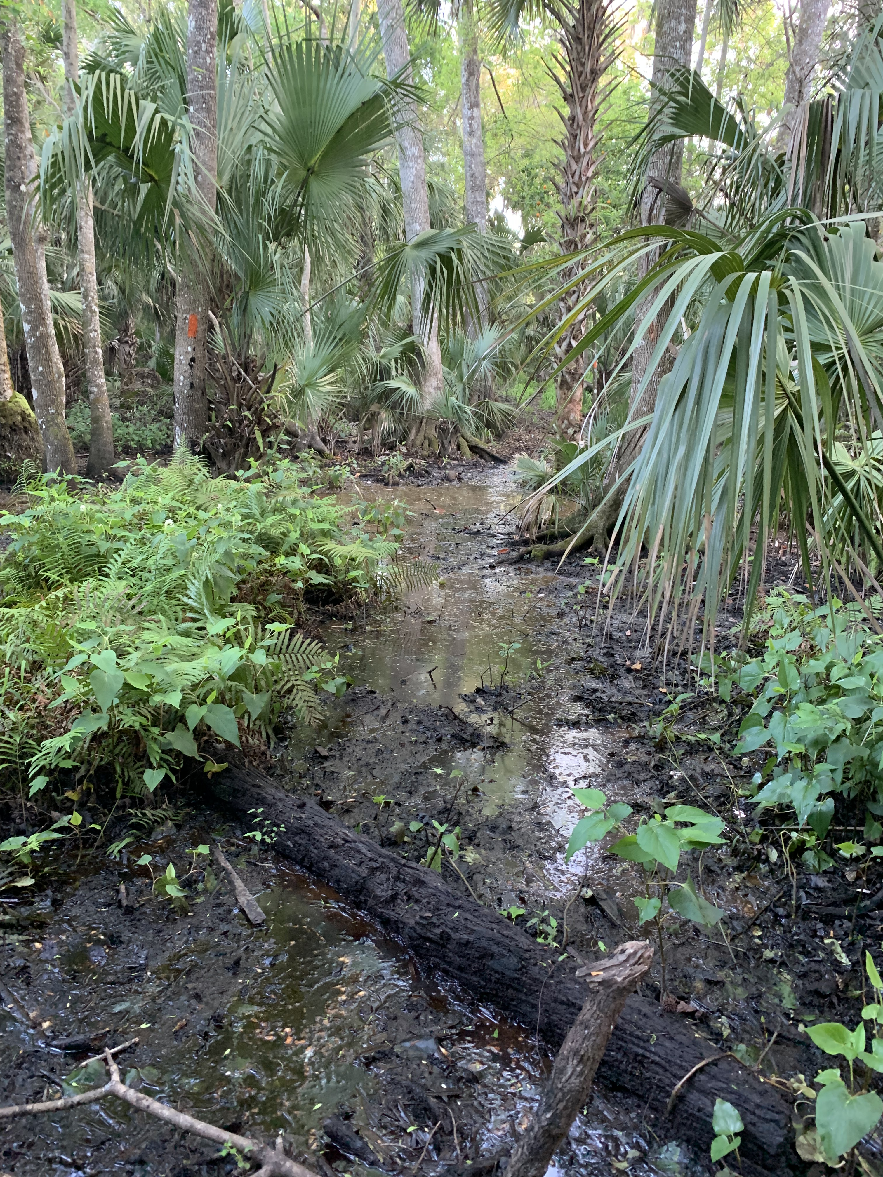
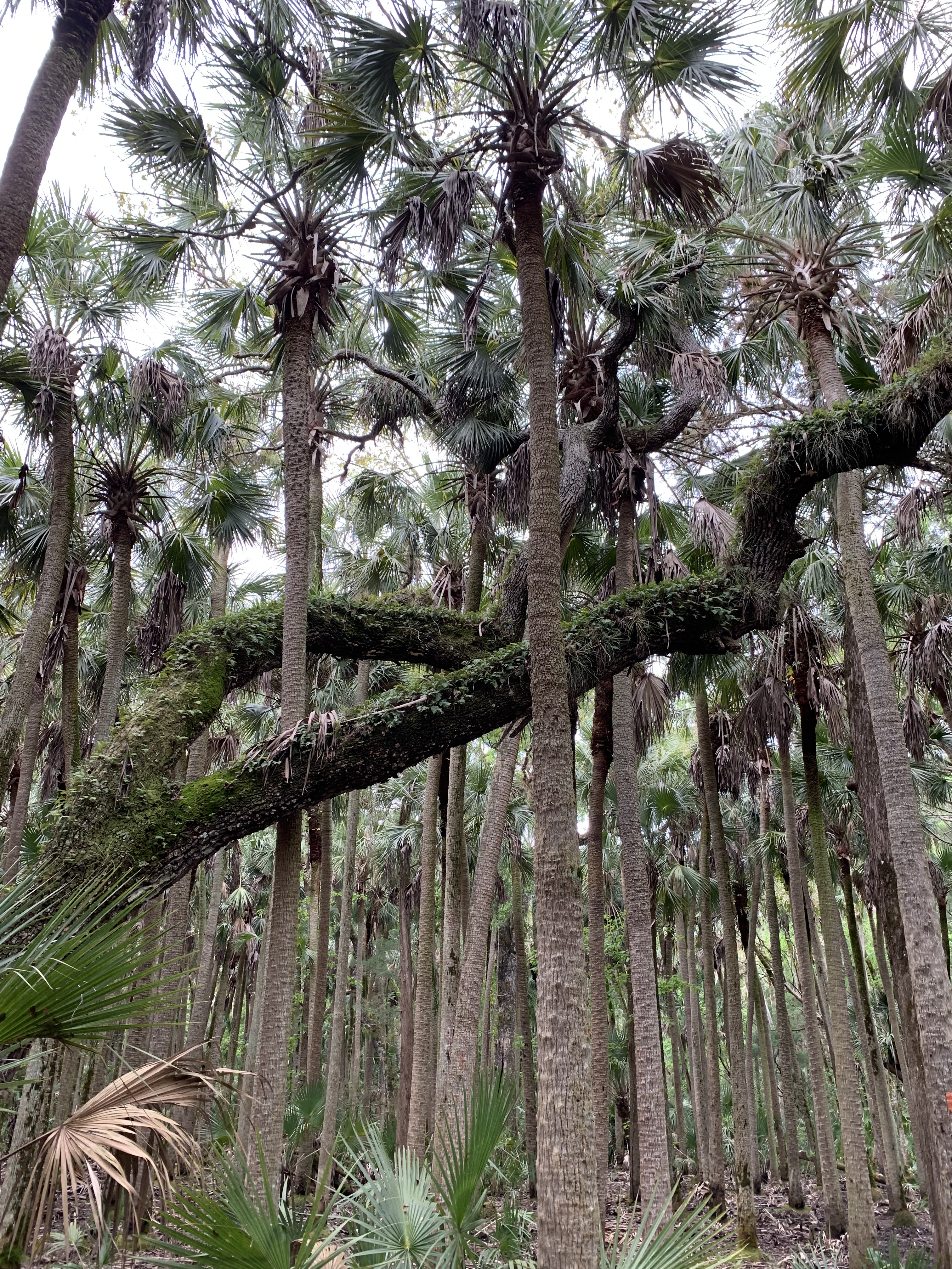
I was never happier to be back in the woods. This was the Florida I had come to know and love: saw palmettos, grassy prairies, soft, sandy paths.
Shade.
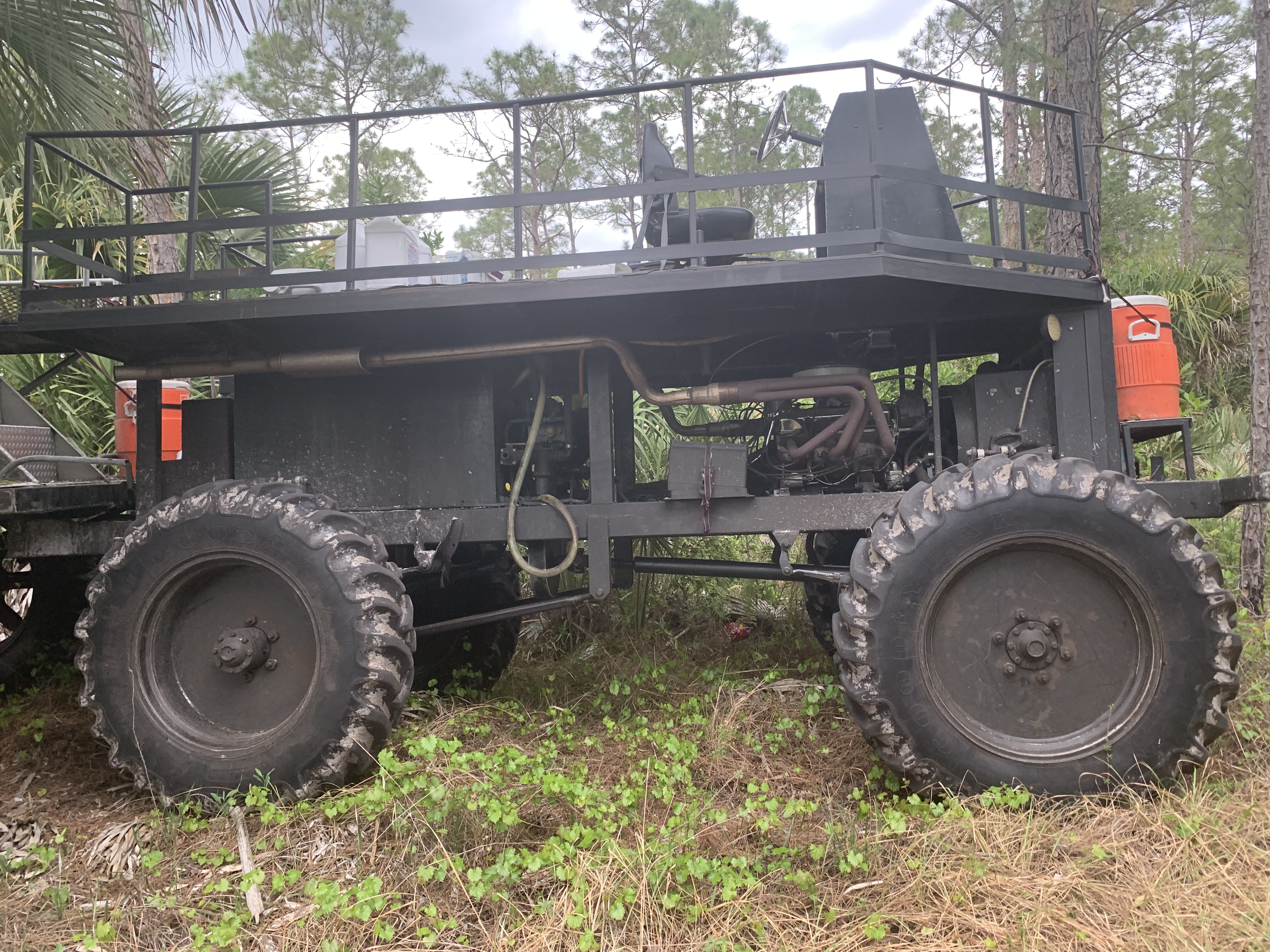
The FarOut app kept mentioning swamp buggy trails along the initial stretch of the OTL, and I started to pass evidence of their assault.
These massive vehicles crash through the forest, tearing up ground and leaving scarred swaths behind. I passed a fleet of the offending machines during a late afternoon sprinkle and thought what a shame it was that the drivers couldn’t appreciate the surrounding beauty in a less offensive way.
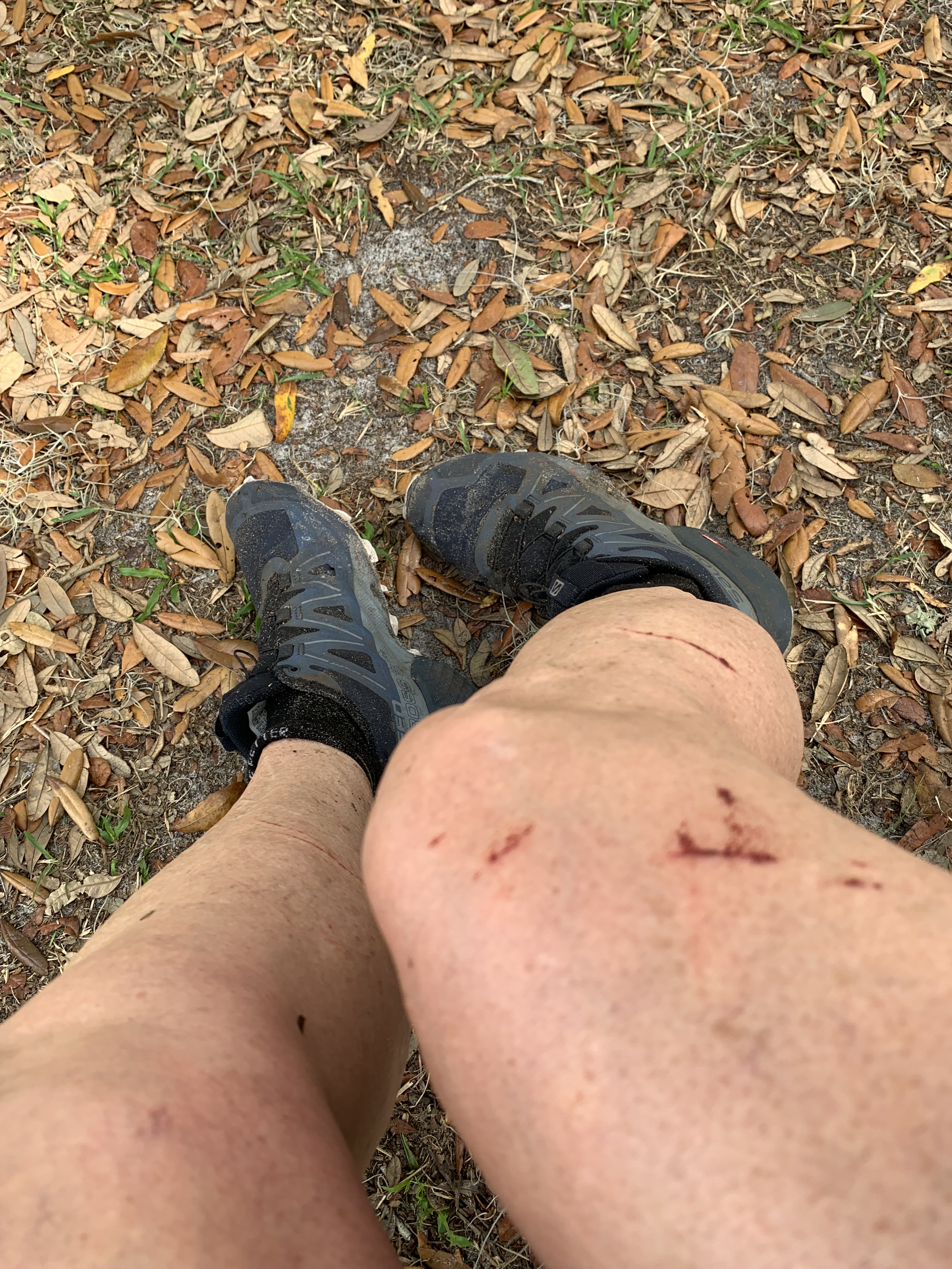
Other creatures tore up the trail. Feral pigs roamed the woods, rooting up lengths of the path with their powerful tusks.
What they left behind was a minefield of furrows and holes that could roll any inattentive ankle. The morning of the fourth day, all fury rained down from the sky. Marching along, hunched over against the storm, I surprised a herd of these bellicose brutes grunting on either side of me. Perhaps they were as startled as I, for we both scattered, squealing, in opposite directions.
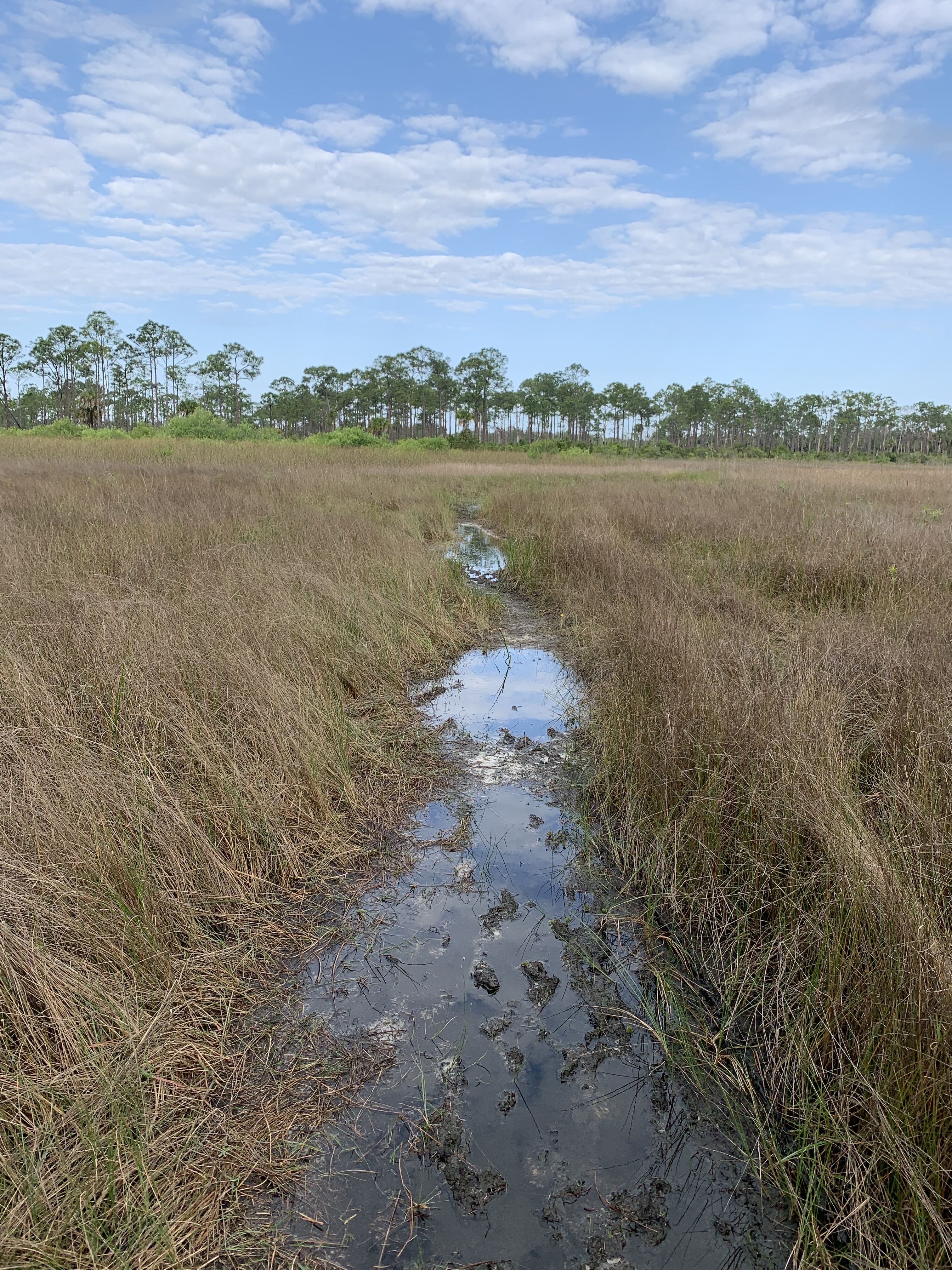
Despite the storm, my feet were the driest they had ever been in any previous year. I even opted to skip a high water bypass, taking instead the direct route through an actual pond. I was so happy I did. Flocks of white birds circled overhead as I slushed along in the cool, clear water.
Later, I turn a corner and a small fawn wobbles toward me, ears alert and curious. It’s the sweetest moment, a reward for the agony of the dikes.
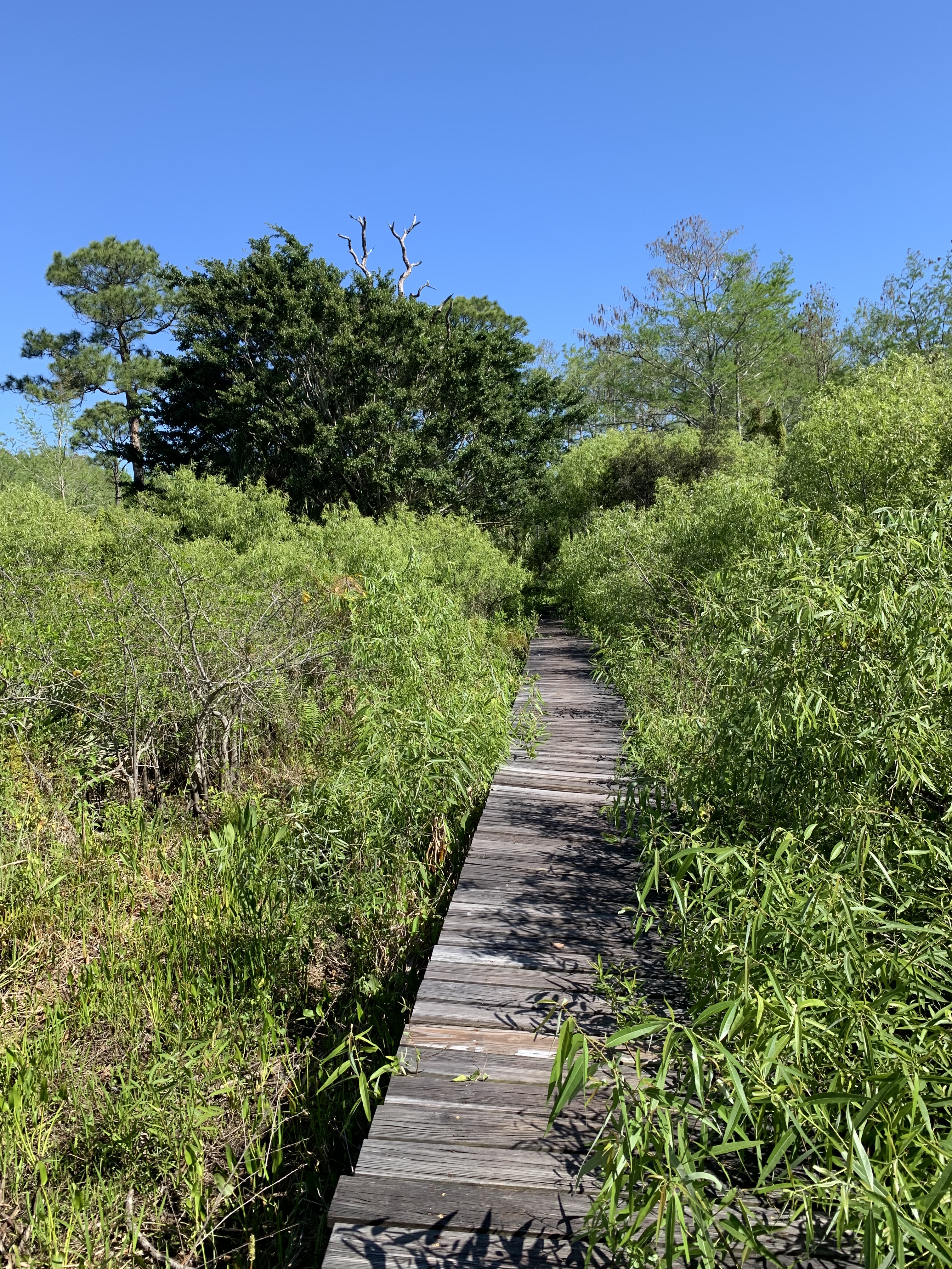
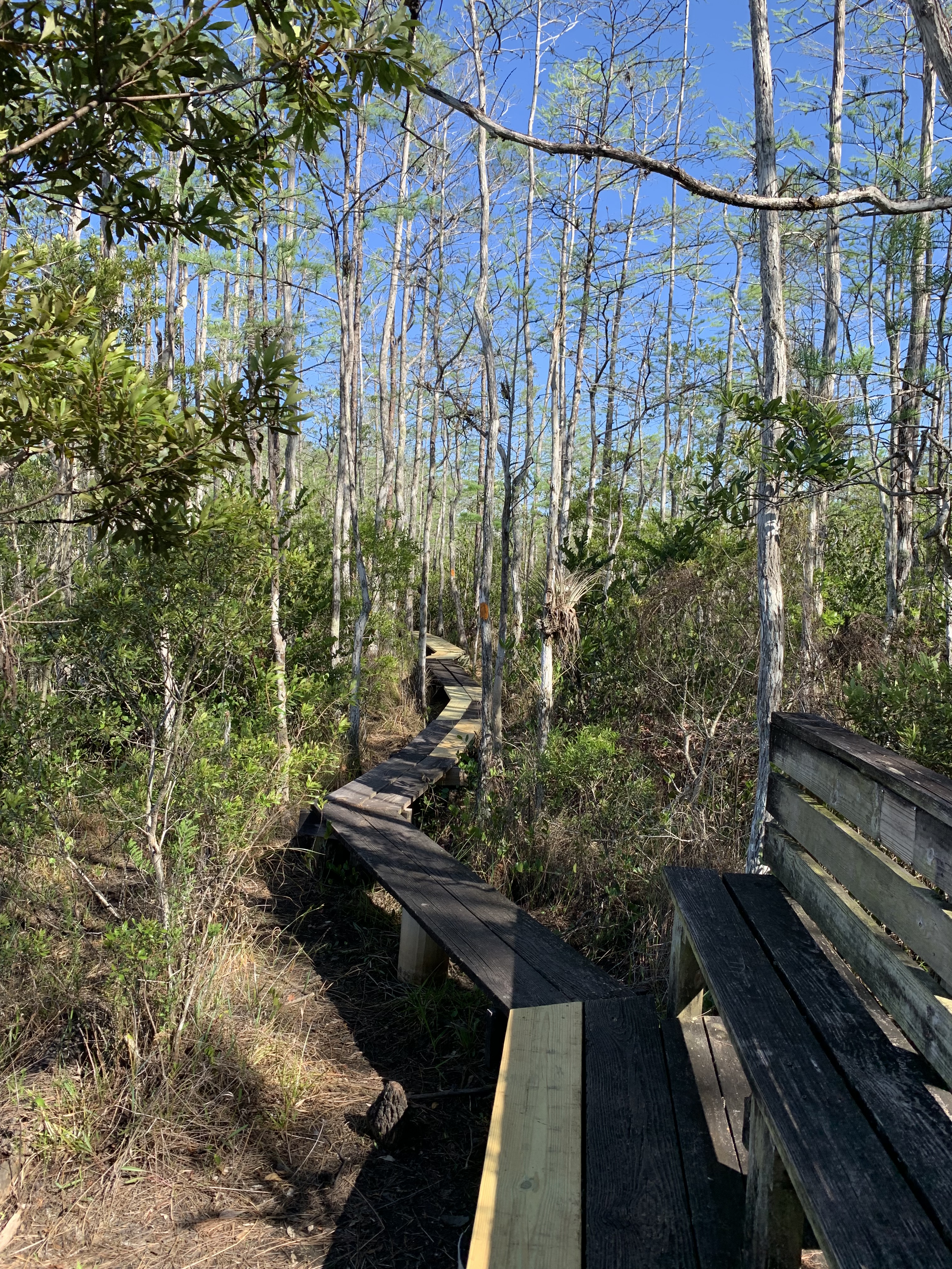
The last day comes all too soon. I weave in and out between forest road and trail in Jonathan Dickinson State Park.
There are boardwalks and bridges, cacti and creative blazing, as I approach the end of the wilderness and cross the threshold back into the world on one last sandy push.
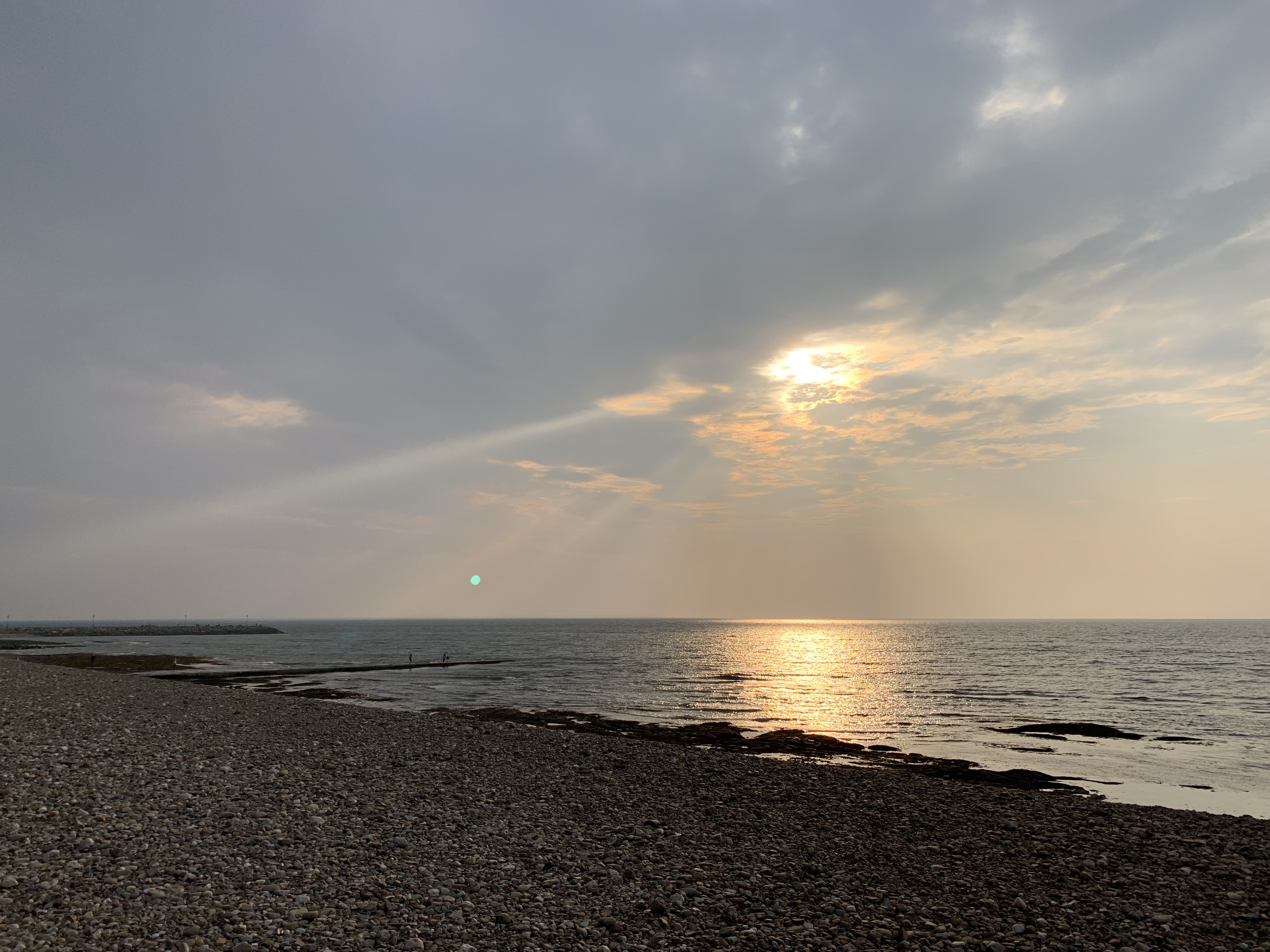
Time to swim.
I dump the pack in my car and race toward the beach. Huge waves smash against the sand, and no one is swimming. Cautiously, I wade out, hoping I’m not breaking some rule.
The water is wild and I time a crest, ducking under at the last minute. The force pulls me under froth and foam. I almost lose my shorts and hope the nice families of Hobe Sound are looking elsewhere. For a brief second, I wonder if I’ll be pulled out to sea, but I stagger to my feet, laughing, baptized, fully alive.
Driving home is uneventful. I’m tired, of course, and footsore.
But infinitely grateful that there is a trail I can retreat to when winter overwhelms, grateful for the wild, grateful there is Someone watching over me through the good and the hard.
Christmas with the littles has come and gone, and the new year now lies latent and watchful with all the things that are meant to be.
We actually had two Christmases this year, as the adult children planned their own plans while the grands relied on their parents’ calendar to observe our dear Savior’s birth.
Finding a day or two when the whole family could be together was tricky, but once we did, it meant that the littlest ones would have to wait days past the 25th to see their uncles (and their uncles’ presents).
In the meantime, I joined them for the bulk of the gifting on Christmas proper and tried to find a day or two to sneak in my final hikes for December.
Waiting continues to challenge me.
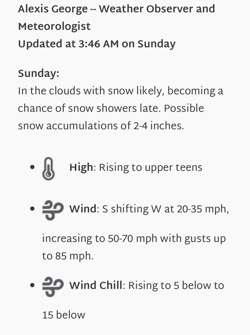
December was a rough month for gridding, as weather and schedule conspired at every turn to prevent even the smallest of windows to get out there. I managed to sneak in a Wednesday Washington/Monroe in the waning weeks, though a terrifying slide down the icy slope of Monroe had me spooked.
I can’t explain how I finally came to a stop, yards away from some nasty rocks, but I did. A miracle.
Was I getting careless? I didn’t think so, but where the ever unpredictability of these mountains confronts my desire to finish, there will always be strain.
It seems that the closer I get to the end (only 15/576 left!), the more that anxiety breaks my crust of calm with its insistent nettling. What are the winds? Is the Hillary Step clear of ice? How high is the water? Will my feet survive the cold?
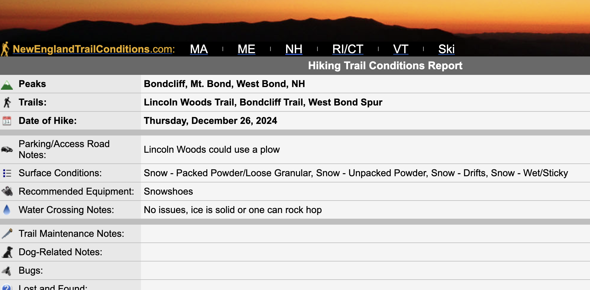
All of these worries came to a head the day after Christmas when I head out for the longest hike of the month, the Bonds, a 22.6 mile round trip. Even toe warmers can’t keep my feet warm, so I shove extra hand warmers down my boots to keep the frostbite away.
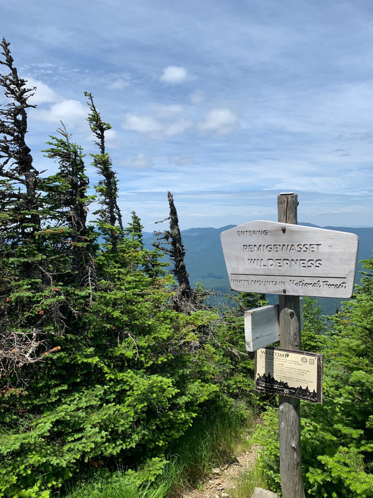
I’m zipping along the first three miles of the well-trodden Lincoln death march, optimistic for the day, when I cross the bridge into the Pemigewasset Wilderness and all tracks end: virgin powder as far ahead as I can see. It’s another 8.5 miles to the turnaround on West Bond, and every step will have to be broken out, alone, by me. Sigh.
Hours pass as I blow through podcasts, water crossings, and hidden holes beneath the snow. I lose another water bottle – when will I learn to secure them?! – and gamble that I’ll have enough left in my dwindling supply, or find the dropped one on the way back.
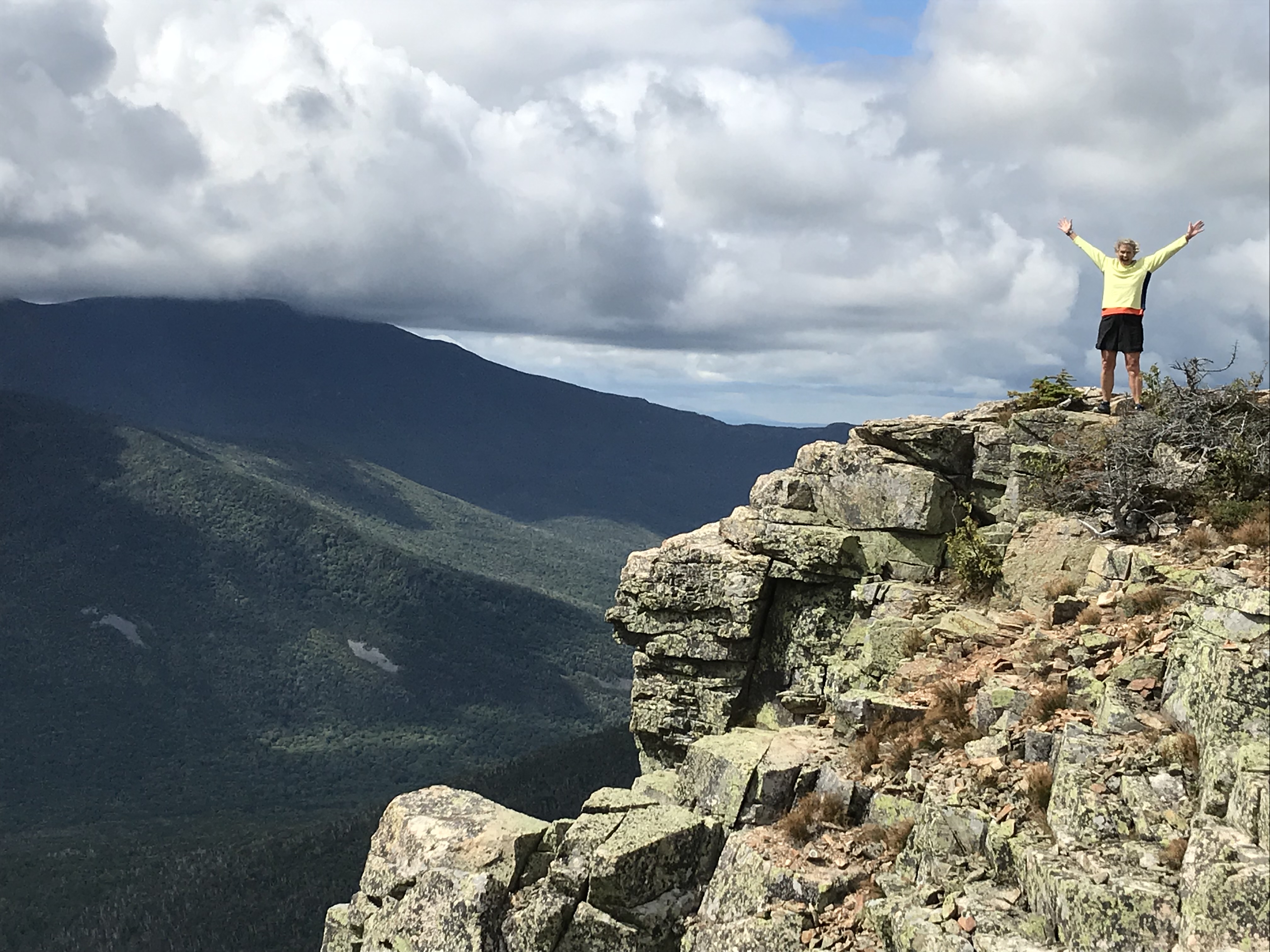
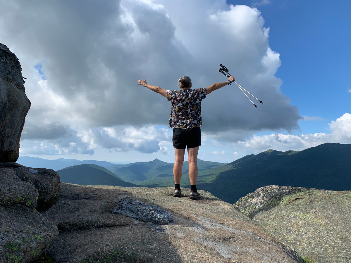
On top of Bondcliff, the drifts hit thigh height in places, each step a quagmire. I seriously consider quitting, waiting another year, saying the heck with it ALL and turning around. I’m too angry to pray, too stubborn to stop. Eight hours after leaving the parking lot, I finally summit West Bond, 1:30 in the afternoon, and snap the only picture of the day, a false smile belying the exhaustion I feel at having to follow my footsteps back to the car.
Back in the woods, more miracles: a woman approaching, tromping down the trail with her snowshoes. We stop to chat and I ask if she’s seen my bottle. No, but she offers me enough of her own water, and I can’t believe her kindness. Later, after crossing one of the streams, I look down and see the top of my errant Nalgene sticking out of the snow. Hurray! I guzzle most of what’s left.
Darkness drops, hours pass. I’m soaked and shivering when I finally reach the car, and not even a hot bath at home can chase away the lingering chill.
I’d love to celebrate, but all day long, I’ve had to force myself to not think of the next day, what looks like the only safe opening left in December, when I’ll need to do Jefferson to Grid out the month.
Nothing I can do but give myself a fighting chance. I drape wet gear over radiators, turn up the heat. Open my computer to submit a trip report. I consider writing: Broke out the Bonds. That’s all I have to say about that.
But I feel a duty to this community. I drink in these reports like my first waking hit of joe, and details are critical to someone trying to make an informed decision. It’s after 11 when I collapse into bed.
This wasn’t how I pictured things going when I started Gridding, years ago. I honestly need something to change my perspective, to look ahead with hope and not dread.
I think of the littles as they waited for their presents. Early opening was not allowed, and they returned again and again to the pile beneath the tree to look and long. When the morning finally comes, there are tears as each one jostles to be the next. Some gifts exceed expectations, others most decidedly do not (in their defense, socks).
Are the mountains like that? This crazy Grid? I look and look at the list left, imagine what each peak will be, and am crushed when it turns into torture instead of glee.
One of my favorite Psalms is 126. Perhaps it’s because its subtitle reads ” A Song of Ascent” – what better name for a girl who climbs?
I love Psalm 126 because it attempts to explain that tension between elation and despair:
Those who sow with tears will reap with songs of joy. Those who go out weeping, carrying seed to sow, will return with songs of joy, carrying sheaves with them (Psalm 126:5-6).
A podcast I listen to about this Psalm posits that it’s actually the tears that water the seeds. No sorrow, no sheaves. And this is exactly what happens, that next day, when I wake up and head out with the soreness and suffering of the Bonds behind me.
Jefferson is brilliant. There are people everywhere, a well trod trail, sunshine. It is the best gift of the season, to have conditions as perfect and energy left to spare, to summit with a smile sincere.
Another miracle.
It’s one to keep going, despite those I have left.
Does He not see all my ways, count all my steps? (Job 31:4)
You never know what miracle might lay behind the next turn. A heap of presents, maybe socks. Either way, it’s much too early to quit.
What does 2025 hold? I’m not sure, but it’s likely I haven’t seen the last of tears.
But I’m grateful, confident, that the One who knows will, if I let Him, turn all of them to grain.
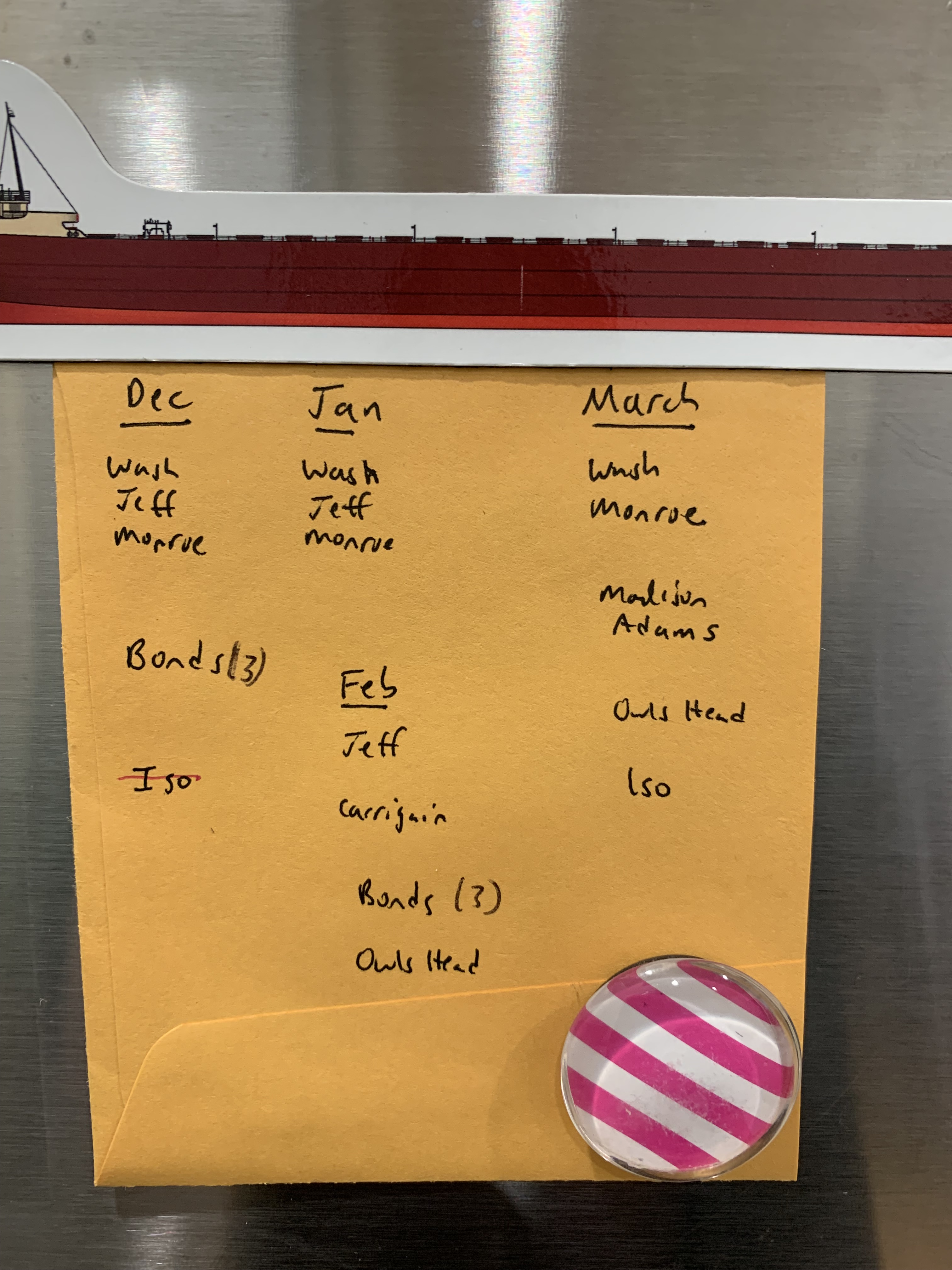
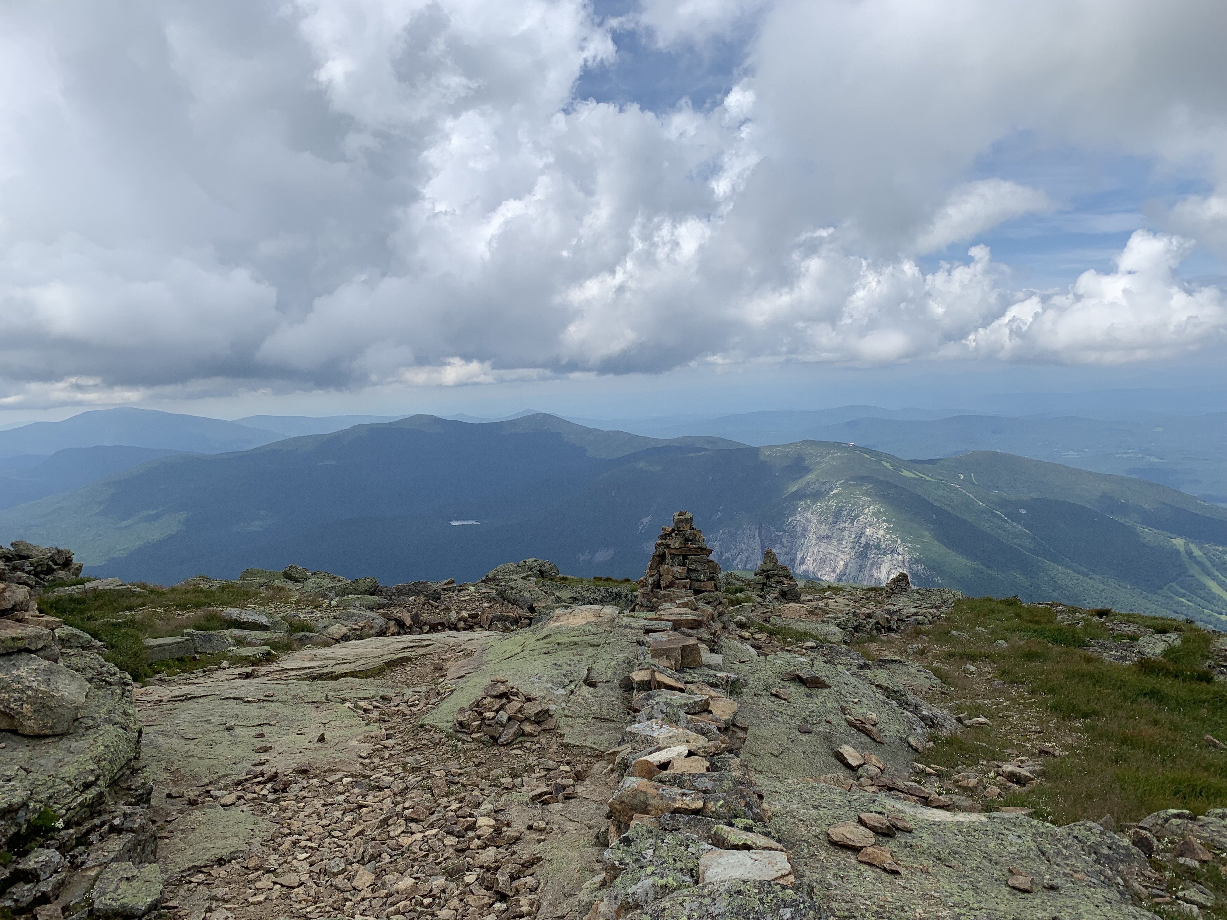
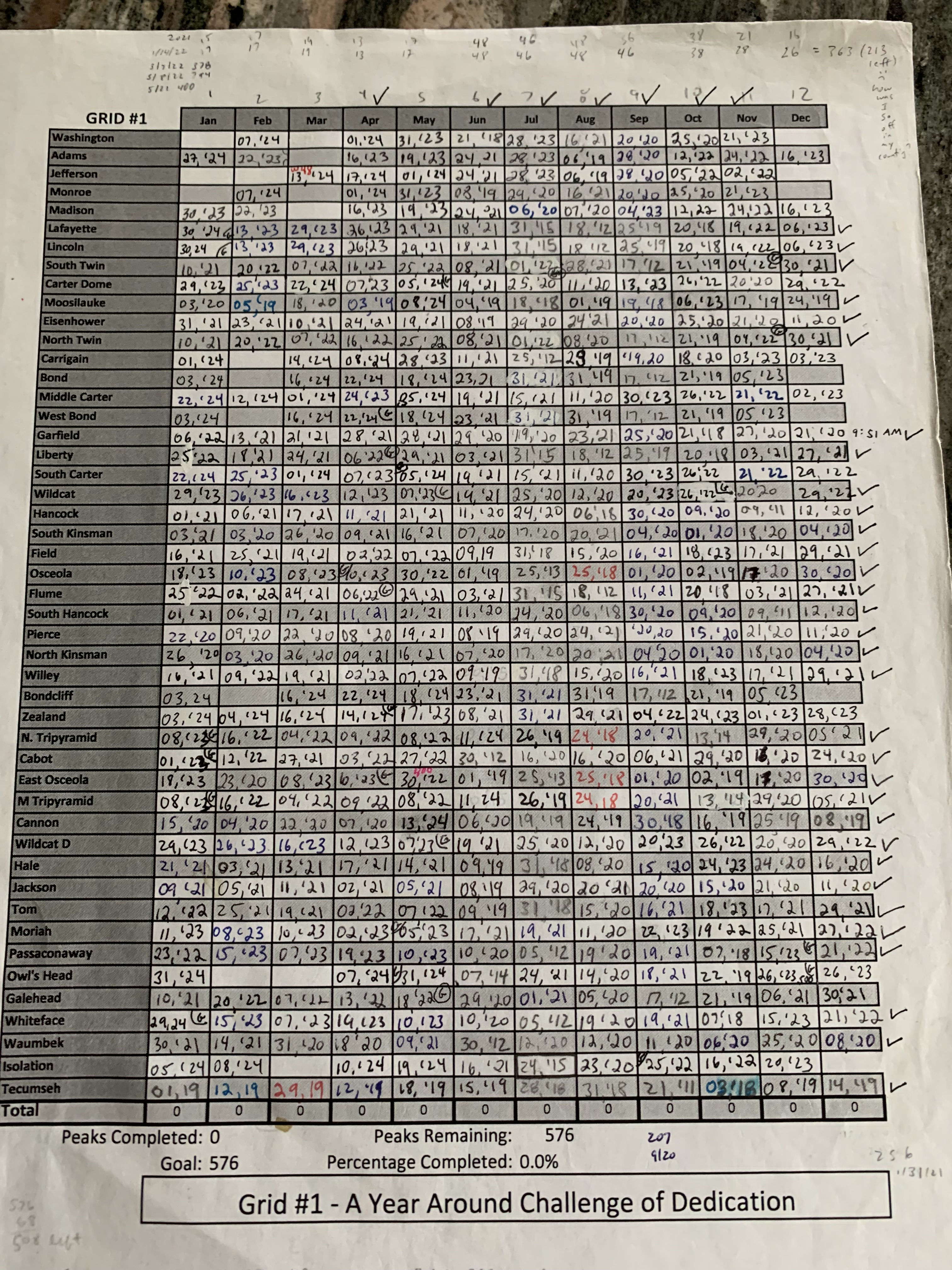
Stalled since last March in trying to finish off a New Hampshire Grid – all 48 4,000′ peaks in every calendar month – I couldn’t wait for December to come, to start checking off the last 22 of 576 summits.
The list has hung on my fridge for the last nine months, alternately inspiring and scaring me right down to my core. Having finished April, May, June, July, August, September, October, and November – months when weather is fairer and hikes are more agreeable than not – I was eager to be out the door on December 1 to tackle Isolation.
A query I posted on a hiking forum looking for company elicited only laughing emojis – recent snowfall and single digit predicted windchill on a Sunday was not as alluring as I had hoped, even for fellow “Gridiots.”
Isolation is one of those peaks people either love or hate: remote (as its name suggests) with either multiple water crossings or off-trail bushwhacks, depending on how you approach it. Long stretches of the established trail run over active water flow, making for soggy feet no matter how you slice it.
The problem with the mountains I have left is that they are ALL, in some way, as tricky as Iso. The Bond traverse is a 22-mile out-back. Due to winter forest road closures, Carrigain requires a 3-mile road walk just to get to the trail head. Even following herd paths, one can’t avoid three major water crossings on Owls Head, and the Madison/Adams combo is steep and often ridiculously icy. As for Monroe, Jefferson, and Washington – who in New England doesn’t know about the “worst weather in the world,” which pummels these three presidents with triple-digit wind gusts and frequent avalanche warnings?
As much as I want to finish, I also don’t want to die. Or worse, call SAR.
So I suppose I shouldn’t have been surprised that my Iso bid the first day back Gridding took me 10.5 hours to cover 11.5 miles. Six inches of new powder covered the established trail, every other tree was a blow-down (okay, I’m exaggerating – let’s just agree there were a lot), and it was COLD. So cold.
Other things happened.
Two water bottles were lost navigating downed trees in-over-and-through, and when I finished the dregs of #3, I was forced to choose between dry hours of hiking or taking a chance on a swift-running stream. The stream won, but so did giardia, which hit like a vengeance some days later. Let’s just say this parasite is not user friendly.
Help. Me.
There was bruising. My phone drops in the snow as I lose the trail and try to find my way back. I go through two sets of mittens, hats, and down hoodies. I don’t want to expose my hands for too long, so I barely eat, which makes me, fuel-less, even slower to finish the last miles in the dark.
All to check off one peak.
Where was the wonder, the joy I felt, in the months previous, walking where and when I wanted? Turning around before a summit if the conditions were not to my liking?
The problem with lists is that, well, they’re a list. Restrictive. Confining. Vexatious.
December has me spooked, and it’s not even officially “winter” yet.
I am writing this now having decided not to hike today.
I had packed for the Bonds and was watching the weather, but new snow and 70 mph winds had me cancelling the early alarm. I want to be prepared, to minimize the risk, to always carry more than I need, but even all that was not enough. And it seems the more I sit, the more fitness I lose, and the less I want to go out there again.
Two good days. That’s all I need to Grid out December.
One word. It’s been everywhere, every morning, as I sit at my desk and watch the clouds pink over the school that I love, reading and journaling and praying needs.
Trust.
I cannot control the weather or my schedule or even how I will feel on any given day. This week, I will turn 62, and that is a long time for legs to live. I’m grateful for every single one (years, not legs, though I am grateful for those, as well).
At his last meal, Jesus told His disciples that in this world they would have trouble, but to be of good cheer (John 16:33).
Be of good cheer, child.
You may finish Gridding December – and January, February, March – you may not.
I woke up on the Fourth of July 20 miles from the small community of Waterville Valley. It had taken me five and a half days (see previous post) to travel 130 miles over 22 of the 48 4,000 footers, and I was hoping to finish the remaining 26 in about the same timeframe.
Though the morning was cool, it soon morphed into typical New England Fourth weather – hazy, humid, and hot hot hot. Luckily, the peaks ahead – Passaconaway, Whiteface, and the Tripyramids – were in the trees, their shady summits nothing but cairns in the woods.
As I hustled along, passing scores of hikers out enjoying the day off, I texted updates to a friend who lived in the valley. When I knew I would be stopping in Waterville Valley to resupply for the second half of the Direttissima, I had hoped to grab a coffee or beer with fellow outdoor enthusiast Jen and her husband Rick.
For years, we had been crazy hockey parents together and had bonded over tournaments and cookouts and long drives to cold rinks, cars filled with smelly gear and happy kids. When their nest had emptied, as mine had, they wisely relocated to Waterville Valley which sported, not surprisingly, a rink of its own.
I practically run the final stretch of the day, a rutted forest road ending in a gravel lot a few miles from their condo. Jen didn’t mind a sweaty hiker hug, nor my muddy pack in her car. What I thought would be a quick visit turned into an overnight complete with the only opportunity on the trip to do laundry and fireworks from the town square. Well, I wasn’t actually able to stay awake for the show, but I did catch the initial bursts as I begged off early and walked home.
It seemed like every time I approached discouragement, something good and novel would occur to help keep me going. Jen and Rick were those beautiful somethings, and I couldn’t have been more grateful for their kind care.
It took all the willpower I had to walk the hot streets out of town the next day, up the access road to the WV ski resort and the trailhead to Tecumseh.
Though shortest in elevation of the 48, Tecumseh makes up for its deficiency with hundreds of stone steps leading precipitously to its summit loop.
I hadn’t visited Tecumseh in years, as it had been the first peak I had Gridded out, but I marveled afresh at all the intricate trail work and the piney softness of the footpath off the back side.
A short road walk up Tripoli Road led me to last peaks of the day, the Osceolas. Brilliant clouds scuttled in on a salty wind atop Osceola, plunging temps as a lone crow and I shivered through a quick snack.
Then it was long descent back down to the Kanc and a tiny tent site as night reclaimed the forest.
Day 8 – .2 south of Oliverian Brook trailhead to Waterville Valley: 20.1 miles
Peaks: Passaconaway, Whiteface, Middle Tripyramid, North Tripyramid
Day 9 – Waterville Valley to .9 south of Greeley Ponds trailhead: 15.3 miles
Peaks: Tecumseh, Osceola, East Osceola
Storms
Because cell service would be scant the next few days as I circumnavigated the Pemigewasset Wilderness, I had taken screenshots of the weather predictions.
It didn’t look good for being above treeline – thunderstorms and heavy rain, with few places to bail out should things get dicey.
Nothing I could do about it, so it was another short road walk to the Hancock trailhead as rain started to fall.
I didn’t even bother with my rain jacket for the quick out-back around the Hancocks loop, skittering over wet rocks and back down to the Cedar Brook Trail, a remote marshy connector leading to my biggest ford of the trip, the East Branch of the Pemi River.
Fortunately, the rain let up as I bushwhacked down to its bank, took off my shoes, and waded in.
Thankfully, it wasn’t nearly as deep as I thought it might be; after a quick lunch on a smooth stone, a short bushy whack up the opposite bank led to the Bondcliff Trail.
I really, really, really didn’t want to get stuck on top of the Bonds in an afternoon thunderstorm, so I was pretty discouraged when it began to pour just south of Bondcliff.
However, when I finally reached the Hillary Step, a steep face just below treeline, the skies cleared and I was rewarded with a dramatic view of tomorrow’s goal, Owl’s Head, sitting pretty in the middle of all that wild.
The rain held off over Bond and West Bond. I had planned on staying at the Guyot Campsite, but a stealth site appeared just before the spur trail, so I dropped my gear to stake a claim. Unfortunately, I was out of water and had to climb 500 stairs (yes, I counted them) down to the water source, then 500 back up to my spot. Needless to say, after walking some 21 miles over the last 14 hours, I was not in the head space to admire the intricate trail work.
That night, another storm hit, soaking everything not floating on my sleeping pad island.
Day 10 – .9 south of Greeley Ponds trailhead to .1 south of Guyot Campsite: 21.3 miles
Peaks: Hancock, South Hancock, Bondcliff, Bond, West Bond
They Say Suffering Produces Perseverance
Every long distance trail or route has its own unique challenges. For me, the Appalachian Trail was an exercise in shere willpower, the constant mileage and privation doing battle with the desire to finish. On the Northville Placid Trail, the insect assaults were relentless. Swamps and slime are everyday obstacles on the Florida Trail, and the language barrier coupled with jockeying for a spot every night in the albergues were tricky on the Camino de Santiago.
I was finding that my biggest stress on the Direttissima was figuring out where to tent every night. So much of the route traversed ridgelines where it was illegal or unwise to camp. This resulted in much longer daily mileage or compromising on comfort or safety.
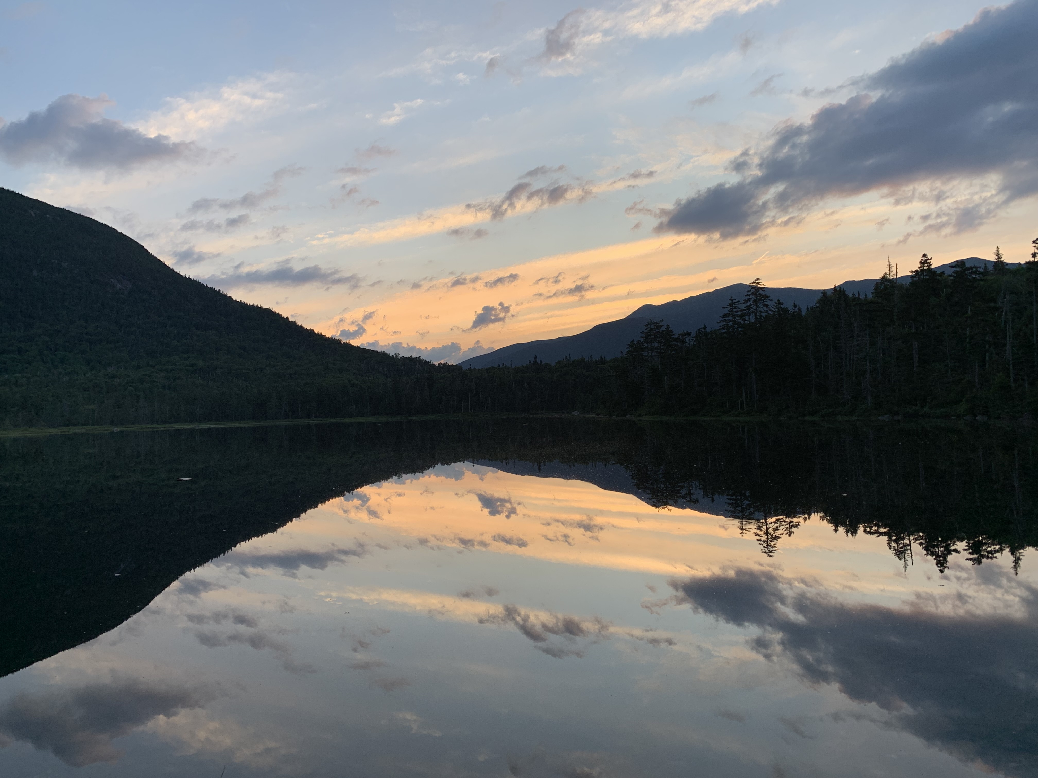
I had 5 peaks to cover the day after the Bonds and was looking forward to finally tenting at an established campground, 13 Falls, deep in the heart of the Pemigewasset Wilderness.
Rock and cloud were ablaze on the way over to Zealand, my first out-back of the day.
Next it was South Twin, a North Twin out-back, and lunch and a gear-drying session at Galehead Hut.
Galehead was another short out-back, then it was down into the bowl to drop my stuff at 13 Falls for a nine mile out-back to Owl’s Head.
I would have preferred to set up my tent before heading out but couldn’t because my Gossamer Gear “The One” used trekking poles as supports. Instead, I staked down the corners and stuffed everything inside but snacks, water, and my Garmin inReach, the gray lump looking like a stuffed python. I’ll be back.
It came as no surprise that the trail out to Owl’s Head was wet and overgrown, oftentimes traveling right up a flowing stream. It was quiet; I imagined myself so late on a Sunday the only one in the whole expanse.
IYKYK
The Owl’s Head slide was dry from the blazing sun, scree and slab hot to the touch. Sun sifted through branch on the flat to the finish. Tag, turn around.
I couldn’t have been more surprised when, on the way back to 13 Falls, a voice called out from up ahead, “What!? Another person!?”
Ha. My thoughts exactly as a trail runner came into view. We compared notes on the craziness of an Owl’s Head pursuit, whether a summit or a circle around. Another unexpected phenomenon to distract my tired body and brain as I raced the dark back to my python.
If suffering did indeed produce perseverance, I was all in.
Day 11: .1 south of Guyot Campsite to 13 Falls Tentsite: 21.6 miles
Peaks: Zealand, South Twin, North Twin, Galehead, Owl’s Head
Spa Day
Although I was happy to be tenting at an established site, it meant I had to walk extra steps back to the cooking area/bear box from my tent platform once I arrived.
I forced myself to eat a hot supper, though well after 9:00. While sipping steamy noodles, I decided to make the next day an easy one. Let up on the miles, tent early, linger on familiar peaks. Call it a Spa Day.
Spa Day began the following morning when my alarm did not go off at 4:04 AM like it usually did. I woke up naturally, sometime around 5, packed up at a leisurely pace and ate a slow breakfast while tending to my sore muscles and feet. Arnica and Leukotape liberally applied, I brewed a second cup of joe for the road, stopping to check the weather posted at the caretaker’s station.
Barnacles.
The next 40 miles or so were largely above treeline, and more storms were on their way; timing over the next 48 hours would be critical.
So much for Spa Day.
At least most of the remaining mileage would be on my old friend the Appalachian Trail, memories fair and foul around every turn.
Like the murderous tree I had tried to use back on my 2010 thru-hike to lower myself down a steep watery section below Garfield; instead, fingers slipped and I tumbled backwards. Thanks a lot, tree.
Garfield always reminded me of my first overnight hike with my two youngest boys, a much happier happenstance.
Out of cell range, I hadn’t been able to open a book on Libby or download any recent podcasts. Music served instead, but a song shuffles in like a plank to the gut.
Like memories that won’t let go, I’m out here trying to get all untangled…
I’ve always felt close in these mountains to the son we lost, but, ambushed, his song leaves me choked. I try to sing along, let the face leak, let the feet find their own way.
He always hated hiking anyway, that one.
After a long climb, I gain the ridge. Lafayette is packed on this – what day is it again? I find a spot away from the crowds, not trusting myself to speak, and take stock of the predicted weather.
I’d need to cross the ridge, do a Flume out-back, and get close to Cannon if I hoped to avoid the notoriously steep and slippery Beaver Brook Trail the following day in the rain. Game on.
At last, I touch Liberty, the final summit of the day, and book it down to the highway below.
No trail magic under the 93 bridge, another AT memory, so it’s a race to reach a woody spot for the night, the closest thing to a spa all day.
Day 12 – 13 Falls Tentsite to .6 south of Lonesome Lake Hut: 18 miles
I’m up early the next day to breakfast outside the Lonesome Lake Hut before the last out-back of the trip, Cannon.
Punchy, I have the viewing platform all to myself. It almost feels like I’m done.
I make the questionable decision to head to the Kinsmans across “The Cannonballs.” Those series of sinister humps come by their name honestly.
White-knuckling it down the boulder pile on the other side of South Kinsman, I’m thankful the storms have held off. It takes the rest of the day to get down to the Kanc, where I gobble down a tuna packet and ditch my trash in the Beaver Brook parking lot, mentally preparing for the next vertical 1.5. I’m nearly out of food, battery life, and patience.
Beaver Brook will be my only shelter stay of the trip, and I’m looking forward to keeping stuff dry should the rain make an appearance. I’m crushed when a woman coming down tells me the place is crawling with boy scouts.
“Good luck!” her son shout ominously as he slides by.
Sure enough, the shelter is filled to capacity, and we’re woken several times during the night by a scout throwing up.
4:04 wakeup it is.
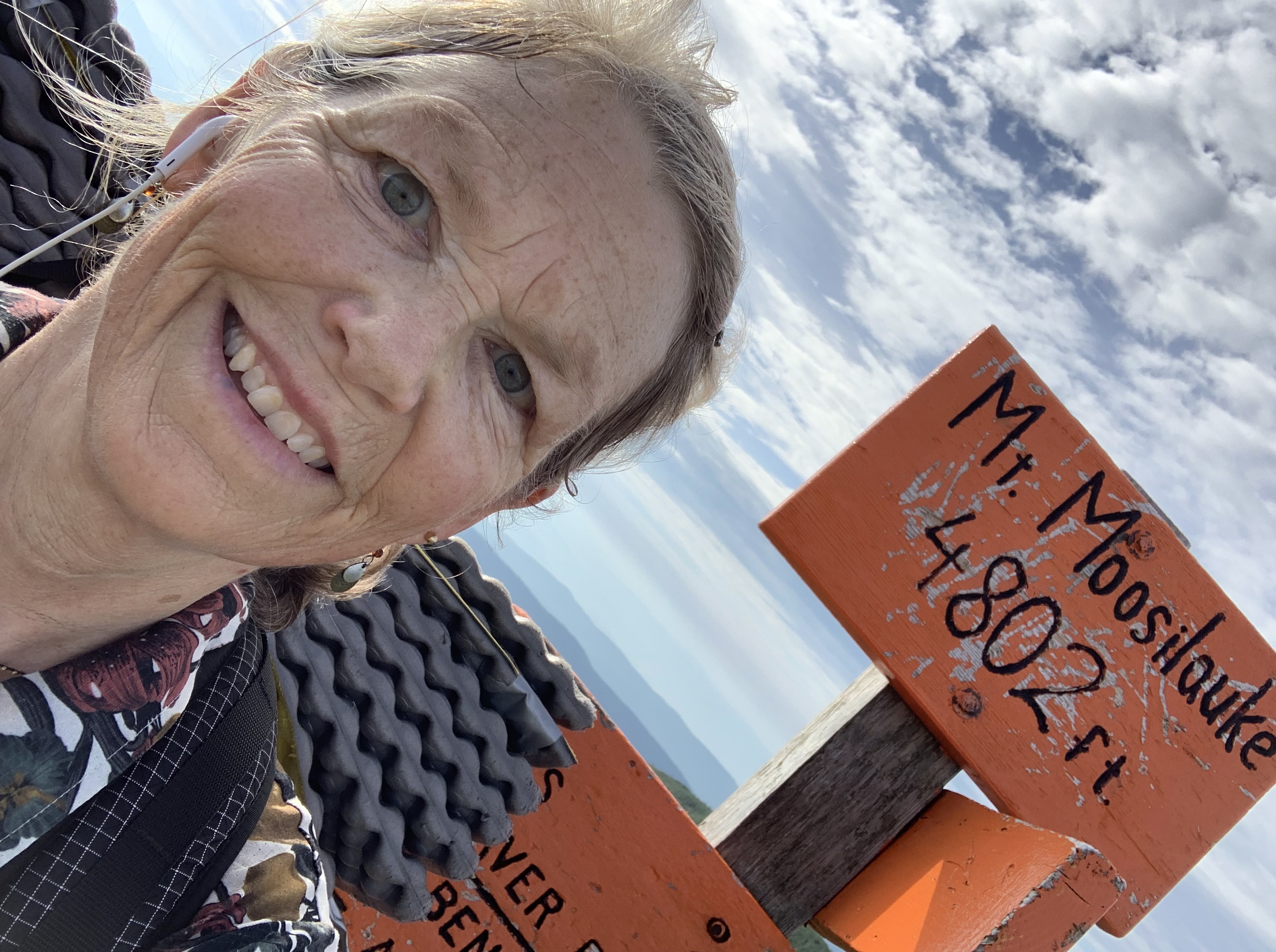
The weather holds for the Moosilauke summit, my fave. First to arrive, I have time to process this long crazy escapade.
The Direttissima has humbled me in ways I never anticipated.
By far, it ranks as the hardest hike I have ever done. The punishing elevation, rocky footbeds, and stress of the storms beat me up body and soul. Every precious moment had to be earned, but I suppose that is what made it so dear.
And I wasn’t yet done. To finish, I had to make it down to the trailhead which, for once, was a pleasant (mostly) dirt downhill.
Day 13 – .6 south of Lonesome Lake Hut to Beaver Brook Shelter: 18.8 miles
Peaks: Cannon, North Kinsman, South Kinsman
Day 14 – Beaver Brook Shelter to Glencliff Trailhead (finished 10:16 AM; 12 days, 22 hours, 16 minutes; 249.2 total miles; lost 7 pounds): 6.2 miles
Peak: Moosilauke
Walking Home
I say goodbye to the White Mountain maps of the FarOut app and hustle on to the Hikers Welcome Hostel as the skies finally explode.
I grab the package I’ve mailed myself, food for the final miles home, eat a whole pizza, and drink two Dr. Peppers while waiting out the lightning.
Unfortunately, the food I packed isn’t enough, and I’m down to 2 Liquid IV’s and a snack bag of chips when I pop out the following afternoon at the Smarts Mountain trailhead. It’s been a dicey trip down, slick slabs forcing me at times to scootch on my bottom.
I’m starving.
In the lot, a trail angel has left a case of water. Good start.
Next, two thru-hikers arrive who have been slackpacking the whole AT. The trail does indeed provide. Boomer and Quirk ply me with snacks galore from the back of their Jeep, and I’m ready for the 11 mile road walk to my front door.
The last miracle of the trip is walking by the Dartmouth Skiway base lodge and discover I’m on their WiFi.
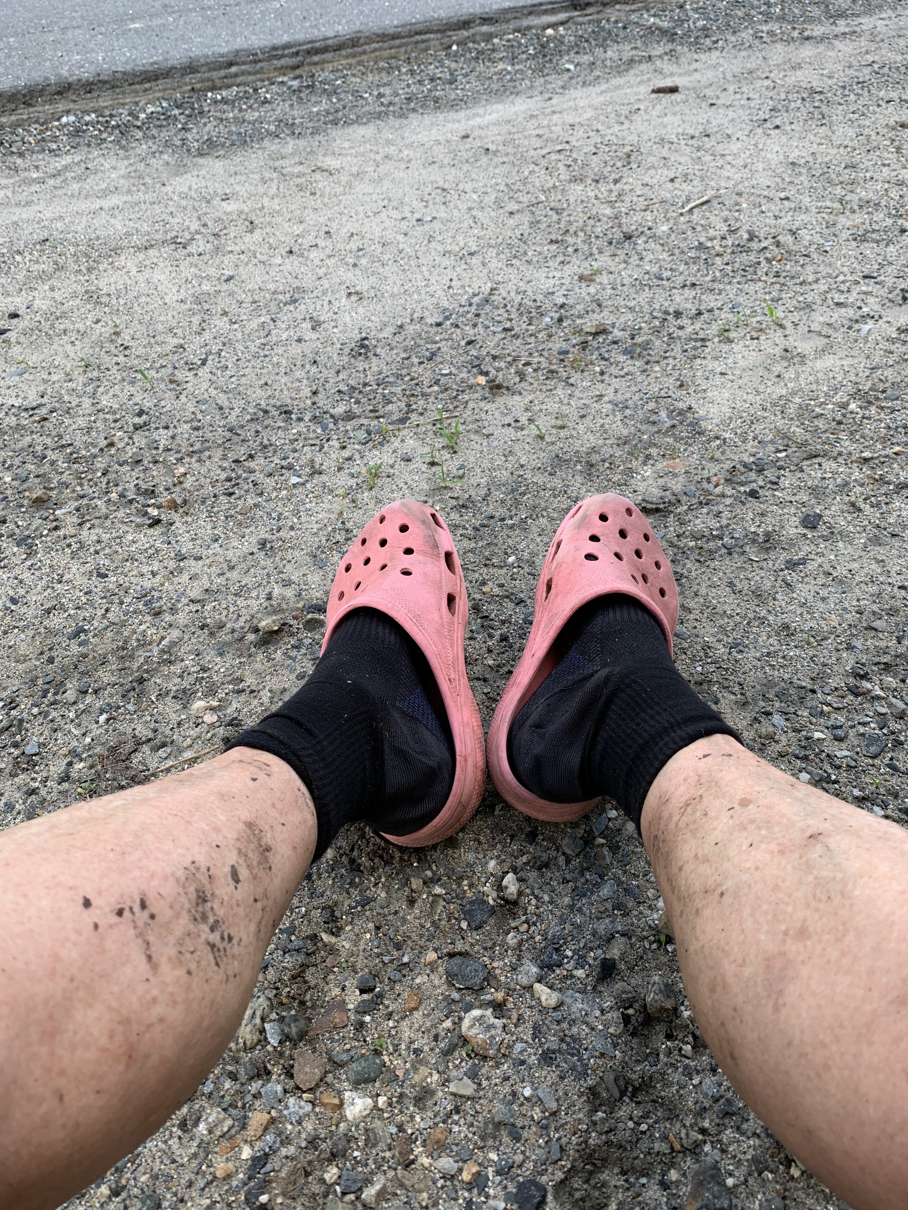
Finally able to open Brianna Madia’s Nowhere for Very Long, it’s an apt listen as I change into crocs and walk the afternoon home.
Air conditioning, water on demand, chairs.
Home.
All the sweeter for having been gone.
Bonus miles: Glencliff Trailhead to 1 mile north of Cube: 13.5 miles
The White Mountain Direttissima is an ambitious route that seeks to connect the 48 New Hampshire 4,000′ peaks in one continuous thru-hike. Although the exact number of hikers who have completed this route is unknown, it is estimated to be few, particularly for women.
I had been toying with the idea of attempting a Direttissima for a while, and decided that this summer would be a good time to stick close to home and replace some of the older peaks I have listed on my Grid with some more recent ones for June and July.
The length of the Direttissima varies depending on how one decides to connect trailheads, ridges, and peaks; bushwhacks might shave off mileage but add difficulty, and other shortcuts – like walking under power lines, for example – could be overgrown and tangled mid-summer.
I decide to stick to established trails and roads using a route shared with me by Philip Carcia, who has completed the Direttissima five times. Philip is an all-around kind and generous human who continues to set records and establish precedents in the Whites, inspiring many to test their own limits.
As an added challenge, I decide to do the route north-to-south, finishing at the Mt. Moosilauke trailhead, then walk an additional 30 miles or so, on trail and back roads, to my front door. Over the course of the next two weeks, I would gain 80,000 feet of elevation over 285 miles. Let the fun begin.
The Meaning of Dire
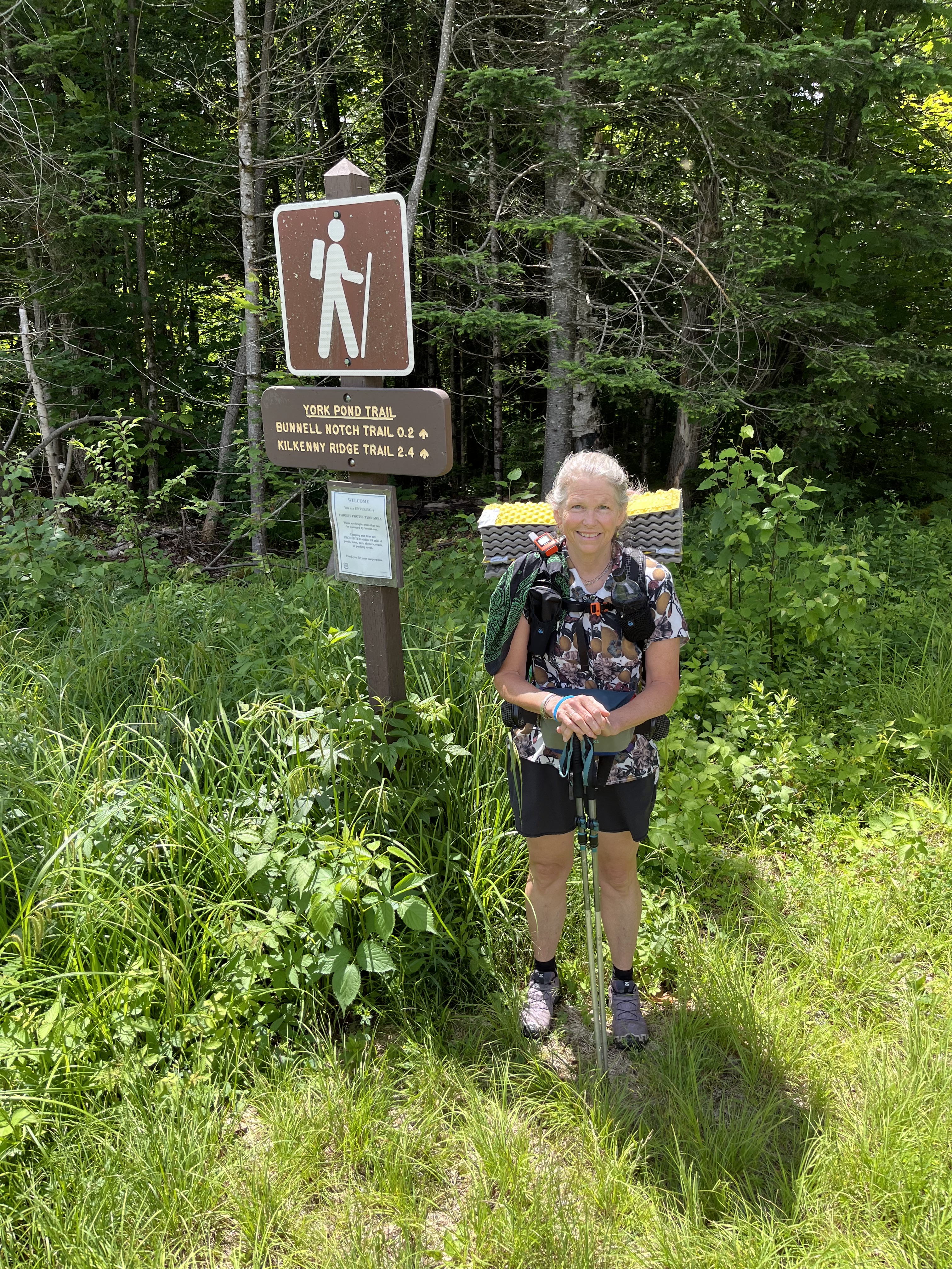
On Thursday, June 27, the youngest and I drive north to Milan, New Hampshire, where he drops me off at the York Pond Trail parking lot. It’s a few minutes before noon, already steamy, but optimism carries me away from the air-conditioned comfort of his truck and up the familiar path toward my first 4,000 footer, Mt. Cabot.
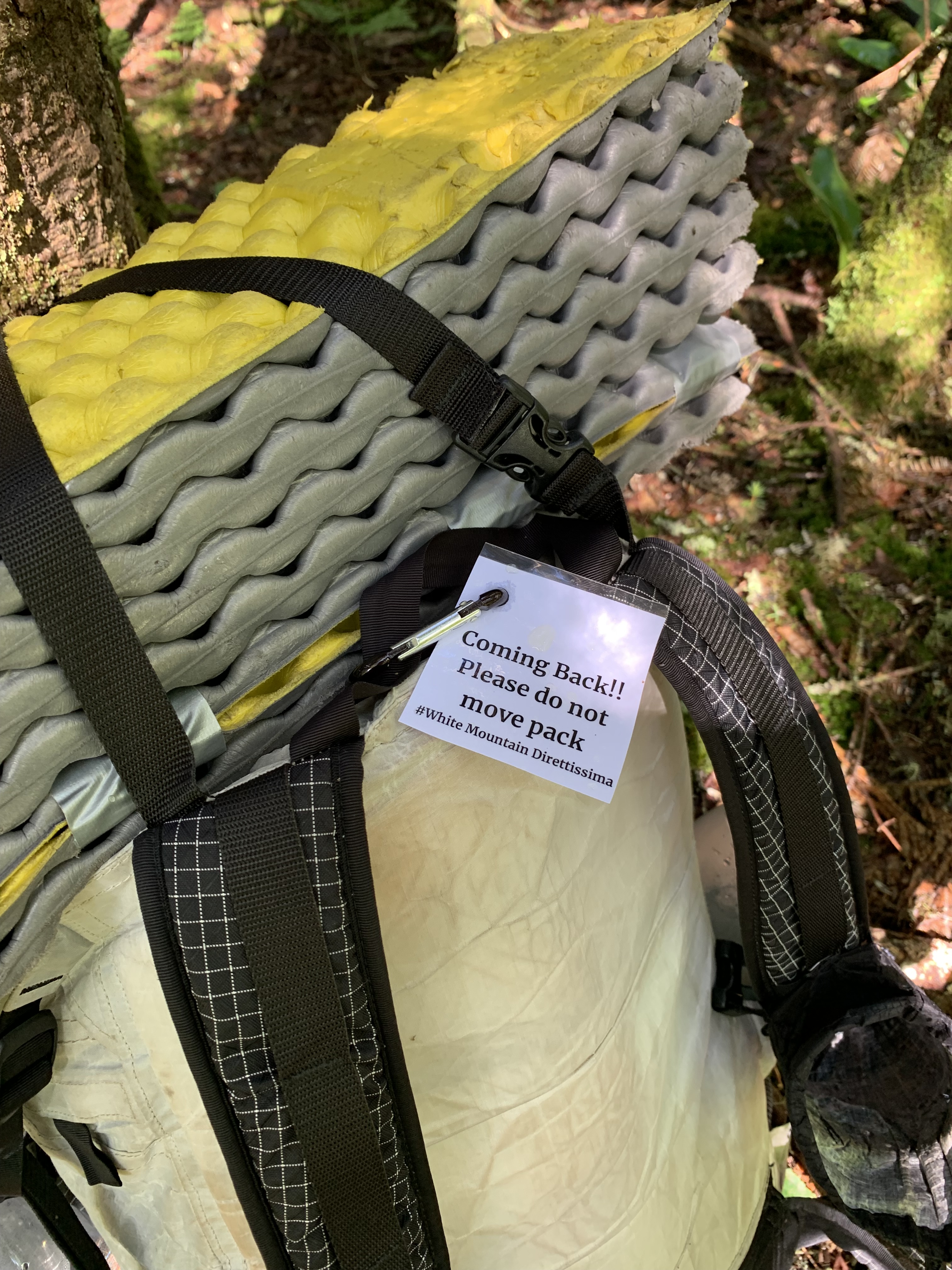
Cabot will be an out-back; that is, at the junction of Bunnell Notch and Kilkenny Ridge Trails, I need to climb 1.7 miles to the summit of Cabot, then retrace my steps back to the junction. This will be the first of many of these out-backs, and I’m grateful for Philip’s advice to drop my full pack and carry only water and a few essentials to the top.
I had a little too much time on my hands in the days leading up to this endeavor and have crafted a small tag to display on my pack when I must leave it behind. The last thing I want is for someone to think a hiker is in distress when encountering my unaccompanied stuff in the woods. Plus laminators are cool.
Small tag aside, my pack is ridiculously heavy. Four days of food and two and a half liters of water is a lot, but much of this route is in remote wilderness areas with few options to resupply; additionally, water sources are not always conveniently located. They say you carry your fears.
I soon touch toes to the first of many summit cairns, hustle back to the ball and chain, and head out across Kilkenny Ridge.
It soon becomes clear that I will not be making the kind of time I am accustomed to making in these mountains. The ridge is rocky, overgrown with Jurassic ferns: brutal but beautiful. It’s only the first day and the itinerary I set for myself must be scrapped. Although the translation of Direttissima is something like “most direct route,” I list the synonyms for dire in my head as I crawl along.
Dreadful. Appalling. Woeful. Grievous.
Soon it’s time for me to play the game of how-long-can-I-get-by-without-a-headlamp, discovering when I finally pull it out that the batteries are dead.
Idiot!
Didn’t check before I left, but luckily I have spares. It’s close to 9 PM when I finally find a spot to set up camp, a bare patch pitched at a crazy angle and exposed to the full brunt of the wind. But I’m too tired, too sore to complain.
Day 1 – York Pond Trailhead to .1 north of Waumbek (noonish start): 15.5 miles
Peak: Cabot
Not Quitting
I awake to frost on my tent. Wrapping myself in every stitch of clothing I have with me, I walk the .1 to Mt. Waumbek. My brain must not have been working the night before. I had the FarOut app, which would have told me the summit was just ahead, and I knew there was a larger, flatter, more protected space to camp there. Sigh.
But down below in Jefferson is a country store with a grill and hot coffee. I float along, dreaming of bacon. Unfortunately, the grill is closed for some reason, so I grab a muffin and the coffee, charge my devices, and head out on the longest road walk of the trip.
It is twelve miles to the Caps Ridge trailhead, and I shed layers as the sun rises and the pavement warms. Caps Ridge, leading up to the summit of Mt. Jefferson, is one of my favorite trails in the Whites. Both hands are feet are needed to scramble the 2.5 miles, so when I arrive at the parking lot sweating sunscreen, a nap seems like a good idea. I burrito myself in my tent to keep away the bugs.
Caps with a full pack is tricky, but up and over I go without incident and head across to Adams with the goal of eating dinner at Madison Spring Hut. After choking down a full package of instant mashed potatoes (why didn’t I split it up into more manageable portions?!), the last peak of the day is Madison, where the torture begins in earnest.
Many of the trails linking ridgelines on the Direttissima are lightly used, unpopular for a reason. The Daniel Webster Scout Trail is rocky, steep and overgrown; I cut my knee and hand, whimper, stagger, and pray in the waning light. My topo map suggests a flat that never materializes, so at 10 PM – and I’m not proud to admit this – I tent right on that rarely used trail on the only level spot I have seen in miles. Doubt creeps in: can I keep this up for another 200+ miles?
Of course, everything appears better in the morning, with coffee and perspective.
At the bottom of the trail, the next road walk takes me across to the Carter-Moriah ridgeline, another of my favorites. What I haven’t remembered is the cliff that must be scaled to ascend North Carter, every turn in the trail revealing another pitch. It starts to rain, then pour, then lightning and thunder.
My hands are so cold that I worry if I keep going to my goal for the day – somewhere close to Wildcat – I won’t have the dexterity to pitch my tent. Like a miracle, a tent site appears just north of South Carter, and I bail out at 5:00 like a beaten dog.
My weather app predicts “tornadic activity” and triple digit winds across the way on Washington; even in my protected col, the fabric above my head whips and snaps all night. I’m soaked, miserable, deep in despair.
Do I call the youngest? Hike out, have him come pick me up tomorrow? Is quitting even an option?
Morning optimism again wins the day. Everything wet gets stuffed willy-nilly into my pack, and I set a goal to reach the AMC Pinkham Notch Lodge, where drying out and perhaps even a room are an option.
When I arrive, after cruising down the Wildcat D ski slope, I decide to be kind to myself. The room is overpriced, the included dinner barely edible, but dry gear and a night in a bed have set me up to tackle remote Isolation and behemoth Washington the next day.
In 24 hours, I have gone from thinking I’ll die of exposure to sleeping safe in crisp sheets. Such is the unpredictability of this route.
Day 2 – .1 north of Waumbek to 2.7 north of Dolly Copp Campground: 23.5 miles
Peaks: Waumbek, Jefferson, Adams, Madison
Day 3 – 2.7 north of Dolly Copp to .3 north of South Carter: 15.3 miles
Peaks: Moriah, Middle Carter
Day 4 – .3 north of S. Carter to Joe Dodge Lodge: 10.5 miles
Peaks: South Carter, Carter Dome, Wildcat, Wildcat D
It Doesn’t Get Easier
I have seriously underestimated the difficulty of this pursuit.
However, having decided to sally on, I simply need to find ways to overcome the hard. Sunrise. Most of the next two days will be on familiar, well-trodden trails. The presidentials boast epic views. There’s a snack bar on top of Mt. Washington.
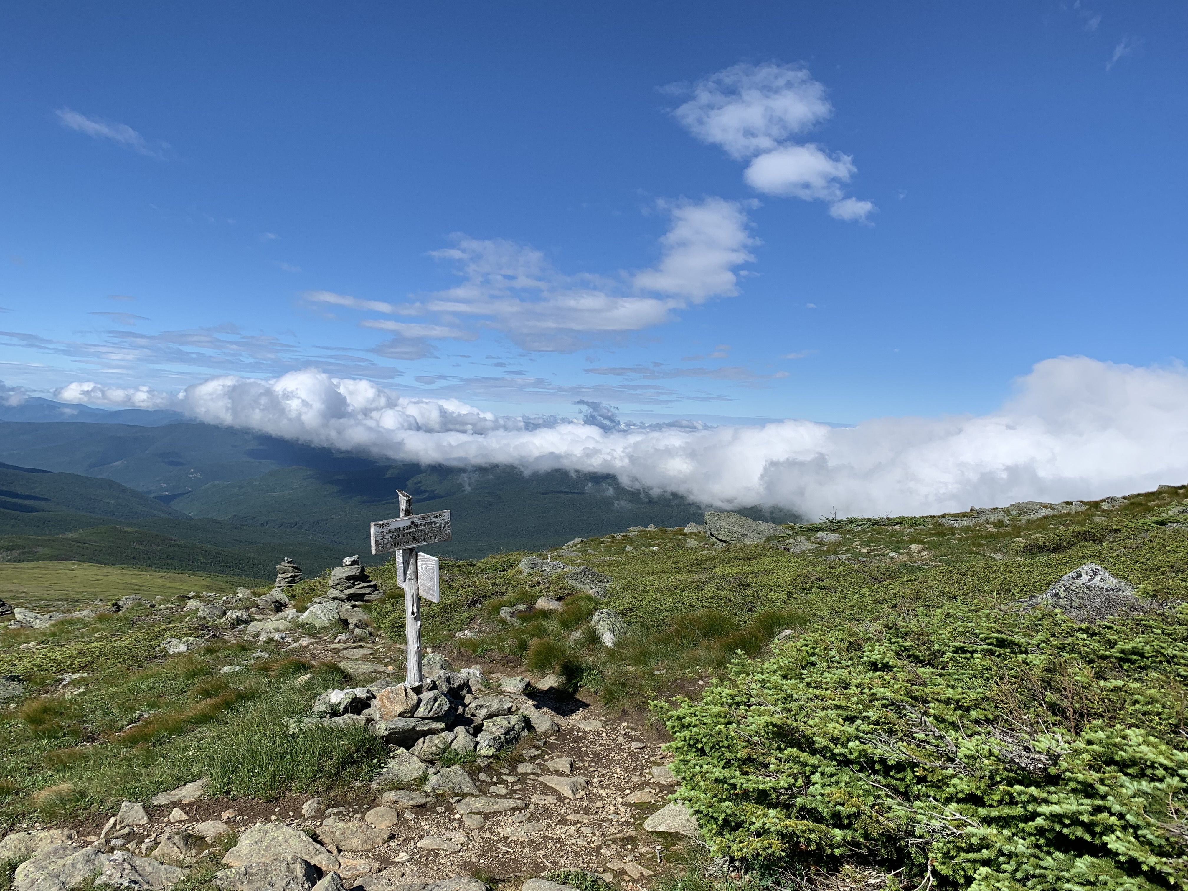
Aptly-named Isolation via the beautiful Glen Boulder Trail (yes, there are rocks so noteworthy in these mountains that they have been given names) is the first peak of the day, another glorious out-back.
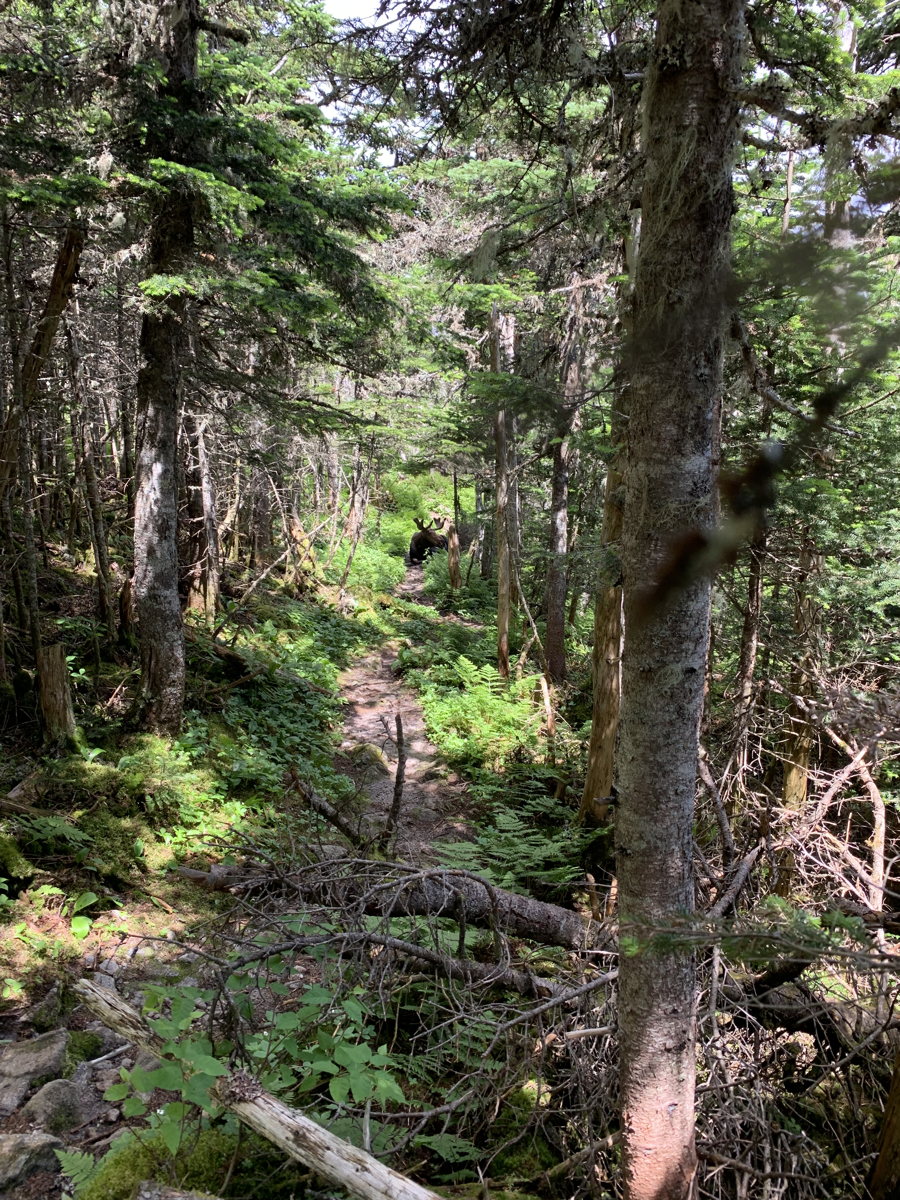
On the “back,” I turn a corner to a moose galumphing up the trail. He plops down yards ahead of me for what appears to be his afternoon siesta.
Yikes.
In all my years of hiking, I’ve never seen a moose on trail; I take it as a good omen as I bushwhack around him and head up to Washington.
It takes me an hour to ascend the final .6 up Tuckerman Ravine Trail, others suffering all around. The novelty of chili and chips, writing and mailing a postcard, and the crowds fortify me for the miles ahead, across Monroe, Eisenhower, and Pierce.
A flat rocky space appears north of Mizpah Hut, just the right size for my cozy tent, and I’m rewarded with some big sky as night falls.
Day 5 – Joe Dodge Lodge to .3 north of Mizpah Spring Hut: 18.6 miles
My first resupply is a box I mailed to myself care of the AMC Highland Center. After hitting Jackson early, I head down across the road.
When the package is handed to me, I can’t believe its weight. Tearing it open, I discover I had vastly overestimated the types of food I would want to be carrying at this point. There’s packets of coconut daal, peanut Thai sauce, and even a full jar of almond butter. I spend the bulk of the day – over Tom, Willey and Field – eating all the heavy things.
Another rustic connector leads me over to Zealand Falls Hut, where I drop my pack at 5:15 and set out to check off Hale. It’s beginning to cool, and it feels like flying not to be saddled with that full food bag. When I return, I ask the Croo at the hut if they have any leftovers and am rewarded with turkey, rice, and fresh tomato soup. AT hikers glide by my tent later that night, and I’m bolstered by their enthusiasm.
Carrigain is on my radar for the next day.
The ridiculously flat Ethan Pond Trail gives way to more wilderness as I head over to the back side of Carrigain.
I’ve climbed this way once before, and the memories come flooding back of steep after steep after steep. When the fire tower finally appears, I’m toast.
Faced with the choice of bugs in the shade or wind in the sun, I choose wind, eat almond butter by the spoonful, rest up before the final push down, down, down to the Kancamagus on dirt roads and isolated paths.
The last challenge of the day is a thigh-deep ford of the Swift River. The cold water soothes my sore muscles and feet, cleans my muddy arms and legs. I go to bed feeling renewed, despite only having ticked off one peak the entire day.
It’s taken me much longer than I had hoped to get to my soft place in the pines, but the next day is the Fourth of July, and if I walk fast enough, I could be in Waterville Valley by dinner.
Day 6 – .3 north of Mizpah Spring Hut to .4 north of Zealand Falls Hut: 21.6 miles
Peaks: Jackson, Tom, Field, Willey, Hale
Day 7 – .4 north of Zealand Falls Hut to .2 south of Oliverian Brook trailhead: 22.9 miles
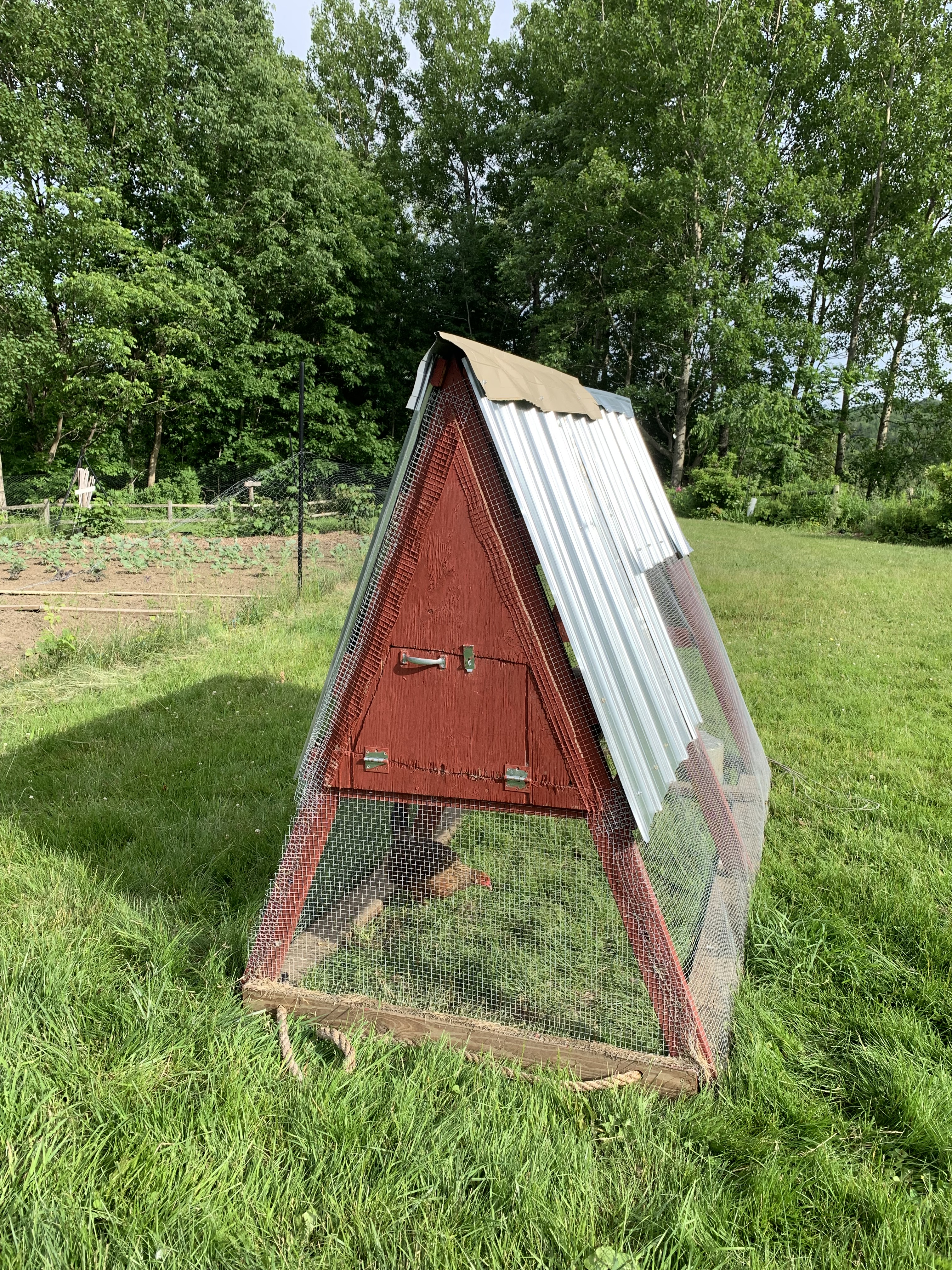
While visiting my daughter’s family “farm” in Vermont recently, I noticed they had isolated one of their hens in a chicken tractor in the middle of the yard. The poor girl jumped and paced to try to get out of her little prison, obviously highly agitated and unable to calm.
It was heartbreaking.
However, this girl was caged because she was “broody.” Instead of laying an egg and heading off to do other chicken-y things, a broody hen is fiercely devoted to hatching chicks and no good to a family who simply wants eggs to eat. She obviously didn’t understand that she needed to be separated from her other friends, to wait until her maternal instinct passed, before she could rejoin the brood.
In many ways, I’ve recently felt a bit caged myself, waiting, unable to move freely, either forward or back.
Having spent the last five or six years chasing an audacious hiking list called The Grid – New Hampshire’s 48 peaks over 4,000 feet, in every calendar month – I’m finally within reach of the finish.
The problem is, although I only have 22 more mountains to climb, they are all in the winter months. I must wait for December to come before I can begin to end what I began.
This is also the first summer in decades that I am alone in my tiny house, the youngest having moved out last August to pursue his own audacious dreams.
At times, I find myself pacing the vacant rooms, trying to escape the feelings that come with having raised my own brood to adulthood, where they need me less, and for vastly different reasons than when they were littles.
I’m trying to be content with where I am and who I am, in this season. To wait well, even though all I can think of is I want to be somewhere, to be doing something.
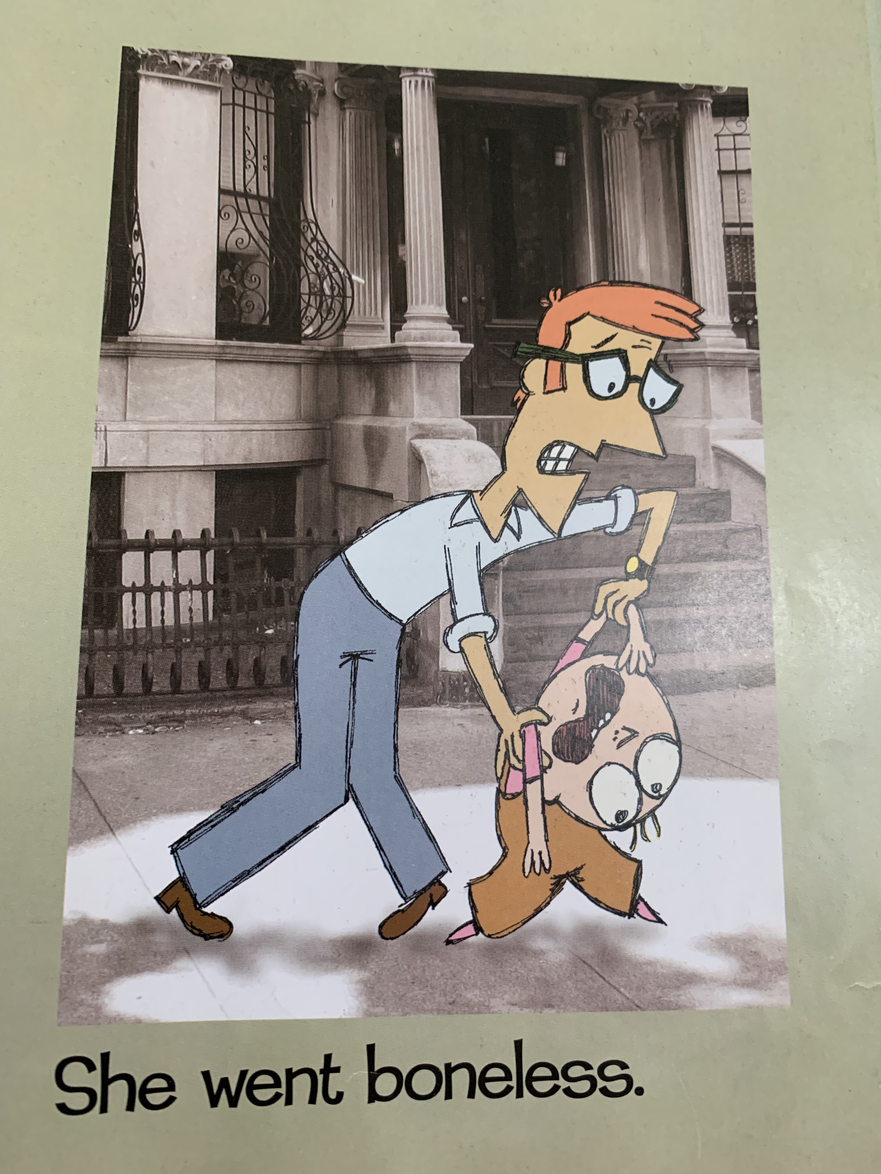
The other day, the youngest grand had an epic tantrum when it was time to leave the beach where we had been playing that afternoon.
She cried and kicked, not knowing that there was something equally awesome that Dada had planned next. A fire. S’mores.
She wasn’t willing to exchange a known good for the unknown ahead.
I admired her ferocity, even as I lamented her limited perspective. I suppose, however, that in many ways, I am like her.
I prayerfully protest, going boneless, when I cannot get my way, questioning God’s goodness and wondering why, O, why, is it taking so long?
Taking so long, when all I have done is to ask for His help, for friends and family, for myself, waiting for the unknown to become known.
I know my perspective is limited. That I cannot see what He sees.
Like little John John, sitting under the Resolute Desk, I must remember that Father knows far more than I do. My only job is to trust.
In the meantime, I will try to wait well. To stop the pacing.
I will sit in the known, content that whatever unknowable is ahead will be unfurled whenever and however He thinks is best.
Six years ago, I decided to forego the stereotypical Florida spring break – beach novels, umbrella drinks, motels – and explore instead one of America’s least beloved long distance hikes, The Florida Trail.
Swamps and road walks are two of the main reasons why the Florida Trail gets a bad rap amongst some of its showier neighbors, like the Appalachian Trail or the Pacific Crest Trail, but over the years I have come to appreciate its quirky nature, despite its propensity to repeatedly beat me up.
This year, my cousin agrees to keep watch over my car after dropping me off at mile marker 325.8, 120 miles away, on the outskirts of Tosohatchee State Preserve.
I know from researching on the FarOut app that Tosohatchee is going to be one of the swampier sections I’ll encounter this trip, and I want to be ready.
I pray in advance against the fear that has paralyzed me in the past when encountering the black water, muddy sinkholes, and potential alligators of these sections. I want to enjoy every part of my hike this year, even the scarier bits, and it’s not long before those challenges begin.
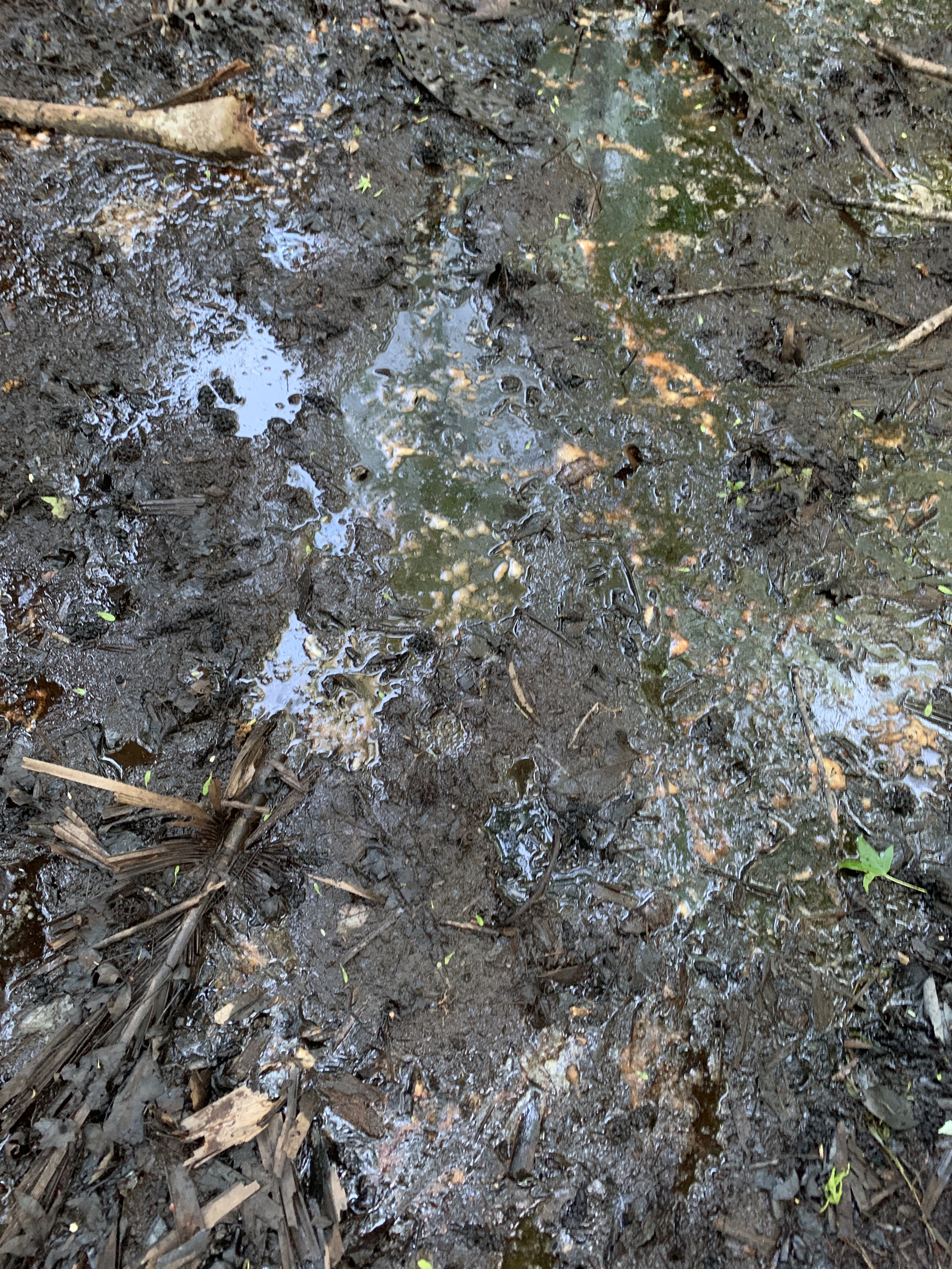
Within the first mile, I’m ankle- and shin- deep in water, but I find that by looking ahead to the next orange blaze – reasoning how not-far-away it is – I can slosh through the cool water and appreciate the beauty, even when my shoes fill with silt and I’m slashed by spikey overgrowth.
I even decide against the high-water route, which, according to FarOut, was impassable a month earlier, testing those prayers as I’m in and out of cypress swamps all afternoon.
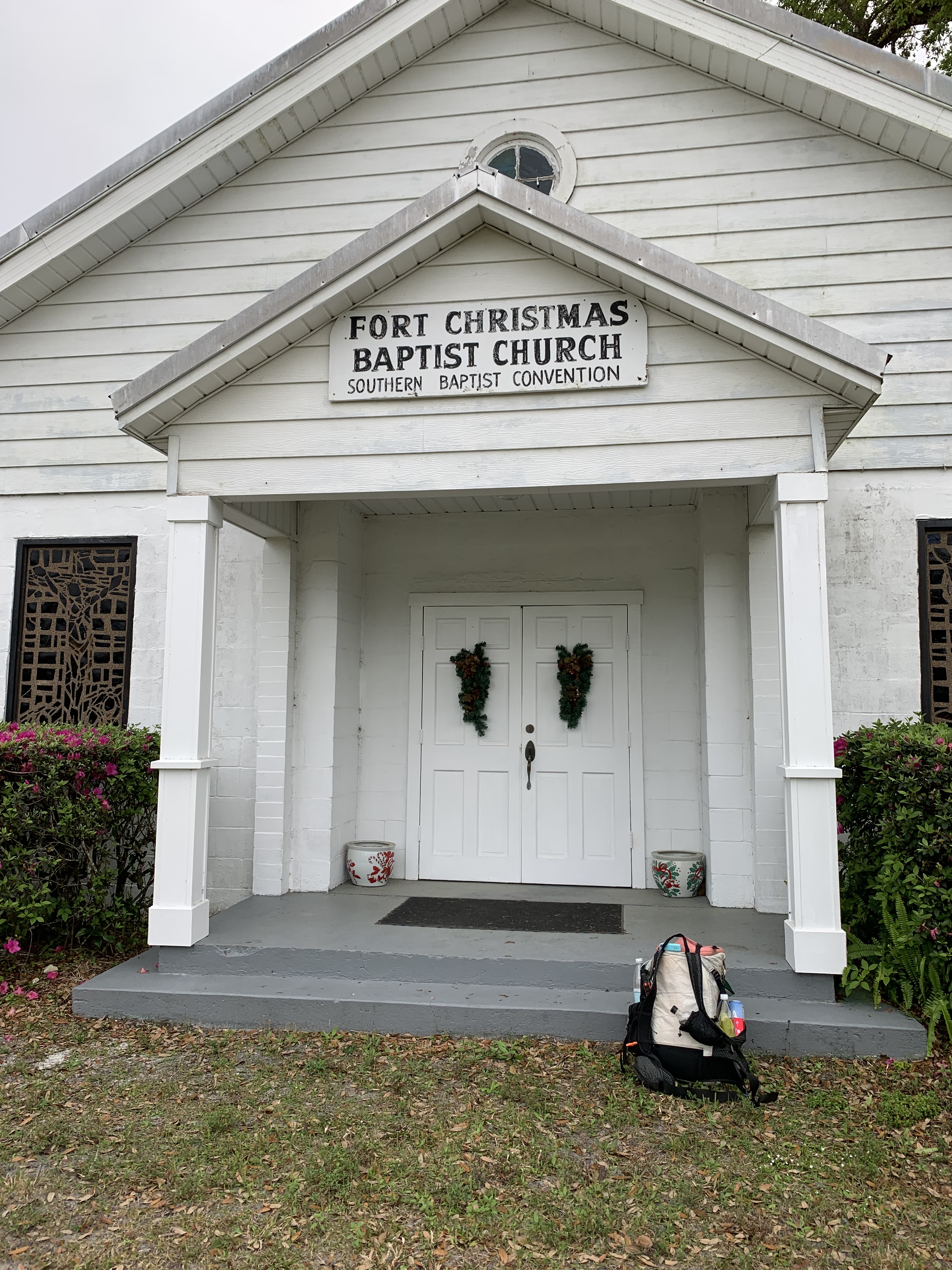
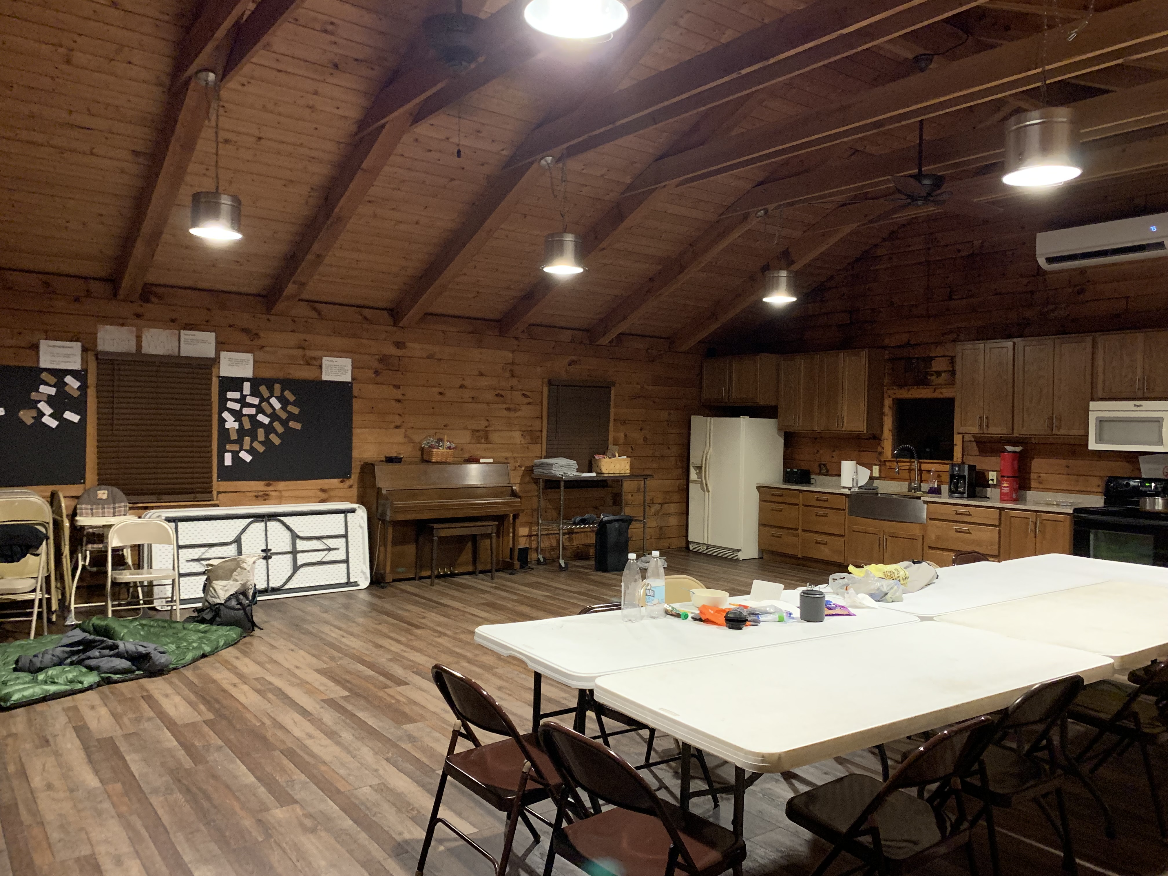
Luckily, my first night brings me to the Fort Christmas Baptist Church/ Hiker Haven, where Pastor Ken opens a spacious log cabin just for me. He even stocks the fridge with mini-Reeses, my absolute favorite.
I don’t feel quite worthy of the warm outdoor shower and roof over my head, given I’ve only done 15 miles and it’s my first day, but I enjoy the luxury in the spirit of “the trail provides.”
That night, I am welcomed into a sobriety group that meets in the cabin on Tuesday nights. The moderator, Glen, includes me in the conversation by asking how hiking relates to the topics they discuss. This is a safe group of fellow believers, and I marvel at how such an eclectic span of people – from an elderly cowboy to a middle age couple to a young 20-something, sweet-faced girl working on her first few months – can be so honest and open about their struggles and triumphs.
We discuss Psalm 23, talk about how God prepared one of the attendees for the death of her father.
I am blown away by these two ideas juxtaposed, as I recall how God prepared me for the death of my son eight years ago. Has it really been that long?
For a few weeks leading up to his crash, I kept seeing Psalm 23 everywhere I turned – in my daily devotions, in random emails, on the wall of a laundromat. Everywhere.
Yea though I walk through the valley of the shadow of death, I will fear no evil, for thou art with me.
I will not fear.
The very prayer I had been praying all day.
As we hug good-bye and wish one another Godspeed through our unique valleys, I remember hearing, years ago, how a shadow cannot harm. Lacking substance, a shadow is nothing to be afraid of; I can walk through shadows – even unpleasant, squishy ones – with bold confidence, trusting the One who is always with me.
I go to sleep thankful for the gift of this meeting, unexpected yet profound.
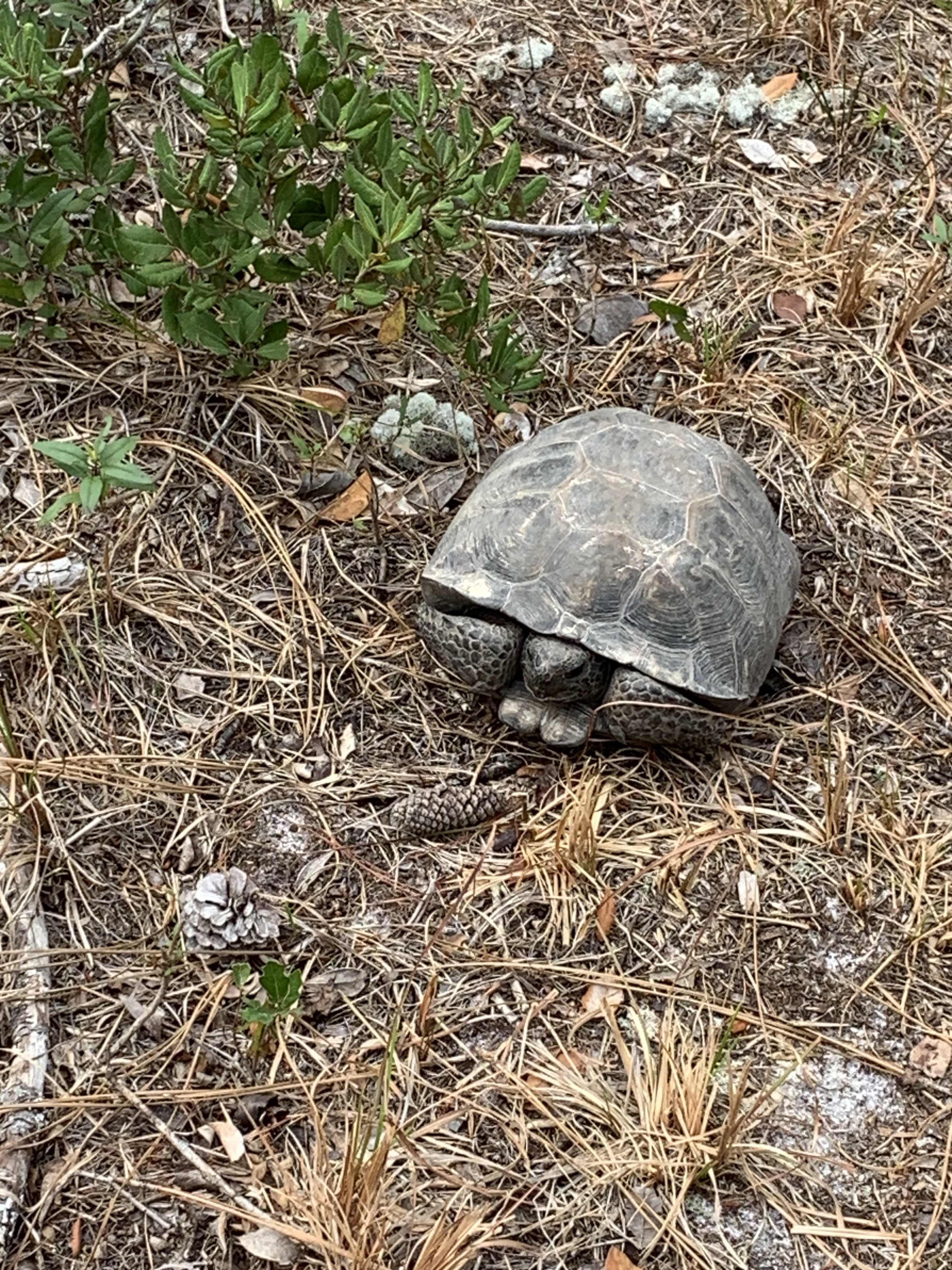
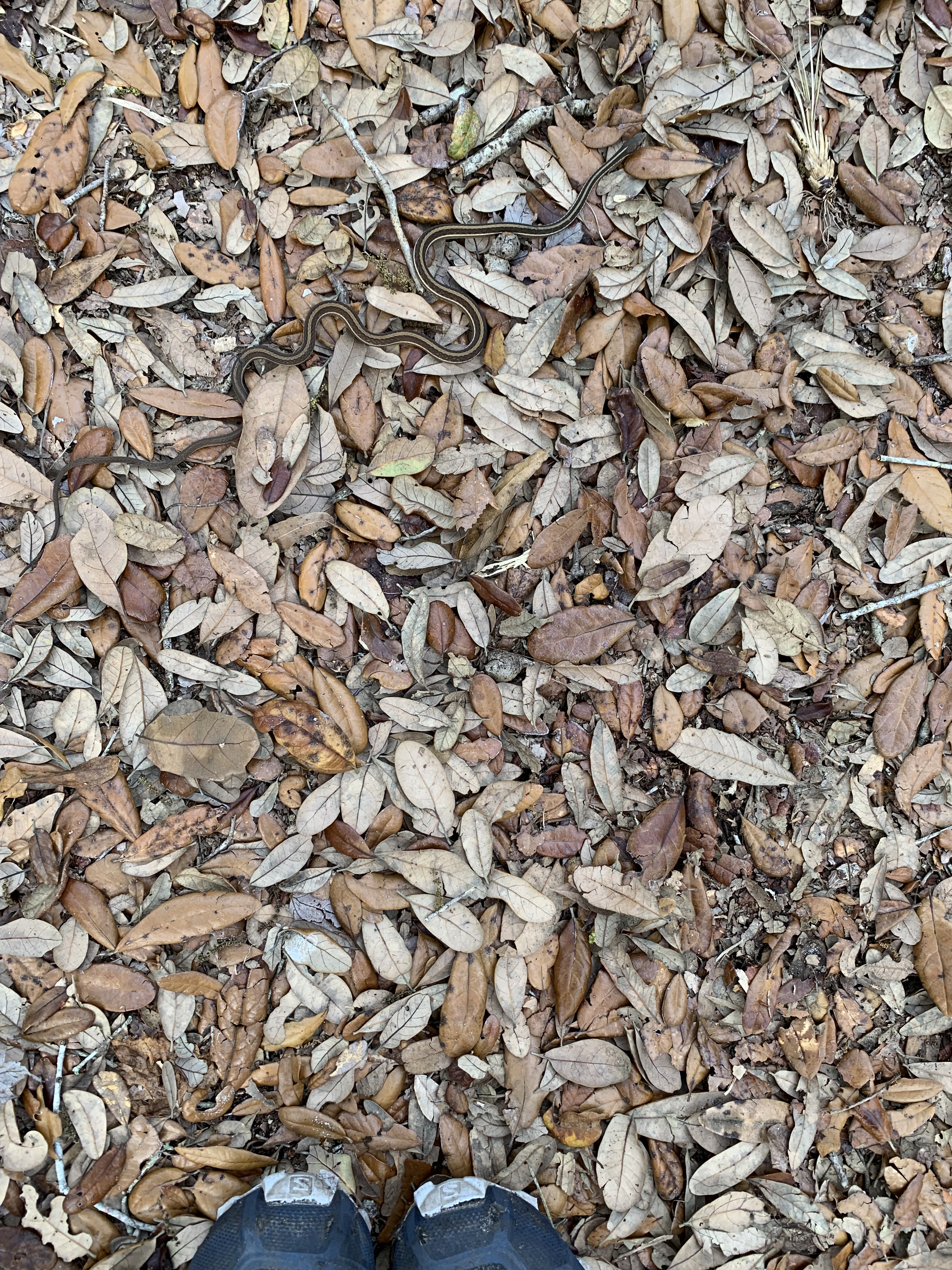
It rains overnight, so packing up dry is a joy. So are the miles ahead, as armadillos, tortoises, snakes, and even a skunk pepper the trail, reminding me that even though this section skirts the urban sprawl of Orlando, the rightful residents still find a way to endure.
An added bonus are the many opportunities to refuel along the way: smoothie shops, Starbucks, Publix. As I wend my way north, the sprawl thickens and I find myself, after miles of concrete, longing for a swamp or two.
In Paisley, I stop at a Dollar General to resupply and find a puddle of shade. Sitting on a dirty curb, it takes me four tries to hit the right pocket to drain the fluid from a blister on the sole of my foot. I listen as a man f-bombs his children into silence as they wait, strapped in car seats, for him to unpack his cart of groceries. I’m broken by the sadness of it all.
I wish there were something I could do, but his hostility is unsafe, and I get up and keep walking.
A night spent in a sketchy tent sight right off a busy bike path gives me the willies, as does a warning on FarOut.
I will not fear, I will not fear, I will not fear.
I wake up early and hoof it through that section, happy to leave Orlando behind.
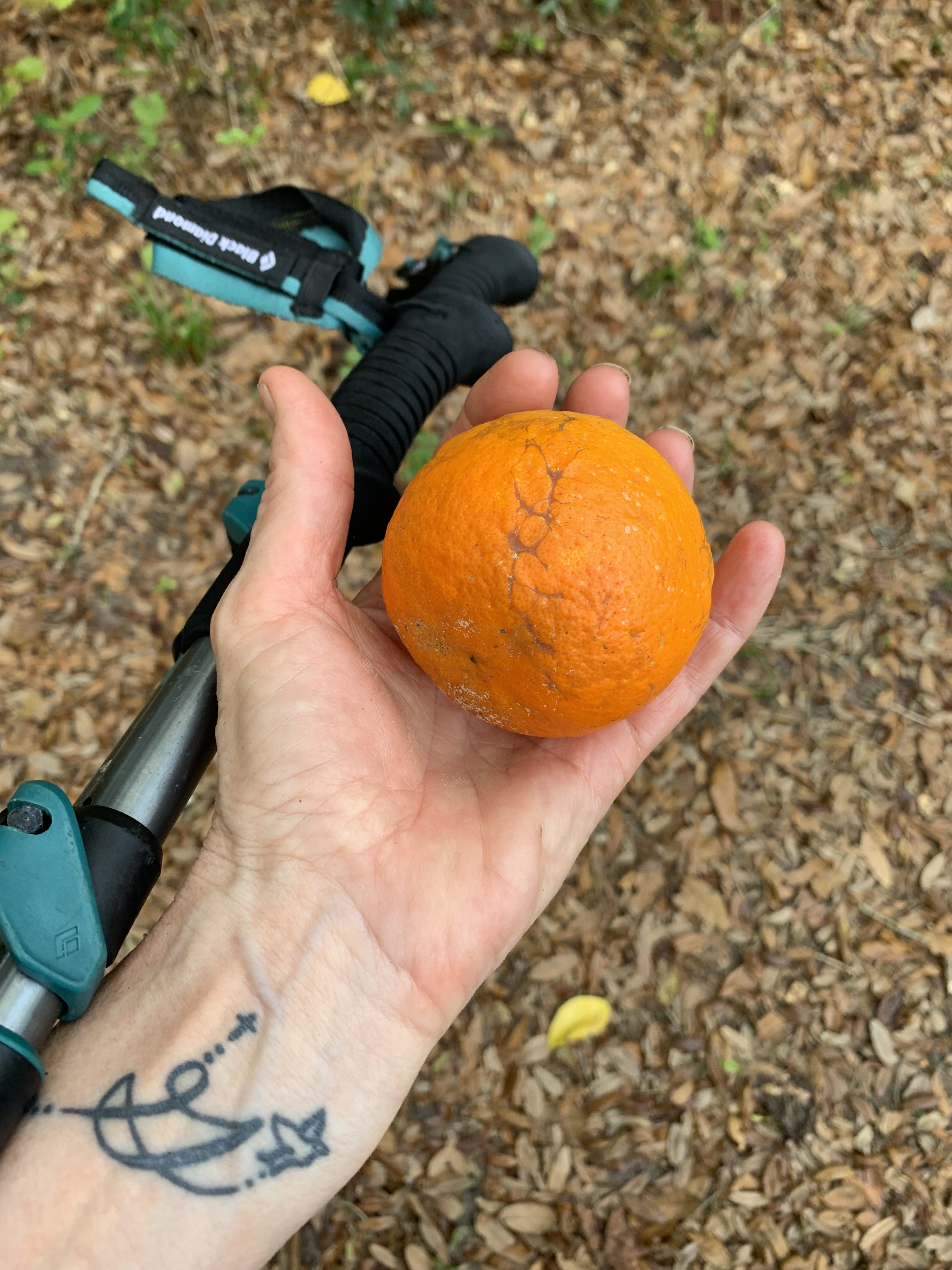
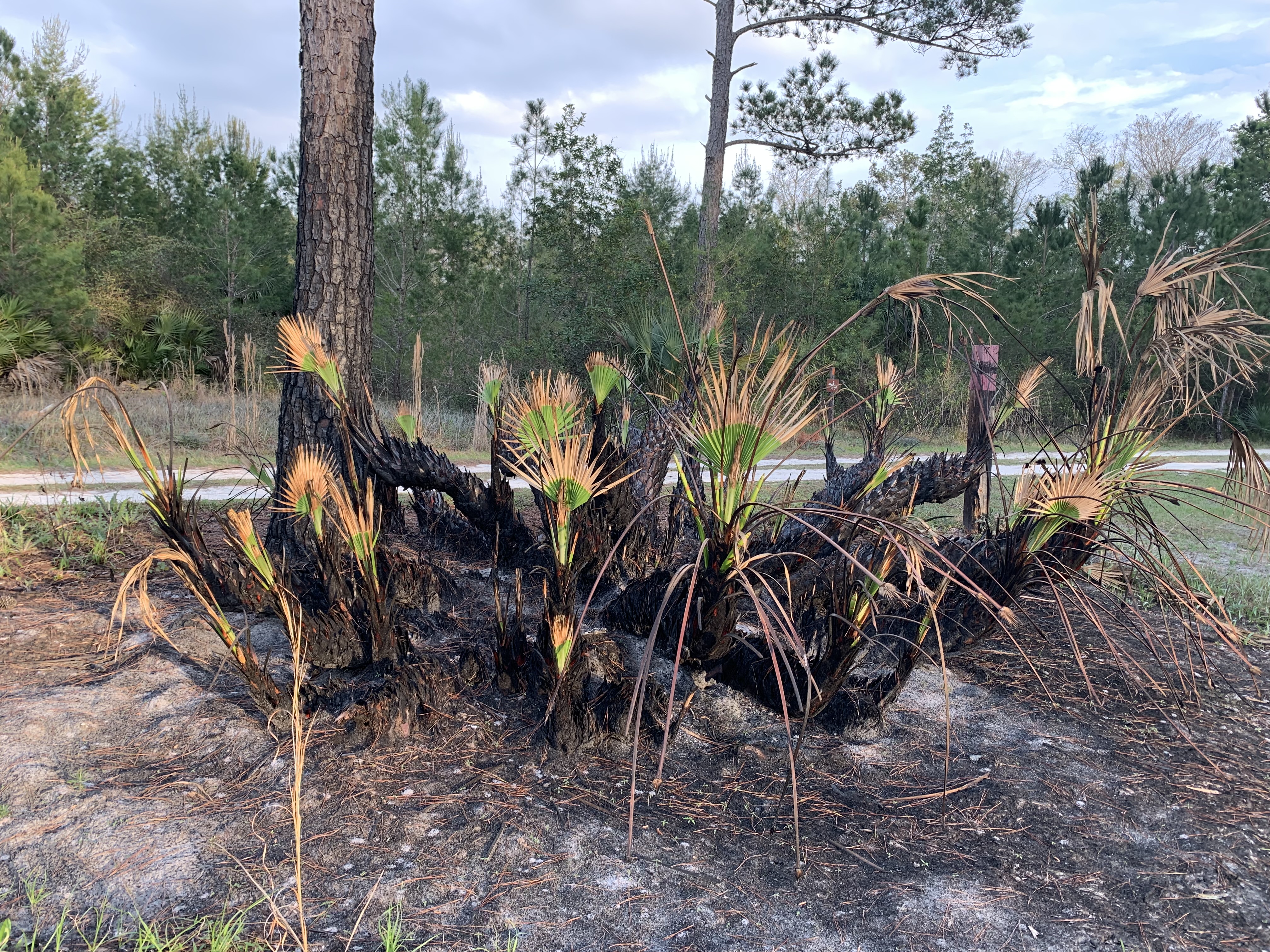
Thankfully, the trail leads upward into Seminole State and Ocala National Forests, where I discover lakes, a wild orange tree, vast prairies, and nature resiliently recovering from prescribed burns.
Full disclosure: the orange tasted more like a lemon, but the liquid novelty made up for it.
On the last day, I pop out of the woods at the same road crossing where my cousin dropped me off a year earlier, linking last year’s miles with this year’s.
The shadows recede as she gives me a ride back to my car.
What began, years ago, as a way to escape the cold has become one of the highlights of my spring break.
I’m grateful that I still have a few hundred miles left, grateful that they will be there for me next spring, grateful that I can hike them and not be afraid.